Mount Merapi
Mount Merapi, Indonesia
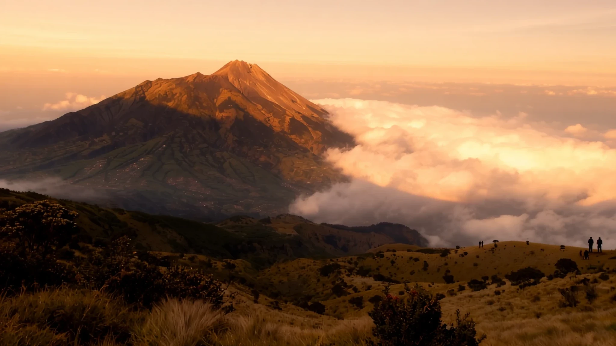
Merapi is one of Indonesia's most active volcanoes, and the villages on its flanks live alongside it every day.
The place
Mount Merapi is a stratovolcano on the boundary between Central Java and the Special Region of Yogyakarta, about 28 km north of Yogyakarta city. Its summit stands 2,910 m above sea level. Smoke is often visible drifting from the crater, a reminder that this is a volcano which has been erupting, on and off, for centuries. The name is usually rendered as 'fire mountain', and that fits.
Life goes on around it. Thousands of people live on the flanks, and settlements climb as high as about 1,700 m. Fields, homesteads and roads form a patchwork up the slopes, with the lower land farmed and grazed. Yogyakarta, a city of around 2.4 million people, is close enough that many visitors treat the mountain as a day trip, though the upper slopes are a different proposition altogether.
The southern and northern approaches feel quite different. The southern side, around Kaliurang and the Sleman area, has museums, guesthouses and volcano-related attractions. The northern route from Selo is where most climbers now begin, because recent eruptions have sent gas and ash southward. Access changes with the mountain's mood, so a route that is open in one season may be closed the next. Expect hazard notices, checkpoints and guides who know the current picture better than any guidebook.
Its story
Merapi is the youngest of a group of volcanoes in southern Java. It sits where the Indo-Australian plate slides beneath the Sunda plate, and it belongs to the stretch of fault lines around the Pacific that geologists call the Ring of Fire. Stratigraphic work suggests eruptions here began around 400,000 years ago.
For a long time the lava was runny and basaltic, flowing rather than blasting. Over the millennia it grew thicker and more andesitic, so it piled up into domes. When a dome collapsed, or a tall column of ash fell back on itself, the result was a pyroclastic flow: a fast, hot cloud of gas and rock running down the slope. This mechanism sits behind many of the deadly events.
Small eruptions tend to come every two or three years, with larger ones roughly every ten to fifteen years. Notable eruptions with heavy loss of life include 1822 and 1930. In the latter, thirteen villages were wiped out and about 1,400 people died in pyroclastic flows. A very large eruption in 1006 is said to have blanketed central Java in ash.
The modern record is hard too. On 22 November 1994, a pyroclastic flow killed 27 people, mostly in Muntilan to the west. A larger eruption in 2006 came shortly before the Yogyakarta earthquake.
The most serious recent event began on 25 October 2010, when the southern and south-eastern slopes erupted. Over the following month 353 people died and around 350,000 were forced from their homes. Most of the damage came from pyroclastic flows, but heavy rain on 4 November set off lahars, mudflows of volcanic debris that caused more destruction. By 30 November, the majority of the fissures had ceased spewing lava, and officials cut the alert level down four days afterward. Because of the risk to dense populations nearby, Merapi was named one of the Decade Volcanoes, a list singled out for close study.
What to see
- Museum Gunungapi Merapi — Southern slope, Kinahrejo area
The volcano museum is the place to understand what Merapi actually does to the land. Its displays cover eruptions, the hazards that come with them and how the landscape has been reshaped. Many visitors continue to the Kinahrejo area by jeep or motorbike, where the trail passes ground marked by the last major eruption. Check current access before going, because routes change with activity.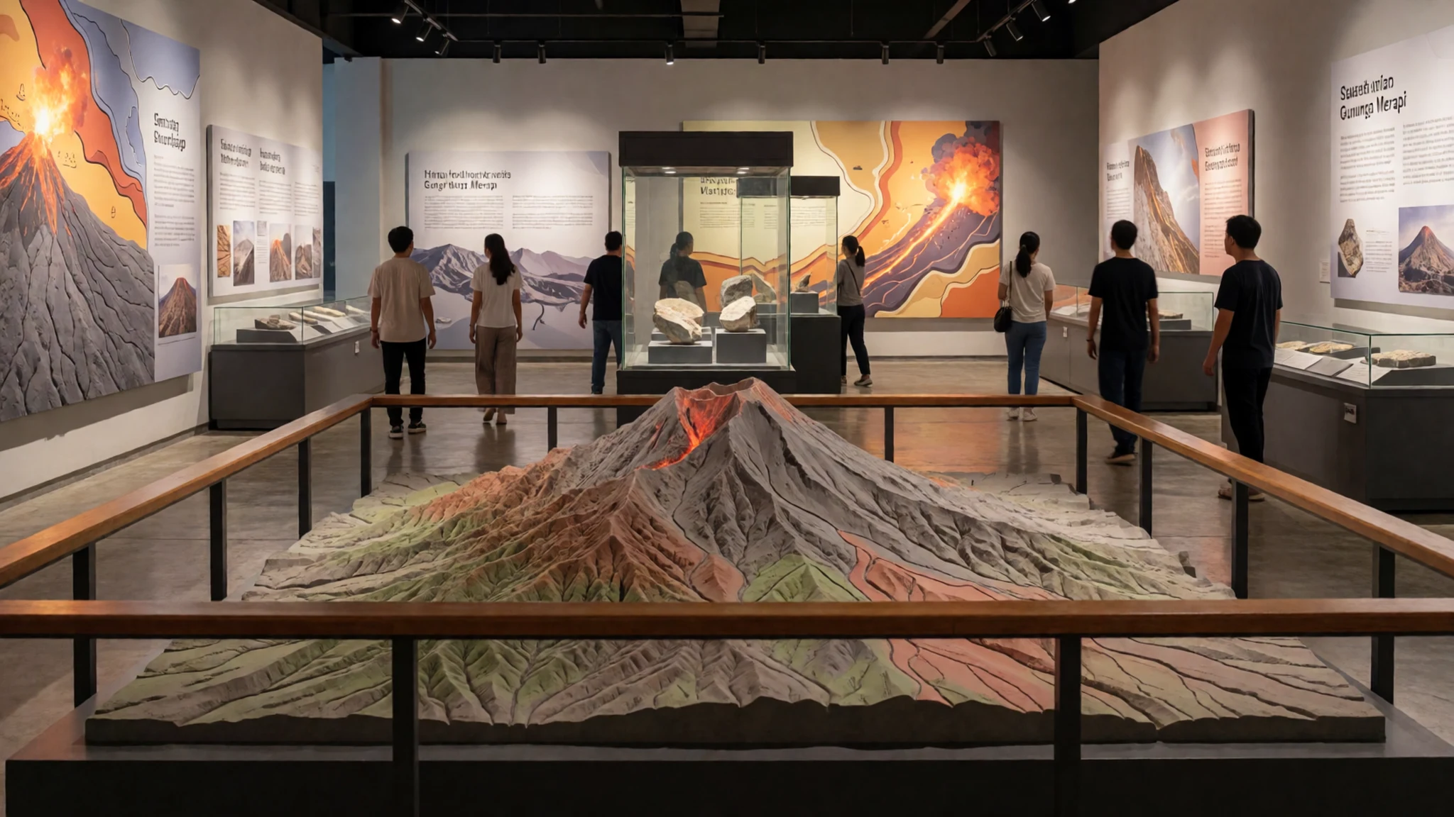
- Ullen Sentalu Museum — Southern foothills
Ullen Sentalu is a museum devoted to Javanese culture. Its name comes from a Javanese phrase that compares the flame of the blencong lamp to a guide for walking and living. It makes a good change of pace from the mountain, especially in the heat of the day. Check opening times on the official site before you set out.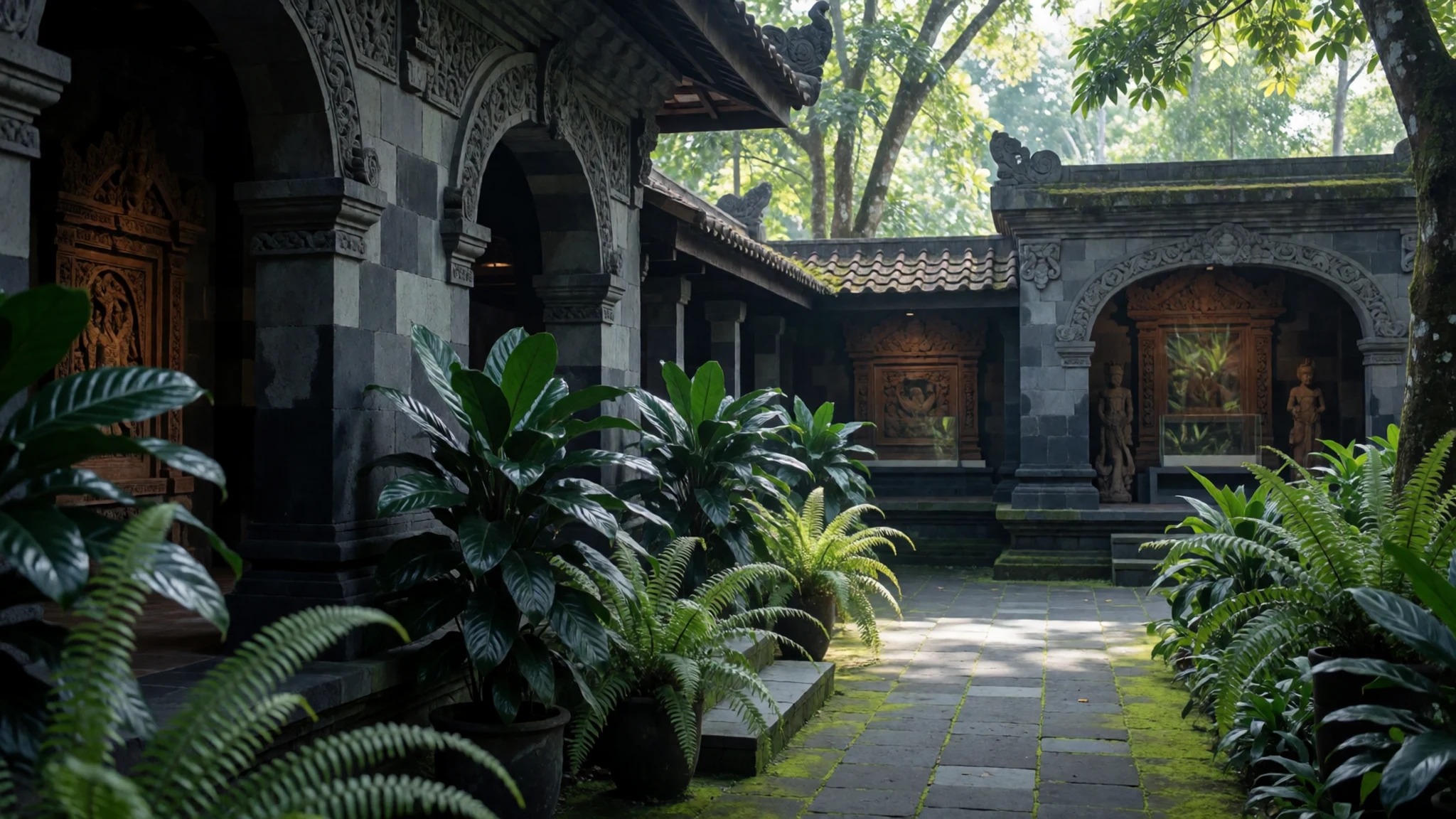
- Plawangan Hill — Southern slopes
Plawangan Hill once held an observation post run by the volcanological survey, but after the 1994 eruption the post and its equipment were moved to Kaliurang because the higher point was too dangerous. On a clear day it gives a good view of the southern slopes. Clear air is the catch: when eruptive gases drift south, the view disappears. Dress warm, go early, and ask at the post or from your guide about conditions before you walk up.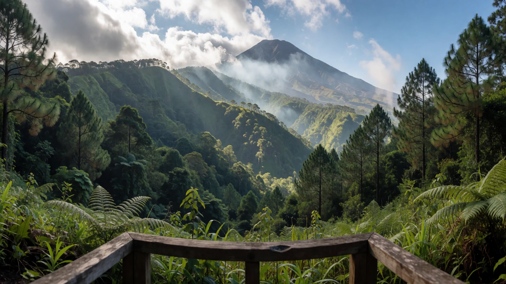
- Girpasang Bridge — River valley below the southern slopes
Girpasang Bridge is a suspension bridge for pedestrians, and a gondola runs over the river alongside it. It makes a light outing rather than a hike, with the slopes rising behind and the river gorge below. Come for the views and a stroll. Bring water, and check on the day whether the gondola is running, since services change.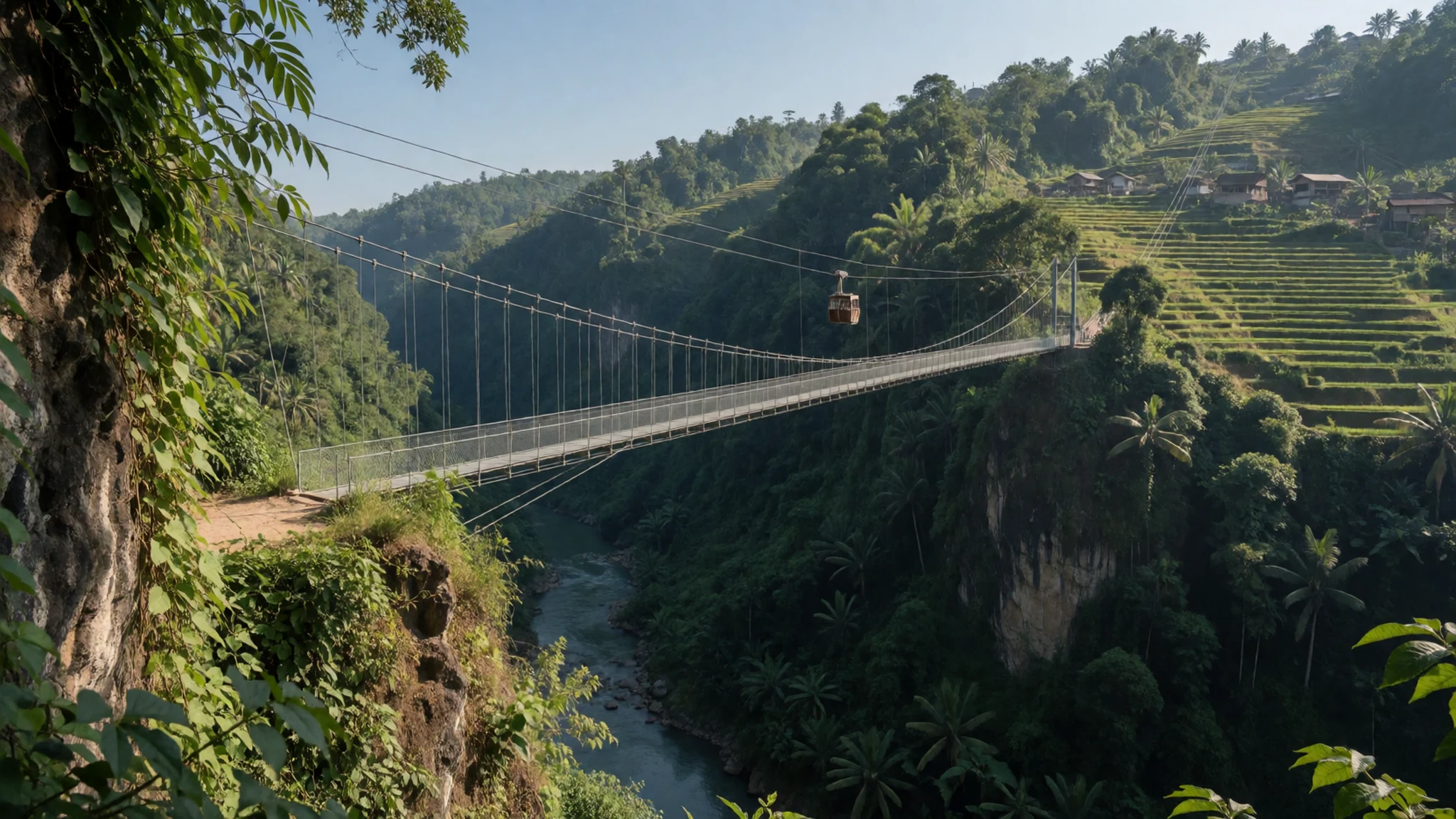
- Merapi Guide Association (MAGIC) — Mountain access points; ask locally for the current base
The Merapi Guide Association, known as MAGIC, is the body to talk to before any serious walk on the mountain. Its guides know which routes are open and what the current hazard picture looks like, which matters because access shifts with activity. Hiring through an association is a practical way to support the people who depend on the mountain for their livelihoods.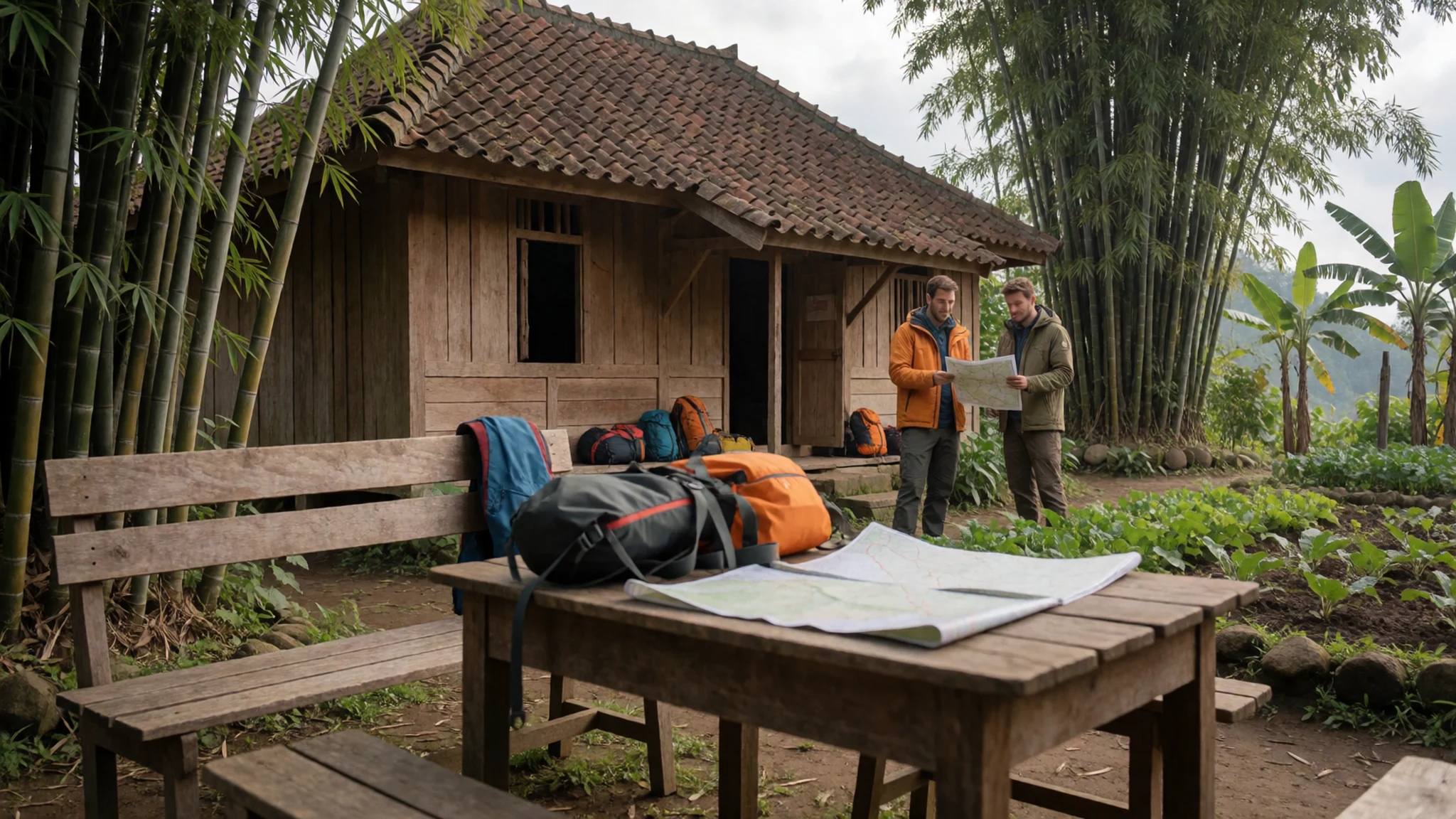
Culture
Merapi is part of everyday life for the Javanese communities on its slopes. Many people here farm, run small businesses and send their children to school close to the volcano. A flag-raising ceremony for schoolchildren on the slopes is a reminder of how ordinary life carries on in its shadow. The mountain also carries spiritual weight in Javanese belief, and local people often speak of it with respect rather than as a sight to be ticked off.
Villages move at an unhurried pace. Greetings matter, and when people are pleased to see you they may invite you in for tea or a snack. Conversation tends to be gentle and polite, and voices are rarely raised, even when discussing hazards. Keep a relaxed manner and accept hospitality graciously.
Ask before photographing villagers or ceremonies, and dress modestly in villages.
What to wear
Traditional dress in the Javanese heartland centres on batik, a cloth patterned by applying wax before dyeing, so the waxed areas stay pale. Batik motifs carry long-standing meanings and are chosen for weddings, ceremonies and formal occasions. For women, the kebaya, a fitted blouse usually worn with a batik sarong, remains the standard formal outfit. Men often wear a batik shirt or jacket on similar occasions.
Day to day, people on the slopes wear practical clothes: T-shirts, jeans, sarongs for home, and headscarves for mosque visits. Work clothes are simple and durable, because the land and the weather are hard on fabric.
For a visitor, dress in layers. Mornings on the higher slopes can be cold and wet, while the lower land is hot and humid, so a light waterproof and a warm top are sensible. Choose sturdy closed shoes with good grip for loose volcanic rock and ash. Cover shoulders and knees when visiting villages, mosques or any ceremony, and wear a sarong or a loose wrap if you enter a religious site.
What to eat
- Jadah tempe — Market in front of the Kaliurang parking area
At the market in front of the Kaliurang parking area, look for tempeh cooked in a local way and sold as jadah tempe. It is cheap and filling, a good snack before or after a walk on the slopes. Buy it early, when the stalls are at their freshest.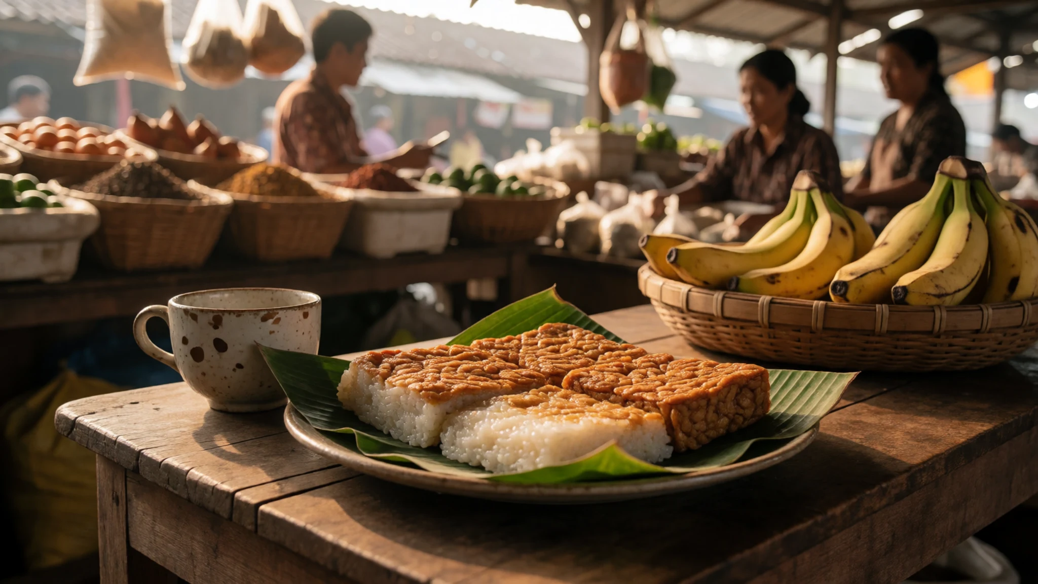
- Bakso and warung meals — Warungs and bakso carts in and around Selo
Around Selo, warungs (simple family eateries) and bakso carts serve Indonesian street food at very low prices. Bakso is a meatball soup, usually served hot with noodles. It is the best fuel before a climb, and it is the kind of meal you will find out here.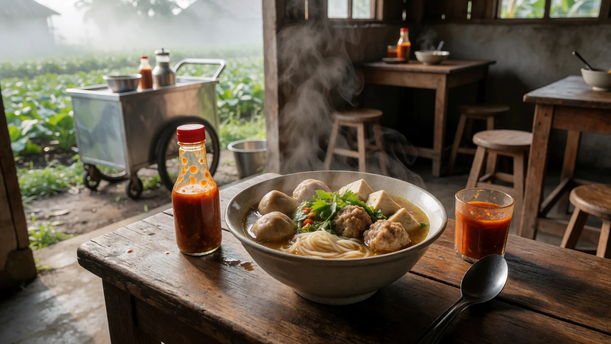
- Bananas and avocados — Banana stands, Pakem village, on the Kaliurang road
On the road to Kaliurang, at Pakem village, a banana market has five or six stands on the right-hand side. Bananas and avocados here are very good value. Buy some to carry on a climb, since they travel well in a daypack. - Coffee at Kopi Petruk — Cafe on the mountain slopes
Kopi Petruk is a cafe on the slopes of Mount Merapi, and a useful stop for a hot drink on the way up or down. Coffee is the main draw, and the setting is a draw too. It is a good place to rest and look back at the mountain.
Plan it
Best time. The drier months, roughly June to September, are the most practical for walking, with clearer skies and firmer trails, though July and August are the driest. Volcanic activity matters more than the calendar, so check the current alert before choosing dates.
How long. 1–2
Getting there. Fly into Yogyakarta International Airport, then take a taxi or pre-booked car to Selo, the last village on the northern route, a drive of several hours on winding roads. A scooter is an option for confident riders.
Budget. mid
Tips
- Hire a local guide through an association, especially for the summit route
- Check the latest volcanic alert and access restrictions the day before you go
- Start early, when skies are more likely to be clear
- Carry your own water, as you will find no fresh water sources along the route
- Pack warm layers, rain gear and sturdy shoes for cold, wet and gritty conditions
Etiquette
- Follow your guide and posted hazard signs without argument
- Stay on marked trails and do not enter closed zones
- Ask before photographing people in villages
Nearby
Sources
- Wikidata Q134108 (CC0)
- Wikipedia: Mount Merapi (rev 1369921856) (CC BY-SA 4.0)
- Wikivoyage: Mount Merapi (rev 5353976) (CC BY-SA 4.0)
- Mount Merapi Not Just a Legend and Mythology (Rosalia.silaban) (CC BY-SA 4.0)
- Pendidikan Karakter Dan Nasionalisme (Fahmi Widayat) (CC BY-SA 4.0)
- Prambanan Java243 (Arabsalam) (CC BY-SA 4.0)
- Destroyed house in Cangkringan Village after the 2010 Eruptions of Mount Merapi (Crisco 1492) (CC BY 3.0)
- The peak of Merapi seen from Klangon (Sam Hidayat) (CC BY-SA 4.0)
- Blethrow merapi1 (unknown author) (CC BY 3.0)
- 06MUJIB (Arfani Mujib) (CC BY-SA 4.0)
- 104a Kaliurang Mt Merapi, Indonesia 1971 (wilford peloquin) (CC BY 2.5)


