Mount Liamuiga
Mount Liamuiga, Saint Kitts and Nevis
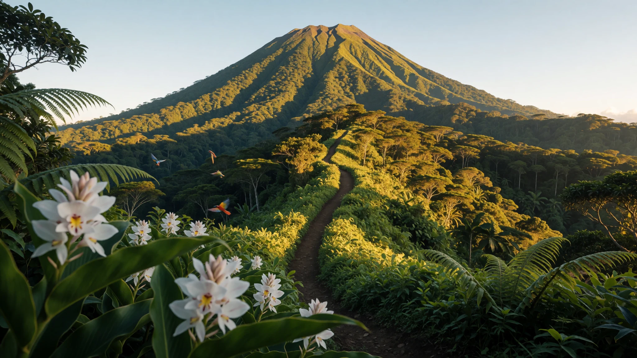
Mount Liamuiga is the steep, rainforest-topped volcanic high point of Saint Kitts—most comfortable to hike in the cooler, drier months.
The place
Mount Liamuiga is a dormant stratovolcano that forms the north-western part of Saint Kitts in the federation of Saint Kitts and Nevis. At 1,156 m, it’s the highest point on the island of Saint Kitts and a major climb in the eastern Caribbean. The summit is topped by a broad crater—about 1 km across—with a history of a shallow crater lake that has re-formed after earlier changes. The volcano’s more recent activity isn’t something you plan around: the last verified eruptions were around 1,800 years ago, with later reports described as uncertain.
What makes Liamuiga feel like a different world is the way the landscape changes with height. Around the lower slopes, farmland and small villages spread up to roughly 460 m, so you get glimpses of working island life as the track begins. Above that, lush tropical rainforest covers the mountain, until cloud forest takes over around 900 m—cooler air and heavier shade as you climb.
The hike is famous locally, but it’s not a “summit by default” trail: the main path leads to the western edge of the crater rather than to the highest point itself. That still delivers that big-volcano feeling—wide views of the island’s ridges and the sense of standing in a bowl of ancient rock.
If you’re coming from the more relaxed beach areas, it helps to set expectations: Liamuiga isn’t a paved attraction. It’s a proper tropical hike where weather, mud, and heat matter, and where the trail can be less forgiving than postcards suggest.
Its story
Mount Liamuiga’s story starts with a name shift. The volcano was formerly called Mount Misery, and it was renamed on Saint Kitts’ independence day, September 19, 1983. Even now, older locals may still use the older name, which you’ll hear if you chat beyond the main tourist spots.
The name Liamuiga comes from a Kalinago word for the island of St Kitts, meaning “fertile land”. That meaning fits what the mountain actually does for the island: the lower slopes support agriculture and villages, and the rainforest higher up feeds rivers and thick vegetation. In other words, the volcano isn’t just a lookout—it’s part of the island’s day-to-day ecology.
Geology isn’t the only heritage here. Saint Kitts and Nevis has a history of switching hands between English and French authorities, and that legacy shows up in the built environment. In the capital Basseterre, you’ll find British colonial-style streetscape details, and small reminders like Circus Place’s reproduction of the ‘Berkeley Memorial Clock’—the kind of thing you’d miss if you only planned “crater and back”.
Travel rhythm also matters. Many visitors arrive by cruise schedules or beach-based stays, then squeeze in the hike as the island’s dramatic centrepiece. The best moments tend to happen early, when the air is cooler and the trail feels calmer, before heat and afternoon clouds start to press in. After a few hours on the rainforest switchbacks, the crater rim feels like an ending you earned, not just a checkbox.
What to see
- Mount Liamuiga crater rim hike — North-west Saint Kitts (around the crater)
Mount Liamuiga’s main hike takes you to the western edge of the crater rather than straight to the top. It’s a well-trodden route that’s easy to follow, with difficulty rising towards the upper sections.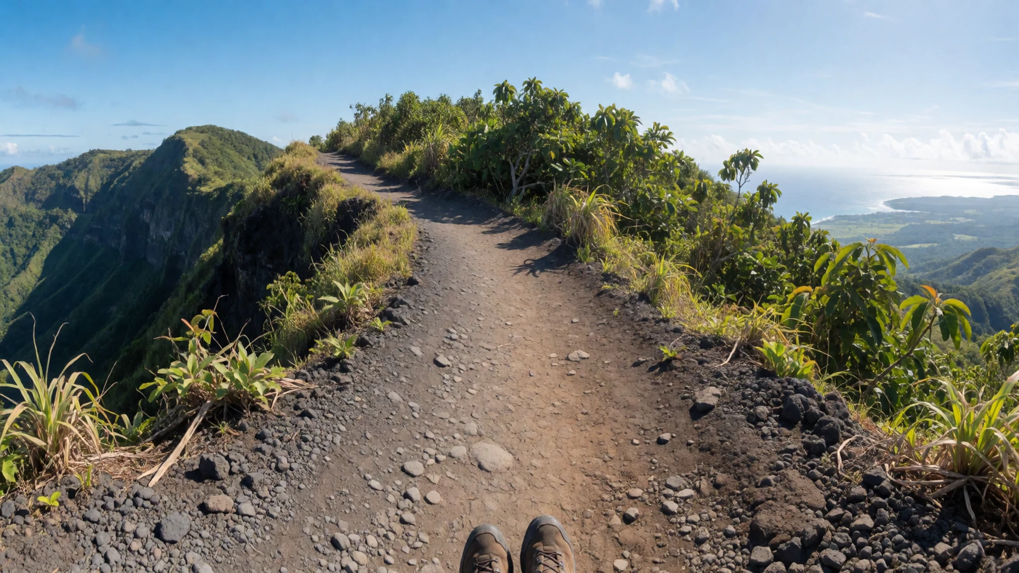
- Rainforest-to-cloud-forest change on the climb — Mid-to-upper slopes of Mount Liamuiga
As you gain height on Mount Liamuiga, rainforest thickens and light changes. Around the higher levels, cloud forest replaces the earlier greenery, bringing cooler air and misty conditions that can appear quickly.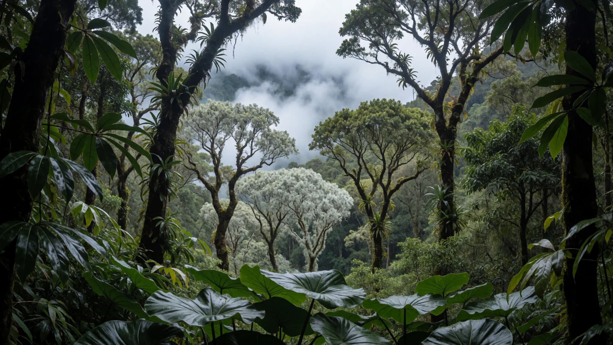
- Guided tour vs self-guided trails — Trail network on and around Mount Liamuiga
Mount Liamuiga hiking often comes as self-guided because the main crater-route is easy to follow. If trails beyond the main path look confusing, a guided tour can help—especially where marking is limited.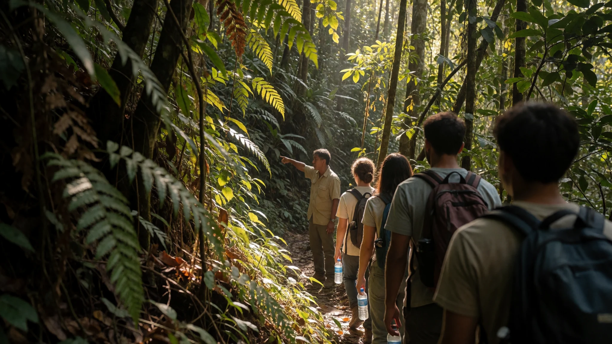
- Lower trailhead area before the crater climb — Approach around the Mt Liamuiga Trailhead (lower slopes)
The initial approach starts near the trailhead a little over 2 miles north-west-west of the crater, before the route settles into the mountain’s green belt. This is where you’ll first feel the heat and humidity.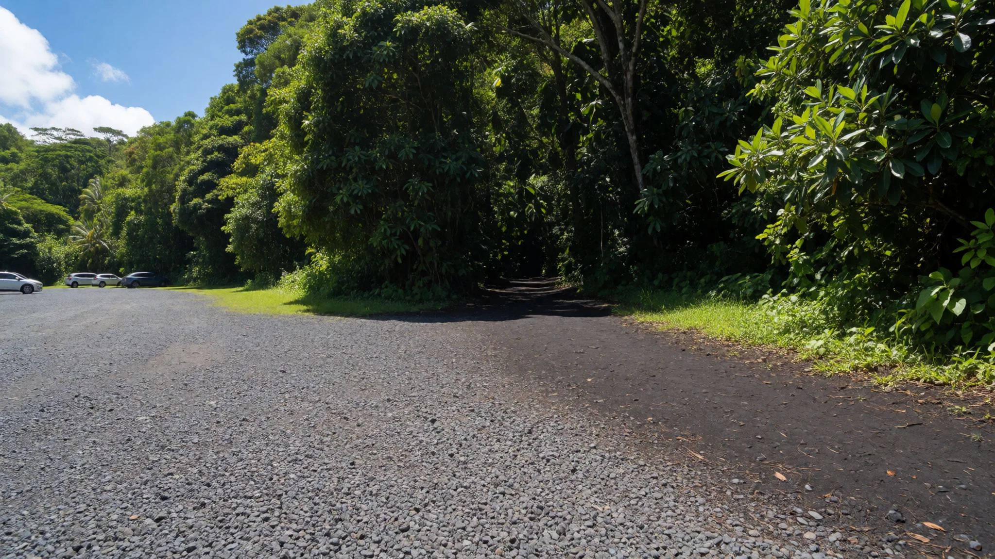
- Farm villages around the mountain’s base — Lower slopes of Saint Kitts’ north-west
Up to about 460 m, the mountain’s sides are wrapped in farmland and small villages. Expect glimpses of everyday island life before the trail sinks into rainforest, so the climb starts less “wilderness” and more “working landscape”.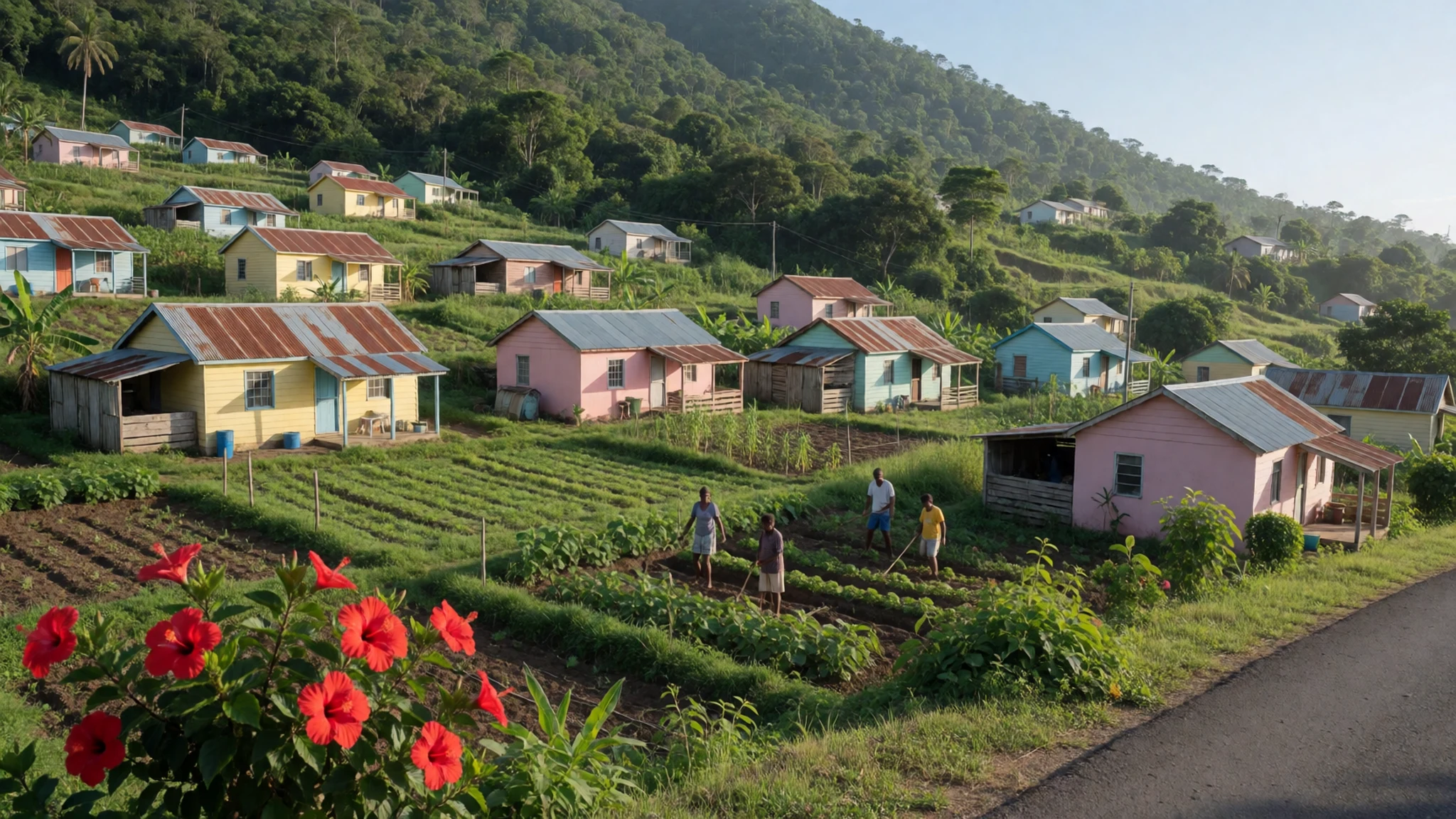
Culture
Saint Kitts and Nevis feels distinctly British in small, practical ways, and Mount Liamuiga sits inside that wider cultural mix. The islands have a history of shifting between English and French influence, which left a patchwork of language, town layouts and architecture. In Basseterre, that style shows up in the colonial-looking streetscape and landmarks such as Circus Place’s reproduction of the ‘Berkeley Memorial Clock’.
On the mountain, the culture is more about how people move through the landscape. Farming and villages on the lower slopes mean the hike isn’t isolated from daily life; locals may be working while visitors are starting out. That’s one reason to behave like a courteous guest: keep to the trail, don’t treat viewpoints near houses as a backdrop set, and remember the mountain is part of people’s environment, not just a backdrop for photos.
Because it’s a rainforest climb, there’s also an etiquette around personal space and noise. If you reach a crowded section during the day, let other hikers pass, and keep voices low—birds and quiet can disappear fast when groups bunch together.
Visitor etiquette: stay on marked paths and keep voices down near homes and farm edges so you don’t disturb the people living on the mountain’s lower slopes.
What to wear
For Mount Liamuiga, dressing is mostly about tropical practicality, not traditional costume. You will likely be walking through humid conditions that can feel hot and then suddenly cooler near cloud-forest elevations. Choose lightweight, breathable clothing (like moisture-wicking tops and quick-drying bottoms) and bring a light layer for misty, shaded sections near the top. Proper footwear matters: the trail can be slippery, and the safest bet is sturdy trainers or hiking shoes with decent grip.
Traditional dress on Saint Kitts and Nevis isn’t typically what people wear on a mountain hike, but you’ll still see local outfits in town—often textiles chosen for celebration days rather than long-distance walking. On beach days in the nearby Frigate Bay area, casual clothing dominates: shorts, summer dresses, and flip-flops for sand.
What should a visitor wear? For the climb, wear long trousers or hiking leggings to protect against vegetation, and consider lightweight rain protection if the forecast looks unstable. Bring a cap or hat for sun exposure early on, then pack sunglasses that can handle glare if clouds lift. At viewpoints on the rim, you’ll want sleeves if the wind picks up—even in the tropics.
Save anything delicate or expensive for dinner in town; the mountain is about getting muddy and staying comfortable.
What to eat
- Beach bar “strip” casual plates — Frigate Bay (the strip)
Along the Frigate Bay strip, casual beach bar restaurants serve the kind of laid-back meals that fit post-hike energy—order what’s local and what looks fresh, and keep it simple when it’s hot out.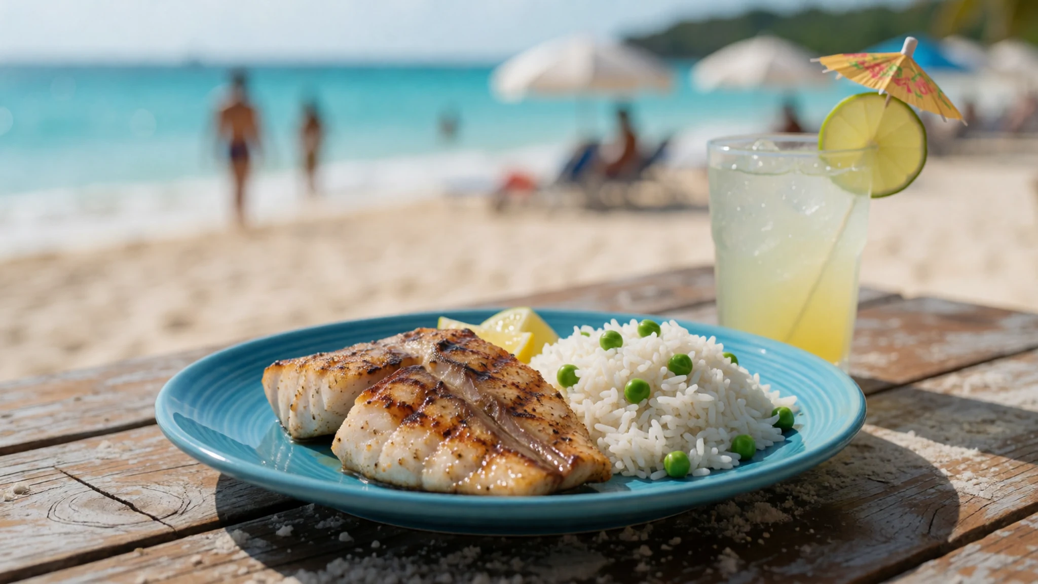
- Italian-style options near North Frigate Bay — North Frigate Bay
North Frigate Bay has western-style restaurants that include Italian-style plates, handy when you want something familiar after tropical hiking. It’s typically the area you’ll head to for non-beach dining.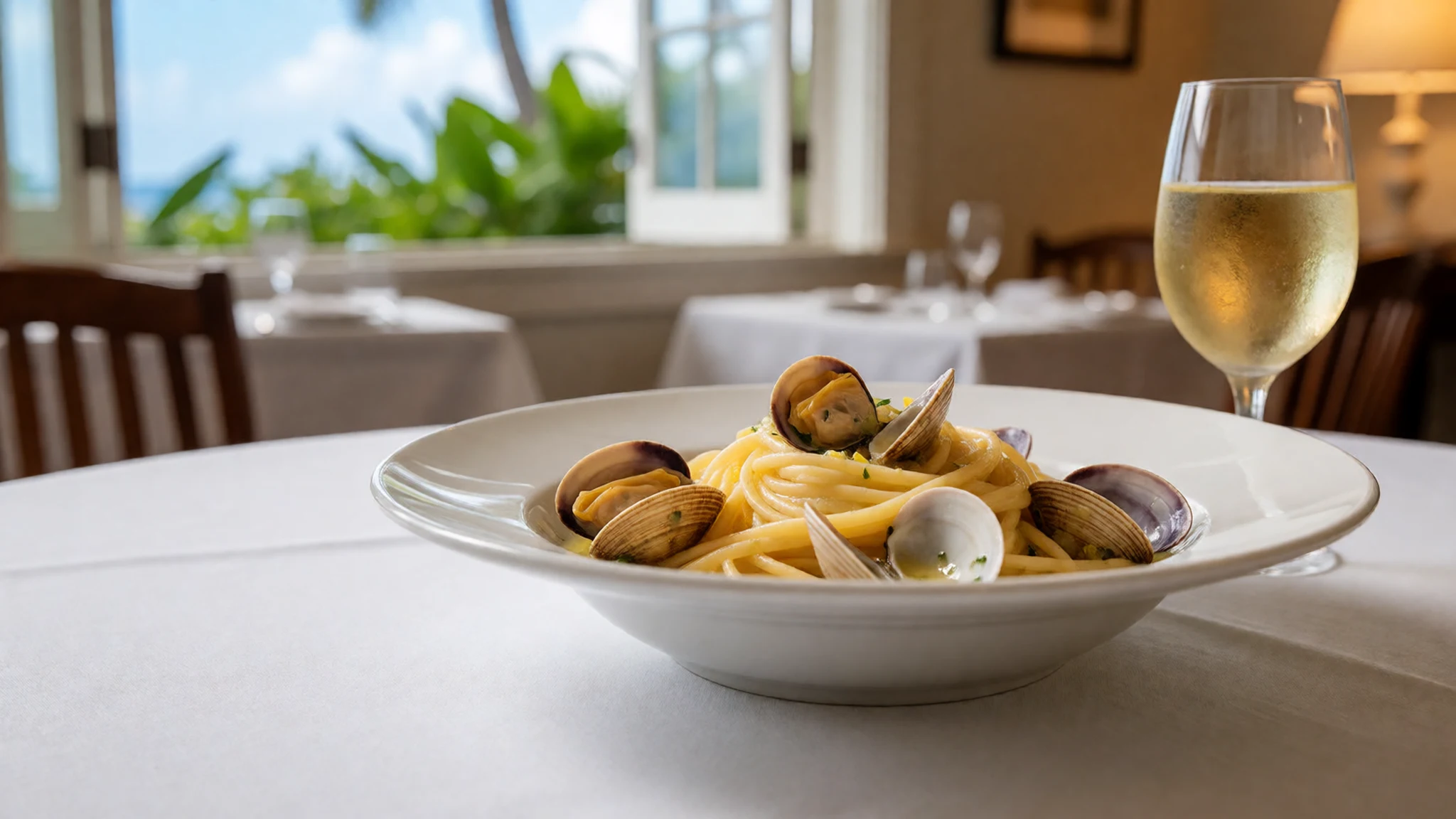
- Seafood bars and casual eateries near Cockleshell — Cockleshell and nearby beach areas
Around Cockleshell and nearby beach areas, seafood-focused casual spots are common. This is a good zone to look for grilled fish or other seafood dishes when you’re staying near the waterfront. - Local drinks from small roadside bars — Towns and around ferry piers
For something easy between sights, look for small roadside bars in towns and near ferry areas. Locally bottled soda and beer show up often, and it’s a low-effort way to taste everyday island refreshment.
Plan it
Best time. December–April for the most comfortable temperatures; December–February are also the driest months, while September–October are typically the wettest.
How long. 2–3
Getting there. Fly into Robert L Bradshaw International (SKB). From there, take local transport to the Mt Liamuiga trail area; the last part is by road to the trailhead before you begin walking.
Budget. mid
Tips
- Start early so the trail is cooler and you avoid the busiest afternoon rush
- If you’re not confident with trail finding, consider a guided approach—marking on some routes can be limited
- Carry water and take it slow through the rainforest; effort builds quickly in humidity
- Be ready for mist and sudden cloud-forest conditions higher up
- Keep cash for small purchases around towns and markets
Etiquette
- Follow the trail boundaries and don’t cut through farm edges
- Go easy with noise and photography near local homes and working farmland
- Stay patient if you meet slower hikers on narrow sections
Nearby
Sources
- Wikidata Q1269774 (CC0)
- Wikipedia (rev 1384391441) — Mount Liamuiga (CC BY-SA 4.0)
- Wikivoyage (rev 5300897) — Saint Kitts (CC BY-SA 4.0)
- photos/01-iss022-e-39042-view-of-the-lesser-antilles.jpg (Public domain)
- photos/02-mt-liamuiga-st-kitts.jpg (CC BY-SA 4.0)

