Mount Karthala (Karthala Volcano)
Mount Karthala (Karthala Volcano), Comoros
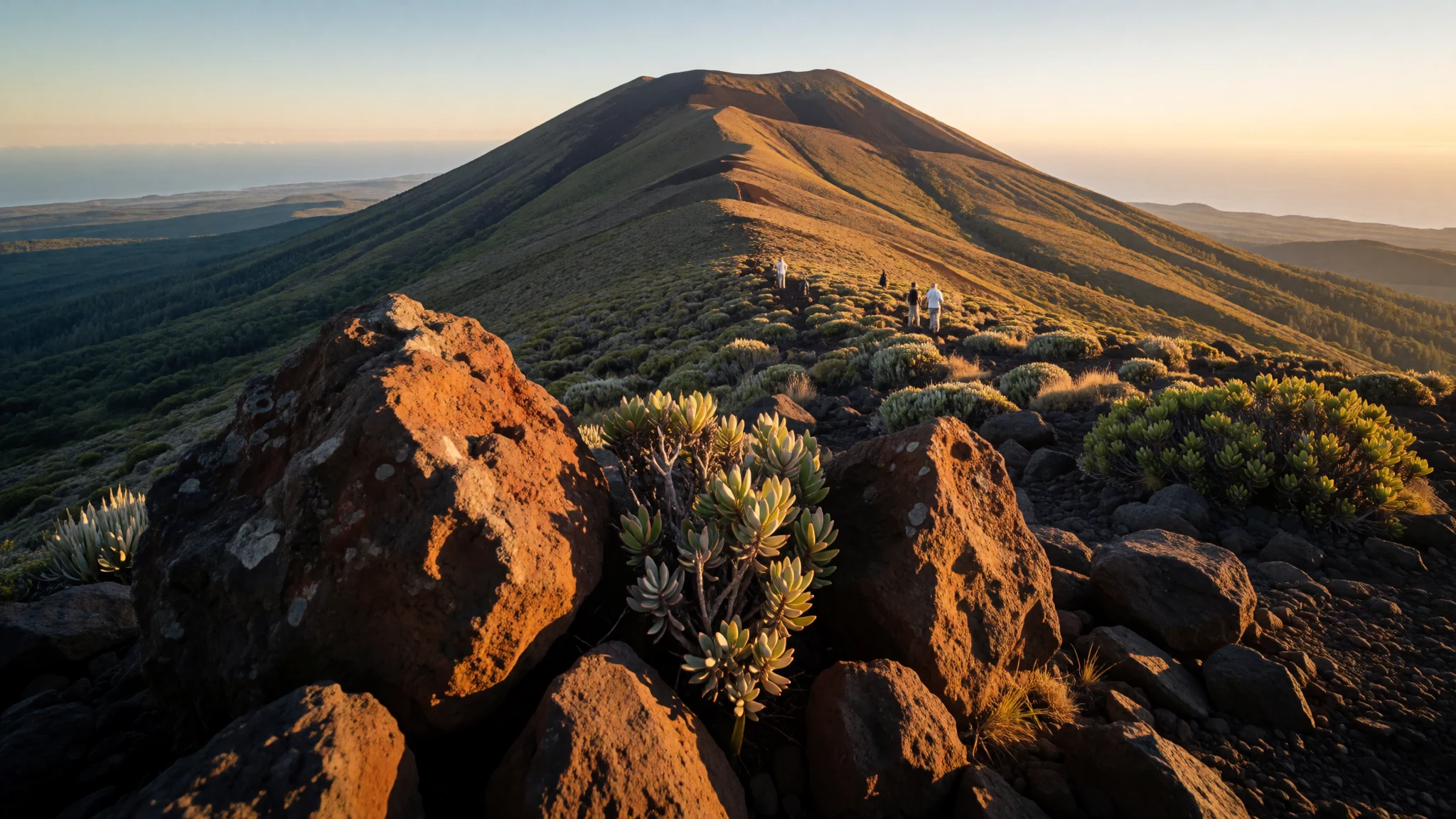
Mount Karthala pairs big volcanic scenery with a tough trek through forest-to-bush landscapes up to a smoking crater.
The place
Mount Karthala (Karthala Volcano), on Grande Comore in the Comoros, is the island’s high, active centrepiece. It’s a shield volcano and the country’s highest point, rising to 2,361 m. The summit forms a wide caldera—commonly described as about 3 km by 4 km—that has been reshaped again and again by eruptions over recent centuries. Frequent activity has carved the crater’s character, while Grande Comore as a whole has largely avoided widespread destruction.
What makes Karthala feel different from a standard mountain is the combination of scale and immediacy. The climb starts in greener, wetter terrain, then gradually changes: tree cover thins, plants become smaller and less dense, and patches show the after-effects of past activity where vegetation struggles to return. The crater approach turns grey and gritty, with warmer air and small signs of the volcano “breathing” as steam-like vents and warmth build near the summit.
Because the volcano is considered very active, the experience is not just about views; it’s about being there while the landscape is still alive. Planning matters—routes and timing are usually handled with a guide—and the comfort of the journey depends on heat, cloud, and how your day-to-day pace matches the steep ascent and later descent. Done well, it’s an intense two-day commitment with a strong payoff: being close to the summit caldera itself.
Its story
Mount Karthala turns a morning walk into a full-on volcanic day. The trek is usually timed to start early: one suggested schedule begins at 06:00 at Mvouni, where the guide meets the group. From there, the hike climbs up a hill for the next 6–7 hours of steady walking.
As the route gains height, the scenery changes in a way that feels almost like crossing different climates on the same day. The lower slopes are described as tropical, green and humid, with a sense of jungle depth. Higher up, the trees become thinner, smaller, and less dense, and some areas show burn scars where vegetation has been replaced by more profitable growth. Near the top of the ascent, the landscape becomes quieter: bushes dominate, and there’s a feeling of being close to a different, harsher world.
Then the crater becomes the focus. The hike continues down towards it across grey sand, with warmth building as cracks in rock release a stream of hot air. The crater itself is huge, and the final stages feel like stepping into the volcano’s interior.
After reaching the summit area, the day continues with another descent—often around 2 hours—to a basecamp. The settlement described there sits about 800 m above sea level and is made up of a handful of small, tin-plated sheds. Next day, the return hike is shorter but still demanding, with 2–3 hours down back to the starting point, sometimes finishing by late morning.
What to see
- Karthala caldera at the summit — Summit caldera zone
Mount Karthala’s summit caldera dominates the end of the trek. From higher ground the crater reads as a vast bowl, giving a clear sense of where the mountain has erupted and reshaped itself.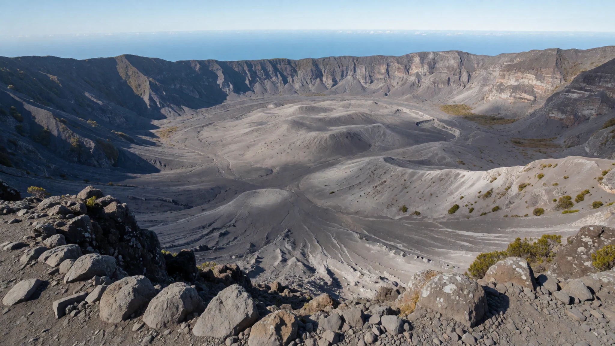
- Warm air and steam-like vents — Crater approach
As the crater nears, warmth increases and vents can release steam-like flow from cracks in the rock. It’s subtle but unmistakable, turning the last walk into a sensory experience.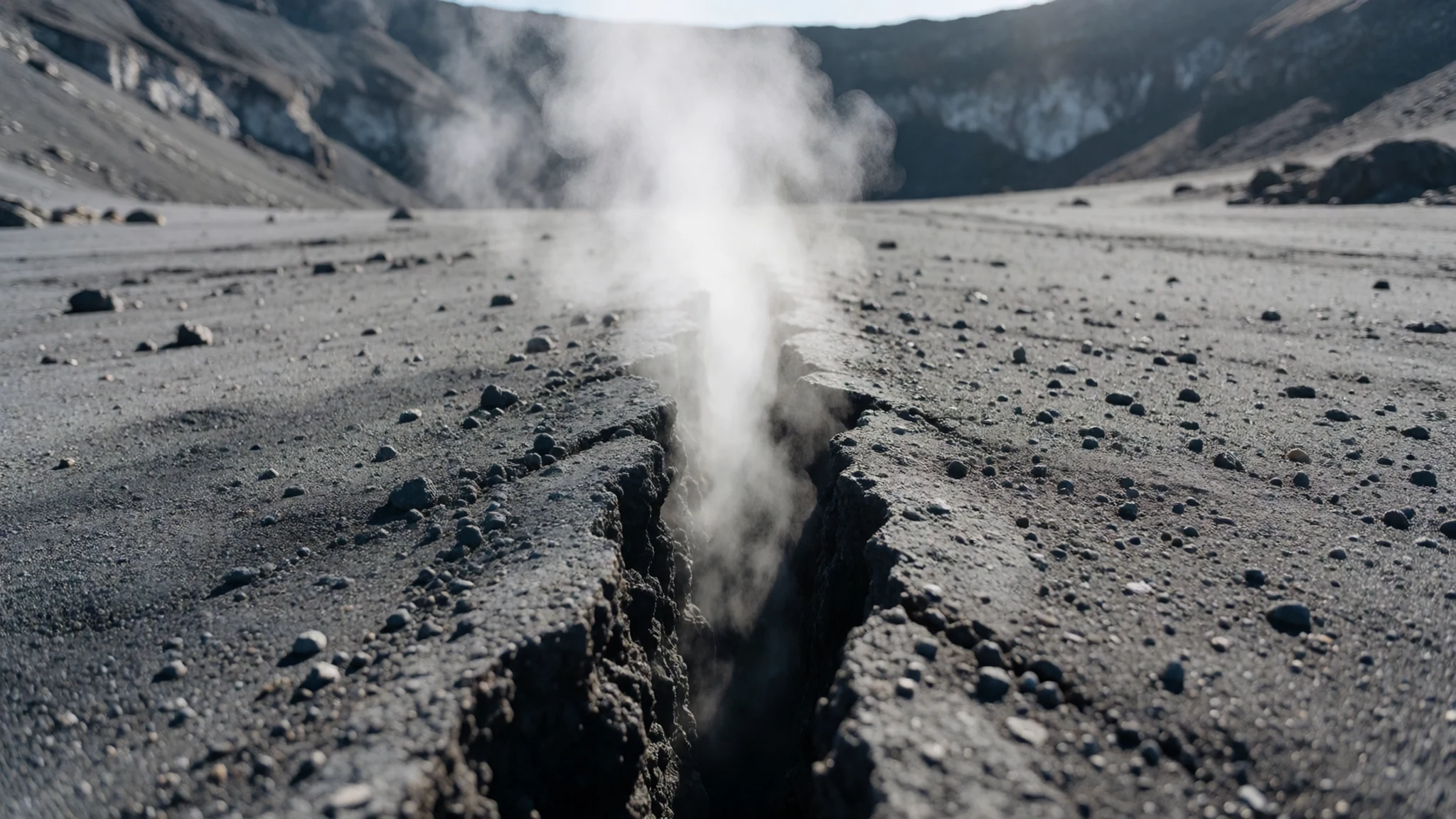
- Jungle-to-bush transition on the climb — Mid-slope trail
Mount Karthala’s trail shifts character as altitude rises: greener, humid jungle gives way to thinner trees, then smaller plants and bushy ground. The change is gradual, then suddenly obvious.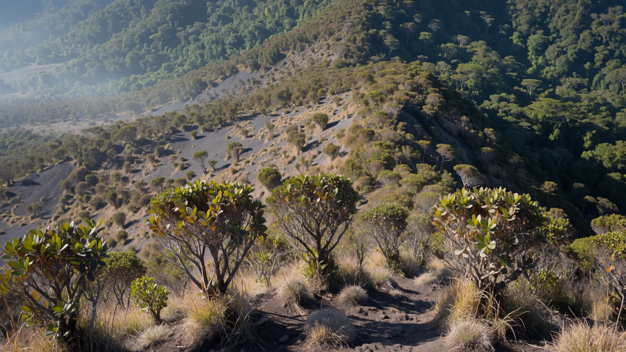
- Burned slopes and regrowing areas — Lower-to-mid slopes
Some parts of the mountain show past damage, with burned ground followed by patches of regrowth. It helps explain how eruptions and recovery shape the mountain’s current look and feel.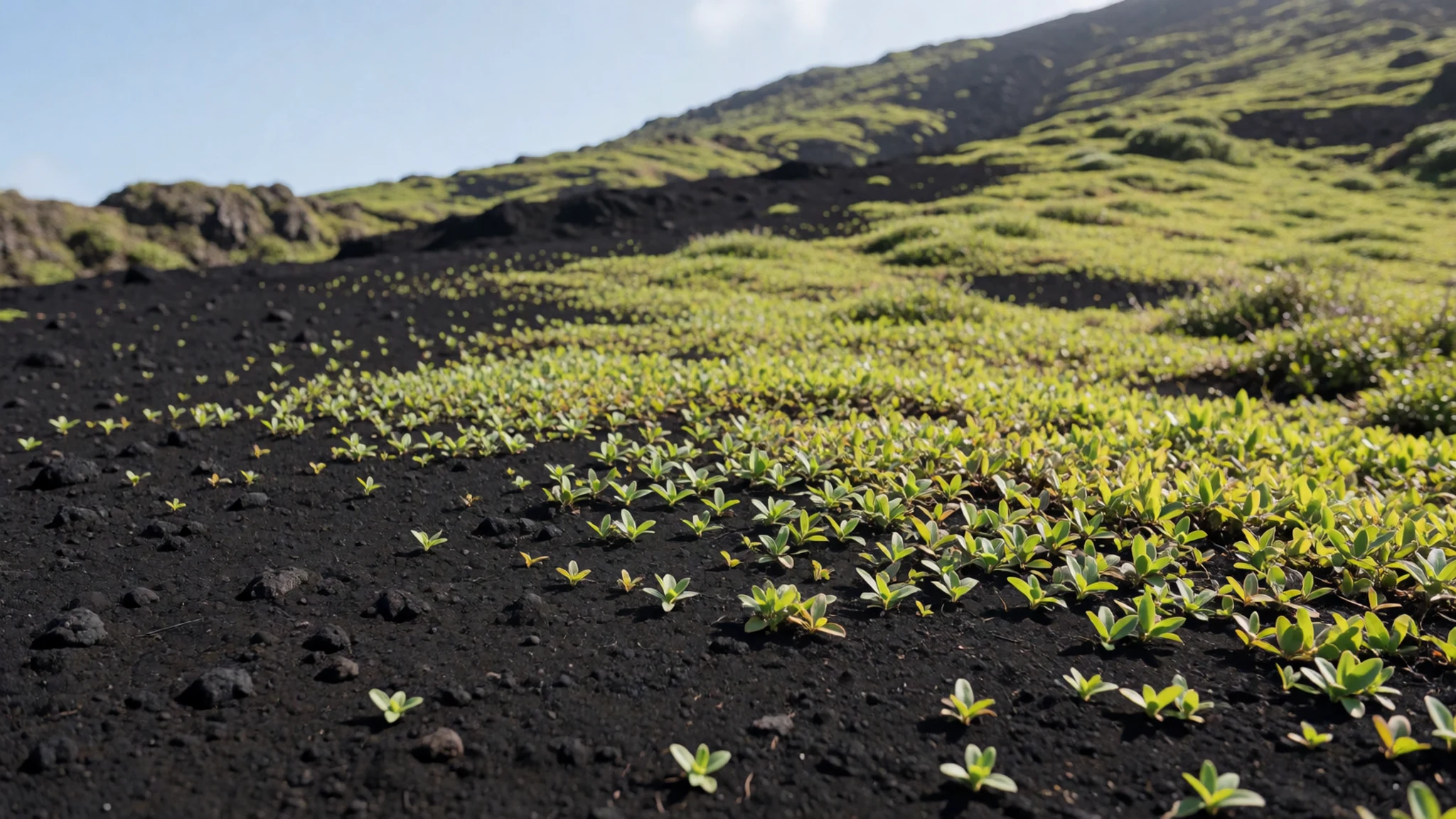
- Overlooking the crater from above — Upper trail and viewing points
From the upper route, it’s possible to step back and look down into the crater’s interior. The viewpoint connects the hike’s hard ascent to the landscape’s raw volcanic structure.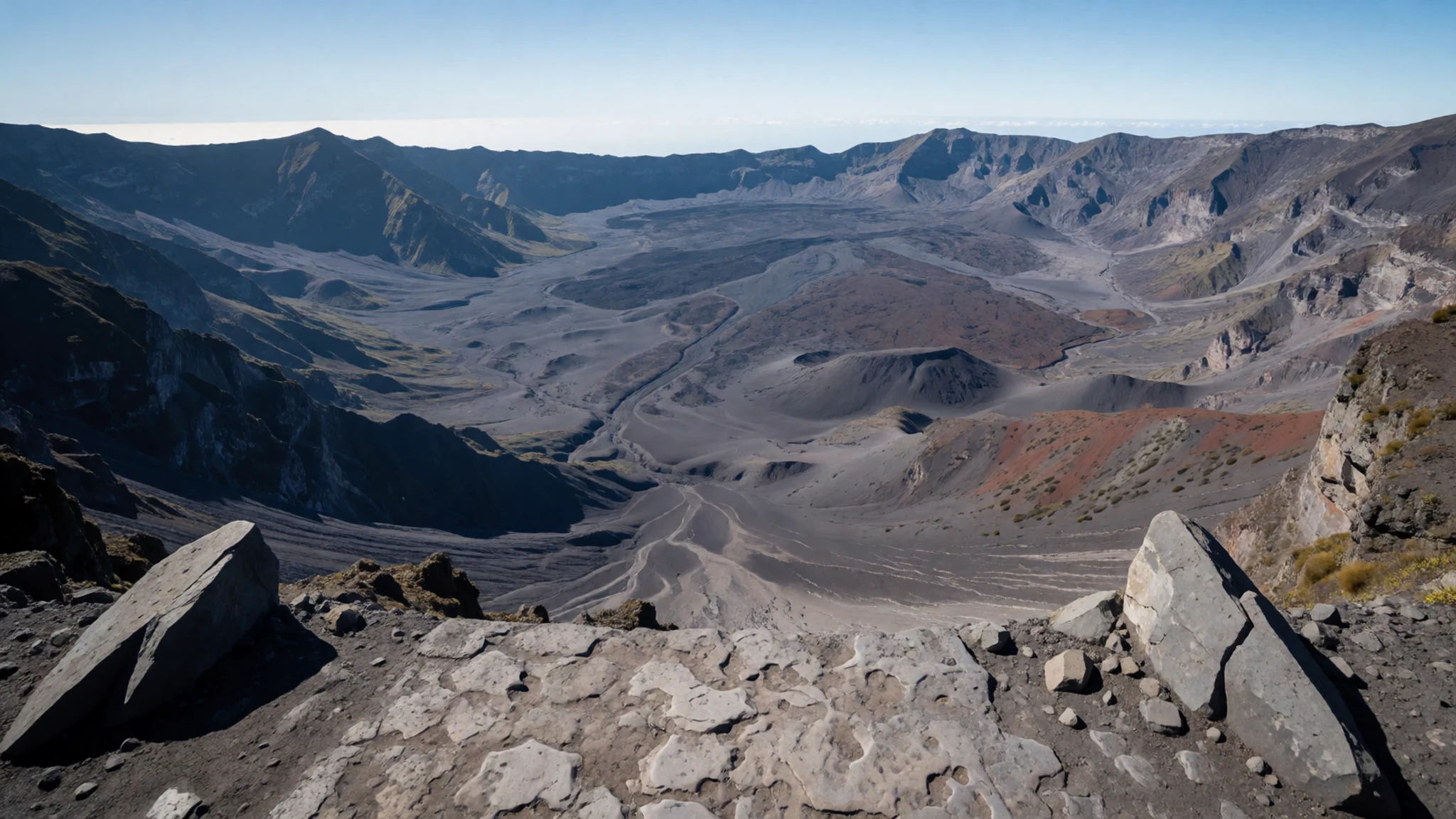
Culture
Mount Karthala’s culture is mostly a practical one: the mountain is worked through local guidance, and the day is built around meeting the guide and following a set route. The trek description points to a simple, small basecamp settlement around 800 m above sea level, with a handful of tin-plated sheds. That kind of setting shapes how people eat, rest, and keep warm—basic logistics matter more than comfort.
For visitors, the key cultural element is respect for the fact that the volcano is very active. Even without dramatic scenes, the climb happens in a landscape shaped by eruptions, so following the guide’s instructions is part of safe trekking and also a sign of acknowledging local expertise.
There’s also a quiet expectation of self-reliance during the hike itself: the route can run long, water sources are not available, and supplies often need to be handled beforehand. Dinner at camp may be prepared by the guide, and the day’s rhythm—early start, long walk, crater focus, descent to basecamp—feels like it belongs to the mountain rather than to tourist schedules.
Visitor etiquette: follow your guide’s lead and keep noise low near camp and crater areas, as the setting is close to active volcanic ground.
What to wear
Mount Karthala doesn’t have a single “uniform”, but it does have weather and terrain that dictate what to wear. The trek moves from tropical, green and humid jungle up into thinner, drier bush zones, and the crater approach becomes warmer with grey, sandy ground. Strong sun and sweat are likely on exposed stretches.
Traditional dress in the Comoros isn’t the focus on a volcano trek; instead, most visitors blend in with everyday, practical clothing. People on the island commonly wear breathable shirts and long garments suited to warm conditions, but on the mountain the priority is movement and protection rather than style.
What a visitor should wear: moisture-wicking tops, lightweight long trousers, and a layer for the cooler moments during early starts. Closed shoes with grip are essential for steep climbs and grey sand near the crater; sandals are risky. A hat helps in the humid-to-drier transition zones, and a light rain layer can be useful if clouds or mist build. Because water sources are described as not available, bring what’s needed in a comfortable daypack—then keep hands free for balance near cracked rock and vent-heated areas.
What to eat
- Camp-cooked dinner (fire and pots) — Basecamp settlement (tin-plated sheds area)
With Mount Karthala, food can be very simple and based around fire and pots at a small settlement area. The guide might prepare dinner for those staying near the basecamp.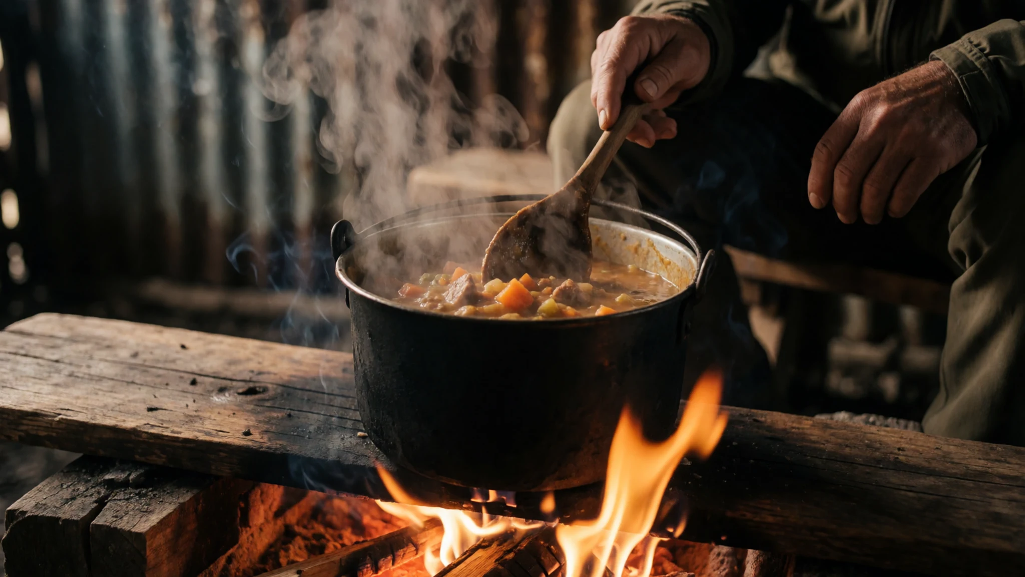
- Trail snack and warm drink break — On-route during the ascent
During the day hike on Mount Karthala, a short pause for hot drinks and snacks can make the long ascent more manageable. It’s a good time to top up energy before pushing on towards the crater.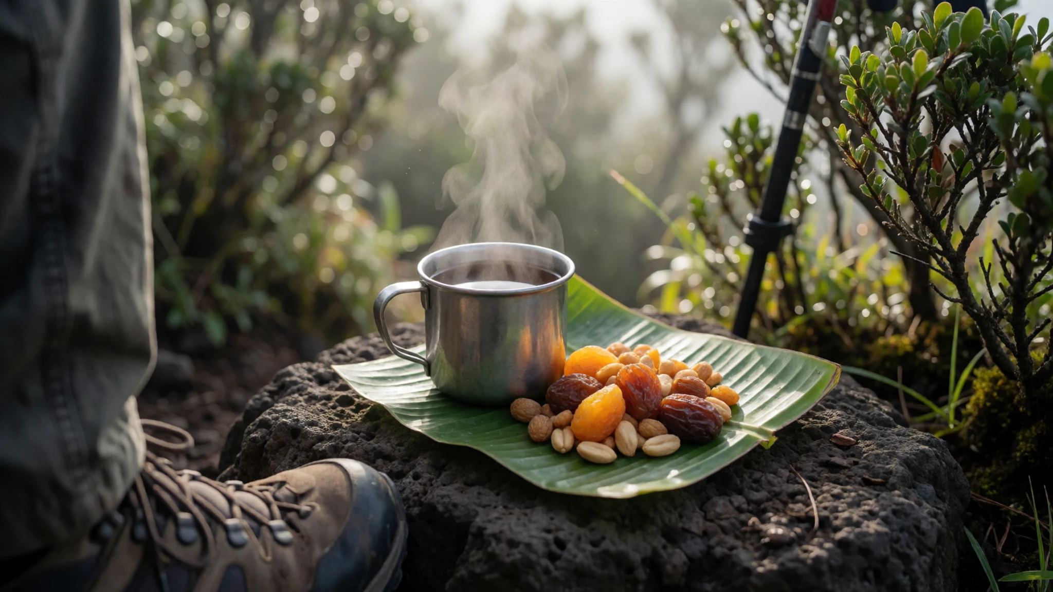
- Simple provisions from the start point — Starting point near Mvouni
Because water sources are described as not available, day-hike food and drinks often need to be brought from the starting area. Pack compact snacks that are easy to eat while walking and re-seal quickly after each break. - Evening meal arrangement through the guide — Basecamp (around 800 m)
Food arrangements on Mount Karthala tend to be informal and guide-led. If staying overnight around the basecamp, the guide’s plan may include a shared dinner prepared for the group.
Plan it
Best time. May to June and September to November are the most comfortable for hiking, with cooler temperatures (about 28.0°C highs in June and 27.4°C highs in September) and lower rainfall (around 38 mm in June, about 19 mm in September, and 37–41 mm in October–November); the hottest months are January–April (around 29.6–30.0°C highs) and December (about 29.8°C), while the wettest period is January–April (about 156–226 mm of rain per month) with the heaviest rain in January (226 mm).
How long. 2–3
Getting there. Fly into Comoros (often via Moroni), then hire transport on the last leg to Grande Comore’s starting point area (commonly Mvouni) where the guide meets before the hike.
Budget. mid
Tips
- Arrange the trek with a guide in advance, since the day starts early at Mvouni
- Start hydrated and treat water availability seriously; water sources are described as not available
- Wear grippy footwear for grey sand near the crater and for the steep descent back to basecamp
- Plan on a slow, steady ascent tempo to manage the long walking time and later crater focus
Etiquette
- Stick to the guide’s route and instructions, especially near vents and cracked rock
- Keep belongings secure and don’t leave rubbish around basecamp or crater edges
- Be quiet and respectful when others are resting at the small settlement
Nearby
Sources
- Wikidata Q527548 (CC0)
- Wikipedia (rev 1369572787) — Mount Karthala (CC BY-SA 4.0)
- Wikivoyage (rev 4788559) — Mount Karthala (CC BY-SA 4.0)
- Photo photos/01-karthala-volcano-comoros.jpg (CC BY-SA 2.0)
- Photo photos/02-mount-karthala-11000398163.jpg (CC BY 2.5)
- Photo photos/03-karthala-modis-20051125.jpg (Public domain)
- Photo photos/04-hiking-to-karthala-crater.jpg (CC BY-SA 4.0)
- Photo photos/05-lava-flows-of-mount-karthala-volcano-in-grande-comore.jpg (CC BY 3.0)
- Photo photos/06-mount-karthala-banner.jpg (CC BY-SA 4.0)
- Photo photos/07-overviewing-to-karthala-crater-from-top.jpg (CC BY-SA 4.0)
- Photo photos/08-overviewing-to-karthala-crater.jpg (CC BY-SA 4.0)


