Monfragüe National Park
Monfragüe National Park, Spain
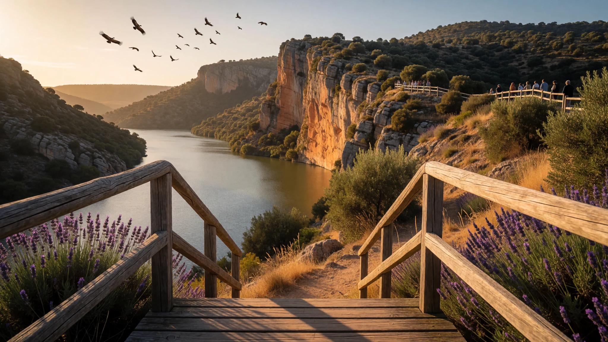
Monfragüe is for quiet cliff walks and serious birdwatching in Extremadura’s Tagus valley.
The place
Monfragüe National Park sits in Extremadura, western Spain, where the Tagus (Tajo) cuts through a mountainous ridge, carving a long rocky face in front of the river. The park stretches between the cities of Plasencia, Trujillo and Cáceres, and the main landscapes shift from scrub and oak woodland to cliffs, rocky outcrops and valley habitat around the rivers and their tributaries.
A lot of Monfragüe’s identity is about birds and the space they need. The park is a Special Protection Area for birds, and is known for breeding raptors, including griffon vultures, cinereous vultures and Spanish imperial eagles, as well as black storks. The same terrain that supports those birds also holds other wildlife, from deer and wild boar to Iberian lynx that have been reintroduced to the region.
The geology is visible even when you’re just driving: you get sudden viewpoints over bends in the river and sheer rock, with the outline of Monfragüe’s castle perched on the eastern side of the valley near the rock formation locals talk about as “falcon rock”. From the visitor hub area at Villarreal de San Carlos, trails and routes lead toward lookouts, castle views and picnic spots where you can slow down and watch the valley do its thing.
Expect big skies, long distances between other visitors, and a day that’s as much about patience as it is about reaching points on a map—especially in the warmer months.
Its story
Monfragüe National Park’s name traces back to Latin Monsfragorum, meaning “lush mountain”, and the landscape feels built for stories: caves, cliffs, river bends and a ridge that turns the valley into a natural theatre. Long before the modern park existed, people were drawing and living in these hills, with prehistoric cave paintings in the area, including the Cueva del Castillo on the south face of the Sierra de las Corchuelas.
Monfragüe also sits within the historic web of routes and fortifications in western Iberia. Remains of pre-Roman presence turn up around the region, and Roman-era roads and structures link the area to wider travel and trade patterns connected with the Ruta de la Plata. Even the ridge-and-valley geography mattered for movement and security: watchtowers appear in places like Cerro Gimio, using height for sightlines.
The castle of Monfragüe reflects the layering of control over the hill. Over centuries it was built, fought over and restored after military orders captured it for the Crown. Bridges and communications followed too, with medieval infrastructure designed to make connections between nearby towns more reliable.
Today, the “history” still shows up when you walk: castle edges and viewpoints keep the sense of defensible terrain, while the park’s protections help preserve the same cliffs and woodland the earlier generations depended on.
What to see
- Salto del Gitano — viewpoints along the park’s driving routes
Salto del Gitano gives that Monfragüe feeling of height and sudden rock. It’s a viewpoint that looks down toward the river valley, so it’s a good stop when the light is crisp and birds start crossing the cliffs.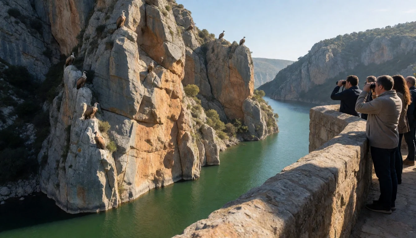
- Castillo de Monfragüe — eastern ridge above the Tagus
Castillo de Monfragüe anchors the eastern side of the valley near the rocky outcrops. Even if the buildings aren’t the main draw, the views explain why this site was useful as a watch point and why it still feels strategic from the ground.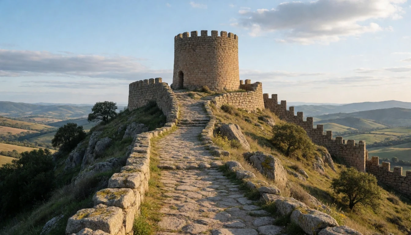
- Flying above the cliffs (raptor spotting) — clifftop viewpoints across the park
Monfragüe is famously raptor-heavy, so plan time for slow scanning rather than checklist rushing. Look for griffon and cinereous vultures and other birds riding thermals over the rock faces; timing often improves around calmer mornings.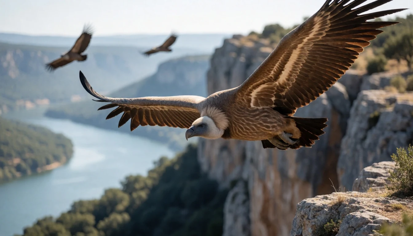
- Panorámica desde el castillo — castle viewpoints over the Tagus
From the castle area you get a broader sense of the Tagus valley cutting through the ridge. That wide view helps connect the dots between the river bends, the rock face and the trailheads that otherwise look like simple turn-offs from the road.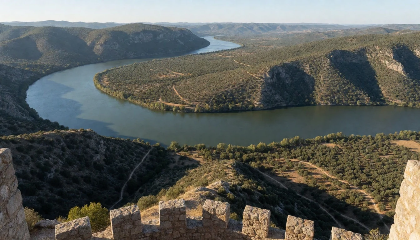
- Animal habitat exhibition — Villarreal de San Carlos area
The Animal habitat exhibition focuses on ecosystems and wildlife, with a recreation-style approach that can be handy when weather turns or when travelling with mixed ages. It’s a good “warm up” before heading outside to look for the real thing.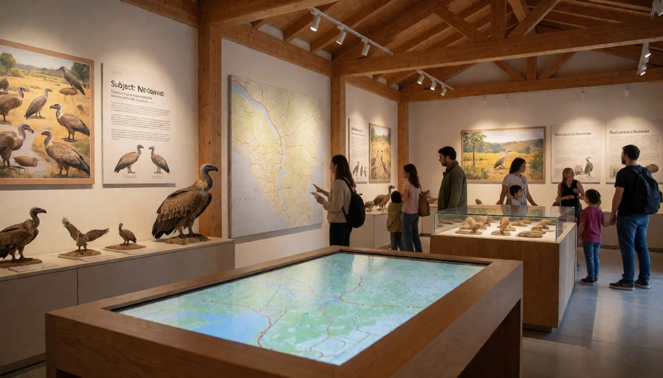
- Berrea season atmosphere — woodland edges in the park
In Monfragüe, the soundtrack changes during deer rutting (“berrea”). If your timing aligns, the calls add a layer beyond the visuals—part of why dawn and late evening can be memorable even without a checklist full of sightings.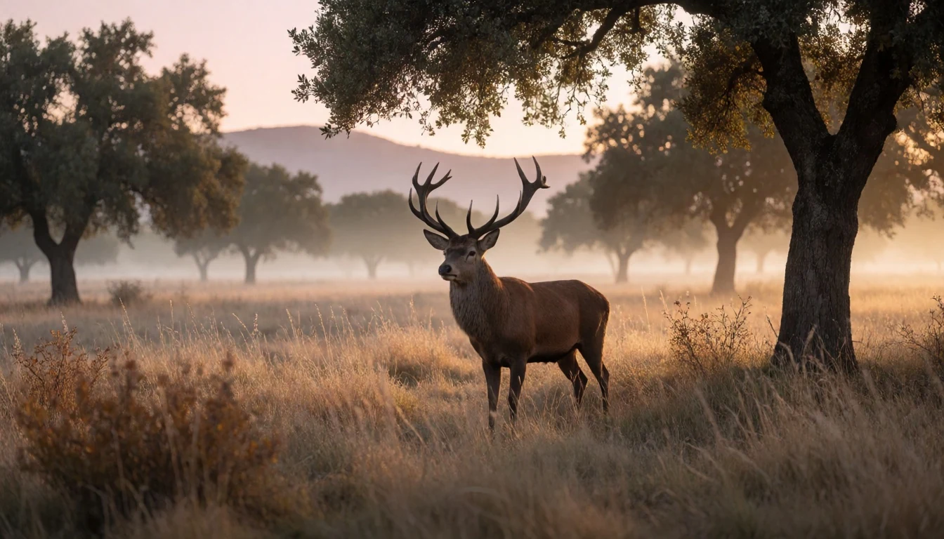
Culture
Monfragüe National Park is protected landscape rather than a “museum park”, so the culture here is about how visitors behave in a living habitat. The park supports breeding raptors and other wildlife, and the easiest way to respect that is to keep your movement predictable and your noise low. Park viewpoints are often right by roads, which means traffic can be near your stops; pulling in carefully and not lingering in the lane matters.
Trail life is also practical. Ground can be uneven and rocky around lookouts, so sensible footwear helps; rushing for photos can turn a scenic walk into a risk. When you’re observing birds, remember that a vehicle or viewpoint can become a bottleneck, and blocking a pull-in is a sure way to make everyone’s day worse.
Monfragüe’s human history—caves with prehistoric paintings and older routes and fortifications—adds another layer: stick to established areas and don’t treat stone sites like climbing gyms.
Visitor etiquette: keep voices down, stay on marked paths, and give wildlife space—especially near viewpoints and roadside stops.
What to wear
In and around Monfragüe National Park, dressing is mostly about comfort and respect for the outdoors and any heritage sites you pass. Traditional dress isn’t really a feature of everyday life for visitors here, but the region’s practical Spanish style is a good guide: light breathable layers for warm days, and something warmer for evenings when the air cools.
What people actually wear now tends to be simple—t-shirts or light shirts, comfortable trousers, trainers or hiking shoes, and a sun hat or cap. On the trails you’ll want grip on rocky or dusty ground, and it’s worth bringing a small rain layer because conditions can shift.
For a visitor, the key “don’t get caught out” kit is: a hat, sunglasses, a refillable water bottle, and closed-toe footwear with traction. If visiting viewpoints at sunrise or sunset, add a warm layer. For heritage areas connected to the castle or older routes, modest, covered shoulders and legs feel more respectful than beachwear, even if there’s no formal dress code.
In short: dress for heat during the day, cooler shade in valleys, and uneven ground around rock viewpoints.
What to eat
- Picnic set-ups around the park — La Tajadilla Picnic area / Fuente del francés Picnic area / Puente del Cardenal Picnic area / Huerto del Ojaranzo Picnic area
Picnic areas are a common way to eat in Monfragüe. Try a simple spread at a designated spot so you can stay in the shade near river views and keep the day flexible for wildlife watching.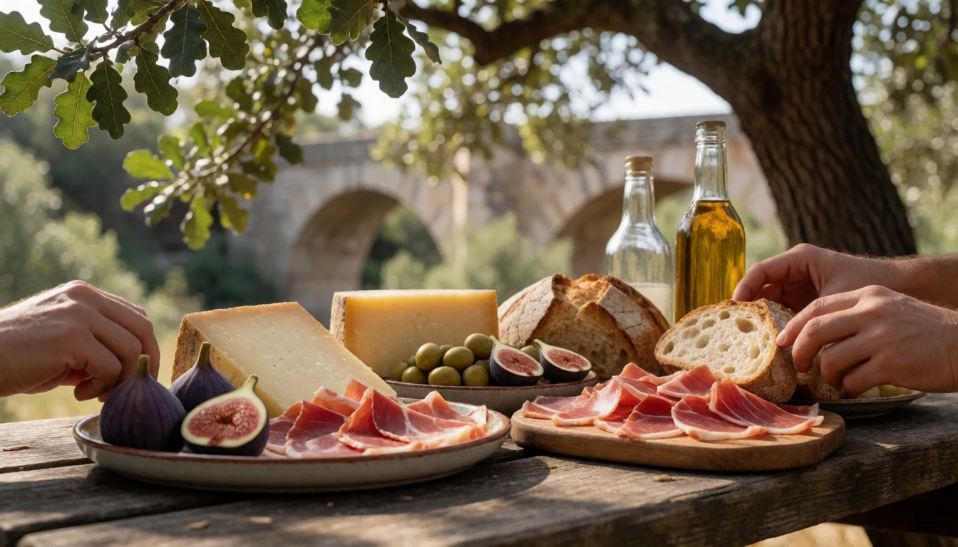
- Spring-season meals — Villarreal de San Carlos and surrounding towns
Monfragüe is often visited in shoulder seasons, and local spring-feel lunches tend to focus on fresh, seasonal ingredients. Look for simple set menus at eateries in the Villarreal de San Carlos area and nearby villages.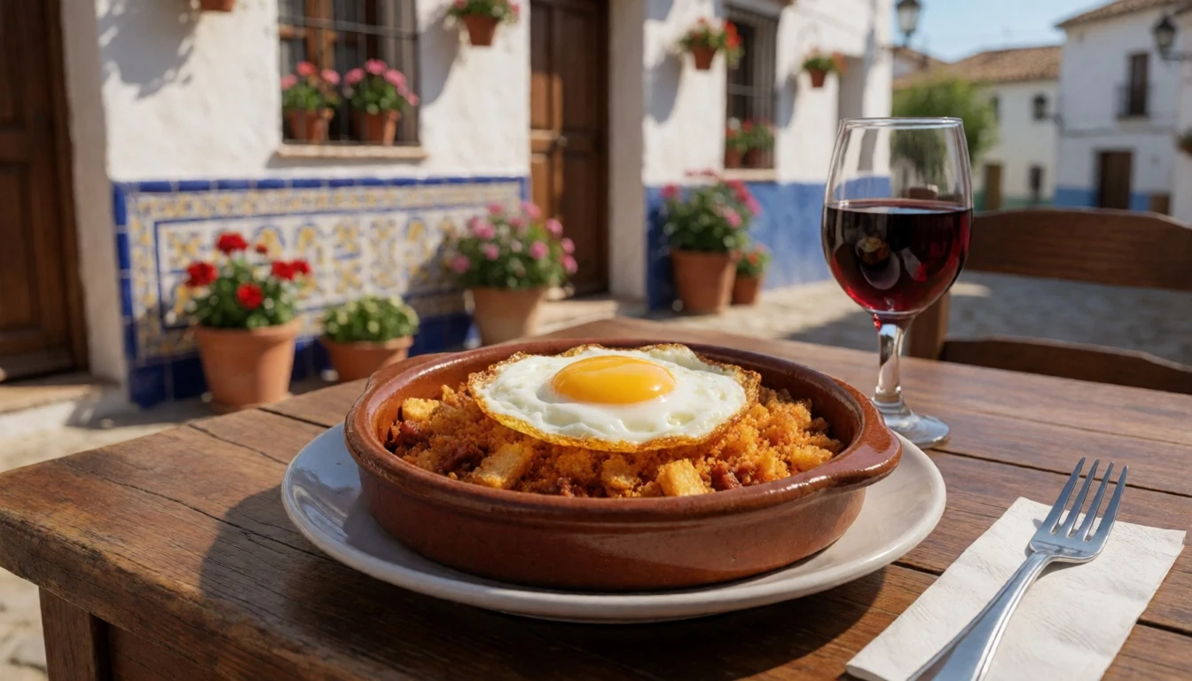
- Local restaurant lunches in the visitor hub — Villarreal de San Carlos
When you want something warmer than a picnic, restaurants clustered around the main visitor area are the easiest bet. It’s a practical choice after a long walk, especially if the light changes quickly. - Monfragüe area eateries with countryside portions — around the park’s core access points
Smaller restaurant listings around Monfragüe often serve straightforward Spanish countryside dishes that suit hikers: hearty plates, easy-to-share starters, and filling mains that don’t feel fussy after a day outdoors. - Viewpoint-friendly snack stops — lookout pull-ins and designated picnic viewpoints
Some areas are set up as rest points near scenic views, so you can do a light lunch and still keep time for raptor spotting. It’s less about ‘speciality cuisine’ and more about eating without losing the view.
Plan it
Best time. March–April and October–November work well for Monfragüe because the days are typically more comfortable for walking than peak summer. June is the rainy season, and August can be hot and humid, so expect a slower pace and more time in the shade.
How long. 3–4
Getting there. Fly into Madrid and then drive southwest towards Cáceres province, aiming for the Villarreal de San Carlos area, which is the main visitor hub for trails and viewpoints.
Budget. mid
Tips
- Use Villarreal de San Carlos as the base and plan routes from there to cut back on backtracking.
- Start viewpoint time early in the day for calmer conditions for both walking and bird spotting.
- Keep an eye on park roads and be cautious around wildlife; pull off into designated viewpoints rather than stopping mid-road.
- Bring water and sun protection in warmer months, and a light layer for cooler morning air.
Etiquette
- Avoid getting too close to wild animals; observe from viewpoints or where it’s designed to park.
- Keep noise down on trails and near pull-ins so wildlife and other visitors aren’t disturbed.
- Park carefully near viewpoints, because some lookouts sit along public roads.
Nearby
Sources
- Wikidata Q1968939 (CC0)
- Wikipedia (Monfragüe) (CC BY-SA 4.0)
- Wikivoyage (Monfragüe National Park) (CC BY-SA 4.0)
- Photo: Salto del Gitano, Parque Nacional de Monfragüe (CC BY 3.0)
- Photo: Vista del rio Tajo y parte del castillo de Monfragüe (Public domain)
- Photo: Flying Gyps fulvus (CC BY 3.0)
- Photo: Panorámica desde el castillo de Monfragüe (Public domain)
- Photo: Parcu di Monfragüe n Estremadura (Spagna) (Public domain)
- Photo: Berrea-2 (CC BY 2.5)


