Mercantour National Park
Mercantour National Park, France
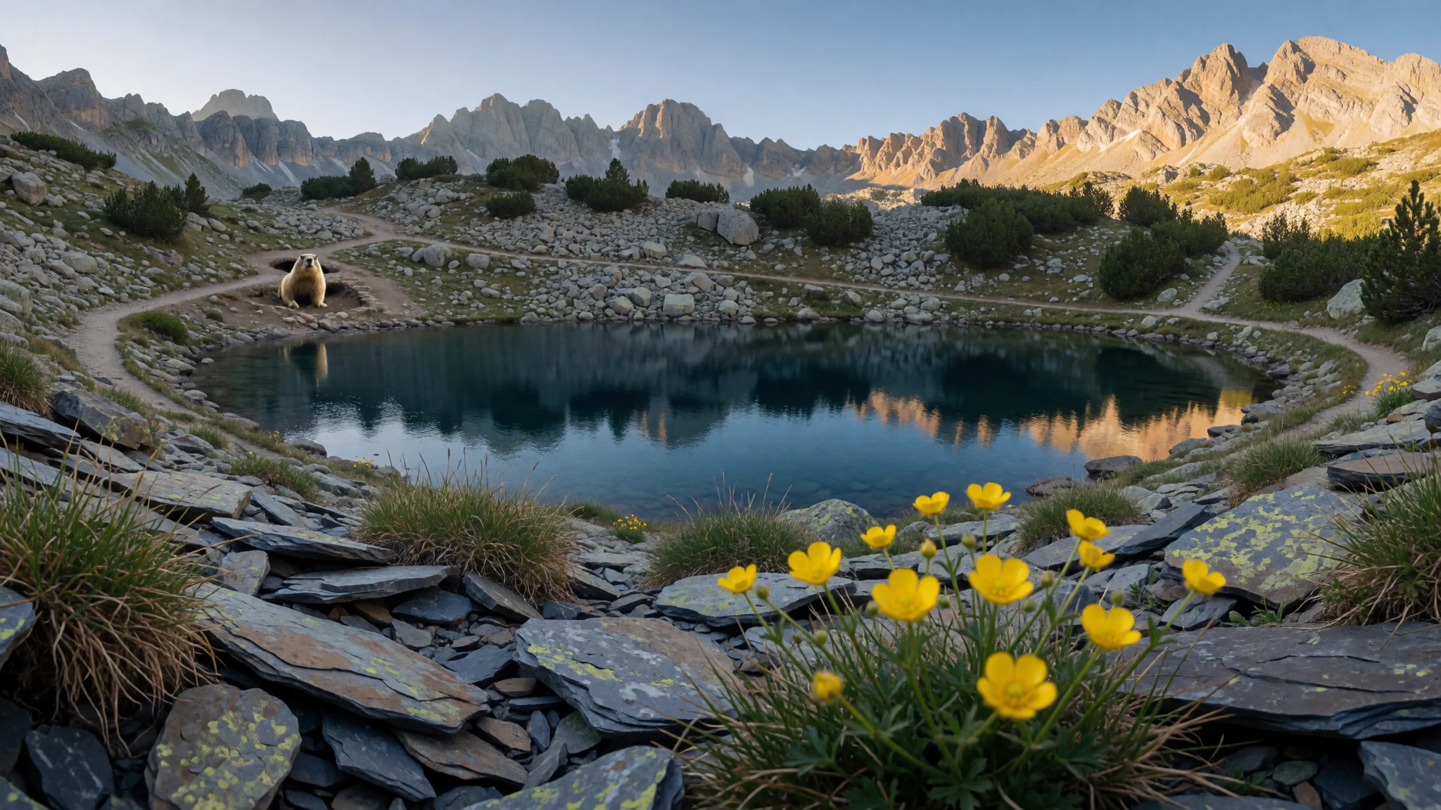
Mercantour National Park is a foothill-to-high-alps playground of marked trails, quiet villages, and rock engravings close to the Mediterranean.
The place
Mercantour National Park (Parc national du Mercantour) sits along the French Alps, in the Alpes-Maritimes and Alpes-de-Haute-Provence departments. It’s a park of valleys and massifs rather than a single viewpoint: the landscape changes as quickly as the weather, from sheltered lower slopes to exposed high ground.
The geology explains the look. The park’s central core is associated with crystalline rocks, with surrounding areas showing more sedimentary structures, and water has carved deep valleys over time. Glaciers once shaped parts of the mountains, leaving behind a rugged relief that still feels “engineered by nature”: basins, steep-sided gullies and lingering rocky textures.
What visitors actually do here is hiking—often on well-marked paths—and then base themselves in villages around the edges of the park. From there, days can be short walks to lakes and viewpoints, or longer days on connected routes that cut through the massif.
The atmosphere is close to what many people want from “proper mountains”: there’s real altitude effort, proper cold mornings and afternoon cloud in shoulder seasons, and a sense of space when the trail network spreads out. Expect it to be popular at the easy-to-reach trailheads during peak warm months, but quieter once walking gets you away from parking areas and main entrances.
The official starting point for planning is the park’s website, since access details vary by valley and season.
Its story
Mercantour National Park was created in 1979, and since then it’s become a magnet for people who want alpine walking without crossing borders. The region’s character comes from the way the park nestles against the Mediterranean side of the Alps: you can feel the “mountain” in the air, then still spot that coastal influence in vegetation and the way afternoons can flip from calm to breezy.
One day inside the park can feel like a sequence: a path climbs through scrub and shade, then opens into rockier terrain where visibility improves and the sound changes—less bird-song, more wind. In clear weather, the ridgelines and valleys line up like layers of scenery; in unsettled weather, the same routes become about judgement, not heroics.
A good Mercantour rhythm is to mix a cultural stop with the outdoors. The park’s prehistoric story isn’t confined to museums: rock engravings at Vallée des Merveilles give a different kind of “reading” to the landscape, where geology and human markings share the same mountain surfaces. After that, it’s easier to understand why people come back for multiple days—because the park rewards repeating the same valleys at different times of day.
Practical realism matters here: the mountains set the tempo. Some areas are easiest to reach from the Côte d’Azur road system, and others need longer approaches on foot. With the right footwear and a plan for changing weather, Mercantour feels less like “a park you visit” and more like “a place you move through.”
What to see
- Musée des Merveilles — near Bégo Mountain / Mercantour access area
Musée des Merveilles gives context for Mercantour’s prehistoric heritage. The exhibits focus on stone age and other artefacts, including real and reproduced petroglyphs linked to the nearby Bégo Mountain area, so the later outdoor engravings make more sense.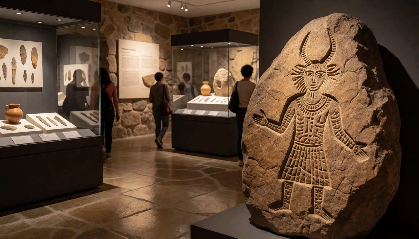
- Vallée des Merveilles — Vallée des Merveilles (Mercantour engravings area)
Vallée des Merveilles is where visitors go to see rock engravings carved into the landscape. The recommended approach is to plan the circuit as a multi-day loop, since the walk and the refuge-based overnight option shape the experience, including booking needs.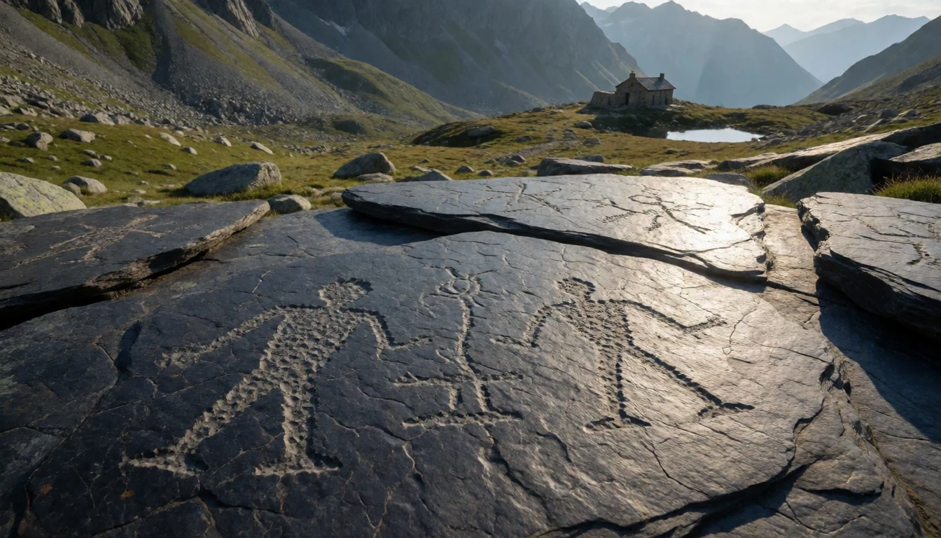
- Le Lac Nègre — trail access near Lac Nègre (Mercantour interior)
Le Lac Nègre is a hike that starts through undergrowth before opening out to wider views and cooler streams. It’s a good pick for people who want “mountain walking” that still feels varied, with a clear sense of transition from shade to exposure.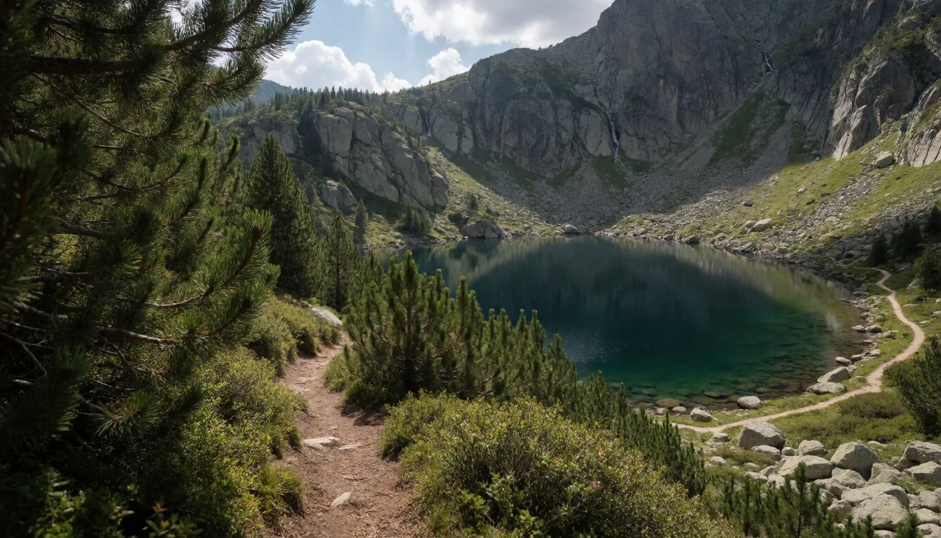
- Mont Mounier hike — Mercantour massif (Mont Mounier area)
The Randonnée du Mont Mounier is a classic alpine outing with a substantial elevation change and a longer distance feel. It suits travellers who enjoy sustained climbing and steadier pacing, and it’s best approached as an all-day commitment rather than a quick half-day wander.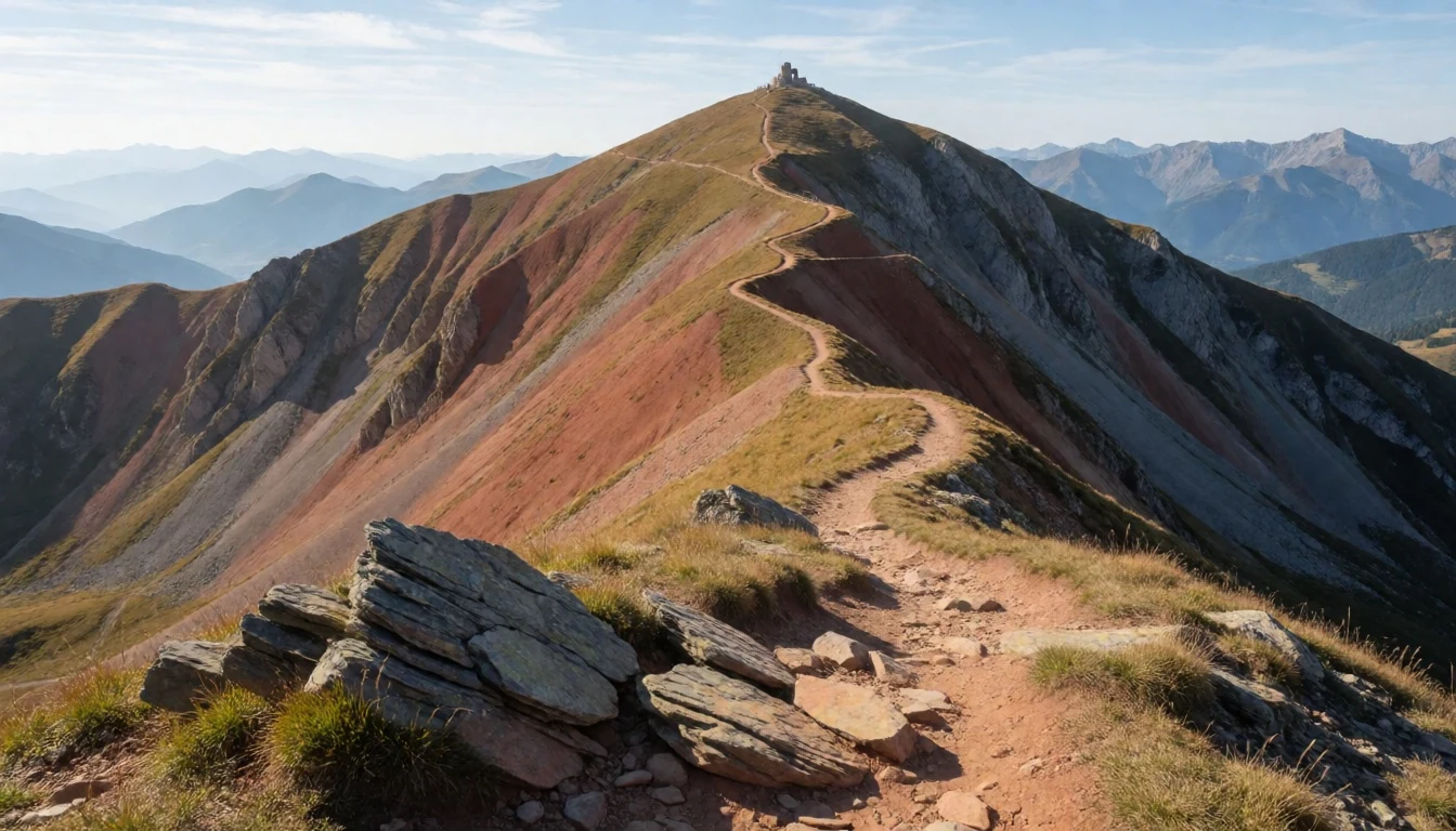
- GR 5 and GR 52 long-distance trails — across multiple valleys in Mercantour
For longer stays, Mercantour’s GR 5 and GR 52 long-distance trails cross the park end-to-end. They’re an honest way to experience the variety of valleys and terrain, but they’re not “one day” projects—these routes are designed for multi-day travel.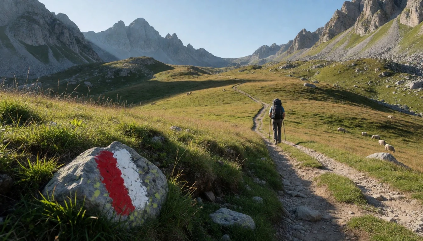
Culture
Mercantour National Park’s culture is part outdoors, part heritage, and both can be surprisingly sensitive to behaviour. In the prehistoric areas, rock engravings aren’t a “photo spot” so much as a fragile record in stone: the best approach is to stay on the intended routes, avoid touching surfaces, and keep groups moving so the same sections aren’t repeatedly handled by confused foot traffic.
Villages on the park’s edges tend to be the quiet heart of access. Markets and village eateries are where conversations start—often in plain, practical terms about which paths are safe and what the weather is doing above the valley.
Nighttime experiences also matter: where there are guided or managed refuge options, reservations and respect for the hut rhythm are part of how the system works.
Overall, the park rewards patience and preparation more than spontaneity, especially when cloud builds over high terrain. Visitor etiquette: stay on marked paths around engravings and never touch the rocks.
What to wear
In Mercantour National Park, clothing is about altitude, wind and fast weather shifts. Traditional dress isn’t a “daily uniform” in the way you might see in some historic towns, but the region’s mountain culture is rooted in practicality: sturdy fabrics, warmth layers and protection from rain are more relevant than ceremony.
What people actually wear now is simple and functional. In hiking areas, you’ll see trail shoes or proper hiking boots, long trousers, and breathable tops layered with a warm mid-layer and a waterproof shell. In settled village streets, the look shifts to casual daywear, but still with footwear that can handle gravel and wet rock.
For visitors, pack for cool mornings and variable afternoons. A waterproof jacket and a warm layer are worth treating as non-negotiables, even in warmer months. Sunglasses help when the light hits bare slopes, and gloves can be useful higher up or if mornings start early. If planning to join refuge-based days, comfortable socks and a dry layer for evenings matter more than “fashion choices.”
What to eat
- Pizza d'Aqui — near the park (within about 10 kilometres proximity)
Pizza d'Aqui is one of the options close to the park approach roads, useful when a hike ends late and cooking plans collapse. It’s a convenient “reset” meal before heading back into village accommodation.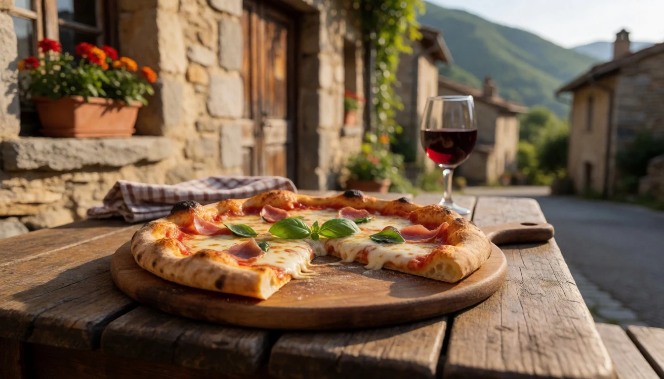
- Le Collet Factory — near the park (within about 10 kilometres proximity)
Le Collet Factory is another eatery in the wider access zone, handy for travellers who want something straightforward after time on the trails. It suits a quick stop before moving on to another valley or a late afternoon drive.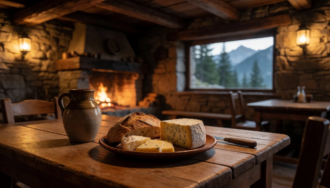
- Bring-and-go alpine picnic — on marked trails and picnic areas within the park
Because the park is largely alpine wilderness, day hikes often rely on snacks and proper picnic food carried in from outside. A packed lunch also keeps momentum on longer routes where opportunities to buy food inside the park may be limited. - Village restaurant meals — in villages on the outskirts of the park
The villages around the park edges are where restaurant meals become part of the trip rhythm. It’s a good way to refuel without overpacking for the mountains, especially after multi-day walking where dining becomes a planned comfort. - Market snacks and bakery stops — local markets and shops near the park entrances
A practical strategy for Mercantour is to top up supplies in village shops and markets before heading back up the valleys. Bakery items and simple snacks make reliable trail food when weather and route changes don’t leave room for improvising.
Plan it
Best time. March–April for spring walking before the busiest heat settles in, and July or August for the driest weather, though August can be hot and humid; late October–November is the wettest stretch of the year.
How long. 3–4
Getting there. Fly into Nice or nearby, then use road access into the Côte d’Azur valleys to reach the park area; final access depends on which valley trailhead is chosen.
Budget. mid
Tips
- Start hikes early to avoid the mid-morning crowding around popular trailheads.
- Pick routes based on elevation gain rather than just distance, since mountain time is shaped by climbs.
- Carry a topographic map (such as IGN Top 25) for navigation and contingency when weather changes.
- Book refuge stays in advance when a multi-day route includes overnight accommodation.
- Bring cash for small mountain purchases and use cards where available in villages.
Etiquette
- Wear good hiking shoes and keep to marked routes, especially in sensitive heritage areas.
- Follow refuge rules and reservation requirements; treat shared spaces respectfully.
- Stay quiet in the early morning on trails and at shelters so others can enjoy the mountain setting.
Nearby
Sources
- Wikidata Q1535042 (CC0)
- Wikipedia (rev 1381870850) (CC BY-SA 4.0)
- Wikivoyage (rev 5385145) (CC BY-SA 4.0)
- Photo photos/01-mont-pelat-lake-allos-tour-19.jpg (CC BY-SA 4.0)
- Photo photos/02-baisse-des-cinq-lacs-mercantour.jpg (CC BY-SA 4.0)
- Photo photos/03-vallon-de-molli-res-2004-07.jpg (CC BY 3.0)
- Photo photos/04-marmot-peeking-out-of-the-grass-in-the-french-alps.jpg (CC BY-SA 4.0)
- Photo photos/05-152b.jpg (CC BY 3.0)
- Photo photos/06-152c.jpg (CC BY 3.0)
- Photo photos/07-2024-09-24-a-view-from-the-trail-from-breil-sur-roya-to-cime.jpg (CC BY 4.0)
- Photo photos/08-2024-09-24-a-view-from-the-trail-from-breil-sur-roya-to-cime.jpg (CC BY 4.0)


