Masoala National Park
Masoala National Park, Madagascar
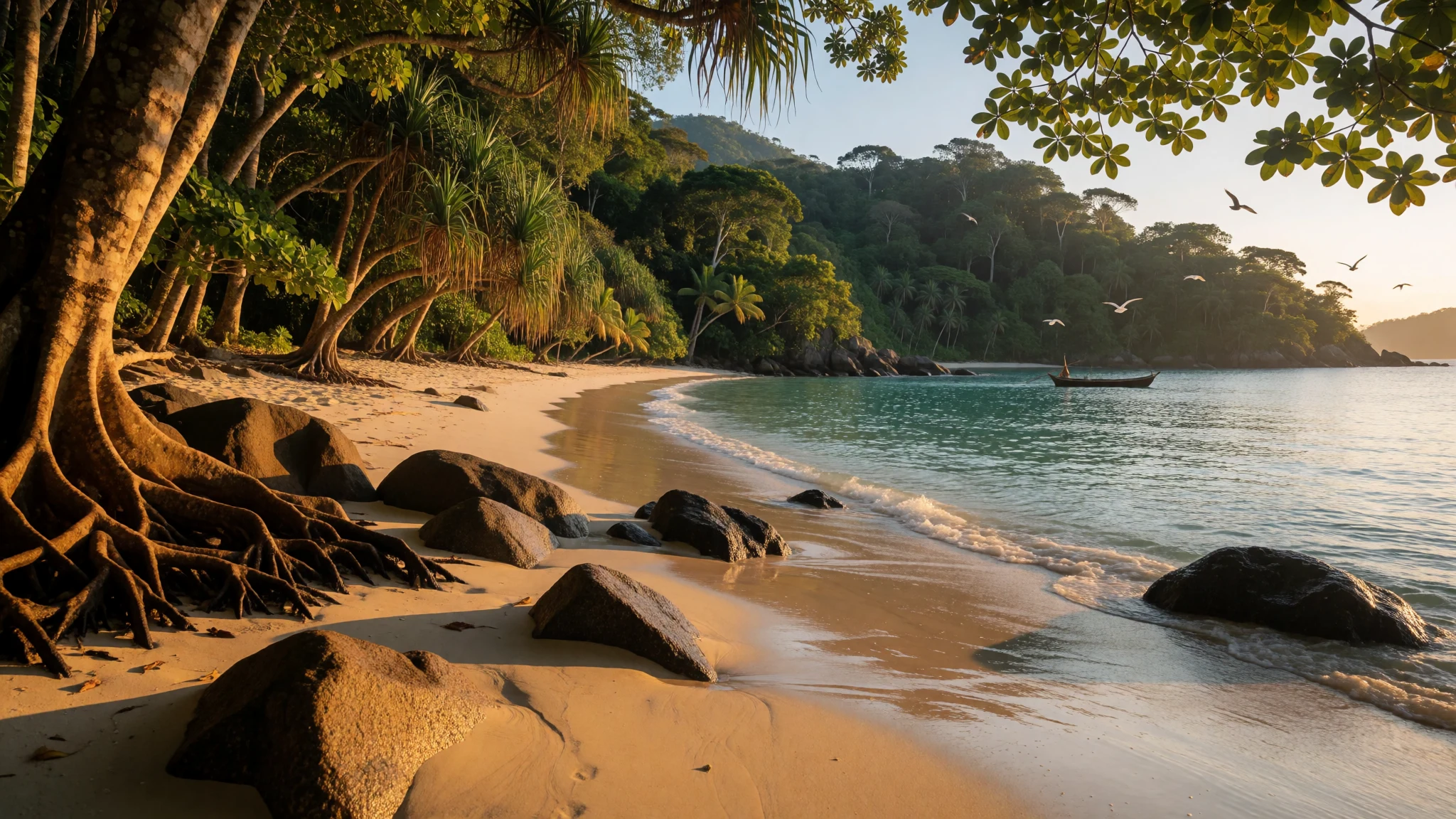
Masoala pairs rainforest trails with coastal and marine life, and the logistics (boat-only access) make the wildlife feel especially close.
The place
Masoala National Park sits in northeast Madagascar and is the island’s biggest protected area, spread across land and sea around the Masoala Peninsula. In practice, that means you’re not just doing “a forest walk”: the park’s habitats range from tropical rainforest and coastal forest to flooded forest, marsh and mangrove, with coral reefs and marine life protected offshore.
The scale is part of the appeal, but it’s the variety that really hits. One day can feel like different ecosystems stacked together—green, humid inland tracks, then a shift towards the coast where mangroves and beach edges shape the light and the air. The marine side is its own world too, with coral reefs and a strong chance of seeing a mix of sea creatures when conditions are right.
Masoala is also unusually wet. Much of the year is humid, and rainfall can be heavy, so trails can turn slick and visibility can change fast. The driest stretch is roughly August to November, while the cyclone season runs January to March, which many trip planners avoid.
Logistically, this is not a “pop over for lunch” place. Most access involves a boat journey, so the itinerary is built around sea conditions and the time you spend at the landing points and villages nearby. Lodging and camping choices are shaped by that, often meaning the comfort level is simpler than you might expect, but the payoff is a slower, wilder rhythm.
If you like wildlife, especially the Madagascan endemics and the mix of land and sea encounters, Masoala rewards patience—more rainforest than routine, more ecosystem than single landmark.
Its story
Masoala tends to change your travel pace. Arriving with the right expectations matters: you’re coming to a place that’s shaped by water—wet air in the forest and water again at the edge of the sea.
The park’s land and sea setup helps explain why it feels different from many “big national parks”. Inland, the vegetation types create a patchwork you can feel as you walk: mangrove edges are darker and airier, coastal forest feels open and bright, and the flooded or marshy areas can make the trail feel like it’s been designed by water rather than people. You’re never really “just walking through trees”; the landscape is actively involved.
Then there’s the wildlife mix. The park is known for a high share of Madagascar’s plant and animal species, including lemurs and geckos, and the chance of seeing hawksbill sea turtles. On the ocean side, humpback whales and different dolphins are mentioned as possible sightings. Realistically, not every day delivers a headline animal—weather and timing play a big role—but the park’s variety keeps the chances spread across land and sea.
Historically, Masoala has also seen stress from illegal logging activities in the late 2000s. That adds weight to the “respect the place” part of visiting: this is conservation happening on the ground, not a theme.
The best stories from Masoala are usually small: a moment on a mangrove trail when movement suddenly makes sense; a quiet stretch of coastline where the ocean feels close enough to hear; or an evening when the sky clears for long enough that the forest seems to hold its breath. Bring patience, waterproofs, and an appetite for slow days—because Masoala doesn’t reward rushing.
What to see
- Masoala coast and beach strips — Coastal areas around the peninsula
Masoala’s coastline gives you a quick shift from rainforest humidity to sea air. Walk the sand edges where forest meets the shore, and look for how the mangroves begin inland. It’s a good “reset” point between boat time and land time.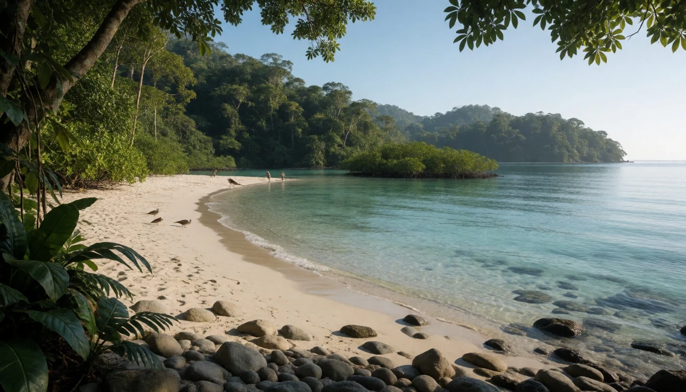
- Rainforest trails (multi-habitat walking) — Inland forest zones
The park protects tropical rainforest and several other habitat types, so trails can move you through different greens and light levels. Expect thick vegetation, moisture on everything, and plenty of listening for wildlife rather than fast spotting.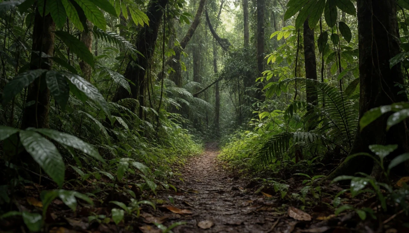
- Mangrove edges — Where forest meets tidal areas
Mangroves change how sound travels and how the ground feels underfoot. They’re especially good for understanding the park’s “land and sea together” theme—roots, shaded water edges, and birds or small reptiles moving through the cover.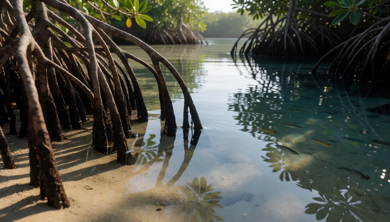
- Back-and-forth marine viewing opportunities — Offshore marine protected zones
Masoala’s marine parks protect coral reefs, and that’s where ocean sightings make sense. If sea conditions cooperate, keep your time flexible for short swims or boat-based viewing rather than expecting a single fixed “tour moment”.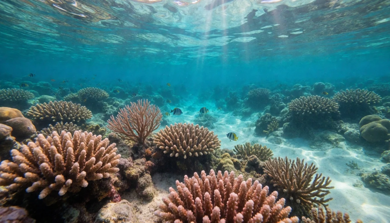
- Tampolo orchid moments (if your route aligns) — Tampolo area
Masoala is known for diverse plants, and orchid sightings can be part of a good day. In photos from Tampolo, you can see the park’s vivid flowering presence—small details are often easier than chasing big animals.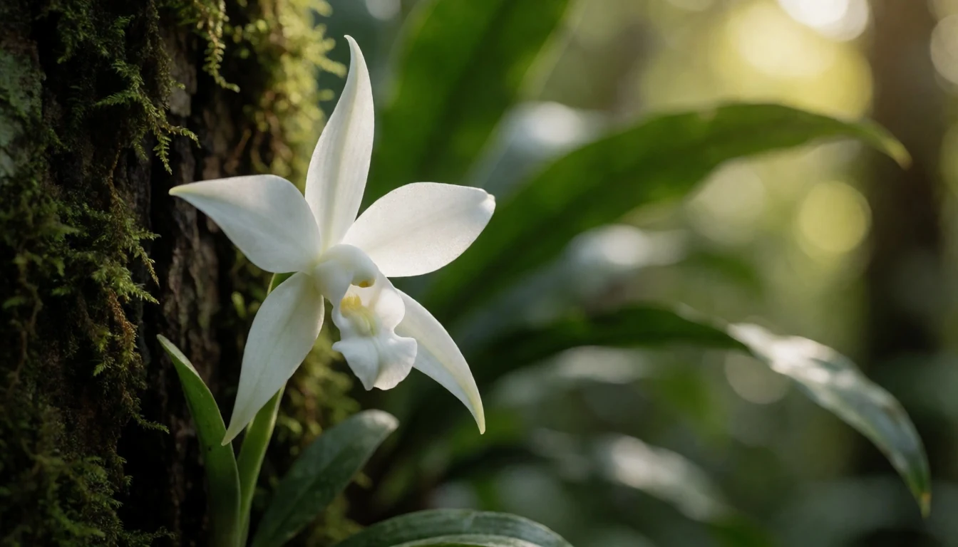
Culture
Masoala’s “culture” is mostly about how people live around the protected area—especially in coastal villages that connect day-to-day life to the sea and the boat schedule. You’ll often meet community-run lodge, guiding, and basic services that help make visits possible, from organising landing points to translating local trail knowledge into a route you can actually follow.
Because the park is both land and sea, interactions tend to be practical rather than performative: asking before you step into fishing or household areas, waiting while people finish tasks, and keeping an eye on where you’re allowed to walk. Weather also drives your experience. When rain arrives, it’s normal for plans to slow down; that’s not a “delay”, it’s the local reality of an exceptionally wet region.
In terms of etiquette, the biggest wins are simple: keep voices down in quiet forest pockets, handle gear responsibly around water, and don’t treat village life like scenery. If a guide asks you to pause, it’s often for a wildlife or safety reason, not just to pass time.
Visitor etiquette: ask before photographing people up close, and be mindful of where you step and tie your gear—respect households and guides’ instructions.
What to wear
Masoala’s traditional dress isn’t uniform across Madagascar, but visitors will usually see everyday clothing alongside local textiles in markets and villages rather than formal “park outfits”. What matters for you is less about what you “match” and more about what holds up in heat, humidity and sudden rain.
Now (what people wear day to day): lightweight shirts and trousers, breathable dresses or skirts, and casual sandals or simple footwear are common. In village settings, modesty tends to be appreciated, especially near homes and community spaces.
Traditional textiles: Madagascar is known for patterned cloth and woven fabrics, often used for everyday wrapping and clothing accents. If you see cloth being worn, it’s usually practical and comfortable, not stiff or formal.
For visitors: pack quick-dry layers, a waterproof jacket, and long trousers or long socks for forest trails. Footwear needs to cope with wet ground—closed-toe shoes with grip are safer than flat sandals. For cultural or village areas, bring a light top that covers shoulders and a bottom that isn’t too short.
Finally, the marine side means dry bag habits: keep electronics and spare clothing sealed, and plan on changing when you come back from salt air and spray.
What to eat
- Rice with local sauces — Village eateries near Maroantsetra and Marofinaritra
Rice is a reliable staple around Madagascar, often served with simple sauces made from whatever’s common locally. Find it at small village eateries and community-run spots near the access routes to the park.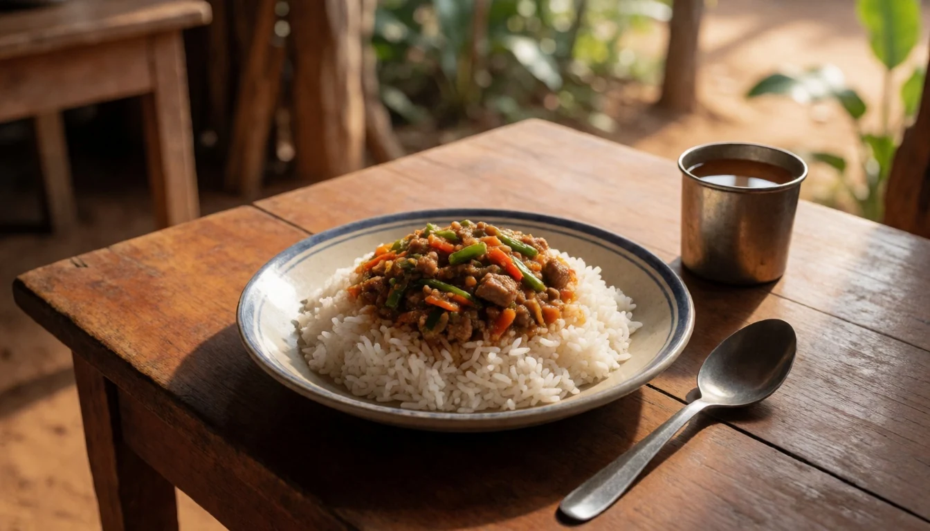
- Grilled or stewed seafood — Coastal village restaurants and roadside stalls
Coastal areas around Masoala make seafood an obvious choice when it’s available. Look for grilled fish or seafood stews at casual eateries, especially on days you’re spending more time near the shore.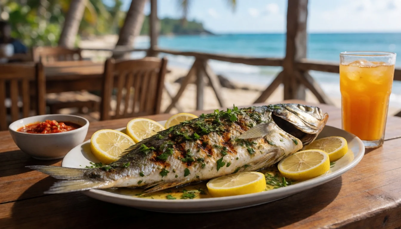
- Fresh fruit and simple snacks — Local markets and village kiosks
Expect to see fruit and small snack items that fit travel days—easy to carry, refreshing after humidity. Ask locally what’s in season, then buy from markets or from vendors near where you’re staying. - Vegetable sides (mixed greens) — Set meals at small eateries
Vegetable sides—often cooked simply—show up with main plates, particularly when meat or fish options vary. They’re a good way to balance the richness of stews and keep meals light on humid days. - Street-style brochettes — Market areas and roadside food stops
Brochettes (skewered bites) are a common, casual food style in Madagascar. You’ll usually find them where people gather, and they’re convenient if you need a quick meal between getting to boats and walks.
Plan it
Best time. August–November for the driest conditions; June–November is often favoured by travellers aiming to avoid the worst wet weather, while January–March is the cyclone season and best avoided.
How long. 3–4
Getting there. Fly into Madagascar’s main connections for the northeast, then plan the final stage by road to the nearest towns used as access points (Maroantsetra and Marofinaritra), and expect the key park access to involve a multi-hour boat journey.
Budget. mid
Tips
- Build your schedule around boat timing and sea conditions; don’t treat the ocean leg as optional.
- Pack a waterproof jacket and a dry bag for phones and camera gear—storms can roll in quickly in an exceptionally wet area.
- Aim for the driest months (roughly August–November) if you want easier walking and more reliable visibility.
- Bring insect repellent and breathable layers; humidity can make even short hikes feel longer.
- Carry small cash for markets and village purchases, and keep change handy.
Etiquette
- Listen to your guide’s instructions for where to walk—forest and tidal areas can be risky.
- If you’re offered community-led activities, be punctual and respectful with questions and photography.
- Dispose of waste properly; keep the forest and coast clean.
Nearby
Sources
- Wikidata Q964116 (CC0)
- Wikipedia (Masoala National Park) (CC BY-SA 4.0)
- Wikivoyage (Masoala National Park) (CC BY-SA 4.0)
- Photo: Masoala park location map (photos/01-masoala-park-madagascar-map.png) (CC BY 3.0)
- Photo: Bord de mer (photos/03-bord-de-mer-masoala.jpg) (CC BY-SA 4.0)
- Photo: Darwin’s Orchid (photos/06-darwin-s-orchid-angraecum-sesquipedale-8562029223.jpg) (CC BY-SA 2.0)


