Manu National Park
Manu National Park, Peru
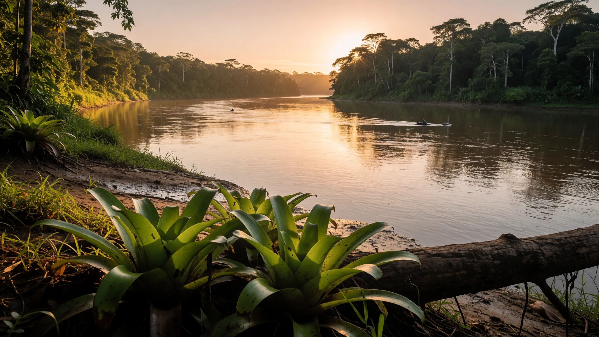
Manu National Park is a big, layered jump from mountains to Amazon rainforest, where wildlife viewing is often easier than you’d expect.
The place
Manu National Park (Parque Nacional del Manu) sits in Peru, straddling the Madre de Dios and Cusco regions. It’s not one single “type” of landscape: the park is built around variety, moving from lowland rainforest to cloud forest and up into Andean grasslands. In practice, that means a single trip can feel like several climates stitched together—humid jungle rhythms one day, misty, cooler heights the next.
Manu is also big in an everyday-travel sense. The park covers mountainous terrain cut by valleys and creeks, plus parts of the Amazon basin plains, so travel inside it tends to be slower and more route-led than “drop in and wander”. The park is divided into zones that shape how people experience it. The core zone is reserved for scientific work, while the reserved zone hosts a small set of authorised safari groups, making it the backbone of most wildlife trips. The cultural zone is home to local residents and offers the most open access for general visitors.
The Manu road, about 190 kilometres, connects the highlands link to the lowlands, including the area near where the Manu River heads out. That matters because the access pattern influences everything—where you can sleep, which habitats you’ll actually see, and how early you can start. If wildlife is the headline, think of Manu less as a single viewpoint and more as an ecosystem you travel through, with weather and altitude doing as much of the “scenery work” as your own eyes.
Its story
Manu’s story begins with protection, and it’s a surprisingly modern one. The park joined Peru’s national parks system in 1973. From there it gained further recognition: it became a UNESCO Biosphere Reserve in 1977, then a UNESCO World Heritage Site in 1987. Those dates aren’t just a timeline on paper—they reflect why the park feels controlled in the best way.
One reason Manu has a reputation for wildlife is that it’s structured to limit pressure. Access is zoned. Researchers have their own core area. Visitors generally rely on regulated routes, especially in the reserved zone where tourism is channelled through a limited number of operators. That matters because the park is vast enough that “everyone doing their own thing” would overwhelm it; instead, the framework keeps parts of the ecosystem functioning as intact habitats.
Another part of the story is how the landscape itself drives the pace. Manu connects the mountains and the Amazon—Andean grasslands and cloud forest on one side, extensive lowland rainforest on the other. With that comes seasonal variability tied closely to elevation and rainfall. The driest stretch runs roughly from May to September, with the coolest temperatures in the higher sections; outside that window, rain is much heavier and the experience is wetter and slower.
In a trip-planning sense, that history translates into practical expectations: you usually don’t “arrive at Manu” like you’d arrive at a city museum. Instead, you join a route—often a multi-day transfer and a lodge or camp base—so the story you experience is partly natural, partly logistical, and partly protective design.
What to see
- River shores and lowland rainforest edges — Lowland river areas (Madre de Dios)
Manu’s river settings are where early light makes the jungle look different hour to hour. Expect slow, water-and-leaf soundscapes and good chances to spot activity along the banks, especially when the day is still cool.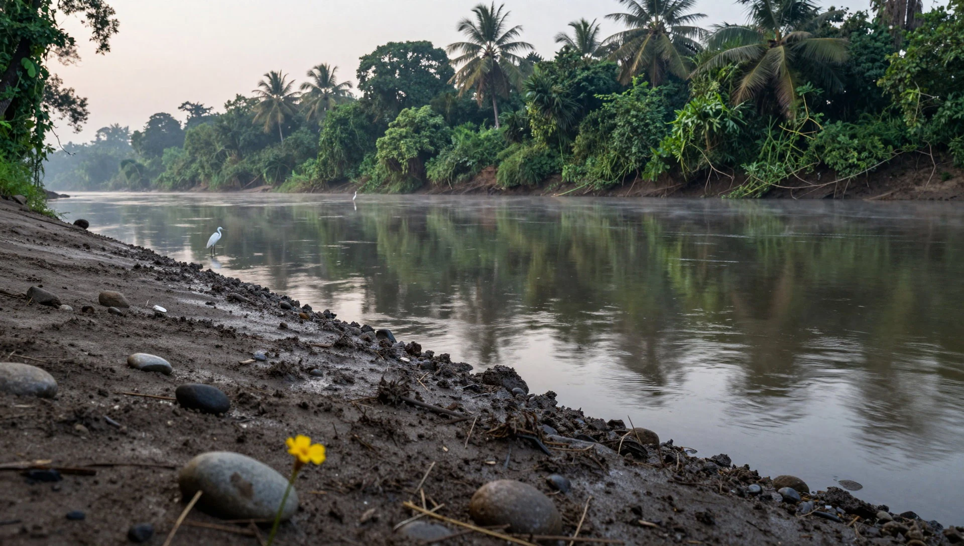
- Río Alto Madre de Dios jungle viewpoints — Río Alto Madre de Dios (Madre de Dios)
Along Río Alto Madre de Dios, the forest feels layered—distant canopy silhouettes, mid-level foliage, and mist where it meets water. It’s the kind of view that makes you realise how much of the park’s drama is vertical, not just wide.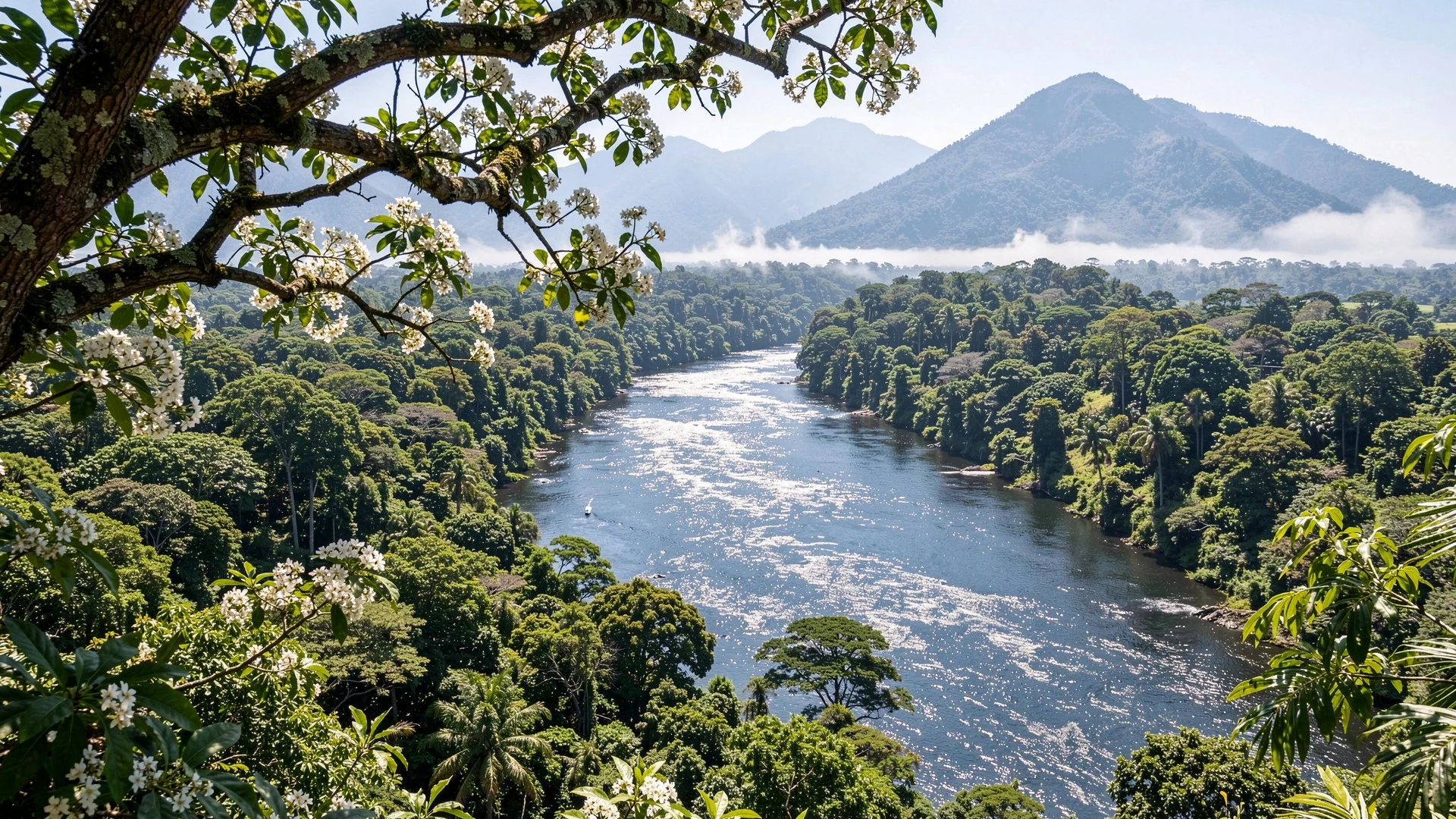
- Cloud forest wildlife: tayra — Cloud forest belts
Cloud forest can be misty and alive, and that’s where you may catch fleeting movement. A wild tayra is famously hard to pin down for photos, but seeing any track-and-scratch presence is a reminder you’re sharing the canopy world.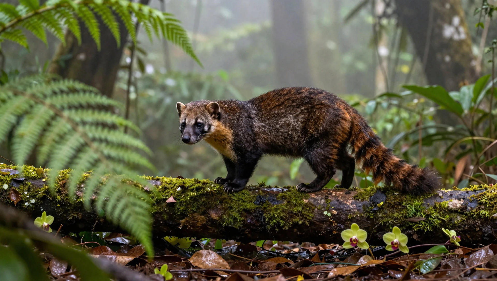
- Birdwatching target: cock of the rock — Cloud forest (higher slopes)
In Manu’s cloud forest, the cock of the rock is the sort of species people talk about in hushed excitement. Even without a perfect sighting, the habitat—dense, humid, and textured with life—keeps birdwatching feeling focused.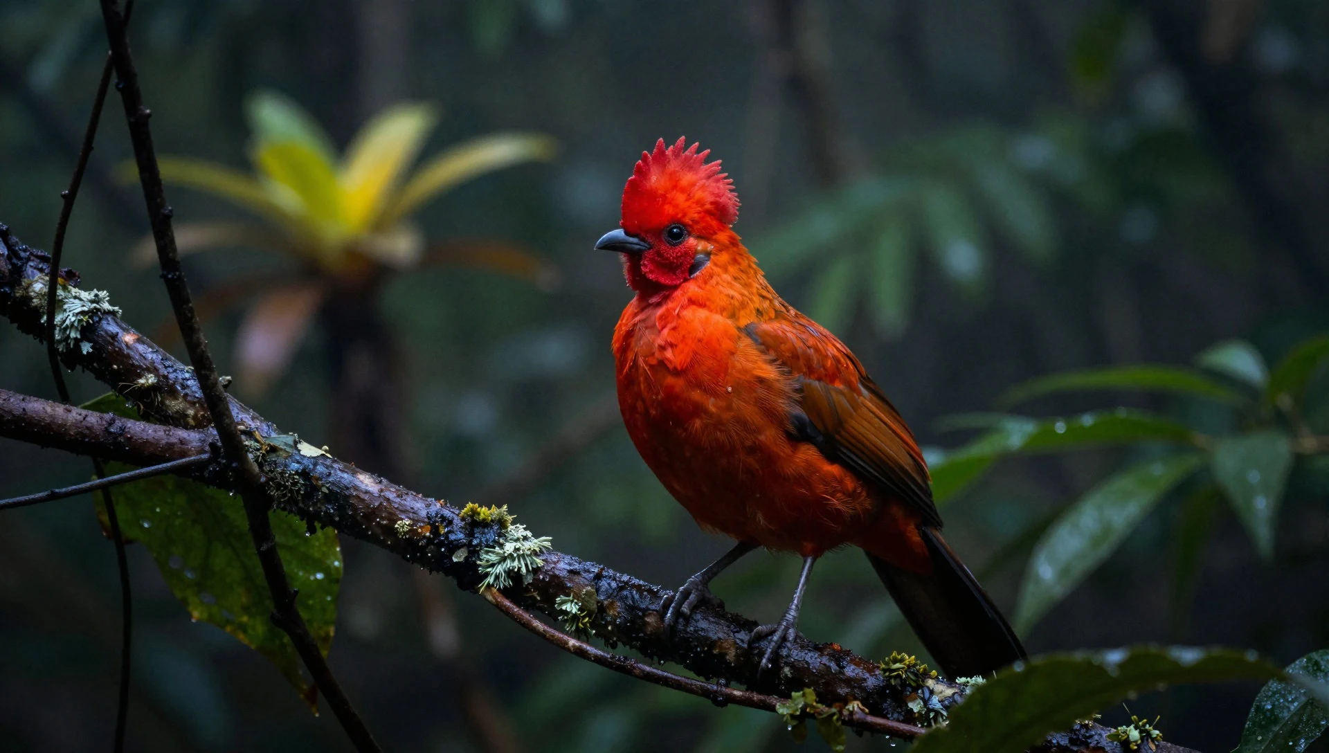
- Cultural Zone village life: Chipitiere — Cultural Zone communities
In the Cultural Zone, visits can connect you with small village settings inside the broader park landscape. It’s a different energy from lodge trails: more community rhythm, more everyday sounds, and a chance to see how people live within this protected space.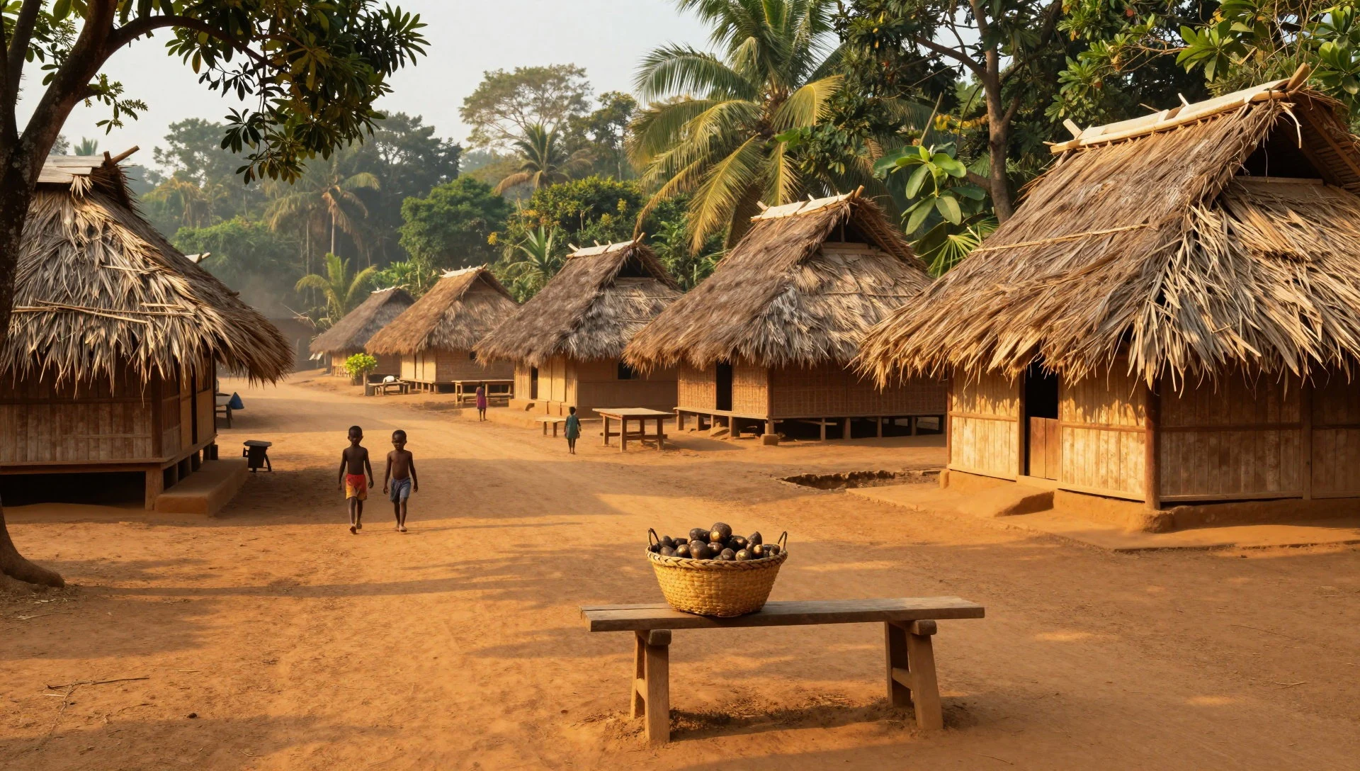
Culture
Manu National Park isn’t just “nature”; it’s also a lived landscape. The Cultural Zone is where local communities live in small villages, and it’s where most open access and day-to-day visitor activities happen. That means encounters can feel more personal than in a strictly remote wilderness—guides often act as both explainers and translators between conservation rules and community life.
Because Manu contains multiple zones (core, reserved, and cultural), the etiquette of the trip is mostly about staying within the boundaries you’re given. In areas meant for research, access is limited; in the reserved zone, tourism is channelled through limited operators. So when your itinerary tells you where you can go, it’s not paperwork—it’s part of how wildlife habitat stays intact.
Weather is also cultural in a small way: heavy rain and humidity can make people slow down, dress differently, and become more careful with footing and equipment. If you arrive expecting a quick, carefree walk, Manu tends to correct that idea pretty fast.
Respect for people and place goes hand in hand here: keep voices low near households, follow your guide’s lead in village settings, and remember that “protected” still includes real, ongoing human life inside the park’s wider framework.
Visitor etiquette: dress modestly in village areas and follow your guide’s cues on where to stand or walk, so community life and wildlife stay undisturbed.
What to wear
Manu National Park doesn’t have one single “traditional dress” that visitors are expected to wear every day—most people dress for the climate and for respectful movement in forest and village areas. In the cooler, higher parts (cloud forest and Andean grasslands), evenings can feel crisp compared with the lowlands, while the lowland rainforest stays hot and humid.
For a practical wardrobe, think layers and coverage. Wear a moisture-wicking base, a light waterproof layer, and long sleeves or long trousers to handle insects and foliage. Good walking footwear matters because trails can be muddy, and you’ll want grip when the ground is slick after rain. A hat helps with sun and with rain streaks; a small daypack keeps essentials organised when conditions change.
In village settings within the Cultural Zone, modesty usually matters more than fashion. Choose clothing that covers shoulders and knees, and keep your look simple—people are there to live, not to be a backdrop.
When it comes to what people actually wear now, locals and guides typically go with everyday practical clothes suited to humidity, walking, and rainfall—light fabrics, and items that dry or can be replaced easily. For visitors, mirror that logic: comfy, breathable, waterproof-ready, and easy to adjust as you move between elevations.
What to eat
- Jungle fruit and fruit drinks — Lodge and tour meal breaks around the Manu area
Manu trips often include fruit as snacks or drinks, especially when you pass through lodge or tour stop routines. Look for locally sourced fruit offerings and simple juices that refresh after humid mornings.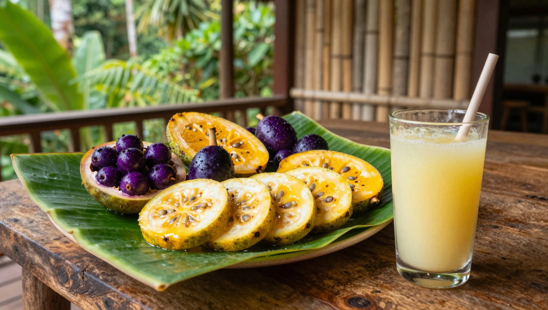
- Rice and slow-cooked stews — Everyday meals at lodges and set tour menus
In the lowland regions, meals commonly build around rice plus a hearty stew that works well after time on boats or wet trails. It’s comforting, filling, and adapts easily to what’s available.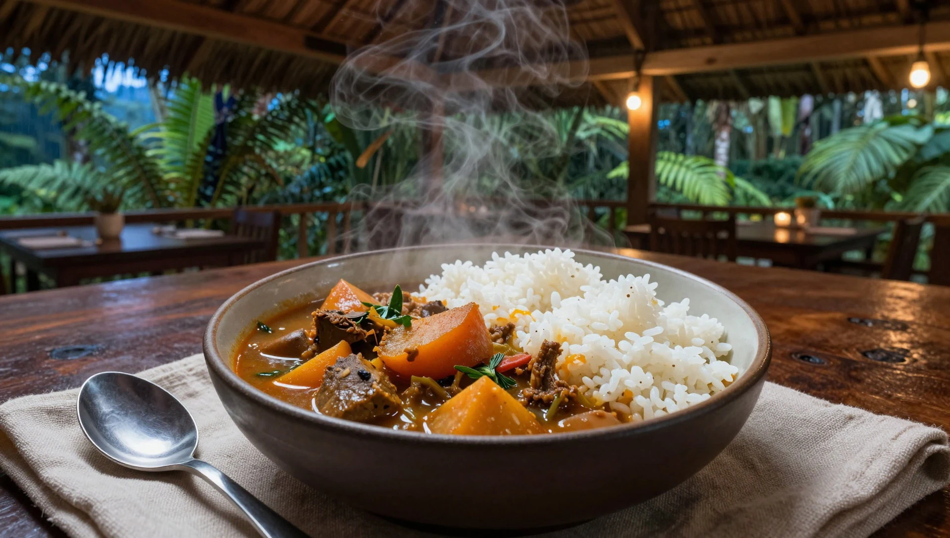
- Fresh river-fish dishes — Regional eateries serving tour groups near the access routes
Peru’s river regions have a natural connection to fish, and on Manu-style itineraries you may see simple preparations that keep flavours straightforward. It’s usually served with starchy sides or vegetables. - Plantain (tostones / fried banana style sides) — Local food stalls and markets in nearby towns
Plantain shows up as fried or crisp side dishes, a good match for humid days when you want something salty and satisfying. It’s often served alongside rice or stews. - Andean-style soups and warming bowls — Lodges and meal stops in the higher sections
As you move into higher, cooler areas, warmer soups and broths help you reset. These meals tend to feel lighter than heavy stews but still comforting in misty cloud-forest conditions.
Plan it
Best time. May–September for the driest conditions and cooler weather (especially June–August); the wettest months are December–March, so those periods are consistently rainier even though elevation can moderate temperatures.
How long. 3–4
Getting there. Fly into Cusco and connect onward by your chosen jungle route; there is also an access option using a combination of bus and boat, which can be a long trip. The Boca Manu airstrip is not operational on 2023, so plan around alternatives with your operator.
Budget. mid
Tips
- Expect weather and conditions to shift with altitude; pack layers even if you start in warm lowlands
- If your goal is wildlife, choose itineraries built around the reserved zone rather than relying on casual access
- Start early on trekking days to make the most of cooler morning temperatures in the higher areas
- Choose a tour operator arrangement rather than trying to improvise routes once you’re in the region
- Carry a waterproof bag or cover for your camera as rain can vary dramatically across the park
Etiquette
- Stay within the zones and pathways set by your operator and guide, especially where access is restricted
- Keep noise low in forest and near households in the Cultural Zone
- Follow the lead of guides for how close you get to wildlife and community spaces
Nearby
Sources
- Wikidata Q390264 (CC0)
- Wikipedia (rev 1362853650) (CC BY-SA 4.0)
- Wikivoyage (rev 5297236) (CC BY-SA 4.0)