Mangup Kale
Mangup Kale, Ukraine
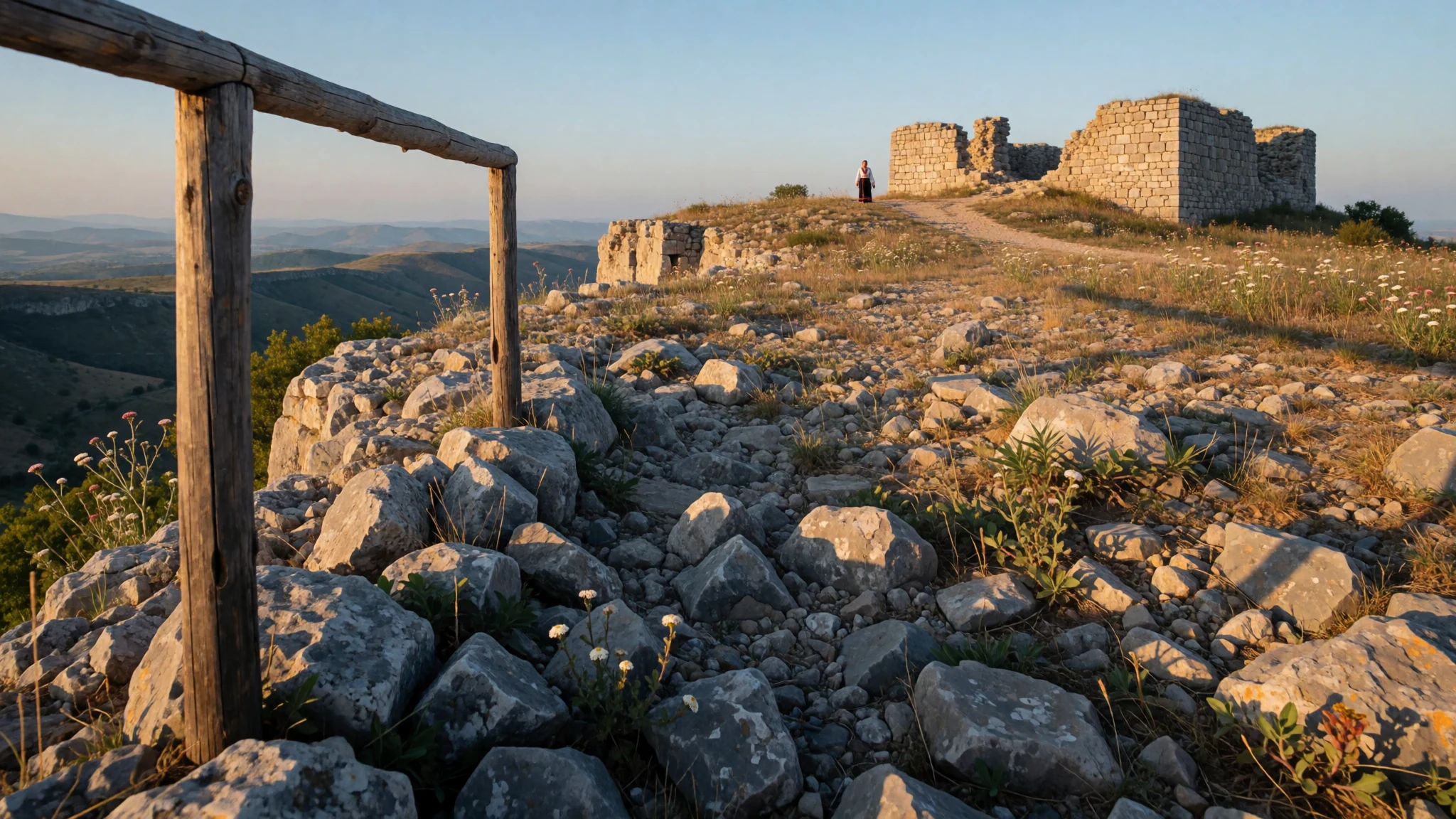
Mangup Kale is a ruined cave town on a cliff-edged plateau in Crimea, once the capital of a small Christian principality.
The place
Mangup Kale stands on a long, flat-topped plateau in the Crimean uplands, about 13 kilometres east of Sevastopol. Sheer rock edges drop away on most sides, which made the summit an obvious place to defend and a hard one to attack. The name combines Mangup with the Turkish word kale, meaning fortress, and the site is also known simply as Mangup. The plateau is not one monument but a whole abandoned town: gateways, wall lines, foundations of churches, house plots, and rooms cut straight into the cliff faces. Wikidata classes it as a former settlement, an archaeological site and a cave city, and gives its founding as around the year 300. Much of the interest lies in how the layers overlap. Walls of different periods sit beside caves that were dwellings, storerooms or chapels at different times, and grass and scrub have since covered most of the lanes. The setting is as much part of the appeal as the ruins, with open views across wooded valleys and ridges. There is little shade on top, and the paths are rough. Anyone going should also know the political position. Crimea has been under Russian control since the peninsula's annexation, which Ukraine and most other countries do not recognise, and Russia's full-scale invasion of Ukraine continues. For most travellers from India and the UK, Mangup is a place to read about rather than visit at present, and official travel advice should be checked first.
Its story
Mangup Kale appears in the record through the Byzantine writer Procopius of Caesarea, who describes the surrounding region, then called Dory or Doros, as settled by Ostrogoths. These were the Goths who declined to follow Theodoric the Great into Italy in the 490s. They became the Crimean Goths, and their homeland was known as Gothia. Excavation shows that by the 6th century the plateau and its neighbours had Christian basilicas, fortifications and cave settlements. A bishopric, the Metropolitanate of Doros, followed in the late seventh or early eighth century. Gothia was then conquered by the Khazars, and in the 8th century it became the centre of a failed Gothic revolt against them, led by Bishop John of Gothia. After the 9th century the old name Doros disappears and Mangup takes its place, first recorded around 960. A trace of the earlier name may survive in Theodoro, the principality that later ruled from here and whose capital the town became. In the mid-tenth century the Crimean Goths were Khazar vassals, and later they came under the sway of rival powers, among them Kievan Rus and the Kipchak confederation. The story is one of a small Christian community holding a defensible rock while larger empires and steppe peoples shifted around it. Ottoman forces eventually captured the principality, and the town was gradually abandoned.
What to see
- The main gate and its approach — Southern slopes of the plateau
The way up to the main gate of Mangup Kale shows why the plateau held out so often. The track climbs under cliffs and funnels toward a narrow entrance, so anyone attacking was exposed on the slope. Stone footings and wall stumps mark the line of the defences, and the gate area is a good place to read the layout.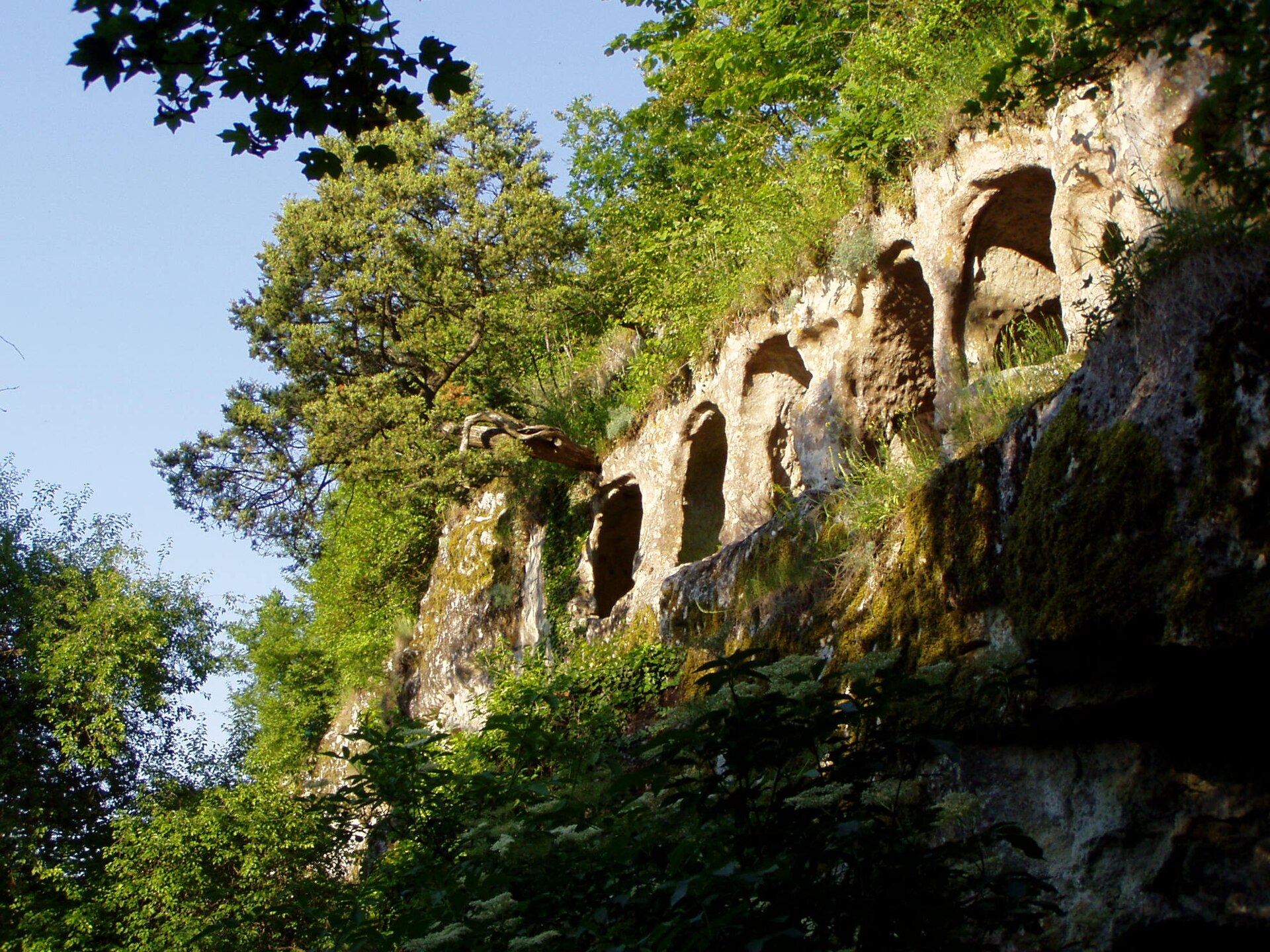
- The old citadel — Plateau summit
The old citadel is the best-known stretch of ruins on Mangup, a cluster of wall remains and rooms standing at the edge of the rock. It is the part most often photographed, with the plateau falling away beyond it. The masonry is rough and partly collapsed, so it rewards slow looking rather than a quick pass.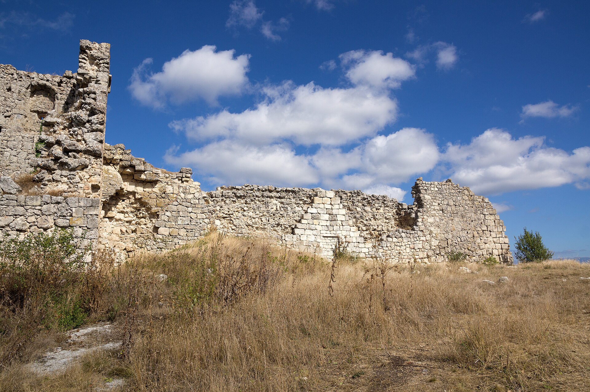
- Cave dwellings in the cliffs — Cliff faces around the plateau
Rooms cut into the rock are among the defining features of Mangup, which Wikidata lists as a cave city. Some were homes, some stores, and some may have served religious use at different times. Entrances open onto ledges and steep ground, so care is needed, and loose stone near the openings can be unstable.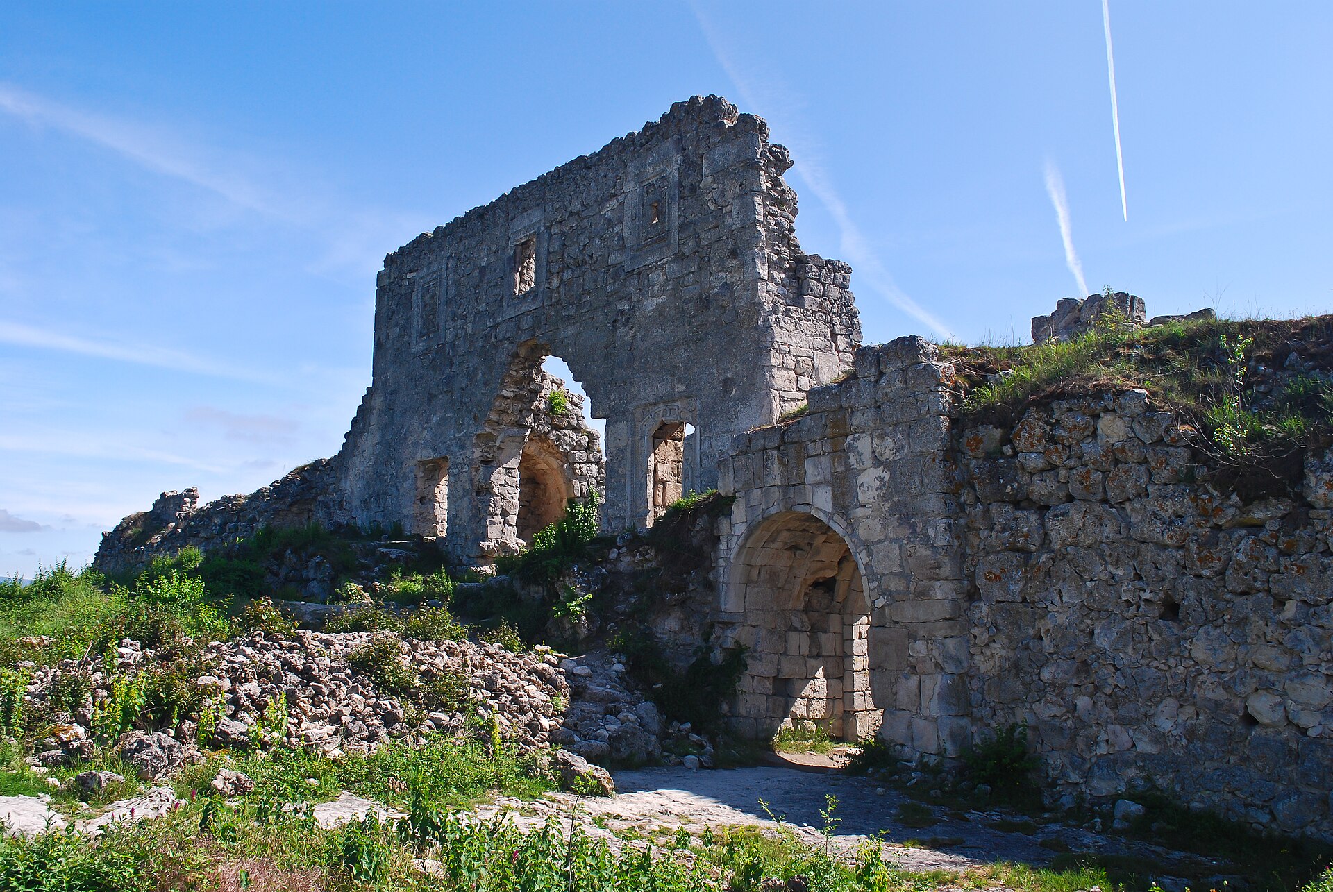
- Church foundations on the plateau — Top of the plateau
Excavations here have uncovered Christian basilicas dating to the 6th century, and low stone outlines of churches remain among the grass. They are modest remains, mostly plan and footing rather than standing walls, but they tie the empty ground to the Gothic bishopric that once governed this region.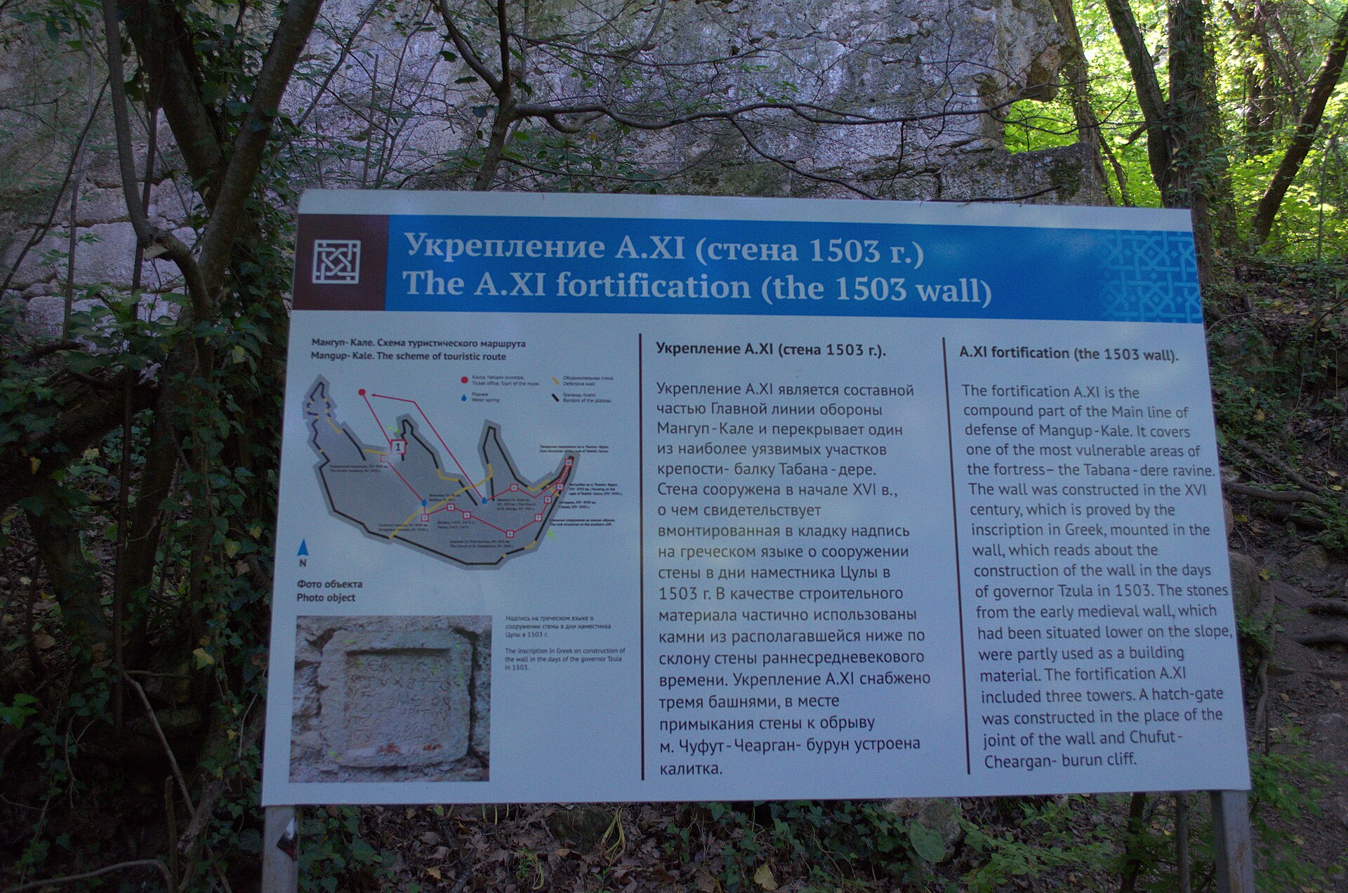
- Plateau edge viewpoints — Rim of the plateau
Walking the rim of Mangup gives the clearest sense of its scale and its defences. Valleys and wooded ridges stretch away on every side, and the cliff lines explain the choice of site. Edges are unfenced and drops are abrupt, so footing matters, especially in wind or after rain.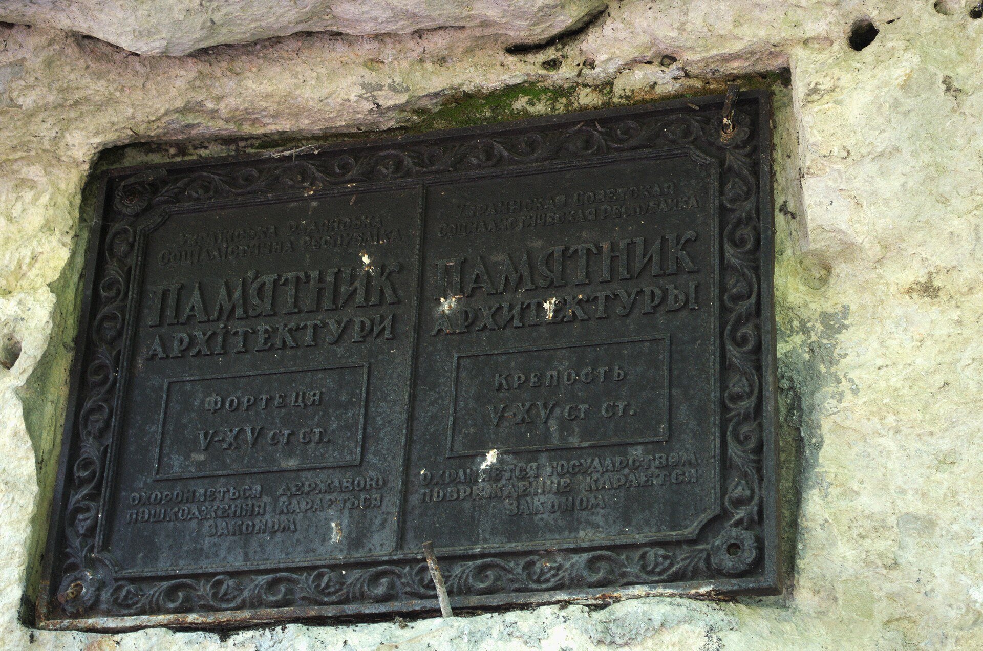
Culture
Mangup Kale belongs to a landscape shaped by several peoples, among them the Crimean Goths, Byzantine Christians, Turkic and Tatar communities and later Russian and Ukrainian settlers. Which of those histories is stressed tends to depend on who is speaking, so listening before offering opinions is wise. The site itself is an abandoned town rather than a living shrine, but the faith of its builders is visible in the church foundations and cave chapels, and local people treat the place with respect. Elsewhere in Ukraine, Ukrainians are firm that their country, language and ethnicity are distinct from Russia's. Calling Ukrainian a dialect of Russian, or saying 'the Ukraine', causes real offence, and the same sensitivity applies in conversations about Crimea, where the political situation is painful and contested. Hospitality is generally warm, and politeness, such as small courtesies toward women and hosts paying for meals, is expected in many Ukrainian settings. Clothing and behaviour are relaxed rather than conservative, though village and religious contexts call for a little more care. Any visit at present would also involve official checks, restrictions and real safety risks, which are better understood in advance than discovered on arrival. Respect the ruins as an archaeological site: stay on the marked paths, leave stones and finds where they lie, and ask before photographing local residents.
What to wear
Mangup Kale lies in a region where traditional dress reflects several communities. Crimean Tatar costume is known for embroidered velvet and silk, metal-thread decoration, decorated waistbands and headwear, and it is worn mainly at festivals, weddings and cultural events. Ukrainian dress centres on the vyshyvanka, a linen or cotton shirt embroidered in regional patterns, which people wear on holidays and, increasingly, as an everyday statement of identity. Day to day, locals dress as people do across eastern Europe: jeans, trainers or boots, practical jackets, and layers that cope with changeable weather. Clothing in Ukraine is not generally conservative, and nobody will expect special outfits in town. A visit to the plateau itself calls for something different. Ground is rocky, uneven and often dusty or slippery, so sturdy shoes with good grip matter more than style. Long trousers help against scrub and sharp stone, a hat and sunscreen are needed because there is little shade on top, and a windproof layer is useful in the open. Summers can be hot and exposed, while spring and autumn mornings can feel cool. If a church or monastery is visited nearby, covering shoulders and knees is courteous. A small day pack with water makes the walk far easier.
What to eat
- Chebureki — Roadside cafes and village eateries
A large, thin fried pastry folded around minced meat and onion, sold across Crimea and associated with Crimean Tatar cooking. It is eaten hot and greasy, usually as a quick lunch. Roadside cafes and small eateries in villages near the uplands are the usual places to find it. - Borshch — Any traditional Ukrainian eatery
The red beetroot soup that stands for Ukrainian home cooking, normally served with a spoon of sour cream. Versions differ by household, some with meat and some lighter. It suits cool days after a long walk and appears on almost every traditional menu. - Solianka — Town restaurants and canteen-style eateries
A sharp, savoury meat soup that Wikivoyage lists among the classic Ukrainian soups. It is hearty and slightly sour, and often one of the first dishes locals recommend to visitors. It is best ordered in a busy place with quick turnover. - Plov — Family-run cafes in nearby villages
A rice dish cooked with meat and spices, common in the Crimean Tatar table and shared across the wider region. It is filling, simple and generous. Portions are often large, so sharing is sensible after a day on the plateau. - Salo — Restaurants and local markets
Salted pork fat, sliced thin and served with bread, a traditional Ukrainian side dish. Many visitors find it an acquired taste, though locals treat it as a staple. It is worth a small taste, and is best eaten at a proper restaurant.
Plan it
Best time. Spring (April–May) and early autumn (September–October) are the sensible months for a walk on an exposed plateau, since high summer is hot with little shade and winter brings cold, wind and slippery rock.
How long. 1
Getting there. Sevastopol is the nearest city, with the plateau about 13 kilometres to the east; the last leg is by road to the foot of the rock and then on foot. Because Crimea is under Russian control and Ukraine is at war, entry routes, transport and legal risks are not straightforward, so read the current FCDO (UK) or Ministry of External Affairs (India) travel advice before making any plan.
Budget. low
Tips
- Check official government travel advice before considering any trip, as conditions and legal risks can change quickly
- Start early to avoid midday heat and glare on the shadeless plateau
- Carry plenty of water and snacks, since there is little on top
- Wear shoes with real grip, as the rock is uneven and can be slippery
- Carry cash and a downloaded offline map, as signal and card acceptance can be unreliable
Etiquette
- Stay on marked paths and leave stones and finds where they are
- Avoid political arguments about Crimea and about Ukraine and Russia
- Ask before photographing local people
Nearby
Sources
- Wikidata Q988400 (CC0)
- Wikipedia, Mangup (rev 1376406680) (CC BY-SA 4.0)
- Wikivoyage, Ukraine (rev 5412779) (CC BY-SA 4.0)
- Photo: Old citadel, Vyacheslav Argenberg (CC BY 4.0)
- Photo: Fortress of Mangup, Mevo (Павел Можаев) (CC BY 3.0)
- Photo: Крым (1869) (Public domain)
- Photo: Мангуп-кале, Vladimir Skrypov (CC BY 3.0)
- Photo: Mangup, Ilya (DSC_0038) (CC BY 3.0)
- Photo: Mangup, Ilya (DSC_0687) (CC BY 3.0)
- Photo: Mangup, Ilya (DSC_0773) (CC BY 3.0)
- Photo: Mangup, Ilya (DSC_0839) (CC BY 3.0)


