Majuro
Majuro, Marshall Islands
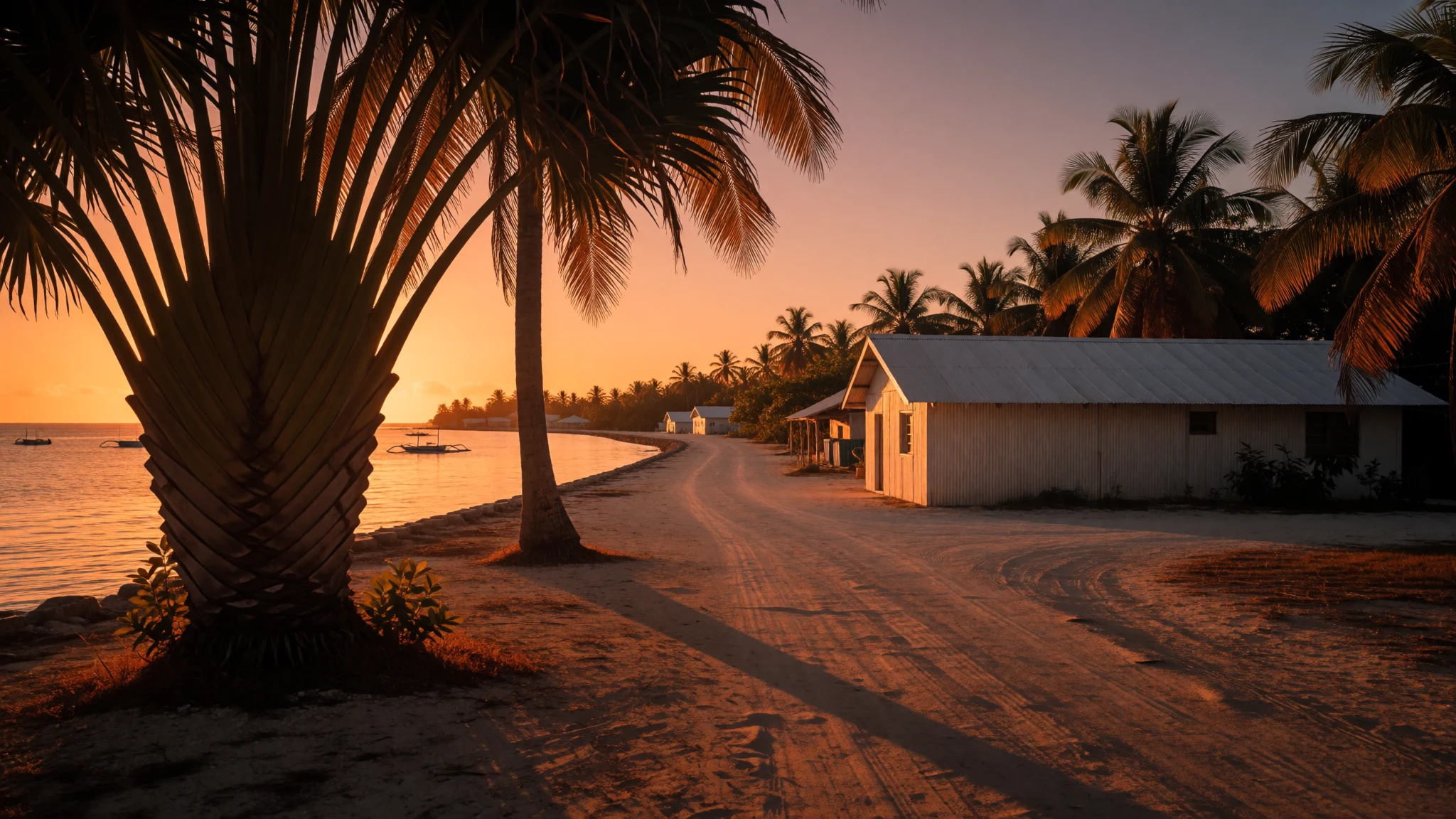
A remote, sun-bleached stop where the Pacific stretches farther than any map, best seen by boat from a 9.7 km coral ring.
The place
As the capital and largest city of the Marshall Islands, Majuro stretches across a wide coral atoll made up of 64 islands. The land area is compact—just 9.7 square kilometres—but it encloses a vast lagoon that stretches 295 square kilometres of shallow blue. Visitors land on the Uliga-Djarrit motu, the population heart of the atoll. This area, often grouped as DUD, holds the administrative buildings, local shops, and the only real sense of a high street in the country. The geography is deceptively flat; the highest point is essentially sea level, with the city sitting at an elevation of just 3 metres. The climate is consistent, locked in a tropical trade wind pattern that holds average temperatures around 27 °C year-round. This steadiness of heat and humidity defines daily life. Majuro serves as the gateway to the Ratak chain, the eastern group of Marshall Islands islands. It connects to the wider region via the international airport, with regular flights linking to Hawaii, Micronesia, and Kiribati. Beyond the paved roads that connect the main motus, the settlement pattern is distinct: homes are built on stilts over the mangroves or on the narrow strips of sand, keeping the coastal beauty intimate. The local economy historically relied on copra, and while modern service industries now drive the urban core, the scent of drying coconut is pervasive. The atoll is not a tourist destination in the traditional sense, but a functional hub where the logistics of the Pacific meet. It is the meeting place of the Nitijeļā, the national parliament, making it the political centre of the sovereign republic. The streets are relatively narrow, lined with government offices and small grocery stores, bordered by the grey expanse of the lagoon. At the western tip, the natural landscape reclaims the space, and the built environment gives way to the unbroken horizon, inviting quiet exploration of the water rather than the tarmac.
Its story
The atoll has been home to Austronesian peoples for at least 2,000 years, with archaeological evidence pointing to settlement as early as the 1st century AD. Laura village sites reveal earth ovens that anchor modern Marshallese heritage to deep time. The written history begins in the late 1860s when American Board of Commissioners for Foreign Missions established a Protestant mission. By the 1870s, the focus shifted to commerce, as copra trading firms moved in to exploit the coconut supply. Henderson & Macfarlane made Majuro its regional headquarters, moving the economic pulse from scattered islets to a central point. However, the 1880s brought internal conflict. Two rival iroij, Jebrik and Rimi, waged war for control of the atoll following the death of their uncle. Their disputed claim over the territory led to the destruction of trees and crops, causing severe famine. The war ended only when a British warship mediated a peace treaty in 1883, though tension lingered. Not long after, the German Empire annexed the atoll as a protectorate in 1885. The 20th century brought a succession of colonial powers and military uses, most notably the massive U.S. fleet installation in 1944. The current political status dates from 1978, when the Marshall Islands broke away from the Federated States of Micronesia to form an independent republic. Majuro assumed the role of the capital then, superseding older administrative sites. This transition marked a shift from a colonial trading outpost to a sovereign seat. Today, the landscape bears the marks of these layers; modern structures sit alongside remnants of the copra era. The history of this small city is a record of resilience, from survival in the face of internal war to autonomy in a complex geopolitical landscape. The natural coral foundation has withstood the weight of these political changes, surviving as a stable but dynamic base for one of the Pacific’s most remote nations.
What to see
- Eneko Island
A small islet close to the main town, Eneko is accessible by a short boat trip from Uliga. It features a small hotel and camping facilities, offering a chance to step away from the urban bustle. The island is quiet in the evenings, with the lagoon sounding gently against the sand. It is a focal point for the local diving community, who base their excursions here to explore the coral reefs surrounding the atoll. Visitors can arrange days or nights on the island, providing simple accommodations and unstructured time to observe the marine environment without the distractions of the main population centre.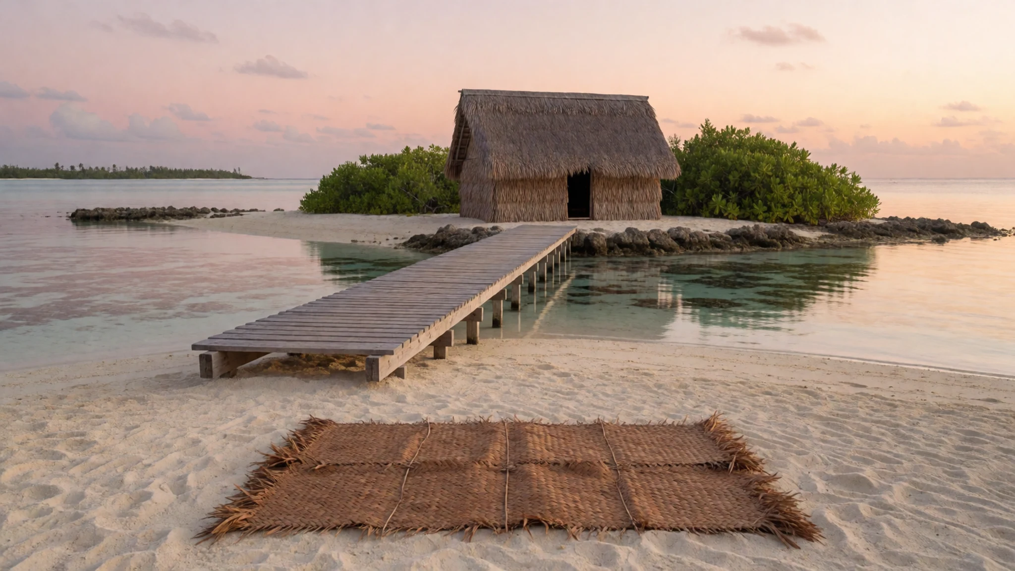
- Laura Beach
Located on the western tip of the atoll, this beach is considered the primary draw for those seeking a traditional tropical setting. A rental car is the most efficient way to reach it from the town centre. The sand is pale, and the water is calm, creating a stark, beautiful contrast with the dry, dusty roads leading up to it. It is a great place to sit with a book or watch the sunset, which sets directly into the Pacific Ocean. A quiet one-day destination, it emphasizes the sheer emptiness of the high islands' surroundings, away from the infrastructure of the motu.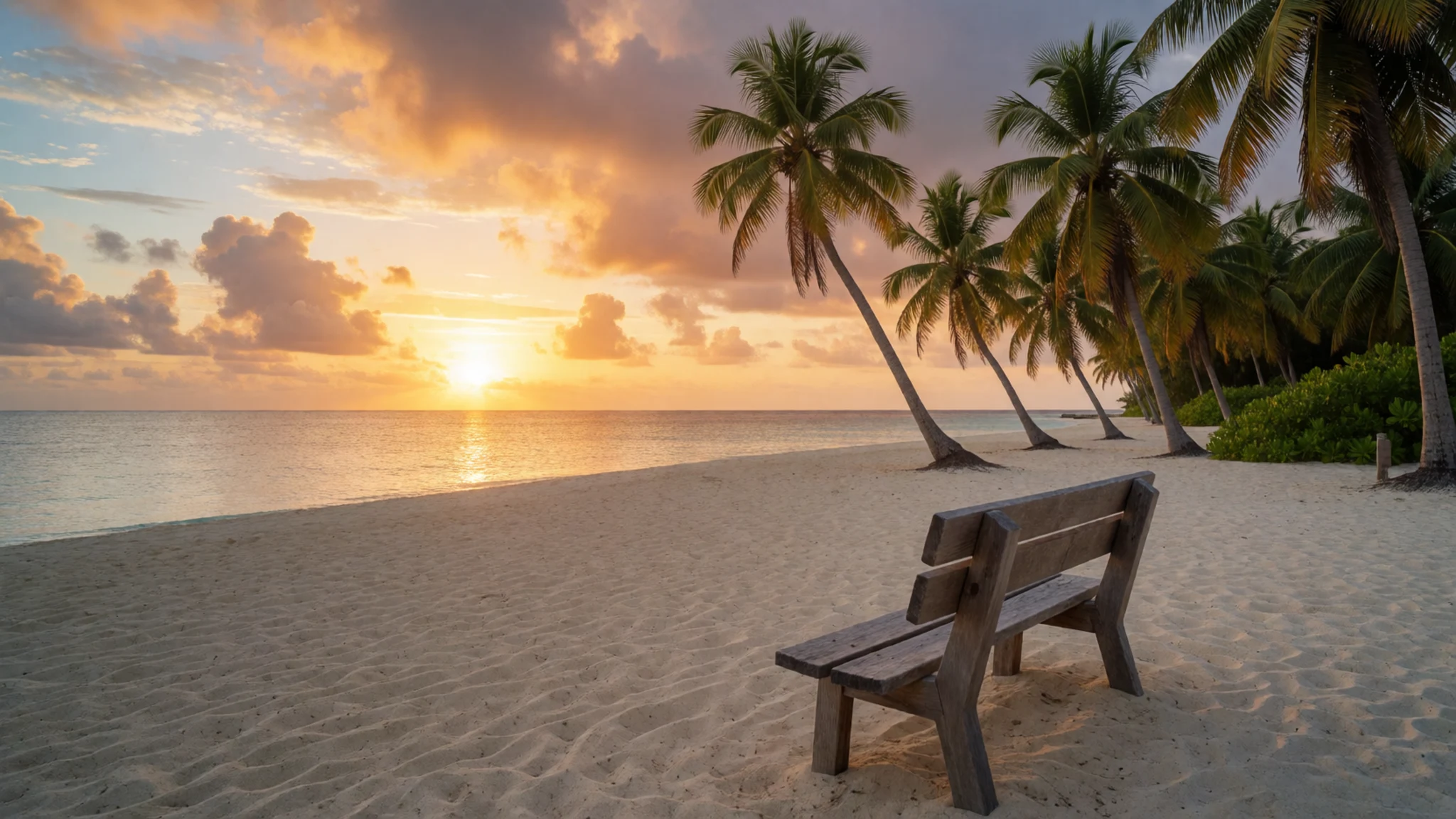
- Alele Museum and Public Library
This facility serves a dual purpose, functioning as the national library and a small cultural repository. The exhibition space contains photographs and objects that document the turn-of-the-century life and landscapes. The building provides essential services to the population but also offers insight into the artistic and literary heritage of the Marshallese. The photos on display capture the atoll before it was fully modernised, offering a visual timeline of the environmental and social change. A necessary stop for anyone looking past the surface tourism into the deeper cultural identity of the capital.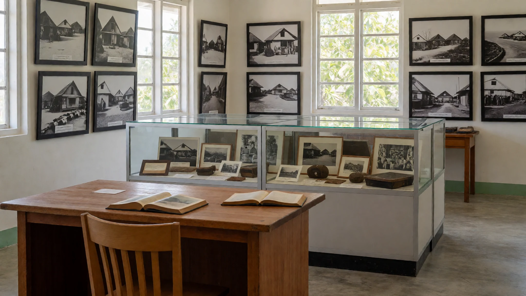
- Arno Atoll
Boat trips to the next atoll, Arno, are organized through local handicraft shops and hotels. Arno is significantly less developed than Majuro, offering a glimpse into a slower pace of life. The lagoon here is equally expansive, but the islands are sparsely populated, creating a sense of profound isolation. The water quality is often superior, and the coral formations are less disturbed. A day or overnight trip to Arno highlights the diversity within the Marshall Islands archipelago, showing how a change of a few miles can alter the density of human habitation and the appearance of the natural coastline completely.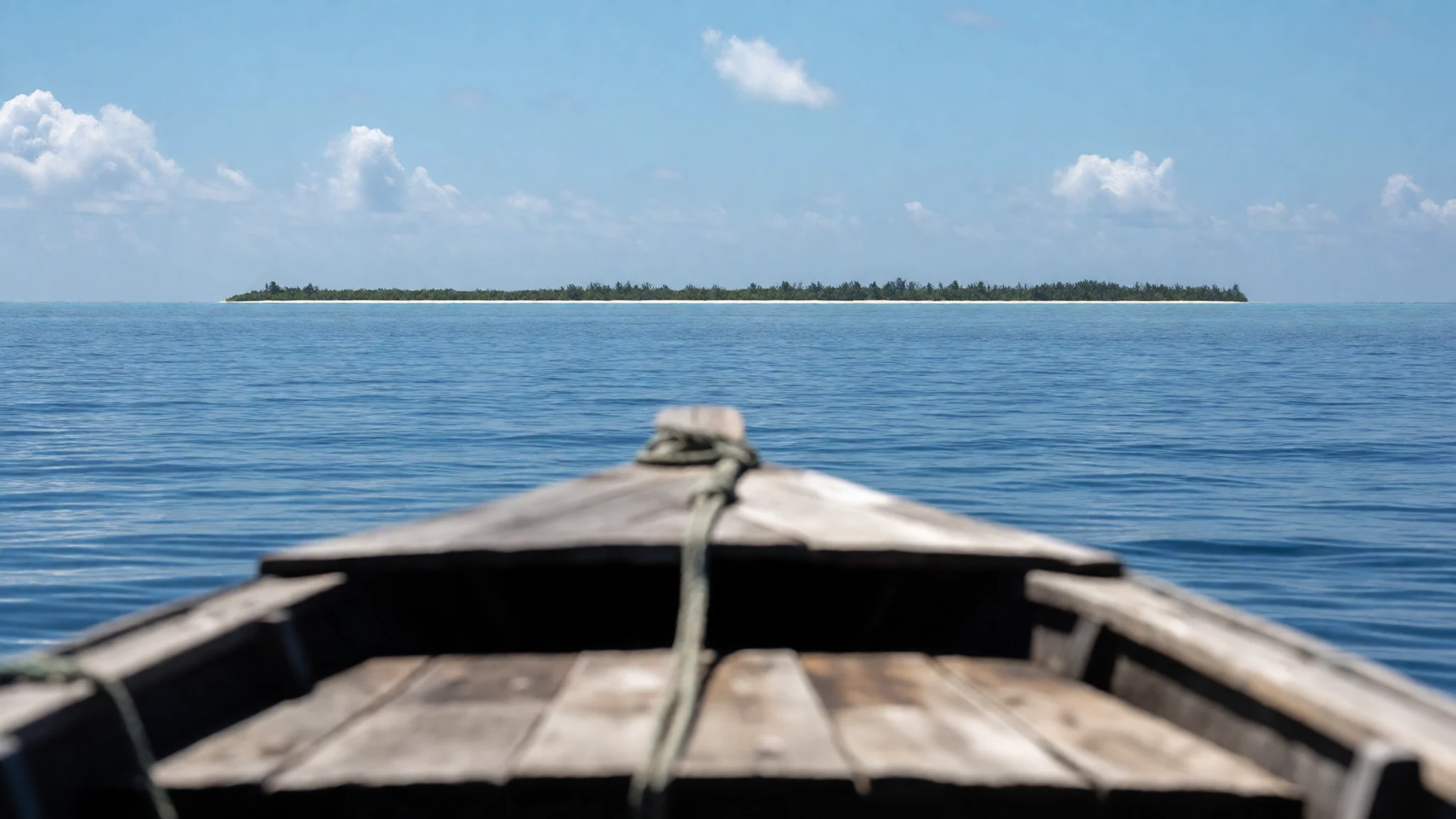
Culture
Marshallese culture is ocean-centric. The ability to navigate by stars and currents is a respected skill passed down through trade and elder-training. Social life in Majuro unfolds in the evenings; neighbours gather to share food or simply to watch the sunset hang over the water. Respect for hierarchy is deeply embedded. Elders are addressed with deference, and decisions in traditional settings often rely on consensus. The Christian faith is woven into daily routines, marking the week with Sundays of church attendance. Local interaction is polite and respectful, particularly when discussing lineage or local leadership. Visitors should be aware that touching local heads or entering restricted huts without permission is not accepted. Social codes are informal but visible. The concept of 'taro' (respect) means that a visitor should look to a male elder or the host to guide interaction. Photography of private homes or people often needs a polite, local ask first. The society values community networks; helping a neighbour is an expected social norm. When participating in local customs, observing from the periphery is often more appropriate than trying to intervene. Artistic forms focus on wooden sculpture and fibre arts, which are often commissioned or exchanged. Visitors are part of the social calendar if they participate in local fish fries or holiday gatherings, but the default is to be a respectful observer in the capital.
What to wear
Traditional Marshallese dressing involves specific cultural attire: the niu (skirt) and the rukai (knee-length wrap). These are made from woven local fibre, historically produced by women who learned the craft during youth. The red puka shells or red feathers often adorn the hair in traditional settings, wrapping back to the forehead to form a traditional look. Today, urban Majuro mirrors global casual standards: t-shirts, shorts, and flip-flops are daily wear. However, on sagoa (religious days) or during state functions, traditional dress increases. Materials like nylon and light cotton are chosen over silk due to the aggressive tropical sun. Visitors should pack light. Breathable wool or linen t-shirts, comfortable shorts, and a sun hat are essential for the persistent heat. Closed-toe shoes are useful for walking on coral paths and rocky shorelines at nearby islets, preventing cuts that can easily occur in the atoll environment. A thin, long-sleeved UV-protection shirt is a good investment. Modest dress is appreciated when visiting government buildings or places of worship, though casual standards prevail in the town center.
What to eat
- Poker (Cassava Fish) — Streetside stalls and local diners
A staple protein, often prepared in a coconut milk-based reduction. The fish is typically fried or grilled, preserving the natural oils in the flesh. It is a central component of local fish fries and family gatherings, where the sauce is drunk as much as the fish is eaten. The coconut milk adds a subtle nuttiness that balances the intensity of the local sweet potato or taro accompaniments. The dish is an indicator of the strong oceanic influence on the local agricultural practice, with coconut and fish defining the dietary profile of the capital's residents.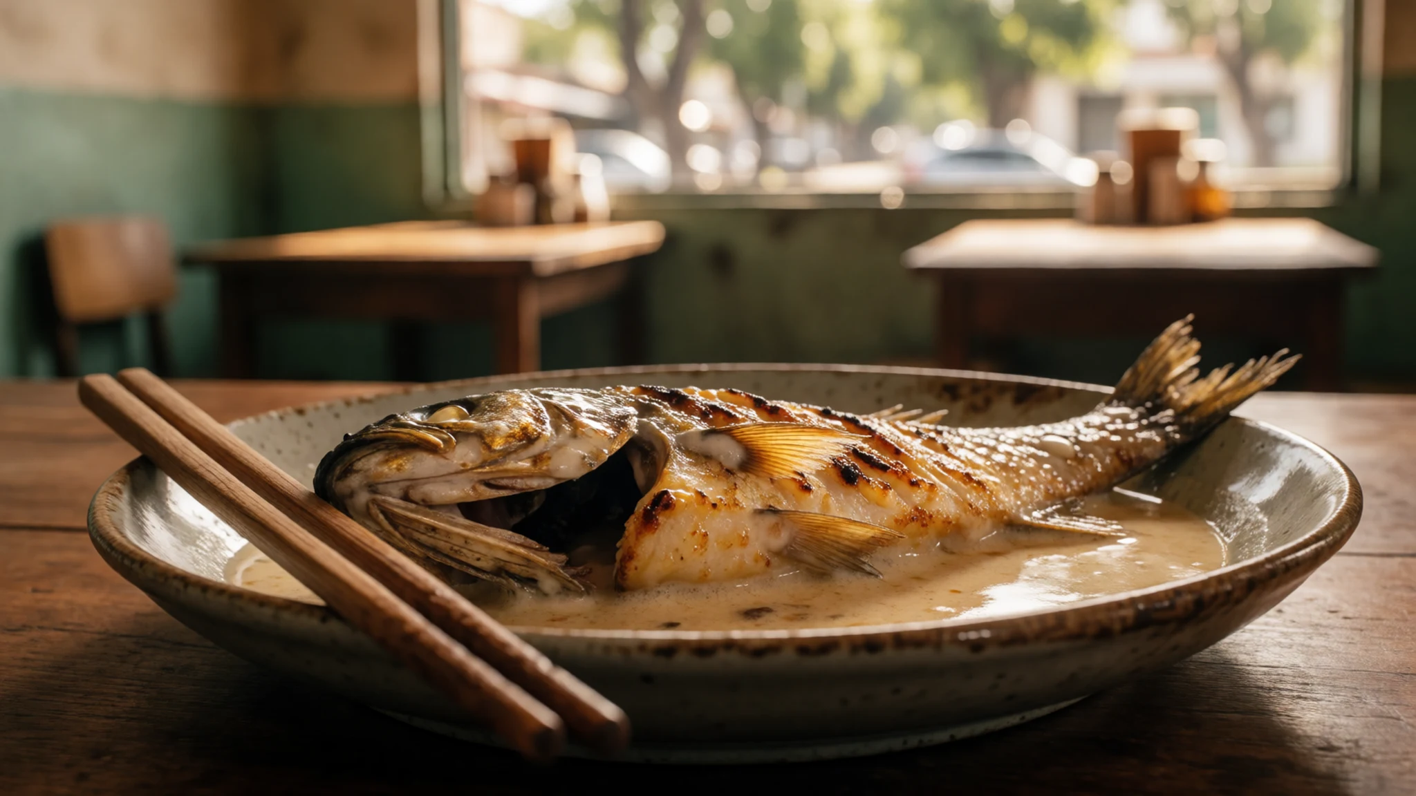
- Majuro Seafood — Marshall Islands Club and Lagoon-front restaurants
Fresh catches from the surrounding lagoon, often prepared with simple spices to highlight the natural sweetness. Grilled fish, sometimes paired with thick yellow plantain, is the standard for any fish fry. The seafood here is extremely fresh, being landed that morning from the local boats operating the 295 square km of water. The cooking style varies, ranging from deep-fried to simply roasted over a fire, but the focus in Majuro's restaurants is on local sourcing over imported goods.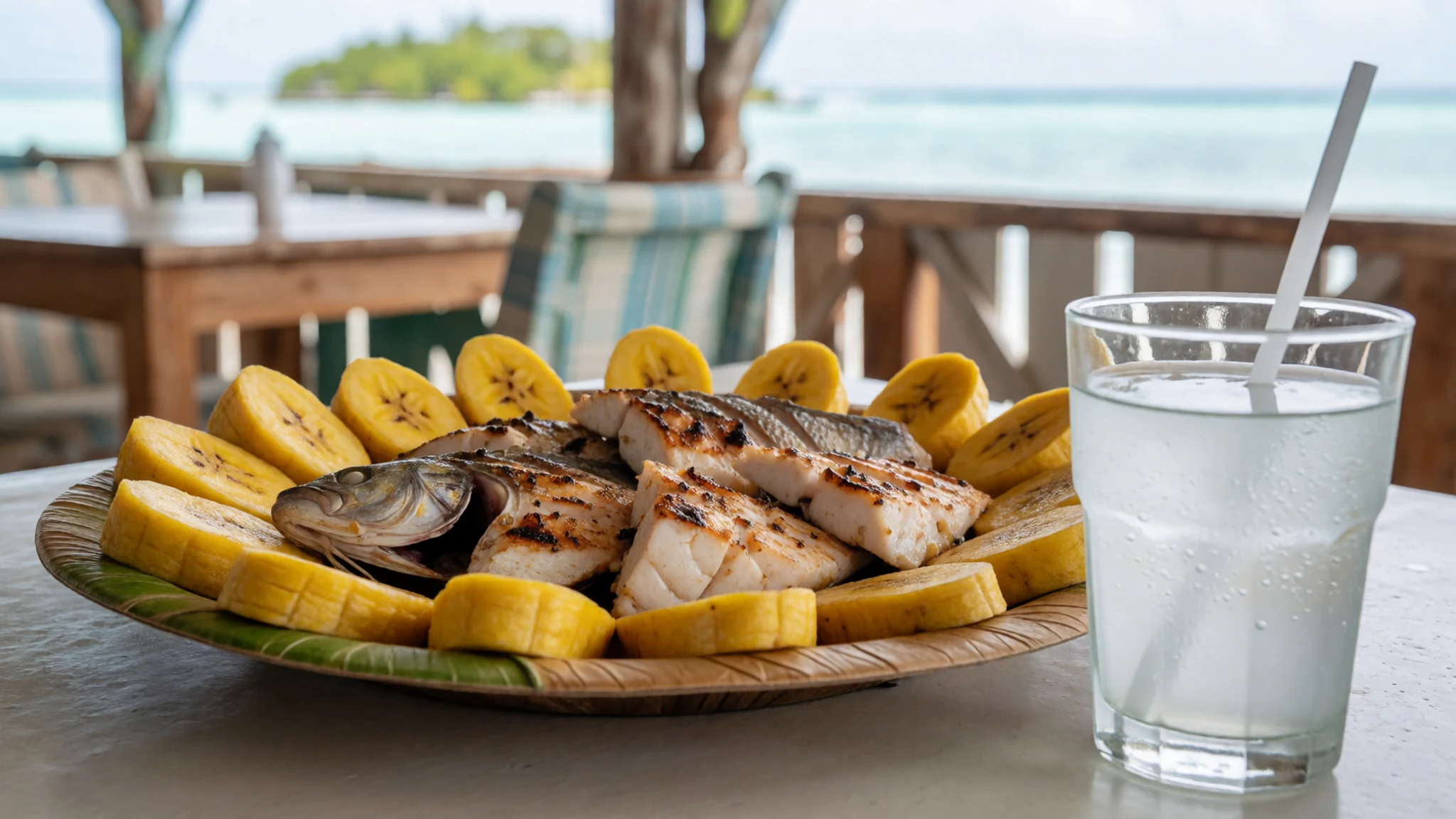
- Micronesian Rice — Sit-in eateries and the main road
White rice is the foundation of every meal, eaten at every time of day. It is almost always washed in a modest amount of water before cooking (or served as a side dish) and served in large quantities. The preparation is standard, though local subsistence practice often includes the occasional addition of local spice rubs to break the plainness. This food choice reflects the historical agricultural staples brought to the island by early settlers and sustained by domestic farming on the higher motus.
Plan it
Best time. January through May, when the temperature holds at an average 27 °C, for dry trade winds that keep the humidity slightly down and the sailing windows open.
How long. 4–7
Getting there. International flights from Palau, Hawaii, or Kiribati. From the airport, a taxi in the lagoon costs a few dollars to the main town of Uliga, or the free hotel shuttle service is a viable alternative.
Budget. mid
Tips
- Carry cash for small vendors, as card acceptance is limited to the larger tourist infrastructure.
- Book hotel transfers in advance; town options can be limited when flight schedules shift.
- Use long-sleeved sun protection, as the tropical sun is unfiltered by sea level structures.
- A rental car is necessary for Laura Beach; local taxis are scarce, if not entirely absent, for out-of-town routes.
Etiquette
- Do not photograph people, especially sacred sites or village elders, without clearly asking for permission first.
- Dress with modesty for formal state functions or official religious gatherings.
- Ask a host or local elder before participating in village-level events.
Nearby
Sources
- Wikidata Q12919 (CC0)
- Wikipedia (rev 1379637373) (CC BY-SA 4.0)
- Wikivoyage (rev 5410223) (CC BY-SA 4.0)
- Majuro (Marshall Islands) main road (CC BY 2.5)
- Images from a trip to the islet of Eneko (CC BY-SA 4.0)
- Majaro Airport Welcome (CC0 1.0)


