Low Tatras National Park
Low Tatras National Park, Slovakia
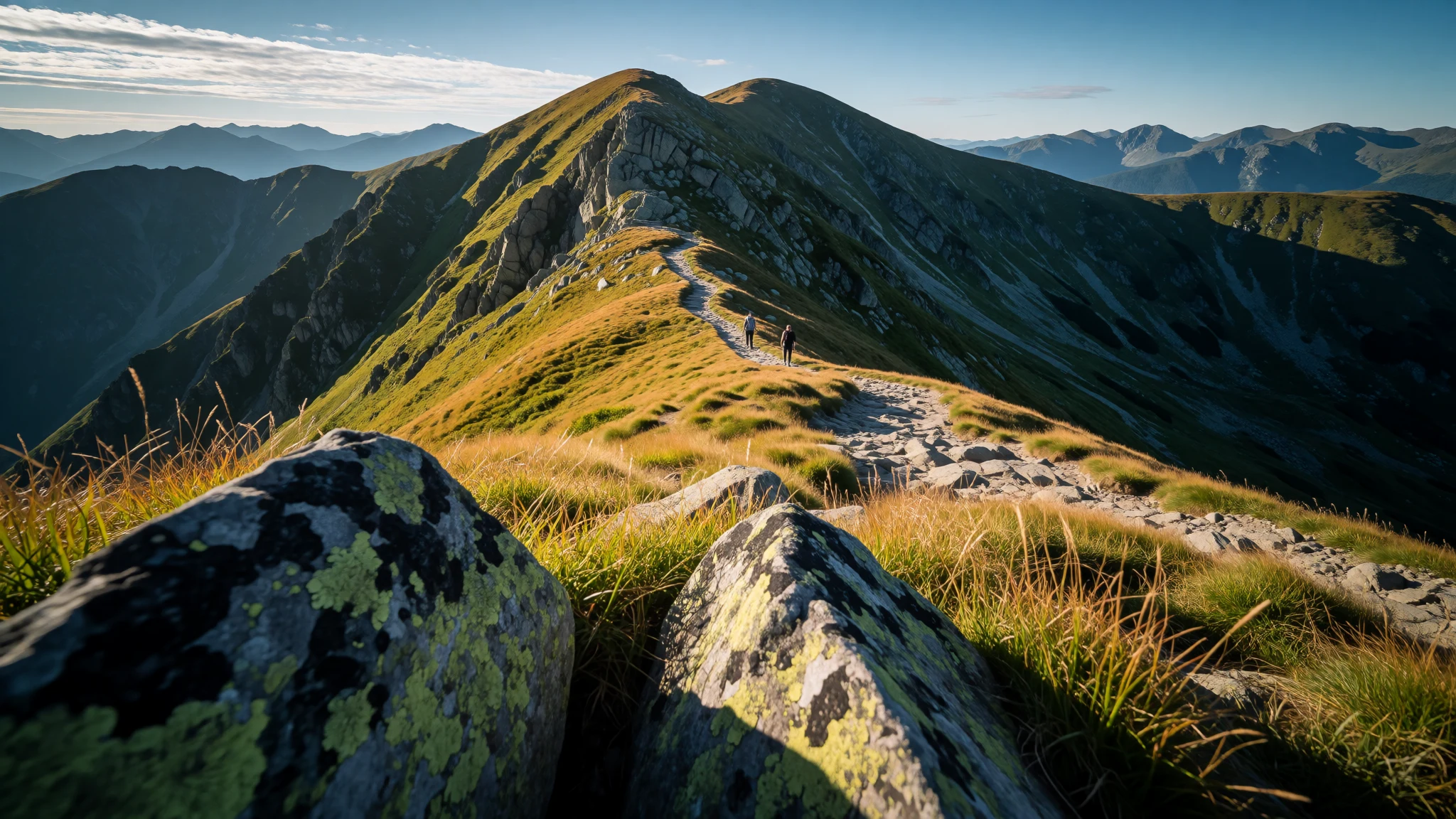
Low Tatras National Park is for mountain walkers who want forests, ridges and cave-and-peak days without big-city crowds.
The place
Low Tatras National Park (Slovak: Národný park Nízke Tatry; NAPANT) sits in Central Slovakia, spanning the Low Tatras mountain range between the Váh River and the Hron River valleys. The park and its buffer zone cover the full mountain mass, with the park created in 1978 under Slovak legislation and managed as a protected area rather than a single “tour” destination. Expect lots of hiking options across a mix of forested slopes, rugged terrain and viewpoint breaks.
Geographically, the park’s reach is practical for travellers: it’s large enough to feel like a wilderness trip, but it’s also threaded through by the valleys where towns and access routes gather. The highest peak in the park is Ďumbier, and from its area the landscape opens out into classic Central European mountain panoramas. Several major rivers rise below Kráľova hoľa peak, which gives the area that carved-valley look.
The visitor experience is seasonal. June to August is the warmest, and the wettest months are May to July, so plan for more rain and muggy conditions; September to October often feels more comfortable and clearer for long walks, while March–April and November–December are colder and drier, with the coldest conditions in winter. Crowds tend to be modest compared with famous Alps hotspots, but weekends and popular trailheads can still fill, especially when the weather turns fair.
If the idea is one or two big days on foot, plus evenings in nearby towns, Low Tatras works well: it’s a park that rewards planning around access, weather and the pace of mountain walking rather than chasing a single landmark.
Its story
The story of Low Tatras National Park is basically a long road from proposal to protection. Attempts to safeguard the region started as early as 1918 to 1921, then the post-war period brought a renewed push. In 1963, there was a proposal to set up the National Park Low Tatras under the name Central Slovakia National Park. Drafts didn’t just sit in a drawer: between 1965 and 1966, a separate plan for an Ďumbier-focused national park was considered, and the intention was to include both the north and south parts of the central territory.
From 1967 to 1968 the draft was reshaped again, with the aim of aligning the park’s creation with the Slovak National Uprising anniversary. Even with those political timings in mind, the process still took time; obstacles delayed the plan, and it wasn’t until 1978 that the national park was officially created by Regulation 119/1978 of the Slovak Socialistic Republic. That year also brought the published conditions for protection through Regulation 120/1978, defining how specific areas were to be protected.
Borders and protection zones didn’t stay frozen after that, either. In 1997 the park’s borders and zones were revised by government regulation No 182/1997. The result of all that back-and-forth is what travellers feel on the ground today: a large protected mountain landscape with rules that keep the nature intact, even as towns around the valleys continue to support hiking, access routes and day trips into the park.
What to see
- Viewpoints from Ďumbier — Ďumbier area
Low Tatras - view from Ďumbier peak (in the Ďumbier area) gives wide, exposed ridgeline views that make the range feel bigger than it looks on a map. On clear days, the valleys read like layers of green and stone.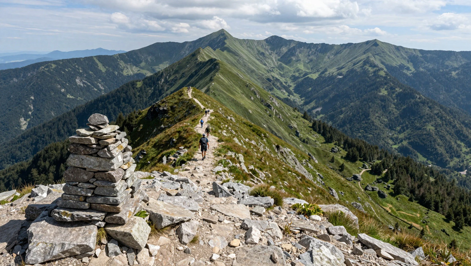
- Derese peak skyline — Derese area
Derese is a high-mountain feeling stop where the air and light can shift quickly. Aim for a moment when the clouds part and the skyline sharpens; it’s the kind of view that makes steep climbs feel worth it.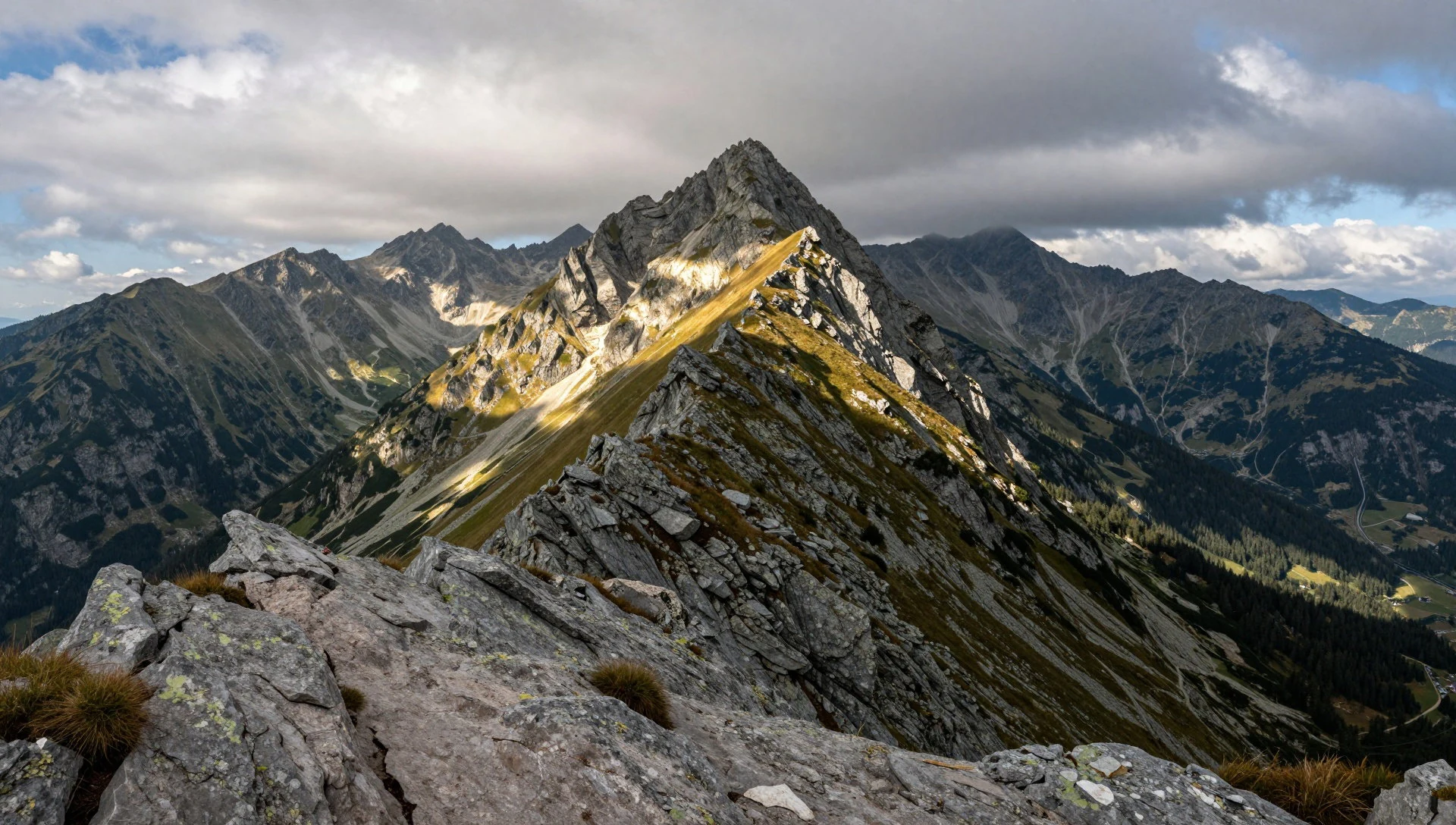
- Demanovská Cave of Freedom — Demänová valley
Demanovská Cave of Freedom is a strong “mix-day” option: a change from open ridges to underground chambers. It’s useful when weather is moody on higher trails, and it helps break up a hiking itinerary with something more sheltered.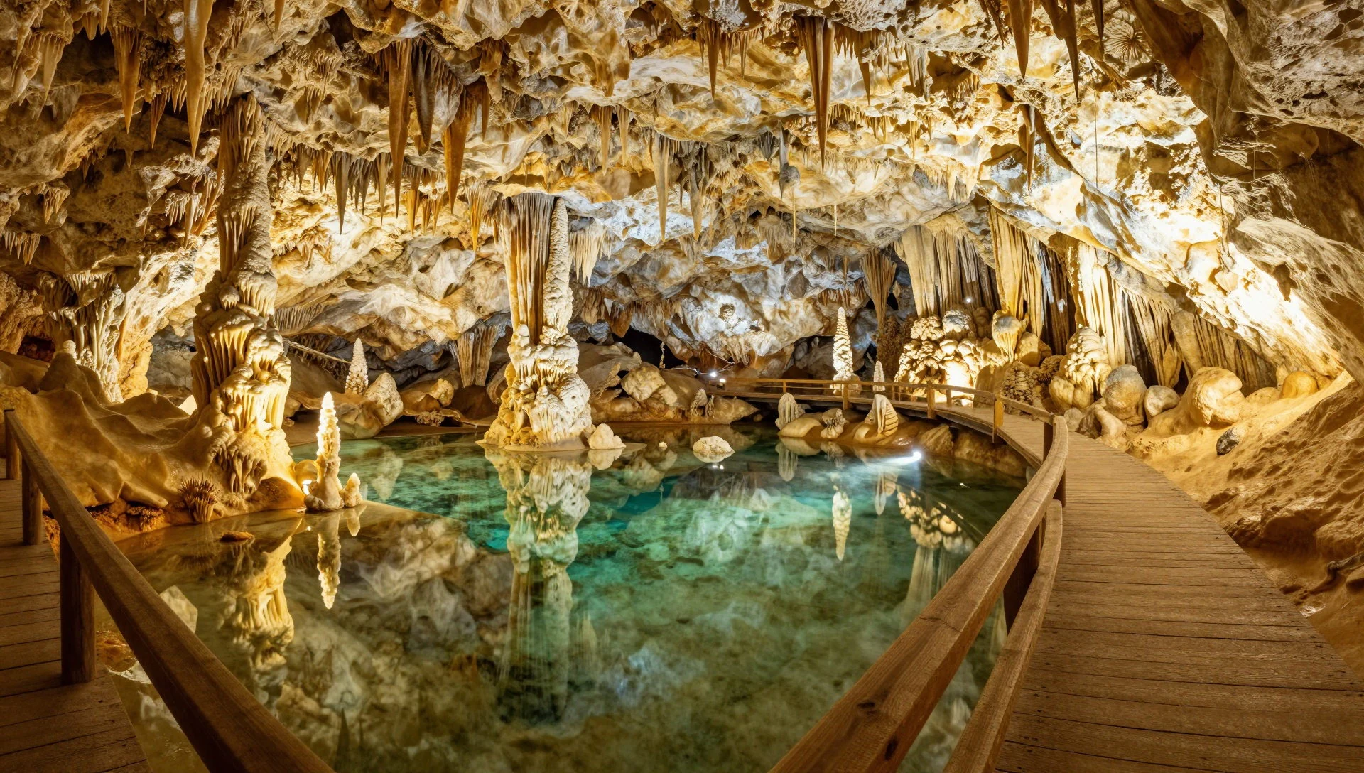
- Bencúrova veža tower views — Bencúrova veža area
Bencúrova veža brings a classic tower viewpoint feel—less about a long walk to a city-style landmark and more about a mountain structure framed by forest and slope. It’s ideal for photography and for a shorter, satisfying climb.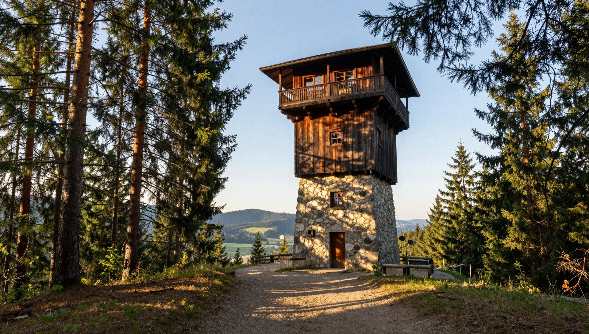
- Borovinsko & Ostrô ridge panoramas — Borovinsko & Ostrô
Borovinsko and Ostrô viewpoints are about reading the landscape from above: patchwork forests, valley bends and settlement shapes. These are great for late-day light, but still dress for wind and changing visibility on exposed edges.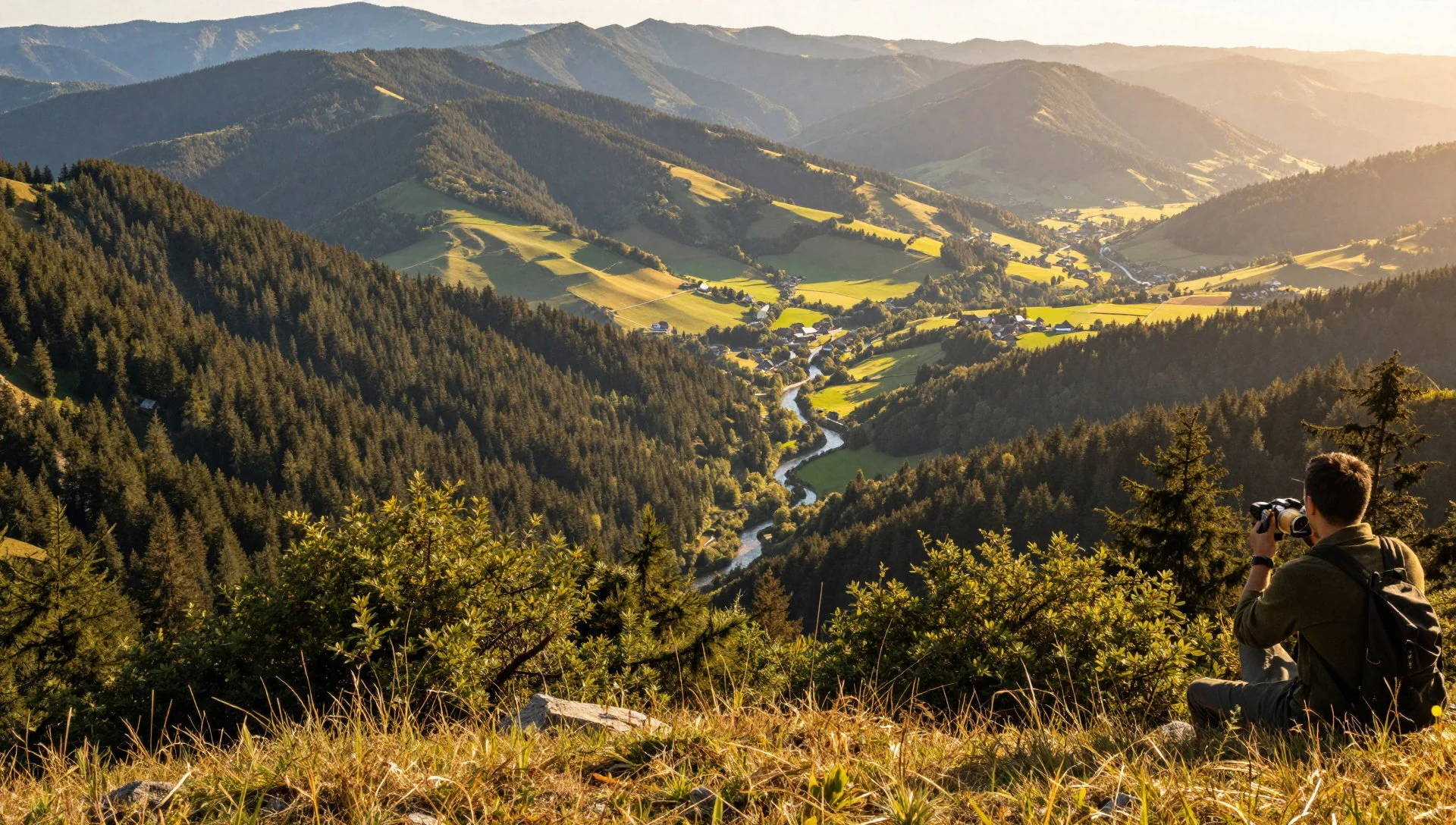
- Beňuš views from Hrachoviská — Hrachoviská above Beňuš
The view over Beňuš from Hrachoviská shows the park’s edges and how closely villages sit to mountain terrain. It’s a good reminder that Low Tatras isn’t only “wild”: local life and hiking routes overlap, especially around valley access points.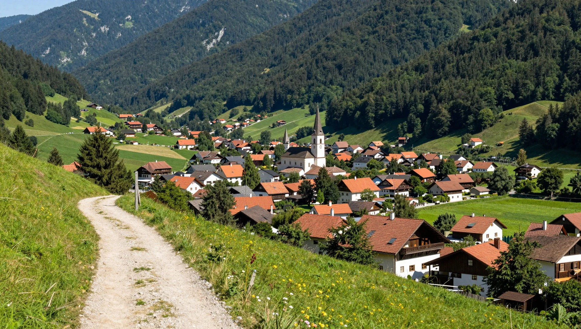
Culture
Low Tatras National Park sits in Slovakia, where people are generally friendly and calm, and travellers rarely run into serious trouble. Conversations can drift into history over a drink, so it helps to be curious rather than argumentative. Slovakia also has a warm hospitality culture: if someone invites you into their home, expect proper attention and an effort to feed and offer drinks.
When lunch happens, it’s often treated as the main meal of the day, so turning up hungry is part of being polite. If there’s an opportunity to bring a small gift, a bottle of wine or spirits, chocolates or a small bouquet are usually appreciated—offering money is typically seen as the wrong kind of gesture, as if you’re paying back hospitality.
Outside the home, mountain travel is its own etiquette: keep paths clear where trails are narrow, avoid littering at viewpoint stops, and be thoughtful around other walkers sharing narrow viewpoints.
Visitor etiquette: take your shoes off when entering homes where you’re offered indoor slippers, and be respectful if conversation shifts to local history.
What to wear
Low Tatras weather is the driver of what to wear, and that’s true even when the trail looks straightforward. Traditional Slovak dress varies by region, but visitors usually see embroidered folk garments, often with decorative stitching on shirts and vests, and a strong sense of textiles used for everyday wear in festive contexts. In and around villages near the park, people may wear folk-inspired clothing during cultural events rather than as day-to-day hiking kit.
For current wear, locals and hikers tend to dress practically: layers you can adjust, trousers that handle rough ground, and sturdy footwear for uneven paths. In summer, expect warmth and sun; in spring and autumn, bring a warm layer and a waterproof shell; and in colder months, assume wind on ridgelines.
What a visitor should pack for Low Tatras: trail shoes with grip (traction matters on wet rock), a waterproof jacket, a warm mid-layer for higher or exposed sections, and a hat or cap for sun. If visiting caves, pack something you can tolerate in cooler, damper air. Keep it modest around any community or private spaces, but prioritise safety for mountain footing.
What to eat
- Vinea — cafés and shops in nearby towns
Vinea is a grape-based soft drink, sold both carbonated and non-carbonated, including a white variant that tastes close to elderflower cordial. Look for it at cafés and shops around towns that serve local beverages.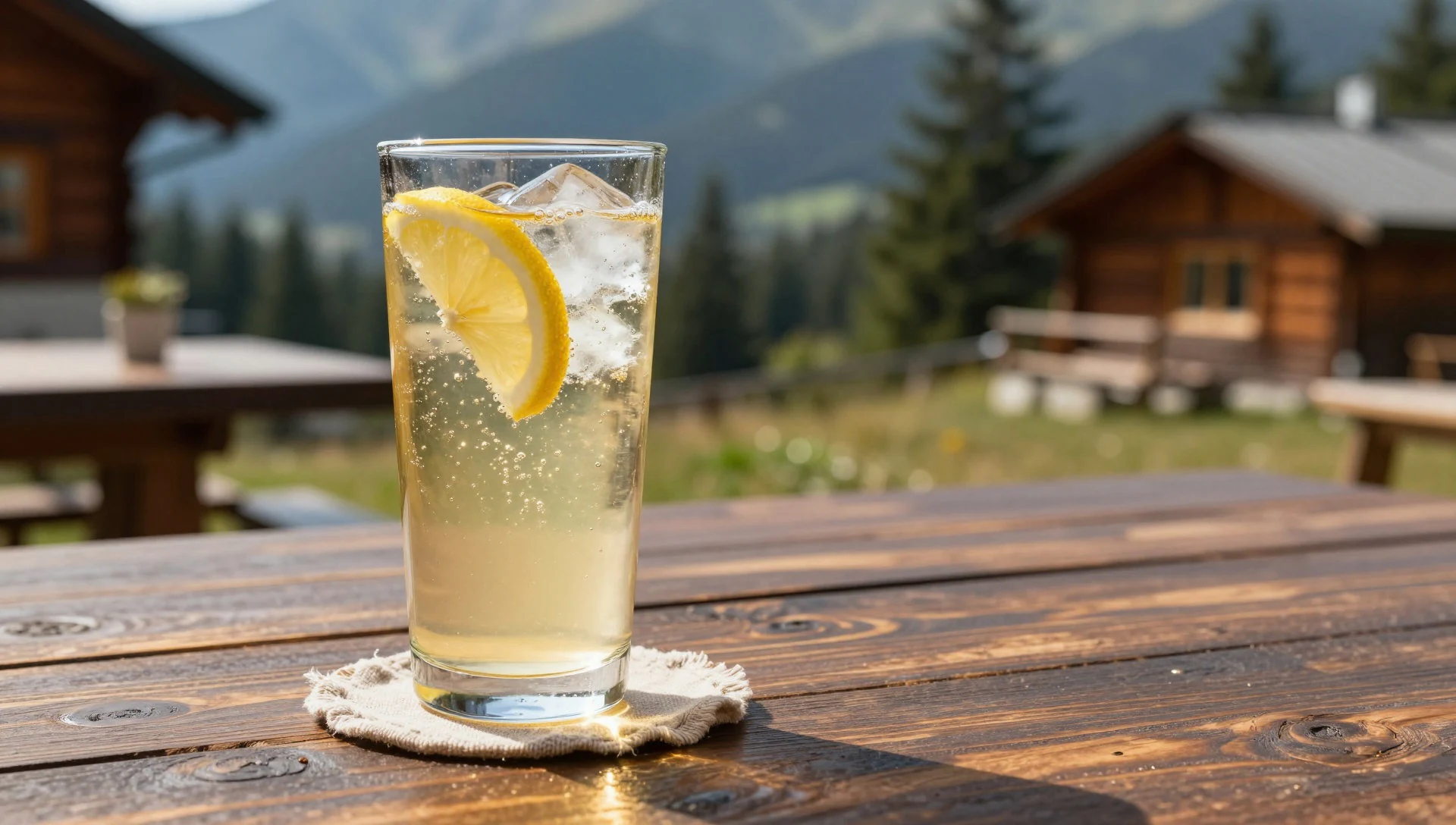
- Kofola — restaurants, snack places and supermarkets
Kofola is a popular cola-style soft drink in Slovakia, available on tap or bottled. It’s easy to spot in everyday restaurants, snack places and supermarkets when you’re stocking up before a hike.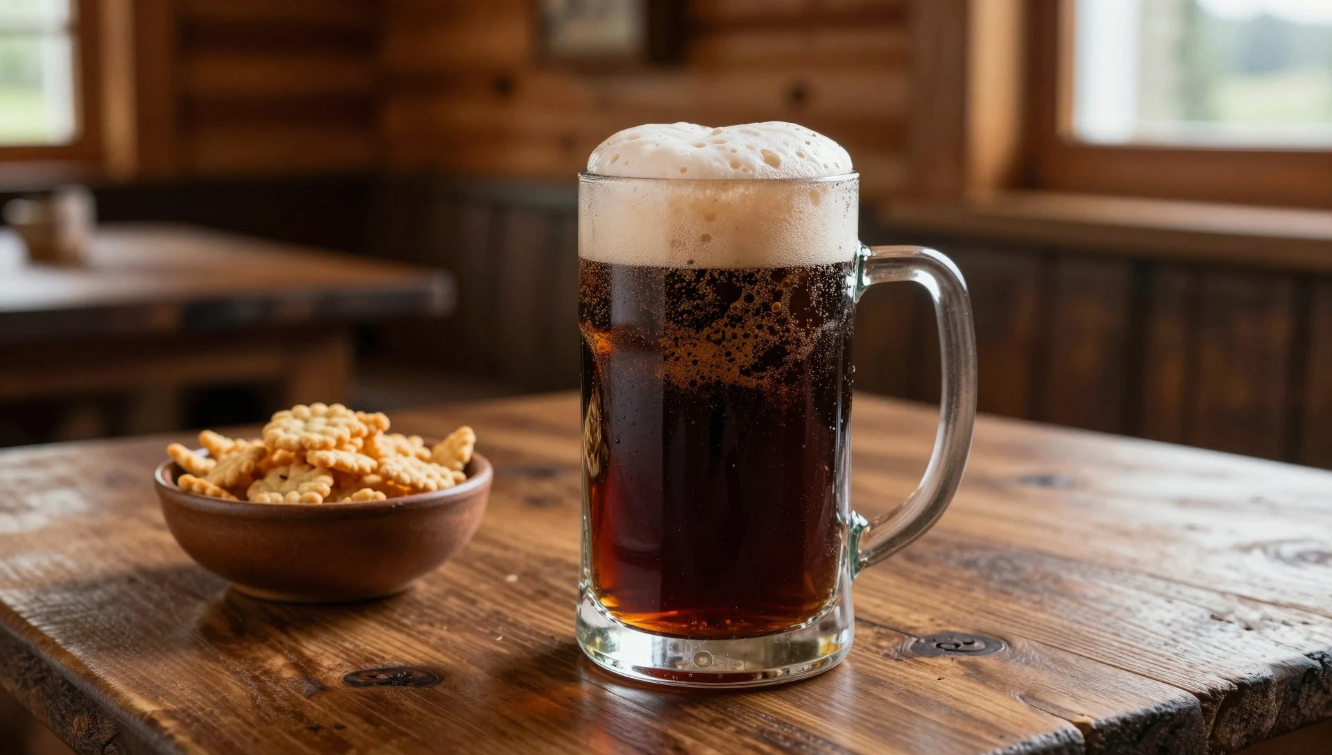
- Coffee — local cafés in towns near the park
Coffee is widely available across Slovakia, typically served in varieties such as espresso and a more regular “normal” coffee style. In towns near the park, cafés are a dependable stop for warming up after a walk. - Hot apple — drink counters in local cafés
Hot apple is a beverage sometimes offered in places serving warm drinks, with a flavour that’s closer to hot apple juice. It’s a comfortable option for cooler evenings when mountain air has taken the warmth out of you. - Borovička — restaurants and bars
Borovička is a Slovak gin made from juniper, and it’s one of the most typical alcoholic drinks to try. It’s usually served in small measures in restaurants and bars rather than as a casual mixer. - Hot chocolate — cafés that serve hot drinks
Hot chocolate is popular, especially when the day turns chilly. In mountain regions it often feels like a simple reward after colder weather hiking, and you can find it in cafés that cater to winter warm-ups.
Plan it
Best time. May–July is the rainiest stretch; August is typically the hottest month; and March–April plus September–October are usually the most comfortable for longer walking. For autumn colour, October–November works well.
How long. 3–4
Getting there. Fly into a major European hub, then connect onward to Slovakia; for a park visit, use the nearest regional transport options to the mountain valleys, and plan the last leg by road to trailheads.
Budget. mid
Tips
- Pick dates based on weather: spring and late autumn are generally easier for longer ridge days.
- If aiming for high viewpoints, start early to beat afternoon cloud and crowds on popular routes.
- Pack a waterproof layer and quick-dry clothing even in fair forecasts; mountain weather shifts fast.
- Bring some cash for small purchases around trail access points and markets.
Etiquette
- Remove shoes where you’re expected to step inside and put on offered slippers.
- Keep voices low on narrow viewpoints and don’t block paths for photos.
Nearby
Sources
- Wikidata Q1767601 (CC0)
- Wikipedia (rev 1362851524) (CC BY-SA 4.0)
- Wikivoyage (rev 5378357) (CC BY-SA 4.0)
- Photo photos/01-derese2.jpg (CC BY-SA 2.5)
- Photo photos/02-low-tatras-view-from-umbier.jpg (CC BY 3.0)
- Photo photos/03-demanova-cave-of-freedom-30.jpg (CC BY-SA 2.0)
- Photo photos/04-anton-n-hude-ek-z-n-zk-ch-tater.jpg (Public domain)
- Photo photos/05-benc-rova-ve-a.jpg (CC BY-SA 4.0)
- Photo photos/06-be-u.jpg (CC BY-SA 4.0)
- Photo photos/07-borovnisko-a-ostr-2008.jpg (CC BY-SA 4.0)
- Photo photos/08-liptovsk-mikul-z-vod-savencia-f-d.jpg (CC BY-SA 4.0)


