Los Glaciares National Park
Los Glaciares National Park, Argentina
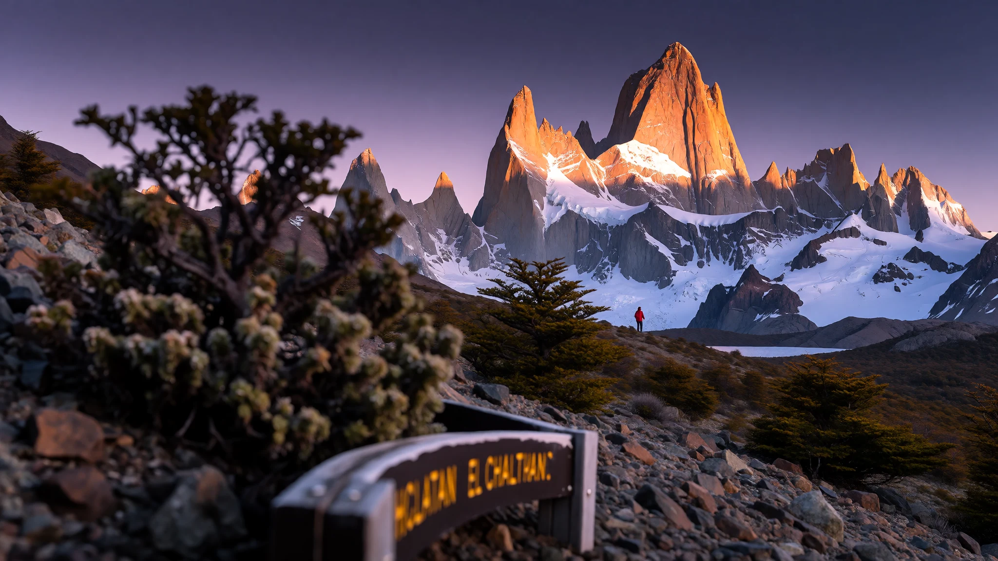
Los Glaciares National Park is where Patagonian ice meets deep lakes and rugged peaks—big scenery with real logistics.
The place
Los Glaciares National Park (Parque Nacional Los Glaciares) is Argentina’s federal protected area in Santa Cruz Province, split between a northern zone around Lake Viedma and a southern zone focused on Lake Argentino. The park’s name points to the ice cap that feeds its glaciers, and that’s the core of the experience: blue ice fronts, icy water, and viewpoints set against wind-scoured mountains.
The park’s landscape is organised around the two big lakes, with a central, less-visited zone between them. The south is where the most straightforward “classic glacier day” tends to happen, especially around El Calafate. Here, ice flows into Lake Argentino, and you’ll find the famous Perito Moreno Glacier plus boat-accessible glaciers like Upsala and Spegazzini. The northern side is anchored by the El Chaltén area, where jagged peaks and trekking-heavy days sit alongside ice and lake scenery.
Crowd levels vary a lot. Perito Moreno draws day-trippers and repeated visits because the glacier’s front can be approached by land and staged for viewing. By contrast, many other routes are quieter and more weather-dependent; in practice that means planning around clouds, wind and trail conditions, not just putting dates on a calendar.
Season matters for comfort more than for scenery: winters can bring snow, while summer brings longer daylight but more people. The good news is that the park’s structure makes it easy to base yourself in El Calafate for the south or El Chaltén for the north, then choose whether to go “guided and direct” or slower and more independent.
Its story
Los Glaciares National Park has a way of making time feel elastic. In one place, Perito Moreno Glacier can look almost still, until a rumble reminds everyone that glaciers move with or without human attention. Then, a short change of viewpoint turns the same ice wall into something else entirely: darker crevasses, brighter ice ridges, and lake water that looks calm until you’re close enough to notice the churn.
A trip here is usually a two-base story. El Calafate works as the practical launchpad for the southern attractions around Lake Argentino, with easy access to day excursions. El Chaltén, by contrast, is built around active days: hiking and trekking in the Fitz Roy–Cerro Torre landscape, where the mountains read sharp and angular rather than rounded.
Logistics also shape the mood. Some glaciers are best approached by boat, so you’re at the mercy of sea conditions and the timing of departures. Others are reachable by land, which means fewer variables and often bigger queues. If the weather turns, the plan shifts fast—ponchos and layers matter, and “visibility” becomes the real currency.
What surprises many first-timers is how much of the park is about boundaries and rules. For climbing and trekking in more remote areas, registration at the Park Information Center is mandatory, and it’s also required for hiking trails during the May through September window. It’s not bureaucratic fluff; it’s part of keeping people safe in a place where weather and terrain can change quickly.
Come with realistic expectations: not every day is blue-sky postcard weather, but even under cloud and spindrift, the scale of ice and the steadiness of the mountains still land. It’s Patagonia that feels lived-in, not staged.
What to see
- Perito Moreno Glacier — Lake Argentino (Perito Moreno area)
Perito Moreno Glacier is a standout ice front on Lake Argentino, with viewing areas that make it possible to experience the glacier’s icefalls and wall-like face up close. It’s the most “by-land” glacier option, so expect heavier footfall on peak days and frequent changes in light.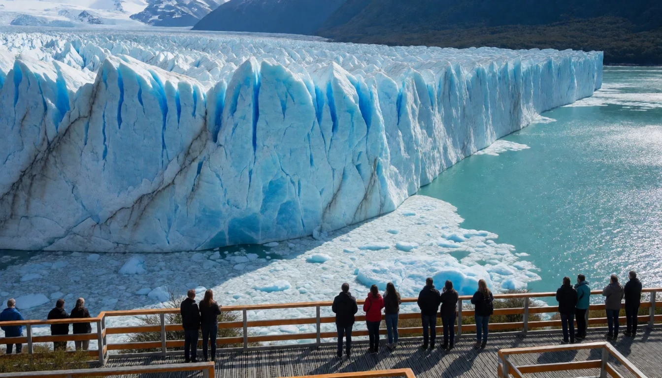
- Upsala Glacier — Lake Argentino (southern excursions)
Upsala Glacier sits on Lake Argentino and is usually reached by boat excursions. The approach gives a different feel than a land-based viewpoint: you’re moving across water, watching the glacier wall alongside icebergs and changing reflections, with weather and wind shaping how long you can linger.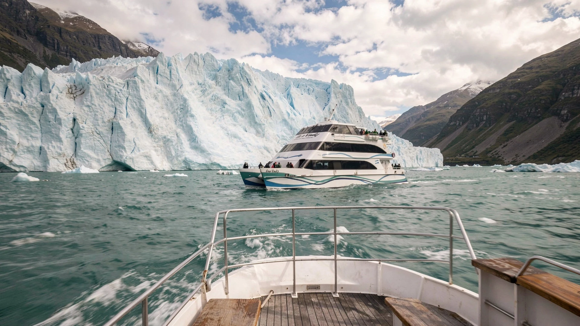
- Fitz Roy & the Cerro Torre massif — El Chaltén region (north)
The Fitz Roy area is the trekking heart of the park’s northern side, with jagged peaks that pull climbers and hikers year after year. Cerro Torre is closely associated with the same dramatic skyline, and the trails here are less about quick views and more about long effort and constant weather awareness.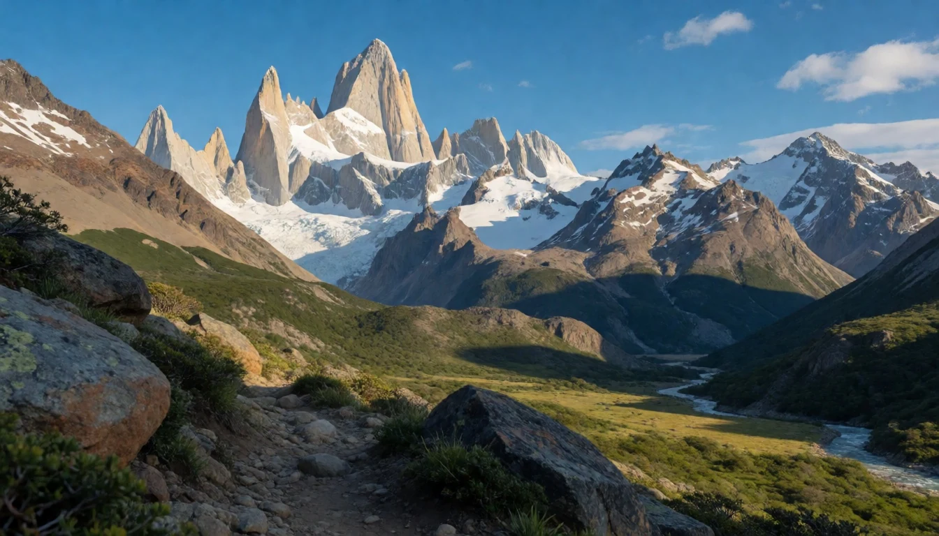
- 3 Lago Roca & Cerro Cristalles — Southern park (Lago Roca area)
The Lago Roca region in the south is generally less frequented, which can feel like a relief after the busier glacier days. It’s a good fit for panoramic hikes toward Cerro de los Cristalles (Cerro Cristalles), and it also pairs naturally with longer, multi-day trekking plans in the wider southern landscapes.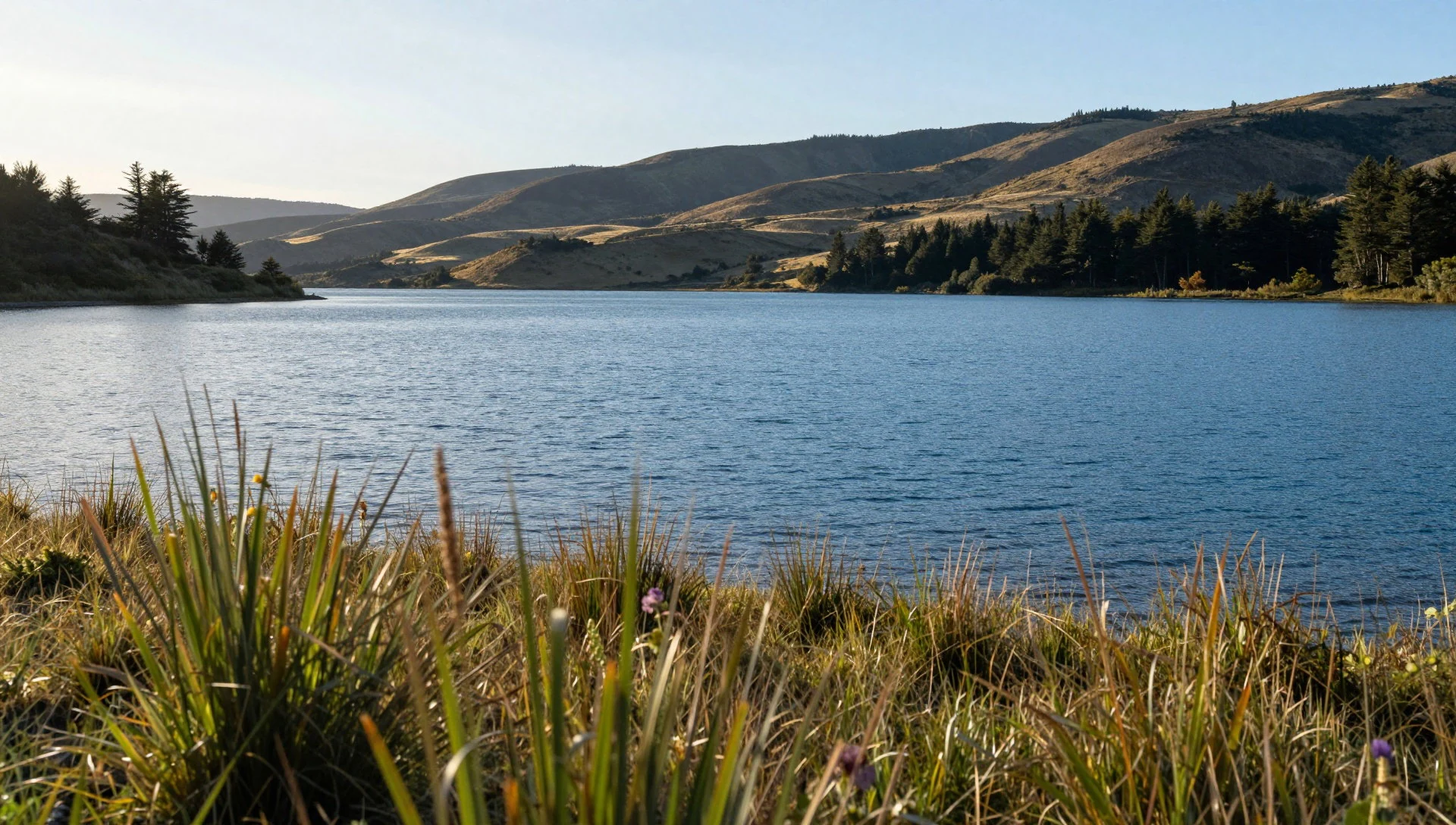
Culture
Los Glaciares National Park is managed as a working protected area, not a theme park, so the “culture” is mostly about how visitors move through wild land. The park is divided into two big sectors with different access patterns: the south is often used for glacier excursions from El Calafate, while the north centres on El Chaltén and the climbing and trekking world around the Fitz Roy–Cerro Torre peaks.
A real part of the visitor rhythm is planning for safety and permissions. If you plan to climb or trek through isolated sections of the park, or walk any of the trails between May and September, registering at the Park Information Center is compulsory. That’s the official side of “respect”: being informed, being on the right track, and not treating remote trails as casual walks.
In day-to-day terms, it also shows up in how people behave around ice and viewpoints. Boats and land viewing areas can concentrate crowds, and wind can make it hard to hold cameras steady. The best approach is to pause, watch carefully, keep paths clear, and accept that weather determines what you can see.
Visitor etiquette: keep to marked routes, follow registration rules for remote hikes, and avoid wandering into closed or unsafe areas.
What to wear
In Los Glaciares National Park there isn’t really a single “traditional outfit” in the tourist sense; the practical style is all about Patagonian weather. Patagonia’s conditions can swing quickly—cool temperatures, wind, and snow in colder months are part of the picture—so clothing is functional rather than ceremonial.
Locals and guides typically dress in layers: warm insulating mid-layers, wind-resistant outer shells, and trail-ready footwear. You’ll also see gloves, hats and neck warmers because hands and faces feel the cold first. In summer, people lighten up a little but still wear proper outer layers because the breeze around the glaciers can cut through.
For visitors, pack for wet and cold exposure, even if the day starts clear. A waterproof jacket, warm layers, quick-dry trousers or leggings, and insulated socks make a bigger difference than “nice” clothes. Closed trainers or sturdy hiking boots are the sensible choice—slippery trails and boat-deck surfaces don’t reward flimsy soles. If a day includes trekking, plan for breathability plus warmth, and keep a spare layer in a dry bag.
What to eat
- Asado (Argentine barbecue) — parrillas in El Calafate and El Chaltén
After cold outdoor hours, asado is the obvious comfort food. Look for it in family-run parrillas and weekend grill spots around El Calafate and El Chaltén, often with sides like bread, salads and roasted vegetables.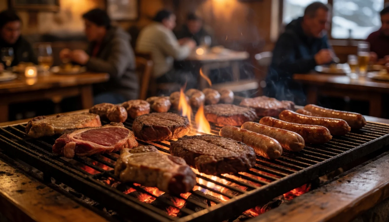
- Empanadas — bakeries and takeaway counters in town centres
Empanadas are easy to grab before a day excursion—especially the kind sold by bakeries and small take-away counters. They come in many fillings, so it’s a handy snack option when time and transport don’t leave much room for a sit-down meal.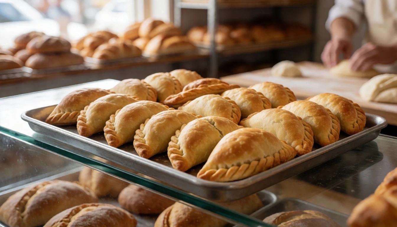
- Locro (hearty stew) — local eateries on colder evenings in El Calafate and El Chaltén
Locro is a warming, filling stew that suits Patagonia weather. It’s commonly served in seasonal menus or in local eateries that keep winter comfort food on rotation, often with beans and starchy ingredients for staying power. - Chocolate with pastries — cafés near main squares
Patagonia’s cafés often do thick hot chocolate with sweet pastries—exactly the kind of stop that resets numb fingers after a windy lookout. Search in cafés near main plazas for snacks that work as a mid-afternoon break. - Patagonian lamb dishes — restaurants serving regional meat dishes
Lamb is a frequent menu feature in southern Argentina. In restaurants and simpler family dining rooms, you’ll often see lamb as a main with roasted potatoes or seasonal vegetables, a solid choice for recovery after trekking-heavy days.
Plan it
Best time. March–April for clear spring-like days and autumn colour; October–November for longer daylight and comfortable hiking conditions; winters can bring snow and frequent cold, so pack for colder exposure.
How long. 3–4
Getting there. Fly to El Calafate (served by flights from Buenos Aires, San Carlos de Bariloche, Río Gallegos and other Patagonian connections). From there, reach the park’s southern starting points for glacier days; for the northern side, base around El Chaltén and use road connections between Calafate and Chaltén.
Budget. mid
Tips
- Do Perito Moreno first if weather is changeable, since conditions affect what you can see from viewpoints and on excursions
- Plan for wind: dress in layers and keep a waterproof outer shell ready
- If going beyond easy walks, allow time to complete the required registration at the Park Information Center for remote climbing/trekking and for May–September trail hiking
- If choosing boat-based glacier options, be flexible with your day and build in buffer time around departures
- Carry water and snacks for the trail—long trekking days can mean no quick shop stops
Etiquette
- Follow the marked trails and any closure signs around viewpoints and along trekking routes
- Register where required for climbing and trekking, and keep proof/requirements handy
- On busy glacier days, stand back from edges and keep pathways clear so others can pass safely
Nearby
Sources
- Wikidata Q215992 (CC0)
- Wikipedia (rev 1378692888) (CC BY-SA 4.0)
- Wikivoyage (rev 5344623) (CC BY-SA 4.0)
- Photo photos/01-perito-moreno-argentini.jpg (CC BY 3.0)
- Photo photos/02-emblema-parque-nacional-los-glaciares.jpg (CC BY-SA 2.0)
- Photo photos/03-glaciar-perito-moreno22-argentina.jpg (CC BY 3.0)
- Photo photos/04-looking-out-from-the-observation-deck-of-the-perito-moreno-g.jpg (CC0)
- Photo photos/05-upsala-glacier-2.jpg (CC BY 2.5)
- Photo photos/06-another-blue-lake-fitz-roy-trail-parque-nacional-los-glaciar.jpg (CC BY 2.5)
- Photo photos/07-ar-los-glaciares-pn-c-fitz-roy-0702-010-17189899806.jpg (CC BY-SA 2.0)
- Photo photos/08-ar-los-glaciares-pn-c-fitz-roy-0702-011-16593397224.jpg (CC BY-SA 2.0)


