Los Alerces National Park
Los Alerces National Park, Argentina
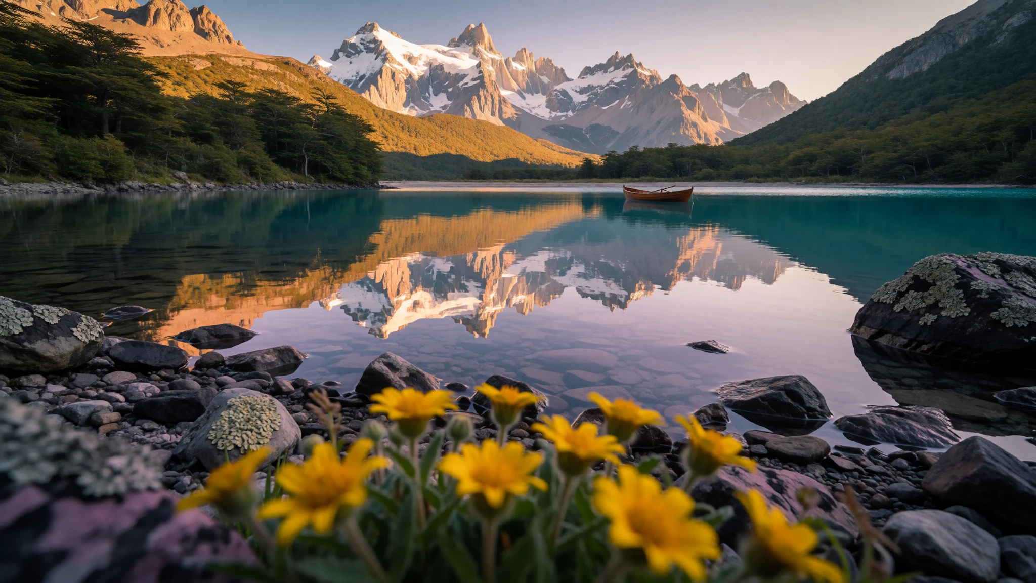
Los Alerces National Park pairs glacial lakes and rivers with temperate forests and rare alerce trees in a rugged, lightly developed landscape.
The place
Los Alerces National Park (Parque Nacional Los Alerces) sits in the Andes of Argentina’s Chubut Province, part of Patagonia’s long, cold-browed country. The park’s western edge lines up with the Chilean border, and the scenery is the result of repeated glaciations: moraines, glacial cirques, and clear-water lakes connected by a chain of short river stretches.
What makes the place feel distinct is the forest. Lower slopes are dominated by dense temperate forest, with vegetation giving way to alpine meadows as elevation rises and rocky Andean peaks take over. A signature feature is the alerce forest—home to the alerce tree, a globally threatened species. The alerce is long-lived, and the stands inside Los Alerces are known for their strong conservation.
Practically, the park is a landscape of water and terrain more than a single “viewpoint corridor”. The protected area is split into the formally declared national park and an adjoining reserve; most visitor development tends to sit in the reserve. The shape stretches roughly along the border in a north–south line and reaches out from the Andes eastwards in a rough rectangle. Nearly everything drains into the Futaleufú River system, though river names shift along the course.
If Patagonia elsewhere can feel open and windswept, Los Alerces brings a wetter, more forested side of the region: cool air, misty cloud bands from the Pacific, and lakes that hold the light differently throughout the day.
Its story
Los Alerces National Park feels like Patagonia’s “wet and wooded” chapter. The logic of the landscape is simple: clouds push in from the Pacific across the Andes on the Chile–Argentina border, then the air swings from rainier conditions on the western side to a drier rain-shadow farther east. That shift helps explain why the park’s forests look so lush in many places, while other areas feel more exposed and wind-shaped.
The park’s modern story starts with glaciers. Long after ice carved the basins, the water stayed. Lakes linked by short, sometimes turbulent river sections create a route through the park without asking for a single grand climb. Lake Rivadavia marks the start of the chain, and the outflow becomes the Rivadavia River before reaching smaller waters further along the system.
On the ground, the walking rhythm often reads as “climb, pause, descend” rather than “walk and keep going”. The lower elevations tend to support oceanic or humid continental climate patterns, while temperatures and conditions become colder with higher altitude. Freezes can happen in any month, so the park’s seasons are less about soft clothing and more about persistent layers and weather patience.
Then there’s the alerce. In a region where time can feel like it’s been frozen and returned to the land, these old trees add a different kind of scale—one measured in centuries and millennia rather than a holiday itinerary. Many visitors come for that combination: moving water, glacial landforms, and forest that feels both ancient and actively protected.
What to see
- Alerce Milenario — Lakes route (boat access)
Alerce Milenario is a landmark old tree within Los Alerces National Park, strongly tied to the park’s alerce forest identity. Access is by boat, making arrival feel like part of the journey.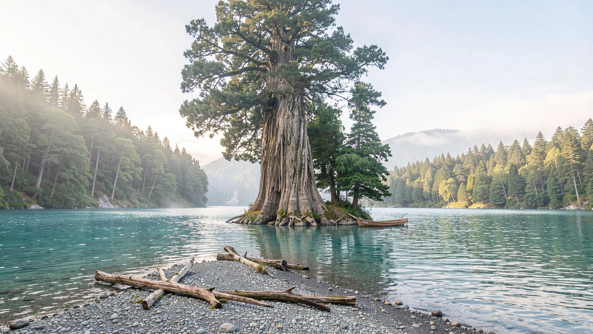
- Torrecillas Glacier — Western lake areas (boat access)
Torrecillas Glacier is the park’s glacial highlight, reachable by boat rather than a direct trailhead. The contrast between the ice and the darker forested backdrop is what stays with people—especially on days when light catches the edges and meltwater colour shifts.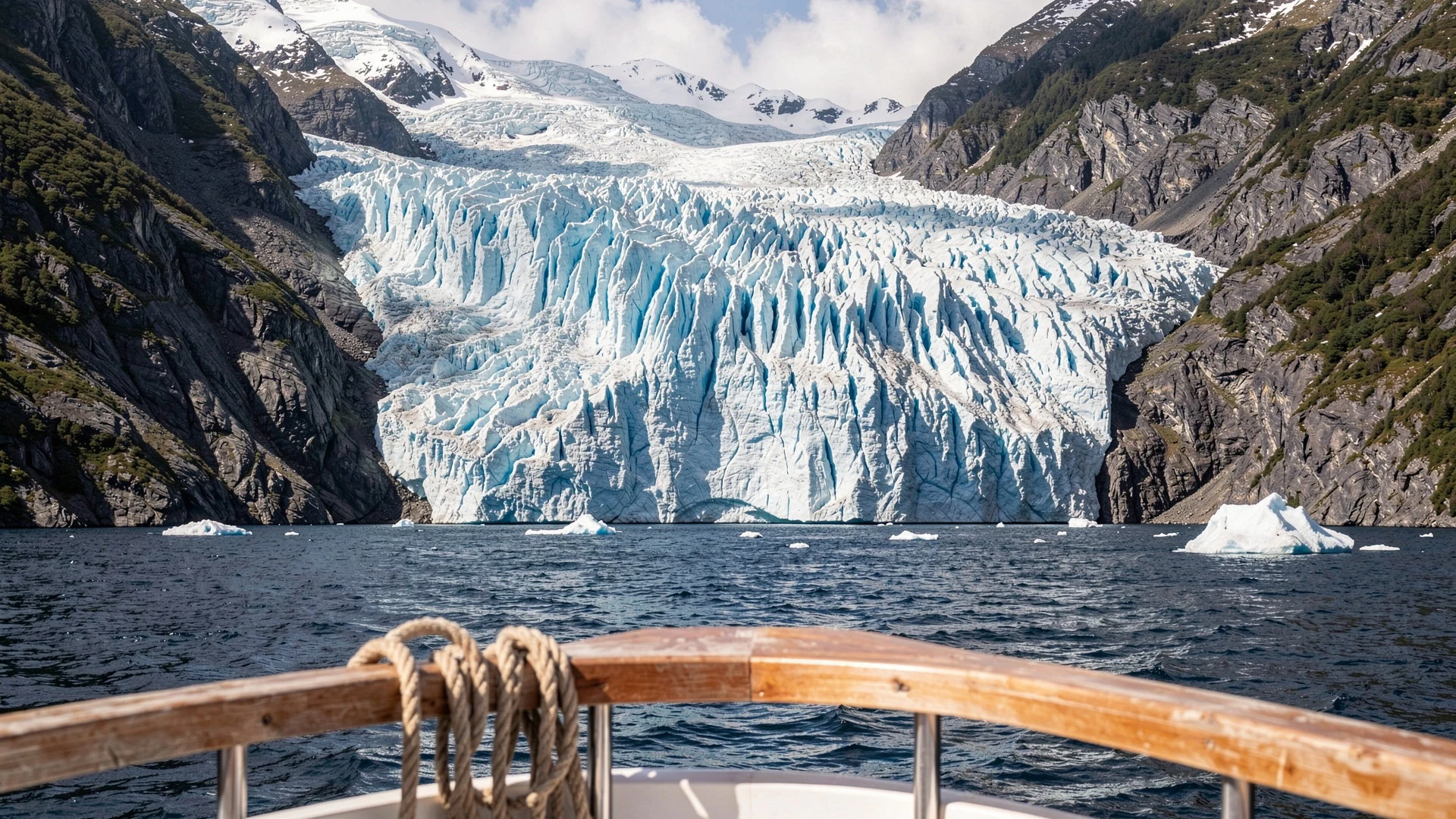
- Alerce forest stands — Park forest zones
Beyond individual trees, the heart of Los Alerces is its alerce-dominated forest. Walkable viewpoints and quieter stretches often sit under tall trunks and layered understory, with conditions that can feel cool and damp even when the sky clears.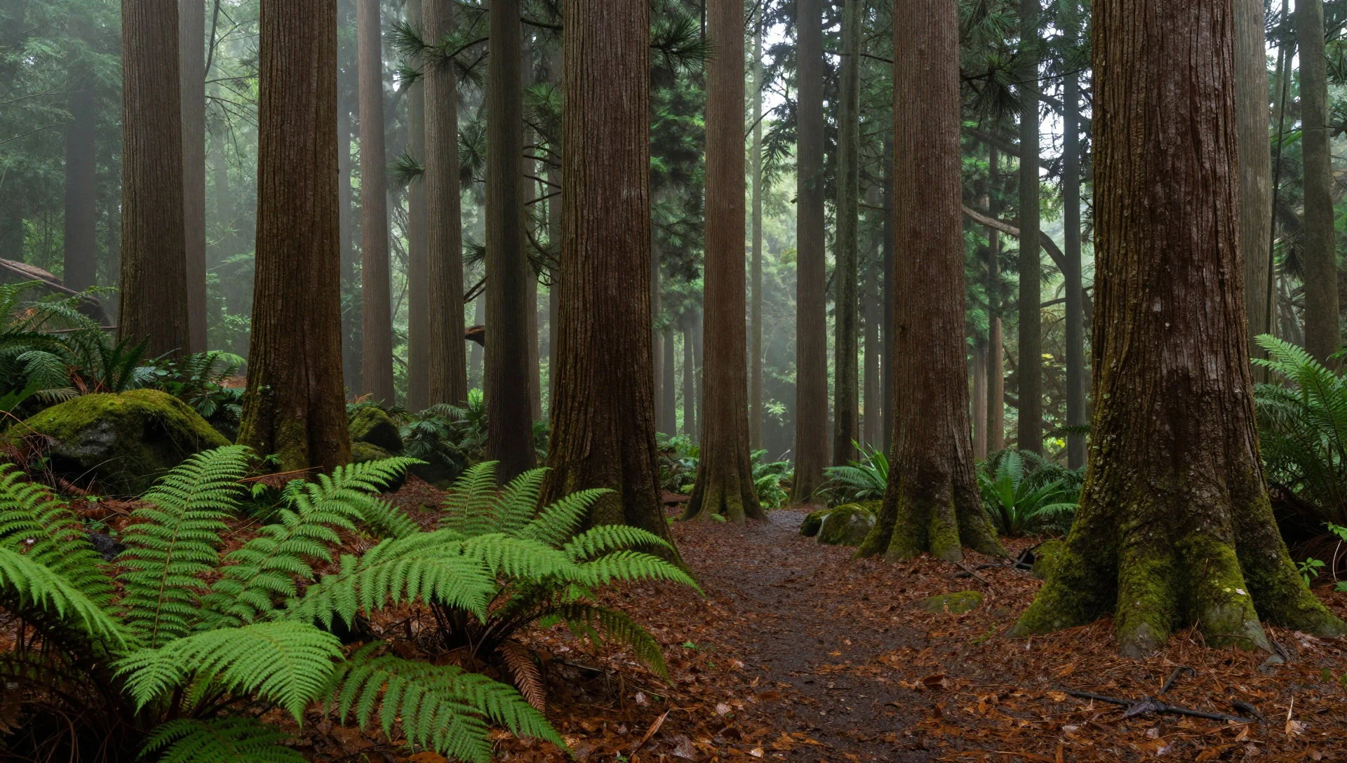
- Cerro de los tres picos — Higher terrain around the park
Cerro de los tres picos is a striking rocky mass associated with the park’s higher, wilder terrain. It’s the kind of feature that makes sense of why alpine meadows appear higher up—less forest canopy, more open sky, and wind that changes quickly.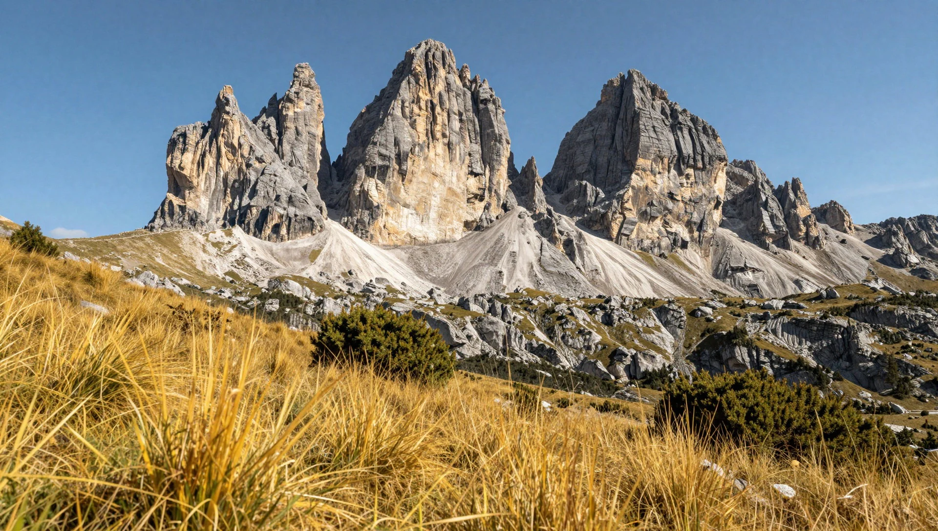
Culture
Los Alerces National Park is a place where wildlife and plant life depend on the park staying calm and undisturbed. The alerce forest in particular draws visitors who want to see something rare without turning it into a staging area, so the tone tends to be practical and quiet: keep to marked routes, avoid trampling seedlings, and give space to other groups at boat landings and viewing spots.
Because conditions can change fast—rain, cloud, and wind are part of the mood—people also tend to come prepared and move with care. If a trail looks soft from wet weather, it’s usually the ground that’s least forgiving; sticking to the firm lines is more important than “getting the perfect angle”.
Photography is welcome, but the forest is not a backdrop for disrupting others: wait for people to clear and don’t block narrow paths. Boat-based attractions can become crowded when more than one group arrives at once, so keeping conversations low helps everyone hear nature instead of competing with it.
Visitor etiquette: keep to marked paths, avoid disturbing alerce trees and seedlings, and keep voices low—especially at boat landings and narrow viewpoints.
What to wear
Los Alerces National Park is a mountain-and-forest destination, so clothing needs to handle cool temperatures, damp air, and quick weather shifts. Even at lower elevations, expect layers: a warm base layer, a fleece or insulated mid-layer, and a waterproof outer shell for rain. Higher up, conditions get colder, and freezes can occur in any month, so pack for cold even outside the peak months.
Traditional dress isn’t the focus here; most visitors dress like hikers. In terms of what people wear now, expect practical outdoor layers—water-resistant jackets, trekking trousers, and quick-drying socks—because walking surfaces can be wet. Footwear matters: sturdy waterproof hiking boots or shoes with good grip are the safest bet for muddy sections and uneven ground.
For a comfortable visit, carry a hat or cap for sun breaks and a beanie for cloudy, windy moments. Gloves can be worth it when the air feels sharp around the lakes. A small daypack helps keep essentials dry, and a compact rain cover is useful when showers come in without warning.
What to eat
- Asado-style grilled meats — Restaurants at accommodation and managed campsites in/around the park
Expect grilled meat plates at eateries connected to mid-range and splurge accommodation, as well as managed campsites around Los Alerces. These places usually serve hearty, warming meals after a day on the lakes and trails.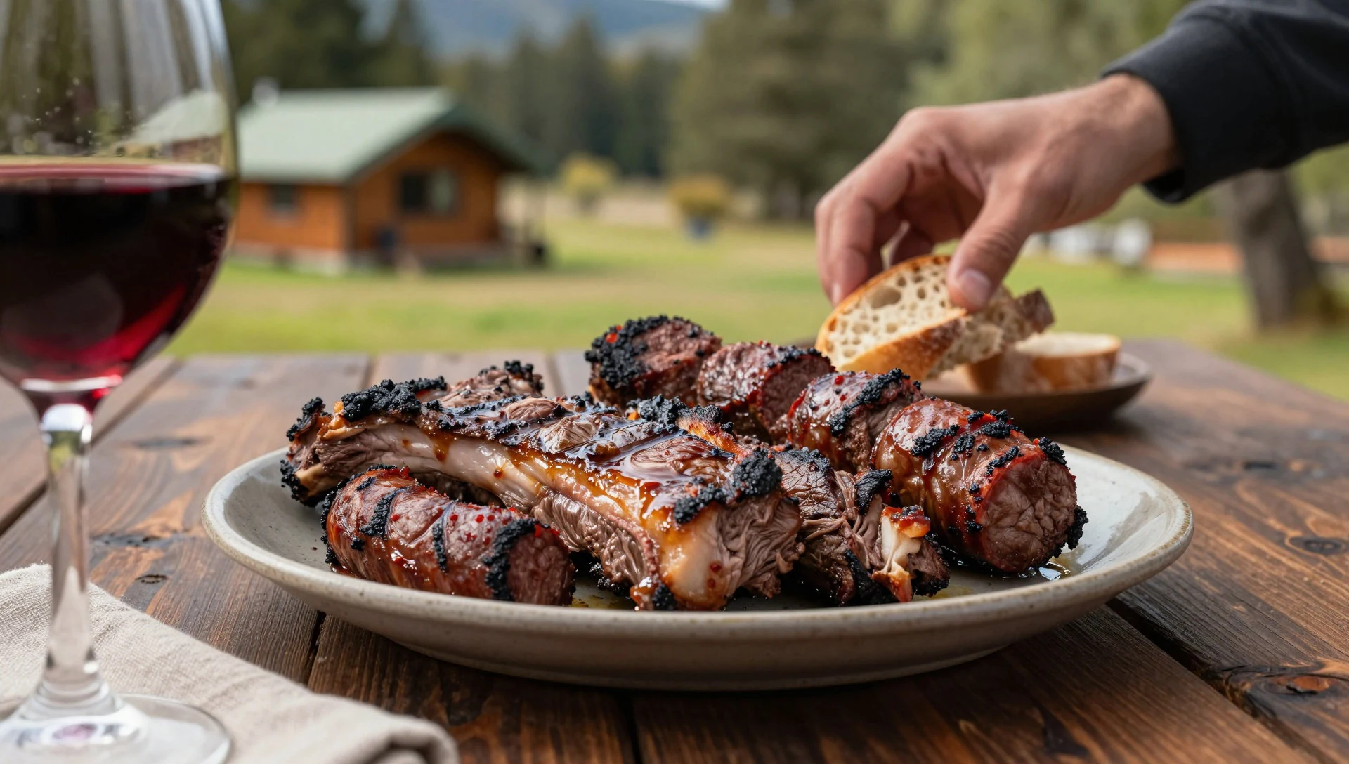
- Patagonian lamb and sausages — Restaurant menus linked to park accommodation
Many park-area menus lean into local lamb and sausage options, often alongside simple sides. The exact combinations vary by the restaurant, but the style is typically filling and best after cold, wet afternoons.
- Warm soups and stews — Restaurants listed on the obtained park map
When weather turns, warm soups and stews show up on menus as comfort food. They’re an easy match for post-hike hunger and can be found through the park map’s listed dining options. - Baked or pan-fried regional breads — Eateries connected to managed campsites and accommodation
Look out for breads served with meals—sometimes baked, sometimes more like flat or pan-fried breads. These show up in mid-range spots and help balance the colder climate with something simple and filling. - Coffee and sweet pastries — Local cafés near park access points and accommodation areas
After excursions—especially on chilly mornings—coffee breaks can be a welcome reset. Cafés and restaurant counters around the park often offer pastries that work well as a light snack between longer meals.
Plan it
Best time. January to February and December are the warmest months, while June to August are the coldest; rain is heaviest in May and June, with generally drier conditions in September and October.
How long. 3–4
Getting there. Fly into Argentina’s region via the nearest city, Esquel, then continue by road toward the park entrance area; once inside, access to the classic lake-and-glacier highlights is typically handled via the routes and boat journeys arranged locally.
Budget. mid
Tips
- Build in time for boat-access attractions, since they set the pace of the day.
- Start earlier when possible to make the most of the calmer morning light over lakes and forest.
- Pack for damp conditions and sudden freezes; layers are more useful than one “warm” outfit.
- If driving, be ready for strenuous dirt roads and plan for slower progress.
- Carry the right mix of supplies for the day, because camp and lodge dining is often tied to accommodation or the park map listings.
Etiquette
- Stay on marked paths to protect the forest floor and sensitive vegetation.
- Keep voices down in quiet areas and don’t block narrow routes while stopping for photos.
- When arriving by boat, keep movement organised and respect other groups’ space at landings.
Nearby
Sources
- Wikidata Q828291 (CC0)
- Wikipedia (rev 1362850831) (CC BY-SA 4.0)
- Wikivoyage (rev 5328718) (CC BY-SA 4.0)
- Photo photos/01-cerro-y-glaciar-torrecillas-lago-men-ndez-parque-nacional-lo.jpg (CC BY 3.0)
- Photo photos/02-alerce-o-lahuan-parque-nacional-los-alerces-chubut-argentina.jpg (CC BY 3.0)
- Photo photos/03-parque-nacional-los-alerces-argentina-panoramio-1.jpg (CC BY 3.0)
- Photo photos/04-cerro-de-los-tres-picos-parque-los-alerces.jpg (CC BY-SA 4.0)
- Photo photos/05-carretera-austral.png (CC BY 3.0)
- Photo photos/06-alerce-parque-nacional-los-alerces-chubut-argentina-panorami.jpg (CC BY 3.0)
- Photo photos/07-alerce-milenario.jpg (CC BY 3.0)
- Photo photos/08-aristotelia-chilensis-branch-01.jpg (CC BY-SA 1.0)


