Lighthouse Bay
Lighthouse Bay, United Kingdom
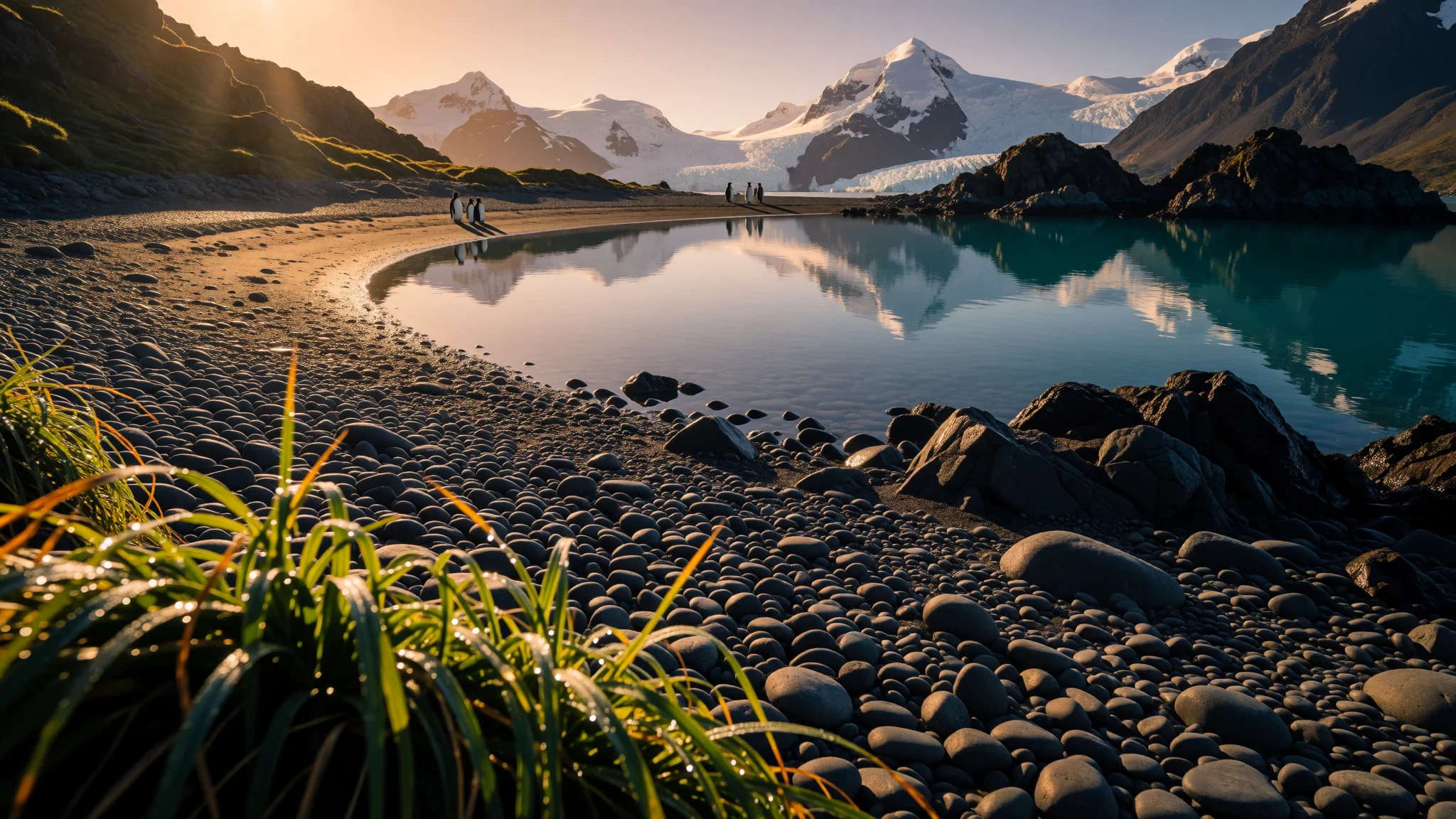
Lighthouse Bay is a remote South Georgia shoreline where wildlife, big seas, and history meet in one stark stretch of water.
The place
Lighthouse Bay sits along the north coast of South Georgia, threaded into the wider Cook Bay system. This irregularly shaped bay features a broad entrance stretching between Cape Crewe and Black Head, tapering as it extends west into a pair of inlets: Prince Olav Harbour and Lighthouse Bay. On a calm day from the sea it can look like a sheltered curve; on a rough day it reads more like a funnel for wind and chop, which is exactly why ship operators plan carefully and keep an eye on conditions.
This whole corner of the island is remote in the practical sense: there are no easy roads, no cafés nearby, and no stroll-on-the-boardwalk feeling. Getting close is part of the experience, but it also means being honest about effort and risk. Weather can turn quickly, and sea state matters as much as the view. It’s the kind of place where standing still and watching is an activity—because seabirds, seals, and the occasional larger marine visitor can pop up without warning.
The names carry a human timeline too. The bay was charted by Discovery Investigations (DI) personnel in the late 1920s, and it was named for Captain James Cook, who explored South Georgia and landed in the general vicinity in the 1770s. That mix—scientific mapping, seafaring legacy, and today’s wildlife-focused visits—gives Lighthouse Bay a particular flavour: not postcard romance, but dramatic, cold-water reality.
Plan for wet gear, layers, and patience. Crowds are not really a theme here; what’s more common is time spent waiting for the weather to cooperate.
Its story
Lighthouse Bay didn’t become “known” because it was convenient; it became known because it mattered to ships moving through dangerous, cold oceans. South Georgia sat in the path of explorers and then later the whaling-and-sealing era, when any cove that offered sheltered anchorage, some level ground, and access to fresh water had real value. Even today, that logic hasn’t disappeared—vessels still look for workable shelter and landing options.
The shoreline around Lighthouse Bay is also shaped by a wider geological story. South Georgia and its neighbours sit within a chain of islands tied to long-ago mountain building and later tectonic changes. Over tens of millions of years, connections formed and broke, and then volcanic activity added its own fingerprints in the form of active or formerly active peaks across the region. That matters to visitors less for the lab results and more for the atmosphere: the landscape feels raw, the air feels cold, and the sea feels alive.
When people talk about the “why” of sailing here, they usually land on the same point: nature does the planning. Currents and upwelling help feed the food chain, and that translates to sightings—often the ones that weren’t on anyone’s itinerary. Just as importantly, the era of discovery and charting is part of the place-memory. Lighthouse Bay was charted by DI personnel, and the Cook connection is baked into its name, so the bay reads like a page from maritime history while still functioning as habitat.
In practical terms, the story of Lighthouse Bay is therefore a mix of careful approach, fast-changing conditions, and respect for wildlife. It’s not a destination that rewards rushing.
What to see
- Cook Bay & Lighthouse Bay shoreline — North coast of South Georgia (Cook Bay)
Lighthouse Bay sits on the north coast of South Georgia within Cook Bay, with a wider entrance between Cape Crewe and Black Head that narrows into two western arms. Watch how the coastline tightens and changes the water.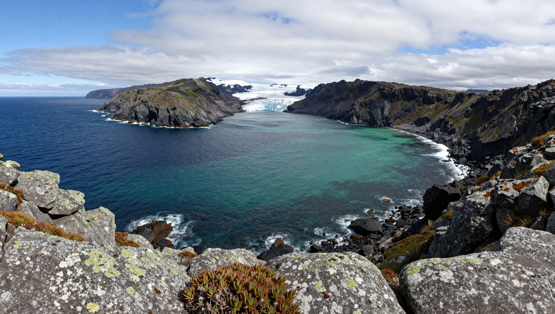
- Approaching by Zodiac — Cook Bay landing zones
Wildlife viewing is often about timing on a Zodiac approach: seabirds riding the air, seals along the edges of shelter, and occasional marine life drifting through. Keep scanning while staying aware of changing sea conditions.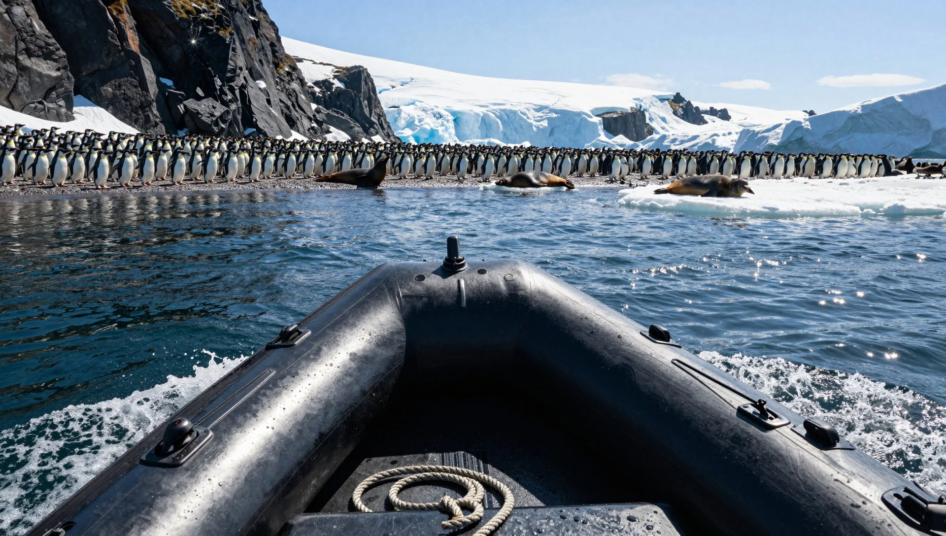
- Grytviken & Stromness area whaling heritage — Grytviken & Stromness Bay area
Old whaling stations in the Grytviken and Stromness Bay area add a human layer to the wildlife landscape. Even when the focus is natural history, these sites help explain why ships once sought shelter here.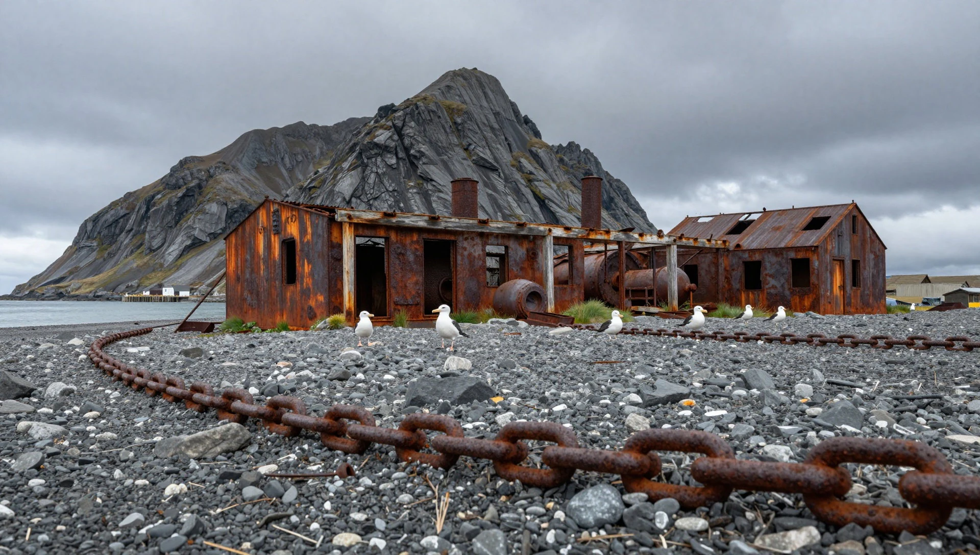
- Zavodovski Island (Traversay) penguins & views — Traversay Islands region
Zavodovski Island is visited for dramatic scenery and wildlife presence, including chinstrap penguins. It’s a spot that can feel remote even from a distance, and landings are all about safe, managed access.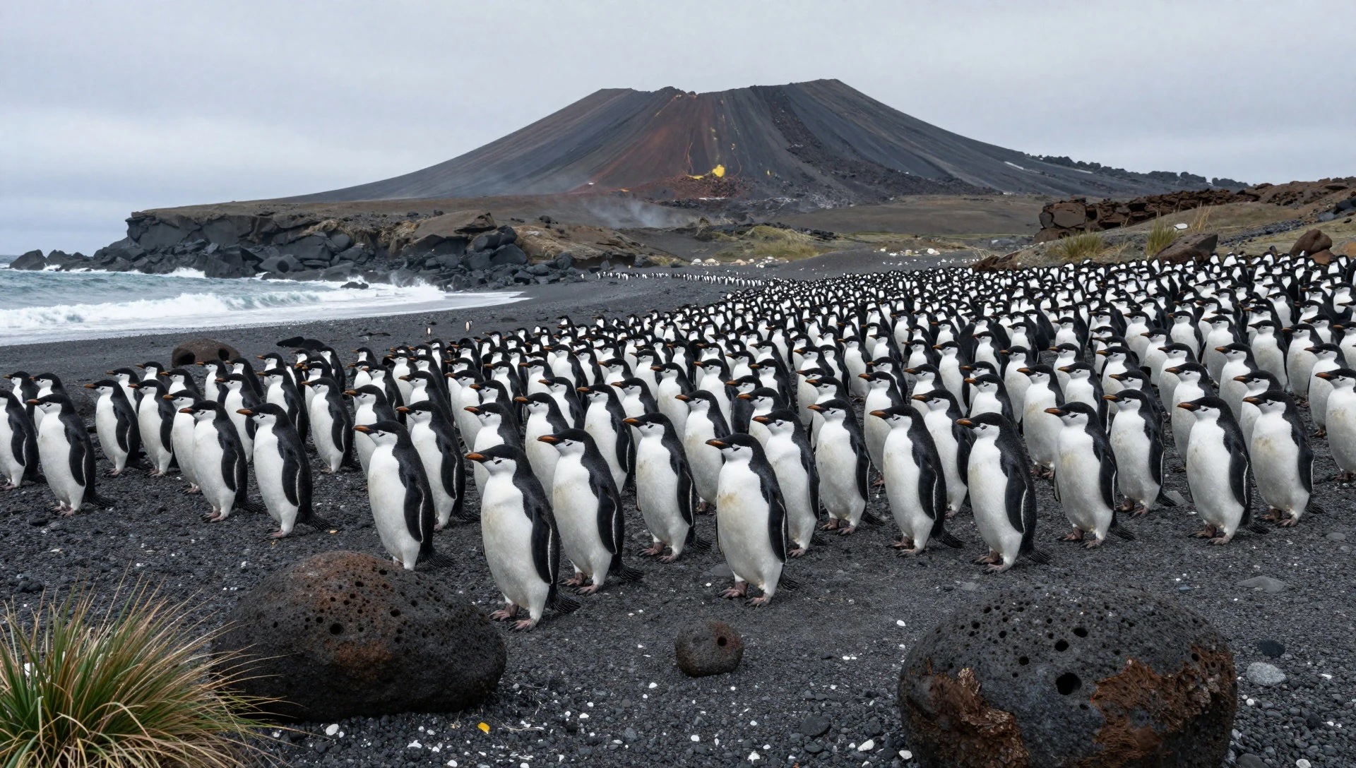
- Visokoi Island steam & smelly geology — Traversay Islands region
Visokoi Island is known less for calm scenery and more for active, steamy geology. Approaches tend to be short and purposeful—expect unusual smells alongside the landscape’s restless, mineral-stressed character.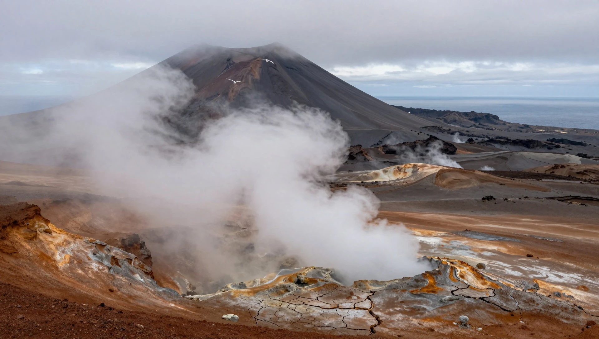
Culture
Lighthouse Bay sits in South Georgia and the South Sandwich Islands, where the basic rule is simple: respect wildlife. Animals live here year-round and breeding activity is especially sensitive to disturbance, so staying on the routes your leader marks isn’t about bureaucracy—it’s about keeping animals behaving normally.
There’s also a “keep it respectful” social rhythm. The region has history tied to the Falklands War, and the instruction from experienced expedition groups is not to bring it up casually. Even if someone’s curiosity is genuine, the safer and kinder move is to avoid the topic and stick to field questions and practical observations.
Trash habits matter too. If something is clearly modern, it’s a straightforward “grab it” moment, because wind and waves can move it quickly. If it looks older or worn, check with your leader before handling, because rules around protected artefacts can differ with age and condition.
Finally, the culture here includes safety thinking. Conditions can shift, so “where to go and when” comes from the expedition plan and local guidance rather than individual bravado.
Visitor etiquette: follow the leader’s wildlife routes, don’t approach breeding animals, and avoid dragging up sensitive political topics in conversation.
What to wear
For Lighthouse Bay, clothing is about keeping warm and dry, not looking good. The coast of South Georgia is cold and exposed, so visitors typically wear multiple layers: a thermal base, an insulating mid-layer, and a windproof waterproof outer. Legs benefit from waterproof trousers or over-trousers, because spray and wet footing are common in rougher landings.
Traditional dress isn’t a real theme here—this is a polar-region trip rather than a cultural-street style destination. What matters is whether the fabrics can handle damp conditions and whether the outer layer blocks wind. Footwear should grip well on uneven, possibly slippery ground around landing sites and be practical for wet conditions.
For sea days, gloves and a hat matter as much as the main layers; cold hands and a cold head quickly make the experience less enjoyable. Sunglasses help too when the light flashes off grey water, but they don’t replace proper weather protection.
At wildlife sites, dress also becomes part of etiquette: keep movement smooth, avoid flapping garments that scare animals, and be ready for guided stops where staying still matters.
Visitor checklist: bring a waterproof jacket and trousers, warm layers, gloves and a hat, and non-slip waterproof footwear for cold, wet, rocky shoreline landings.
What to eat
- No hunting or fishing (leave wildlife alone) — On-water and shore operations in SGSSI
Lighthouse Bay visits follow strict rules: hunting, fishing, and eating wildlife isn’t allowed, and feeding animals is also off-limits. There are rare exceptions involving regurgitated food during pitches from a Zodiac, but that’s not a “service” visitors should plan around.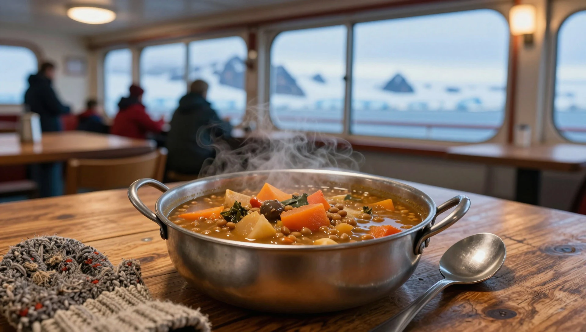
- Bring all drinks on short excursions — On short excursion outings
For quick trips, bring drinks with you and keep to the expedition’s approach. Alcohol is generally reserved until back on the ship, with only a specific toast moment at Shackleton’s grave mentioned by expedition folklore and planning notes.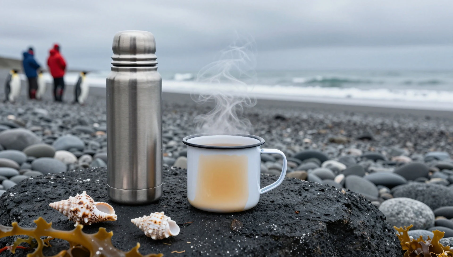
- Avoid meltwater pools — Shorelines and meltwater areas
Don’t drink from meltwater pools. These can be full of bird droppings and other unpleasant contamination. If fresh water is needed, expeditions can melt clean ice rather than relying on exposed puddles. - No fresh food ashore unless registered expedition — Landing sites across SGSSI
Fresh food shouldn’t be brought ashore anywhere in SGSSI unless a visitor is part of a registered expedition. For group activities, tour parties may carry small sweets like chocolates and toffees.
Plan it
Best time. April–October brings pack ice to the South Sandwich Islands, while South Georgia is routinely visited by cruise ships in summer; plan around the expedition operator’s seasonal schedule and prevailing conditions, since the coldest, driest months run roughly from June to September.
How long. 3–4
Getting there. No landing strips exist, so access is by sea. The practical last leg is on a cruise or expedition vessel that approaches South Georgia and then runs Zodiac transfers for shore activities when conditions allow.
Budget. high
Tips
- Choose an itinerary that includes managed landings on South Georgia, not just time offshore
- Expect cold conditions and pack for spray, because the wettest months are from about January to March and again in November–December
- Be ready to pivot if weather or sea state changes; that’s part of the schedule here
- Bring what you need for short excursions, especially warm layers and drinks
- Keep bio-security and wildlife rules front-of-mind to avoid trip delays
Etiquette
- Stay on the routes your tour leader marks and don’t stray off track
- Don’t disturb breeding animals—observe and move slowly as directed
- Handle and collect only what your leader confirms, especially regarding older debris or artefacts
Nearby
Sources
- Wikidata Q6546316 (CC0)
- Wikipedia (Lighthouse Bay revision 1182582493) (CC BY-SA 4.0)
- Wikivoyage (South Georgia and the South Sandwich Islands revision 5257873) (CC BY-SA 4.0)