Lake Powell
Lake Powell, United States
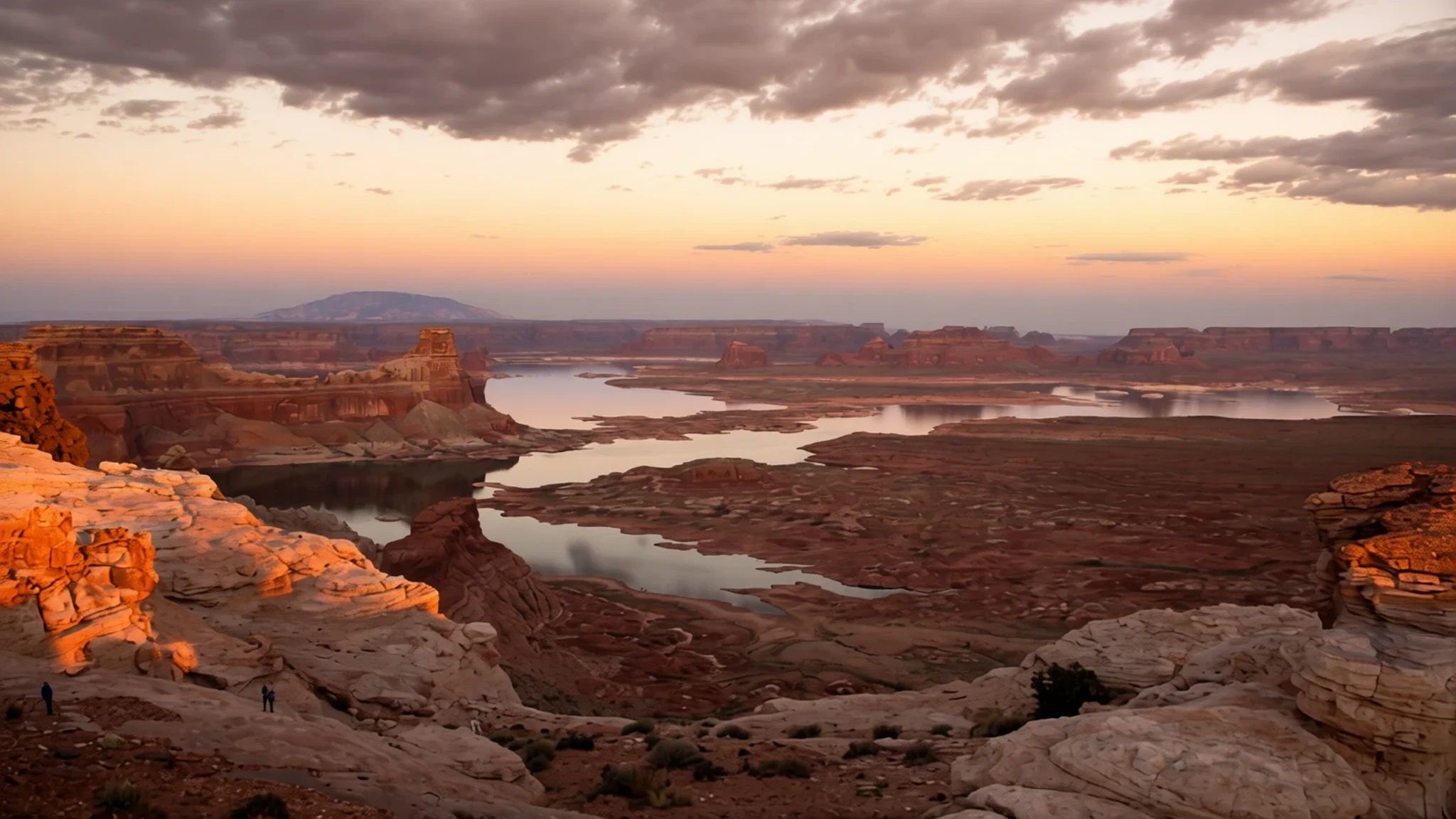
Lake Powell is a long reservoir of blue water between red sandstone walls, where the Colorado River backs up behind Glen Canyon Dam.
The place
Lake Powell sits on the Colorado River where it runs through the high desert of southern Utah, with a smaller arm reaching into northern Arizona. It is a reservoir rather than a natural lake. Water backed up behind Glen Canyon Dam and filled the canyons the river had cut through the sandstone of the Colorado Plateau. Roughly two million people visit each year, most of them in summer, when the water is warmest and the marinas are busiest. When full, the reservoir holds about 24.3 million acre-feet, making it the second largest in the United States by volume after its downstream neighbour, Lake Mead, although the two have swapped places several times this century. The shoreline is long and deeply branched, with side canyons running off into the rock, so a single day on the water can feel like crossing several lakes. Much of the surrounding land belongs to Glen Canyon National Recreation Area, managed by the National Park Service. The town of Page, Arizona, grew up alongside the dam and is the main base for visitors. The lake also stores water for the Upper Basin states under the Colorado River Compact, so its level rises and falls with snowmelt and drought. A pale band on the cliffs shows how far the water has dropped. Expect heat, glare and wind, with calmer water in the morning and choppier conditions by mid-afternoon.
Its story
The reservoir began as part of a plan for a chain of dams on the Colorado River, drawn up in the 1940s and early 1950s by the United States Bureau of Reclamation. Its first choice, a site at Echo Park, was dropped after a campaign led by David Brower of the Sierra Club argued that the canyon was too scenic to submerge. The Bureau then turned to Glen Canyon. The dam was built mainly to meet the delivery obligations that the Upper Basin states owed to the Lower Basin under the Colorado River Compact. Lake Powell, in this sense, works as a water bank that holds supply back for downstream users. Construction began with a demolition blast set off by President Dwight D. Eisenhower, who pressed a button at his desk in Washington to clear the diversion tunnels. Once the tunnels were open, the river was channelled through them and concrete placement began around the clock. A bridge was finished early in the work, allowing trucks to carry equipment to the dam site and to the new town of Page. As the gates closed, the canyons upstream began to fill, flooding side valleys and river bends that had been visited only by a few boatmen and geologists. The lake takes its name from John Wesley Powell, a Civil War veteran who ran the Colorado River through the canyons in 1869 using three wooden boats.
What to see
- Glen Canyon Dam — Page, Arizona, at the southern end of the lake
The concrete dam at the lake's southern end is the reason the reservoir exists. Its scale is most obvious from the road bridge or from the water below, where the wall rises steeply above the river. Ranger-led tours and visitor centre displays explain how the dam operates. Check the official National Park Service site for current tour times and whether booking is needed before you go.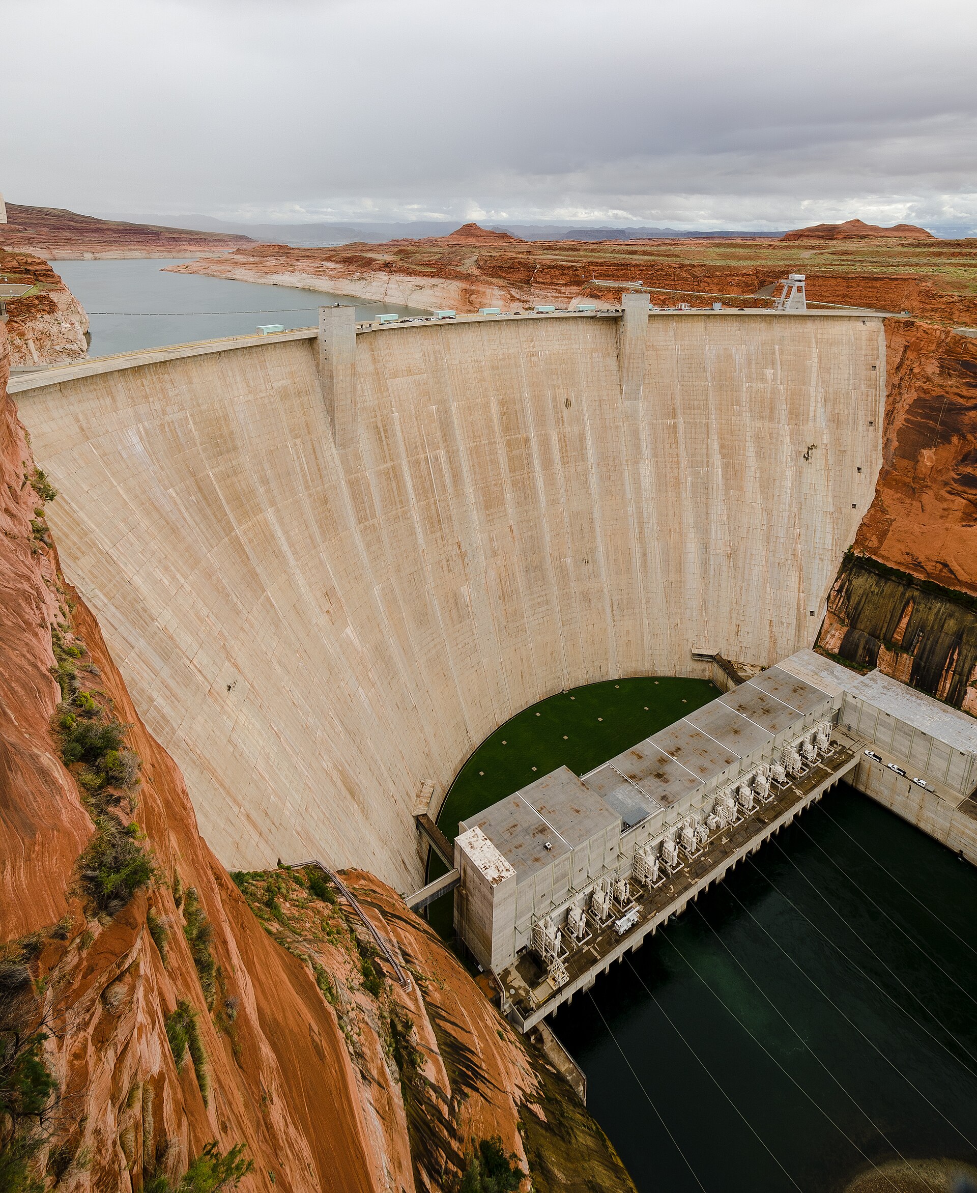
- Lake Powell by boat — Marinas around the lake, including the main launch near Page
Most people see the lake from the water, whether on a rented houseboat, a day cruise or a kayak. Side canyons reach back into the rock, and quiet coves are easy to find away from the main channel. Bring plenty of water, sun protection and a plan for returning before the afternoon wind builds. Boat rental and tours are seasonal, so confirm availability with operators ahead of time. - Navajo Point — Kaiparowits Plateau, above the lake
This viewpoint on the Kaiparowits Plateau looks south-west across the lake, and it is a favourite spot for sunrise photographs. The light moves slowly over the water and the surrounding cliffs, so arrive before dawn to secure a place. The access road is unpaved in parts, so check conditions and carry water and a torch for the drive out.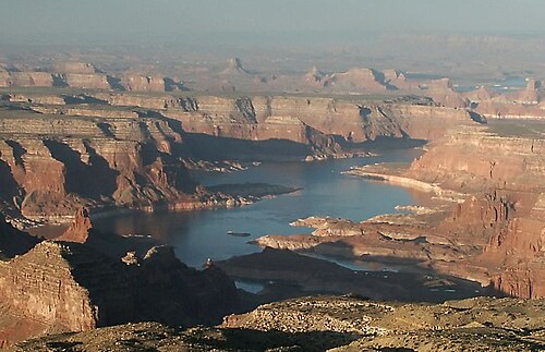
- Bryce Canyon National Park — Southern Utah, a long drive or day trip from the lake
Bryce Canyon is a few hours' drive from the lake and is often combined with it on a longer loop of southern Utah. Its forested rim gives way to eroded pink limestone spires, best seen from the viewpoints along the main road early in the day. Allow a full day, and check the official site for seasonal road and shuttle arrangements before you set out.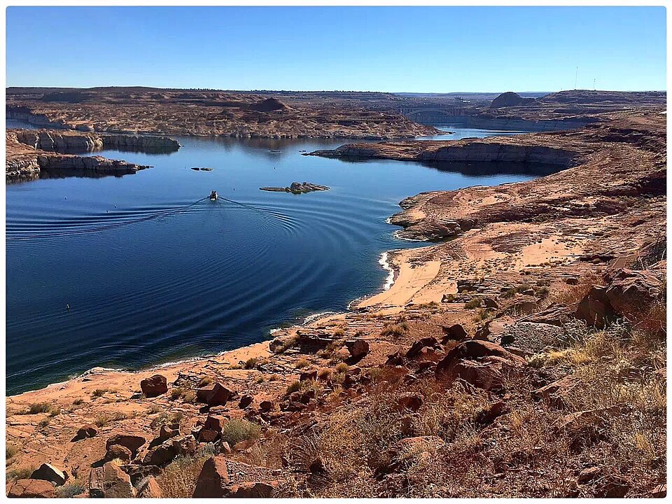
Culture
Utah ranks among the more religiously observant US states, and the majority of its people are Christians, with many belonging to the Mormon Church. The church is traditional and conservative in its outlook, and its members usually dress modestly and avoid alcohol, coffee and tea. Visitors will notice this in small towns and in the way many local businesses present themselves, though the tourist economy around the lake is very relaxed. Utah has a complicated history with polygamy. The practice was open but controversial in the mid nineteenth century, and the church officially condemned it in 1890. Today the church excommunicates members who practise it and keeps its distance from self-proclaimed followers who do. Most visitors will never raise the subject, and it is better not to bring it up unprompted. Around the lake, the ground is fragile and much of it is protected land, so stay on marked trails, do not climb on the rock art or old dwellings, and take all rubbish and food scraps with you when you leave the shore.
What to wear
The land around Lake Powell has long been home to Indigenous peoples, and the textiles most often associated with the wider Southwest are woven blankets and rugs and silver jewellery, traditionally made from wool and metal by Navajo (Diné) makers. Buy these directly from named artists or licensed traders, and ask about the maker and materials. Most people around the lake now wear practical outdoor clothing: t-shirts, quick-drying trousers or shorts, and hats, with fleeces for cool mornings on the water. Utah's towns are relaxed about dress, although the Mormon emphasis on modesty means very revealing outfits can stand out in smaller communities. For visitors, the priority is climate and terrain. Pack light long sleeves for sun protection, a wide-brimmed hat, sunglasses with strong UV protection, and closed-toe shoes with good grip for slickrock and sandy paths. Sandals work on boats, but sturdy shoes are safer for hikes and viewpoints.
What to eat
- Fry sauce — Burger drive-ins and diners in towns around the lake
Fry sauce is a pink dip made from mayonnaise and ketchup with a little pickle relish added. It was invented in Utah and is served with almost everything fried, from chips to onion rings. Ask for it at any local burger or drive-in restaurant, where it usually comes in a small cup on the side. - Pastrami cheeseburger — Local fast-food chains in larger towns such as Page
A cheeseburger topped with a heap of pastrami is a regional fast-food favourite that turns up on the menus of some local chains. It is rich and filling, so it suits a long day on the water. Order it at a fast-food counter in a larger town, where it is more likely to be on the menu. - Summer stone fruit and sweet corn — Roadside farm stands and summer farmers' markets
Peaches, cherries and other stone fruit, along with sweet corn, come into season in summer. Stalls on the roadside and at farmers' markets sell them at their peak, and they make an easy snack for a boat trip. Buy them ripe and eat them the same day, since they soften quickly in the heat. - Pie — Family diners and bakeries in towns along the highways
Pie is still a staple of Utah cooking, and a slice from a family-run diner makes a good end to a day of walking or boating. Fruit pies and cream pies are common, and you can usually find them at the counter near the till. Ask what is baked that morning.
Plan it
Best time. Spring and autumn are the most comfortable months, with warm days and cooler nights and far less heat on the water. Summer is the busiest season and very hot, with midday temperatures that can make being on open water or hiking exposed ground hard going. Winter is quiet and cold, and some services close.
How long. 2–3
Getting there. Fly into Salt Lake City International Airport, the main regional hub, then drive south for several hours. Page, Arizona, is the most convenient base. Amtrak's California Zephyr stops at Green River, Helper, Provo and Salt Lake City, but these are all a long way from the lake, so a hire car is usually needed for the final leg.
Budget. mid
Tips
- Book houseboats, boat tours and campsites well ahead for summer weekends
- Start hikes and boat trips early to avoid the midday heat and the afternoon wind
- Carry more water than you think you need, and use sun protection on the water
- Card payment is common at marinas and larger towns, but carry some cash for small vendors and fuel stops in remote areas
- Check the official National Park Service site for road, trail and boat-launch conditions before you set out
Etiquette
- Stay on marked trails and leave rock art, old dwellings and artefacts untouched
- Take all rubbish and food scraps with you, including from the shore and from boats
- Dress modestly in small Utah towns, where many residents follow traditional religious norms
Nearby
Sources
- Wikidata Q667507 (CC0)
- Wikipedia: Lake Powell (rev 1379260845) (CC BY-SA 4.0)
- Wikivoyage: Utah (rev 5404380) (CC BY-SA 4.0)
- Copernicus Sentinel-2, ESA, via Wikimedia Commons (CC BY-SA 3.0 igo)
- Tuxyso, via Wikimedia Commons (CC BY 3.0)
- U.S. Bureau of Reclamation, via Wikimedia Commons (Public domain)
- Own work, via Wikimedia Commons (Public domain)
- Scotwriter21, via Wikimedia Commons (CC BY-SA 4.0)
- PRA, via Wikimedia Commons (CC BY 3.0)
- G. Thomas, via Wikimedia Commons (Public domain)
- Genbao Zhang, via Wikimedia Commons (CC BY-SA 4.0)


