Lake Eyre
Lake Eyre, Australia
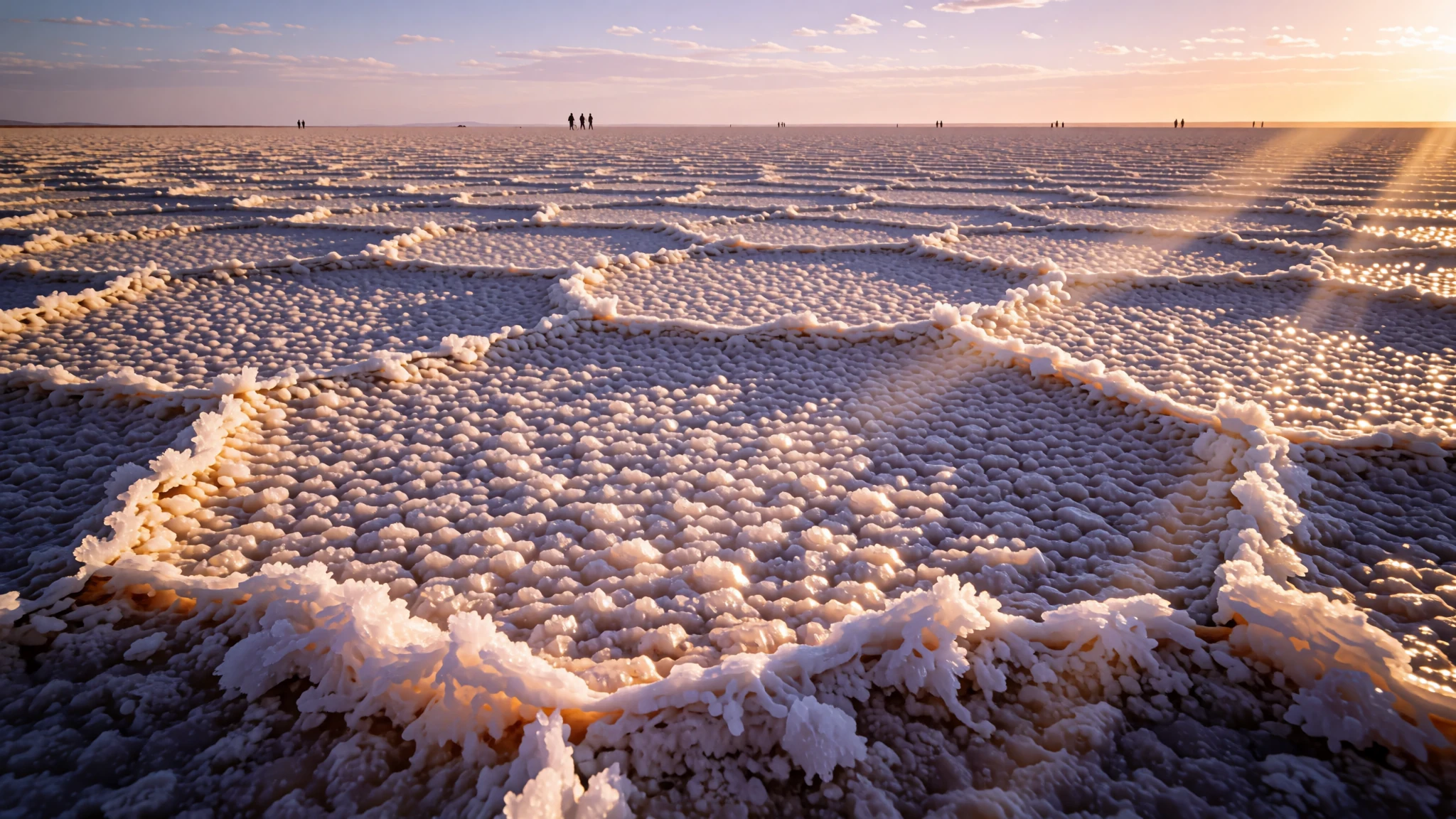
A vast salt lake, usually dry, with a crust to walk on and a rare flood that turns desert into wetland.
The place
Lake Eyre lies in the far north of South Australia, about 718 kilometres from Adelaide, in country so flat and dry that the horizon seems to tilt. Officially it is a locality, an administrative area that covers the whole lake, its islands, a peninsula on the southern shore of the northern basin, and land on the eastern side. The name comes from the former Lake Eyre National Park, which is now part of the wider Kati Thanda-Lake Eyre National Park. Almost all of the locality is protected conservation land, so development is minimal beyond the tracks and a handful of stations.
The lake itself is usually a glittering expanse of white salt and cracked mud. Water arrives only when heavy rain falls across distant catchments in central and northern Australia, and the flow can take weeks to reach the basin. When the lake fills it becomes a shallow sheet of water for a time, drawing birds, fish and other wildlife that otherwise have no reason to be here. Then the water evaporates and the salt returns. Around the basin, sand dunes, gibber plains and saltbush cover the land, and the colours shift with the light through the day.
What you find on arrival depends on luck. Some visitors see a dazzling dry basin; others find water lapping at the edges. Either way the scale is hard to take in, and the silence is almost total. Plan for heat, distance and isolation. Fuel, food and phone signal are scarce, so the trip is as much about preparation as the view, and few places in Australia feel so open.
Its story
The story of Lake Eyre is a story of water that arrives late and leaves quickly. The lake sits at the bottom of a huge inland drainage basin, so most of the water that falls across the region drains towards it. When heavy rain falls far to the north and east, the water travels slowly through river systems and reaches the lake weeks later, spreading across the basin in a broad, shallow sheet.
For most of the year the basin is a dry expanse of salt, and the change when it fills is striking. Birds gather in numbers to feed and breed, fish that have lain dormant in the mud reappear, and the desert briefly looks like something else entirely. Many people who see it describe the surprise more than the water itself, because the contrast with the usual dryness is so sharp.
The lake is named after the explorer Edward John Eyre, though the place has long been known by its Aboriginal name as well. The locality was formally recognised in 2013, when its official name was set to honour the long-established local name, which draws on the former national park. That decision reflects a wider shift in South Australia towards using local names alongside the colonial ones.
For the pastoral families who worked the surrounding country, the lake was for much of its history more of an obstacle than a destination. Stock routes, long distances and unpredictable floods made it a place to cross rather than to stay. Today it draws travellers who come for the landscape and the rare chance to see the basin under water, and the story of its changing moods is what keeps people coming back.
What to see
- Lake Eyre salt crust — The lake basin
The lake basin itself is the reason to come. Most of the time it is a vast, flat plain of white salt that stretches to the horizon and throws the light back at you, so sunglasses are essential. Walk only where the crust looks firm, because the surface can give way to slippery grey mud beneath. Go in the cooler hours and bring more water than you think you need.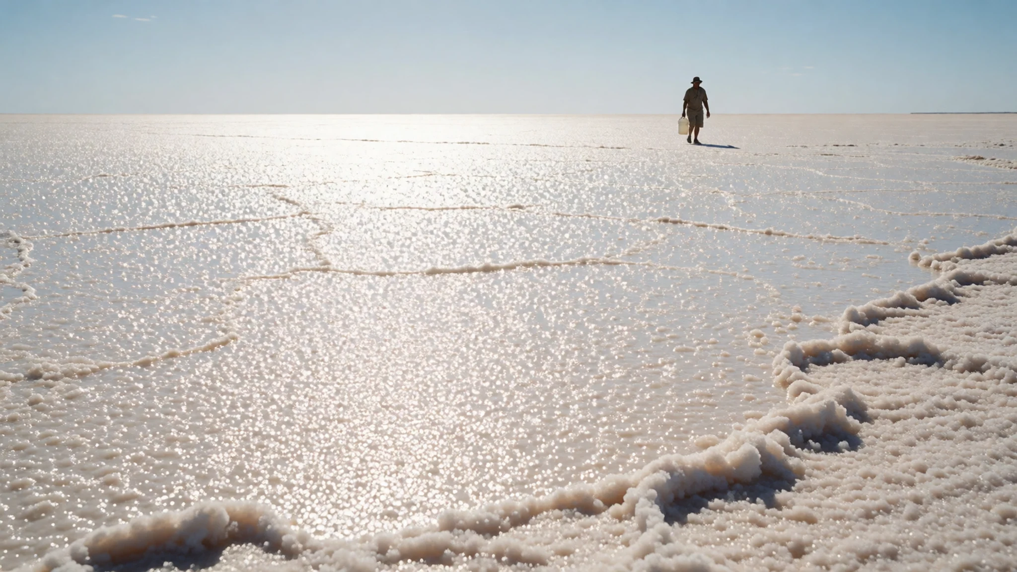
- Kati Thanda-Lake Eyre National Park — The park surrounding the lake
The national park protects the basin and the land around it, and it is the reason the area remains largely free of development. Its tracks are rough and often closed after rain, so check with park rangers before you set out. Expect no mobile signal across most of it. Pack a map, a spare tyre and a plan for leaving word about your route.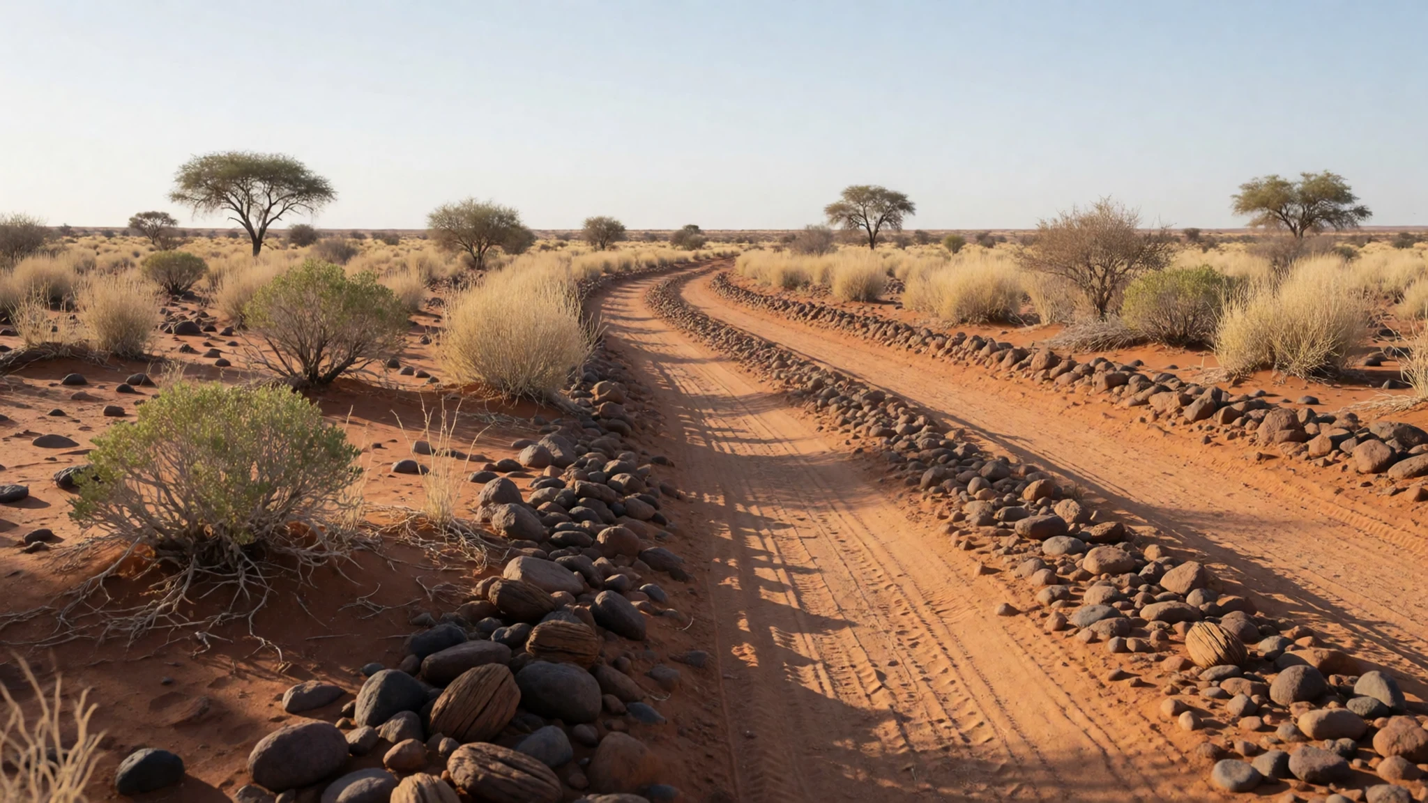
- Elliot Price Conservation Park — Land within the locality
Elliot Price Conservation Park also falls within the locality, and it shows a different side of the country. Low dunes, gibber plains and scattered shrubs replace the open salt. It is quieter than the lake edge and a good place to look for birds after rain. Facilities are minimal, so take everything you need and check the state's park guidance before camping.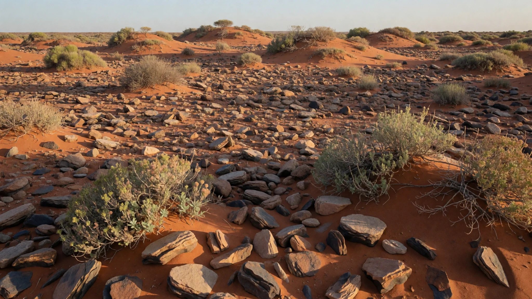
- Hunt Peninsula — Southern shore of the northern basin
The Hunt Peninsula reaches out from the southern shore of the northern part of the lake, which is an odd piece of geography to picture until you see it. Access is by rough track and is cut off in wet weather, when the water may flood around it. Go with company and a satellite phone, because the area is remote and help can be a long way off.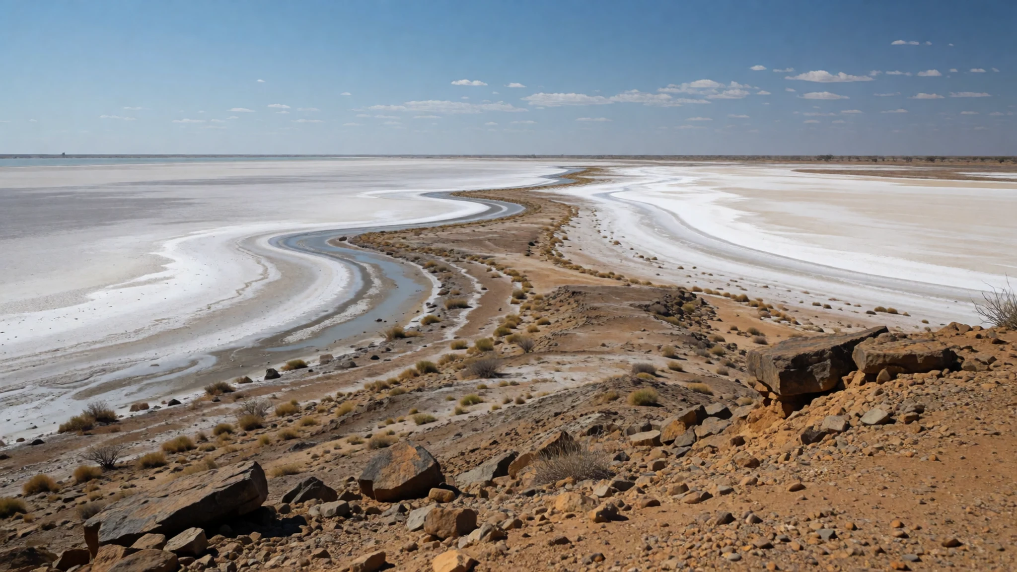
- Flinders Ranges and Wilpena Pound — Further south, a long drive away
Many visitors combine the lake with the Flinders Ranges, a long line of hills rising out of the plains. Wilpena Pound, a natural amphitheatre of rock walls, is one of the region's best-known landscapes. The ranges are one of Australia's first official national landscapes. Allow time for walks and a sunset viewpoint, and expect a long drive from the lake.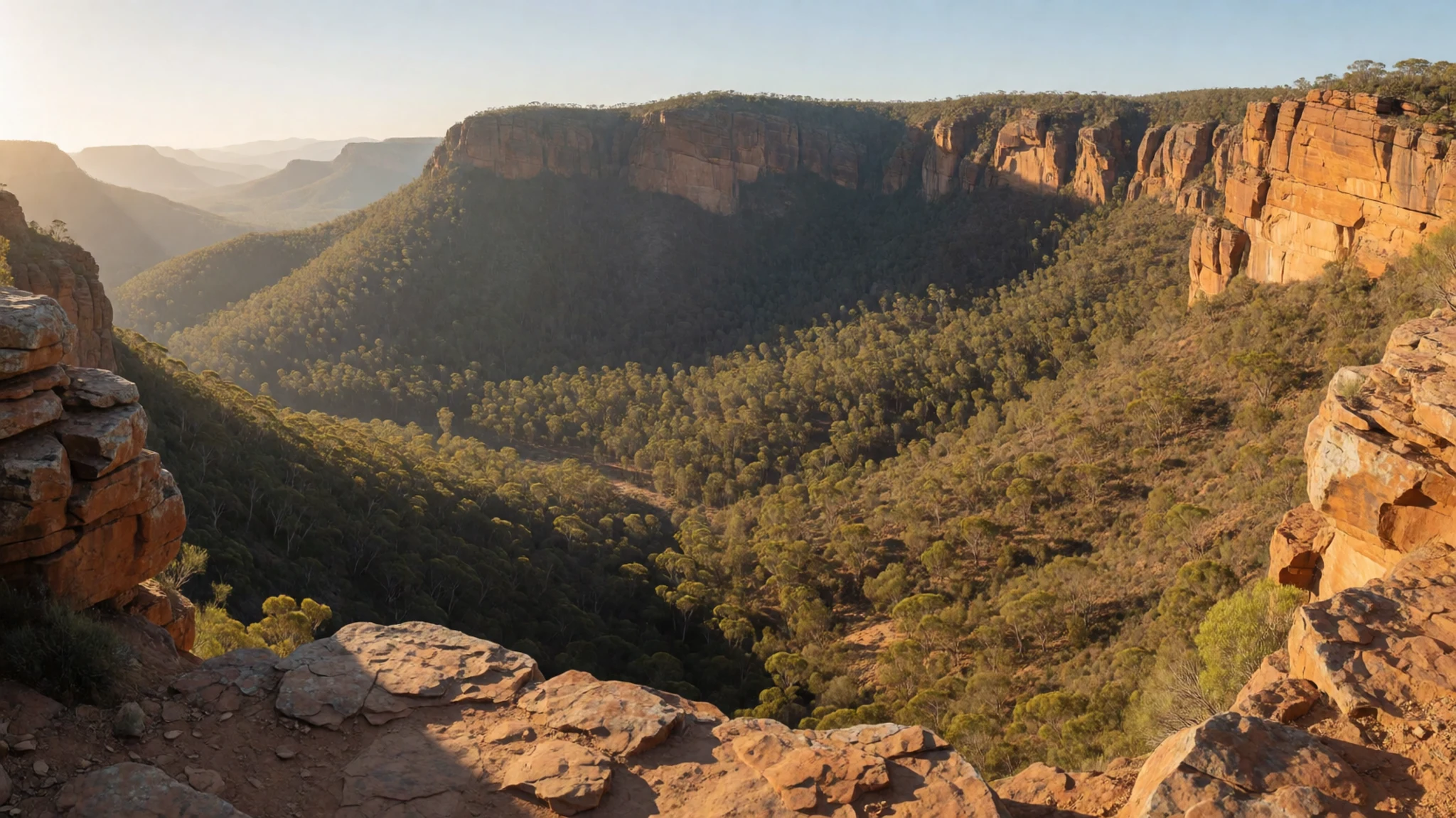
Culture
Lake Eyre sits on Aboriginal country, and the region's traditional owners have lived with its floods for far longer than any European visitor. The lake's local name, Kati Thanda, appears in the national park title, and using it alongside the English name is a small courtesy that many locals appreciate. The area is very quiet. Most people here are passing through on long drives, working on stations or running the parks, and conversations at roadhouses tend to be friendly but brief. If you come across a sacred or significant site, leave it untouched and follow any signs or guidance from rangers. Ask permission before photographing people, especially in remote communities where you may be asked to put your camera away. Stay on marked tracks and keep off the salt surface unless a ranger or local operator has told you it is safe to drive.
What to wear
Traditional dress around Lake Eyre belongs to the Aboriginal communities whose country this is, and it is worn in ceremony rather than as everyday clothing. Ceremonial dress and body decoration differ between language groups, and the details are for those communities to share. If you see them, look and listen without taking photographs unless you are invited, and do not copy ceremonial items.
What people actually wear now is practical outback clothing. Station workers and rangers favour long-sleeved cotton shirts in pale colours, moleskin or denim trousers, wide-brimmed hats and sturdy boots. Light fabrics reflect the sun and help keep the body cooler, while closed footwear protects feet from sharp salt and hot ground.
As a visitor, dress for sun first. Pack a wide-brimmed hat, sunglasses, loose long sleeves and sunscreen. Wear closed shoes that can get muddy, because the salt crust can crack and the mud beneath it is slippery. Nights in the cooler months can be cold, so bring a warm layer. Lightweight, breathable clothing is best in the heat, and avoid anything that will catch on the scrub.
What to eat
- Fresh seafood from the Central Market — The Adelaide Central Market, seafood stalls
Adelaide's Central Market has a long reputation for fresh produce, and its seafood stalls are the place to start. Look for South Australian oysters, abalone and crayfish when they are on offer, and ask the vendor how the catch was landed. Buy a picnic and eat it by the water, since the market rewards a slow morning.
- Smallgoods and cheese platter — The Central Market delicatessens and cheese counters
Cured meats, sausages and regional cheeses are sold throughout the market. Assemble a platter with pickles, bread and a jar of local olive oil, which the state produces in quantity. It makes a practical meal to carry into the outback, as long as you keep it cool.
- Asian dishes in the market quarter — The streets around the Central Market, Chinatown
A small Chinatown sits next to the Central Market, and its restaurants and cafés serve noodles, dumplings and rice dishes from across the region. Lunch here is a good contrast with the rural food you will meet later. Go at midday, when the lanes are busiest and the kitchens are turning dishes out quickly. - Barossa Valley wine at a cellar door — Cellar doors in the Barossa Valley
The Barossa Valley is a long drive from the lake, but its cellar doors are a memorable stop on the way south. Taste a shiraz and a riesling, and ask staff which wines suit a warm evening. Tastings are usually inexpensive, but check opening times with each winery before you go. - Stone fruit and citrus in season — Roadside stalls and farm gates in the irrigated districts
Roadside stalls and farm gates in the irrigated districts sell peaches, plums, nectarines, oranges and grapefruit when they ripen. Buy fruit that is firm and fragrant, and eat it within a day or two in the heat. In the outback itself, expect roadhouse meals and long gaps between shops, so stock up before you head out.
Plan it
Best time. Plan around the cooler months, roughly June to August, when days are mild and nights are cold, because summer heat in the outback is severe. Whether the lake holds water is unpredictable, so current flood reports matter more than the calendar.
How long. 2–3
Getting there. Fly into Adelaide, the usual starting point, then hire a suitable vehicle for the drive north. The final stretch is unsealed desert track, and the nearest settlements are small with limited fuel and supplies.
Budget. mid
Tips
- Check flood status and road conditions before setting out, since the lake may be dry, wet or somewhere between
- Carry more water than you think you need, and keep a reserve supply in the vehicle
- Book accommodation and fuel ahead, because settlements are small and may run short
- Bring cash for remote stops, and do not rely on card payments
- Drive in the cooler hours and avoid travelling alone in summer
Etiquette
- Stay on marked tracks and ask rangers before driving onto the salt surface
- Take all rubbish with you and leave the basin as you found it
- Respect Aboriginal sites and do not disturb objects or ground marks
Nearby
Sources
- Wikidata Q26953460 (CC0)
- Wikipedia: Lake Eyre, South Australia (CC BY-SA 4.0)
- Wikivoyage: South Australia (CC BY-SA 4.0)
- Salt Crust on Lake Eyre gives way to slippery mud, Phanly (CC BY 3.0)
