Lake District
Lake District, United Kingdom
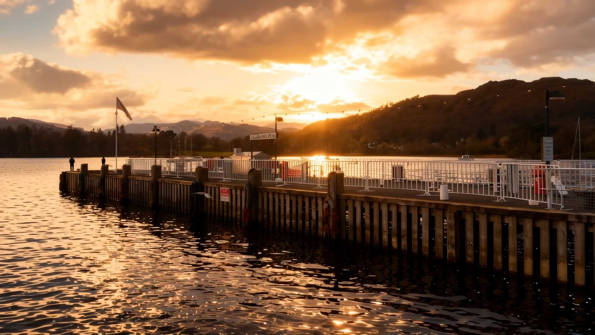
Mountains, lakes and fells carved by ice, plus a literary history that draws readers and walkers back year after year.
The place
The Lake District, which locals also call the Lakes or Lakeland, is a mountainous region in Cumbria in north-west England, and most of it sits inside a national park. Its appeal is the mix of water and high ground packed into a fairly small area. England's highest fells are here, led by Scafell Pike at 978 metres, with Helvellyn and Skiddaw close behind. Sixteen major lakes sit among them, from long narrow ribbons to broader stretches of water such as Windermere, the longest and largest lake in England.
The shape of the land comes from ice. Over roughly two million years, repeated glaciations carved valleys out from a central upland, and many of those valleys have the steep-sided, flat-floored profile that glaciers leave behind. Long lakes fill the bottoms of some of them, while small tarns sit in bowls high on the fells. Wast Water, at 79 metres deep, is the deepest lake in England.
Lower down the slopes lie moorland, bracken and heather, but much of the ground is boggy because rain falls heavily here. The region is the wettest part of England, so waterproofs are not optional. Keswick, Ambleside, Grasmere and Coniston are the main bases, and the valleys are linked by footpaths and quiet roads. Expect narrow lanes and slow traffic in summer, especially around the lakeside villages.
Its story
Books have shaped how the Lake District is seen as much as the mountains have. Beatrix Potter, John Ruskin, Arthur Ransome and the Lake Poets all tied their work to these valleys, so a walk past a particular lake can feel like stepping into a page. Ransome's stories about boats and lakes have a similar pull, and many visitors arrive with a copy tucked into a rucksack.
The landscape's history is older still. Glaciers scoured out the valleys over a very long period, and the lakes and tarns are what remained in the hollows they left. For centuries the land was farmed, with sheep grazing the fells and stone walls running up the lower slopes. That working landscape is part of the appeal. The walls, barns and farmsteads are not decoration but the everyday result of hill farming.
The national park was established in 1951, and the wider region was designated a UNESCO World Heritage Site in 2017. That recognition added to the attention the area already received, and with it came more pressure on roads, car parks and footpaths. The question of how the valleys should change is still debated by residents, farmers, walkers and businesses, each with a stake in the outcome. Following that debate gives a truer picture of the place than a visit alone.
What to see
- Scafell Pike — Wasdale and Borrowdale, southern fells
Scafell Pike is England's highest point at 978 metres, and the name is pronounced 'Scaw-fell'. Most walkers reach the summit on foot from the valleys, which makes for a long day over rough ground. The top can be cloudy and cold even when the valleys are sunny, so take windproof layers and a map. Check the forecast before you set out, and turn back early if cloud comes down.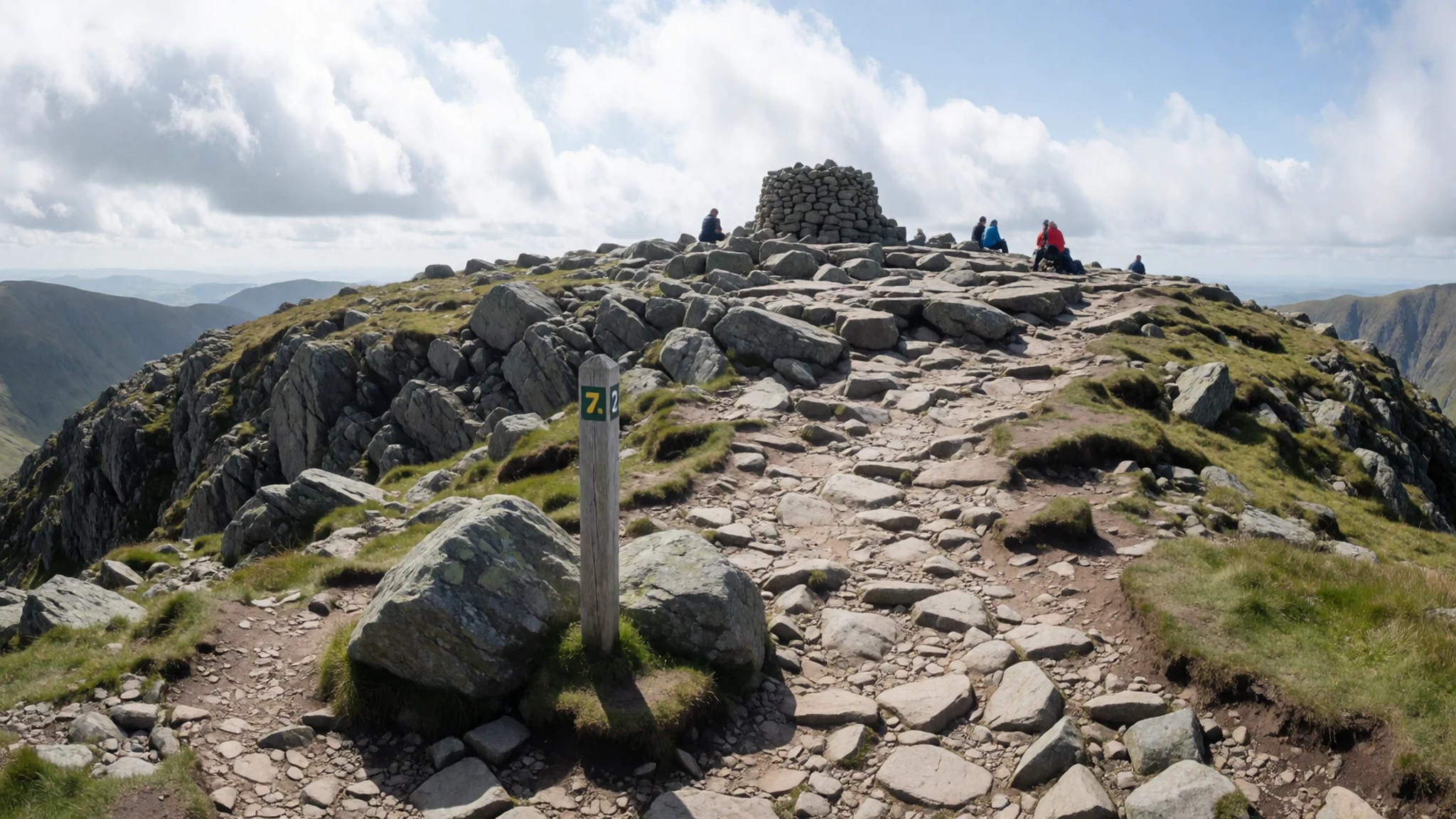
- Great Gable — Wasdale, western fells
Great Gable rises steeply above Wasdale, and its summit cairn was put up by the Westmorland brothers to mark the fell. The views from the top look out across a crowd of peaks, which makes it a rewarding but demanding climb. Expect loose stone on the descent, and check your route before you start.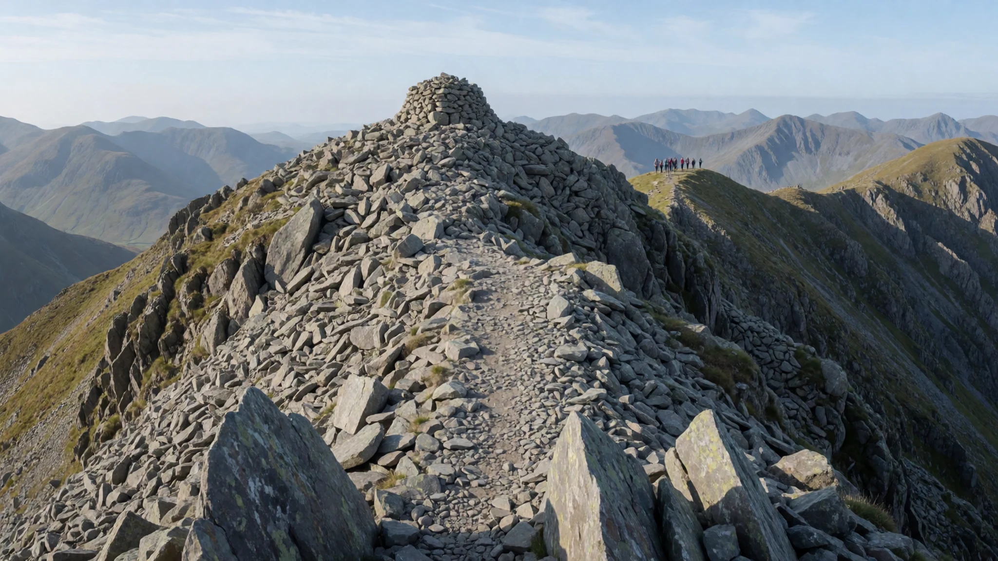
- Helvellyn — Glenridding and Ullswater, eastern fells
Helvellyn stands at 950 metres, one of the three highest fells in the Lake District alongside Scafell Pike and Skiddaw. Many walkers start from Glenridding on the shore of Ullswater and climb a rough path to the ridge. The summit ridge is exposed to wind, so take care in poor visibility and keep well away from the edges.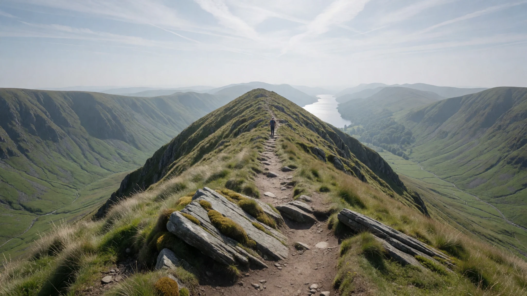
- Ullswater Steamer — Ullswater, eastern lakes
The steamer on Ullswater calls at Glenridding, Howtown and Pooley Bridge, so you can cover the lake without walking every shoreline. It is a relaxed way to see the fells from the water, with the views opening up as the boat pulls away from each pier. Check the timetable on the operator's website before you go, as sailings change through the year.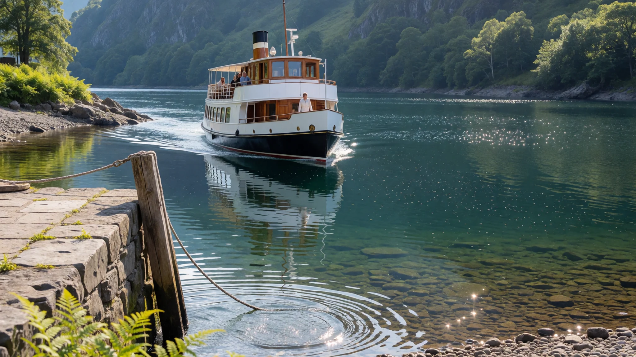
- Keswick Launch on Derwentwater — Keswick, northern lakes
Keswick Launch runs circuits of Derwentwater in both directions, clockwise and anticlockwise, so you can choose the view you want. The lake is wide enough to feel open, with Skiddaw rising behind the town. Pick the circuit that suits your plans, and check times ahead, since the service varies with the season.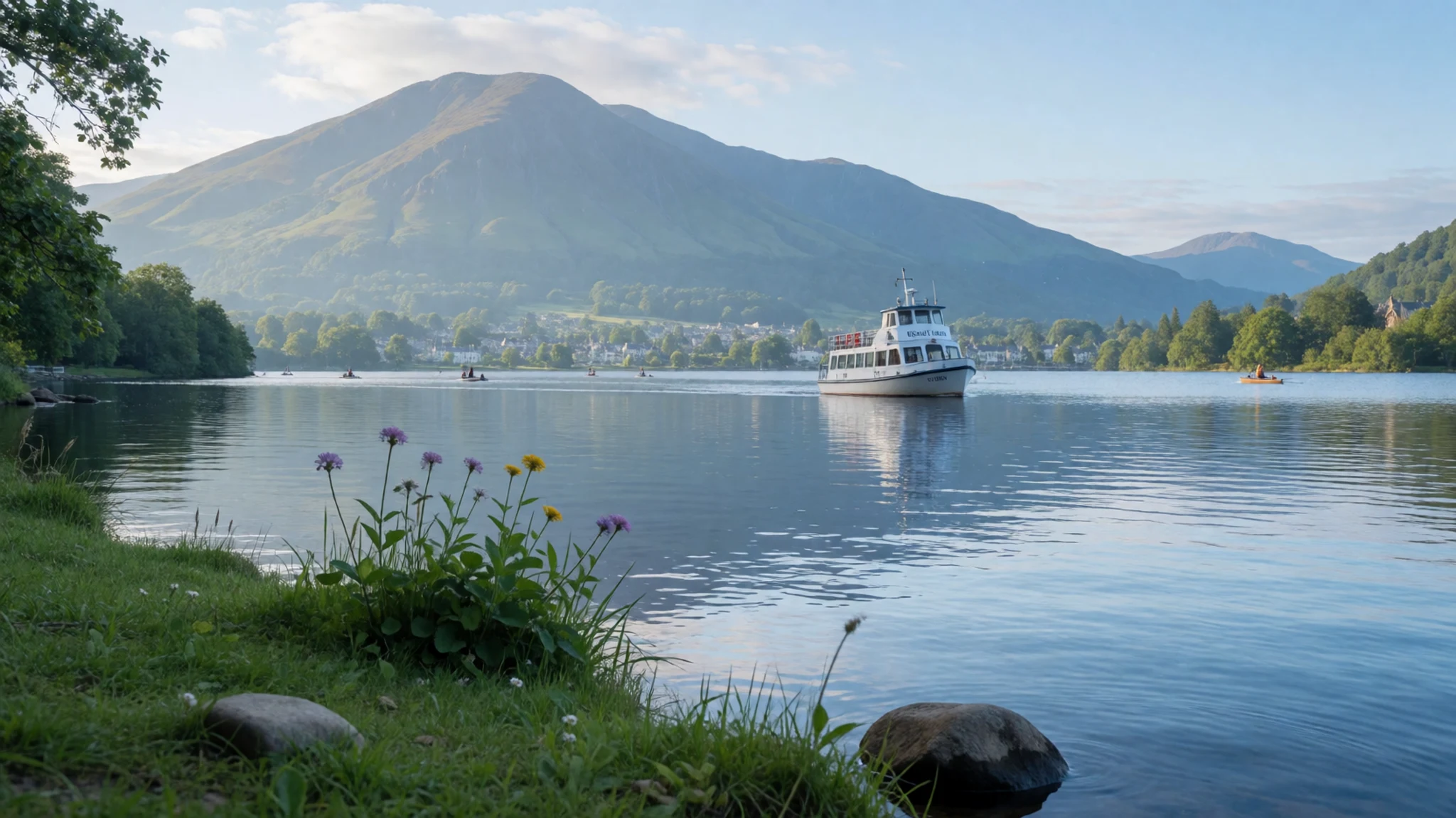
Culture
The Lake District is a working landscape as well as a playground. Hill farms run sheep across the fells, and many of the stone walls and gates you pass belong to someone's livelihood. Walkers share narrow lanes with tractors and farm vehicles, and many valley roads were never built for heavy traffic.
Pubs are the social heart of the villages. Many are old and low-beamed, and conversation tends to be friendly but not loud. People talk about the weather and the fells with a practical ease. Mountain rescue here is largely volunteer work, and volunteers are called out when conditions turn. Carrying a map, telling someone your route and turning back in cloud are simple habits that count as local courtesy.
Single-track roads have passing places, and it is expected that you use them to let faster vehicles through. Litter, open gates and fires on the open fell cause real trouble for farmers. Before you walk onto farmland, check which paths are public and keep dogs under control near sheep.
What to wear
Traditional dress in the Lake District is really working clothing. Hill farmers wore heavy wool, tweed and waxed cotton, layered against rain and wind on the fells. The hardy Herdwick sheep, which graze the high ground, give a coarse grey fleece that has long been spun and woven into jumpers and blankets. You will still see it in farm shops and craft stalls. Tweed and waxed jackets remain the classic outdoor look here, and they suit the weather.
Today people in the villages dress much as they would anywhere in Britain, with a practical edge. Walking boots, fleece and a waterproof shell are everywhere, even in town, and plenty of people wear gilets over jeans. Pubs and cafés are relaxed, so smart casual is enough for dinner. Locals rarely dress up for the fells.
For a visit, the rule is layers. The weather can change within an hour, and the tops are often colder and wetter than the valleys. Pack a waterproof jacket, a warm mid layer and boots with good grip, since many paths are stony and wet. Sun cream and a hat help on clear days, and trainers are fine for lakeside walks. Dress modestly for churches, which are open to visitors.
What to eat
- Roast lamb — traditional pubs in the valleys, at lunch and dinner
Sheep farming shapes the hills, so roast lamb is a common main course on pub menus across the valleys. It usually arrives with roast potatoes, seasonal vegetables and gravy. Order it at lunch or in the evening, when kitchens are at their busiest and the meat is freshly carved.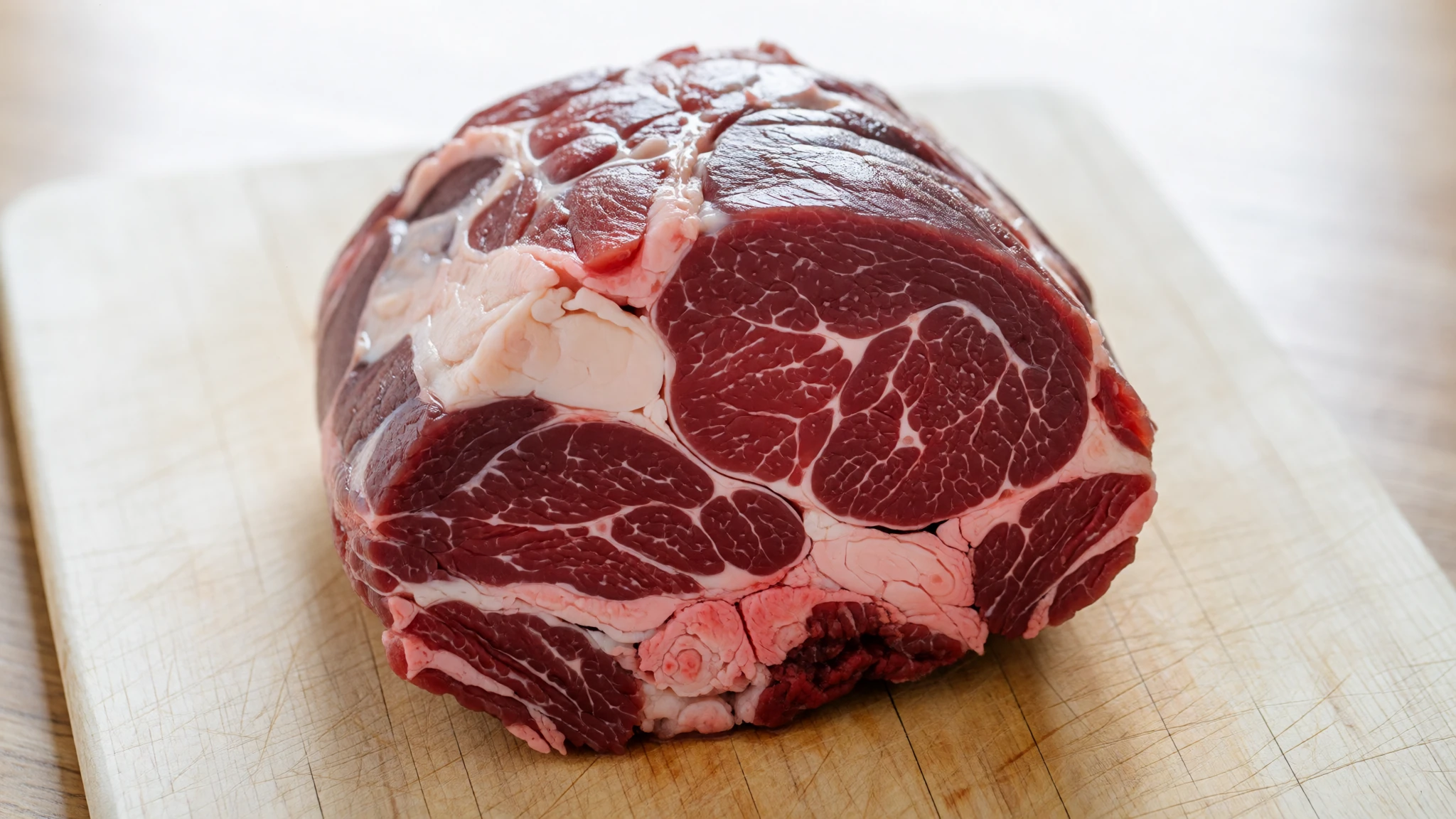
- Cumberland sausage — a traditional butcher's counter or a pub kitchen in the market towns
The Cumberland sausage is a speciality throughout Cumbria, a long, coiled pork sausage with a peppery seasoning. It often comes with mash and onion gravy, or in a bread roll. It is an easy, filling lunch after a morning on the paths.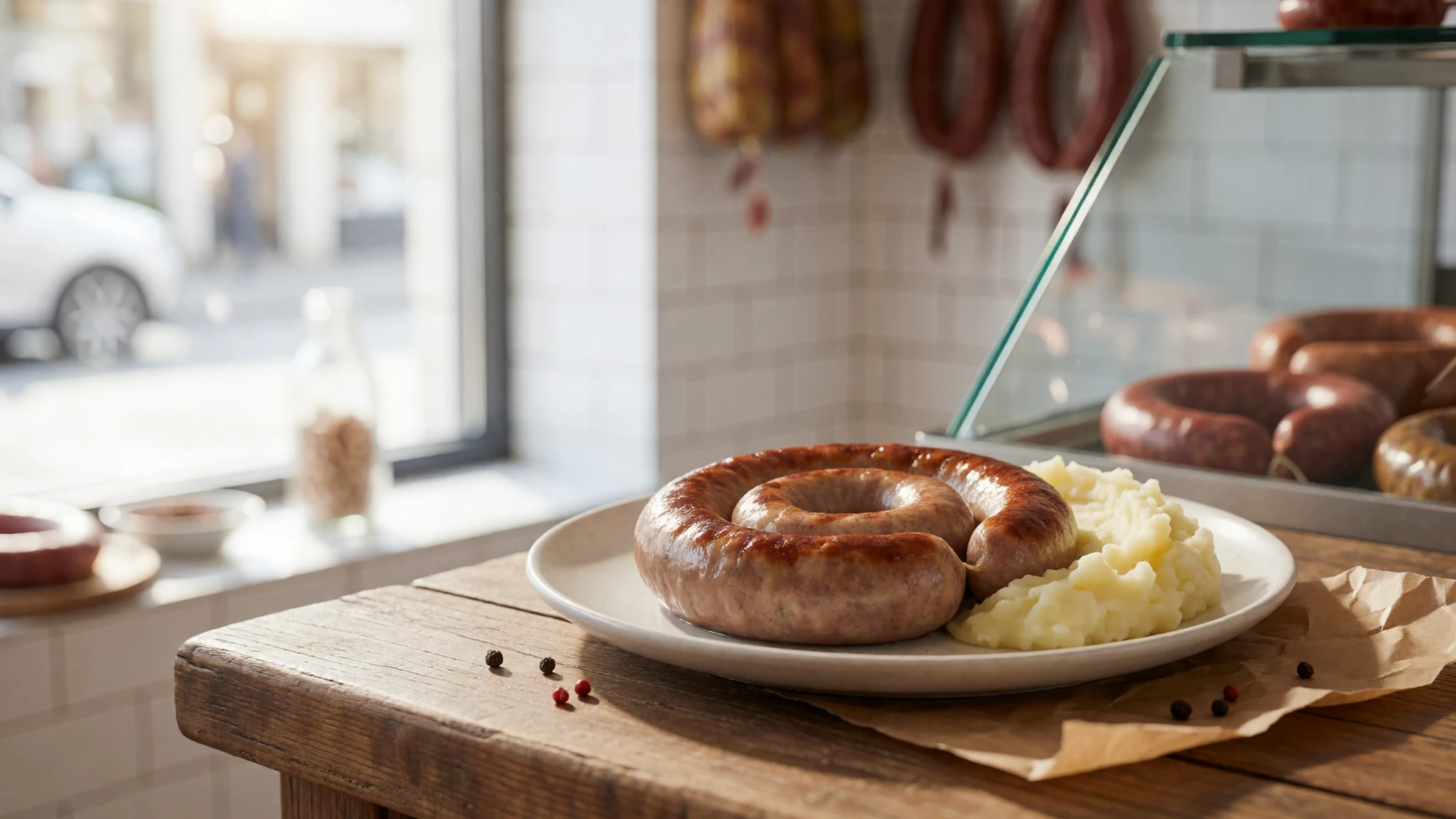
- Borrowdale trout — pub dining rooms and guesthouses in the Borrowdale valley
Locally caught Borrowdale trout is a regular on menus in the valleys around Keswick. It is usually grilled or pan-fried and served simply with lemon and butter. Look for it on a pub dining menu or in a guesthouse dining room in the Borrowdale valley. - Local ale — any traditional pub, especially those near the fells where walkers gather
The area has around 25 breweries, so a pint of local ale is an easy way to taste something made nearby. Ask the bar staff which brewery supplies the valley you are in. A session ale after a long day's walk is the classic choice.
Plan it
Best time. March to June brings the driest weather and the longest days, with September a good alternative for quieter paths. Winter is wet and dark early, and higher fells can hold snow and ice from late autumn into spring.
How long. 3–4
Getting there. Penrith station is the main rail link for the northern lakes, with Stagecoach buses from there on to Keswick and Ullswater. Windermere station is the most convenient for the southern lakes. The West Coast Main Line runs past Oxenholme and Penrith, and the fastest trains from London reach both.
Budget. mid
Tips
- Book accommodation early for school holidays and summer weekends, when villages fill up quickly
- Start popular fells such as Helvellyn at first light to beat the crowds and the afternoon cloud
- Carry a paper Ordnance Survey map or an offline app, because mobile signal is patchy on the fells
- Pack waterproofs and warm layers even when the forecast looks fine
- Carry some cash for small village shops and car parks, as card payment is not always available
- Use the lake steamers and launches to cover distance without driving on narrow roads
Etiquette
- Keep dogs on leads near sheep and lambing fields
- Close gates behind you and stick to the path across farmland
- Pull into passing places on single-track roads to let other vehicles by
Nearby
Sources
- Wikidata Q211778 (CC0)
- Wikipedia: Lake District (rev 1376171541) (CC BY-SA 4.0)
- Wikivoyage: Lake District National Park (rev 5279759) (CC BY-SA 4.0)
- Keswick panorama, Diliff (CC BY 3.0)
- Derwent Water, User:Diliff (CC BY 3.0)
- Catbells northern ascent, Diliff (CC BY 3.0)
- A591 road, Diliff (CC BY 3.0)
- Annotated Scafell Pike panorama, Anon user (CC BY 3.0)
- Wasdale screes, Dougsim (CC BY-SA 4.0)
- Scafell massif, Doug Sim (CC BY-SA 4.0)
- Westmorland cairn, Great Gable, Doug Sim (CC BY-SA 4.0)


