Lake Chala
Lake Chala, Tanzania
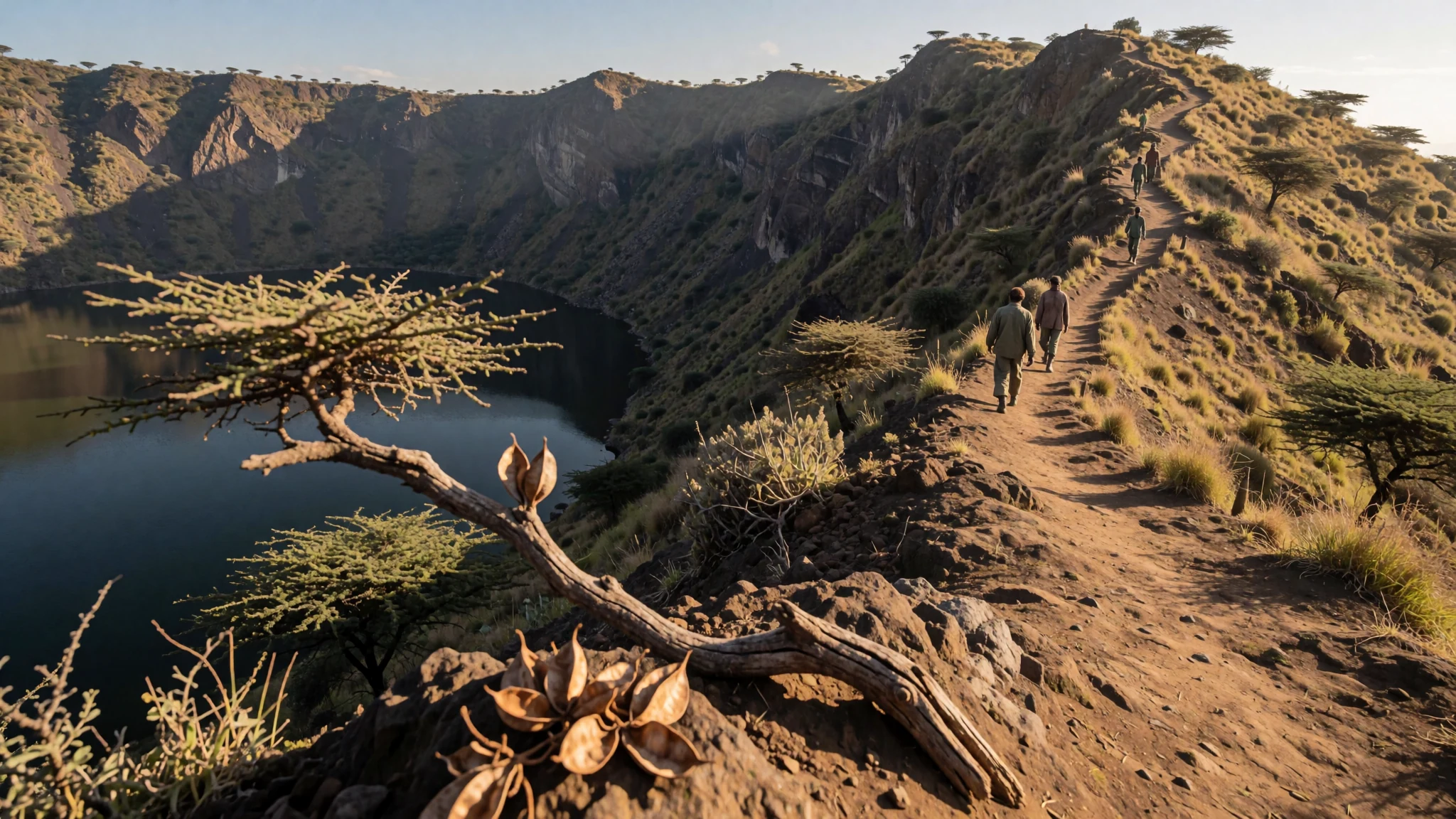
A deep crater lake on the Kenya–Tanzania border, ringed by steep walls and fed mostly by water that has travelled underground from Kilimanjaro's forests.
The place
Lake Chala sits in a volcanic crater on the border between Kenya and Tanzania, east of Mount Kilimanjaro. It lies about 8 km north of the Kenyan town of Taveta and about 55 km east of Rombo District, so many visitors reach it from the Tanzanian side. The basin is enclosed by a steep crater rim that rises to about 170 metres at its highest point, and the water sits well below that wall, dark and still on many mornings. The crater is thought to have formed around 250,000 years ago, and it has changed little since then.
The landscape around it is drier than the lake suggests. Average annual rainfall is about 565 mm, while evaporation from the surface is far higher, so the lake depends on something other than the sky. About 80 percent of its inflow arrives underground. Rain that falls on the forested slopes of Kilimanjaro seeps through the rock and takes about three months to reach the crater, which helps explain how so much water persists in a dry landscape. Around the rim, the land is scrub and farmland, with the mountain filling much of the view to the west on clear days.
Fishing canoes are the main sign of working life on the water. The lake is also home to the Lake Chala tilapia, a fish found nowhere else. That mix of a closed basin, underground supply and a single endemic species makes the place valuable to naturalists, and it is why local care for the shoreline matters.
Its story
The story of Lake Chala is written as much in the surrounding land as in the water. The crater formed about 250,000 years ago, long before any written record of the region. The groundwater that feeds the basin has travelled down from mountain forests far above, a slow journey measured in months rather than hours.
The wider land has an older human story. Tanzania is among the places on Earth where people have lived for an unusually long time, with fossil evidence of humans and their predecessors reaching back more than two million years. Hunter-gatherer groups came first. Over later centuries, Bantu-speaking communities moved into the region in a series of migrations, bringing farming with them. Nilotic herders followed and kept arriving well into the 18th century, so the land around the lake carries layers of hunting, farming and pastoral life.
Trade reached the coast much earlier. Early in the first millennium CE, traders and other travellers from the Gulf region and western India were arriving on the East African coast. By the eighth or ninth century, Muslims were practising Islam along the Swahili coast. Wealthy city-states such as Zanzibar and Kilwa Kisiwani grew up there, with trade links that reached inland. Lake Chala sits away from that coastal history, but the same long settlement, migration and exchange shaped the borderland where it lies.
What to see
- The crater rim — The crater rim above the lake, Tanzanian side
Walking the crater rim is the simplest way to understand the lake. From the top, the steep inner walls drop straight towards the water, and you can see how the basin is enclosed on every side. Paths can be rough and unmarked in places, so a local guide who knows the way up and down is sensible. Go early, when the light is clearer and the air is cooler.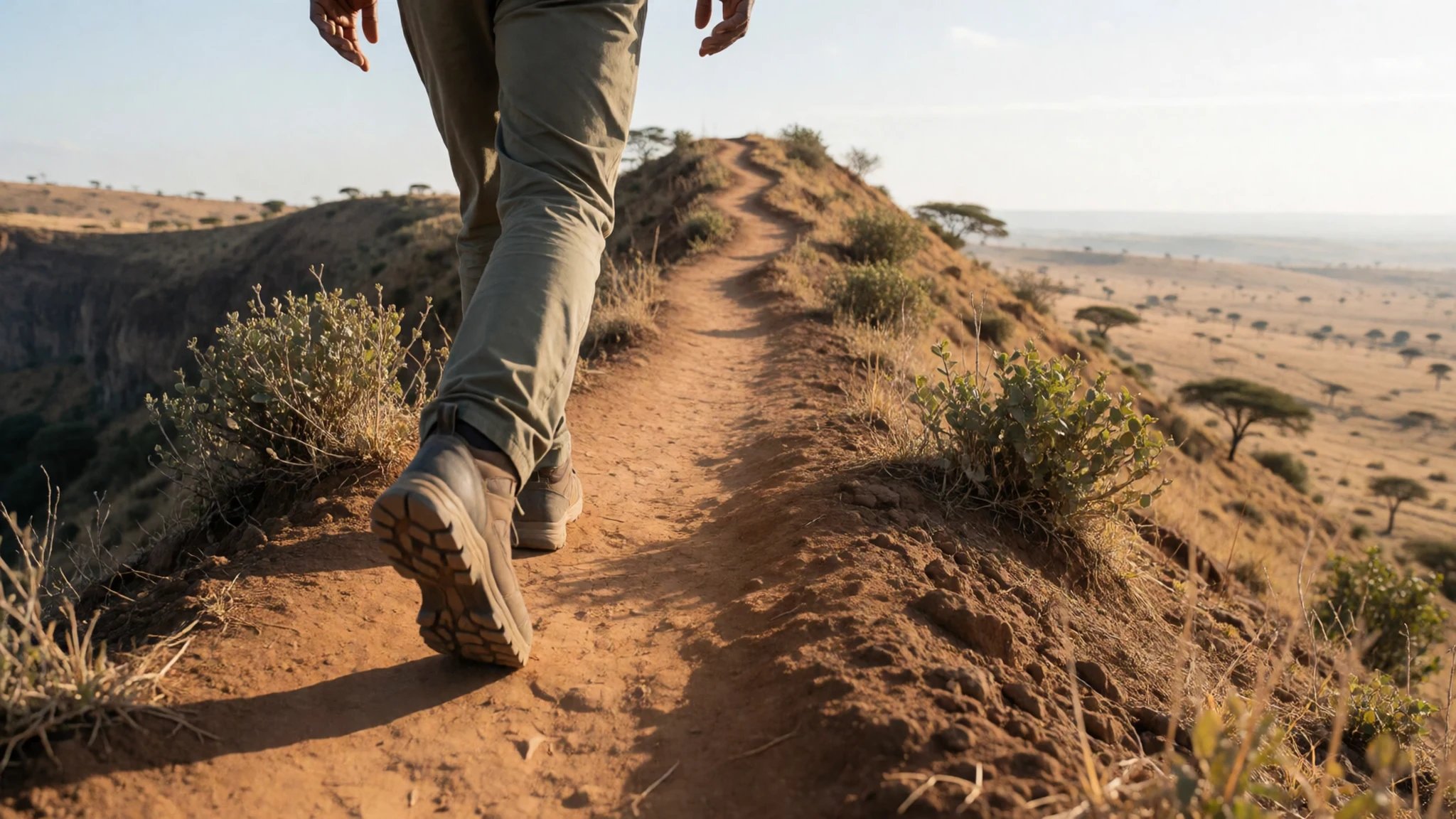
- The lake shore and fishing canoes — The lake shore, reached by tracks from the rim
The shoreline is where the lake's working life is easiest to see. Fishing canoes are launched and drawn up along the edge, and crews work the shallows for the endemic tilapia. Ask before photographing fishers, and expect a short conversation rather than a quick snap. Early morning is the best time to watch the boats go out.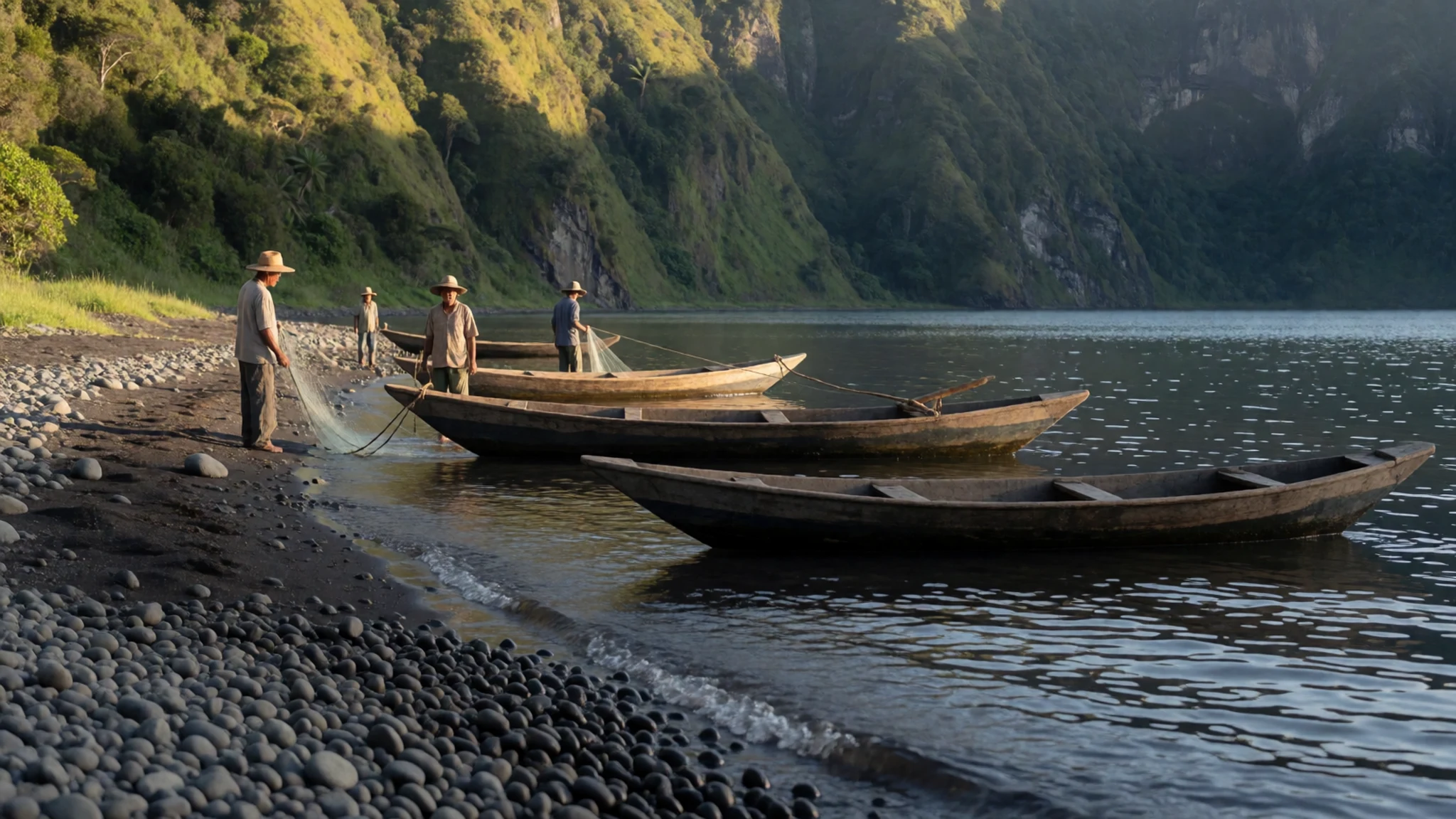
- The crater from the air — The crater, viewed from high rim points
From the air, the shape of the crater is clearest: a rounded basin sitting inside its rim, with water filling the lowest part. Aerial photographs show how sharply the land falls away at the lake's edges. Flights over the area are not a routine visitor service, so most people see this view in photographs. From the rim on foot, you can get a similar sense of scale.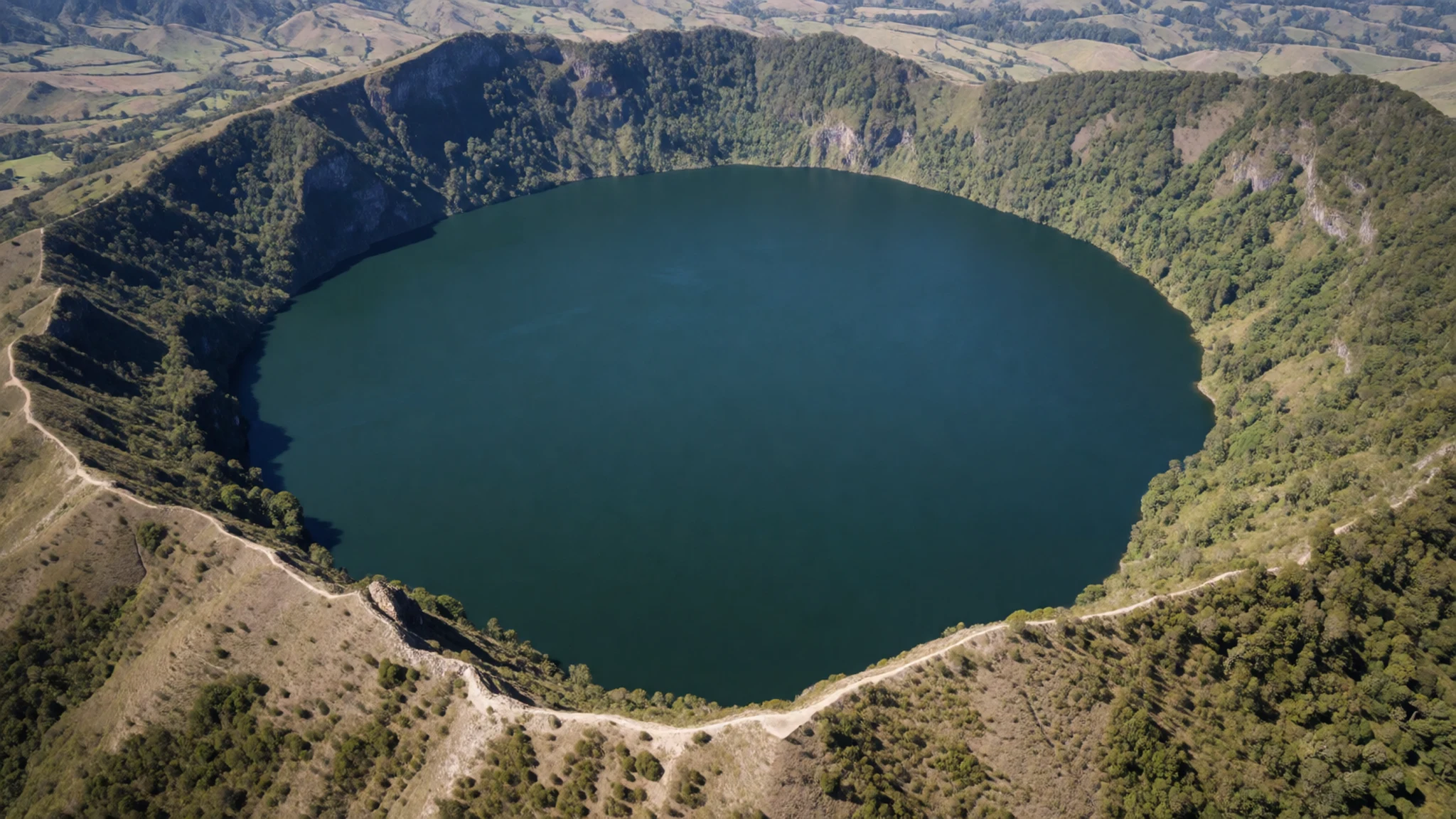
- Taveta and the Kenyan side — Taveta, the border town on the Kenyan side
The Kenyan side of the lake is reached through Taveta, a border town about 8 km away. It is a practical base for travellers moving between the two countries, but border rules and visa requirements change, so check the official government sites before you cross. Keep identity documents with you, and do not rely on informal crossings. The water looks the same from either shore.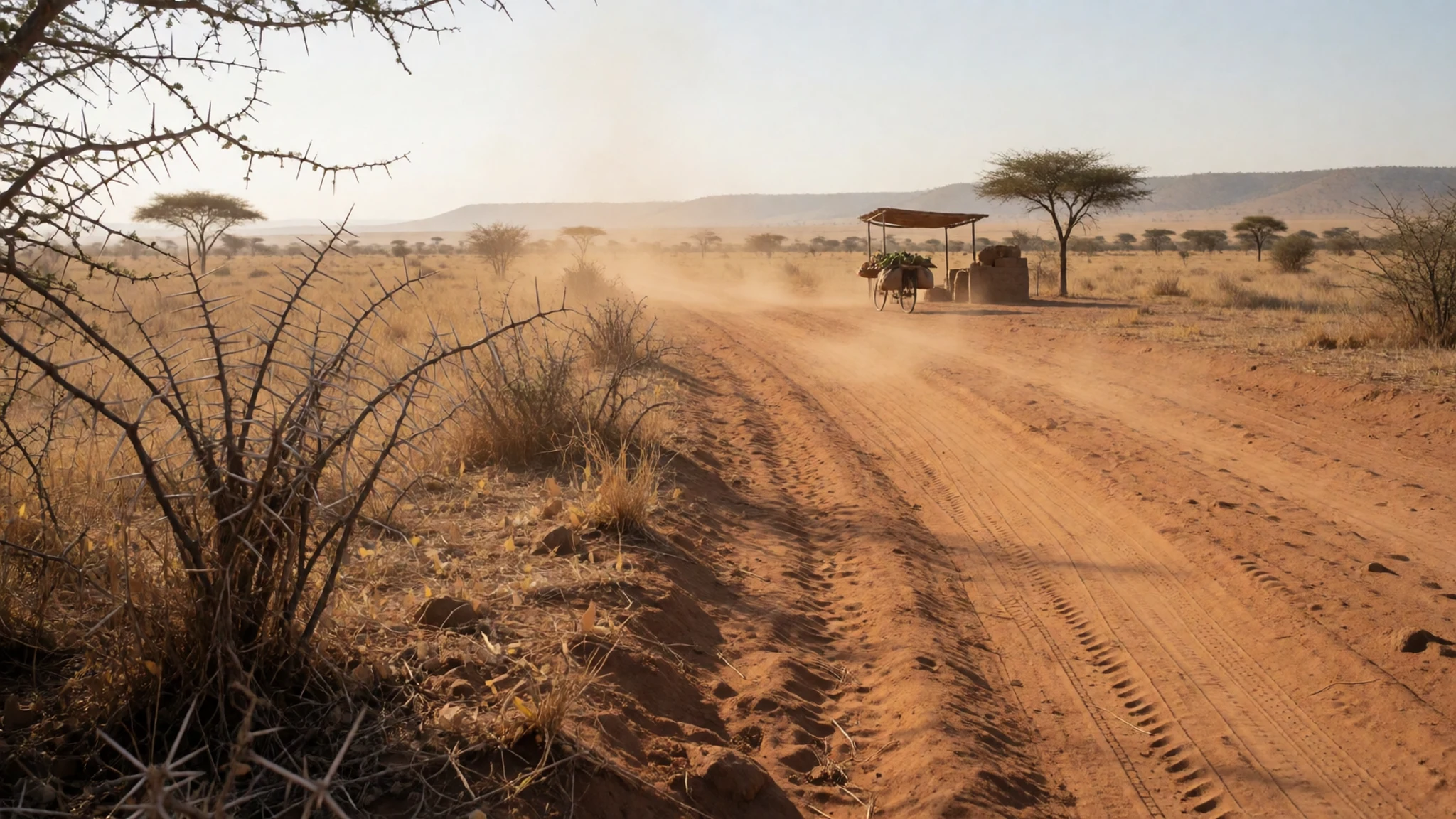
- Kilimanjaro's forested slopes — The southern slopes of Kilimanjaro, reached from Moshi
The groundwater that feeds the lake starts as rain on the forest zone of Kilimanjaro, well upslope from the crater. That forest is the reason the lake is not simply a dry hole in the ground. Visits to the slopes are usually arranged through tour operators based in Moshi or Arusha, where you can ask about trails and conservation rules. Mornings are often clearer for views of the mountain.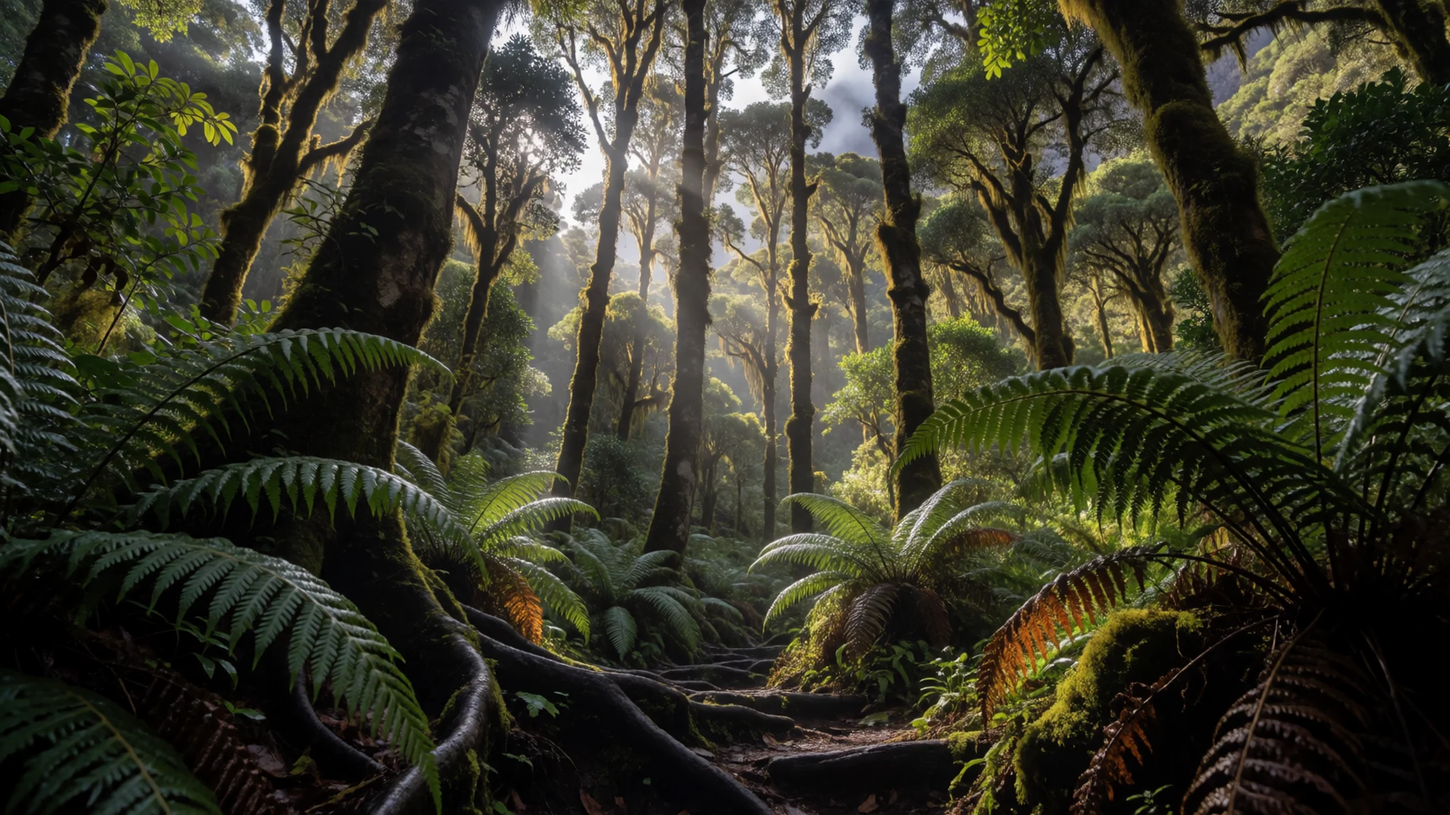
Culture
Lake Chala lies in a region where Swahili-speaking and Maasai communities live close together, and visitors are judged largely by how they greet people. The common Swahili greeting to an elder or a senior person is 'shikamoo', and the usual reply is 'marahaba'. Adding a title, such as 'shikamoo bwana' for a man or 'shikamoo mama' for a woman, shows respect and is warmly received. If you are seen working while others rest, people may call out 'pole na kazi', so a friendly acknowledgement goes a long way.
Modesty matters more in villages than at the water's edge. Covering shoulders and knees is the easiest way to show respect, and a kanga, the brightly printed cotton wrap, works well as a discreet cover.
Maasai people often wear striking, colourful clothing and are a frequent subject for cameras. Some expect a small fee for a portrait, so settle that before the shutter clicks, and never photograph people, homes or ceremonies without asking first.
What to wear
Traditional dress around the lake reflects the mix of peoples who live here. The kanga is the everyday textile for many women: a rectangle of printed cotton, often with a Swahili saying woven into the border, worn as a wrap, skirt or head covering. Maasai communities are known for their beadwork, their red cloth and the shuka, a plain or checked wrap worn by men and women. These colours are often what visitors remember most.
What people wear now is mostly everyday clothing. In towns you will see jeans, shirts, dresses and school uniforms, while women at home and at church often wear kanga or kitenge fabrics. Men usually wear trousers and shirts. Maasai dress appears on ceremonial occasions and in many rural areas, and there is no single costume that stands for the whole region.
What a visitor should wear is lightweight clothing that covers the shoulders and knees, which protects against strong sun and mosquitoes and suits village visits. Trousers or a knee-length skirt are a good default, and a folded kanga in your bag gives you an easy cover. The crater rim is dusty and uneven, so closed walking shoes or sturdy sandals with straps are better than flip-flops. Bring a hat and a light layer for cool early mornings.
What to eat
- Ugali — A village eatery or family meal; some upscale restaurants in Arusha and Moshi also serve it
The national staple, a stiff porridge of maize flour, served with stews and cooked meat and eaten with the hands. Recipes differ from village to village, and many visitors find it plain at first. Try it over a family meal rather than from a tourist menu, where it is often served with several sauces.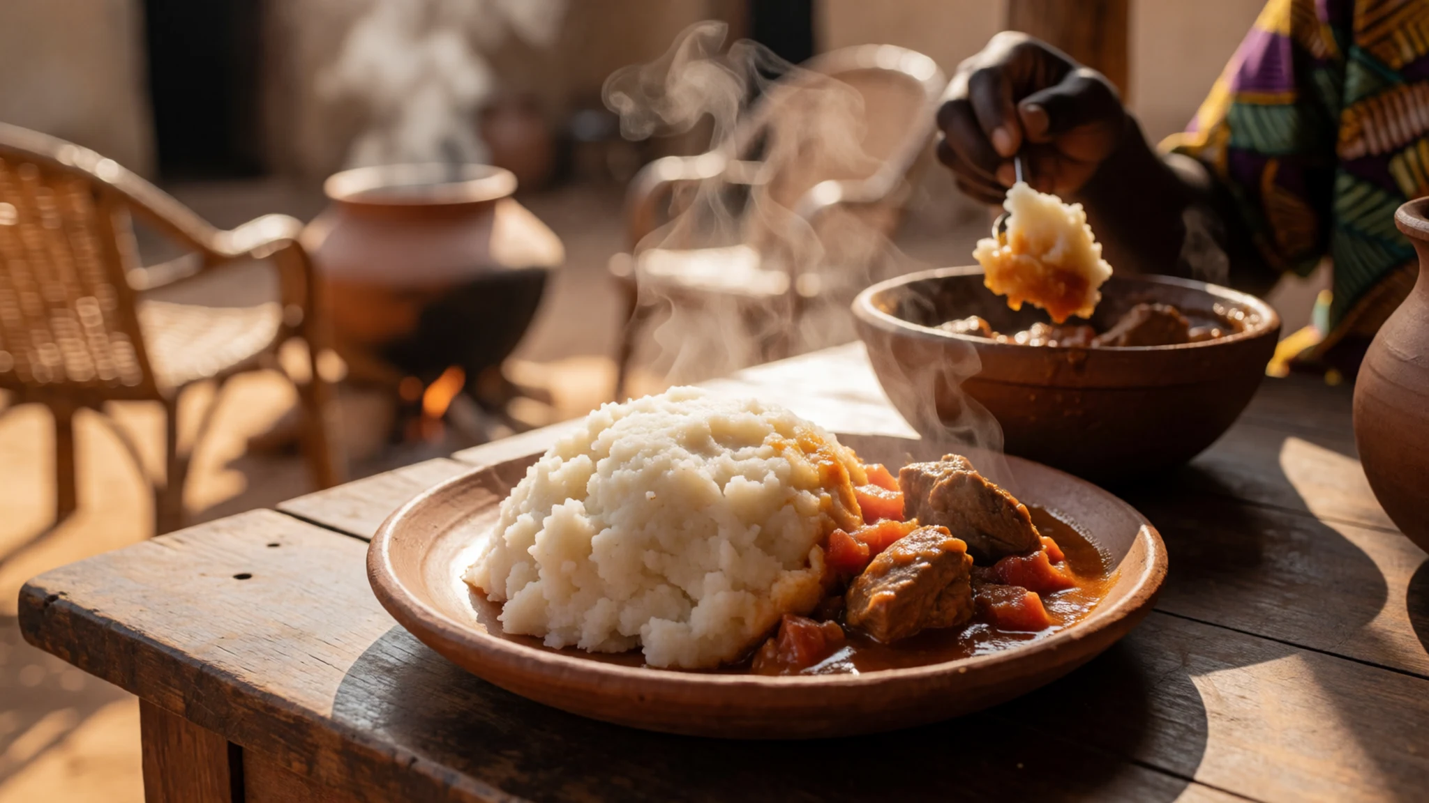
- Mchicha — Lunch spots and family kitchens in the lake towns
A green vegetable stew, cooked with meat or fish and eaten with ugali or rice. The greens are cooked down slowly with onion and tomato, so the sauce tastes richer than the leaves suggest. It is a common lunch dish that rewards a patient cook.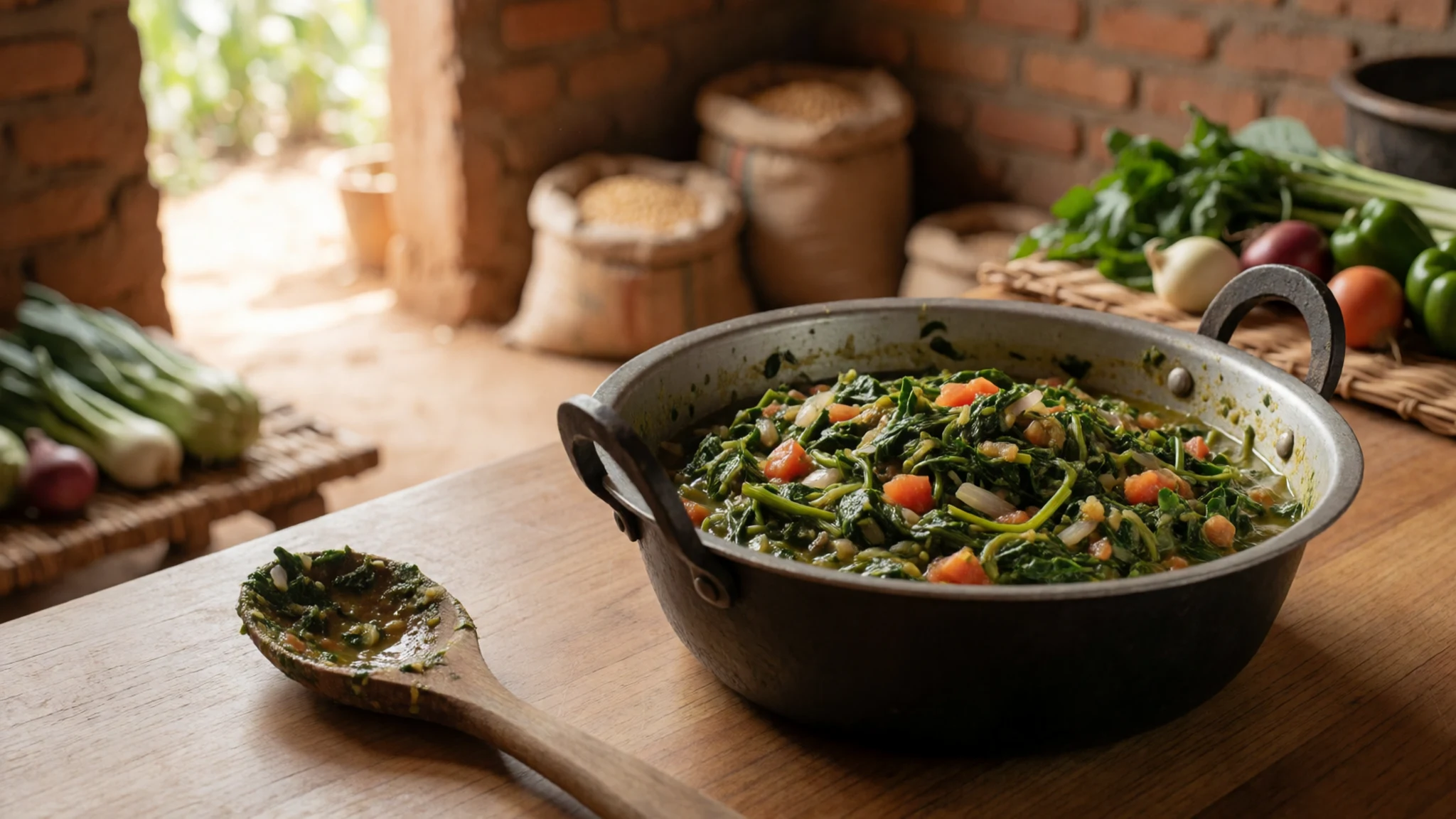
- Mtori — A family kitchen or a simple eatery in a nearby village
A slow-cooked beef stew with bananas, which soften and thicken the sauce as it simmers. It is a home-style dish that suits cool evenings, and it is best eaten with the hands alongside a little ugali. Make sure the meat is cooked through before you eat. - Mandazi — Morning stalls and bakeries in town centres, from first light
A lightly sweet fried dough, similar to a doughnut without a hole, usually made fresh each morning. It makes a cheap breakfast with tea or coffee and is best eaten warm. Go early, because batches often sell out. - Roast corn and chips — Roadside stalls and evening street corners in the towns near the lake
Corn cobs grilled over charcoal and chips fried over a roaring fire are sold cheaply at roadside stalls. The corn is sweet and smoky, and the chips are crisp at the edges. Eat them while hot, and choose a stall where the fire looks busy.
Plan it
Best time. June to September suits a lake visit best. These are the drier months, when the rim paths are firmer and the sky is usually clearer. The rainy spells make the tracks slippery and views can be hazy. Go in the cool early morning or mid-afternoon in any season.
How long. 2–3
Getting there. Kilimanjaro International Airport, between Arusha and Moshi, is the main gateway. The last leg is by road, usually by hired car or driver towards the lake's eastern side. Roads can be rough, so allow more time than the map suggests.
Budget. mid
Tips
- Hire a driver with a 4x4 for the final road, as the surface can be loose and uneven
- Start early: mornings are cooler, clearer and quieter on the rim
- Carry cash in shillings for small purchases, since card payments are unreliable outside towns
- Take more water than you think you need, and drink only filtered or boiled water
- Arrange a local guide in advance, as you are likely to find few other visitors on the trails
Etiquette
- Ask before photographing people, especially fishing crews and Maasai families
- Greet elders with 'shikamoo' and wait for their reply before moving on
- Keep to the paths and do not walk through fields or into homes
Nearby
Sources
- Wikidata Q1059382 (CC0)
- Wikipedia (rev 1366204829) (CC BY-SA 4.0)
- Wikivoyage (rev 5408710) (CC BY-SA 4.0)
- Lake Chala — Joachim Huber (CC BY-SA 2.0)
- Aerial Photo of Lake Chala — Hansbaer (CC BY 3.0)
- A fishing canoe on Lake Chala — Wlenjo (CC BY-SA 4.0)
- Lake Chala 2 — Daniel Msirikale (CC BY-SA 4.0)
- Lake Chala, Tanzania (2391894567) — Joachim Huber (CC BY-SA 2.0)
- Lake Chala, Tanzania (2391908179) — Joachim Huber (CC BY-SA 2.0)
- Lake Chala, Tanzania (2391938959) — Joachim Huber (CC BY-SA 2.0)
- Lake Chala, Tanzania (2391947097) — Joachim Huber (CC BY-SA 2.0)


