Lake Baikal
Lake Baikal, Russia
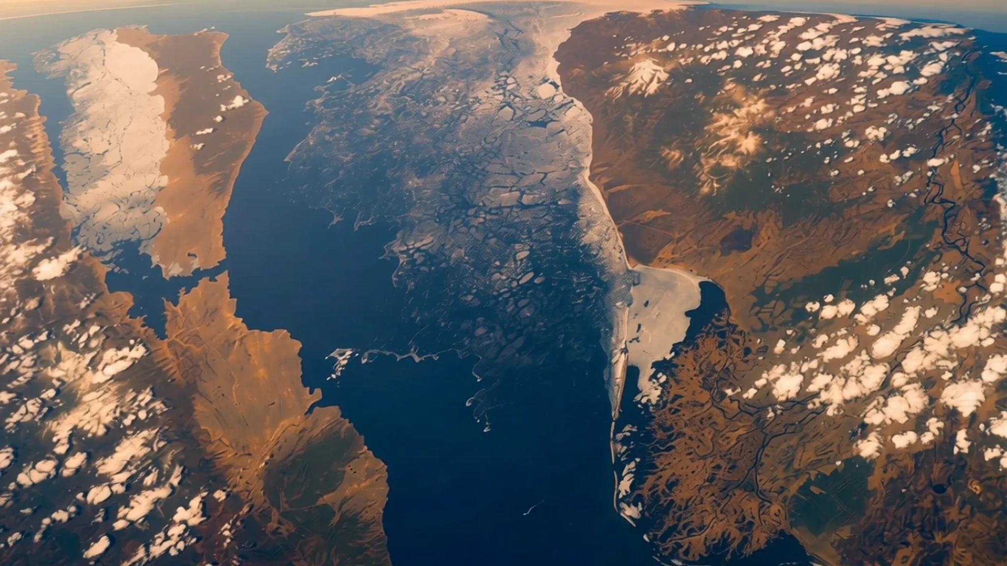
A rift lake in southern Siberia that holds more fresh water than any other lake, and it is worth the long trip.
The place
Lake Baikal lies in southern Siberia, stretched between Irkutsk Oblast to the northwest and the Republic of Buryatia to the southeast. Its surface sits about 456 metres above sea level, and the water fills a long valley that the Baikal Rift Zone has been slowly stretching open. The lake runs roughly 636 km from end to end and about 79 km across at its widest, making it the second-largest lake in Eurasia by area after the Caspian Sea. Its real distinction is depth. At 1,642 metres it is the deepest lake on Earth, and because of that depth it holds more fresh water by volume than any other lake, more than all the North American Great Lakes combined. The water is famously clear and stays cold even in midsummer. Around the shore, larch, pine and birch forest comes close to the water, and the lake is home to thousands of plant and animal species, many of which occur nowhere else. The eastern shore is home to Buryat communities who herd goats, cattle, sheep and horses. The land east of the lake is called Transbaikalia, while the wider area around the water is sometimes called Baikalia. UNESCO has recognised the lake as a World Heritage Site since 1996, a status that shapes how the shoreline is managed today.
Its story
The story of Baikal begins underground. Rather than a basin carved by ice, the lake fills a crack in the continental crust, a rift valley where the land on either side has been moving apart over a vast span of geological time. As the valley floor dropped, water collected and deepened the basin, and the process has never really stopped. Geologists count Baikal as the oldest lake on the planet, with a history reaching back tens of millions of years, long enough for its waters to develop a unique web of life. Many of its animals, including a small freshwater seal, are found nowhere else, having adapted over ages to cold, dark water. People arrived much later. The Buryats and other peoples of the region built lives around the lake and its rivers, fishing, hunting in the forest and herding on the steppe-edged uplands. Russian explorers and settlers reached the shore in the centuries that followed, and the Trans-Siberian Railway later brought steady traffic along the southwestern edge. The twentieth century brought industry and military projects, and concern about pollution grew alongside them. UNESCO listed the lake as a World Heritage Site in 1996, and that recognition now sits alongside continuing debates over how far the shoreline should be protected and how far it should be developed.
What to see
- Olkhon Island
Olkhon is the largest island on the lake and the best place to see Buryat culture alongside varied scenery, from open steppe-like plains to bare cliffs and sandy coves. Villages on the island keep herding and fishing traditions alive. The Shaman Rock on its western side is a sacred site for local people, so keep to the paths, respect any offerings and do not disturb them.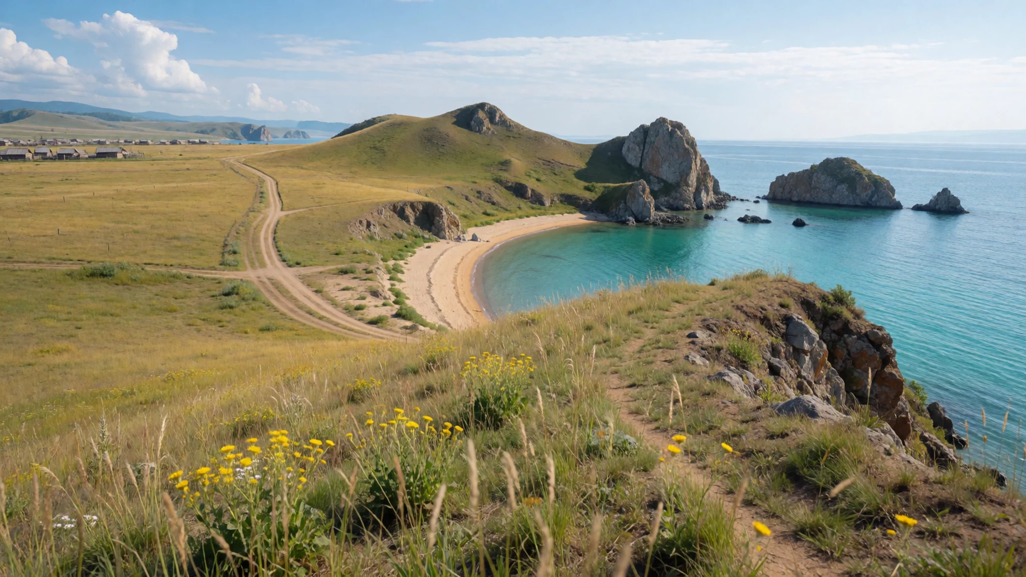
- Listvyanka and the western shore trail
Listvyanka is the most visited lakeside town, reached by bus from Irkutsk, with hotels and easy walks along the water. From here the western shore trail runs about 55 km to Bolshoye Goloustnoye, usually walked in three days with camping through taiga forest. A shorter day hike goes to Bolshiye Koty and can return by hydrofoil in summer. Much of the route lies in Pribaikalsky National Park, where a permit must be arranged in advance, and there is no mobile signal on most of it.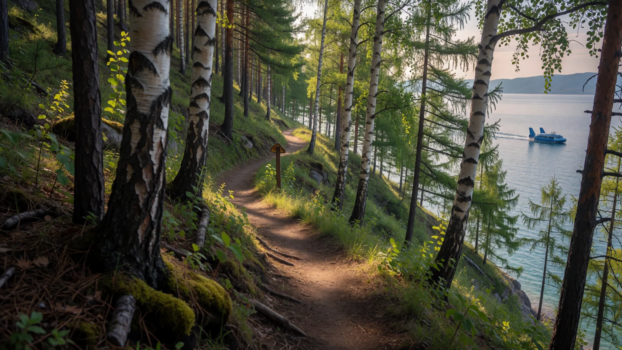
- Baikalsky Nature Reserve
The Baikalsky Nature Reserve sits on the eastern side of the lake in the Republic of Buryatia, protecting forest, wetland and shoreline that support many of the lake's endemic species. Access is controlled, as in most Russian reserves, so visits are usually arranged through park offices or licensed tour operators. Ask about seasonal restrictions before setting out, and expect basic facilities.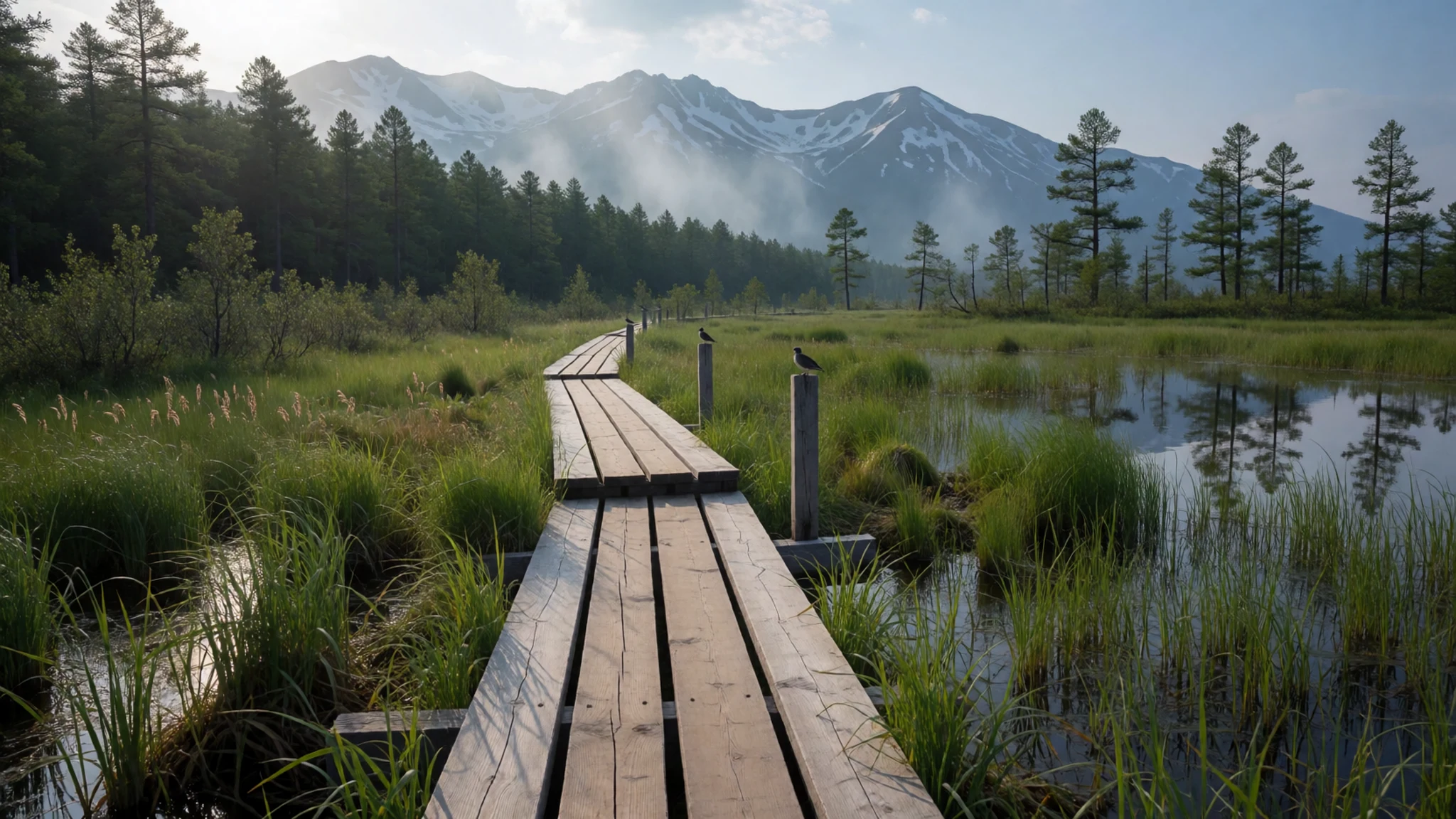
- Barguzinsky Nature Reserve
Barguzinsky Nature Reserve protects a long stretch of mountain forest and shoreline on the lake's northeastern side. Its forests shelter a wide range of animals and birds, and the terrain is remote, with few roads inside the boundary. Trips are generally organised with a guide, so plan transport and accommodation well ahead. Weather can change quickly on the open water and in the hills.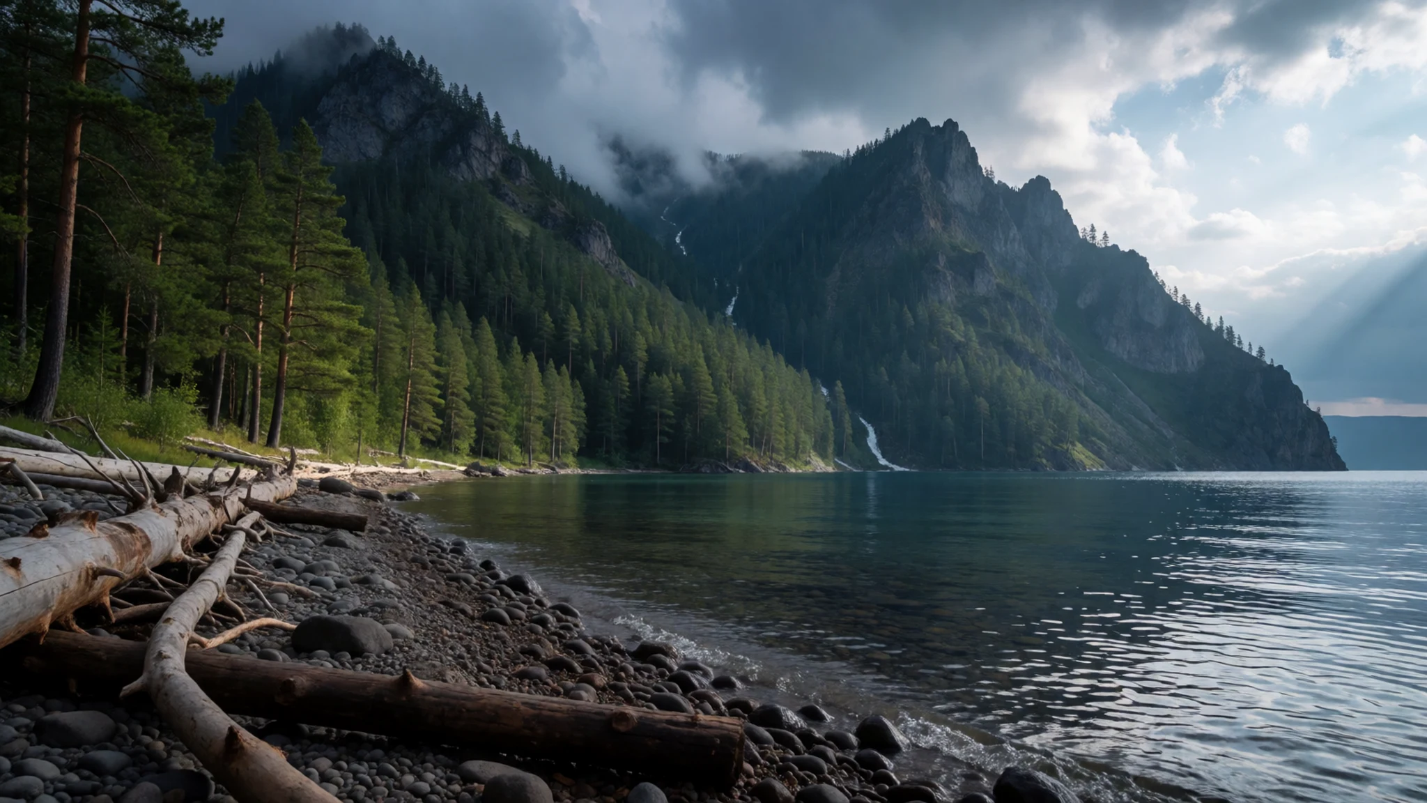
- Frolikha Adventure Coastline Track
The Frolikha Adventure Coastline Track follows the rugged northern shore of the lake, a route for experienced hikers comfortable with remote country and changeable weather. Sections can be long, with few shelters and limited access to help, so carry food, water, warm layers and a clear plan for turning back. Check conditions with local guides before committing to a multi-day walk.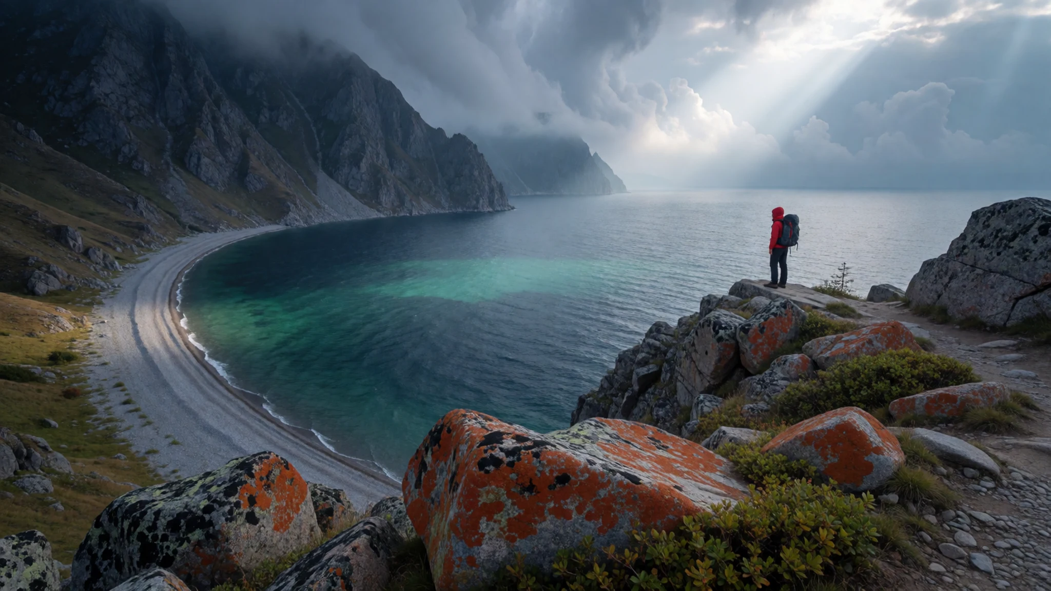
Culture
Lake Baikal is surrounded by Buryat communities whose everyday life still follows older patterns: herding, seasonal movement and a close link between people and the land. Their Buddhist and shamanic traditions sit side by side, and many families keep rituals tied to particular rocks, springs and trees. On Olkhon, the Shaman Rock is still visited for ceremonies, and local guides often explain its meaning. Hospitality is central, and visitors are usually offered tea and food when they enter a home or a guesthouse. The lake is also a place of work and daily life, with fishermen, park staff and villagers depending on it, and noise carries far across still water late at night. Respect for the lake matters as much as respect for people, so take your litter away and keep to marked tracks. At sacred sites, do not climb on rocks marked with offerings or take stones from them, and ask before photographing anyone at a ceremony.
What to wear
Around Lake Baikal, the traditional dress of the Buryat people centres on the deel, a long, loose robe with wide sleeves and a sash at the waist. Deels were traditionally made from wool and felt for everyday use, with silk or brocade reserved for festive occasions, and their colours and trim signalled household and status. Silver ornaments, embroidered sashes and boots with decorated tops completed the outfit. Today the deel is worn mainly for festivals, weddings and national holidays, while everyday clothing in towns such as Irkutsk and Ulan-Ude looks much like anywhere else in Russia: jeans, padded jackets, sensible trainers and knitwear. The lake is cooler than the towns, and the wind off open water can feel sharp even on warm days, so pack a windproof layer. Dress modestly at Buddhist and shamanic sites, covering shoulders and knees, and take off hats inside temples. For taiga trails, wear boots with good grip, since roots and wet ground are common, and bring a light waterproof.
What to eat
- Buryat buuz (steamed dumplings) — Buryat cafes and the central market in Ulan-Ude
Buuz are large steamed dumplings filled with minced mutton or beef, onion and sometimes fat, and they are a staple of Buryat cooking. Cooks steam them in tiered pots and serve them hot, often with a little broth on the side. They are filling, so one or two make a full meal.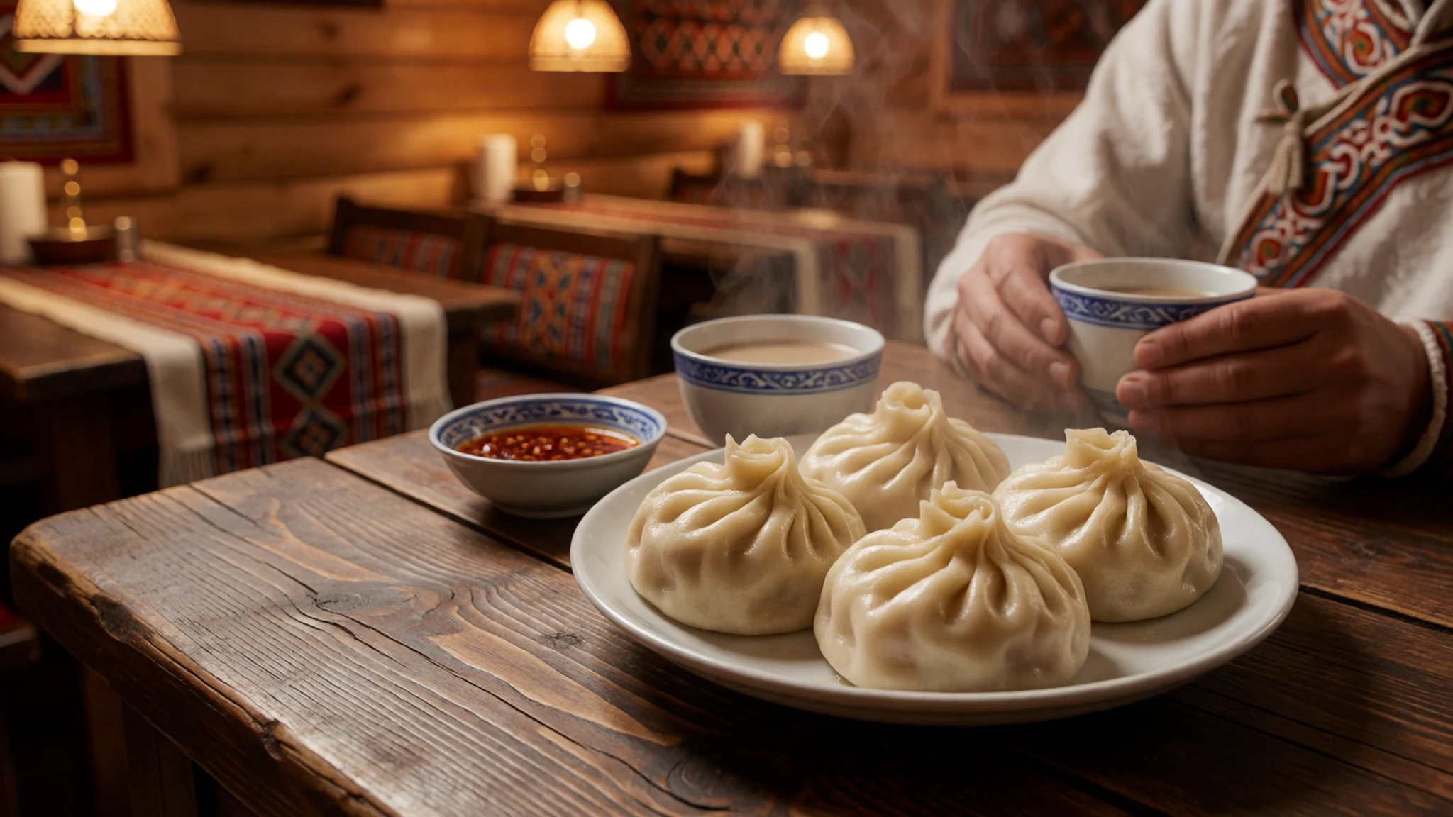
- Smoked lake fish — Fish stalls and sheds on the lake edge in Listvyanka
Fish sellers at the lake edge in Listvyanka often sell smoked fish from small stalls and sheds near the shore. Omul, the prized local whitefish, has been under catch restrictions, so ask what is on offer rather than assuming. Other lake fish are smoked the same way and make a good lunch eaten on a bench by the water.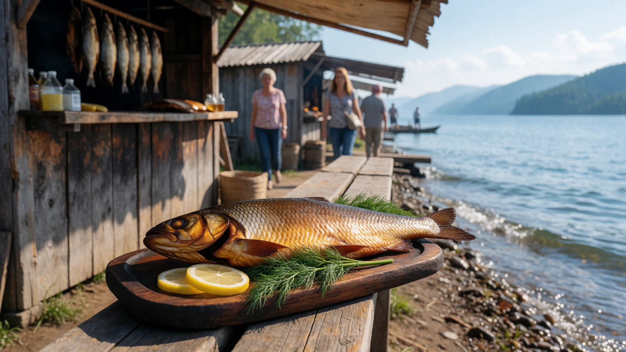
- Pirozhki (filled buns) — Bakeries and street kiosks in Irkutsk and Listvyanka
Pirozhki are small baked or fried buns with fillings such as cabbage, potato, egg or meat. They are sold hot from bakeries and kiosks and make an easy snack for a long bus or train ride. Ask what is inside, since labels are often only in Russian.
- Black tea and bread — Waterfront cafes and small groceries in Listvyanka
Small cafes and groceries along Listvyanka's waterfront serve strong black tea, often with fresh bread, butter and jam. It is a simple way to warm up after a cold walk. Settings are modest and friendly rather than polished, and the pot is usually refilled without fuss.
Plan it
Best time. June to September suits hiking, boat trips and open water, with the warmest days in July and August. Shoulder months are quieter but colder and windier, and winter brings deep cold, with ice that is strong in some places and dangerously thin in others.
How long. 3–4
Getting there. Irkutsk has the nearest airport, reached by flights from Moscow and several other Russian cities. From Irkutsk, buses leave throughout the day for Listvyanka, a ride of about an hour and a half. The Trans-Siberian train follows the southwestern shore for several hours, with a stop at Slyudyanka.
Budget. mid
Tips
- Book flights and lakeside accommodation early for July and August, when Listvyanka fills up
- Arrange the Pribaikalsky National Park permit well before you travel
- Check the weather forecast before any boat trip, since cold storms can rise quickly
- Carry cash for small stalls and village shops, as card payment is not always possible
- Take water, warm layers and a basic first-aid kit, because medical help may be far away
Etiquette
- Keep to marked paths and take all litter away with you
- Ask before photographing people, especially at ceremonies or sacred sites
- Remove shoes when you enter a home or guesthouse if others do so
Nearby
Sources
- Wikidata Q5513 (CC0)
- Wikipedia: Lake Baikal (rev 1382990676) (CC BY-SA 4.0)
- Wikivoyage: Lake Baikal (rev 5370226) (CC BY-SA 4.0)
- Olkhon Island and Lake Baikal, Jason Rogers (CC BY 2.5)
- Lake Baikal from satellite, NASA/GSFC MODIS (Public domain)
- Map of Baikal Lake, Sansculotte (CC BY 3.0)
- Yenisei river basin map, Kmusser (CC BY 3.0)
- Baikal 1739, Xchgall (CC BY 3.0)
- Lake Baikal from OrbView-2/SeaWiFS, NASA (Public domain)
- Crack in the ice, Lake Baikal, Aerohod (CC BY-SA 4.0)
- Circles in Thin Ice, Lake Baikal, ISS Crew Earth Observations (Public domain)


