Koutammakou
Koutammakou, Togo
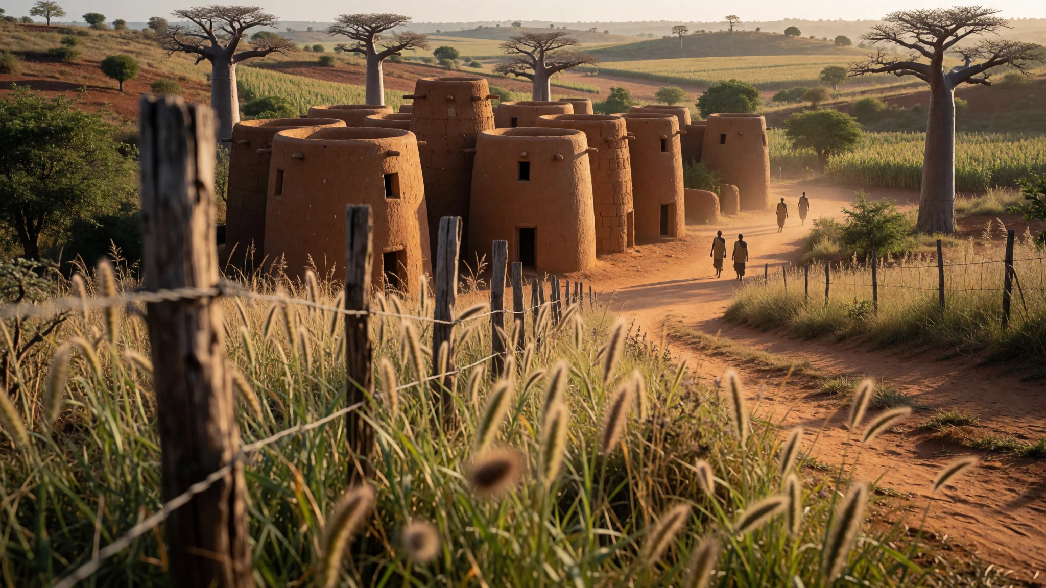
Koutammakou is a living cultural landscape where mud tower-houses and community rules shape what the day looks like for visitors.
The place
Koutammakou (koutammakou) sits along the border of northern Togo and Benin, known as the Land of the Batammariba. It’s a UNESCO-designated cultural landscape, and what you feel first is the architecture: clusters of tall, mud tower-houses called Siken that still serve as preferred homes. Many have two floors, and some use flat roofs, so the settlements read as layered and practical rather than purely decorative.
The landscape is also part of the story. Rather than an isolated “site”, Koutammakou is a network of valley settlements and escarpment edges, with farming lines, sacred spots, and everyday spaces braided together. Baobabs and forest pockets punctuate the terrain, and they matter because community life has mapped pathways around ceremonial areas.
From a traveller’s perspective, this is not a “walk-and-great-views” day trip. Expect a slower rhythm driven by guides, permission, and respect. Your comfort will depend on timing: heat can build quickly, and later hours can mean dust as well as fatigue. Costs can stay reasonable, but the value is in doing it properly—arranging local help and following the rules at village entry points.
If you like places where people still live their traditions (and where that comes with boundaries), Koutammakou delivers. It’s atmospheric, but it’s also honest: getting here takes effort, and the experience only works when you treat the community as the host, not a backdrop.
Its story
The people associated with Koutammakou, the Batammariba, have lived on this landscape for centuries. Their presence is tied to the way the settlements are built and organised: mud tower-houses (Siken) are the most visible symbol, but the real structure is social and spiritual too. The houses and the surrounding land reflect animistic beliefs, with space managed according to what is permitted, sacred, or communal.
UNESCO recognition frames Koutammakou as more than a collection of buildings. The site was inscribed and then later expanded, which helped put the spotlight on both the cultural landscape and the continuing skills behind it. A safeguarding approach followed through the UNESCO framework focused on intergenerational transmission. That means knowledge isn’t treated as something frozen in time; it’s described through everyday practices and ceremonies—construction knowledge for Siken, making objects used in daily life and rituals, traditional healing, music and dance, oral traditions, archery, and the careful mapping of sacred areas.
In practical terms, these layers show up in how visitors are expected to move. Some spaces are for living households, some are for gathering, and some are restricted. Photography can’t be assumed, and access to certain parts of the settlement involves permissions through local entry points.
The upshot is that Koutammakou doesn’t feel like a museum town. It feels like a community, still making, maintaining, and teaching the very things travellers come to witness.
What to see
- Nadoba Village Market — Nadoba
Nadoba is the social and economic hub, with weekly trading that brings together people from scattered settlements. You’ll see exchanges for everyday materials and tools, plus locally made goods tied to Batammariba life.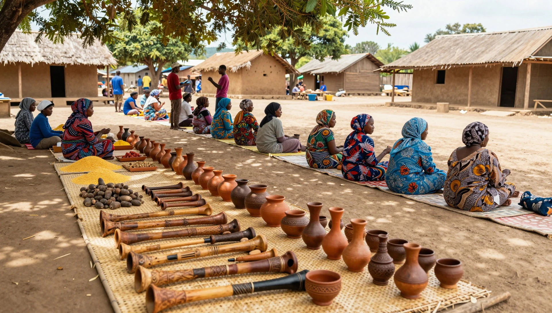
- The Tata Alexander Fortresses — Tata Alexander area
The Tata Alexander Fortresses are a photogenic cluster of multi-tiered mud tower-houses. With a local guide, you can understand how the interiors connect to spiritual meaning, rather than just spotting shapes from outside.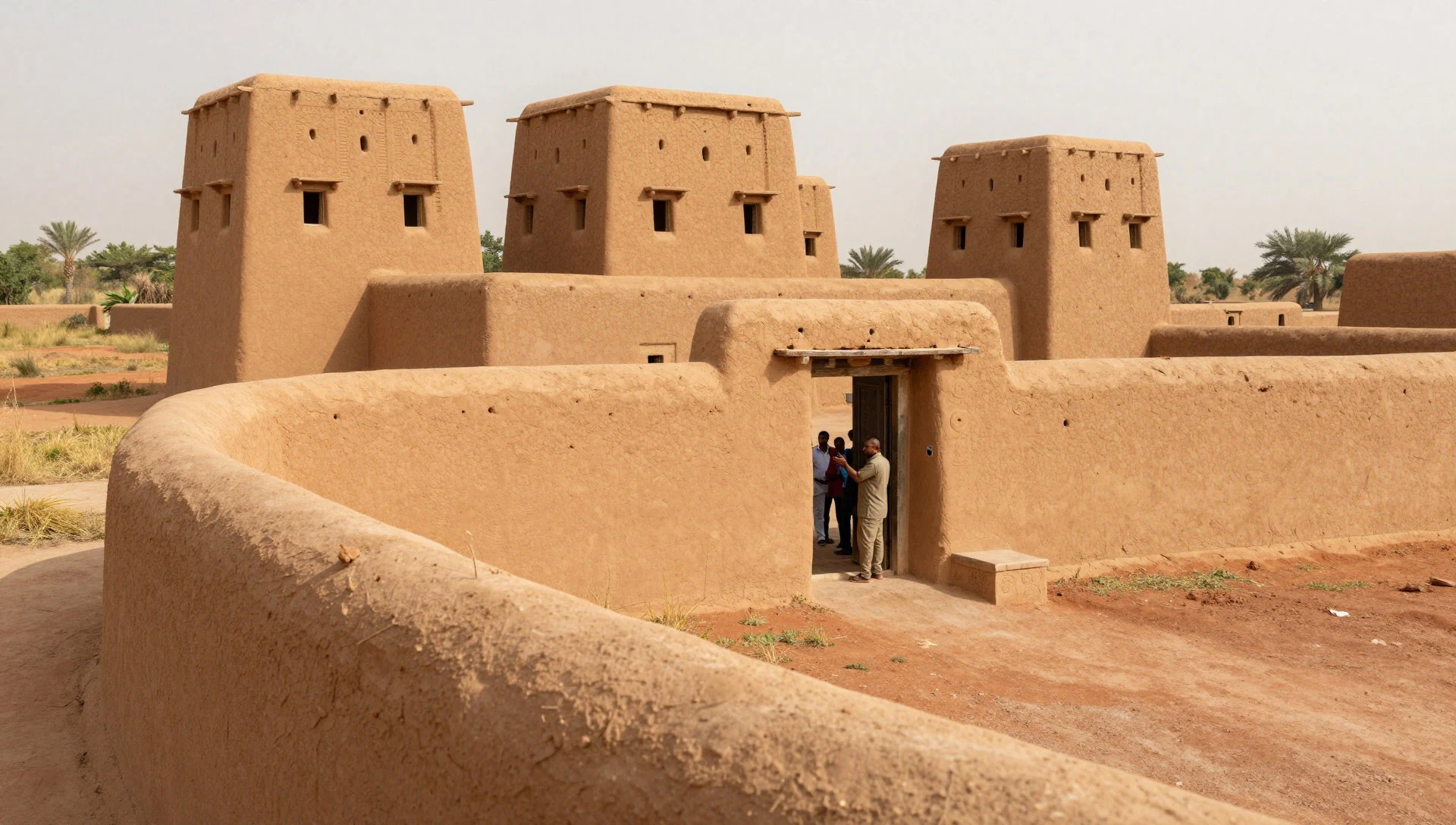
- Sacred baobab tree — Near Nadoba
A large baobab nearby Nadoba stands as a landmark for the landscape’s sacred geography. It’s a good pause point to notice how settlements, trees, and routes are linked to community values and ceremonial spaces.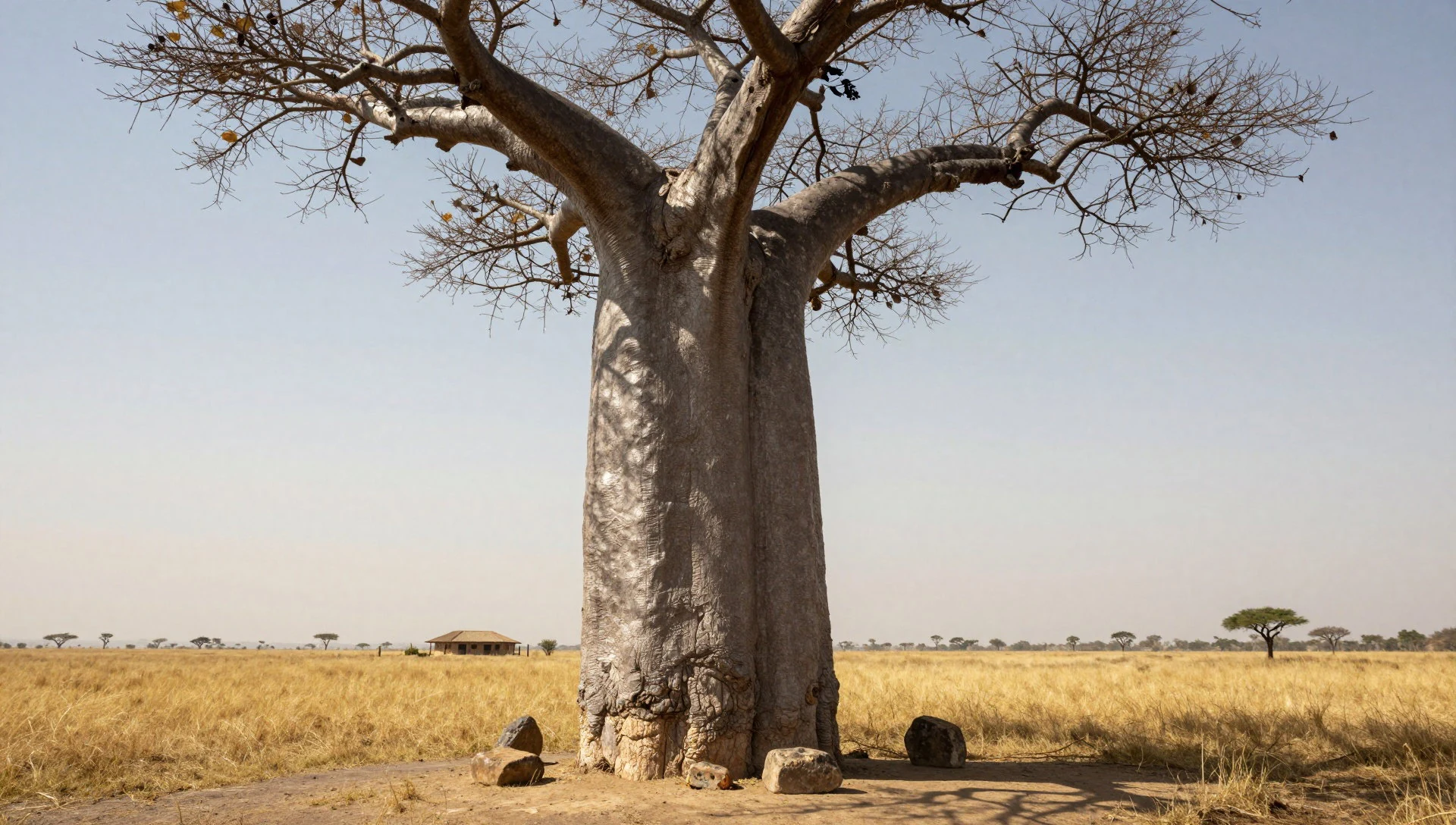
- Local museum in the region — Regional entry area
Koutammakou also has a small local museum. It’s a straightforward way to ground the visuals you’ll see in the villages, before or after you spend time with people and their homes. Check on-site details.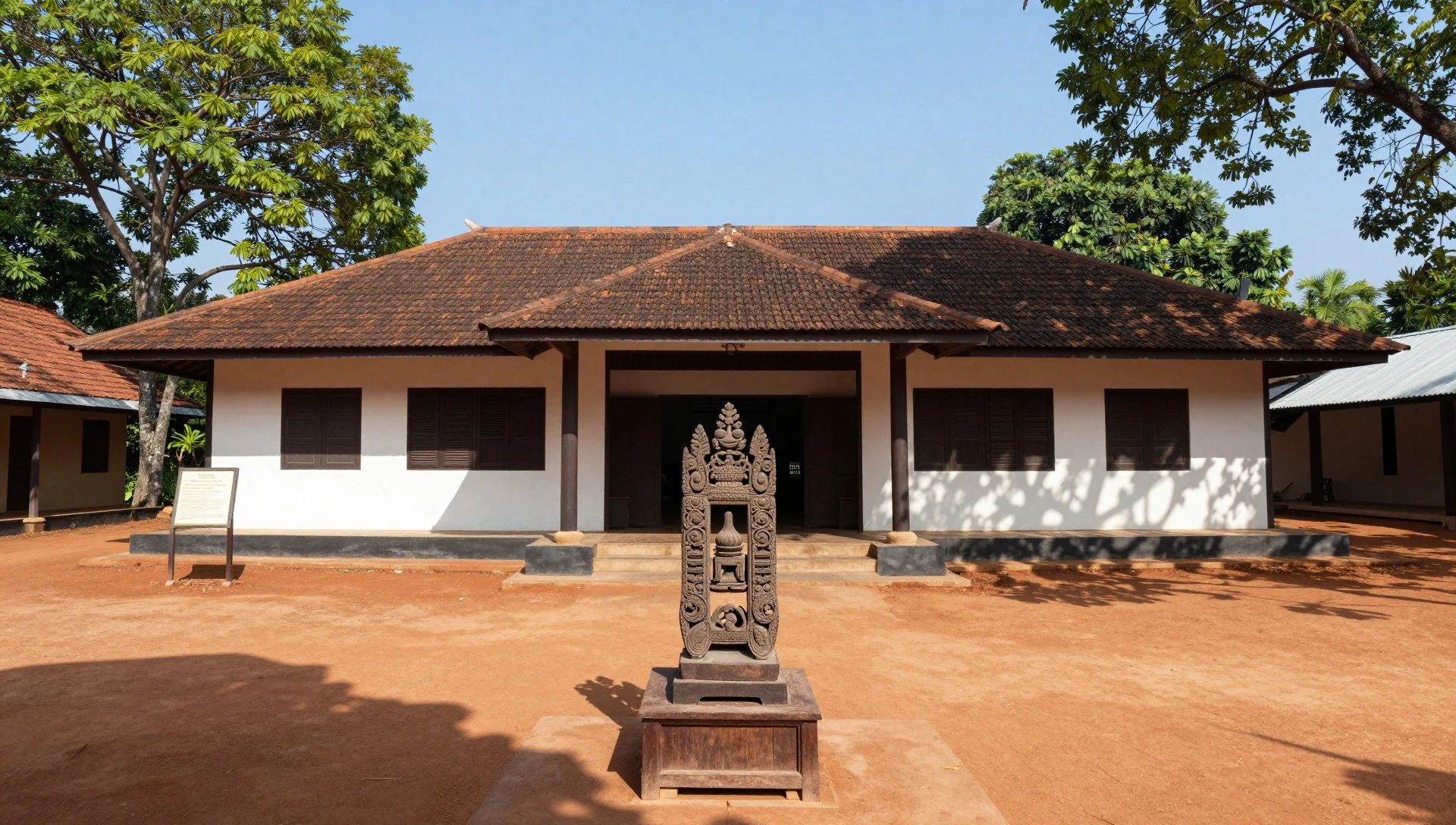
- Trek through sacred groves and forest pockets — Escarpments and groves around the valleys
Walking routes around baobabs and forest pockets follow how the community maps farming lines beside ceremonial spaces. With a guide, the trek becomes less about distance and more about observing respectful boundaries and landmarks.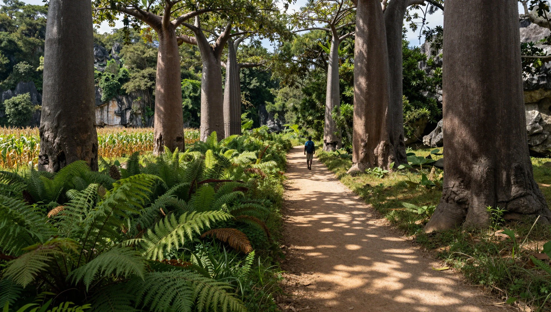
Culture
Koutammakou runs on relationships and rules. The most important one is about who introduces you to the settlement: the local guidance system at regional entry checkpoints in Kandé or Nadoba exists so visitors can be directed safely and respectfully. A registered indigenous guide helps translate the local language, explains what can be entered or photographed, and coordinates permission with village elders.
That guidance also shapes the “feel” of the day. Sacred areas are not just signposted; they’re understood through local knowledge, including what rocks are off-limits and which parts of the landscape are connected to ancestral graves. Even when the route is a walk through groves, the point is to see how farming lines and ceremonial spaces sit side-by-side.
Koutammakou’s intangible heritage is equally tangible. Skills like building the takyentas (Siken construction) and making everyday and ceremonial objects are part of why the houses still look the way they do today. If you’re visiting during a market day, the trading scene offers another way to see daily life—tools, pottery, and local crafts that connect people across the valleys.
Visitor etiquette: hire the registered local guide at Kandé or Nadoba and ask permission before stepping into areas that feel sacred or private.
What to wear
Koutammakou’s traditional dress is closely tied to Batammariba identity and local craft. In many villages, you’ll see clothing made from woven textiles and worn as part of everyday life and community events, often reflecting patterns and materials that circulate through generations. Traditional outfit details vary by household and occasion, but the overall look tends to be practical for rural movement and social gatherings.
What visitors will notice most is that modern clothing is also common now. In hotter parts of the day, people may wear light, breathable fabrics for walking between homesteads and market areas, while still keeping a modest, community-appropriate presence.
For visitors, dress for heat and dust: lightweight long trousers or long skirts help with comfort and sun. A loose shirt is usually better than sleeveless tops, especially near homes and during moments when you’re entering spaces where modesty matters. Bring a light layer for evenings. For footwear, choose sturdy, closed shoes or sandals with grip—village paths and steps can be uneven around mud structures and escarpments, and you may need to be prepared for zones where shoes are removed.
What to eat
- Pounded yam — Village meals arranged locally, especially around market days
Pounded yam is a common base starch in Batammariba eating, usually served with local sauces. You’re most likely to encounter it through village-based meals arranged via your guide or at market gatherings.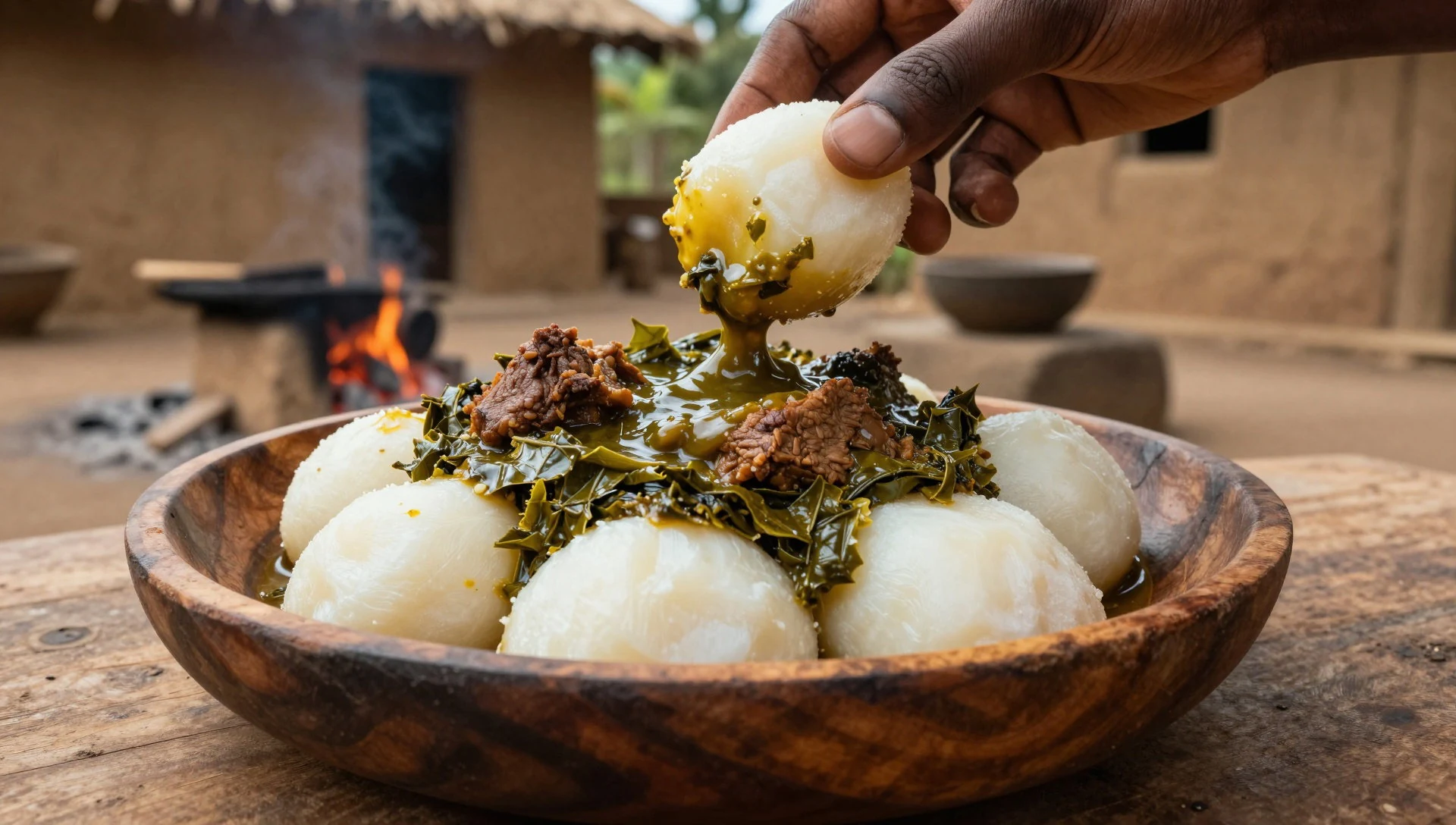
- Millet dishes — Nadoba and other market-driven meal settings
Millet shows up in several forms, including hearty, filling dishes that suit the local diet. Look for it when people are cooking for gatherings, or ask your guide what’s being prepared that day.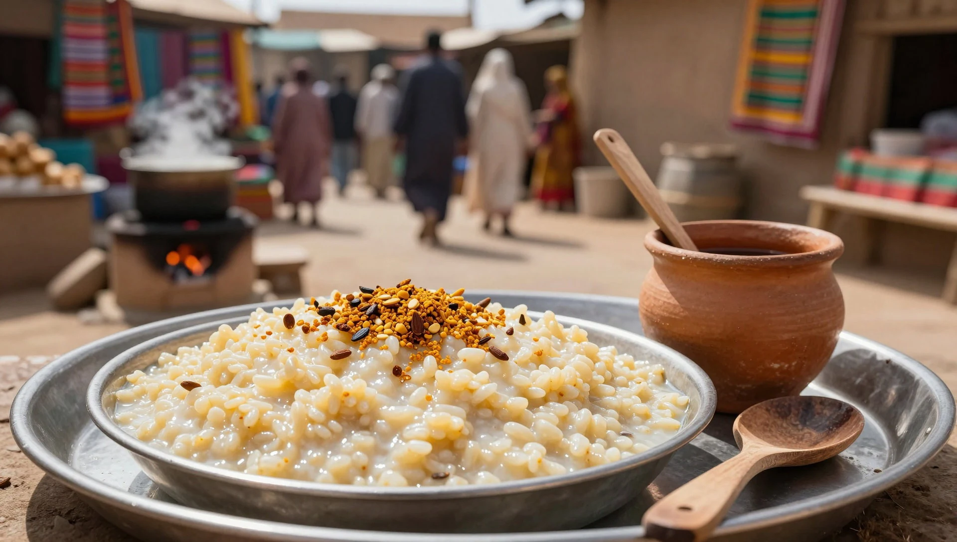
- Local sauces — Household meals and simple eateries
Meals are often anchored by sauces made from local ingredients. Expect flavours to be bold but straightforward, and treat sauces as something that changes from household to household depending on what’s available. - Millet beer — Local events and village settings
Millet beer is a well-known local beverage in the region. Availability can be seasonal and event-linked, so the best chance is to ask locally—your guide will usually know where it’s offered. - Bottled drinks (limited) — Travel stops and larger market days (carry your own as a backup)
Bottled drinks are limited, so it’s smart to plan for what you’ll need. If you’re sensitive to water quality, rely on safe water and bring any familiar drinks where possible.
Plan it
Best time. The driest months are January, February, November and December, with the lowest rain falling in December (about 1 mm). Temperatures are hottest in April (mean daily highs around 42°C) and August is also very warm (about 31°C highs) while June and July are the wettest period (June about 173 mm, July about 236 mm).
How long. 3–4
Getting there. Fly into Kara, then continue toward Kandé. From Kandé, the last leg is by rough road toward the valley villages around Nadoba; if you’re using shared bush taxis to Kandé, arrange local motorcycle taxis for the remaining stretch into the central village clusters.
Budget. mid
Tips
- Start your village time earlier to avoid peak heat and reduce the dust-and-fatigue factor
- Arrange a local guide through the regional entry checkpoints in Kandé or Nadoba so permissions and routes are handled properly
- If travelling in the rainy period, expect rutted tracks and possible washouts—plan for extra time and consider a high-clearance 4WD if suitable
- Bring cash for small village transactions and markets; card acceptance can be inconsistent
- Carry water and basic sun protection, and pack light so you can handle warm, moving days
Etiquette
- Use a registered indigenous guide and follow instructions about sacred or restricted areas
- Ask before photographing people, homes, or ritual spaces
- Dress modestly and be patient if access is limited by ongoing village routines
Nearby
Sources
- Wikidata Q508040 — human settlement / cultural landscape (CC0)
- Wikipedia (rev 1366154763) — Koutammakou (CC BY-SA 4.0)
- Wikivoyage (rev 5335796) — Koutammakou (CC BY-SA 4.0)
- photos/01-togo-taberma-house-02.jpg (CC BY 2.5)
- photos/02-alyssa-k-barry-koutammakou-togo-banner.jpg (CC BY-SA 4.0)
- photos/03-alyssa-k-barry-koutammakou-togo.jpg (CC BY-SA 4.0)
- photos/04-b-timents-du-village.jpg (CC BY-SA 4.0)
- photos/05-chambrette-des-tatas-somba.jpg (CC BY-SA 4.0)
- photos/06-concession-des-tatas-somba.jpg (CC BY-SA 4.0)
- photos/07-la-plaque-koutammakou-02.jpg (CC BY-SA 4.0)
- photos/08-la-plaque-koutammakou-03.jpg (CC BY-SA 4.0)


