Kootenay National Park
Kootenay National Park, Canada
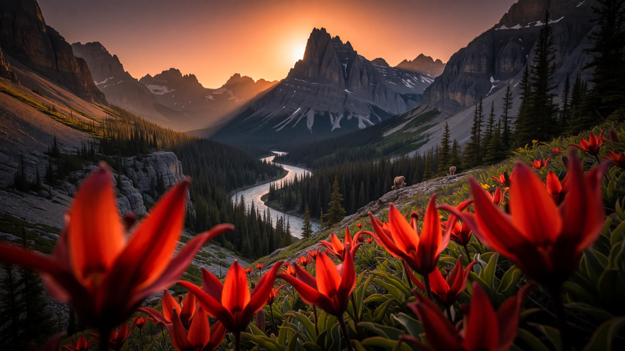
Kootenay National Park is an easy-to-reach slice of the Canadian Rockies, where hot springs, mineral paint pots and canyon hikes sit close to the road.
The place
Kootenay National Park sits in southeastern British Columbia, carved through the Canadian Rockies in a long, narrow band. It includes parts of the Kootenay and Park mountain ranges, plus the Kootenay River and the entirety of the Vermilion River. The Canadian landscape shifts fast here: at the park’s lower southwestern entrance the elevations are around 918 m, while the high points climb to 3,424 m at Deltaform Mountain.
What makes Kootenay feel different from some bigger parks is how practical it is. The park’s width is limited and many attractions are clustered along the main highway corridor, so a day can include a short viewpoint stop, then a longer walk, without the constant “will this drive be worth it?” feeling. Radium Hot Springs is right at the edge of the park, and the Paint Pots sit not far away, giving a satisfying contrast between steam-and-sulphur relaxation and bright, earthy mineral deposits.
The seasonality is real. The park is open all year, but the major tourist rhythm runs from June to September, with most campgrounds running from early May to late September. Outside that window you trade crowds for colder conditions and shorter daylight, with snow and winter access changing the mood completely.
Expect mountain weather to be changeable, and plan for altitude effects on your hiking pace. Wildlife sightings can happen even on short walks, but the bigger “wow” moments usually come from canyon roadsides, trailheads, and the slow build as cloud breaks over the ridges.
Its story
Kootenay National Park, created in 1920, has a history that runs far deeper than the highway era. Archaeological evidence points to people moving through or staying in the area for about 10,000 years, and pictographs in hot spring caves suggest the Ktunaxa people made increasingly permanent use of local hot springs several hundred years ago.
Long before the park name existed, the region was a corridor for travel. European fur traders and trappers passed through, and travellers with well-known names also moved across these passes—George Simpson in 1841 through what later became Simpson Pass, and later expeditions and journeys that used routes like Vermilion Pass in the 1850s.
On the hot springs side, the story turns to settlement and logistics. A homesteader claimed land that included the hot spring that became Radium Hot Springs in the 1880s. Development gathered momentum when Roland Stuart and H.A. Pearse secured the local property through a provincial Crown grant in 1890, but the remoteness made bottling the water difficult. Stuart later offered to sell the land in 1909 to the Canadian Pacific Railway Company, reflecting how transport links shaped what could realistically happen.
Even the park’s establishment is tied to infrastructure: it began as “Kootenay Dominion Park”, created through an agreement that traded land for a highway strip, with the route intended for park purposes. That ongoing “park via road” design is why so many Kootenay sights are close together—history, travel, and geology all funnel into the same practical travel experience.
What to see
- Paint Pots — Near the park’s road corridor
Paint Pots are mineral springs where ochre deposits build up at spring outlets. The area’s colours come from the chemistry of acidic, cold water and what it leaves behind—an unusual roadside stop that still feels like real geology, not a theme park.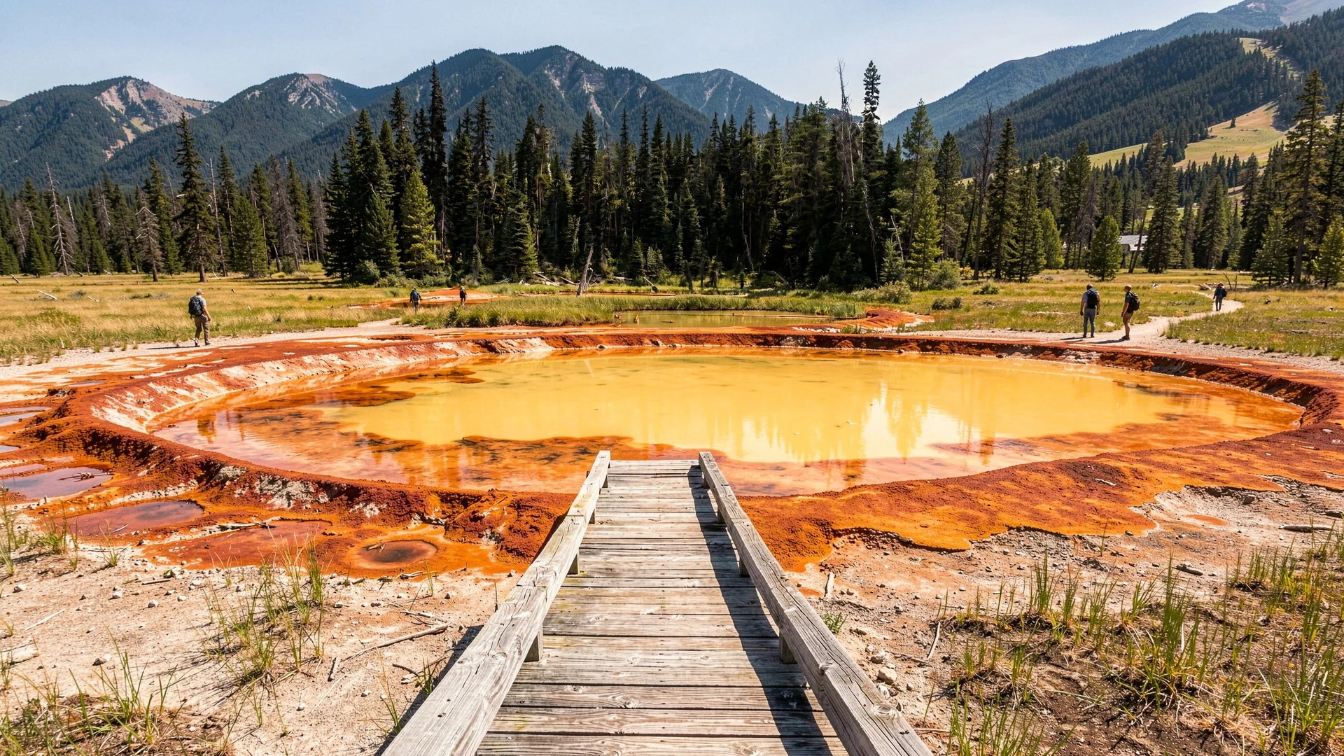
- Radium Hot Springs — South-west side, by the park entrance
Radium Hot Springs is the park’s hot-water anchor, with pools fed by naturally heated water. It’s also the easiest place to base yourself, with the town just outside the park boundary—useful when weather turns and you want a soak plus simple meals.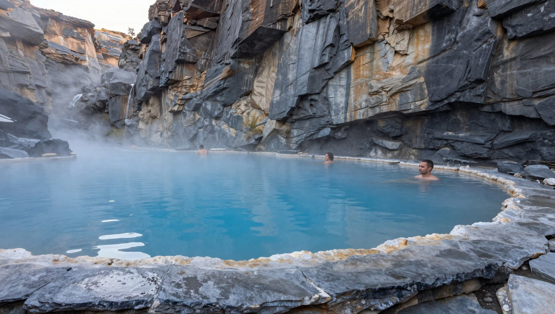
- Sinclair Canyon — Around the Radium Hot Springs access
Sinclair Canyon is a canyon landscape carved and revealed by water and time. On a trail near Radium Hot Springs, the viewpoint moments tend to come with short effort and quick pay-off, and it’s a good place to get a sense of how the park’s valleys cut through the Rockies.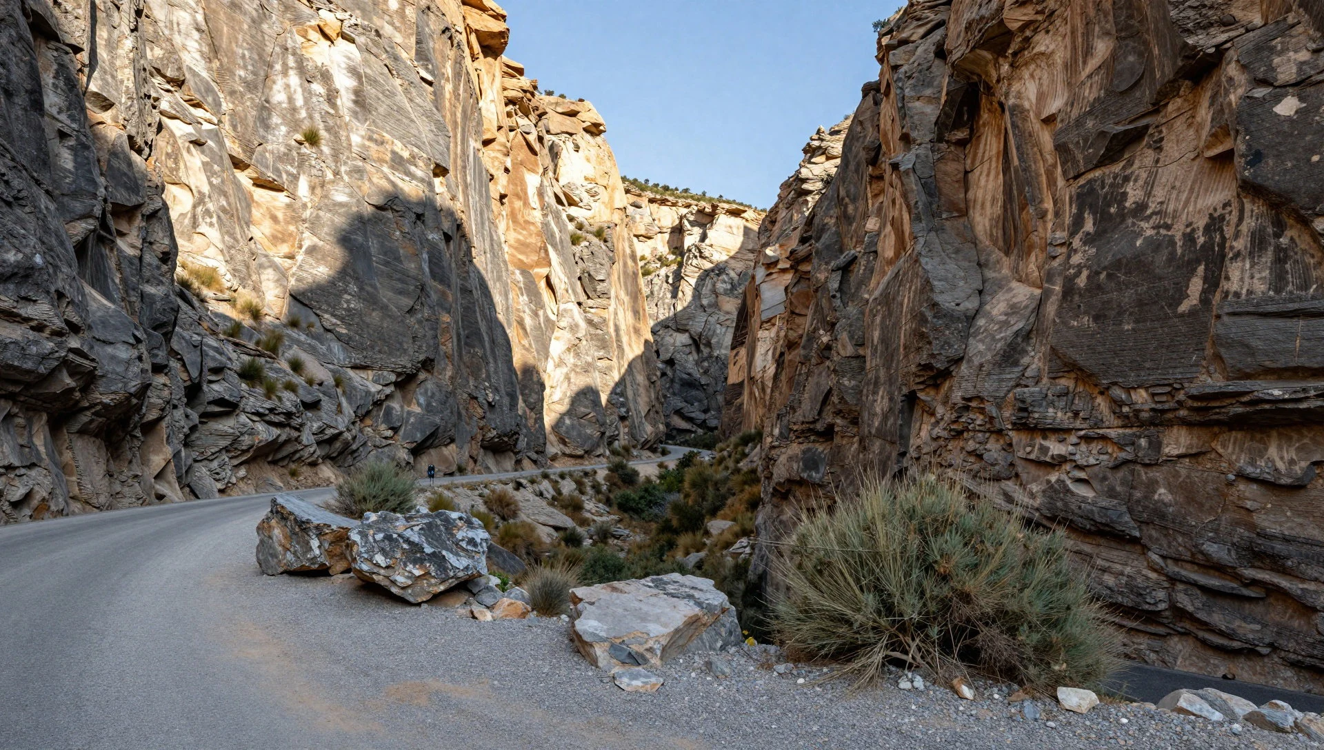
- Marble Canyon — Near the Kootenay River corridor
Marble Canyon is a dramatic river scenery stop, known for Kootenay River landscapes close to the highway route. The setting works well for both quick photos and longer wandering, especially when light hits the rock faces and the water movement feels constant.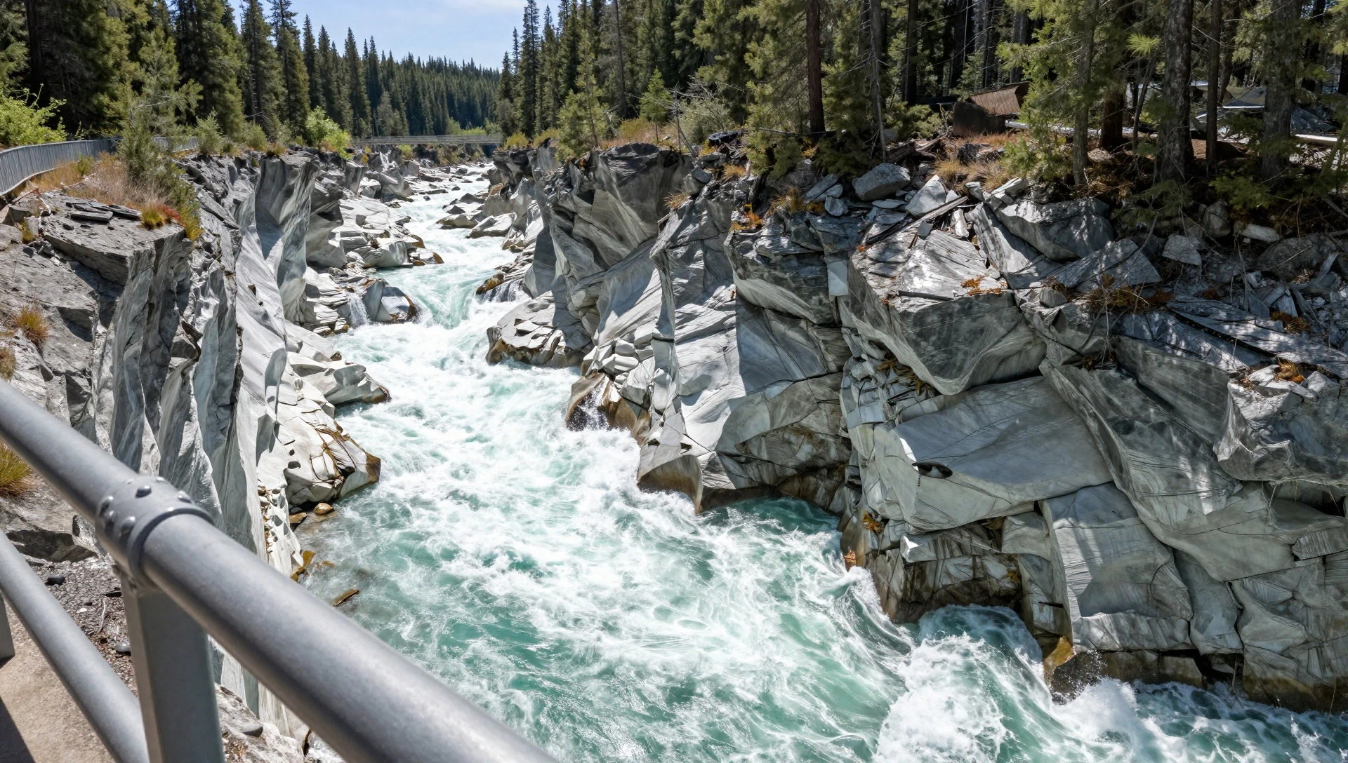
- Olive Lake — Higher-elevation lake country within the park
Olive Lake is the kind of stop hikers look for in Kootenay: calmer water in a mountain setting, with vegetation changing as you move up through the ecoregion bands. It’s a solid option when you want time on foot rather than just roadside viewpoints.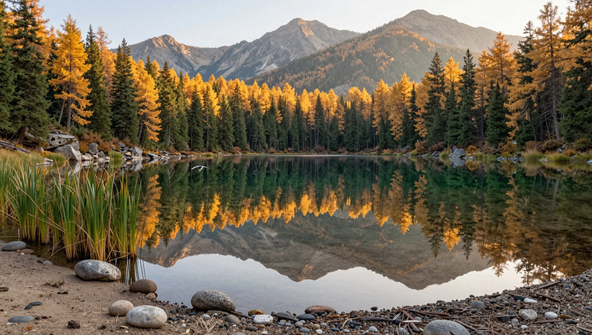
Culture
Kootenay National Park’s culture is mostly about how people share outdoor space with wildlife, weather, and sensitive landscapes. Long travel history is stitched into the land: the Ktunaxa people used hot springs in earlier times, and today those same waters still invite visitors to slow down, take in the views and treat the area like a living place rather than a backdrop.
The park’s main human footprint is tightly linked to the highway corridor, so it’s common to see families and walkers clustering near popular pull-offs and trailheads. In the busier June-to-September stretch, expect a bit of parking competition at trail starts and more chatter around the hot springs. Outside peak season, the park feels quieter but more demanding—cold mornings and snow can make paths slick, and daylight can run out sooner.
Water and mineral areas need care. Staying on established paths protects fragile ground and reduces erosion; touching mineral deposits or trampling around springs can leave lasting damage. If bighorn sheep or other wildlife show up, keep distance and let them decide what to do next—these encounters are better when they remain calm and respectful.
Visitor etiquette: keep to marked trails and viewing areas, and keep a respectful distance from wildlife and hot-spring features.
What to wear
In Kootenay National Park, “what to wear” is less about fashion trends and more about layering for mountain weather. The area sits across montane, subalpine and alpine bands, and conditions can shift quickly from valley warmth to cooler, windy spots near higher viewpoints.
Traditional dress isn’t a practical focus in Kootenay itself, but for visitors the key is simply being prepared for rugged terrain and outdoor seasons. During the main tourist window of June to September, breathable layers and a light waterproof jacket work well for changing cloud and afternoon showers. For shoulder months around early May to late September campground access, or when you arrive outside the peak period, bring a warmer mid-layer and gloves if you plan on longer hikes.
What people actually wear now is mostly outdoor gear: hiking boots or sturdy trainers with grip, long trousers to protect legs on trails, and a cap or sunglasses for bright stretches. Sandals are a bad idea for rocky paths.
Visitor wear advice: dress in layers with a waterproof outer layer and solid grip footwear, and carry an extra warm layer even in summer because the Rockies can cool down fast.
What to eat
- Meals in Radium Hot Springs eateries — Radium Hot Springs
Kootenay National Park is light on dining inside the park itself, so most food stops happen in Radium Hot Springs just outside the west entrance. Look for casual eatery-style meals before or after a soak.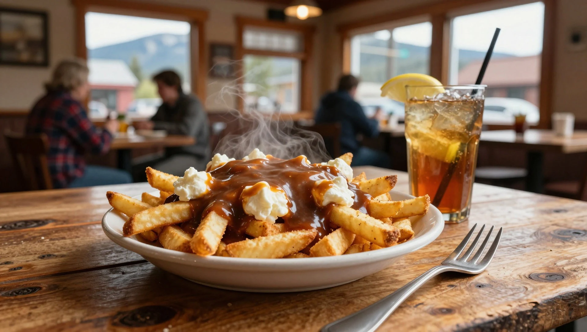
- Picnic supplies for day hikes — Radium Hot Springs and nearby towns on the approach
For canyon viewpoints and lake trails, practical picnic food beats trying to eat on the move. Stock up in Radium Hot Springs (and nearby towns on the approach) with ready-to-eat snacks and drinks, then carry out all rubbish.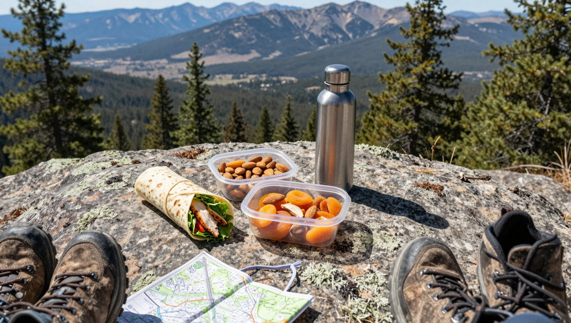
Plan it
Best time. June–September for the main tourist season when park services are most available; early May–late September suit camping, while winter brings long snowy conditions and a quieter feel.
How long. 3–4
Getting there. Fly into Calgary or Vancouver, then drive to the park via Highway 1 from Banff or via Highway 95 at Radium Hot Springs; Highway 93 South runs through the centre of the park and is the main road for getting around.
Budget. mid
Tips
- Use Radium Hot Springs as a practical base for hot springs, meals and nearby trail starts
- Start early on short hikes to beat both heat and the busiest roadside windows in June–September
- Plan for changeable mountain weather with a waterproof layer and something warm even in summer
- Assume attractions are mostly spread along the highway corridor, so build in time for short stops
Etiquette
- Stay on marked paths near mineral and hot spring areas
- Keep noise down around springs and trailheads, especially in peak season
- Give wildlife space and don’t approach for photos
Nearby
Sources
- Wikidata Q903323 (CC0)
- Wikipedia (rev 1381982370) (CC BY-SA 4.0)
- Wikivoyage (rev 5390876) (CC BY-SA 4.0)
- Photo photos/01-kootenay-national-park.jpg (CC BY 2.5)
- Photo photos/02-stanley-valley.jpg (CC BY-SA 2.5 ca)
- Photo photos/03-kootenay-national-park-paint-pots-2.jpg (CC BY 2.5)
- Photo photos/04-vermillion-range-bc.jpg (CC BY-SA 4.0)
- Photo photos/05-kootenay-river-marble-canyon.jpg (CC BY-SA 4.0)
- Photo photos/06-sinclair-canyon-near-radium-hot-springs-bc.jpg (CC BY-SA 2.0)
- Photo photos/07-wild-lily-blooming-along-dog-lake-trail-at-kootenay-national.jpg (CC BY-SA 2.5)
- Photo photos/08-canada-sheep-kootenay.jpg (CC BY-SA 2.5)


