Kelimutu
Kelimutu, Indonesia
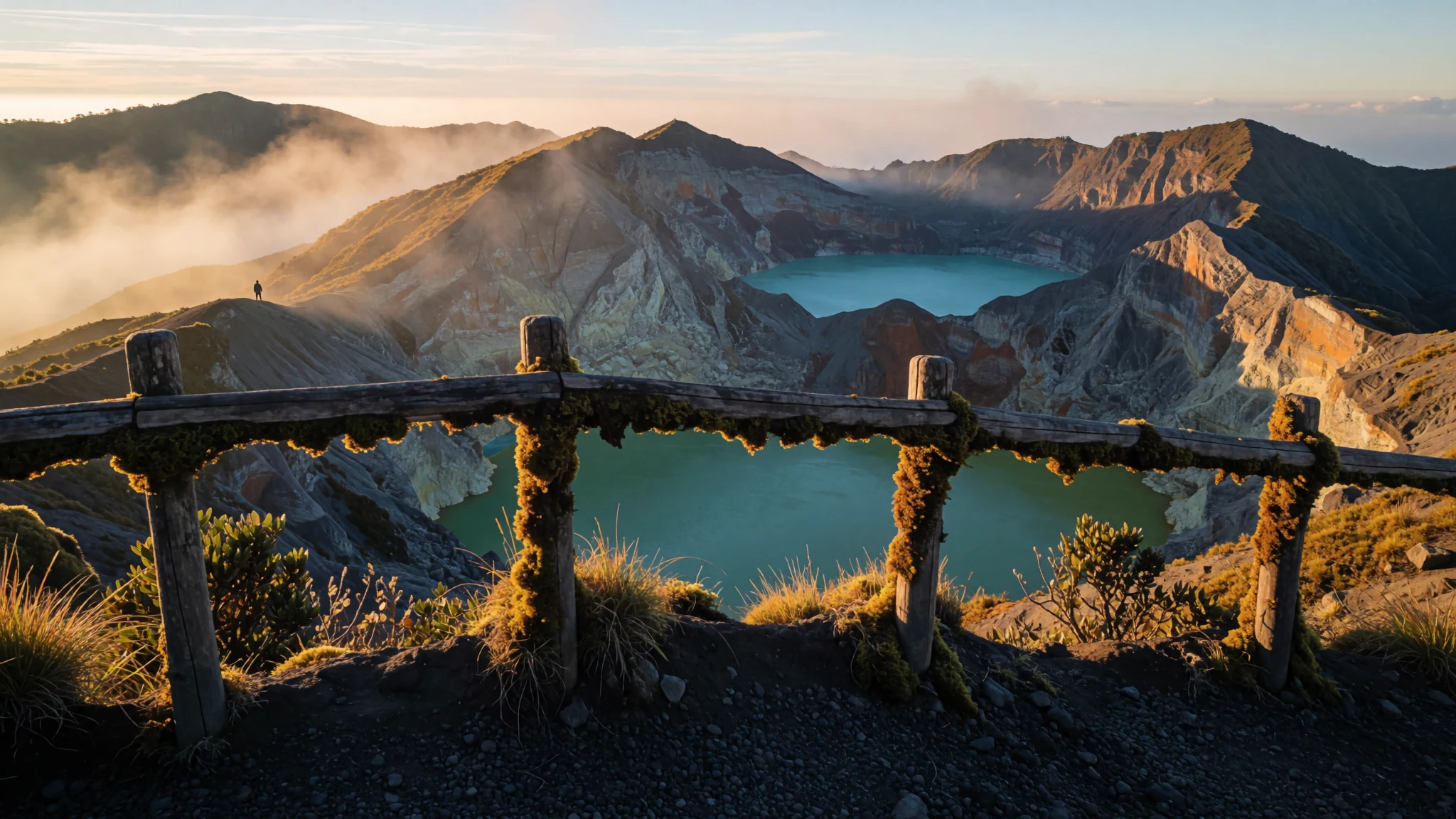
Three crater lakes on a Flores volcano shift colour over time, and the pre-dawn climb to see them is a memorable start.
The place
Kelimutu is a volcano in the central hills of Flores, Indonesia, close to the small town of Moni and about 50 km east of Ende, the regency capital. Its summit stands at 1,639 metres, and it holds three crater lakes, each a different colour. One is blue, one is green and one is a deep red. The colours are not fixed. They have changed several times in a single year, so each visit can show a different view.
The lakes sit in volcanic craters, so the setting is dramatic before colour is even considered. Steep slopes drop toward the water, and mist often lies in the hollows at dawn. Palms and banana trees grow on the lower slopes around Moni. Visitors reach the rim by road from the town and walk the last stretch to the viewpoints.
Moni itself is a plain, practical village strung out along the main road. Guesthouses line the road and are simple, and nights are cold at this altitude. It is a quiet place with few distractions, where the main business is the mountain and the early start it demands.
Crowds are the main thing to plan around. Dawn brings domestic and international visitors together, and the viewpoints fill quickly on clear mornings. Cloud can roll in and hide the lakes entirely, so the hours around sunrise are the ones worth protecting. Most people treat Kelimutu as a single overnight trip rather than a long stay.
Its story
Kelimutu's written record is short, but it includes three volcanic events that shaped how the mountain is understood. The first began in 1865 and lasted more than five years. It was a phreatic eruption, in which water heated underground flashed to steam and burst outward. The later events in 1938 and 1968 were hydrothermal explosions, where pressurised hot water and gas break through the rock.
Beyond the science, the mountain carries deep meaning for the Lio people of central Flores. In their belief, the souls of the dead travel to the crater. The three lakes are understood as destinations for different kinds of soul: one for the young, one for the old and one for those judged to have lived wrongly. This belief still shapes how the lakes are treated and remembered by local families.
Outsiders took notice slowly. A Dutch military officer, B. van Suchtelen, recorded the site in 1915, and Y. Bouman wrote about it in 1929, which helped bring it wider attention. Before that, the lakes were largely known within the local community.
The crater remains active today. Gas vents on the lake floors release bubbles, and the water stays warm, reflecting heat from the volcanic system below. The colour changes come from chemistry rather than anything on the surface: shifts in the balance of volcanic gas and rainfall, along with iron and manganese in the water. Scientists have studied these changes closely, and the broad explanation is well understood, even though the next shift cannot be predicted.
What to see
- The crater lakes at sunrise — Kelimutu summit, above Moni
The reason almost everyone comes. Three lakes sit in neighbouring craters near the summit, each with its own colour, from deep blue to green and red. Most visitors aim for sunrise, when the light is clearest and the water is easiest to read. The name is often linked to boiling water, a reminder that the volcano remains active beneath the calm surface.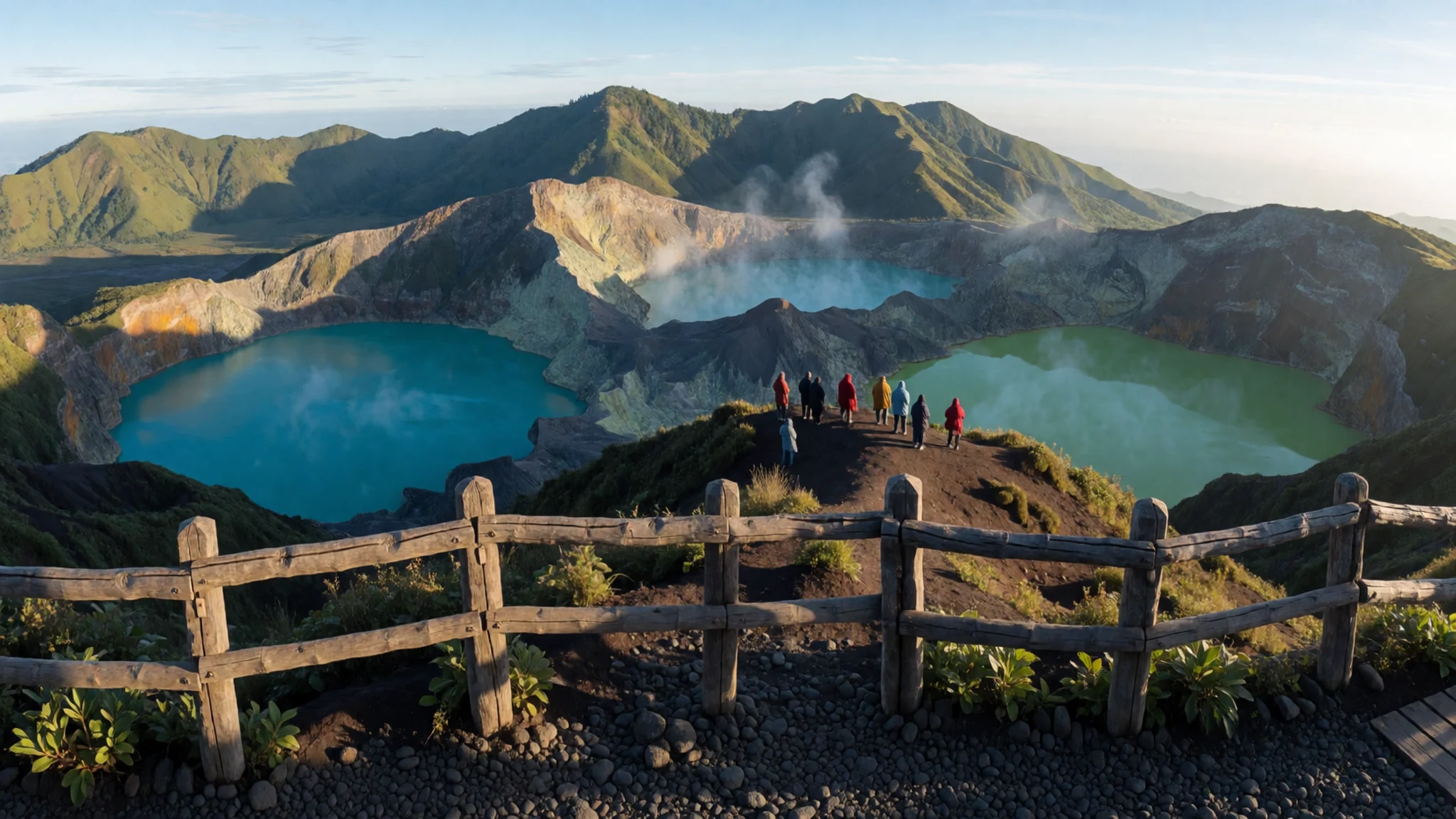
- Tiwu Ata Polo — Crater rim, Kelimutu summit
One of the three lakes, and the one often shown in red. Local tradition links it with the spirits of the wicked, which gives it an uneasy reputation. Because the colours here change, the lake may look quite different from one visit to the next. A short walk along the rim brings different angles, though wind can make the surface hard to photograph.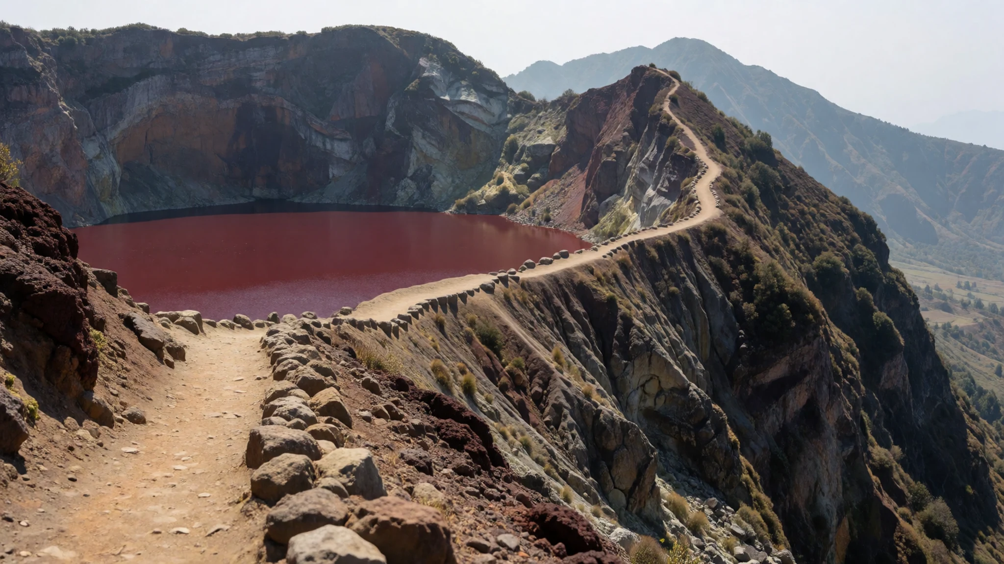
- The monkey feeding ground — Lower road below the crater, near Moni
On the way down from the crater, monkeys are often active in the trees beside the road. An official feeding area exists where visitors can watch them at a set point. Feeding is limited to that designated spot, so keep food packed away everywhere else, because the animals will approach bags and snacks without hesitation.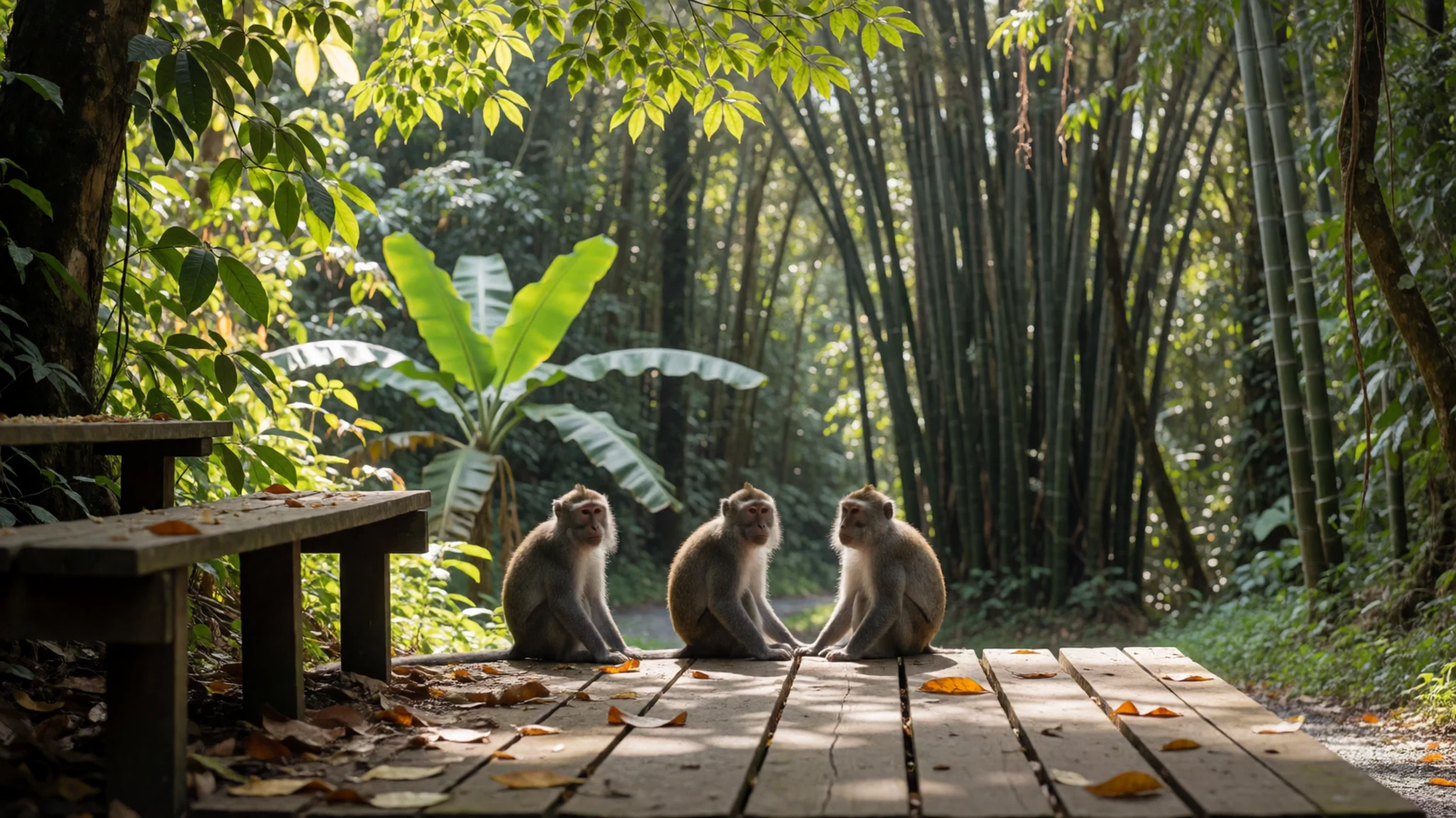
- Moni village and its burial sites — Moni village and the park edge
Moni is a small village where palms and banana trees grow between the houses. Traditional houses stand in the area near the national park, and family burial sites can be seen in front gardens, a local custom that visitors should treat with respect. Life here follows farming and the road, so the pace is slow and unhurried.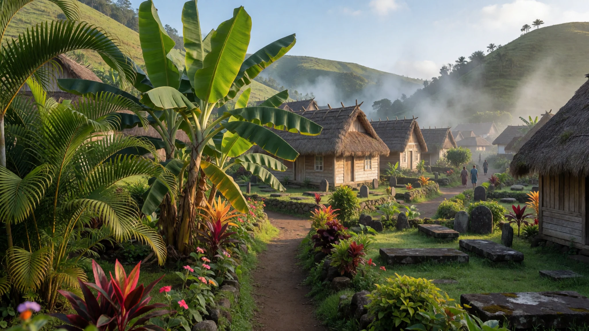
- The hot springs — Near the national park entrance
Near the entrance to the national park, hot springs make a gentle way to finish an early morning. The water is warm from the volcanic system below, and the setting suits a slow stroll after the climb. The springs are most pleasant while the day is still cool, before the roads grow hot.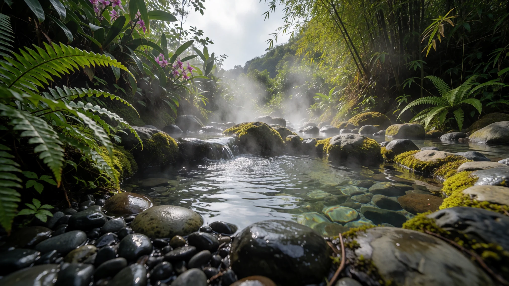
Culture
Kelimutu is sacred to the Lio people, who hold that the spirits of the dead travel to its crater lakes. Each lake is linked to a group: young people, older people and those judged to have lived wrongly, each with a different destination. Families mark these beliefs at an annual ceremony held on 14 August, where the Lio honour their forefathers with dancing and offerings. Ceremonial rocks beside the lakes receive food and betel nut, and these are part of a living practice rather than a display.
Moni is a village where life runs on farming, the road and family ties. Burial sites in front gardens are a visible custom, not a tourist attraction, so pausing to look is fine but photographing them closely is not. Villages around the park expect modest behaviour, and a visit is best treated as a privilege rather than entertainment.
Ask before photographing people or ceremonial rocks, and keep to the paths around the lakes and burial grounds rather than stepping across them.
What to wear
Kelimutu sits in a region where traditional dress is mostly worn for ceremonies, weddings and church occasions rather than everyday life. Flores is known for hand-woven cloth, often cotton, dyed with natural pigments and worked in ikat-style patterns, where threads are tied and dyed before weaving so the design appears in the finished cloth. People may wear woven sarongs or shawls at festivals, and the patterns can signal family and village identity.
In daily life around Moni, people wear ordinary clothes: T-shirts, shirts, skirts, trousers, and sandals or sneakers. Children wear school uniforms, and many people dress more formally for church. Western-style clothing is common, and the handwoven cloth is more likely to appear at ceremonies than on the road.
For a visitor, the sensible approach is layered and modest. Pre-dawn temperatures at the crater can be cold, so bring a fleece or light jacket, a windproof layer and a hat. In villages and near burial sites, cover shoulders and knees. Footwear matters on the steep, stony path to the viewpoints: closed shoes with good grip work far better than flip-flops, and a light rain layer helps if cloud or drizzle arrives.
What to eat
- Moni cakes — Restaurants along the main road in Moni
The local speciality is mashed potato mixed with herbs, shaped and deep fried until crisp. Moni restaurants serve them as a snack, and they are worth the short wait while they are made fresh. Eat them warm, when the outside is at its crispest.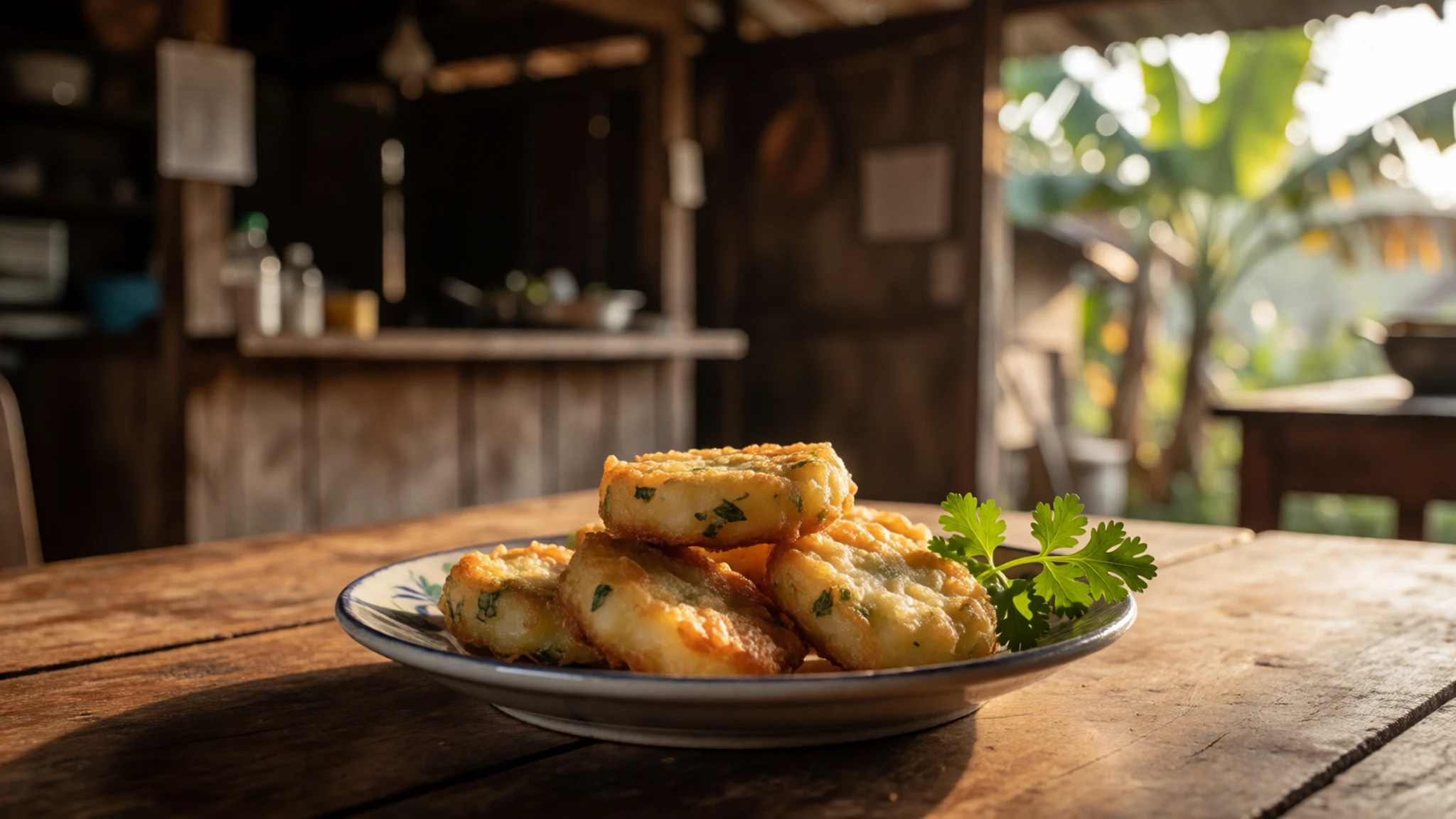
- Bakso — Warungs along the main road in Moni
Bakso is a meatball soup served in a clear broth with noodles and chilli on the side. Warungs along the main road in Moni serve it, and a bowl is a filling way to refuel after a dawn climb. Ask for it less spicy if you prefer a milder bowl.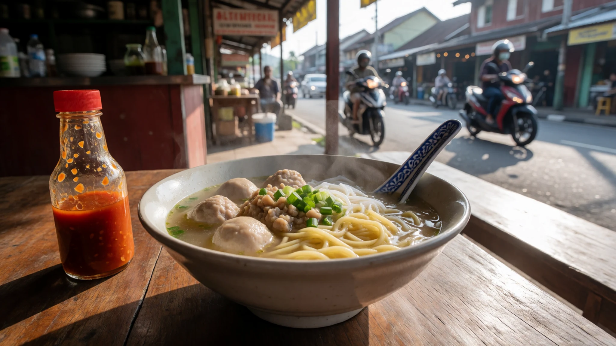
- Soto ayam — Small warungs in Moni
Soto ayam is a chicken soup with a golden, lightly spiced broth, often served with rice or noodles. Small warungs in Moni prepare it for locals and visitors alike. It is a comforting choice on a cold morning, especially after the chilly drive up from the crater. - Fresh fruit from roadside stalls — Roadside stalls between Moni and the crater road
Bananas and other tropical fruit are sold at roadside stalls and in the village, grown in the gardens that surround Moni. They make an easy snack for the walk up or down, and buying from a stall supports local growers directly.
Plan it
Best time. The drier months are the safer bet for a sunrise visit, since cloud can hide the lakes at any time of year. Check current local forecasts before committing to a pre-dawn start.
How long. 2
Getting there. Fly into Ende or Maumere, both with airports close to the route, and then travel by road. Ende to Moni takes about 2 to 3 hours by public car, bus or hired vehicle, and the last stretch from Moni to the crater car park is a steep drive of under an hour.
Budget. low
Tips
- Stay in Moni the night before and set an alarm for a pre-dawn start
- Bring warm layers, because nights in Moni are cold and the blankets can be thin
- Plan on cash for transport, food and small payments, and check the official park site for current entry rules
- Carry water and a torch for the dark walk to the viewpoints
- Ask your guesthouse to arrange transport, which is often simpler than sorting it yourself
Etiquette
- Dress modestly in villages and when visiting burial sites
- Ask before photographing people, especially at ceremonies
- Keep to marked paths around the lakes and the crater rim
- Do not climb onto ceremonial rocks or leave food there
Nearby
Sources
- Wikidata Q1738211 (CC0)
- Wikipedia: Kelimutu (rev 1369306394) (CC BY-SA 4.0)
- Wikivoyage: Moni (rev 5341857) (CC BY-SA 4.0)
- Kelimutu, Flores, Indonesia (Rosino) (CC BY-SA 2.0)
- Kelimutu Crater Lake (LukeTriton) (CC BY-SA 4.0)
- Tiwu Ata Polo, Kelimutu (LukeTriton) (CC BY-SA 4.0)
- Kelimutu crater lakes, Flores (Neil) (CC BY 2.5)
- Crater lakes of Kelimutu, with banknote insert (CC BY 3.0)
- Koanara traditional house (Dedisdoger) (CC BY-SA 4.0)
- Two caldera lakes on Gunung Kelimutu (Felix Dance) (CC BY 2.5)
- Two of three caldera lakes with visitors (Felix Dance) (CC BY 2.5)


