Kalkalpen National Park
Kalkalpen National Park, Austria
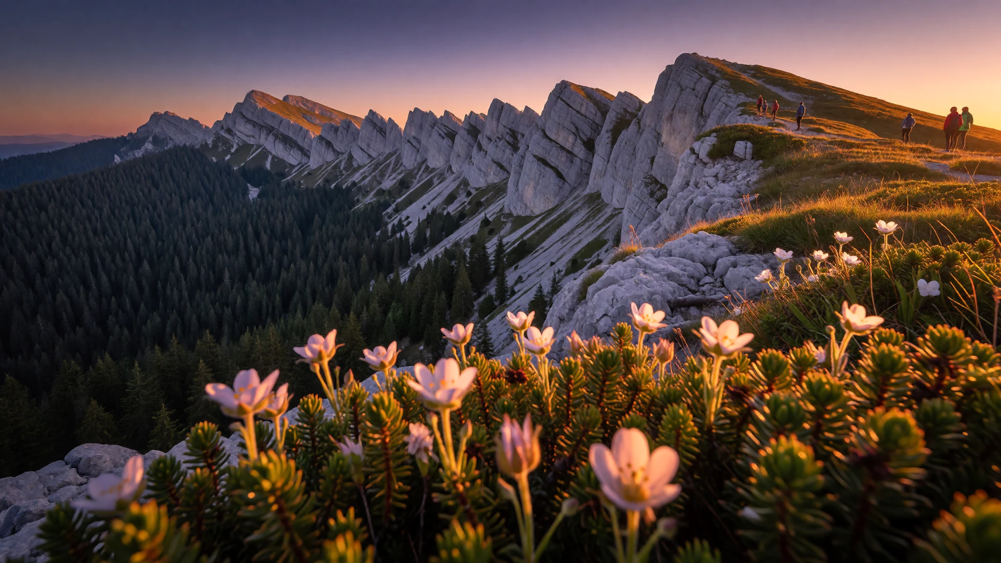
Kalkalpen National Park offers quiet limestone ridges, deep beech forest and uncrowded walking in Upper Austria, a short journey from Linz and Vienna.
The place
Kalkalpen National Park sits in the Northern Limestone Alps of Upper Austria, a region of steep grey ridges, deep wooded valleys and very few roads. It was set up in 1997 and covers about 20,825 hectares, and it is run for nature first and visitors second. That shows in the landscape. Much of the park is forest, with beech, spruce and fir climbing the slopes, and above the tree line the bare limestone breaks into pale cliffs and rocky crests. Water behaves oddly in limestone. Rain vanishes into cracks and caves and reappears as springs lower down, so the streams in the valley bottoms run clear and cold while some high plateaus stay dry. The character of the park changes from ridge to ridge. The Sengsengebirge is a long, sharp range on the northern side, while the Reichraminger Hintergebirge is a tangle of forested ridges and gorges with fewer paths and more silence. Villages such as Molln, Windischgarsten and Rosenau hold visitor centres and trailheads. Walking is the main activity, with mountain biking and horse riding on set routes and, in winter, snowshoeing and some alpine skiing. This is not a place of grand lodges or long queues. Summer weekends bring day walkers from Linz and Vienna, but most trails stay quiet, and on a weekday in autumn many are close to empty.
Its story
The story of Kalkalpen National Park is largely a story of land being left alone. For a long time the forests and valleys of this corner of Upper Austria were working country. Timber was felled and dragged out, the trades of the surrounding valleys needed wood, and the high pastures were grazed through the summer. The former Steyr Valley Railway, whose line near Molln is now a rail trail, is a reminder of that era of moving goods and people through steep ground. When the park opened on 25 July 1997, the aim changed. Large areas were to return to natural processes, so that trees fall and rot, streams shift their gravel, and old beech stands build up the dead wood and gaps that tidy managed forests lack. Rangers still maintain paths and look after visitors, but much of the interior is simply allowed to get on with it. Over the years this has favoured species that need undisturbed woodland: woodpeckers, owls, beetles that live in dead timber, and specialist plants of bare limestone rock. Lynx have returned to these forests, though a walker is very unlikely to see one. The park's lodge and seminar centre is Villa Sonnwend, a house from 1907 in Windischgarsten, a sign that the project is as much about education and local life as about wilderness.
What to see
- Hoher Nock and the Sengsengebirge — Sengsengebirge, northern park
The Sengsengebirge is the long limestone ridge on the park's northern side, and Hoher Nock is a prominent summit on it, with the pale rock pillar of the Nockpfeiler on its flank. Routes climb through beech and spruce before the trees thin to open rock. This is a full day's mountain walk, so start early, carry rain gear and check the forecast.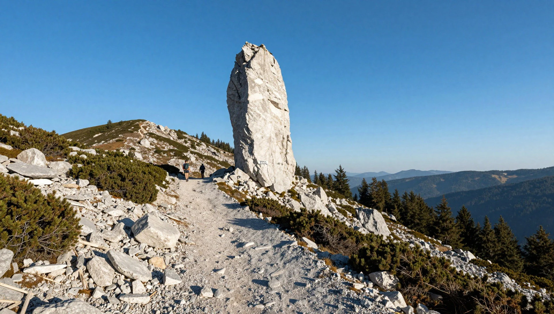
- Feichtau — Sengsengebirge
Feichtau is a high basin on the Sengsengebirge where pasture, scattered trees and rocky slopes open into wide views after the dense forest below. It suits walkers who want scenery without a summit scramble. Limestone drains fast, so water is scarce away from huts; fill bottles early and ask a park centre about trail conditions.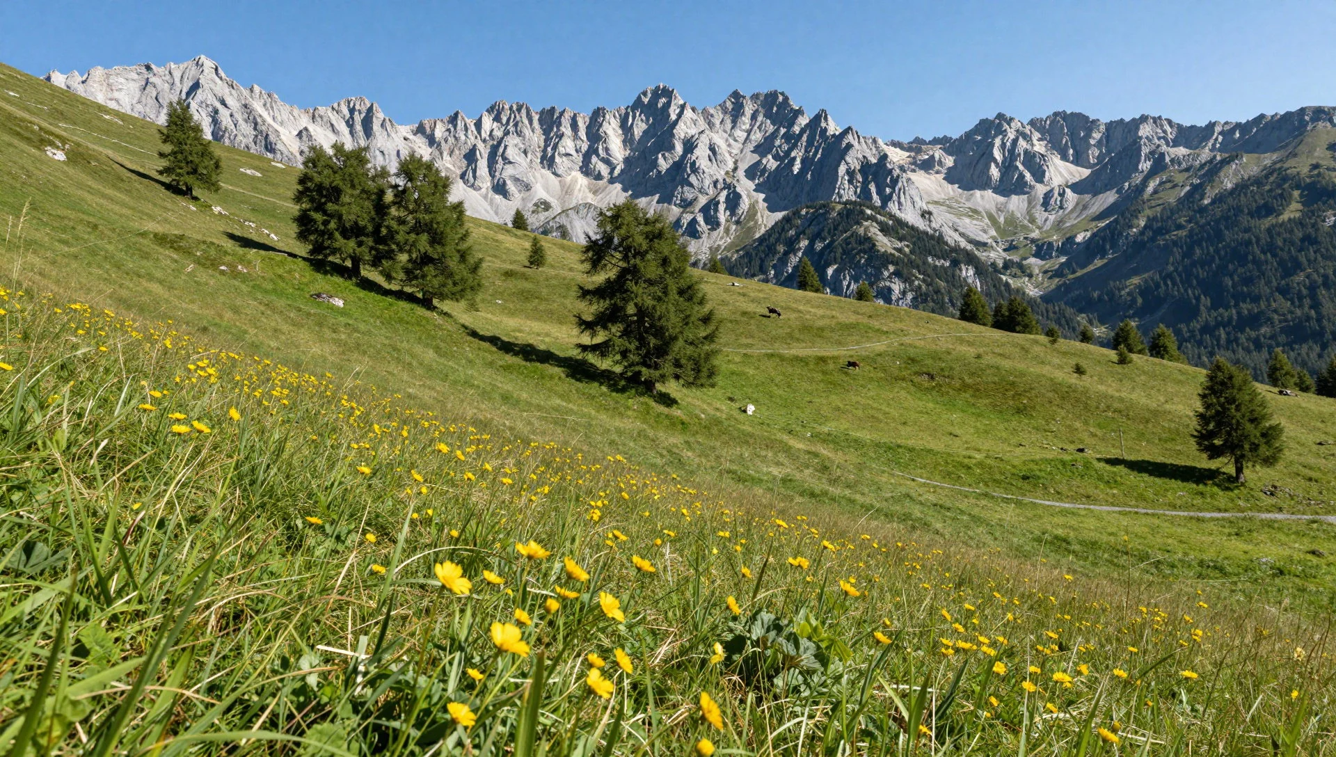
- Reichraminger Hintergebirge — Eastern park
This is the wild, forested heart of the park, a maze of ridges and narrow valleys east of the Sengsengebirge. Peaks such as the Große Größtenberg can be seen from the Hochschlacht-Steig. Paths are fewer and the forest is thick, so expect long, quiet days, little phone signal and a need to plan routes carefully.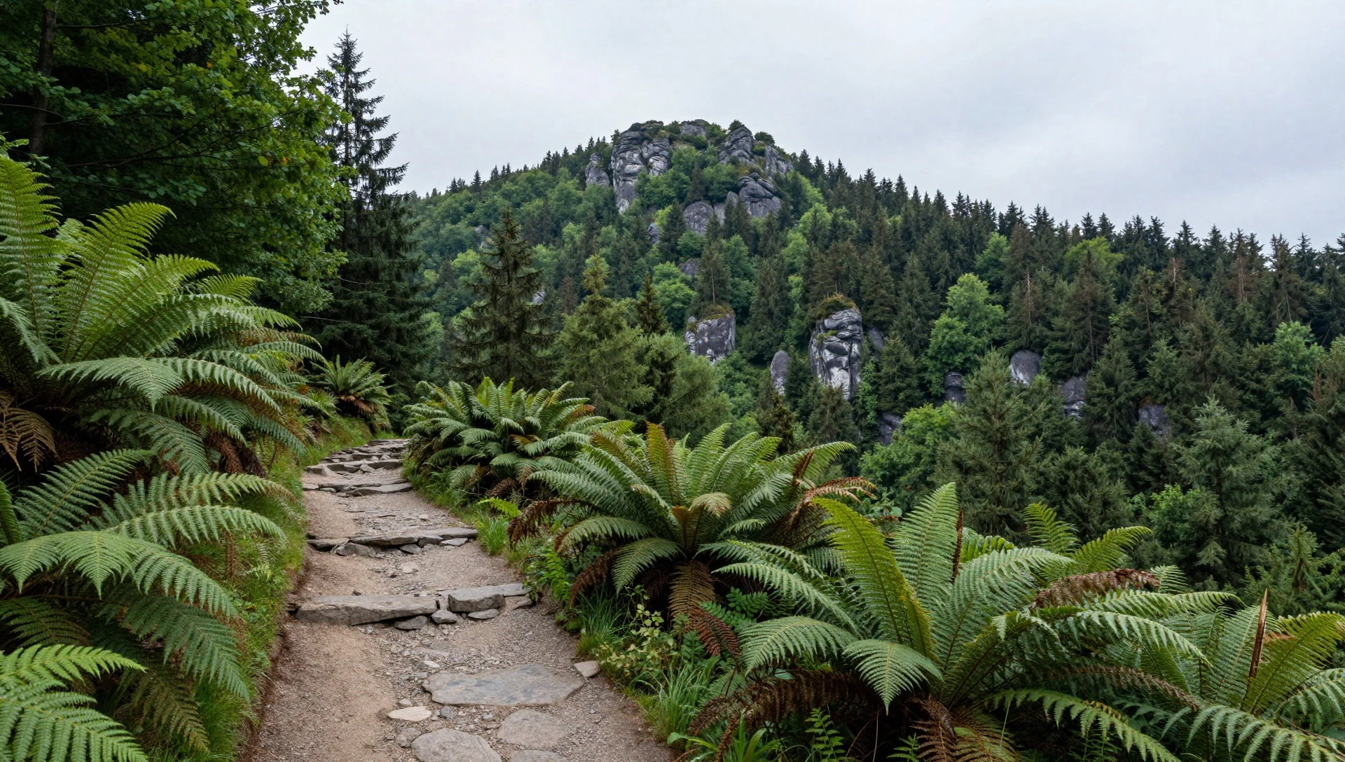
- Dörflmoaralm — Reichraminger Hintergebirge
Dörflmoaralm is a grassy alpine clearing in the Reichraminger Hintergebirge, the kind of pasture that gives a forest walk a place to pause. Open ground like this lets in light and views and shows how mountain farming once shaped the valleys. Check with the park whether any refreshments are on offer before relying on them.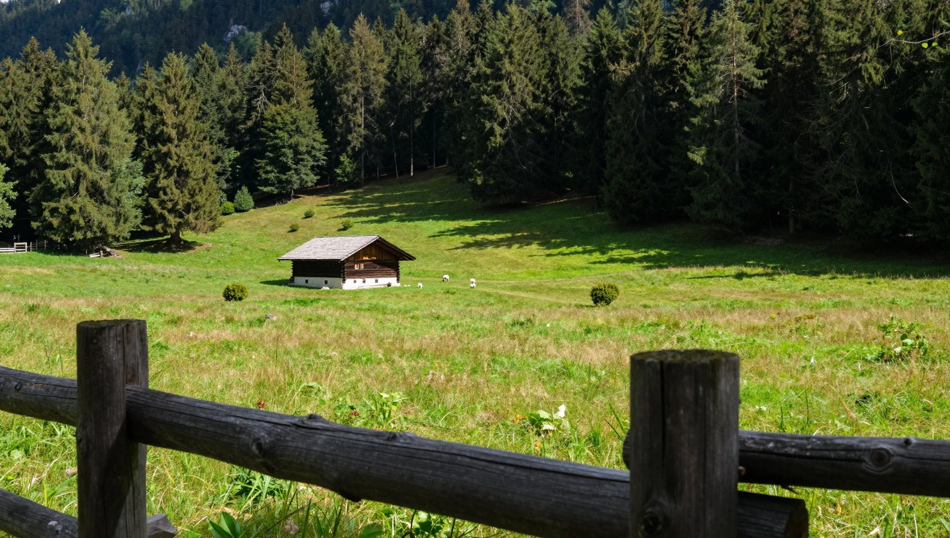
- Wurbauerkogel panorama tower — Near Windischgarsten
Near Windischgarsten, the Wurbauerkogel tower is a 21 m viewing platform reached by chair lift or on foot. In clear weather 21 peaks above 2,000 m can be picked out, which makes it a good first orientation for the whole region. Check the official site for lift operation before planning a visit.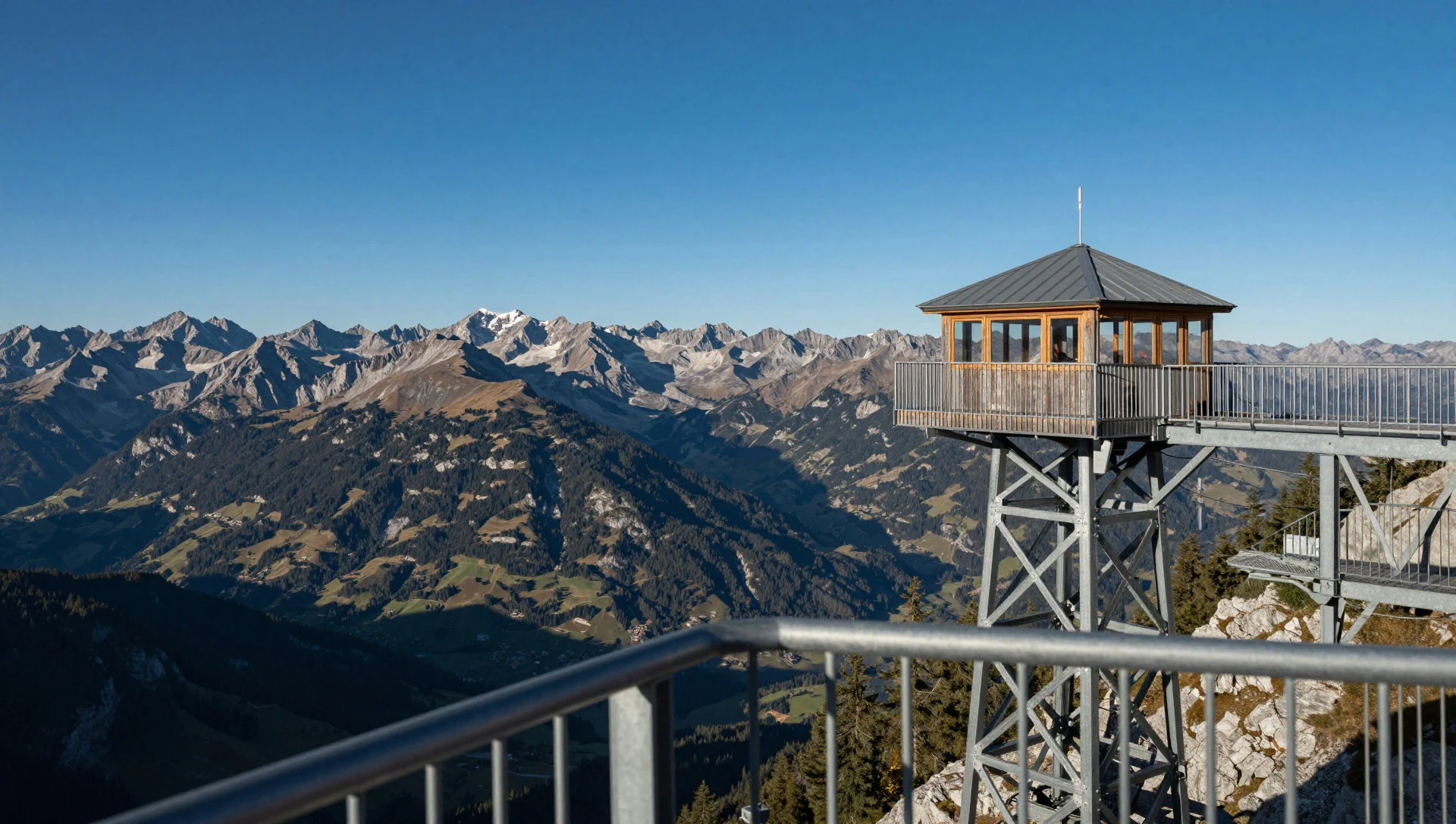
- Steyrtal rail trail — Molln area
Near Molln, parts of the old Steyr Valley Railway now carry a rail trail through the park. The gradient is gentle, which makes it a sensible choice for families, cyclists or anyone wanting an easy day or a rest day between mountain routes. Cuttings and bridges recall the line's past, and the Molln visitor centre can advise on conditions.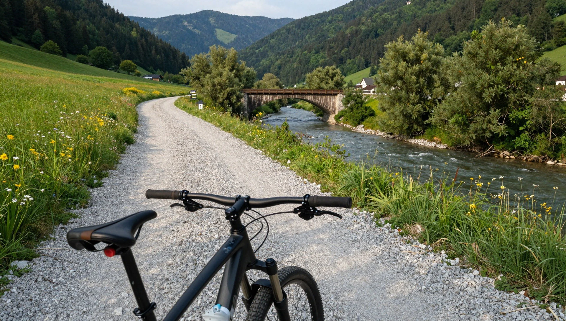
Culture
Kalkalpen National Park lies in Upper Austria, where mountain culture is practical, polite and built around the hut. Alpine pastures and huts, called Almen and Hütten, once served farmers and herders and now often double as walkers' refreshment stops, usually in summer. The traditional meal there is the Jause, a plain snack of bread, cold meats, cheese and something to drink, eaten slowly and without fuss. Walkers on a trail normally greet one another with a short 'Grüß Gott' or 'Servus', and it is an easy way to feel part of the place. Village life in Molln, Windischgarsten and Rosenau still follows the church and club calendar, with brass bands, volunteer fire brigades and local festivals. The park's rules reflect the same practical respect. Marked paths protect fragile ground and let wildlife get on undisturbed, and dogs, fires, camping and drones are usually restricted, so it is worth checking the official site before setting out. Weather decides everything in the mountains, and locals take turning back seriously; nobody will think less of a walker who does so. Greet fellow walkers with a 'Grüß Gott', keep to the marked paths, and carry every scrap of rubbish back down with you.
What to wear
Around Kalkalpen National Park, traditional dress means Tracht, the regional costume of Upper Austria. Women wear the dirndl, a fitted bodice and full skirt with an apron, and men wear Lederhosen or woollen trousers with a Janker, a jacket often made from boiled or loden wool, which is dense, water-resistant and warm. Linen, cotton and wool are common, with simple embroidery and horn or pewter buttons. Tracht is worn for church festivals, weddings, band performances and village celebrations rather than every day. Daily wear is much like anywhere in the Alps: jeans, fleece, walking trousers and sturdy shoes, with a smart shirt or Tracht jacket for an occasion. Visitors should dress for the mountains, not for the village. Wear broken-in walking boots with good grip, since limestone is slippery when wet, and bring layers, a waterproof jacket, a hat and sun protection, because weather can turn quickly even in summer. Shorts are fine on low trails in warm months but long trousers help on overgrown routes. There are no strict modesty rules, though anyone visiting a village church should keep shoulders and knees covered. In winter, add insulated boots, gloves and gaiters for snowshoeing.
What to eat
- Kaiserschmarrn — Alpine huts and village inns
A thick, shredded pancake, torn into pieces, dusted with sugar and served with fruit compote, often plum or apple. It is the classic reward after a mountain walk and is shared between two or more people. Look for it at alpine huts and village inns.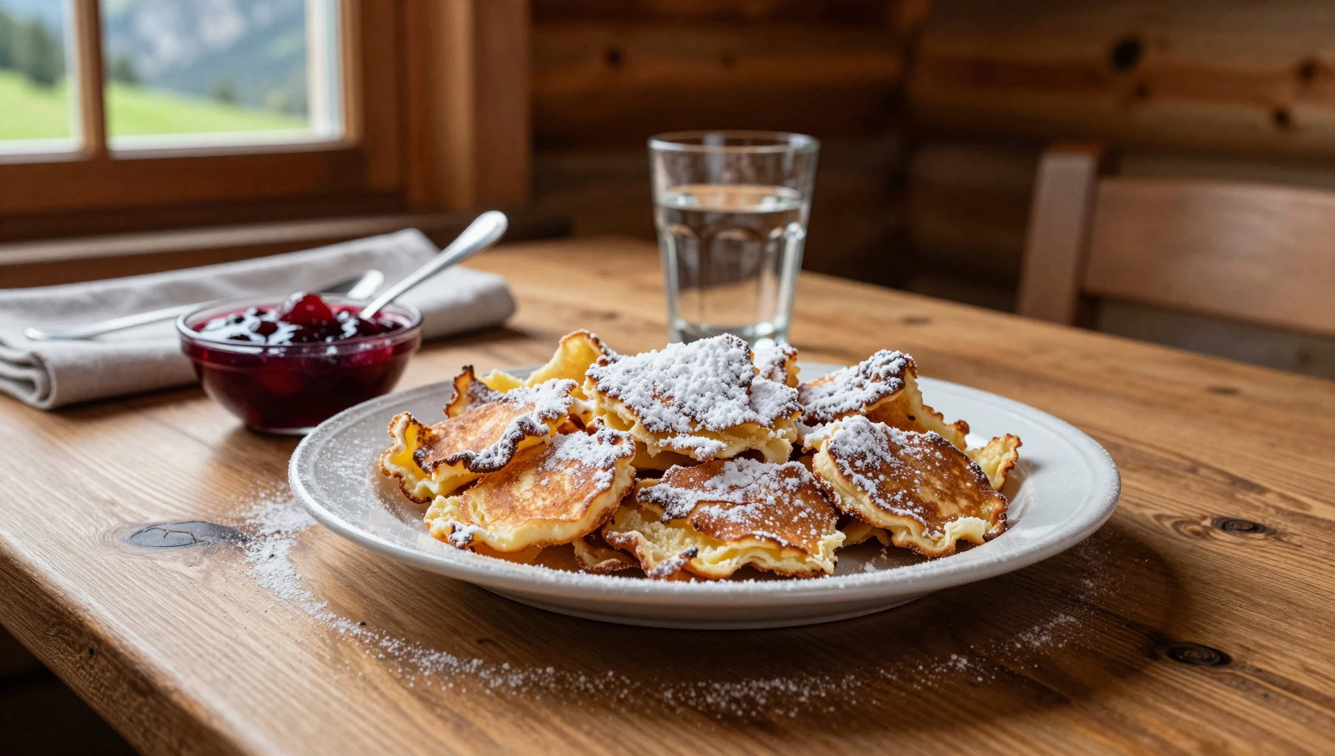
- Brettljause — Huts and country inns near trailheads
A board of cold smoked meats, farmhouse cheese, pickles, horseradish and dark bread, often with butter or spreads. It is a simple, filling lunch that suits a break on a long route. Beer or apple juice mixed with sparkling water goes well with it.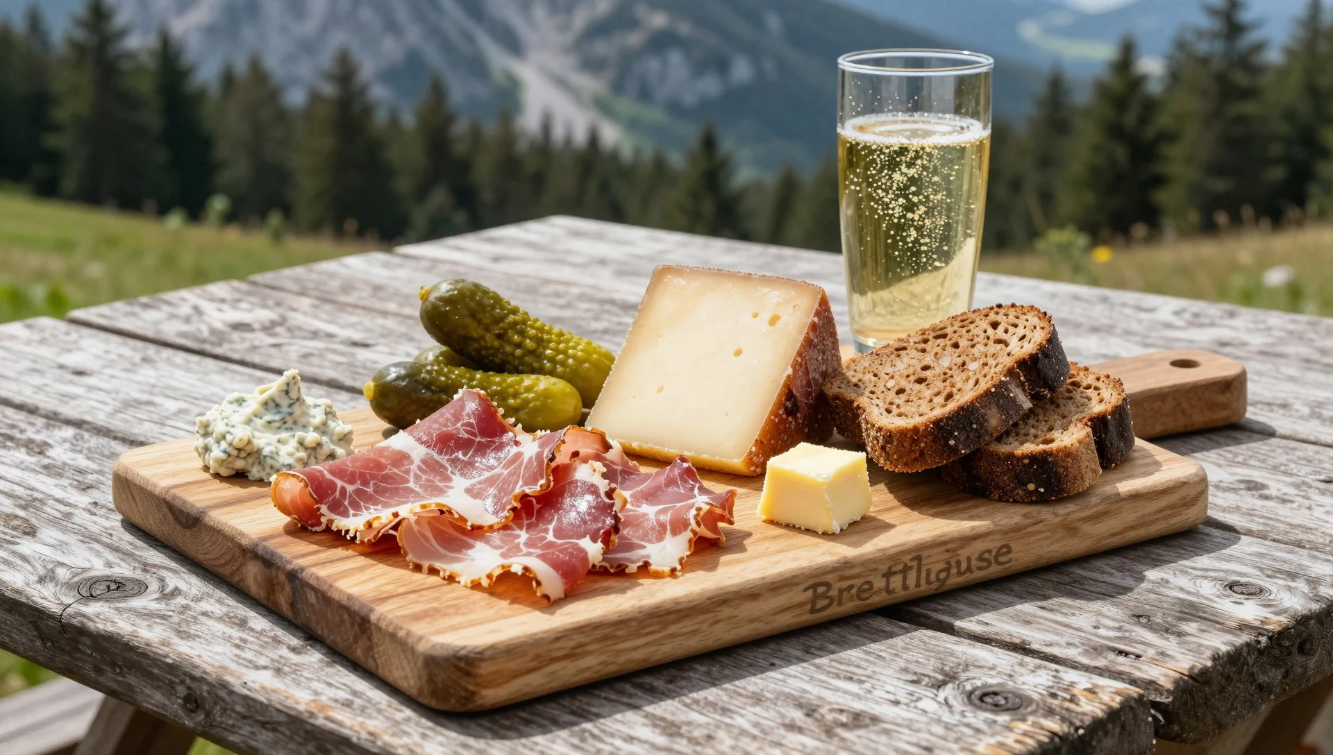
- Forelle (trout) — Village inns around Molln and Windischgarsten
Fresh trout from clear mountain streams, usually pan-fried in butter or served blue, with boiled potatoes and lemon. It is a light meal after a hot day on the trail. Ask where the fish was raised, since quality varies. - Knödel with roast pork — Traditional village inns and country restaurants
Soft bread or potato dumplings served with roast pork, gravy and sauerkraut or cabbage salad. This is hearty Upper Austrian inn cooking, welcome in cold or wet weather. Portions are generous, so share if the walking has been gentle. - Linzer Torte — Village bakeries and cafés
A tart of nutty, spiced pastry with a lattice top over redcurrant or similar jam, named for Linz, the Upper Austrian capital. It keeps well, so it makes a good snack in a rucksack. Buy a slice with coffee at a local bakery or café.
Plan it
Best time. June to September for the main walking season, when the paths are clear and huts are likely to be open. Expect afternoon thunderstorms in summer. October brings golden beech forest and quieter trails, though days are shorter and higher routes may see early snow. Winter suits snowshoeing and gentle skiing; check conditions first.
How long. 2–4
Getting there. The nearest major airports are Linz and Salzburg, with Vienna a longer option. From Linz, trains and regional buses reach Windischgarsten, Molln and Steyr; check ÖBB timetables for the current connections. A car makes remote trailheads much easier, as bus services are limited, especially at weekends and in the evening.
Budget. mid
Tips
- Stop at a visitor centre in Molln, Windischgarsten or near Rosenau first for maps, trail conditions and weather advice
- Start walks early, as summer storms often build in the afternoon and daylight is short in autumn
- Carry water and food, because limestone ground holds little surface water and huts may be closed
- Bring cash as well as a card, since small huts and village inns may not take cards
- Mobile signal is patchy in the deep valleys, so download maps and tell someone your route
Etiquette
- Keep to marked paths and respect closures that protect wildlife and fragile ground
- Greet other walkers and give way politely on narrow trails
- Take all rubbish home and follow the park's rules on dogs, fires and camping
Nearby
Sources
- Wikidata Q686047 (CC0)
- Wikipedia: Nationalpark Kalkalpen (rev 1370647860) (CC BY-SA 4.0)
- Photo 01-20090614-hohernock-northface.jpg, Tigerente (CC BY-SA 3.0 at)
- Photo 02-hintergebirge-01.jpg, Herbert Ortner, Überraschungsbilder (CC BY 3.0)
- Photo 03-karte-nationalpark-kalkalpen.png, Anitagraser (CC BY 3.0)
- Photo 04-20090614-nockpfeiler-und-hoher-nock.jpg, Tigerente (CC BY-SA 4.0)
- Photo 05-20090614-nockpfeiler.jpg, Tigerente (CC BY-SA 3.0 at)
- Photo 06-24-stunden-apotheken-box-molln-ober-sterreich.jpg, Naturpuur (CC BY-SA 4.0)
- Photo 07-d-rflmoaralm-reichraminger-hintergebirge-20081011.jpg, Tigerente (CC BY-SA 4.0)
- Photo 08-feichtau-sengsengebirge.jpg, Edgar Adler (CC BY-SA 3.0 at)
- Wikivoyage (CC BY-SA 4.0)


