K2
K2, Pakistan
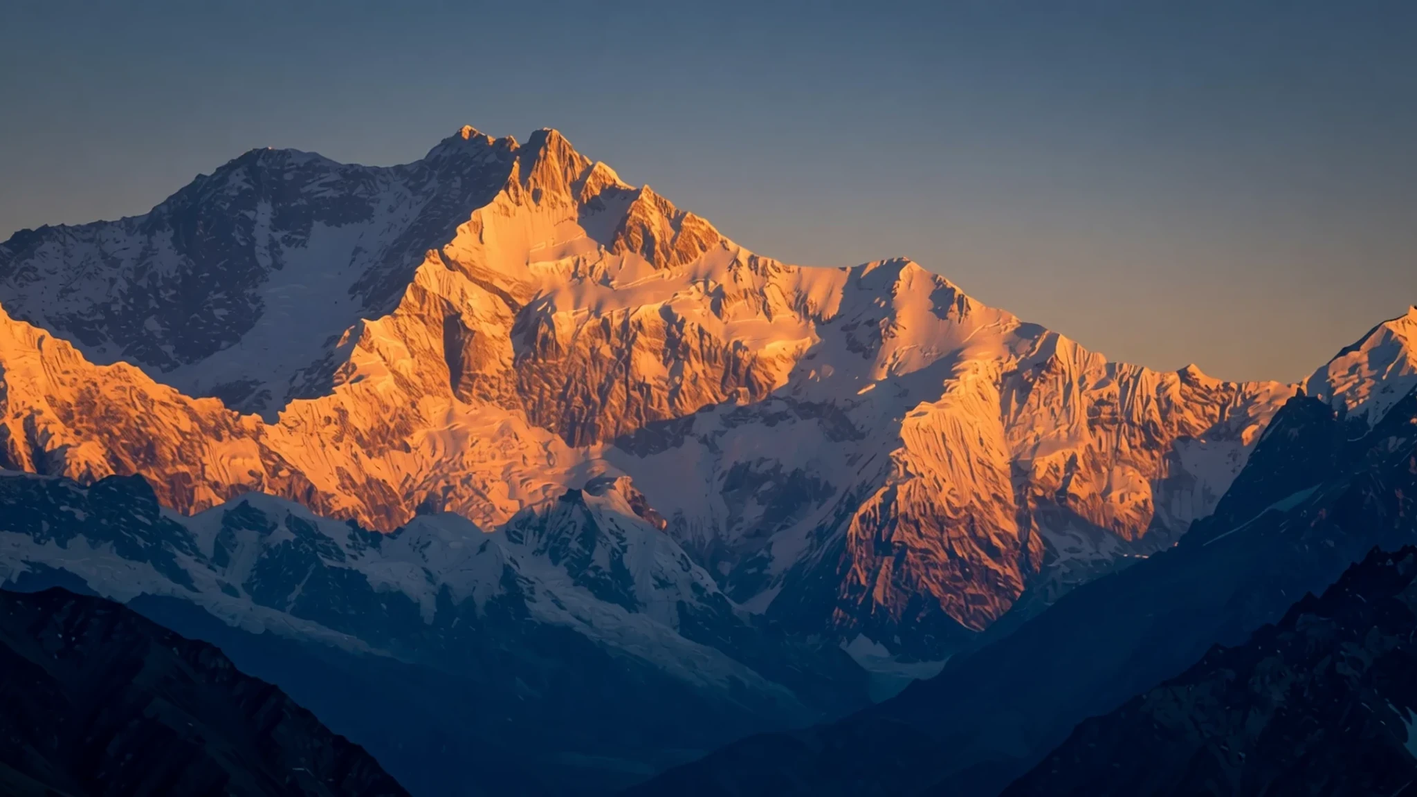
Experience the formidable presence of the second-highest mountain on Earth in the heart of the Karakoram range.
The place
K2 is a titan of the Karakoram range, reaching an elevation of 8,611 metres. Known by the local name Chogori, it sits on the border between Pakistan and China. While it is slightly shorter than Everest, K2 is widely regarded as a far more dangerous climb due to its steep, exposed faces and its more northern position, which attracts more volatile weather. The mountain's geometry is famously pyramidal, creating a stark, imposing silhouette that dominates the landscape. The geology of K2 is complex, consisting largely of K2 gneiss—a mixture of orthogneiss and biotite-rich paragneiss—along with various marbles and schists. This rugged terrain makes for a challenging approach, with most expeditions following the Abruzzi spur. The atmosphere around the peak is one of extreme isolation and raw power, where the thin air and shifting ice create a landscape that feels truly primordial. Because of the immense technical difficulty and the risks involved, K2 remains a sanctuary for the most experienced mountaineers in the world. Visiting the base of the mountain requires a long, arduous journey through some of the most remote valleys in Gilgit-Baltistan, where the scale of the surrounding peaks makes everything else feel small.
Its story
The history of K2 is a chronicle of courage and tragedy. For decades, it was the most elusive of the eight-thousand-metre peaks, earning the moniker 'The Savage Mountain' after a 1953 American climber described it as a place that tries to kill its visitors. The first successful ascent did not happen until 1954, when Italian climbers Lino Lacedelli and Achille Compagnoni reached the summit under the leadership of Ardito Desio. Unlike Everest, which has become a commercialised destination, K2 has long resisted such trends. Its death rate was historically much higher, with roughly one death for every four successful summits prior to 2021. The mountain has been called 'The King of Mountains' and 'The Mountaineers' Mountain' by figures like Reinhold Messner, reflecting its status as the ultimate test of skill. In a historic feat of endurance, a team of ten Nepalese climbers finally summited the mountain in winter in January 2021, completing the final winter ascent of the world's fourteen highest peaks. This legacy of struggle is etched into the rock and ice, where memorials for lost climbers serve as quiet reminders of the peak's indifference to human ambition and the sheer brutality of the high-altitude environment.
What to see
- The Abruzzi Spur
This is the most common route used by climbers to reach the summit of K2. The path is a steep, technical scramble over rock and ice that tests every bit of a climber's endurance. It provides a dramatic, ascending perspective of the mountain's immense scale as one climbs higher.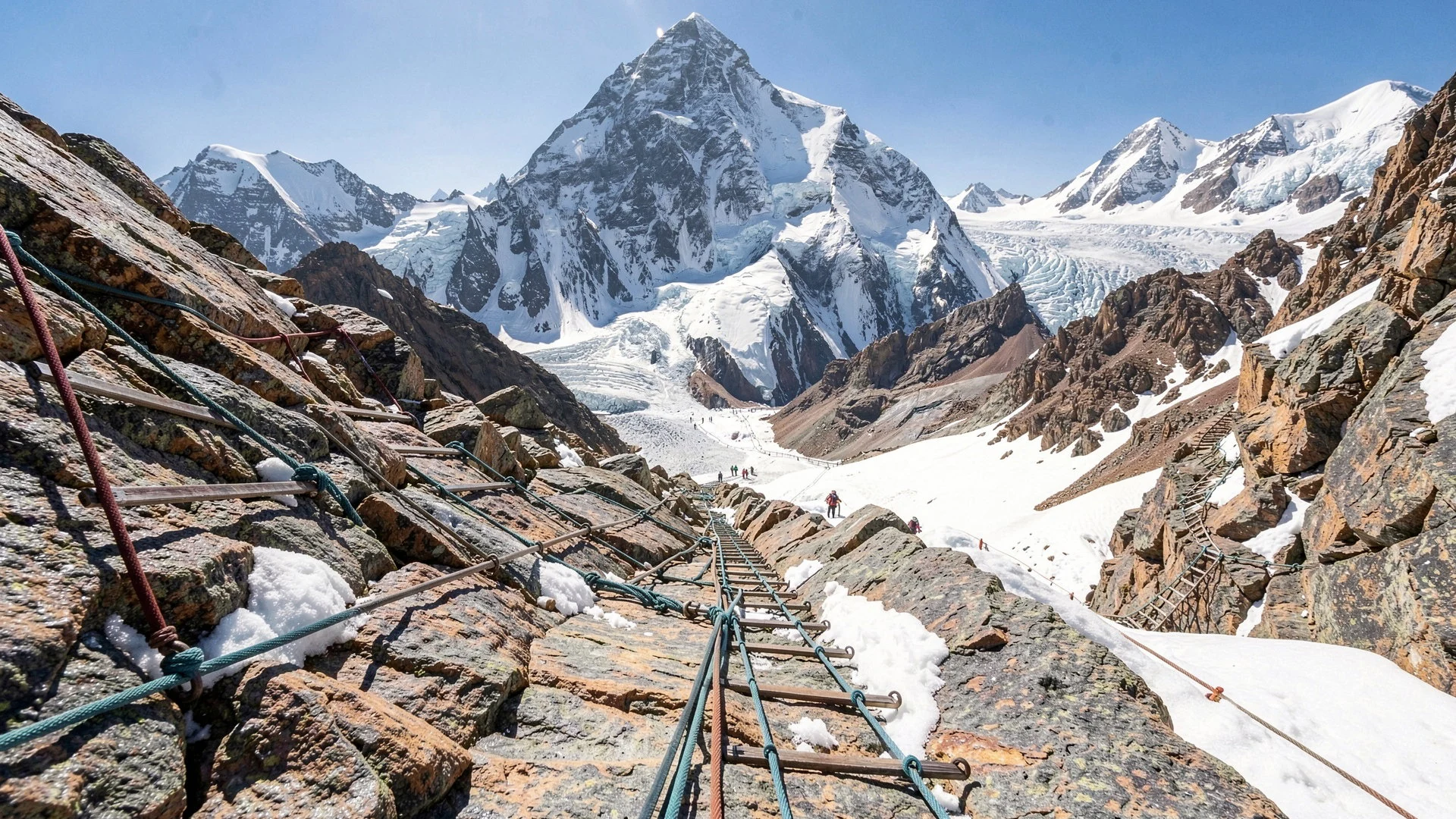
- K2 Base Camp
Situated at the foot of the mountain, the base camp is the final staging area for expeditions. It is a place of intense preparation and anxiety, where climbers wait for a weather window. The view of the summit from here is one of the most iconic sights in mountaineering.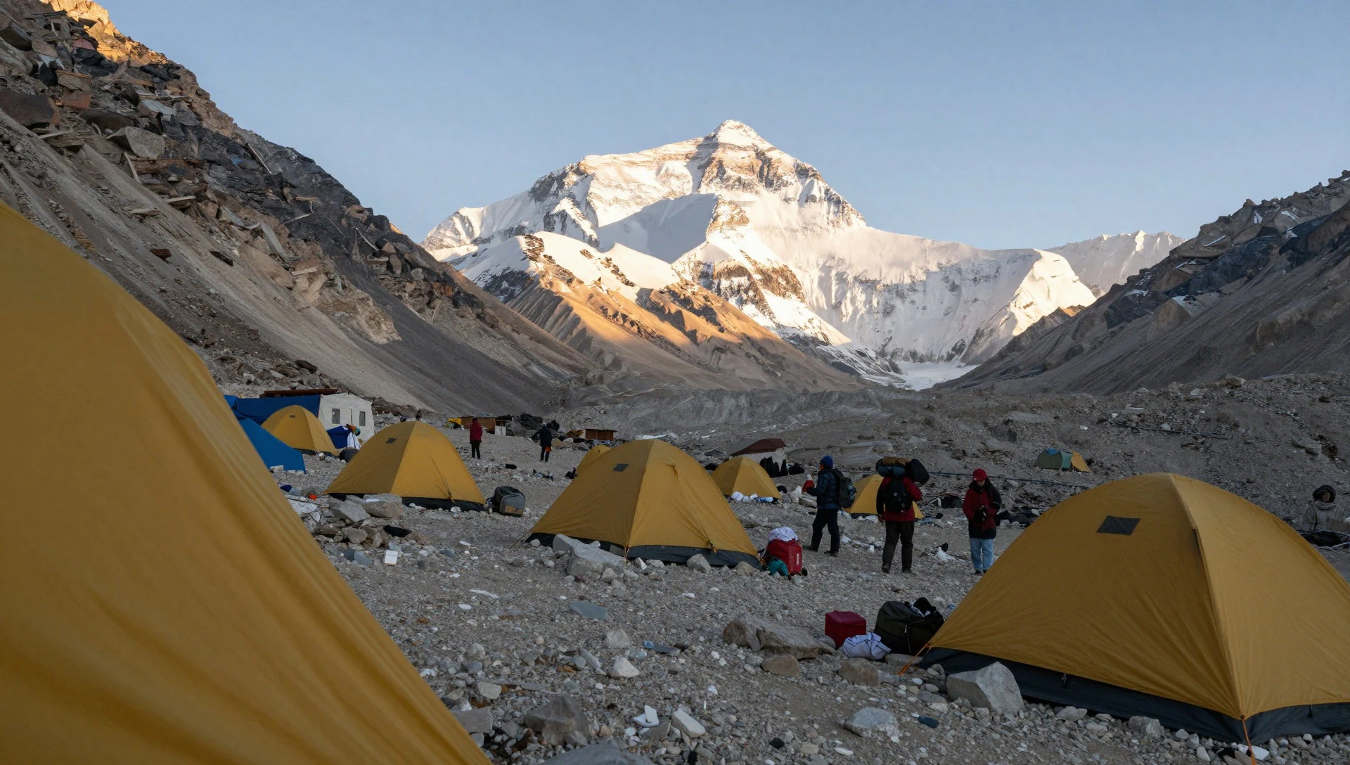
- The Northwest Face
This side of the mountain is famous for its daunting verticality and technical difficulty. Various routes have been attempted here, including the West Ridge, though they are far less common than the Abruzzi Spur. It is a wall of rock and ice that looks nearly impossible to scale.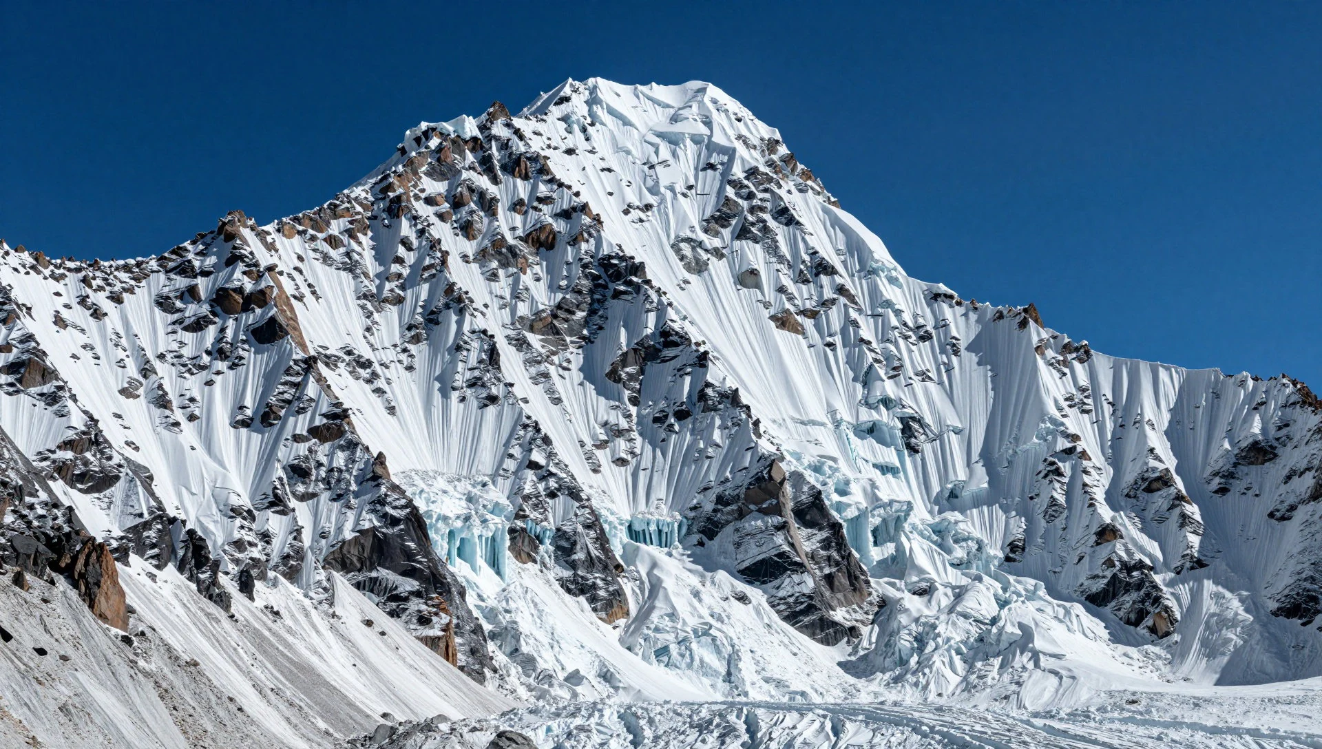
- The Memorial
Located above the base camp on the south spur, this site honours the climbers who lost their lives attempting the peak. It is a poignant spot for reflection, where the silence of the mountains is broken only by the wind, reminding all visitors of the peak's danger.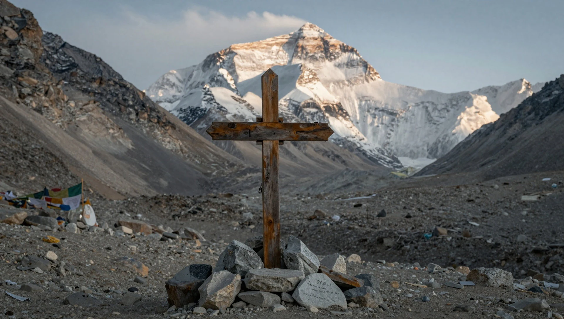
- The Eastern Face
The eastern face of K2 is legendary for being one of the few remaining unclimbed faces on the world's highest mountains. Its instability, caused by treacherous ice and snow formations, makes it a forbidden zone, adding to the mystical and unconquered aura of the mountain.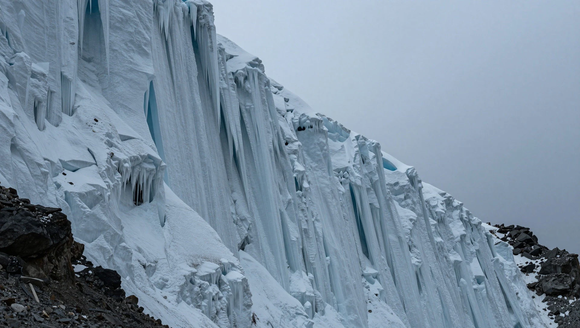
Culture
The culture surrounding K2 is defined by the resilience of the Balti people and the global community of high-altitude mountaineers. In the villages of Gilgit-Baltistan, life is dictated by the seasons and the demands of the terrain. The Balti culture is a unique blend of Tibetan and Central Asian influences, evident in their architecture and language. For the porters and guides who support expeditions, K2 is both a source of livelihood and a respected, feared entity. There is a deep-rooted tradition of hospitality in the region, where guests are welcomed with warmth despite the harsh conditions. Among the climbers, a distinct subculture exists—one of shared hardship, extreme discipline, and a profound respect for the mountain's power. This environment fosters bonds of trust that are essential for survival in the 'Death Zone'. Visitors should be mindful that they are entering a region where nature is the dominant force and human life is fragile. Please ensure you do not leave any litter or waste on the mountain or in the trekking camps.
What to wear
Fashion at K2 is entirely dictated by survival and the extreme environment. In the surrounding Baltistan region, traditional dress includes the 'shuka', a heavy, hand-woven woollen cloak often in earthy tones, designed to withstand the biting cold of the Karakoram. These textiles are prized for their warmth and durability. Nowadays, local guides and porters often mix these traditional garments with modern synthetic gear, such as fleece jackets and sturdy hiking boots, provided by international expeditions. For visitors, the clothing requirements are rigorous. You will need professional-grade alpine gear: multi-layered merino wool base layers, heavy down parkas for the freezing nights, and high-altitude mountaineering boots. Waterproof Gore-Tex shells are essential to protect against sudden storms. Modesty is also important in the local villages; covering shoulders and knees is a sign of respect. Footwear must be broken-in trekking boots with ankle support to handle the rocky, unstable moraine of the glaciers.
What to eat
- Namkeen Gosht — village eateries in Skardu
A salty, slow-cooked mutton dish that provides essential fats and proteins for those trekking in the cold. It is commonly served in the village eateries of Skardu and the upper valleys.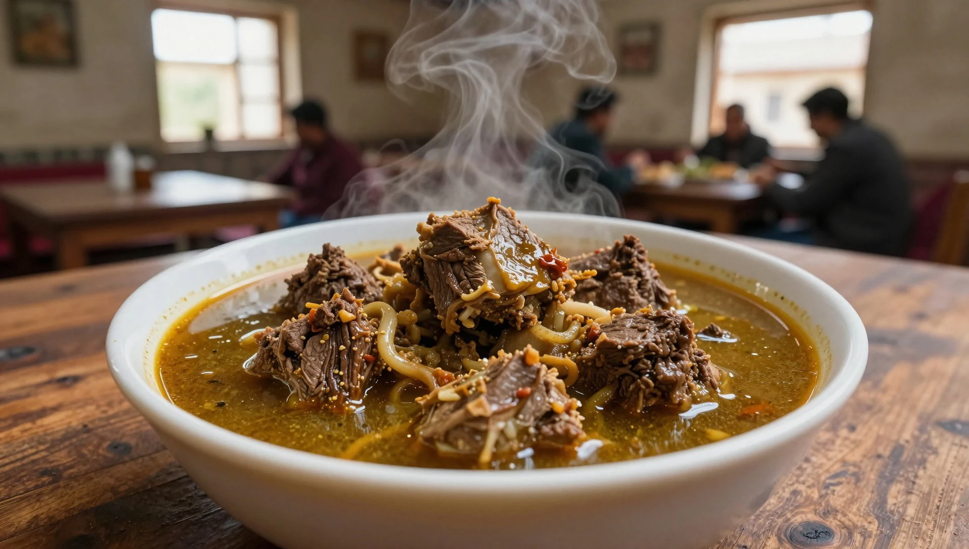
- Butter Tea — local Balti homes
A salty, creamy tea made with yak butter, providing warmth and calories. It is a staple in the high-altitude camps and local Balti homes to combat the thin air.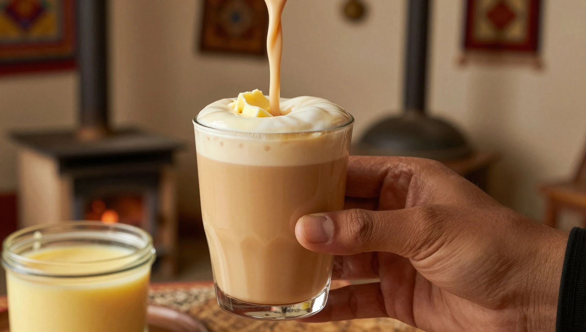
- Chapati and Daal — trekking camps
Simple, hearty flatbreads served with a thick lentil stew. This is the primary energy source for porters and trekkers throughout the long approach to the base camp. - Dried Apricots — markets in Gilgit and Skardu
The region is famous for its apricots, which are dried in the sun. They provide a quick burst of sugar and energy during the strenuous climb up the glaciers. - Mamtu — eateries in Skardu
Steamed dumplings filled with spiced meat and onions, often served with a yoghurt dip. These are a comforting treat found in the more populated hubs of the region.
Plan it
Best time. July–August are the warmest months and the primary window for climbing; however, weather remains unpredictable.
How long. 14–21
Getting there. Fly from Islamabad to Skardu via Pakistan International Airlines (weather permitting); alternatively, take a bus from Islamabad to Skardu via the Karakoram Highway, which can take up to 36 hours.
Budget. high
Tips
- Stop over in Gilgit to acclimatise before heading to Skardu
- Hire pack horses for the trek to ensure you have a way to transport gear or a sick teammate
- Boil all glacier water thoroughly to avoid infectious diarrhoea
- Carry a comprehensive first aid kit and be aware that helicopter rescue is very expensive
- Check official permits for the Gilgit-Baltistan region before travelling
Etiquette
- Dress modestly when visiting local villages
- Always ask permission before photographing local people
- Avoid open defecation and use designated waste bags in the mountains
Nearby
Sources
- Wikidata Q43512 (CC0)
- Wikipedia (CC BY-SA 4.0)
- Wikivoyage (CC BY-SA 4.0)