iSimangaliso Wetland Park
iSimangaliso Wetland Park, South Africa
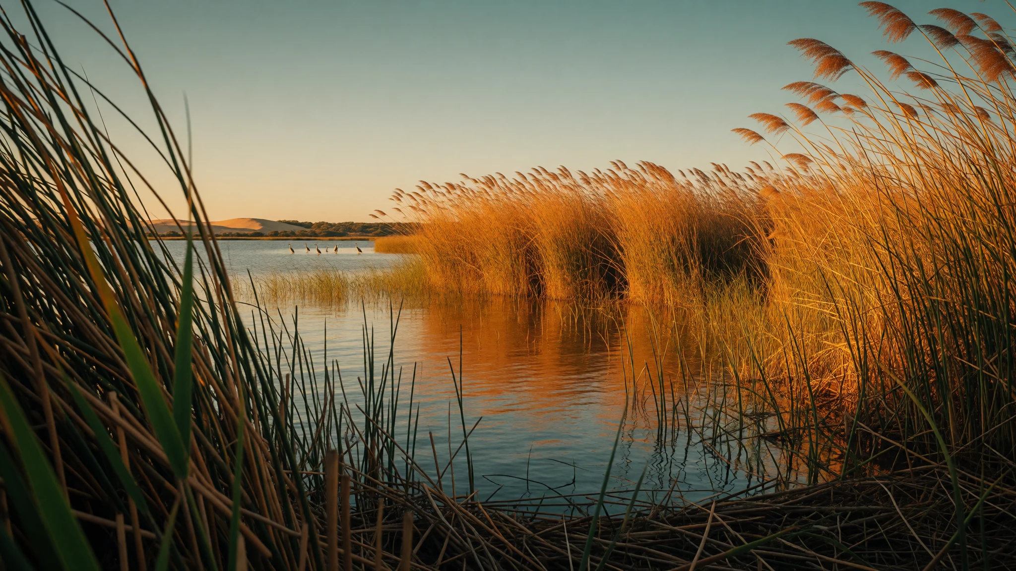
iSimangaliso Wetland Park stitches together lakes, beaches and game country, with wetlands that make wildlife viewing feel unusually up-close.
The place
iSimangaliso Wetland Park sits along the east coast of KwaZulu-Natal, South Africa, with the park’s water and wetlands doing most of the talking. The coastline runs from the Mozambican border in the north to Mapelane south of the Lake St. Lucia estuary, and the landscape is managed as a patchwork: Lake St. Lucia, the St. Lucia Game Reserve, False Bay Park, Kosi Bay, Lake Eteza and Lake Sibhayi, plus a marine reserve. It’s a place where the “view” often becomes movement—by car along park roads, on foot where walks are allowed, or from the water on a boat cruise.
Most visits are centred on St Lucia (the town is basically the gateway) because that’s where logistics are easiest and where you’ll find plenty of services. From there, the park’s different bays and lakes give the feeling of being in several worlds: quieter, reed-fringed water; open beach stretches such as Cape Vidal; and viewpoints where you can scan for hippos, birds, and the general rhythm of animals using the wetland edges.
Crowds can spike in peak holiday windows and around popular viewing spots, but the park’s size helps. The real variable is heat, humidity and sun exposure—carry water, take breaks, and plan longer travel times on gravel roads. In the wetter months, some paths can feel soft underfoot, while in drier stretches driving and walking are more comfortable. The park also marks areas with dangerous game, so expect occasional restrictions and follow the signage and guides’ instructions.
Its story
iSimangaliso Wetland Park carries an older story than the modern conservation landscape. Before the late nineteenth century, the bay area was home to Tsonga communities and their fish kraals. Over the long run, people lived here for generations, building their lives around the water and the rhythms of the coastline.
European records also refer to Tsonga presence in this region. The park area was known at different times by names such as Tembeland or Thongaland, though that wording fell out of use in the early part of the twentieth century. Local governance was tied to Tsonga royal lines, including the Tembe royal family around St Lucia and another royal class around Maputo, both within a wider Tsonga branch structure.
Later, the wetlands drew scientific attention. In the early 1890s, Swiss missionary Reverend Henri-Alexandre Junod—often called H.A. Junod—conducted study of the Tsonga people and produced a map showing settlement patterns around the bay. That mapping work is part of why visitors today can still feel how “water” in this place has always meant more than scenery: it’s been livelihood, route, and home. The modern name iSimangaliso, meaning “a miracle” or “something wondrous” in Zulu, also points to a tradition of describing the landscape through wonder.
The park’s conservation chapter starts in the contemporary era, with the area renamed on 1 November 2007 after being known as the Greater St. Lucia Wetland Park. Today, that continuity—between long human presence and a protected environment—sits underneath the wildlife and the beaches.
What to see
- Kosi Bay — Far north within the park boundaries
Kosi Bay is a quieter corner of the park where the coastline and water systems feel more remote. The area is used for self-guided exploring as well as activities arranged by local providers, and it’s the kind of place where birdlife and small-water landscapes dominate the experience.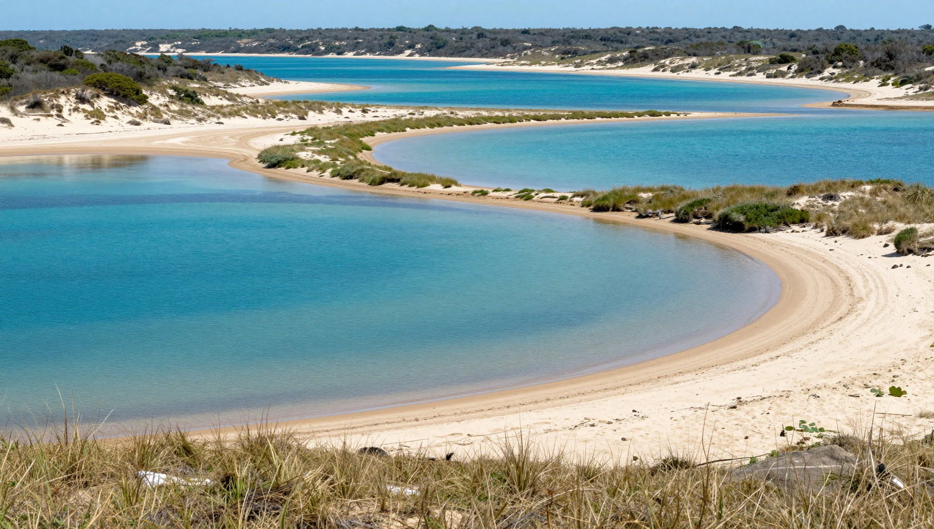
- Mapelane Nature Reserve — Within iSimangaliso Wetland Park near Mapelane
Mapelane is one of the park’s reserve areas and a strong option for walkers and those who want to focus on habitat rather than just beaches. It’s also a practical base for day plans that combine viewpoints, short drives, and time outdoors where the wetland edges shape what you see.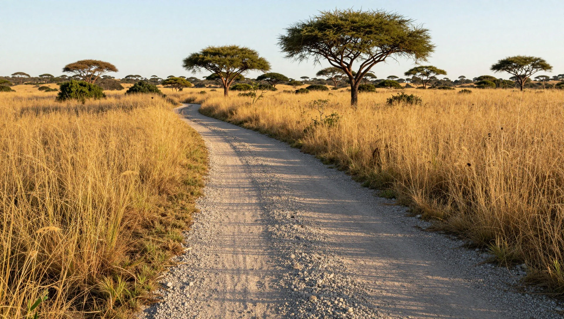
- Cape Vidal — Cape Vidal area (beach zone)
Cape Vidal is where the park’s beachside atmosphere turns the trip into a long, sunny unwind between wildlife checks. It works well for easy beach time, and it’s also handy if the plan includes camping nearby and early starts—helpful when the sun and heat build through the day.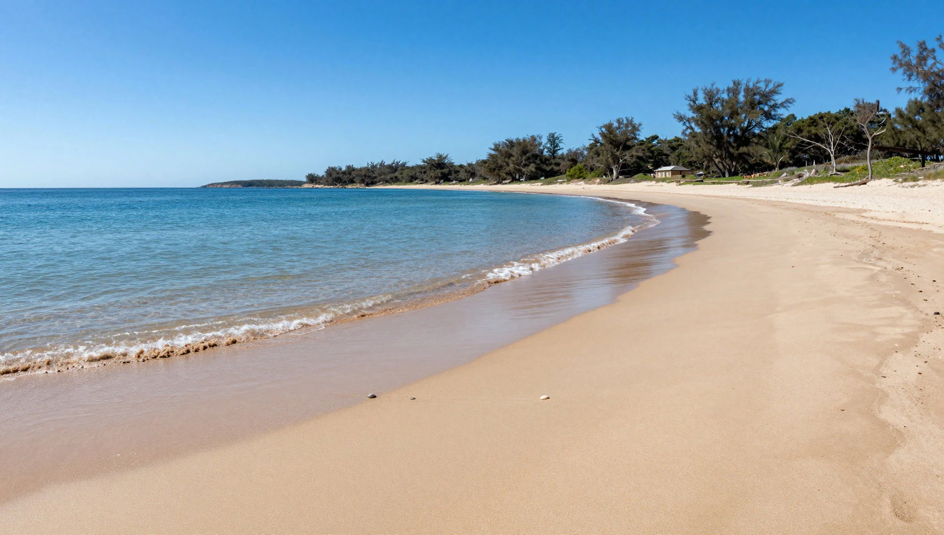
- Lake St. Lucia & St Lucia Game Reserve — Lake St. Lucia and the St Lucia Game Reserve
Around Lake St. Lucia, the wetland scenery and animal life overlap. Vehicle-based safaris and self-managed driving routes are both common ways to explore the reserve areas, but boat and water-based outings often deliver the most “wetland feel”, especially for spotting large water animals at the water’s edge.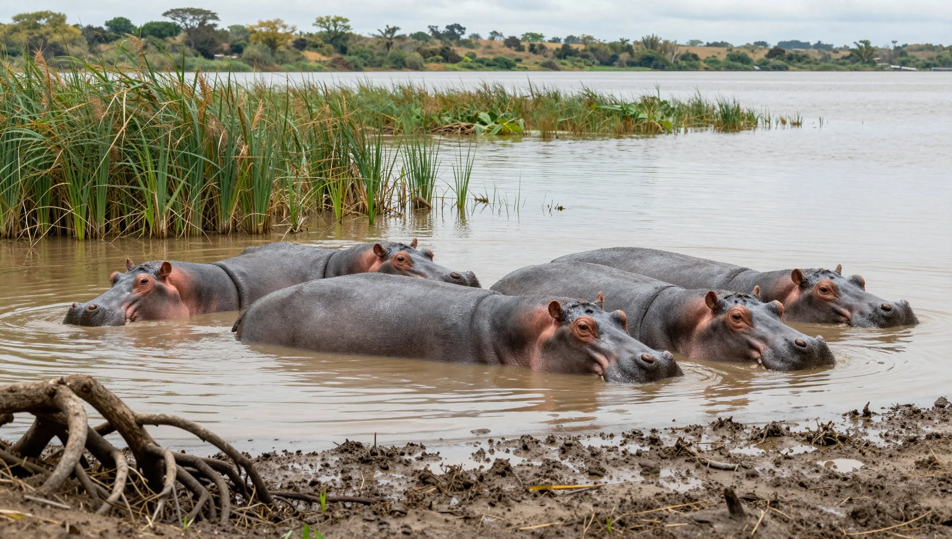
- uMthoma Aerial Boardwalk (Western Shores) — Western Shores
The aerial boardwalk experience is about getting above the wetland structure. It’s a good place to slow down, look at bird activity and vegetation patterns, and understand how the landscape is layered—reed beds, shallow channels and open water all sitting next to each other.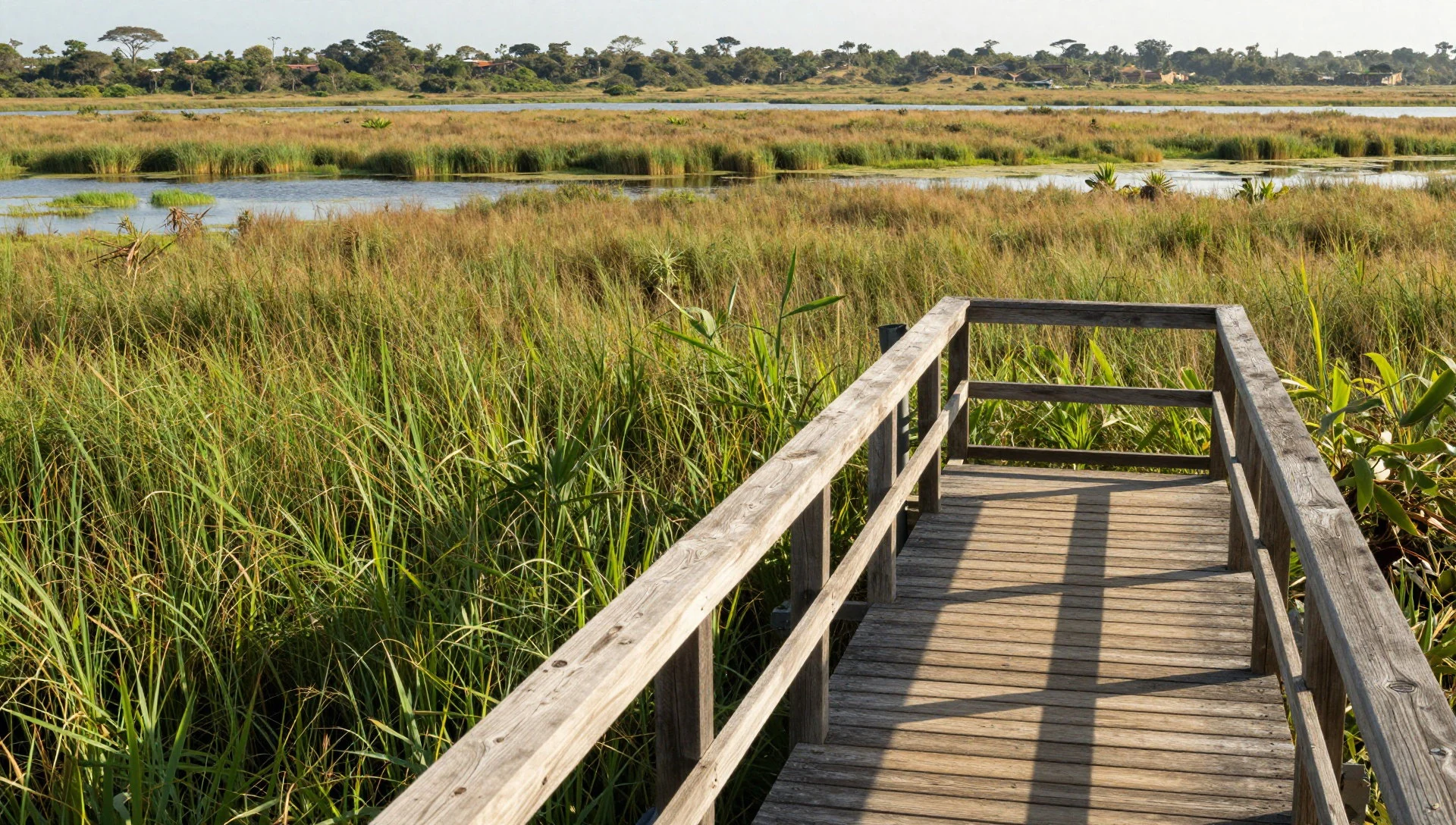
Culture
iSimangaliso Wetland Park is shaped by water, and local culture sits close to that reality. The park area has long ties to Tsonga communities, and the landscape name itself—iSimangaliso—comes from Zulu, pointing to the way people have described the place as “wondrous”. Today, the visitor experience reflects that continuity through how activities are organised: some are self-managed, but many visitors also book guided options with local service providers and lodges.
Because this is a protected area, culture here also means rules. Safety signage matters: areas with dangerous game are marked, and walking routes can be restricted. On the water, behaviour around boats and wildlife matters too—keep movement calm, follow crew guidance, and avoid crowding animals at the shoreline.
There’s also a practical etiquette side to wetlands travel. Wear footwear that can handle sandy or uneven ground, and give space at crowded viewing points so others can see. If visiting sacred or community areas nearby, dress modestly and follow any instructions from hosts or guides.
Respect park restrictions and signage, and keep noise down and distance from animals and local people, especially at viewpoints.
What to wear
In iSimangaliso Wetland Park, clothing is less about fashion and more about surviving the outdoors comfortably. Traditional dress across the region is typically worn for ceremonies and cultural events rather than everyday park walks. Textiles and styles vary, but visitors often see patterned fabrics and formal garments tied to local cultural identity—think of clothing that can cover up modestly for community settings.
What people wear day-to-day is straightforward: breathable tops, light trousers or shorts, and sun protection for the heat and glare. On beaches like Cape Vidal, the practical choice is quick-drying layers because sand and sea spray change the feel of the day. For wildlife viewing and walking sections, closed-toe shoes or sturdy sandals with grip are sensible, especially on gravel and boardwalk areas.
For visitors, pack a light rain layer if travelling in wetter periods, plus a hat and sunglasses. If entering areas where modesty is expected—whether community spaces near town or any religious sites—bring a light scarf or extra layer. At the water’s edge, avoid anything heavy or hard-to-dry; the best wardrobe is the one that stays comfortable when it gets humid and sunny.
What to eat
- Meals in St Lucia restaurants — St Lucia town
For food, St Lucia is the easiest bet: sit-down restaurant meals before a day in the park or after a long drive back. It’s the most reliable way to eat without planning around limited options in the more remote park areas.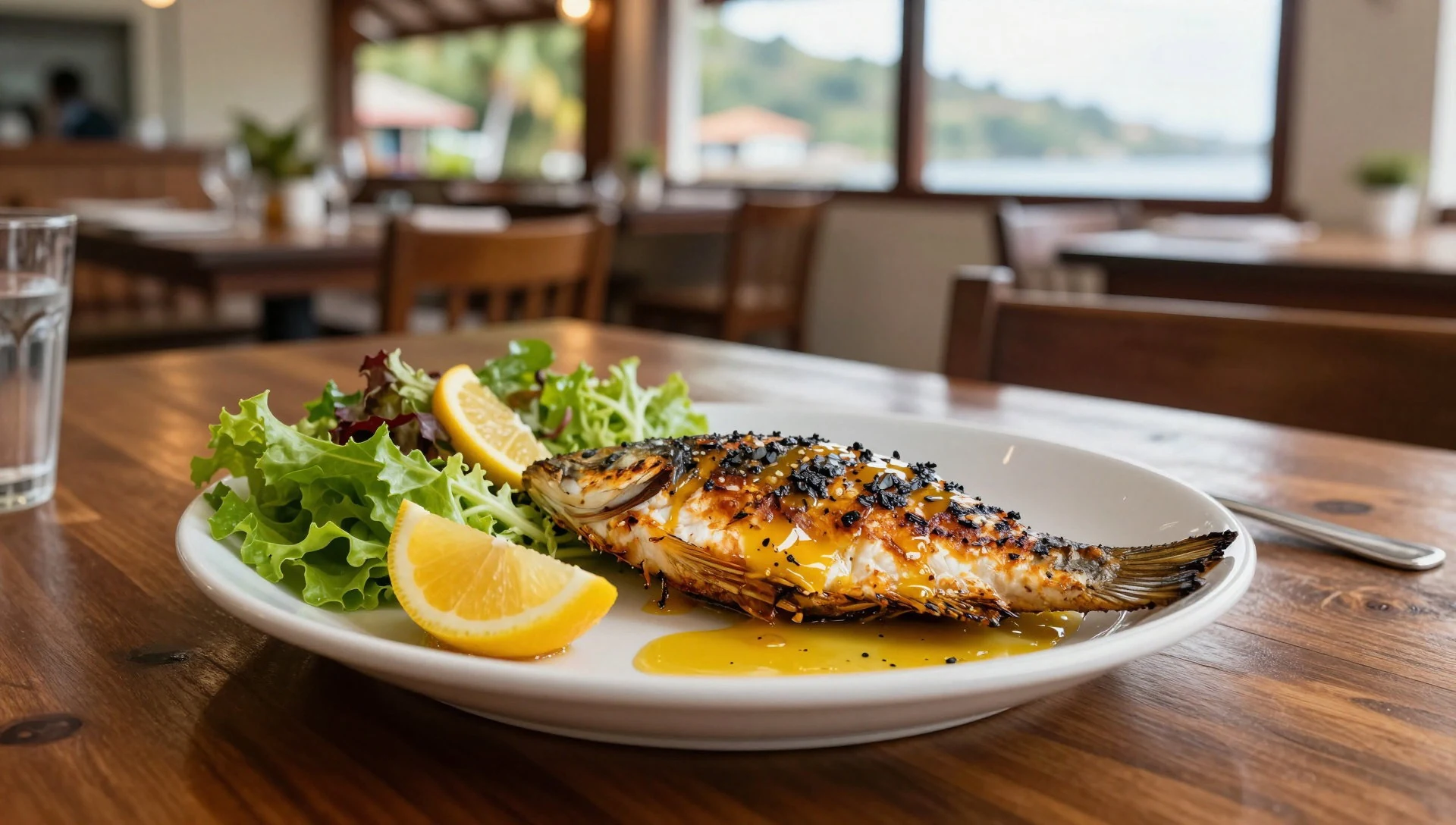
- Coastal and wetland seafood-style dishes — Restaurants in and around St Lucia
Along the coastline, expect the kind of dishes that lean coastal—fish and other seafood options show up on menus and make a nice contrast to the dry, dusty parts of a driving day in the park.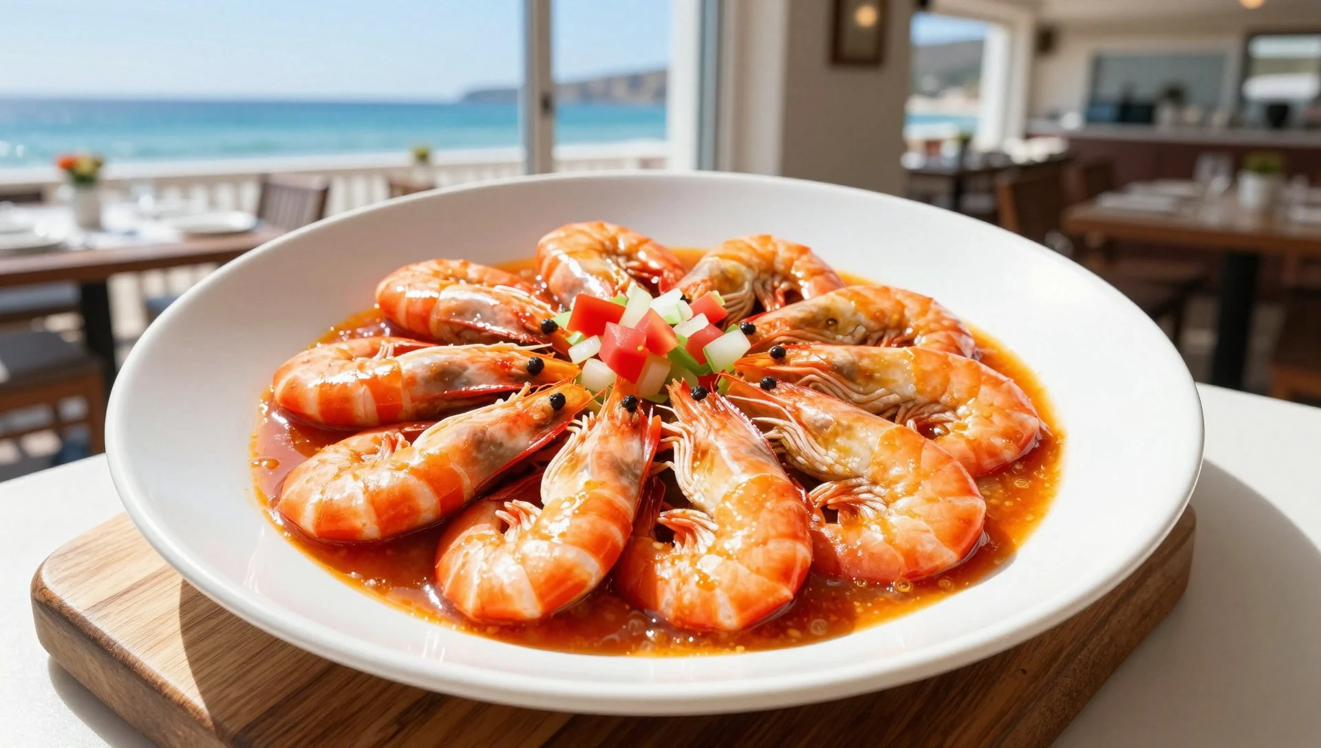
- Local salads and vegetable sides — Eateries in St Lucia
When travelling in warm weather, lighter sides help. Look for vegetable-based sides with fresh flavours at local eateries—use them to balance heavier meals after a busy morning drive or boat trip. - Snacks for road days — St Lucia town shops and markets
For the in-between moments—waiting for wildlife, grabbing a quick break at a viewpoint—keep it simple. Markets and convenience-style shops in St Lucia town typically make it easy to assemble snacks for the next stretch.
Plan it
Best time. March–April and October–November are comfortable choices because they sit outside the hottest and wettest parts of the year; June is the rainy season and August is hot and humid.
How long. 3–4
Getting there. Fly into Durban, then follow the N2 northwards. Take a right turn around the 250 km mark, roughly 50 km before reaching Hluhluwe, to get to St Lucia, which essentially acts as the gateway to the park.
Budget. mid
Tips
- Base in St Lucia so day routes to bays and reserves don’t eat the whole day
- Start boat or wildlife-focused activities early to avoid midday heat
- Plan around sign-posted areas with dangerous game and accept walk restrictions
- Keep water and sun protection to hand for outdoor stretches and beach time
- If doing self-managed drives, allow extra time on gravel road segments
Etiquette
- Follow all park signage, especially where walking may be restricted
- Give animals space and avoid blocking views at wetlands and shorelines
- If joining guided activities, listen for safety briefings and stick to the group
Nearby
Sources
- Wikidata Q310719 (CC0)
- Wikipedia (rev 1362766069) (CC BY-SA 4.0)
- Wikivoyage (rev 5404177) (CC BY-SA 4.0)
- Photo photos/06-isimangaliso-wetland-park-gravel-road.jpg (CC BY-SA 4.0)
- Photo photos/07-isimangaliso-wetlands-33439687288.jpg (CC BY-SA 2.0)
- Photo photos/04-cape-vidal-beach-2015.jpg (CC BY-SA 4.0)
- Photo photos/03-kosi-bay-img-3565.jpg (CC BY-SA 2.0)
- Photo photos/05-hippopotamus-at-st-lucia.jpg (CC BY 3.0)
- Photo photos/01-greater-st-lucia.jpg (CC BY 3.0)
- Photo photos/02-greaterstlucia.jpg (CC BY 3.0)
- Photo photos/08-ayamda-khoza-at-work.jpg (CC BY-SA 4.0)


