Huascarán National Park
Huascarán National Park, Peru
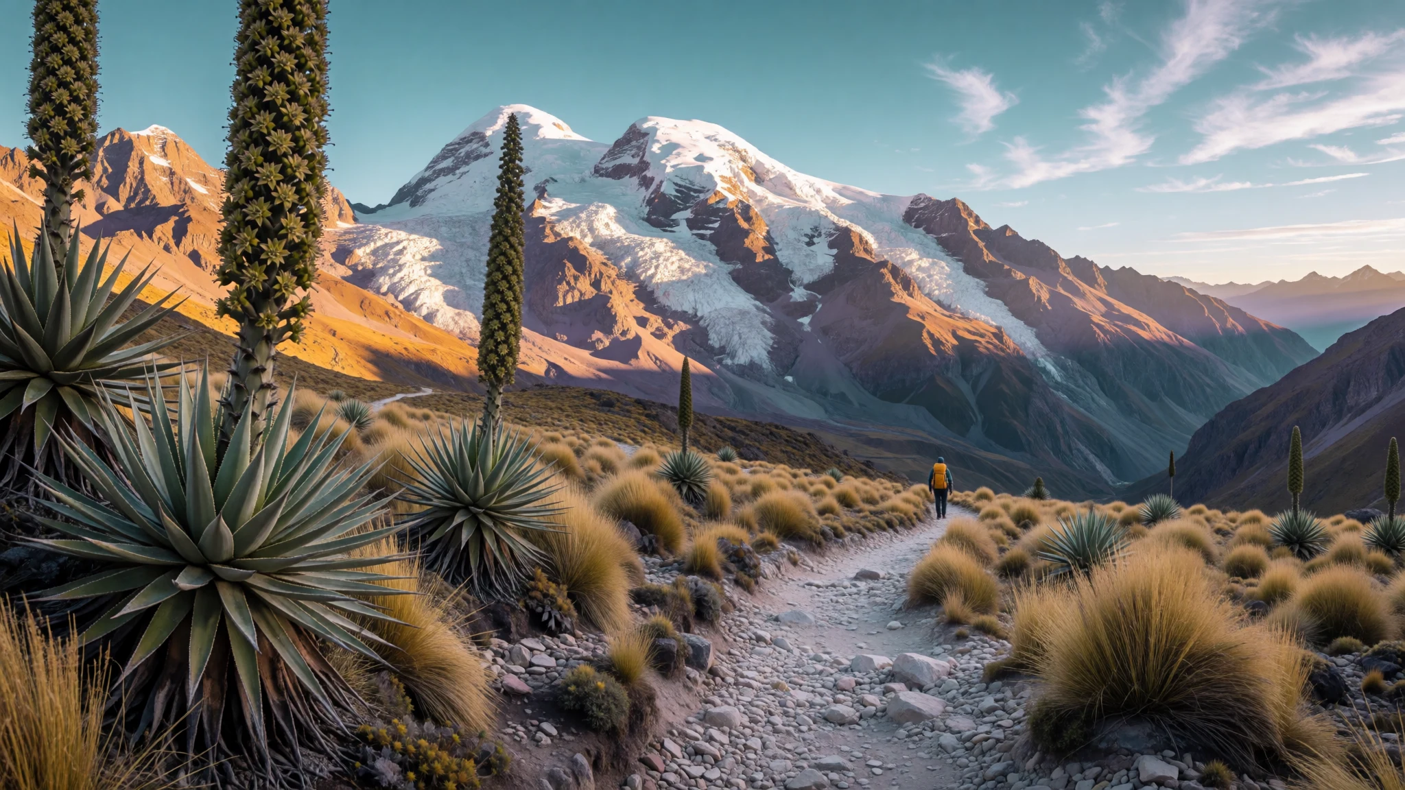
Huascarán National Park is for high-altitude hikes, turquoise lakes and wildlife in a cold, dramatic slice of the Andes.
The place
Huascarán National Park (Parque Nacional Huascarán) sits in Peru’s Ancash region and protects most of the Cordillera Blanca range in the central Andes. It’s a big protected mountain landscape, centred on snow-capped peaks, glaciers, deep valleys and high lakes—so the scenery changes constantly as roads and trails climb. The park is known for mountaineering, but it also supports day hikes and longer trekking routes, plus wildlife watching and a lot of quiet nature time.
The park’s geography is part of the appeal. Glaciated areas and lakes feed rivers that run west to the Pacific via the Santa River and east towards the Amazon system via the Marañón River. You can feel this “bridge” of ecosystems in the vegetation: between cold slopes and lower valleys, plant life adapts to harsh altitude. Look out for species such as Polylepis trees, and the Queen of the Andes among the high ground plants; if you’re patient, you may also spot larger wildlife like spectacled bears and condors.
Logistically, most people base themselves in nearby towns such as Huaraz or Caraz and drive out into the park’s sectors. Expect altitude to be the main challenge more than distance: many routes sit at very high elevation, and conditions can shift fast with snow or rain. It’s also a place where weather seasons matter—dry months bring clearer daylight, while the wetter months add green hillsides but more cloud and storm risk.
Its story
Huascarán National Park didn’t appear overnight; it was built through decades of proposals, rules and boundary work. The first official push began in 1960, when Senator Augusto Guzmán Robles put the idea of a park before Peru’s Congress. After that, agencies worked through early planning and delimitation, including steps that restricted logging and hunting within the Cordillera Blanca area.
By the mid-1960s, park structures were forming around the Cordillera Blanca, with local and national groups coordinating surveillance and protection for species such as vicuña and the “queen of the Andes”. On the ground, there was also a practical side to conservation: boundaries had to be drawn with settlements in mind, and where communities still raised livestock, the park authorities aimed to regulate how this happened.
Huascarán later gained wider international recognition through UNESCO. That included a biosphere reserve status that extended beyond the park’s strict borders into the wider Santa River valley, where villages and towns also play a role in the landscape. Eventually, the area was designated as a World Heritage Site, reflecting both the mountain scenery and the ecological importance of what the park protects today.
For visitors, that history shows up in how the park is managed: it’s not just “scenery”, it’s an active protected area with ongoing monitoring, rules for how land use is handled, and an emphasis on keeping the high-altitude ecosystems functioning.
What to see
- Laguna Llanganuco — Llanganuco area (Cordillera Blanca side near Huaraz)
Laguna Llanganuco sits up in the Cordillera Blanca scenery and is a go-to photo stop on routes into Huascarán’s high country. The water looks strikingly pale-blue against snowy slopes, and the drive-in helps you gauge altitude before any hike.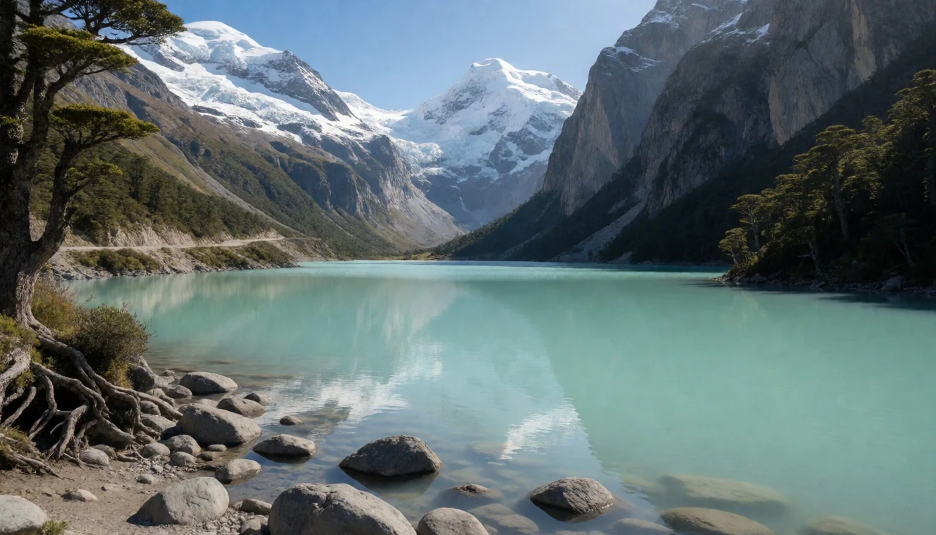
- Laguna 69 — Route from Huaraz (Cebollapampa trailhead)
Laguna 69 is a high, blue alpine lake reached via a trail that starts at Cebollapampa and climbs up towards the water. It’s a popular day trip from Huaraz and can be done self-guided or with a tour—just remember the climb is altitude-fuelled, not just leg-powered.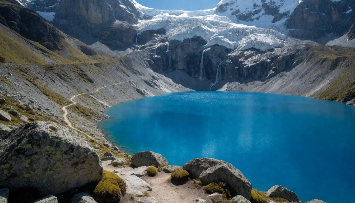
- Laguna Churup — Near Huaraz (Churup trail area)
Laguna Churup is an established hike above Huaraz that follows a well-marked path towards a lake with big views back over the region. The trail feels manageable compared with longer trekking days, but the altitude still makes pacing important.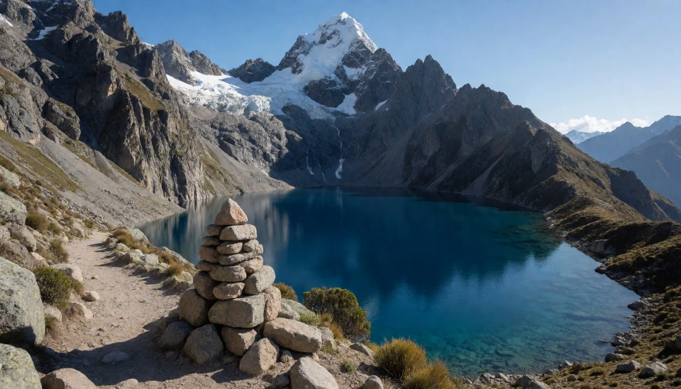
- Santa Cruz Trek — Cordillera Blanca treks (Santa Cruz route)
The Santa Cruz Trek is a multi-day hike that climbs over a high pass and threads through dramatic valleys. If previous days include acclimatisation, this route becomes a proper “see the range” journey rather than just a strenuous outing—still, plan for challenging sections at altitude.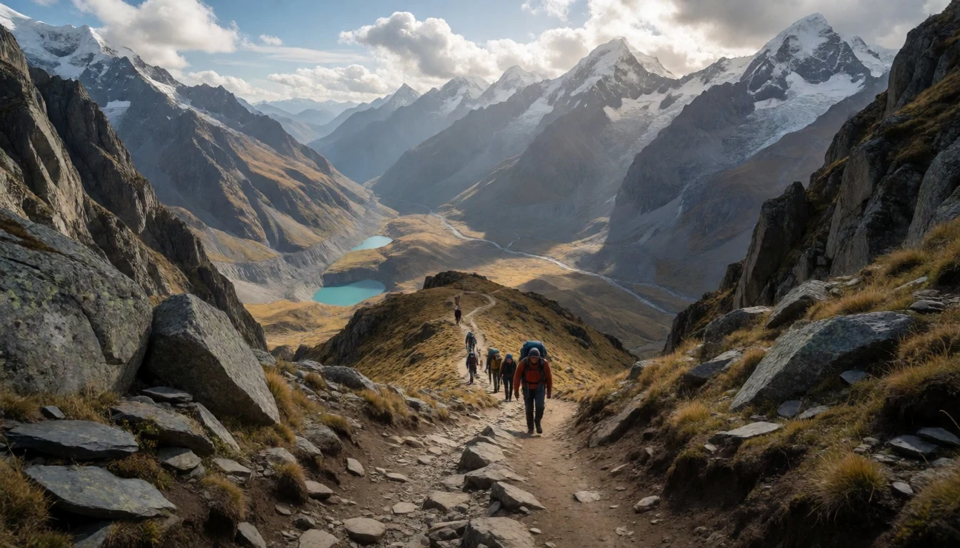
Culture
Huascarán National Park isn’t focused on villages and monuments in the way some heritage destinations are; the “culture” here is the lived relationship between people, farming or grazing and a protected high mountain environment. Communities around the park have long depended on the broader landscape, and even where settlement boundaries were avoided in park planning, livestock activity continues in regulated ways.
That means your behaviour matters even when you’re outdoors away from crowds. Wildlife is part of the daily reality—condors circling high slopes, smaller mammals moving through the tussock—and trails often cross areas where people rely on the land for seasonal needs. The best way to show respect is to treat the park like an operating conservation zone: stay on paths, keep noise down, and don’t approach animals for closer photos.
You’ll also see an Andean approach to adaptation: layered clothing, quick checks of cloud cover, and an attitude that the mountain can change fast. In wet months, the trail conditions can turn slippery; in colder snaps, surfaces can feel sharp and exposed. Make room for patience, including slower walking and more frequent water breaks.
Visitor etiquette: stay on marked trails and keep a respectful distance from wildlife and other people’s grazing areas.
What to wear
In and around Huascarán National Park, dressing is mostly about altitude and weather swings. Traditional Andean textiles—bright woven garments made on hand looms, often with intricate patterns—are common in the wider region, especially in markets and daily wear, and you’ll see wool layers preferred because they trap warmth.
What people actually wear on trekking days is usually practical layering: a base layer that wicks sweat, an insulating mid-layer, and a waterproof outer shell for sudden showers. Even in drier periods, cold nights are common at altitude, so a warm hat and gloves are sensible. For footwear, sturdy hiking boots with grip matter more than style, because trails can be rocky and wet.
For a visitor, the goal is to stay warm without overheating: carry a waterproof jacket, wear sunglasses with UV protection, and bring a spare layer in case cloud and drizzle roll in. If a route involves icy or snow-exposed sections, treat traction and foot support as non-negotiable. In short: aim for layers, waterproofs, and footwear built for uneven ground.
What to eat
- Quinoa and vegetable soup — Huaraz town eateries
A warming quinoa-and-vegetable soup is a classic mountain comfort option, especially in small eateries around Huaraz. It’s the kind of meal that works after a cold morning trail without feeling too heavy.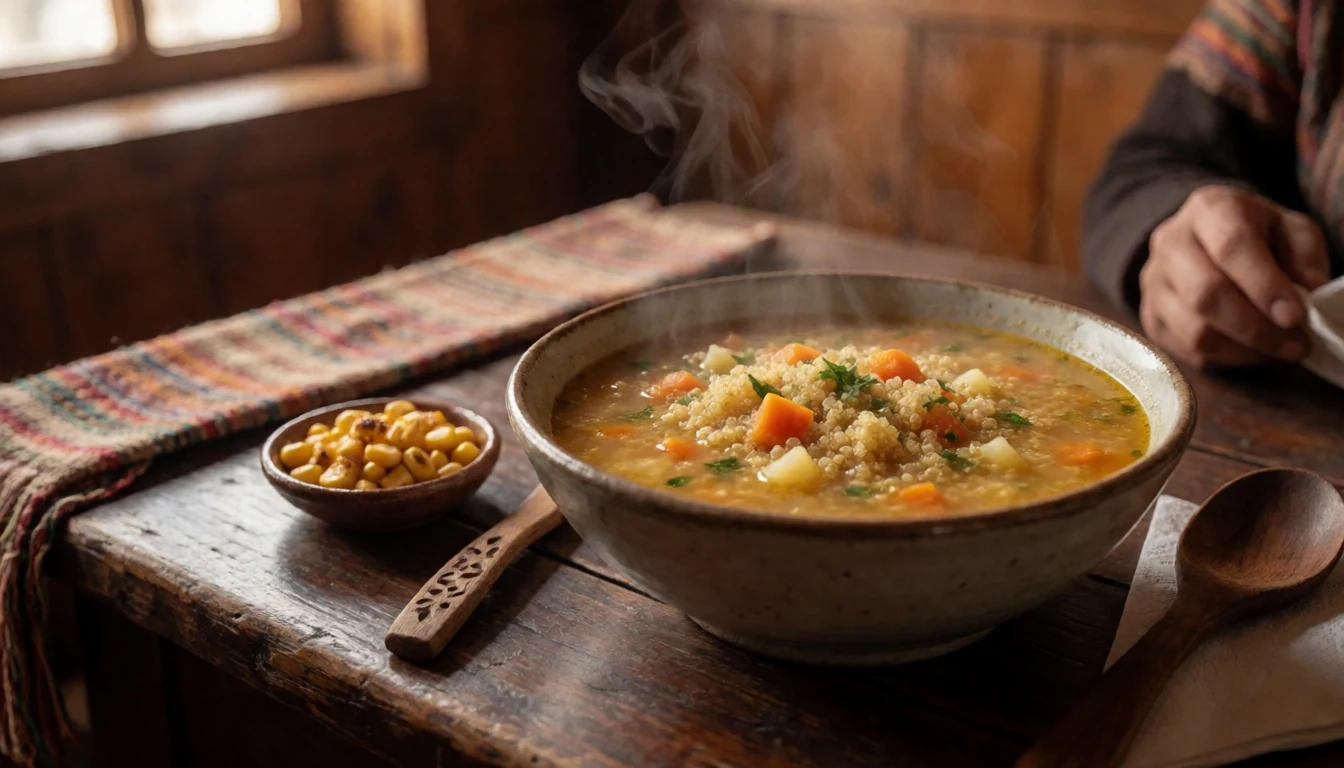
- Andean soup (stew-style) — Main restaurants around Huaraz
Look for hearty stew-style soups in local restaurants in the Huaraz area—simple ingredients simmered for warmth after altitude hikes. It’s usually easy to spot on menus as “sopa”-type dishes served with bread or side staples.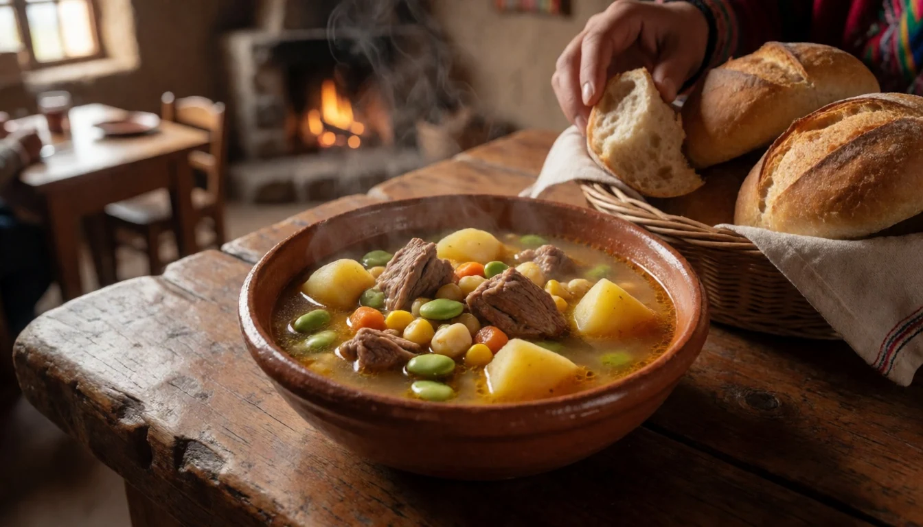
- Trout or fish with sides — Local restaurants in the Huaraz–Caraz corridor
In the wider Cordillera Blanca region, fish dishes—often trout—turn up at regional restaurants when mountain waters are in season. Expect simple sides and sauces rather than heavy flavours, with the focus on freshness and satisfying protein. - Fresh fruit and juices from markets — Town markets around Huaraz and Caraz
For daytime energy, markets and small stalls near town centres are where fruit juices and cut fruit help you refuel without waiting for a full sit-down meal. It’s a practical pick before a drive-out or a trail start. - Roasted potatoes and legumes — Local lunch spots and family-run kitchens
Roasted or boiled potatoes with legumes are common across the Andes and show up in everyday meals around Huaraz. After hiking, they’re filling without needing complicated flavours—just ask for what’s available that day.
Plan it
Best time. April–November for clearer, steadier hiking weather; March, October and November often feel especially good for trekking comfort, while December–March brings more rain and thunderstorms.
How long. 3–4
Getting there. Fly into Peru’s nearest major gateway for the region, then travel by road to the mountain towns next to the park, especially Huaraz or Caraz, before taking local drives to trail starting points.
Budget. mid
Tips
- Acclimatise in Huaraz or Caraz before committing to higher passes and longer days.
- Choose the dry season for the clearest views, and plan extra buffer time when weather is unsettled.
- Carry water and waterproof layers; snow or rain can happen even outside the wet months.
- Start early on trail days to avoid worsening cloud and to give yourself margin at altitude.
Etiquette
- Move slowly and carefully near exposed slopes; snow and avalanche risk can make terrain unforgiving.
- Keep sunglasses with UV protection on hand to reduce glare and protect against snow blindness.
- Stay on marked routes to protect fragile high-altitude habitat.
Nearby
Sources
- Wikidata Q917369 (CC0)
- Wikipedia (rev 1362765405) (CC BY-SA 4.0)
- Wikivoyage (rev 5240553) (CC BY-SA 4.0)
- Photo photos/01-nevado-huascar-n3.jpg (CC BY-SA 4.0)
- Photo photos/02-laguna-llanganuco.jpg (CC BY-SA 4.0)
- Photo photos/03-three-summits-of-huandoy-peru-panoramio.jpg (CC BY 3.0)
- Photo photos/04-riesenbromelie-carpa-tal-2016-01.jpg (CC BY-SA 4.0)
- Photo photos/05-northern-vizcacha2.jpg (CC BY 3.0)
- Photo photos/06-peru-2010.jpg (CC BY 3.0)
- Photo photos/07-acampamento-base-pisco-nevado.jpg (CC BY-SA 4.0)
- Photo photos/08-amanecer-en-huaraz.jpg (CC BY-SA 4.0)


