Grand Teton National Park
Grand Teton National Park, United States
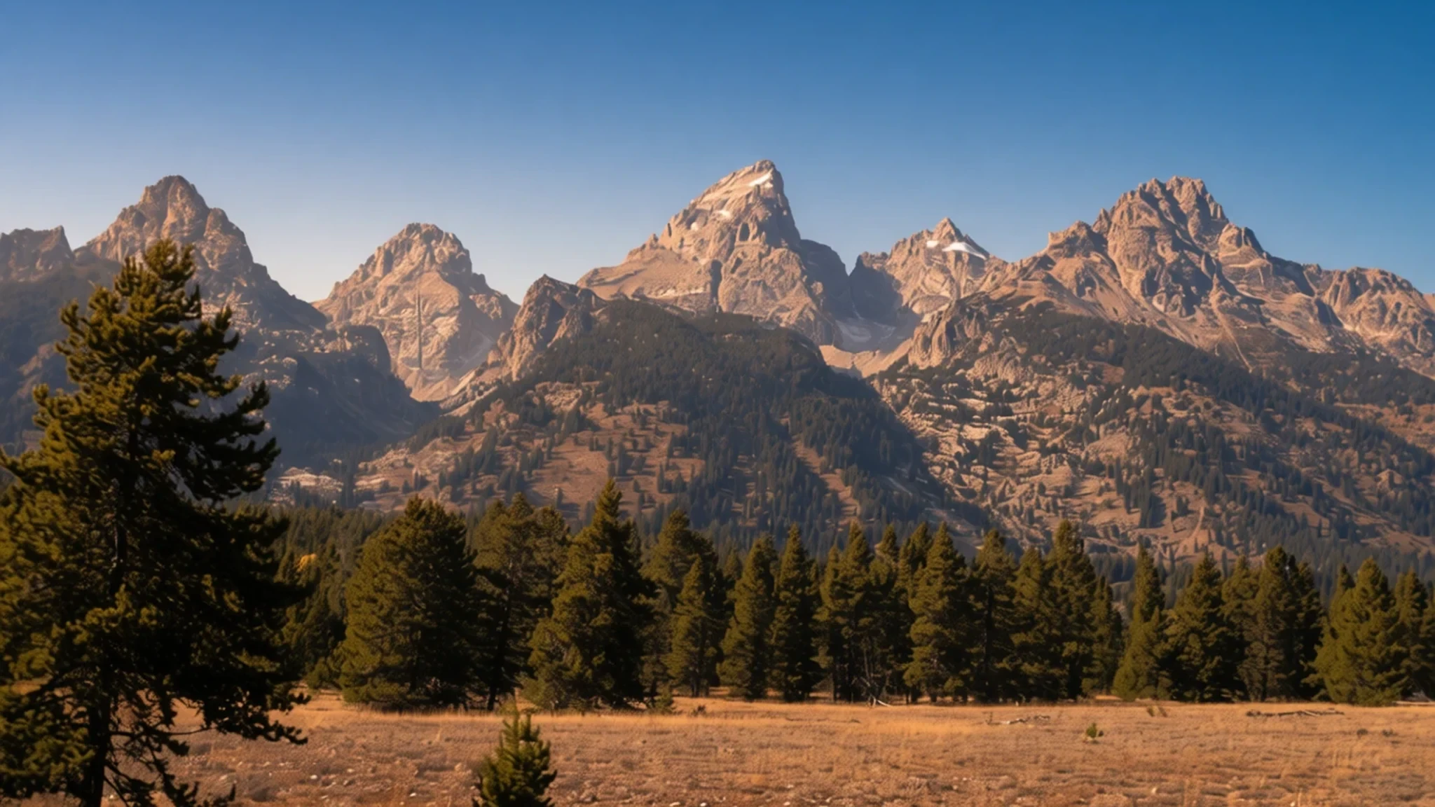
Grand Teton National Park is a wall of jagged peaks above Jackson Hole, with lakes, wildlife and wide valley views in one day.
The place
Grand Teton National Park lies in north-western Wyoming, where the Teton Range rises abruptly above the floor of Jackson Hole. The park takes its name from Grand Teton, the range's highest summit, which stands at 4,199 m (13,775 ft) and climbs more than 2,100 m above the valley. That height is what makes the mountains feel so close from the road. The park also includes much of the northern valley, a broad floor of sagebrush, meadows and cottonwood along the Snake River. Lakes are scattered throughout, including Jackson Lake, and the river winds past them on its way through the park.
The park sits about 16 km south of Yellowstone, and the two are linked by the John D. Rockefeller Jr. Memorial Parkway. Together with the surrounding national forests, they form part of the wider Greater Yellowstone Ecosystem, so animals move freely between them. Moose, elk, bison, antelope and bears all use the valley, and the willow flats are good places to look for them early in the morning.
Summer is the busy season, when the main roads, lodges and trailheads fill up, so early starts bring the calmest conditions. Autumn brings clearer air and thinner crowds, while winter closes the northern route and turns the valley into a snowy landscape. Weather can change quickly at any time of year, because the mountains can bring cold fronts and thunderstorms with little warning.
Its story
Grand Teton National Park carries a human history that runs back at least 11,000 years. When the first European colonizers reached the region in the early nineteenth century, they found the eastern Shoshone people already living there. Fur trading companies followed, competing for the beaver-pelt business, and government expeditions began surveying the country in the mid-nineteenth century. Permanent settlers arrived in the 1880s and took up ranching on the valley floor.
Efforts to protect the mountains began late in the nineteenth century. The park itself was established in 1929 to shelter the major peaks of the Teton Range, but the valley below was left out. During the 1930s John D. Rockefeller Jr. quietly bought land in Jackson Hole, intending to add it to the park. Opinion locally ran against the plan, and Congress made repeated attempts to reverse the measures. In 1943 much of the valley was set aside as Jackson Hole National Monument, a move that met strong resistance. The monument did not last. It was dissolved in 1950, and most of its land was folded into the park. The result is the boundary visitors see on a map today, which joins peaks and valley in one protected area.
What to see
- Oxbow Bend — Northern park, along the Snake River
Oxbow Bend is a calm loop of the Snake River and gives one of the easiest views in the park. Mount Moran rises across the water, and on still mornings its reflection stretches over the river. Birdwatchers come for the many species that feed in the shallows and willows, so bring binoculars. Go in early light, when mist sometimes lifts off the water.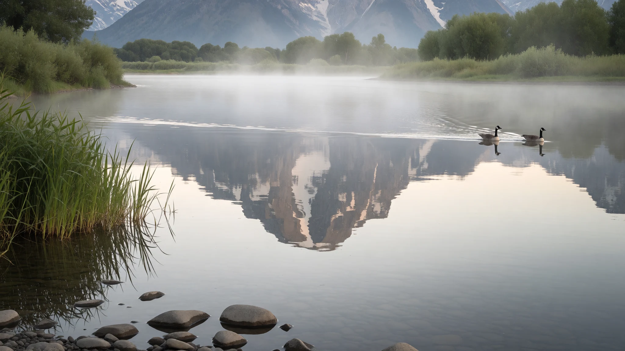
- Cathedral Group turnout — Teton Park Road, central park
The Cathedral Group turnout, on the main park road, frames the three highest peaks of the Teton Range together: Teewinot, Grand Teton and Mount Owen. Because it sits beside the road, it suits a quick stop. Early and late light warms the faces of the peaks, and the pullout fills quickly in summer, so arrive before mid-morning if you can.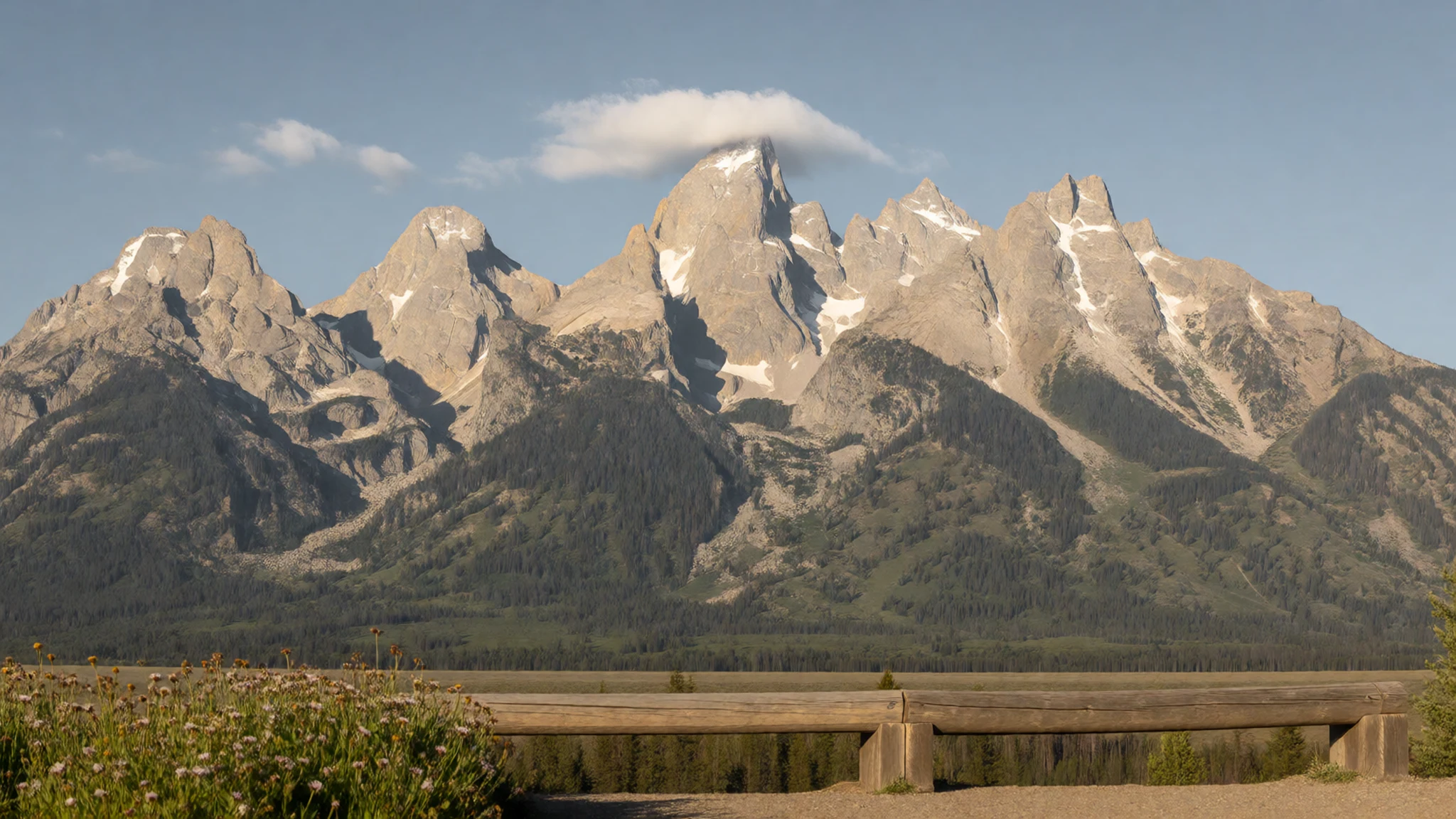
- Snake River Overlook — Highway 89 corridor, south of Jackson Lake
Ansel Adams took a well-known photograph of the Tetons from this overlook, and the composition is still easy to recognise. Mountains stand above the river and the wide valley floor, and the light matters more than the lens. Stop here on the way between Jackson and the lakes, and expect other photographers at dawn and dusk.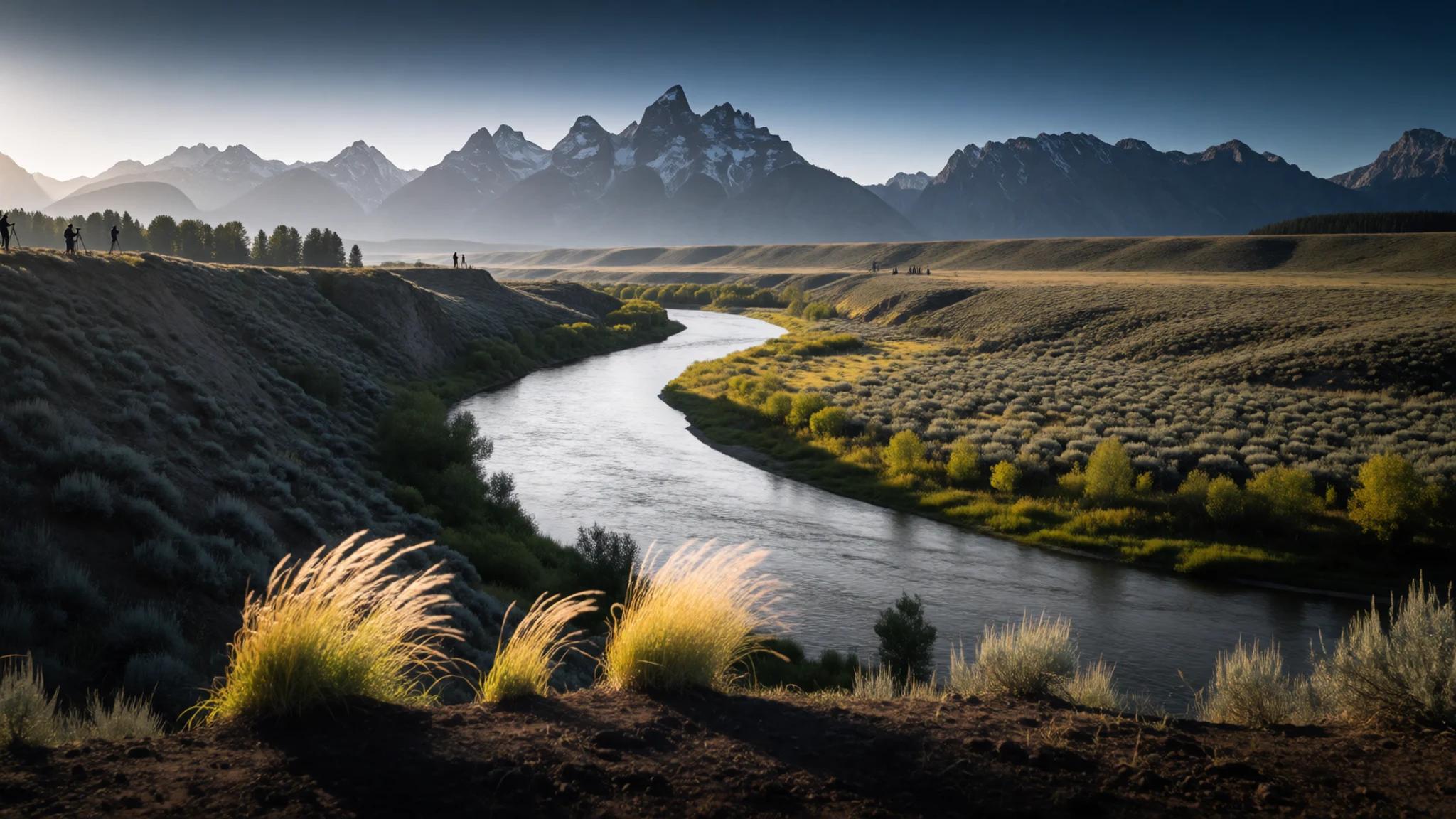
- Signal Mountain — Jackson Lake area, south-west of the lake
Signal Mountain rewards a short detour. A slim paved spur climbs to a small car park, and a brief stroll reaches the top. From there the view runs across Jackson Hole, with the Tetons on one side and the wider valley on the other. The road is narrow and busy in summer, so take care when pulling in and out.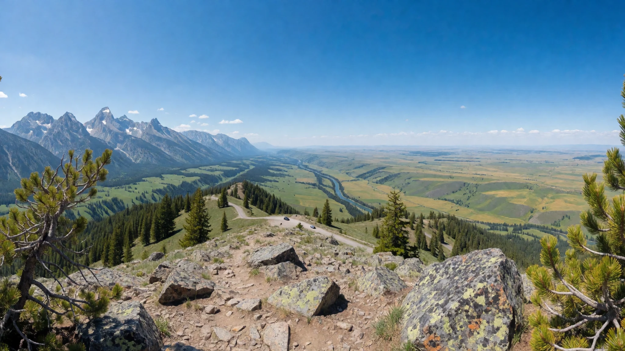
- Hidden Falls — Jenny Lake, Teton Park Road
Hidden Falls lies on a walk from Jenny Lake, and the route is about 2.5 miles to the falls one way. The falls can be combined with a boat ride back across the lake, which shortens the return. Boat fares change, so check the official site before you set out.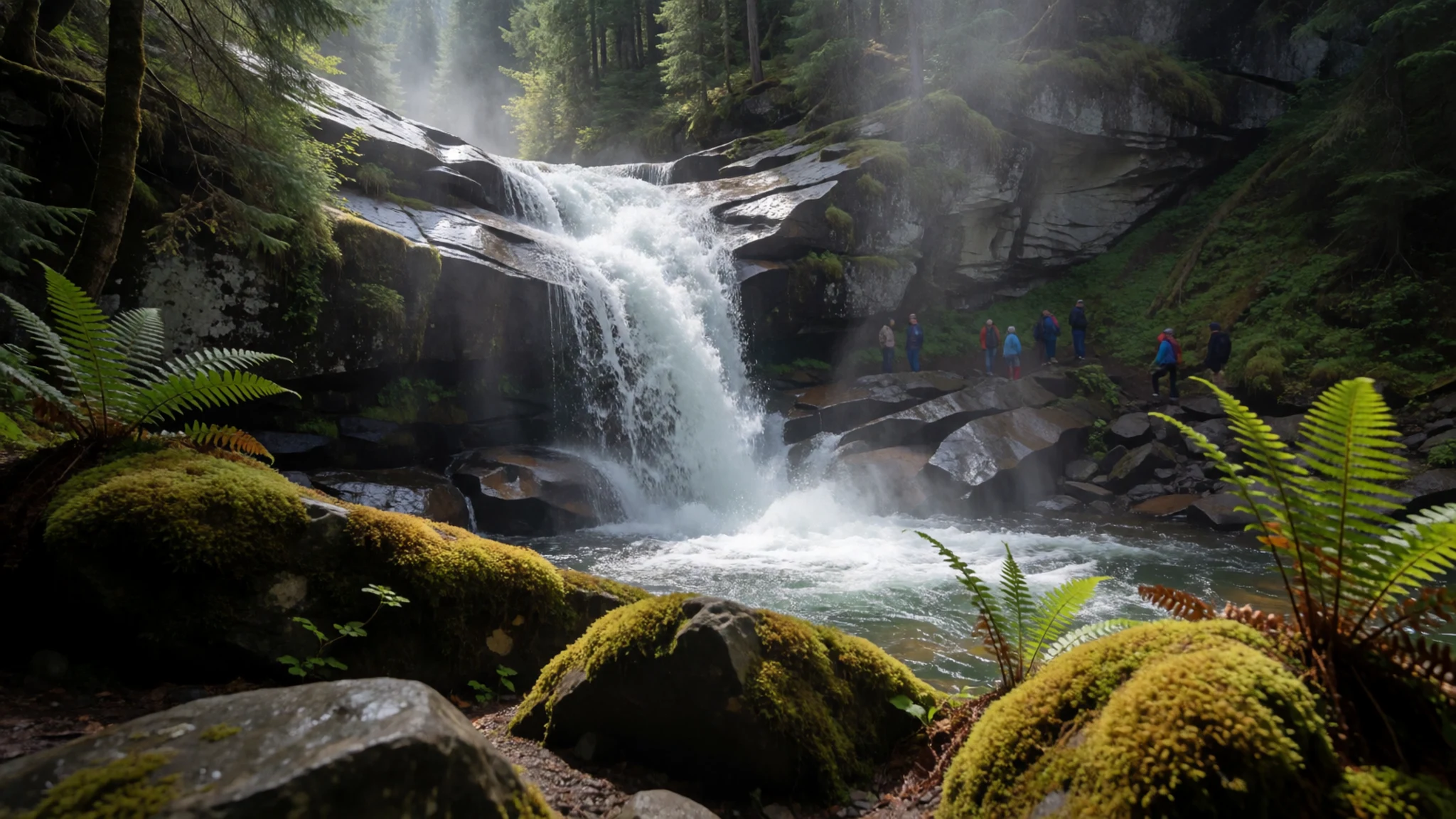
Culture
Grand Teton National Park is a place where the landscape and its human history are closely tied together. The Shoshone people knew this country long before the park existed, and their connection to the region is part of its story. Ranching families followed in the 1880s, and their buildings still stand on Mormon Row near the valley floor, a quiet reminder of homestead life. The park itself was shaped by local argument. Some residents resisted the land purchases that became the park, and the monument fight shows how contested the valley's future once was. Today the culture around the park blends ranching, guiding and outdoor recreation, and many people who live nearby take pride in the land they work and share. Small buildings such as the log Chapel of the Transfiguration near Moose Junction show how modest architecture and quiet worship sit comfortably within the park's landscape. Stay well back from elk, bison and bears, and use a telephoto lens rather than approaching for a closer picture.
What to wear
Grand Teton National Park sits within lands long used by the Shoshone, and their traditional clothing was made from what the country provided. Garments were made from tanned hide, often elk or deer, shaped into shirts, leggings and moccasins and decorated with beadwork and fringe. This clothing was worn for daily travel and for ceremony, and making it was skilled work. Today the look around the park is practical rather than ceremonial. Locals and workers wear fleece, insulated jackets, flannel and sturdy boots, and in the towns cowboy hats and boots are common.
Visitors should dress for a mountain climate, where a cold morning can give way to a warm afternoon. Bring layers that can be added or removed, a waterproof shell for sudden rain or storms, and a warm hat and gloves for the shoulder seasons. Sun protection matters at altitude, so pack a sun hat and sunglasses. Footwear matters most: choose boots or trail shoes with good grip for rocky paths, and leave flip-flops for the lodge. Modest dress is not required in the park, but at small chapels such as the Chapel of the Transfiguration, neat clothing is a courteous choice.
What to eat
- Hot and cold breakfast buffet — The Chuckwagon, a sit-down restaurant in the park
A hot and cold breakfast buffet at the Chuckwagon offers a substantial start before a day on the trails. It is a sit-down, dinner-style restaurant rather than a quick stop, so allow time. Drinks are usually charged separately from the buffet, and prices change, so check with the restaurant or the official site before you go.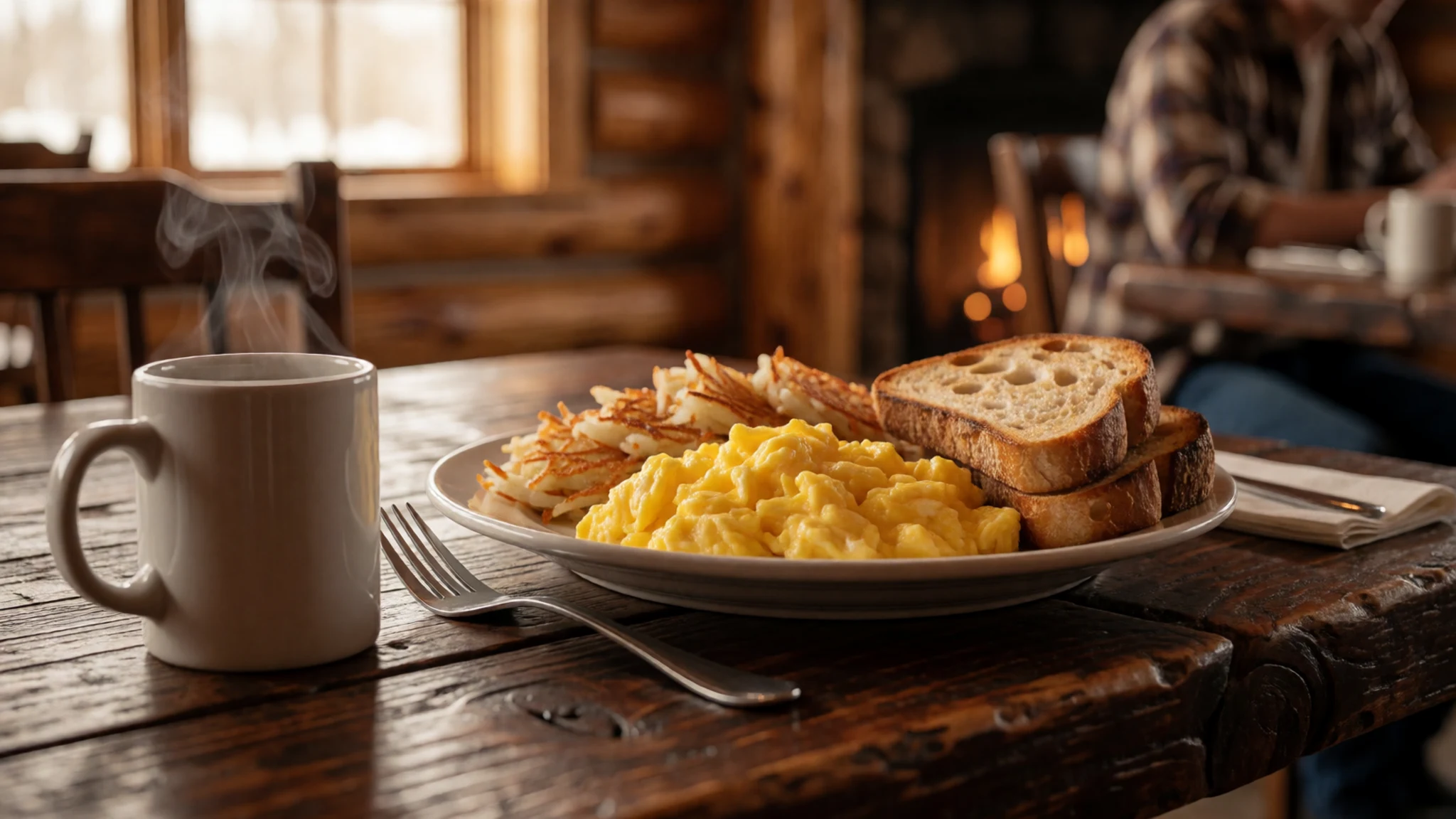
- Burritos and tacos — John Colter Cafe Court, a quick counter eatery in the park
Mexican-style burritos and tacos sit alongside American counter dishes at the John Colter Cafe Court. It is quick and reasonably priced, which makes it a practical lunch between hikes. Service is brisk, so it suits a busy day better than a long meal.
- Light counter meals and soda-fountain treats — Pioneer Grill, counter service in the park
Light counter meals, snacks and soda-fountain treats such as milkshakes are served through the day at the Pioneer Grill. It suits a quick breakfast, a late lunch or an evening snack. Opening times are set by the restaurant, so check the official site before you plan around them. - Trail picnic — Grocery and deli shops in Jackson
A packed lunch of bread, cheese, fruit and cured meat works well on the longer trails and at the lakeside. Buy it in Jackson, the nearest town with many places to stay, before heading into the park. The choice of shops inside the park may be narrower, so plan ahead.
Plan it
Best time. June to September gives the most open roads and trails, with July and August the busiest. Late spring and early autumn are quieter. The climate is semi-arid, with cold winters, and the northern route is closed from November to April because of snow.
How long. 2–3
Getting there. Jackson Hole Airport lies inside the park boundaries and is served by several airlines, some only seasonally. The nearest major airport is Salt Lake City, about six hours' drive away, and the last leg is usually by car.
Budget. mid
Tips
- Book lodging well ahead, since in-park lodges, guest ranches and campsites fill up in summer
- Start the popular viewpoints early, because traffic builds through the morning on the park road
- Pick up backcountry permits in person at a visitor centre or ranger station, as they go to the first people who ask
- Carry layers, water and sun protection, and shelter in a building if thunder starts
- Check road status before driving Teton Pass, where the grade and curves are demanding
Etiquette
- Keep well back from elk, bison, moose and bears, and never approach them for a photograph
- Carry out all litter and food scraps, since food left out harms wildlife
- Stay on marked trails and respect closures for nesting birds and wildlife areas
Nearby
Sources
- Wikidata Q222695 (CC0)
- Wikipedia, Grand Teton National Park (rev 1381616849) (CC BY-SA 4.0)
- Wikivoyage, Grand Teton National Park (rev 5236637) (CC BY-SA 4.0)
- Photo: The John Moulton Barn on Mormon Row (Jon Sullivan) (Public domain)
- Photo: Shoshoni tipis (W. H. Jackson) (Public domain)
- Photo: Teton Range from the west, 1872 (William Henry Jackson) (Public domain)
- Photo: Park Dedication in 1929 (NPS) (Public domain)
- Photo: Sunset over the Grand Tetons (Jrmichae) (CC BY-SA 4.0)
- Photo: Teton Fault scarp (Acroterion) (CC BY 3.0)
- Photo: Oxbow Bend outlook (Michael Gäbler) (CC BY 3.0)
- Photo: Middle Teton Glacier (NPS) (Public domain)


