Göygöl National Park
Göygöl National Park, Azerbaijan
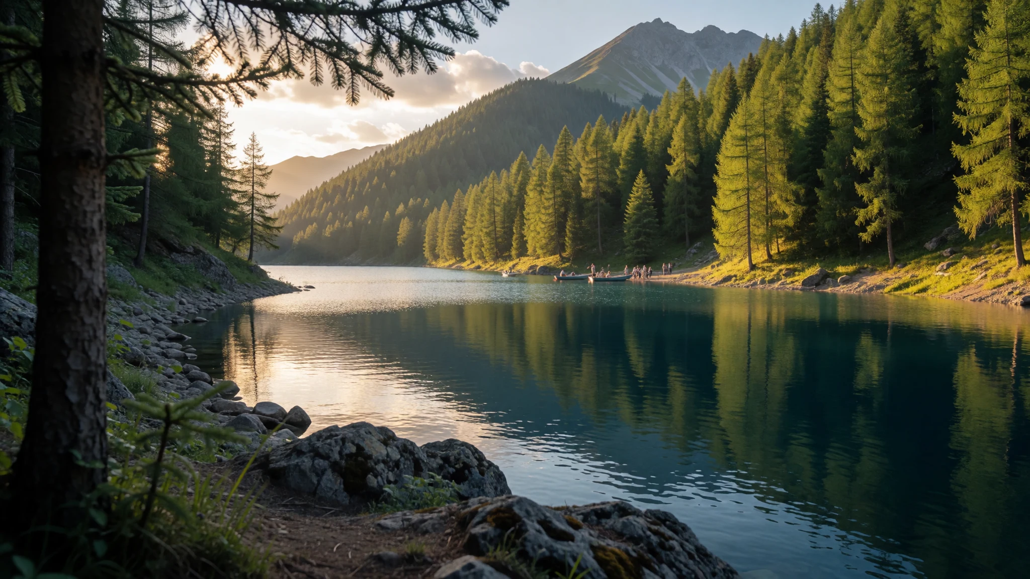
A blue mountain lake in the Lesser Caucasus, reached on easy forest trails, where Azerbaijani families and hikers share the shore from Ganja.
The place
Göygöl National Park lies on the northeastern flank of the Lesser Caucasus in western Azerbaijan, with its reference point at about 1,969 metres above sea level. The name is easy to unpick: göl means lake and göy means blue, so this is the blue-lake park. It protects roughly 12,755 hectares of forest, river gorge and subalpine slope, reached by a 20 km run up the road from Göygöl town, with the city of Ganja further out on the plain. The landscape is steep and wooded, with trees thinning to open grass and rock as the ground climbs, and the grey bulk of Mount Kapaz standing over everything. Several lakes are scattered through the valleys. Göygöl is the one that gives the park its name, but Maralgöl, a walk beyond it, is clearer and more turquoise, and it is the lake in most photographs captioned Göygöl. Wildlife includes Caucasian deer, bears, lynx, wild cat and sable, with Caspian snowcock and black vulture among the birds, though a day walker will mostly meet squirrels and hear birdsong. Crowds are real. This is a popular weekend outing from Ganja, and summer afternoons on the lake shore are busy. Accommodation near the water opens for only two or three months in summer, so the park feels very different in July and in late autumn, when services thin out. Park status dates from 2008, when it replaced an earlier state reserve.
Its story
Göygöl National Park owes its best-known feature to a falling mountain. In the usual account, an earthquake on 30 September 1139 broke away part of Mount Kapaz and the rubble blocked the gorge of the Akhsu river, so water gathered behind the barrier and a lake appeared. Some researchers argue for an older origin and point to small ice-cut hollows near the upper Shamkirchay as evidence of glaciers; the two ideas are not strictly exclusive, since a basin shaped by ice could later have been closed off by rockfall. Formal protection came much later. A state reserve was created here in 1925 to look after the subalpine forests and lakes on the northern slope of the Lesser Caucasus. During the Soviet period the reserve lost its status for a time, and it was restored afterwards. In 2008 the reserve became a national park, and its area grew from 6,739 hectares to 12,755, which is where it stands today. The frontier region nearby has a recent history of its own: the park was closed to the public for a period because of its closeness to Nagorno-Karabakh, and it has since reopened to visitors. Local advice in Ganja on current conditions is still sensible before setting out. The result is a place with two stories laid on each other, a geological one measured in earthquakes and ice, and a modern one of reserves, boundaries and reopening, and walkers on the lake path are moving through both.
What to see
- Maralgöl — Inside the park, beyond Göygöl lake
Maralgöl is the turquoise lake beyond the main one, and most photographs captioned Göygöl are really of it. The water is clear, the slopes behind are wooded, and bear prints have been reported nearby, so walkers do well to make a little noise. It is reached on the Göygöl–Maralgöl trail, an easy 14 km route of about 4 hours one way.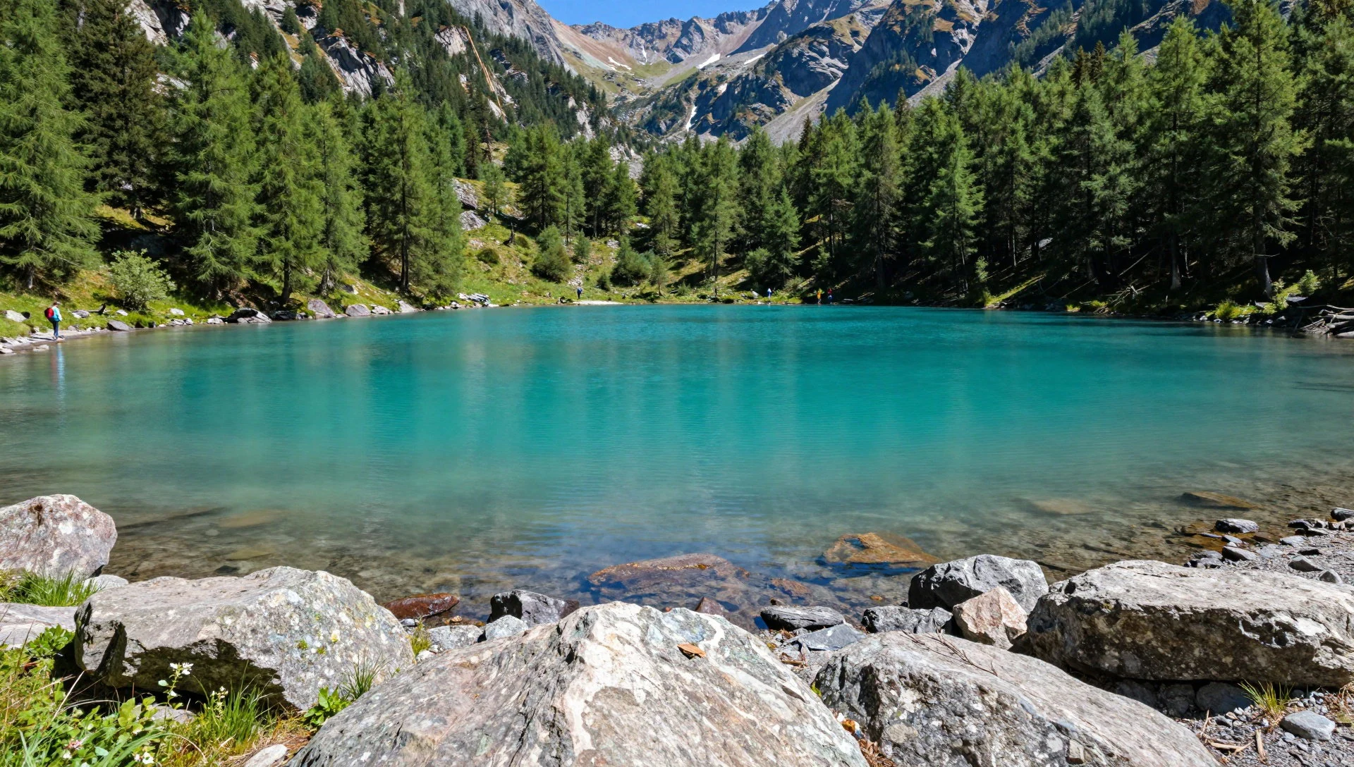
- Göygöl lake — Near the hotel area and bus stop
Göygöl lake is the park's namesake, a blue body of water held back by the landslide that, in the usual account, dammed the valley. It lies close to the hotel area and the summer bus stop, so it draws the crowds. Walk along the shore early or late for some quiet, and look up at the forested slopes around it.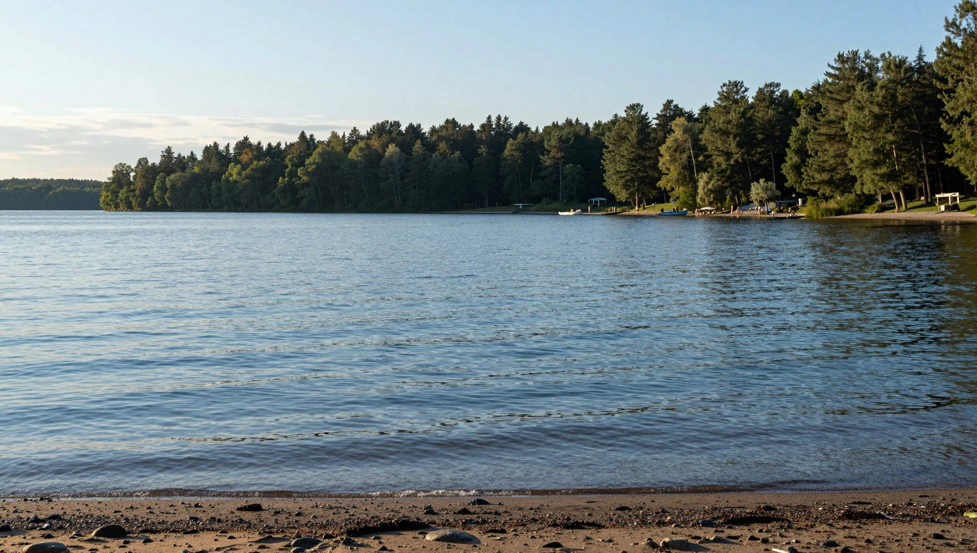
- Mount Kapaz (Kəpəz dağı) — Ridge above the lakes
Mount Kapaz (Kəpəz dağı) is the rocky summit above the lakes, and its trail is graded hard: 15 km, about 5 hours one way, on open ground where trees thin out. Walkers sometimes join it with the Maralgöl trail into a loop along the ridge. Carry water and go only in settled weather.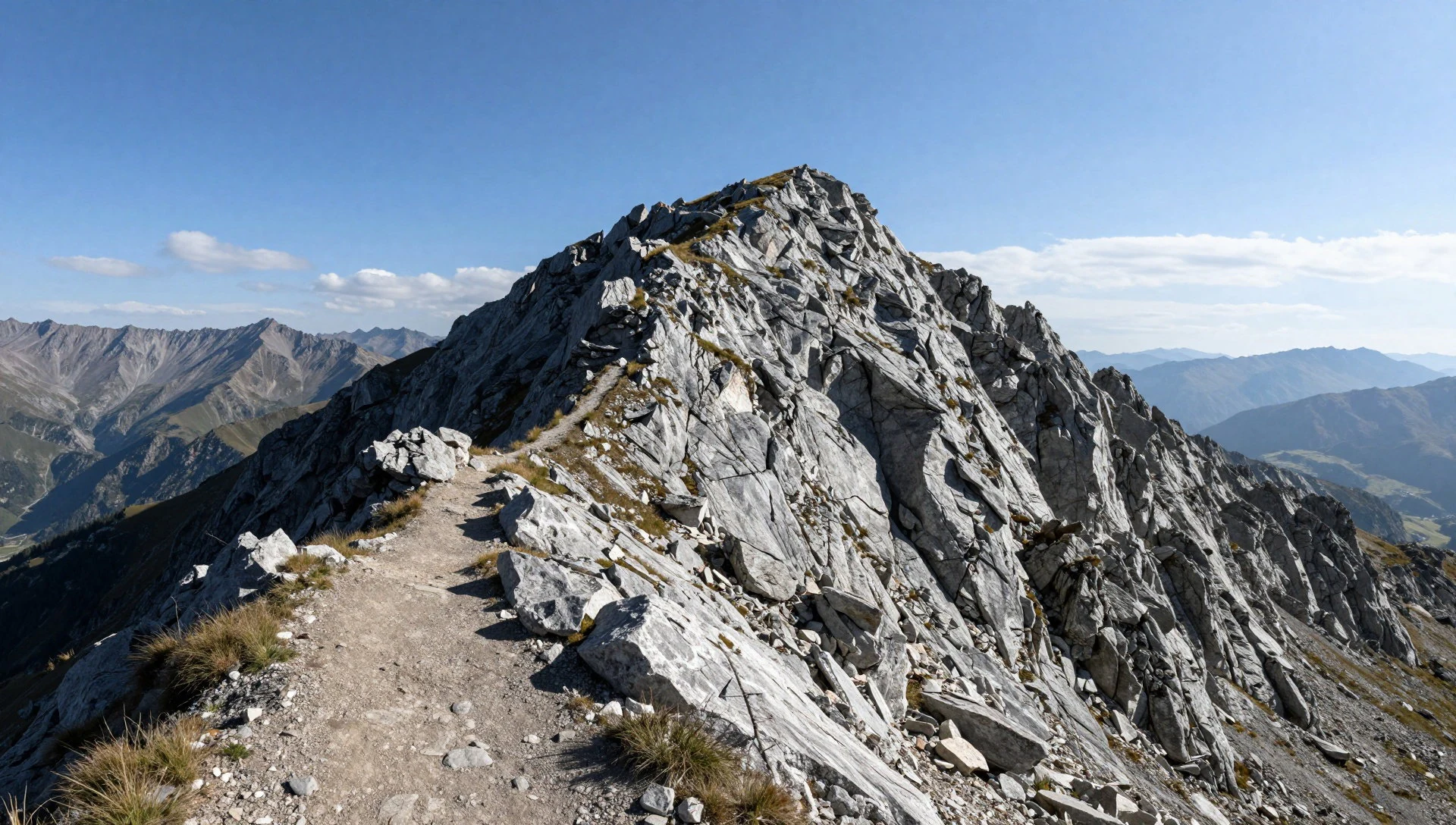
- Qaragöl — Trail from the park administration building
Qaragöl is the short option: a 3 km trail graded medium, steep enough to be work but quick enough for a half day. Comfortable walking shoes and drinking water are the only kit the official guidance asks for. It suits a visitor who wants a quieter lake than the main shore without committing to the long routes.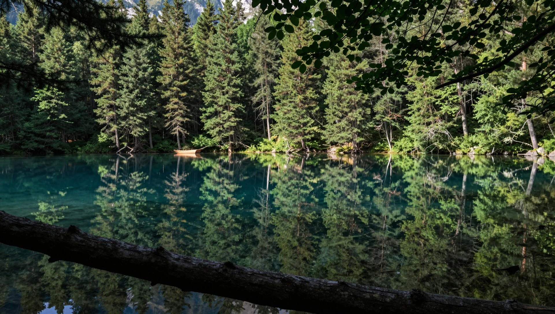
- Zəligöl–Gəlinqayası route — Deeper valleys of the park
The Zəligöl–Gəlinqayası route is the park's long outing: 23 km, graded hard, and 7 to 8 hours one way, which in practice means an overnight plan with camping. Walkers carry a cooking pot as well as water. It suits experienced hikers; for everyone else, one of the shorter trails is the sensible choice.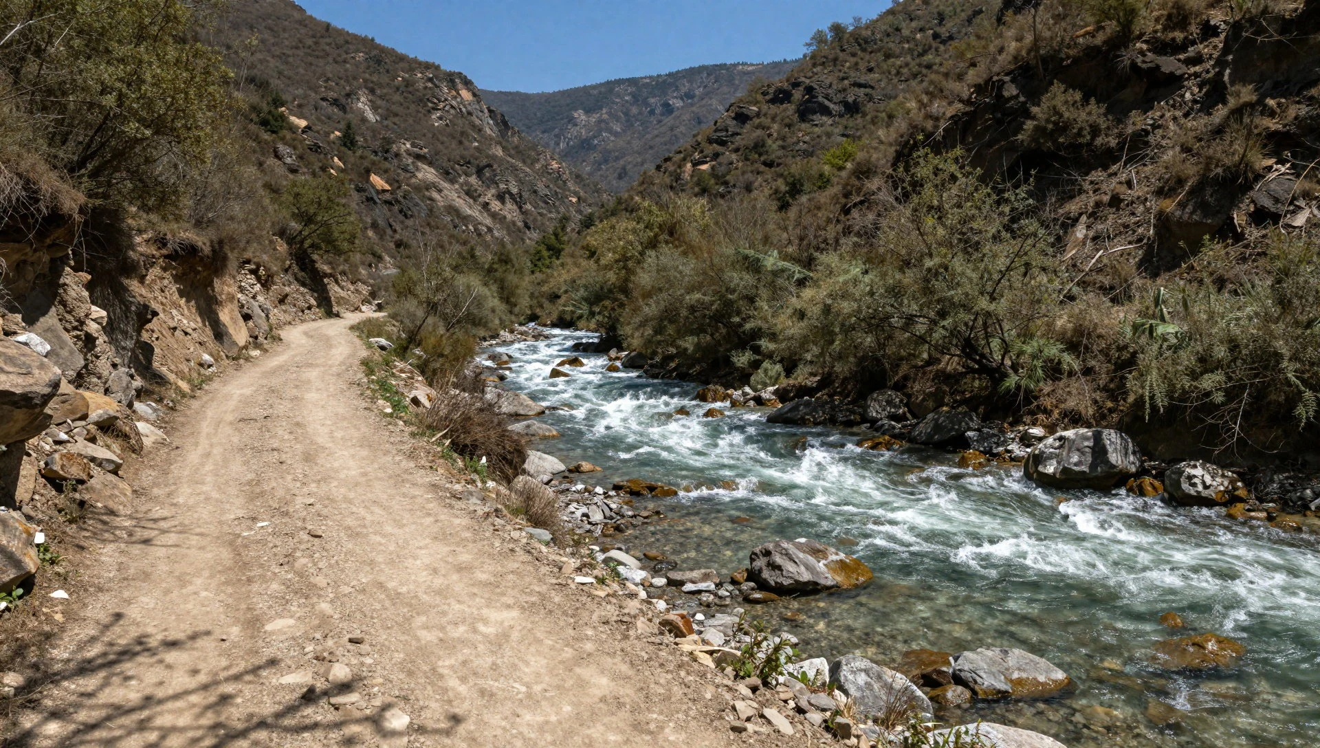
Culture
Göygöl National Park is a place Azerbaijanis visit for the day more than a destination that foreign travellers plan around, and its culture is largely that of the weekend outing. Families and friends from Ganja and the surrounding towns drive up for fresh air, walk the lake shore and picnic with flasks of tea. Black tea in small waisted glasses, often with jam or sweets alongside, is the default of Azerbaijani hospitality, and a hot glass is often offered more readily than directions. Beyond the lake, mountain life is pastoral. In summer shepherds bring flocks to the high grass and camp with large guard dogs, so a hiker passing through is walking across somebody's working land. The park is also a point of local pride. It grew from a protected reserve of 1925, and the lake appears on postcards, school trips and family photographs across the region. Azerbaijani is the everyday language, Russian is still widely understood, and some English can be found in the hotel area; a few words of greeting go a long way, and an offer of tea or fruit is a courtesy better accepted than refused. Visitors should keep to marked paths, carry all rubbish out, and give shepherds' camps and their dogs a wide berth, asking the shepherd before crossing a flock.
What to wear
Göygöl National Park sits in a region where traditional dress survives mostly at weddings, folk festivals and on stage. Men's formal costume centres on the chokha, a fitted wool coat with a row of cartridge pockets across the chest, worn over a long under-coat and topped with a tall papakh hat of sheepskin or wool. Women's dress uses silk, velvet and brocade, with embroidered bodices, long skirts and a light silk headscarf, often finished with metallic thread. Wool and felt remain everyday materials for shepherds in the high pastures, who wear heavy cloaks and felt hats against the wind. What people wear now is ordinary: jeans, trainers, fleeces and padded jackets on the lake paths, and smarter, more covered clothes in Ganja's streets and on market days. Visitors need to think about weather and terrain first. Mountain weather turns quickly even in summer, so layers, a waterproof shell and a sun hat all earn their place. Sturdy walking shoes with grip suit the trails, which cross stony ground and wet slopes, and flat canvas trainers are a poor choice for the long routes. Shorts are fine on the path, but in towns and near any mosque shoulders and knees should be covered, and women may want a light scarf to hand.
What to eat
- Qutab — Small eateries in Göygöl town and Ganja
Qutab is a thin flatbread folded over a filling of minced lamb, herbs or pumpkin, then cooked on a dry griddle and brushed with butter. It makes an easy trail snack, and is sold hot at small eateries in Göygöl town and Ganja.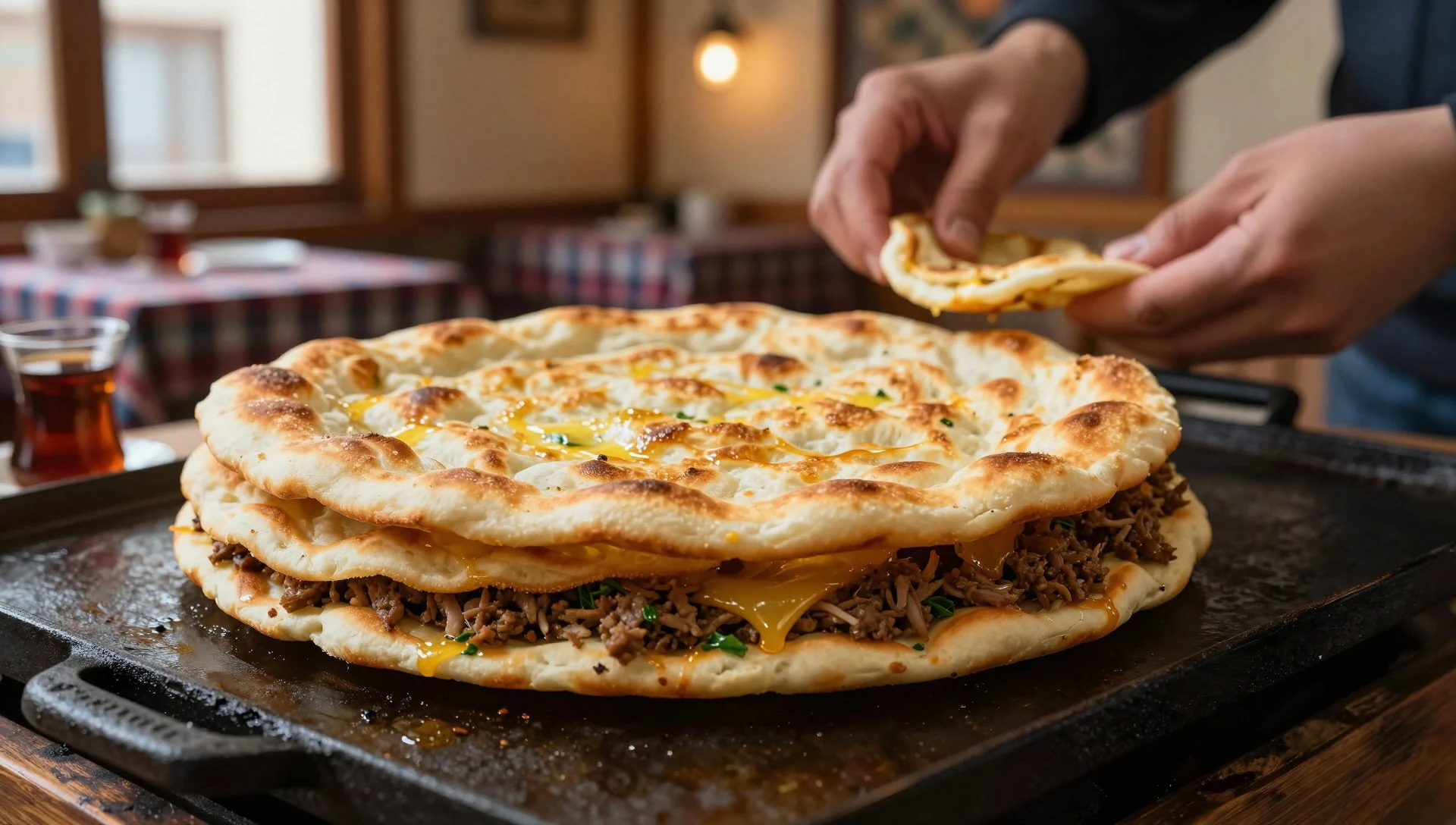
- Dolma — Family-run restaurants in Göygöl town and around Ganja's bazaar
Dolma is vine leaves, or in colder months cabbage leaves, wrapped around minced lamb, rice and herbs and simmered until soft, usually served with a spoon of yoghurt or garlic sauce. Look for it at family-run restaurants in Göygöl town and the Ganja bazaar area.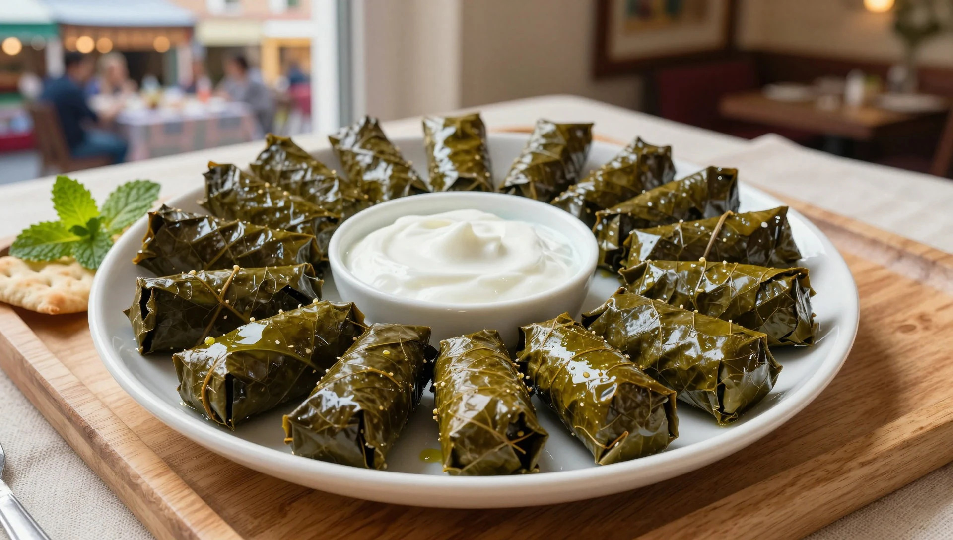
- Plov — Sit-down restaurants in Göygöl town and Ganja
Plov is the celebratory rice dish of Azerbaijan: long-grain rice steamed separately from its toppings, which might be lamb, chestnuts, dried fruit or a saffron-yellow crust. It is a sit-down meal rather than a snack; ask at restaurants in Göygöl town and Ganja. - Mangal kebab — Grill restaurants in Göygöl town and summer eateries by the lake
Mangal kebab is lamb or chicken grilled over charcoal on skewers and served with flatbread, raw onion and sumac. Grill restaurants in Göygöl town, and the summer eateries by the hotel area, serve it, and it suits a group meal after a long walk. - Çay with mürəbbə — Any tea room, eatery or home
Black tea in small glasses comes with sugar cubes and fruit preserves such as cherry, quince or walnut. It is the standard welcome in any home or eatery, and a warm pot is welcome after the cooler air at the lakes. Ask at any tea room or restaurant.
Plan it
Best time. Summer, when the lodging by the lake is open (it runs for only two or three months) and buses run up to the lake. Autumn can be colourful in the forest, but services thin out and the upper trails turn cold.
How long. 1–2
Getting there. Ganja is the nearest city, reached by air, rail or road from the rest of Azerbaijan. From there take a local bus or taxi to Göygöl town, then a shared taxi for the 20 km up to the park; in summer there are regular buses up to the lake and the hotel area.
Budget. low
Tips
- Weekdays in summer are calmer; weekends bring day-trippers from Ganja.
- Accommodation by the lake is open only two or three months a year, so book ahead or base yourself in Göygöl town or Ganja.
- Ask the taxi driver to go as far as the bus stop or hotel area; it saves one to one and a half hours on the Maralgöl trail.
- All official trails start at the park administration building, so carry drinking water and snacks from there.
- Check current conditions with locals in Ganja before heading up, since the area near a frontier was once closed to visitors.
Etiquette
- Keep well away from sheep herds and camps; the guard dogs can be aggressive, and shepherds should be asked before you cross a flock.
- Take all litter out with you.
- Ask before photographing people, especially shepherds and families on picnics.
Nearby
Sources
- Wikidata Q593274 (CC0)
- Wikipedia: Göygöl National Park (rev 1372295268) (CC BY-SA 4.0)
- Wikivoyage: Göygöl National Park (rev 5272419) (CC BY-SA 4.0)
- Photo: Озеро Гейгел (Дарт Реван) (Public domain)
- Photo: Goygol golu (Anarzey) (CC BY-SA 4.0)
- Photo: (M) Atlar, Goygol MP 034 (Naturefriends) (CC BY-SA 4.0)
- Photo: (L) Atlar, Goygol 0934 (Naturefriends) (CC BY-SA 4.0)
- Photo: (L) Atlar, Goygol 0984 (Naturefriends) (CC BY-SA 4.0)
- Photo: (L) Goygol MP 012 (Naturefriends) (CC BY-SA 4.0)
- Photo: Göygöl Lake (Mistelblume) (CC BY-SA 4.0)
- Photo: Göygöl Milli Park bei Ganja (Mistelblume) (CC BY-SA 4.0)


