Fulufjället National Park
Fulufjället National Park, Sweden
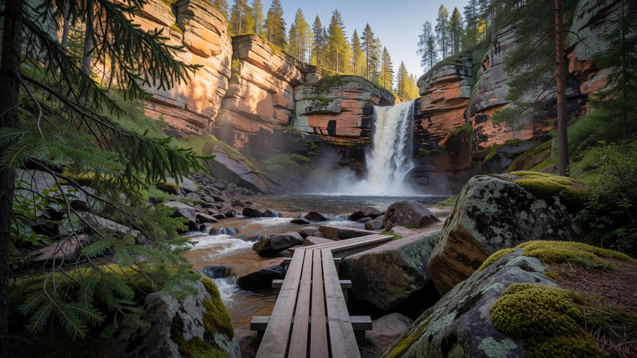
Fulufjället National Park gives southern Sweden a bare mountain plateau, old forest and a 93 m waterfall, all reached on foot from one car park.
The place
Fulufjället National Park sits in Dalarna, in central Sweden, about 25 km south-west of the small town of Särna. It protects the Swedish side of a high plateau whose top reaches 1,044 m, and its 385 km² all lie inside Älvdalen Municipality. Across the border, Norway protects its own share of the same massif as a separate park. This is the southernmost mountain terrain of the Scandes in Sweden, which makes it the mountain park nearest to most Swedes. The summit area is open and bare, a patchwork of lichen, grass and low brush. Reindeer have never grazed this ground, which gives the heaths a character found nowhere else in the Scandinavian mountains. Rivers have cut deep valleys into the plateau, and in those clefts dense old-growth forest has survived. Their water feeds the Dalälven, one of the big rivers of the region. Brown bear and Eurasian lynx live here, though sightings are rare and nobody should plan a day around one. Birdwatchers come for the Siberian jay, a bold, sociable bird that is the park's emblem and happily inspects any picnic. Most visitors head for Njupeskär, a waterfall with a total drop of 93 m, of which 70 m is free fall. The main entrance, car park and visitor centre sit close to it, and about 140 km of marked trails fan out from there. The park was created in 2002.
Its story
Fulufjället's human story is written lightly. Once the ice withdrew from the mountain, Stone Age hunter-gatherers moved through, leaving little more than a few relics, among them a stone axe found near the river Fulan. They kept no fixed settlement, and that pattern held until the Iron Age. The best-known traces from that era are four burial cairns on the north-eastern plateau, about 2 km south-east of Njupeskär. No others are recorded anywhere in the province, and the graves held arrowheads and spears. Nearby is the Altarringen, an oval stone wall about 5 m across with an altar at its centre; repeated restoration makes it hard to date. The Swedish side has been studied far less than the Norwegian one, so much remains uncertain. Permanent farms probably reached the valleys of the massif before the year 1000, as settlers spread out from areas around Mora. Särna, Heden and Idre likely grew up around the hunting of wild reindeer, whose products were traded across Europe. A modern chapter began in 1997, when a great storm flattened forest near the waterfall, and the damage can still be seen. In September 2002 King Carl XVI Gustaf opened the park before a crowd of a few thousand, and it became an early member of the PAN Parks network, which set out to pair conservation with tourism.
What to see
- Njupeskär waterfall — North of the main car park
Njupeskär is the reason most people come. The water falls 93 m in total, 70 m of it free, into a rocky gorge that stays cool even in midsummer. A well-used trail from the main car park leads to the viewpoint. In deep winter the fall freezes into a pale column of ice.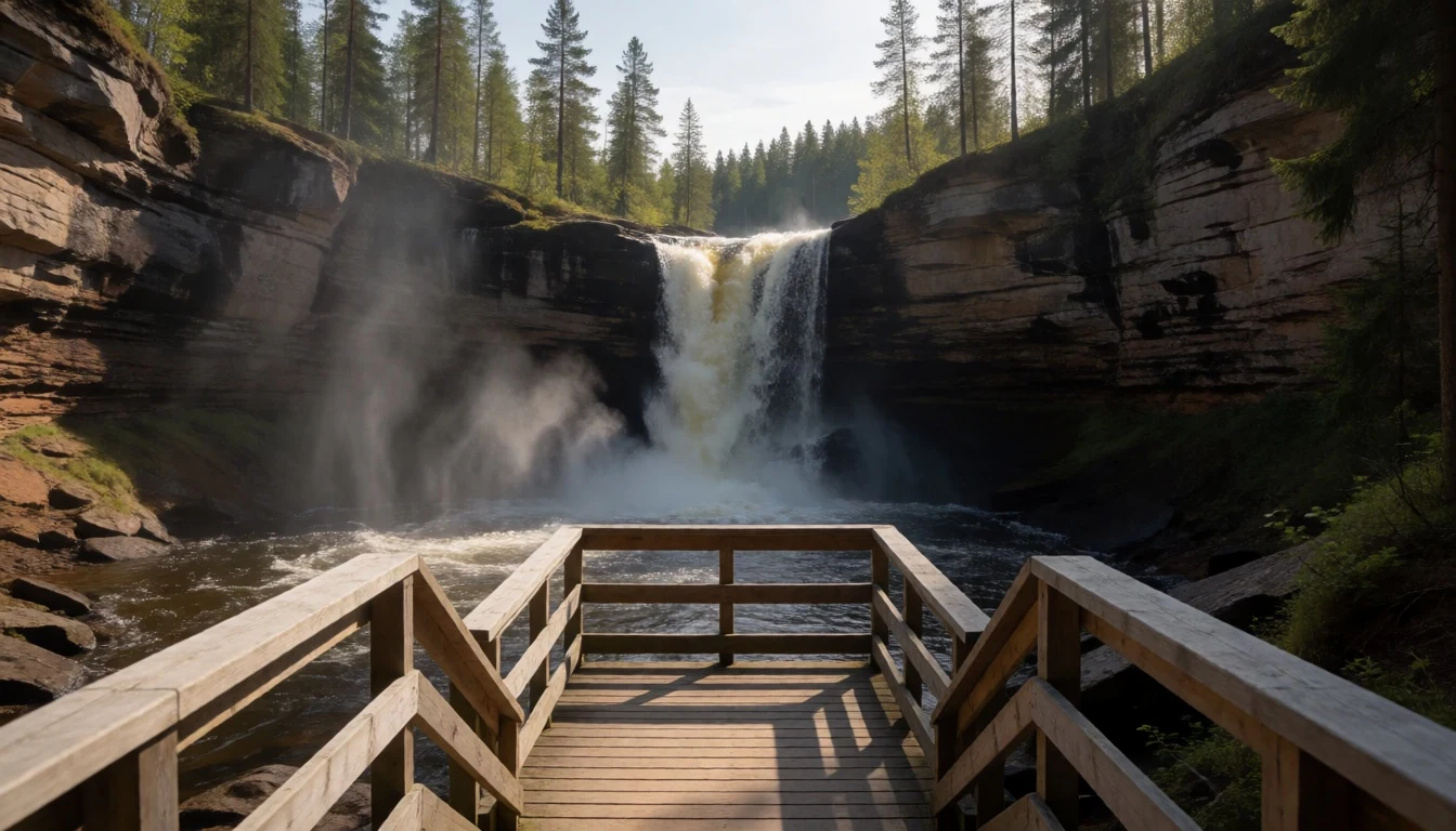
- The high plateau — Plateau above the valleys
Above the valleys the plateau tops out at 1,044 m and feels almost Arctic for southern Sweden. Lichen, grass and low shrubs cover wide, windy ground, and on a clear day the views run for kilometres. There is little shelter, so weather can turn quickly; carry layers even on a short walk.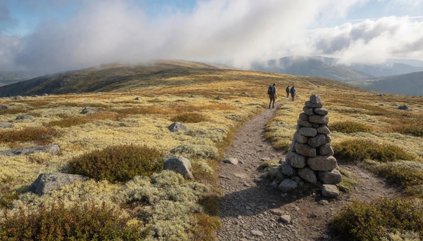
- Old-growth valley forest — River valleys
The river valleys cut into the plateau hold dense old-growth forest, with fallen trunks rotting slowly under thick moss. The lower trails feel very different from the open top: quieter, damper and darker. Listen here for the Siberian jay, and look for signs of lynx and bear, which leave tracks more often than they show themselves.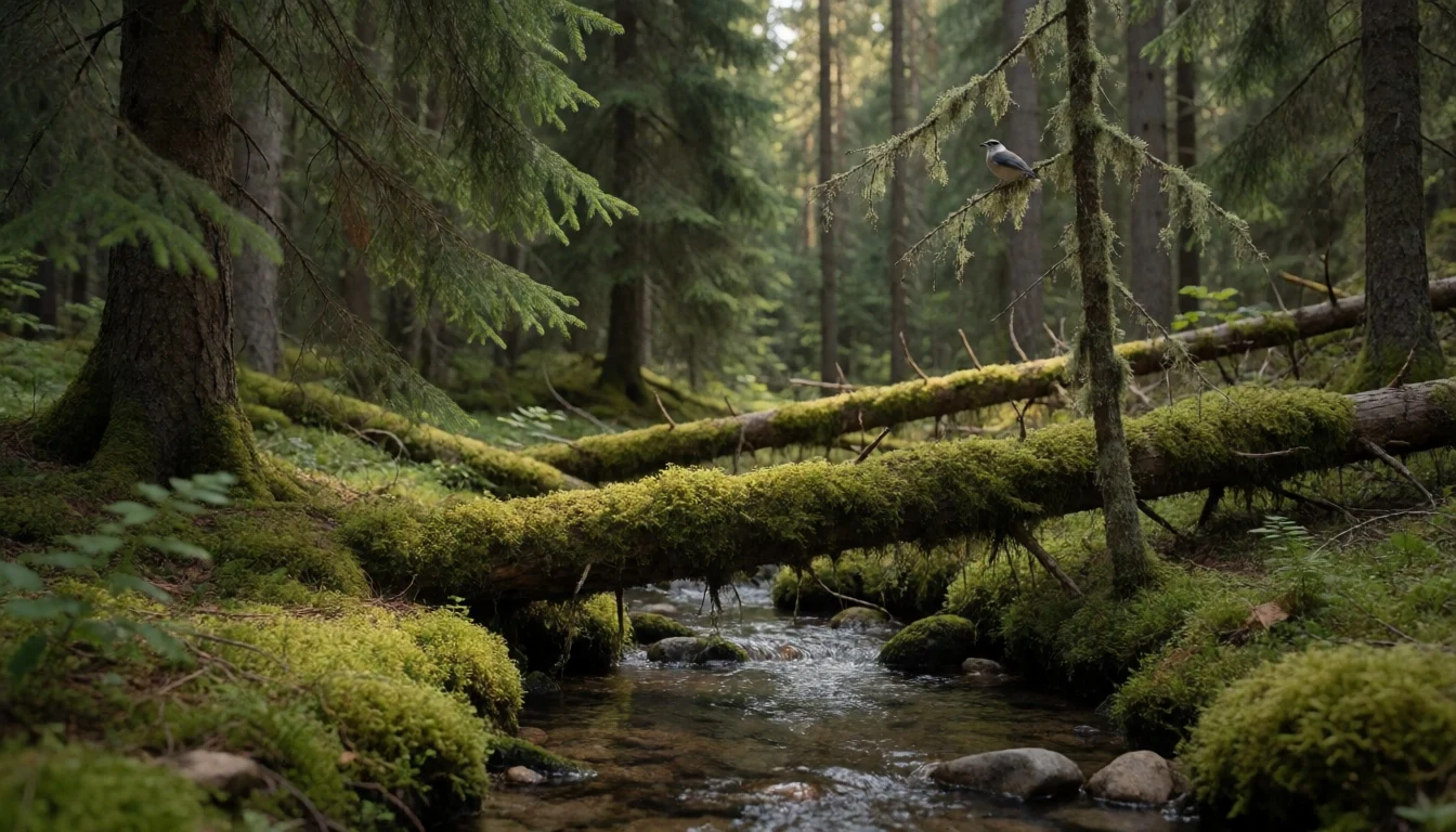
- The 1997 storm damage — Near Njupeskär
Close to the waterfall, a stretch of forest still bears the scars of the great storm of 1997. Trunks lie in tangled heaps where the wind brought them down, and new growth is filling in around them. It is a clear lesson in how woodland recovers, and it sits right beside the main path.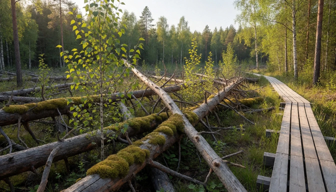
- The visitor centre (naturum) — Main entrance
The visitor centre by the main entrance has displays on the park's wildlife and landscape, and guided tours leave from here. It is worth ten minutes before setting off, if only to ask staff about trail conditions and the weather. Many of the marked trails begin at the same spot.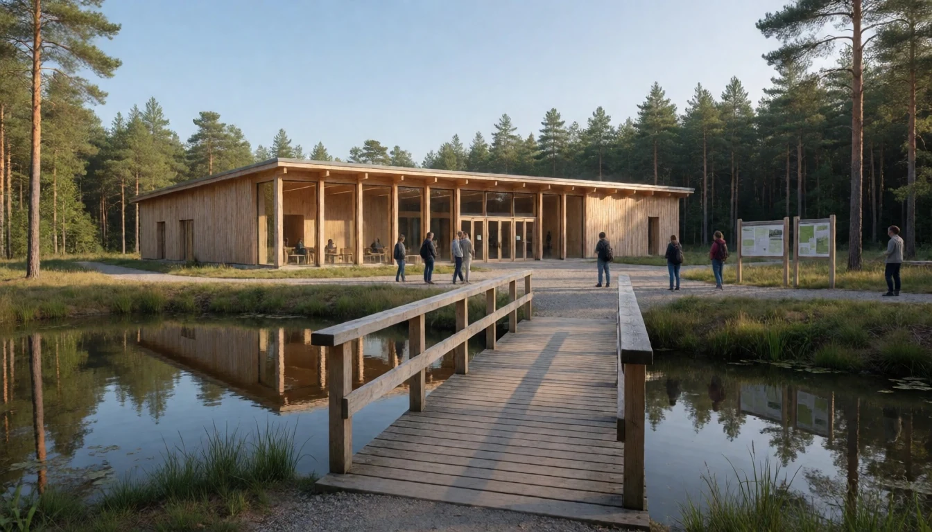
- Iron Age cairns and the Altarringen — North-eastern plateau
Away from the waterfall crowds, the north-eastern plateau holds four Iron Age burial cairns and a ring of stones called the Altarringen. They are low, modest and easy to walk past, so ask at the visitor centre for directions. Treat them as graves and old ritual sites, not as picnic spots.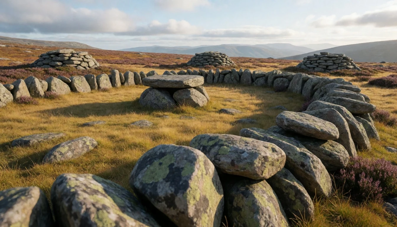
Culture
Fulufjället National Park belongs to Dalarna, a province that many Swedes regard as the heartland of their folk traditions, with painted wooden Dala horses, midsummer celebrations and fiddle music. The mountains themselves have a quieter culture. For generations, people from villages such as Särna, Heden and Idre hunted wild reindeer and traded the products far afield, and the forest still supplies game, berries and mushrooms to local tables. Sweden's tradition of public access lets people walk and pick berries on most open land, but a national park adds its own rules, which are set out on signs and on the park website. The park was created in 2002 and is run with visitors in mind: marked trails and a visitor centre guide walkers along set routes so that the fragile lichen heath is not trampled. Local people tend to be reserved and direct, and a friendly nod on the trail is the usual greeting. Summer brings Swedish and German families in particular, while winter draws a smaller crowd of skiers and snowshoers. Dry spells raise the risk of forest fire, and rangers set the rules on the day. Stay on the marked paths across the lichen heath, carry out all your rubbish, and light a fire only where the park signs say it is allowed.
What to wear
Fulufjället National Park has no dress code of its own, so the traditional reference point is Dalarna's folk costume, the folkdräkt. It varies from parish to parish, but women's versions usually combine a wool skirt, a bodice, an apron and a white linen blouse, often with a cap or kerchief, in colours that differ by village. Men wear knee breeches, waistcoats and wool jackets. Wool and linen are the traditional textiles, often woven and embroidered at home. These outfits appear at midsummer, weddings, church festivals and folk music gatherings, not on the trails. Day to day, people in the area dress for the weather: waterproof shell jackets, wool or fleece mid-layers and sturdy boots, and hiking clothes pass without comment in a village shop or café. For a visit, bring layers. The plateau is exposed and can feel cold even in summer, while sheltered valleys can be warm and buggy, so a light long-sleeved top and insect repellent help. Waterproof boots with good grip suit the wet rock near the waterfall and boggy ground elsewhere. Add a hat and gloves outside midsummer, and insulated boots and thermal layers in winter. No site here asks for covered shoulders or knees, so modesty norms are relaxed.
What to eat
- Falukorv — Grill kiosks and family restaurants in Dalarna towns
A large, mild sausage from Falun, the main town of the province. It is usually fried in thick slices or baked, and served with mashed potato or mustard. Look for it at grill kiosks and family restaurants in Dalarna towns.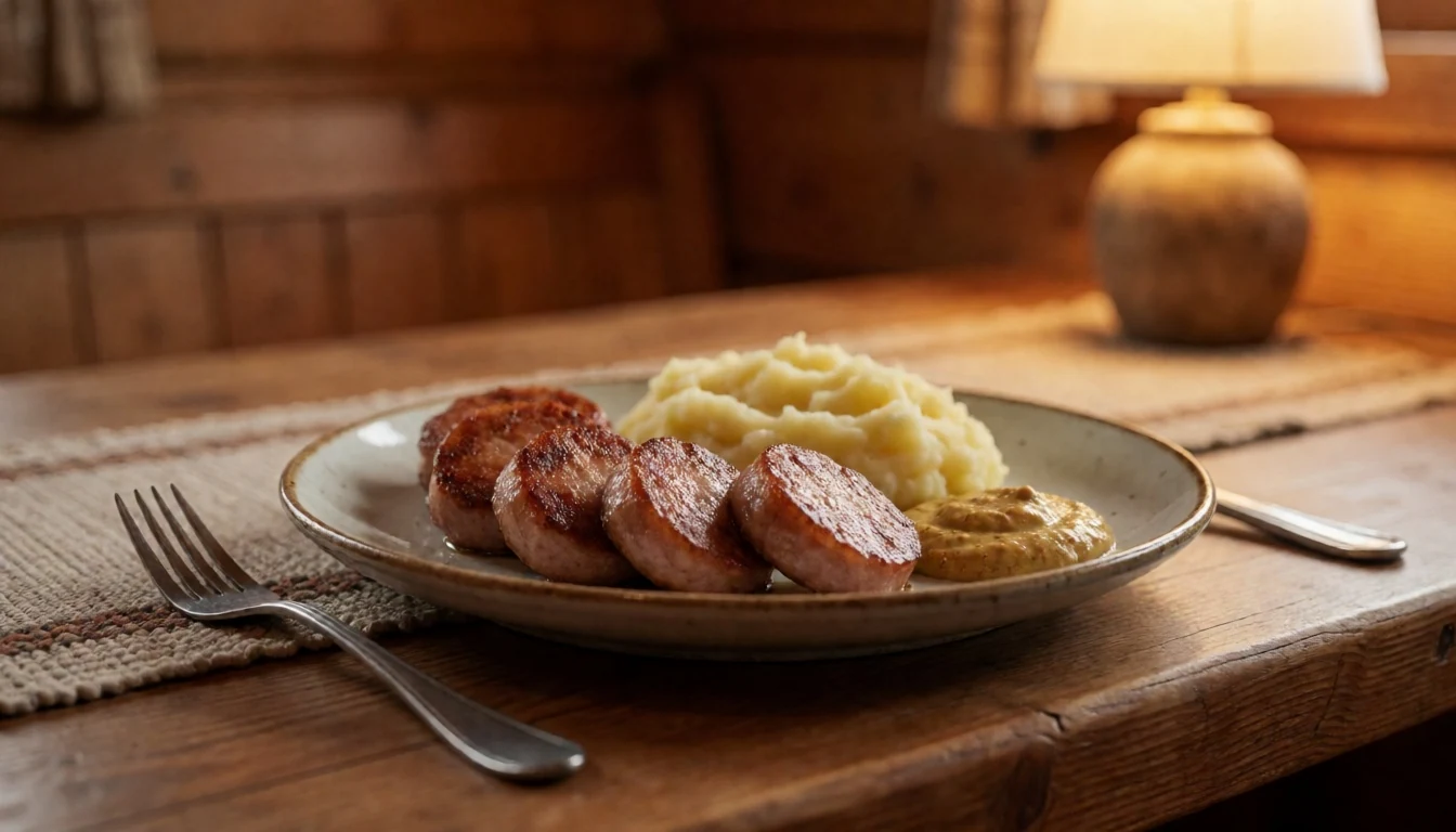
- Knäckebröd — Village supermarkets and bakeries
Hard, crisp rye bread baked around Dalarna and central to Swedish cooking. It is plain by itself but good with cheese, butter or pickled fish, and it travels well in a rucksack. Buy a packet at any local supermarket for the trail.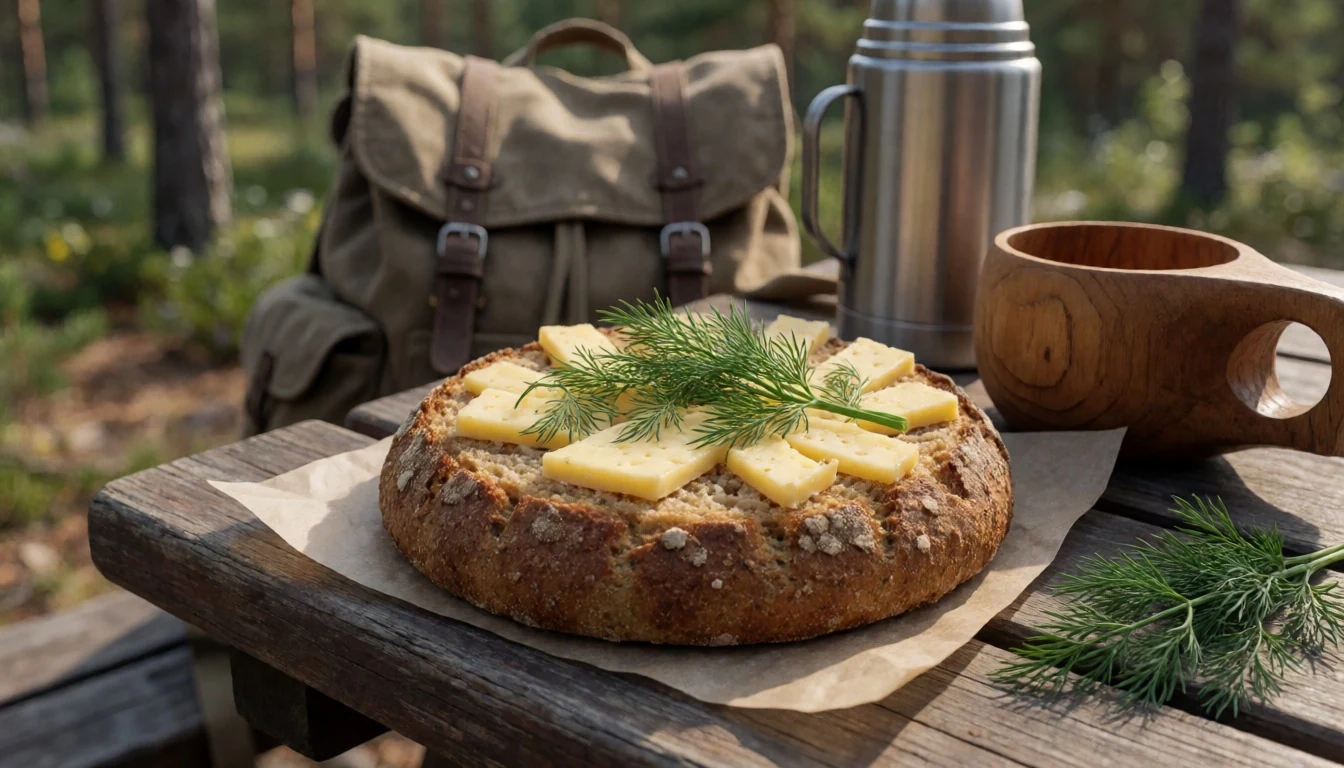
- Wild berries — Forest edges in late summer; village cafés
The forests supply bilberries and lingonberries, and foraging is a common summer habit. Lingonberries come as jam with meat dishes, while bilberries go into pies and porridge. Ripe berries are a late-summer treat, and local cafés often bake with them. - Game stew — Restaurants in Särna and Idre
Elk and reindeer feature on menus around Särna and Idre, often slow-cooked with juniper, cream and lingonberry. The dish reflects the old hunting economy of the valleys. Ask about game of the day at restaurants in the nearby villages. - Fika with a cinnamon bun — Village cafés near the park
The Swedish coffee break is close to a ritual, and a kanelbulle, a soft cinnamon bun, is the usual partner. After a cold walk on the plateau, it is the sensible reward. Cafés in the nearby villages and the visitor centre area serve it.
Plan it
Best time. June to September for walking, when trails are clear and the days are long. July and August are busiest, since most visits fall in summer; early autumn is quieter. Winter brings snow, a frozen waterfall, short days and serious cold.
How long. 2–3
Getting there. Fly to Mora airport, which has daily flights from Stockholm, or take a train (SJ or Tåg i Bergslagen) to the nearest mainline station. The last leg is by road towards Särna, and a car is much the easiest way to reach the park's main entrance. Check Resrobot for public transport options, and the official site, http://www.sverigesnationalparker.se/park/fulufjallets-nationalpark/, for current access.
Budget. mid
Tips
- Start at the visitor centre to check trail and weather conditions before heading up
- Go early in the day in July and August, when the path to the waterfall is busiest
- Carry layers and waterproofs even on a sunny day, because the plateau is exposed
- Bring insect repellent in summer and a water bottle; fill up at the visitor centre
- Check the official site for opening times, guided tours and any fire restrictions
Etiquette
- Stay on marked trails across the lichen heath
- Take all rubbish home and light fires only where signs allow
- Keep your distance from wildlife and keep dogs under control
Nearby
Sources
- Wikidata Q761264 (CC0)
- Wikipedia: Fulufjället National Park (rev 1360907179) (CC BY-SA 4.0)
- Wikivoyage: Dalarna (rev 5083562) (CC BY-SA 4.0)
- Photo: Njupeskär Fulufjället (m.prinke) (CC BY-SA 2.0)
- Photo: Fulufjället 1 (Kai Pauldrach) (CC BY 3.0)
- Photo: Göljån forest (Curt Fredén, SGU) (CC BY 2.5)
- Photo: Fulufjället national park brook (m.prinke) (CC BY-SA 2.0)
- Photo: Fulufjället 11 (Kai Pauldrach) (CC BY 3.0)
- Photo: Roros02 (Vberger) (Public domain)
- Photo: Naturum Fulufjället (m.prinke) (CC BY-SA 2.0)
- Photo: Njupeskar in winter (Montebianco) (CC BY 3.0)


