Fort Duvernette
Fort Duvernette, Saint Vincent and the Grenadines
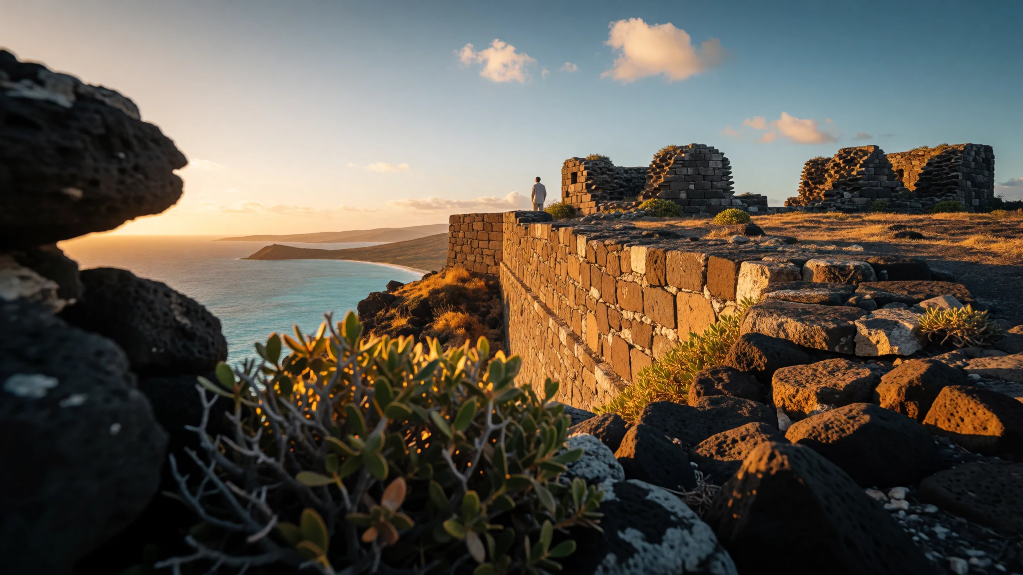
Fort Duvernette turns a short hike into a coastline-and-history viewpoint, with basalt cliffs, sea views and the feel of an old garrison.
The place
Fort Duvernette—also called Rock Fort—is a ruined fortification on Saint Vincent and the Grenadines, perched above Young Island. What remains today sits on top of a volcanic basalt plug that rises 190 feet (58 m) from the sea, so even when the fort itself looks weathered and broken, the setting does the heavy lifting.
In British colonial times the site mattered for defence, with two batteries manned by British Marines. The fort’s story isn’t just about stone and strategy: it’s tied to local conflict in the late 1700s, when the garrison played a role in protecting survivors of a Carib attack on a British convoy during the Second Carib War era. Military use ended later, but the location stayed meaningful—eventually being handed to the St. Vincent and the Grenadines National Trust in 1971.
The most satisfying way to experience Fort Duvernette is as a viewpoint hike rather than a museum stop. The walk and the climb pull you from salt-air edges up toward open sky and long ocean lines, and the rock itself gives a sense of why a fort was placed here in the first place: the sea is close, and the land rises fast.
Expect no grand crowds or ticket gates—this is the kind of place you reach because you want a specific view and a little texture of history, not because a guidebook demands it.
Its story
Fort Duvernette’s character comes from how close it has always been to trouble and weather. The fort was positioned on a basalt volcanic plug off Young Island, and during the British colonial period the site operated with two batteries and a garrison of British Marines. That mix—hard rock, isolated shoreline, and armed readiness—fits the way the islands’ history unfolded, with periods of tense contact and shifting control.
One notable episode ties Fort Duvernette to the consequences of conflict: in 1795, the fort and its garrison helped save survivors of a Carib attack on a British convoy during the Second Carib War. The fort was built for that era’s realities—small forces, long coastlines, and the need to respond quickly when ships and people got caught out.
As power and priorities changed, Fort Duvernette’s military purpose faded, and by 1878 it no longer served its original function. Even so, the site didn’t vanish; it stayed as a landmark on the island’s map and landscape. Later, in 1971, the fort was handed to the St. Vincent and the Grenadines National Trust, shifting it from active defence into protected heritage.
Today, people mostly meet Fort Duvernette as a ruin with sea views—an old defensive position turned into a place for noticing wind, basalt texture and the curve of Young Island. In that quiet, the fort reads like a pause in time rather than a battle site, even while its past is still written into its placement.
What to see
- Basalt plug viewpoints — Young Island coastline
Fort Duvernette’s best moments arrive when the path opens out and the sea drops away. The 190-foot (58 m) volcanic plug makes the distance feel sharp, so you get long horizon lines even on cloudy days.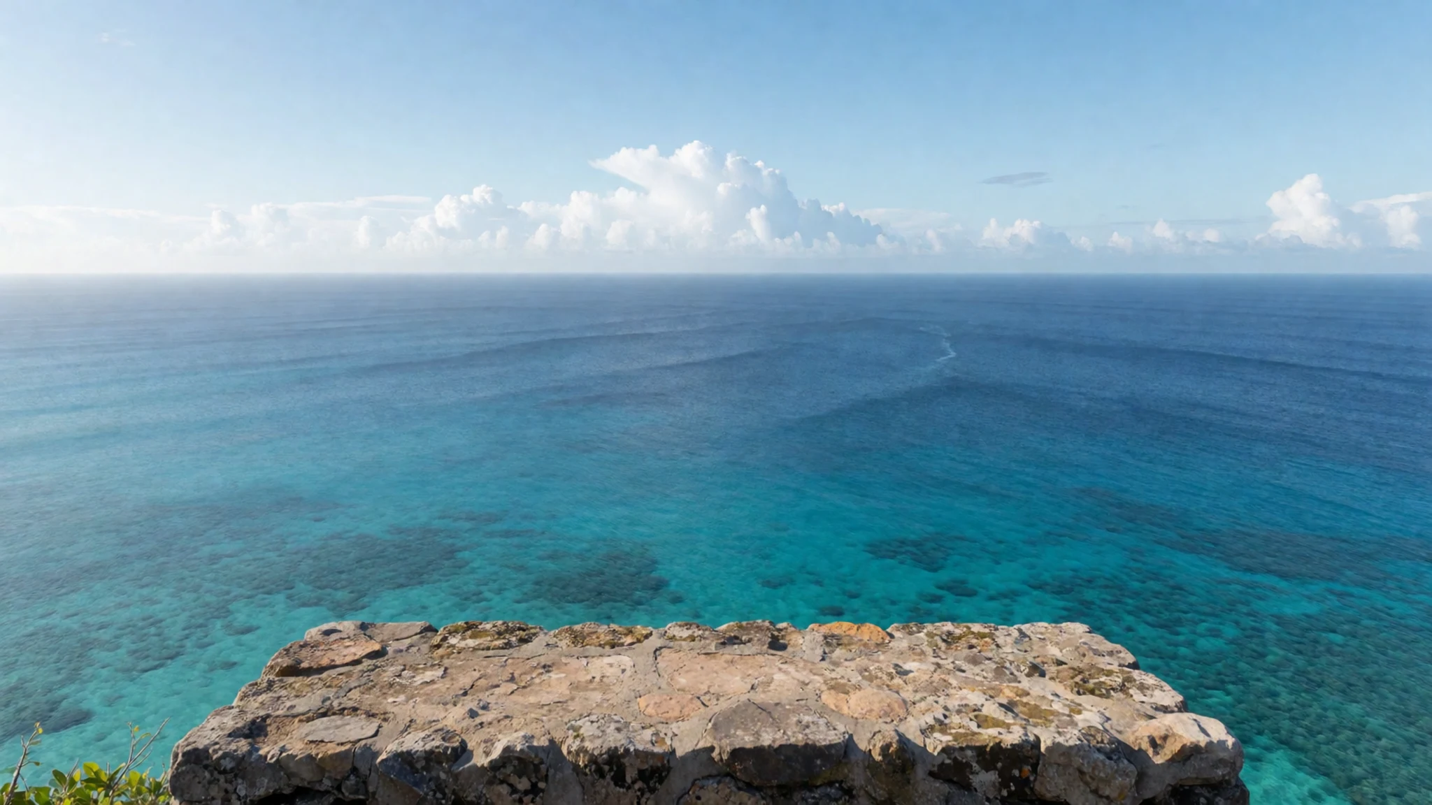
- Rock Fort ruins and coastal angles — Rock Fort ridge
Fort Duvernette’s walls are broken, but they’re still readable. Look for the fort’s defensive layout against the wind; then turn for the layered coastal angles over Young Island.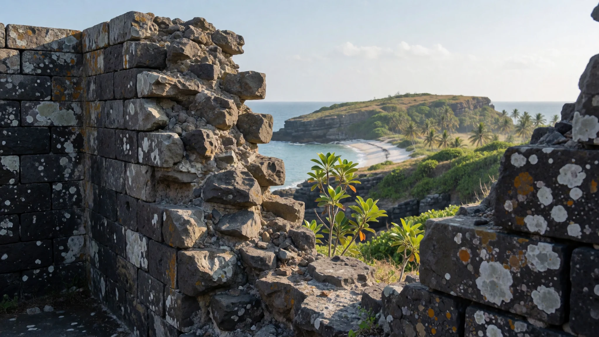
- Hike to and around the summit — Fort Duvernette approach
The hike is the point: it takes time and it’s steep in places, but it rewards with changing views at every bend. Pause where the greenery thins and the coast becomes the main subject.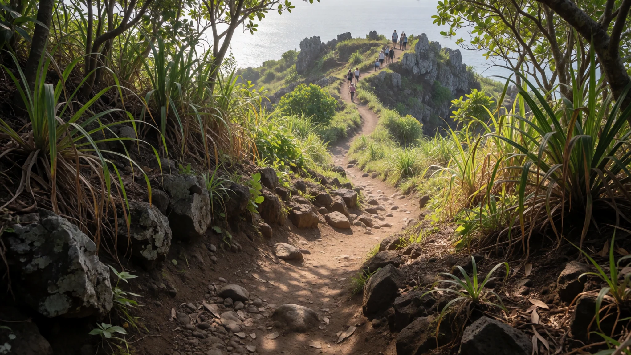
- Young Island sea views from above — Overlooking Young Island
From Fort Duvernette, Young Island reads like a small world wrapped by water. On calmer weather you can trace the shoreline textures, and you’ll often spot boats moving along the Grenadines side of the horizon.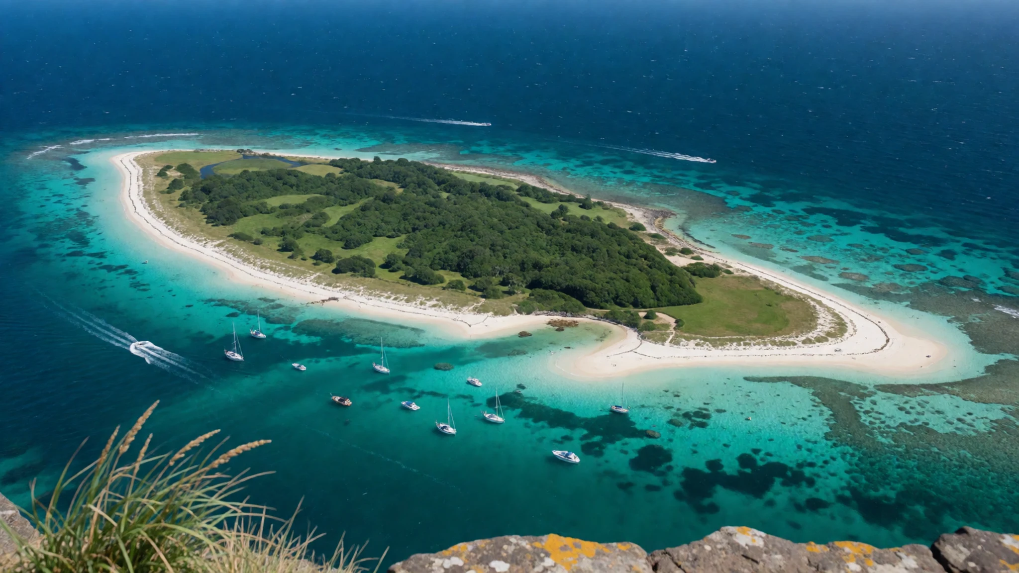
- Historic landscape walk feel — Coastal trail zone
Beyond the ruins, the landscape keeps the fort’s story grounded: basalt edges, coastal breeze, and pockets of vegetation shaped by island weather. It’s less about checkpoints and more about sustained atmosphere.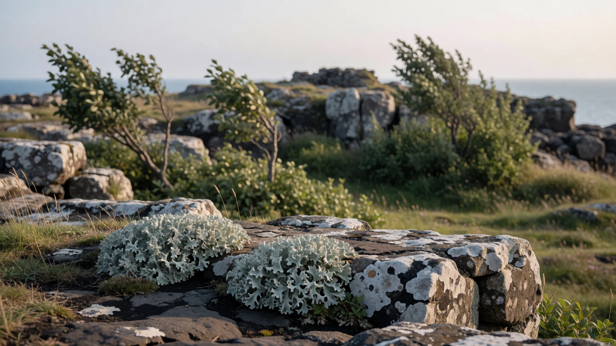
Culture
Fort Duvernette sits in a living Caribbean landscape, so treat it like heritage that shares space with everyday island life. The fort is a ruined structure, which means there’s no “tidy visitor” path etiquette like at some curated sites: stick to stable footing, keep to marked edges where they exist, and avoid climbing on sections that look fragile.
Because the view matters here, expect that most people will arrive for photos and a short linger rather than a long organised tour. If you see others waiting for a clear shot, don’t step into someone’s frame—move to the side and give the space that a windy overlook demands.
This is also a place where weather can change quickly, so be mindful of how you handle windblown litter and wet ground, especially after the rainy months. If you’re visiting with a small group, keep voices low; the point is to hear the coast, not to turn the ridge into a chatty gathering.
Visitor etiquette: stay on stable ground, keep off fragile ruins, and step aside so other visitors can photograph the view without crowding.
What to wear
Fort Duvernette is outdoors, so clothing works best when it matches island weather and the practicalities of a rocky, uphill approach. There’s no formal dress code like at a ceremonial site, but you’ll be moving through sun and shade quickly.
Traditional dress in Saint Vincent and the Grenadines often reflects vibrant island textiles and styles worn for festivals and cultural events; on the coast, you’ll see people dressed for warmth—light fabrics, bright colours, and everyday items alongside occasion wear.
What people actually wear day to day around Fort Duvernette is simple: breathable tops, shorts or lightweight trousers, and comfortable footwear made for uneven ground. In hotter parts of the day, a hat and sunglasses are genuinely useful.
For a visitor, wear lightweight, moisture-wicking layers, plus a light rain layer if the sky looks changeable. Bring closed-toe shoes or sturdy sandals with grip—flip-flops are risky on rough footing. Keep sun protection close and consider a small bag for water and a basic snack for the climb.
What to eat
- Roasted breadfruit and fried jackfish — Roadside barbecue areas
Saint Vincent’s national dish pairs roasted breadfruit with fried jackfish. Look for local roadside grills and weekend-style food spots rather than tourist menus, especially around evenings when people gather to eat.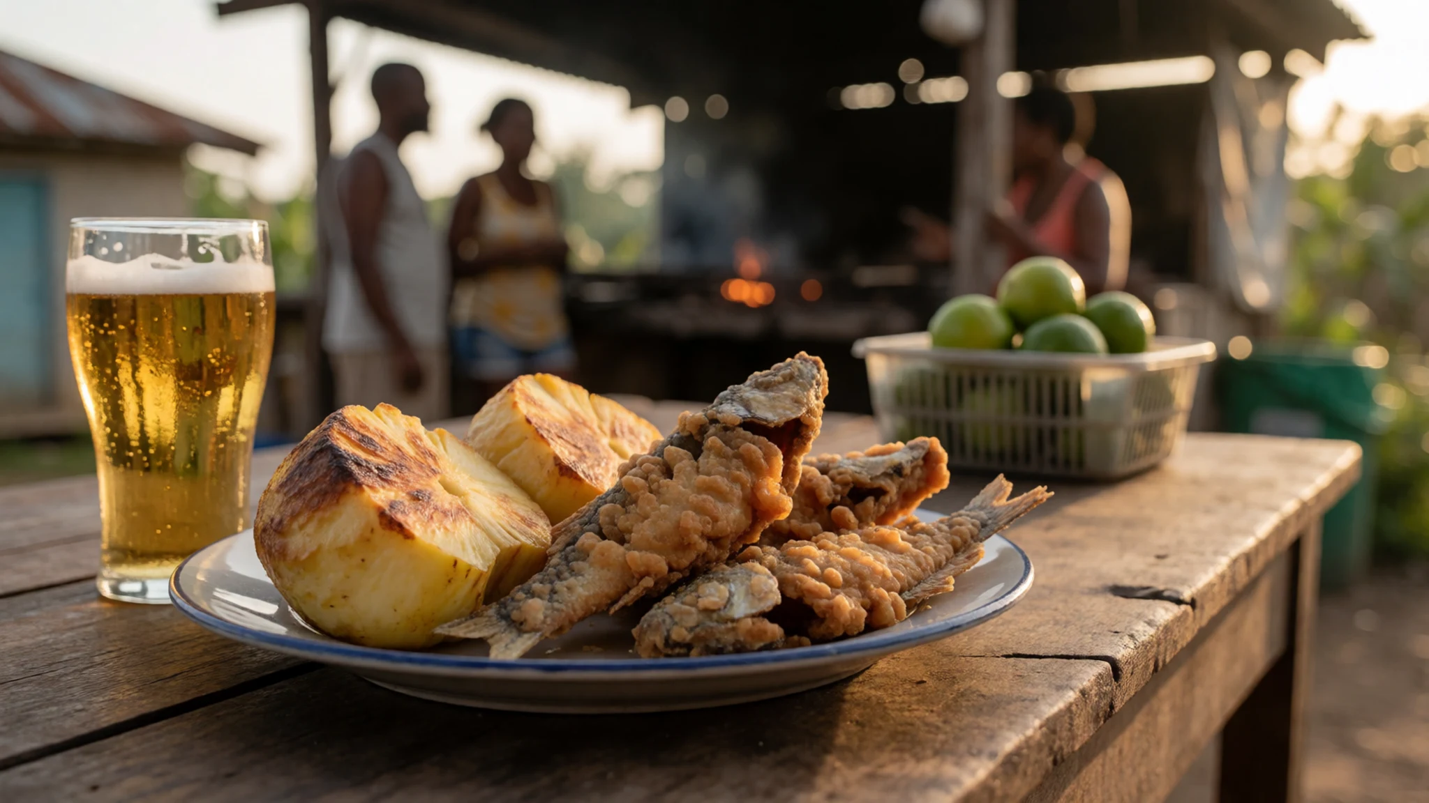
- Pork or chicken roadside barbecue — Roadside barbecue joints
A Friday or Saturday night roadside barbecue is a straightforward, reliable way to eat like locals. Expect simple seasoning, sizzling grills, and the sort of casual atmosphere where everyone shares nearby tables.
- Bitter Lemon — Local bars and eateries
Bitter Lemon is a popular locally known soda to cut through heat. It’s often sold with other non-alcoholic drinks, and it’s a refreshing choice after a hike when the humidity or sun has had its say. - Fruit cocktail — Shops and casual restaurants
Fruit cocktail shows up as an easy, sweet-and-fruity drink option. It’s typically available alongside other bottled soft drinks, making it a good grab-and-go companion for beach days. - Hairoun beer — Bars and local restaurants
Hairoun is a locally produced beer and a common pick when people want something cold with their meal. If the plan includes a sunset view, it’s the kind of drink that pairs with relaxed island pacing.
Plan it
Best time. April and October–November for more comfortable hiking conditions; the rainy season runs roughly from May to November, when showers can complicate paths. (Fort Duvernette is a viewpoint hike, so clearer weather matters.)
How long. 2–3
Getting there. Fly into Argyle International Airport (SVD), then continue by local transport to the coast and the trail start; the final leg is typically by road plus a short approach on foot.
Budget. mid
Tips
- Go early in the day to enjoy clearer coastal light and cooler air on the climb
- Aim for flexible timing in the rainy months, when sudden showers can slow walking
- Bring water and a light rain layer even when the morning looks fine
- Ask locally about the quickest approach to the fort area before setting off
- Expect uneven, rocky ground—plan footwear accordingly
Etiquette
- Stay off fragile ruins and stick to stable ground on the approach
- Keep voices down and give other visitors space at the viewpoints
- Take your rubbish back with you—don’t leave it on the windy ridge
Nearby
Sources
- Wikidata Q31839495 (CC0)
- Wikipedia (rev 1317881098) (CC BY-SA 4.0)
- Wikivoyage (rev 5362959) (CC BY-SA 4.0)
- Photo photos/01-young-island-st-vincent-cropped.jpg (CC BY 2.5)
- Photo photos/02-fort-duvernette-and-young-s-island-from-calliaqua-st-vincent.jpg (Public domain)

