Fogo
Fogo, Cape Verde
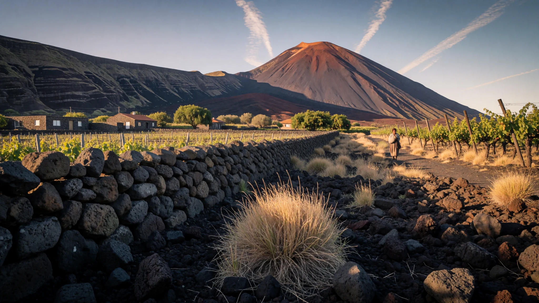
Fogo is a Cape Verdean island formed by one active volcano, with crater villages, vineyards and a guided climb to the summit.
The place
Fogo is a round island of volcanic rock in the Sotavento group of Cape Verde, out in the Atlantic, with about 38,600 people. Almost the whole island is a single volcano. Its summit, Pico do Fogo, reaches 2,829 metres, the high point of the archipelago. Santiago lies to the east and Brava to the west, and the name is simply the Portuguese word for fire. Inside the old crater wall sits a wide caldera called Chã das Caldeiras, home to two small villages, Portela and Bangaeira, whose families have had to leave during eruptions and return afterwards. The surrounding wall, the Bordeira, rises about a kilometre in places and is broken on the eastern side. São Filipe is the main town, with the airport and port close by and a black-sand beach at its edge. Away from the coast the island is mostly dry and farmed only where water allows, while the north-east catches the most rain and turns green, with cloud forest, bananas, coffee and papaya. Because the mountain is so tall, the climate changes quickly with height: warm and dry near the sea, cooler and often misty above. Birdwatchers come for Fea's petrel, Boyd's shearwater and the Cape Verde swift, and botanists for two plants found only on the crater rim, Echium vulcanorum and Erysimum caboverdeanum. Fogo is not a resort island. Its visitors are mostly hikers, relatives returning from abroad, and people curious about a living volcano. Farming, fishing, coffee and wine carry the local economy, helped by money sent home by emigrants.
Its story
Fogo's history is tied to its volcano at every turn. About 73,000 years ago the eastern flank of the mountain collapsed into the sea, and the wave that followed is thought to have swamped parts of nearby Santiago. Human history begins much later. The Genoese captain António de Noli, sailing for the Portuguese Crown, reached the island in 1460, and settlers followed over the next decades. São Filipe became the archipelago's second settlement of note, after Cidade Velha. The volcano has erupted often, sometimes from the summit and sometimes from fissures on its slopes. After the eruption of 1680, thick ash lay over the land and many islanders crossed the channel to Brava to escape. More eruptions came in later centuries, and the latest, in 2014, again sent the caldera's residents out of their homes. Rain has been as decisive as lava. When the summer rains failed, hunger followed, and that happened repeatedly in the eighteenth and nineteenth centuries. Between 1941 and 1943 nearly a third of the islanders died. Hardship pushed many people overseas, and Fogo today keeps close family ties with Rhode Island and Massachusetts, as well as with Portugal, France, the Netherlands and Italy. Until 1992 the whole island was one municipality. It is now divided into São Filipe, Mosteiros and Santa Catarina do Fogo, which roughly follow the island's three characters: the coastal town, the green north-east and the high farming country.
What to see
- Chã das Caldeiras — Caldera floor, central Fogo
The floor of the ancient caldera is the base for most walking on the island. Two small villages sit among black lava fields, vines and fruit trees, with the Bordeira wall towering around them. Expect cool mornings, bare cinder underfoot and a strong sense of living beside the volcano.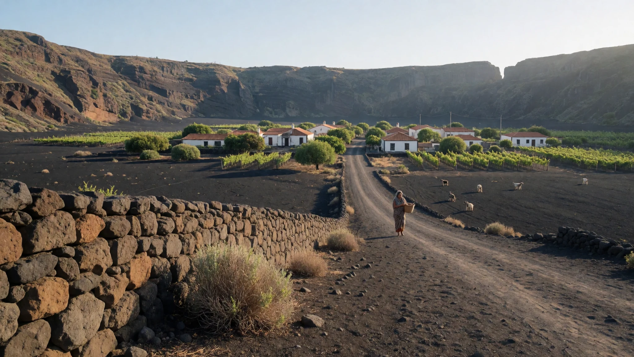
- Pico do Fogo — Summit of the volcano
The climb to the summit crater is the island's best-known walk, starting from Chã das Caldeiras over loose volcanic ground. A local guide is required, and can be arranged through agencies in São Filipe or in the crater villages. Start early, carry plenty of water and expect wind at the top.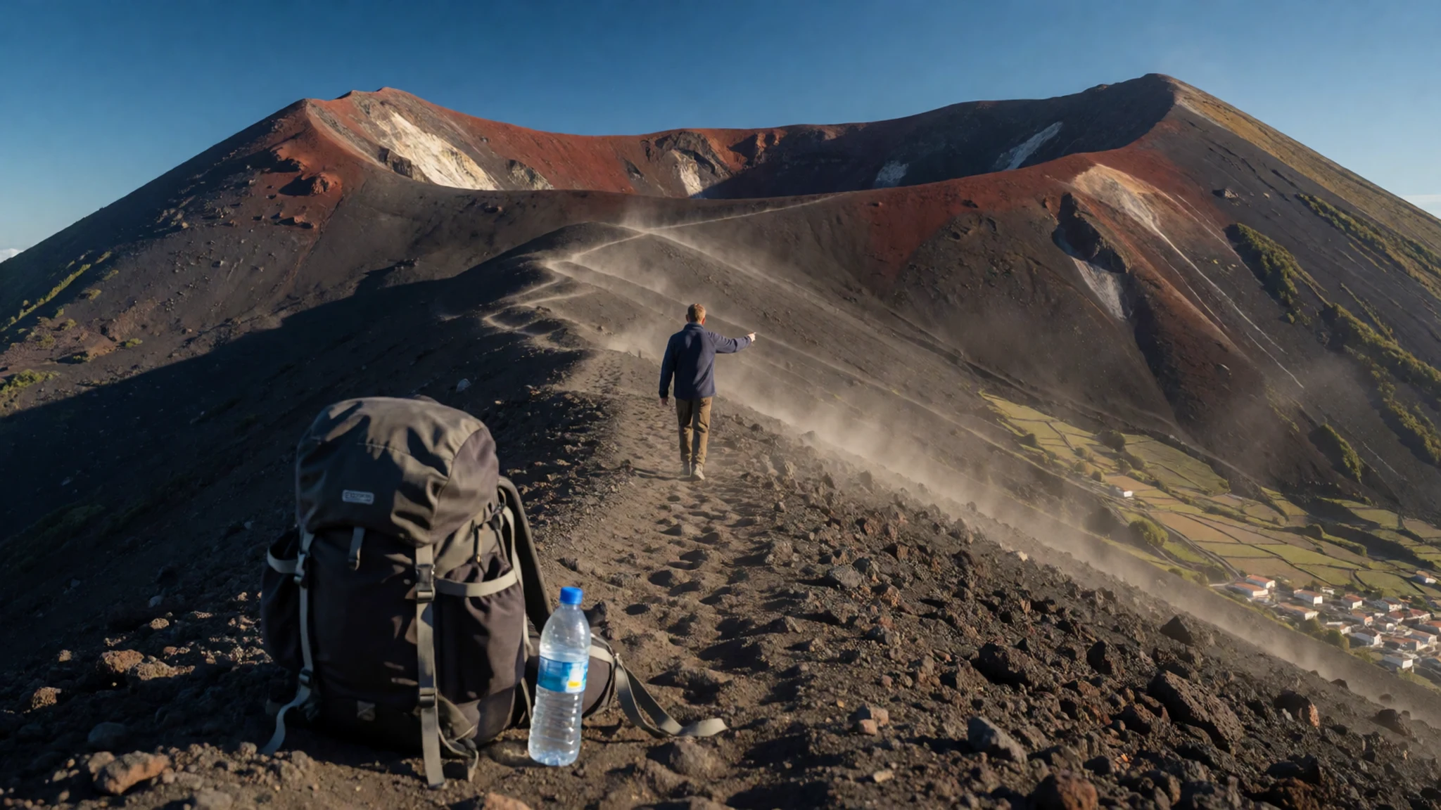
- Bordeira ridge walk — Rim of Chã das Caldeiras
A two-day route follows the rim of the caldera, looking down into the crater on one side and out over the island on the other. It is demanding, remote and only done with a guide. It suits walkers who want more than a single summit day and are comfortable with exposed ground.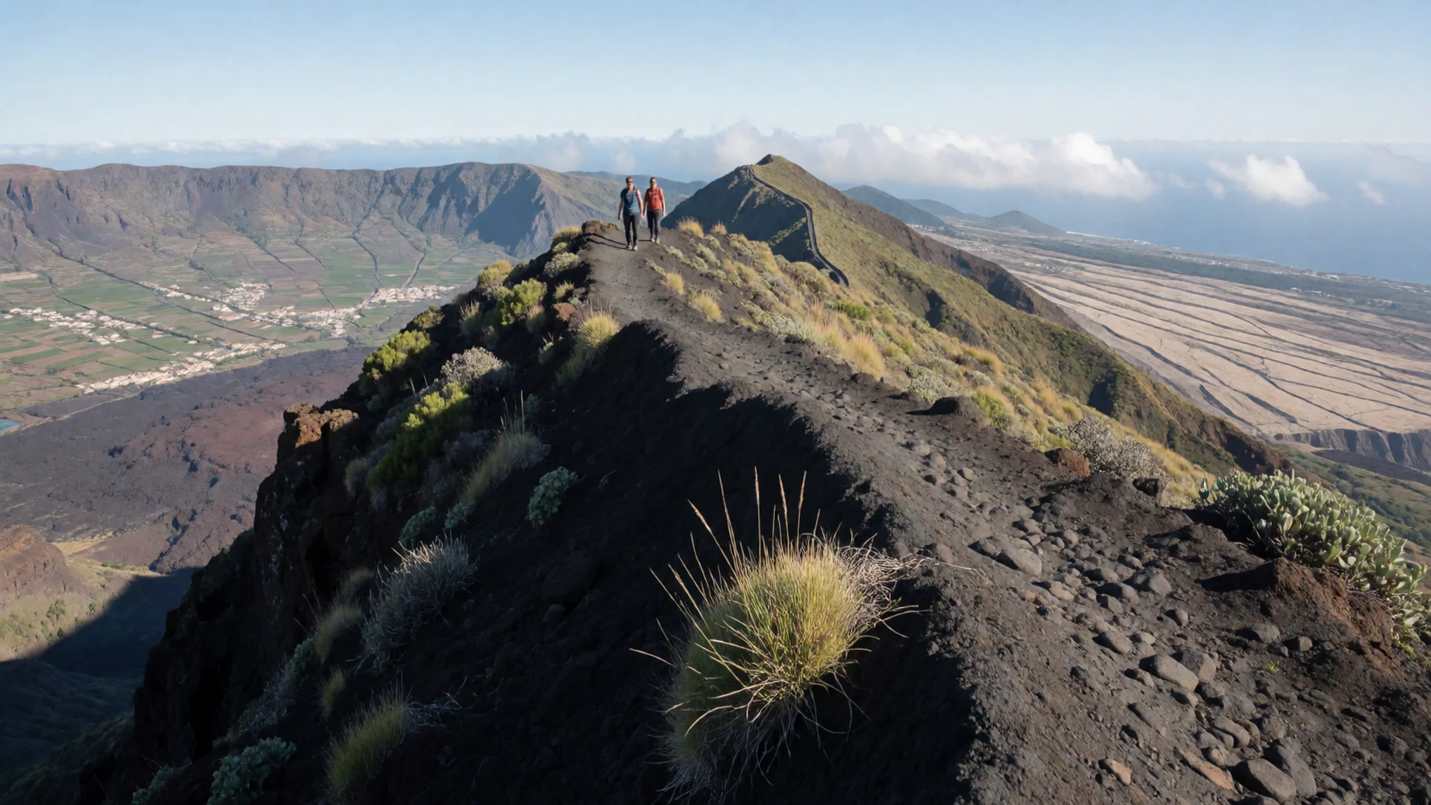
- Mosteiros and the green north-east — Mosteiros municipality, north-east
This wetter side of the island has cloud forest and small farms growing bananas, coffee, papaya and beans. It looks nothing like the dry cinder country higher up. Easier walks link the crater to Mosteiros, and hiking maps are sold at the museum in São Filipe.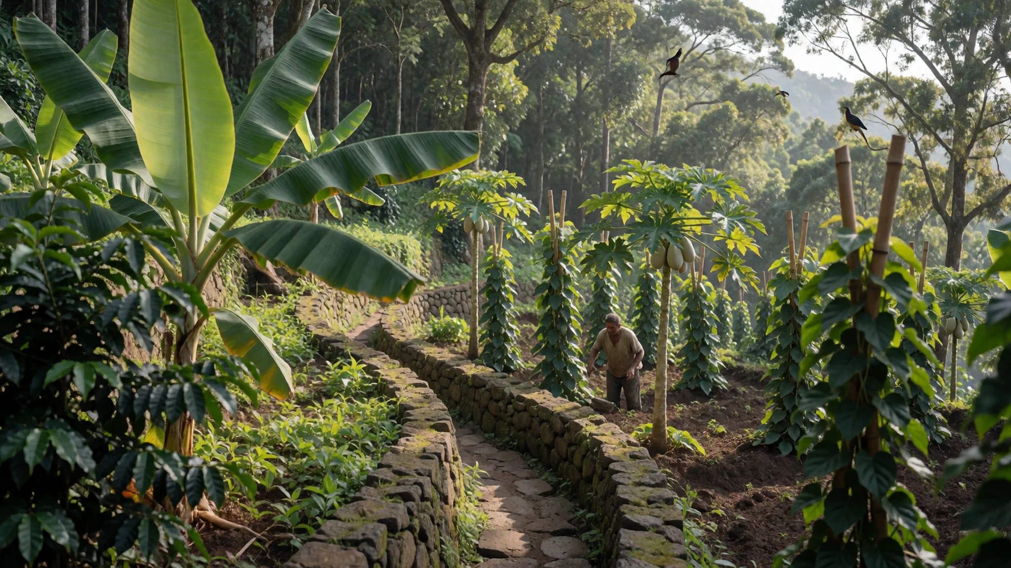
- La Salina — North coast, near São Jorge
A natural rock basin on the northern coast, west of São Jorge, where sea water collects and can be reached by metal ladders. It is one of the two places on the island for a swim. Watch your footing, and take care with sea urchins on the rocks.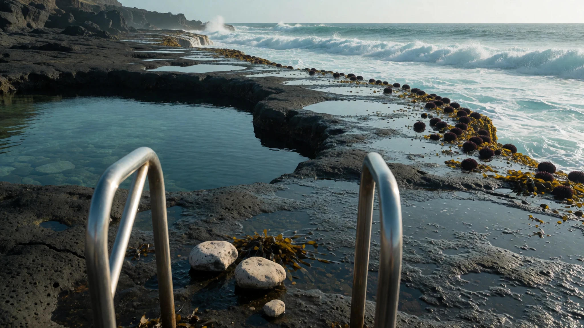
- São Filipe beach — São Filipe waterfront
The town's black-sand beach is pleasant for a walk and for watching the evening, but swimming needs caution because currents are strong. A lifeguard is often posted mid-afternoon. Keep bags with you or wrapped in a towel, and take little to the sand.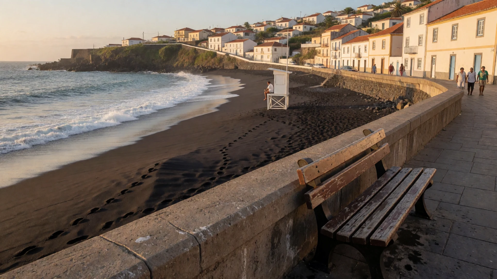
Culture
Fogo's culture is Creole, shaped by Portuguese settlement, African roots and a long habit of leaving and returning. Kriolu is the language of daily life, with Portuguese used for official matters. Almost every family has someone abroad, and the arrival of relatives from the United States or Europe, along with money sent home, is a regular part of island life and of how many households get by. Farming and winemaking still matter. In Chã das Caldeiras, people grow vines and fruit on volcanic soil and rebuild after eruptions with a practical, unshowy determination. The crater villages are lived-in communities and not a sightseeing set, and they have been through evacuations within recent memory. In São Filipe, evenings are for sitting out, talking and listening to music, and the odd live event happens at bars and clubs in town. Guides are respected local experts as well as safety requirements, and walking with one is also a way to hear how people read the mountain, from weather to the state of the crater. Visitors who spend a night in the caldera will find the pace slow and hospitality generous. Ask before photographing people or their homes in Portela and Bangaeira, and settle your guide arrangements before you set out.
What to wear
Fogo has no single costume worn every day. Cape Verdean tradition includes cotton cloths wrapped at the waist or over the shoulders, and head-wraps for women, but on Fogo such dress is now mostly kept for festivals and family occasions. It is worth asking locally what is worn at a given event instead of expecting to see it on the street. Everyday clothing is modern and casual: T-shirts, jeans, football shirts, light dresses and trainers, often with a smart outfit for church or a celebration. Styles are influenced by relatives overseas, so a visitor will not look out of place in ordinary casual wear. For the coast, light cotton, a sun hat and sandals are enough, with swimwear kept for the beach or the rock pool. In towns and churches, cover the shoulders and knees as a courtesy. For the volcano, dress for changing conditions. Mornings in the caldera can be cool, the summit is windy, and the ground is loose cinder and sharp lava. Wear sturdy closed boots with good grip, long trousers, a windproof layer, sunglasses and sun protection. Gaiters or high socks help keep grit out of shoes, and a light scarf is useful against dust.
What to eat
- Cachupa — Local eateries in São Filipe
The national stew of beans and maize, cooked slowly with fish or chicken. On Fogo it is a hearty main meal, best eaten at lunchtime. Order it at a simple local eatery in São Filipe, where each cook has a slightly different version.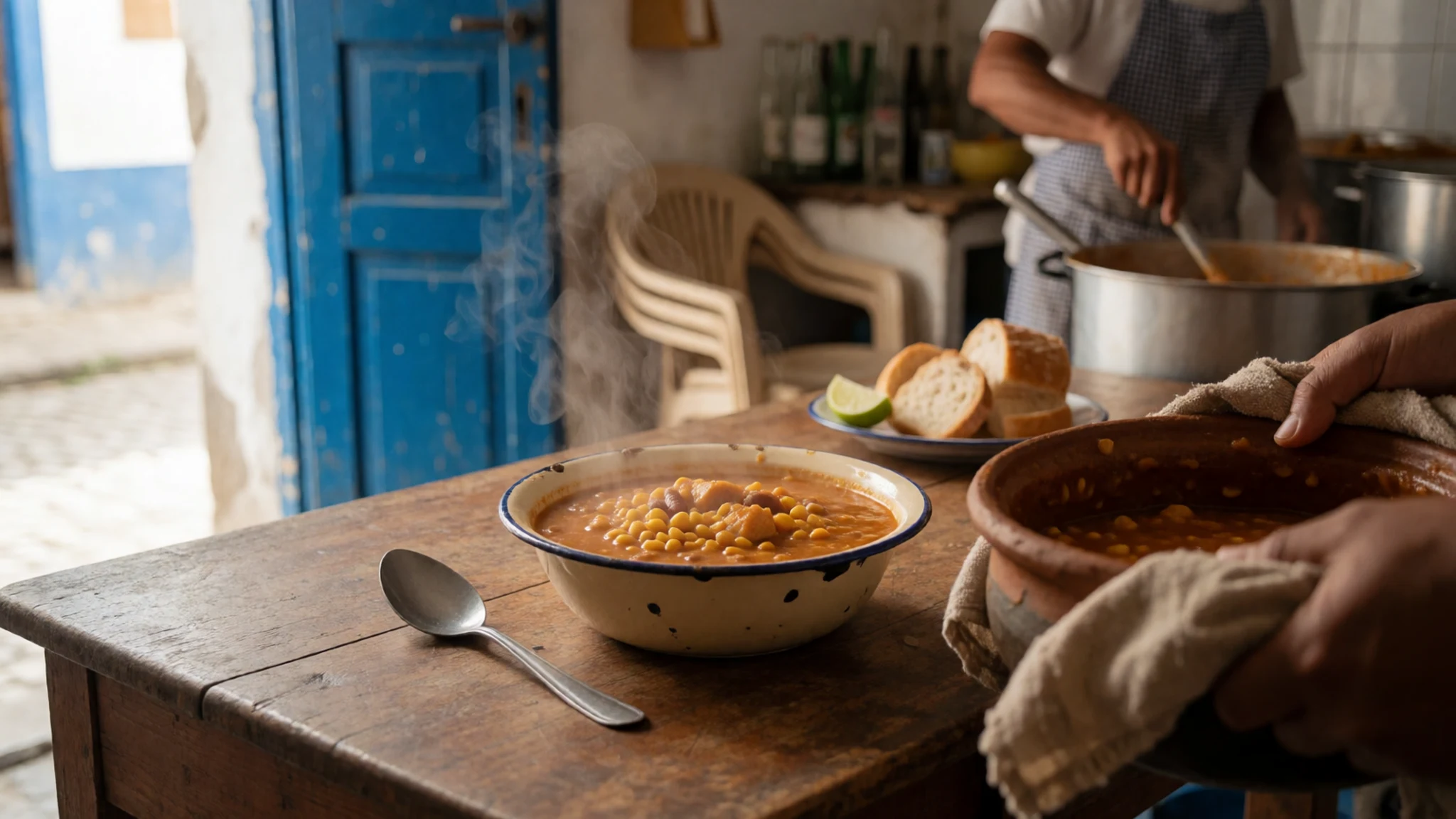
- Freshly landed fish — Eateries around São Filipe port
Fish is the island's main protein, usually grilled or stewed and served with rice or maize. Beef and pork are scarce, so fish and chicken fill most menus. Ask what came in that morning, and eat near the port where the catch arrives.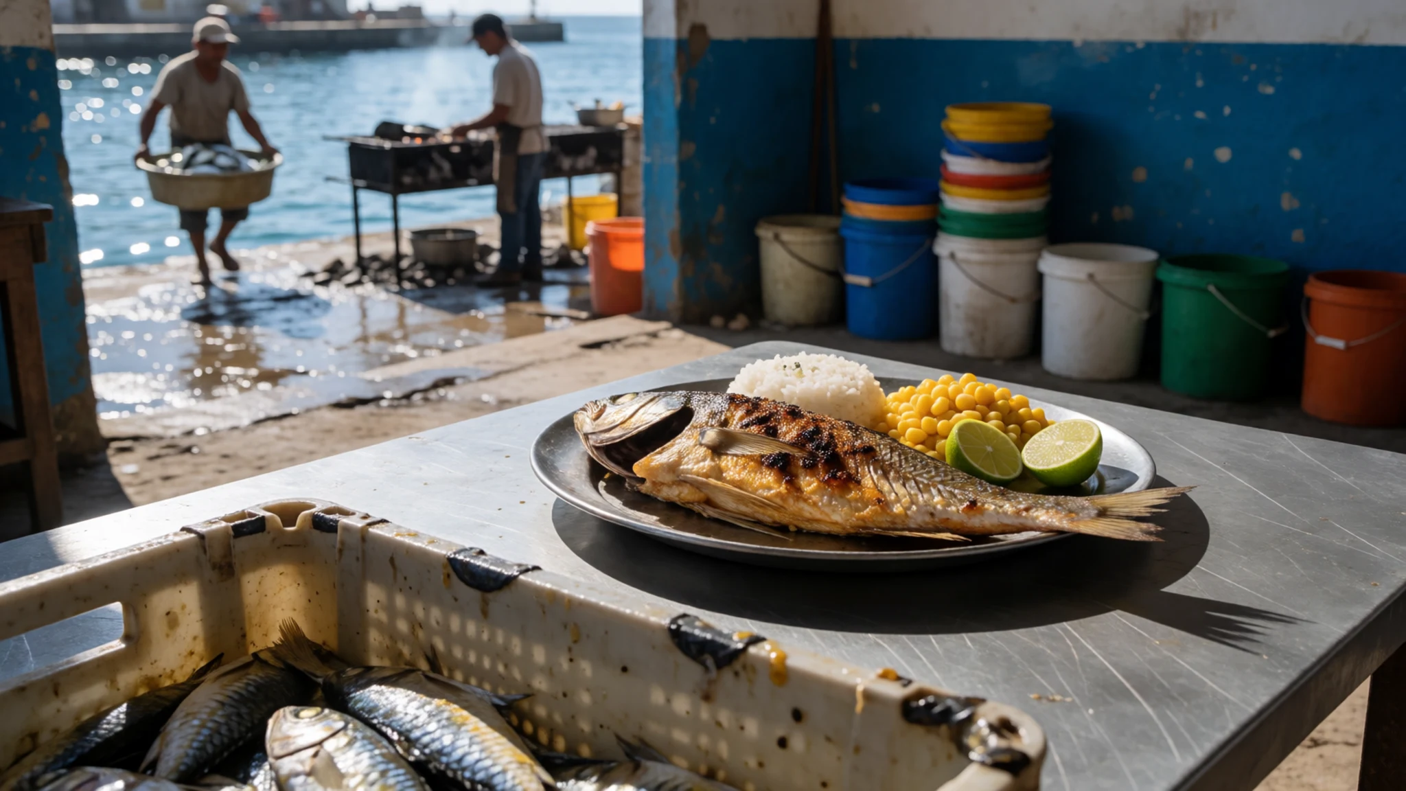
- Fogo wine — Chã das Caldeiras villages
Vines grow in the volcanic soil of the caldera, producing red, white and rosé wines that islanders have been proud of for generations. Tasting is easiest in the crater villages, where producers and small guesthouses often pour their own. - Manecon — Bars and homes in the caldera
A strong, dark red wine made on the island, with more punch than the standard bottles. It is a local taste, best sampled in small measures with a local to explain how it is made and when it is drunk. - Fogo coffee — Cafés in São Filipe and farms near Mosteiros
Coffee grown on volcanic soil is one of the island's main products and has a good reputation. Buy beans or drink a small cup after a meal, particularly in the wetter north-east where the plantations are. - Tropical fruit and juices — The covered market in São Filipe
Bananas, papaya and other fruit come from the wetter slopes, and stalls turn them into fresh juices. The two-storey market in São Filipe also sells vegetables, fish and small goods, and is a good place to pick up fruit before a hike.
Plan it
Best time. November to March is the usual choice for walking, with cooler air and clearer views from the summit. Summer is when the rains come, with mist on the high ground, and the green north-east is at its best then. Check the weather the day before any climb.
How long. 3–4
Getting there. Fly from Praia to São Filipe Airport (SFL), a short way from the town; the volcano shows from the windows on the right-hand side as you arrive. A ferry also runs from Praia to São Filipe, and another from São Filipe to Brava. For the last leg to Chã das Caldeiras, arrange a taxi or a transfer through your guide.
Budget. mid
Tips
- Book a licensed local guide for the summit and the Bordeira ridge; agencies in São Filipe can arrange this, and guides are required
- Start climbs early to avoid heat and afternoon cloud, and carry more water than you expect to need
- Bring layers: the caldera and summit are much cooler and windier than São Filipe
- Keep cash as a back-up, as small shops and village guesthouses may not take cards
- Do not leave bags unattended on São Filipe beach, and swim only where locals do, since currents are strong
Etiquette
- Greet people before asking for help or directions
- Ask before photographing residents or their houses in the crater villages
- Follow your guide's route on the volcano and take your rubbish back down
Nearby
Sources
- Wikidata Q426555 (CC0)
- Wikipedia: Fogo, Cape Verde (rev 1377571779) (CC BY-SA 4.0)
- Wikivoyage: Fogo (rev 5263655) (CC BY-SA 4.0)
- Photo: Ilha do Fogo aerial shot 2, Aldo Bien (CC BY 3.0)
- Photo: Fogo, Cape Verde Islands, Jesse Allen / NASA EO-1 Team (Public domain)
- Photo: Locator map of Fogo, Cape Verde (CC BY-SA 2.5)
- Photo: Fogo endemic plants, Torbenbrinker (CC BY 3.0)
- Photo: Mount Fogo, David Trainer (CC BY 3.0)
- Photo: Fogo island perspective, NASA/GSFC/METI/ERSDAC/JAROS and U.S./Japan ASTER Science Team (Public domain)
- Photo: Ilha do Fogo aerial shot 1, Aldo Bien (CC BY 3.0)
- Photo: Alyssa K. Barry, Fogo, Cape Verde, Kalyss (CC BY-SA 4.0)


