Exuma
Exuma, The Bahamas
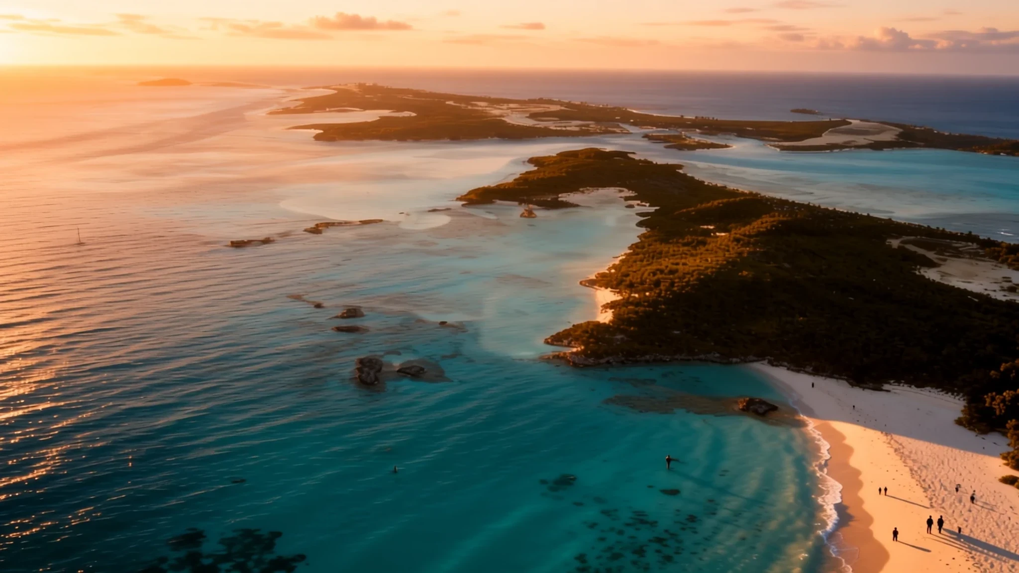
Exuma's 365-plus islands and cays offer white sand, clear water and boat-only corners, far from the crowds of a big resort.
The place
Exuma is a district of The Bahamas, a chain of more than 365 islands and cays stretching about 209 km from north to south. Great Exuma, the largest island, is joined by a short bridge to Little Exuma, and most visitors who fly in land there. The district had about 6,900 people in 2010, and only about a fifth of them lived in George Town, the capital, with the rest spread across smaller settlements.
Much of the landscape is low, with pale sand, shallow turquoise water and mangrove channels. Great Exuma is about 60 km long. George Town sits on the island as a harbour town, where government offices and shops serve residents and visitors alike. Near the town, the Tropic of Cancer runs across Pelican Beach on Little Exuma, which is why the beach is also called Tropic of Cancer Beach. Its white sand is known well beyond the islands.
The population more than doubled in a single decade as resorts were built and direct flights from Toronto arrived. Away from the resort areas, though, the islands feel quiet, with long stretches of sand that may have nobody else on them. Outside George Town and Black Point, restaurants are scarce, so the eateries at marinas and yacht clubs often become the default.
Its story
Exuma was settled by American colonial loyalists who fled the upheaval of the Revolutionary War and brought cotton plantations to the islands. Their loyalty to the Crown is still present in the name of the capital, George Town, which honours King George III. The plantation economy depended on enslaved labour, and that history shaped how villages and land ownership developed across the islands.
Baron Rolle, a loyalist settler, is a central figure in the islands' heritage. When he died, he left his substantial Exuma landholdings to the people he had enslaved. Towns on Great Exuma, including Rolleville and Rolletown, still carry his name, and the land story is part of how many island communities understand their own origins.
A few smaller cays remain partly or wholly privately owned. They are still counted as part of the Exuma and Bahamas cays chain and are known by their numbers rather than by names. The best-known examples are two adjoining cays that are losing their shorelines to erosion.
Today the islands are known for yachting, sailing, diving, and exploring coral reefs and caves. Many of the unnamed beaches, coves and offshore reefs are protected within Exuma National Land and Sea Park or Moriah Harbour Cay National Park, both run by the Bahamas National Trust. Permanent residents and resorts are spread across Great Exuma, Little Exuma, Stocking Island, Staniel Cay, Fowl Cay, Musha Cay and Iguana Cay, with Staniel Cay's yacht club a long-standing fixture.
What to see
- Tropic of Cancer Beach (Pelican Beach) — Little Exuma, near George Town
The Tropic of Cancer runs across this beach on Little Exuma, close to George Town, which gives the spot its second name. The sand is white and the water is clear enough to see the bottom in the shallows. It is easy to reach from town, making it a good first swim. Go early for quieter sand, and bring your own shade.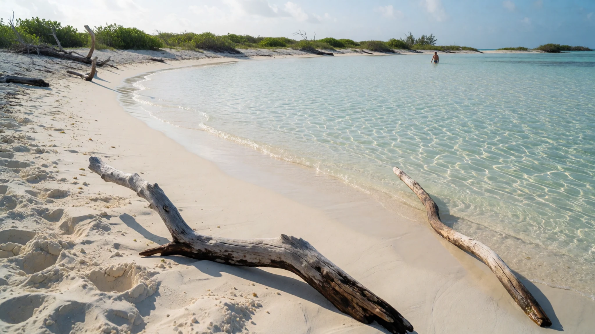
- Thunderball Grotto — Next to Staniel Cay
A natural cave in a small islet beside Staniel Cay, half filled with seawater and tropical fish. It featured in the James Bond film Thunderball. The islet is reached only by boat, and the cave only by swimming through a gap in the rocks: snorkel at low tide, dive at high tide. Without your own boat, a tour from Staniel Cay is the usual route.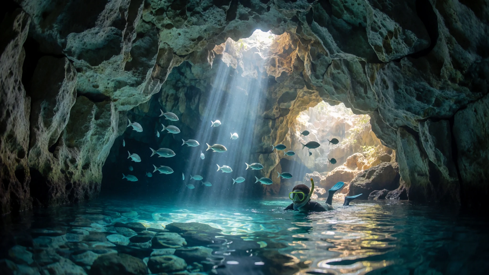
- Exuma National Land and Sea Park — Northern Exumas
A protected stretch of islands near the northern end of the chain, covering many unnamed beaches, coves and offshore reefs. Shroud Cay, within the park, has crystal-clear channels through mangrove forest, where sea turtles, stingrays and baby sharks can be seen. Hawksbill Cay has beautiful beaches and hiking trails. Most visitors arrive by boat, so a few days suit it best.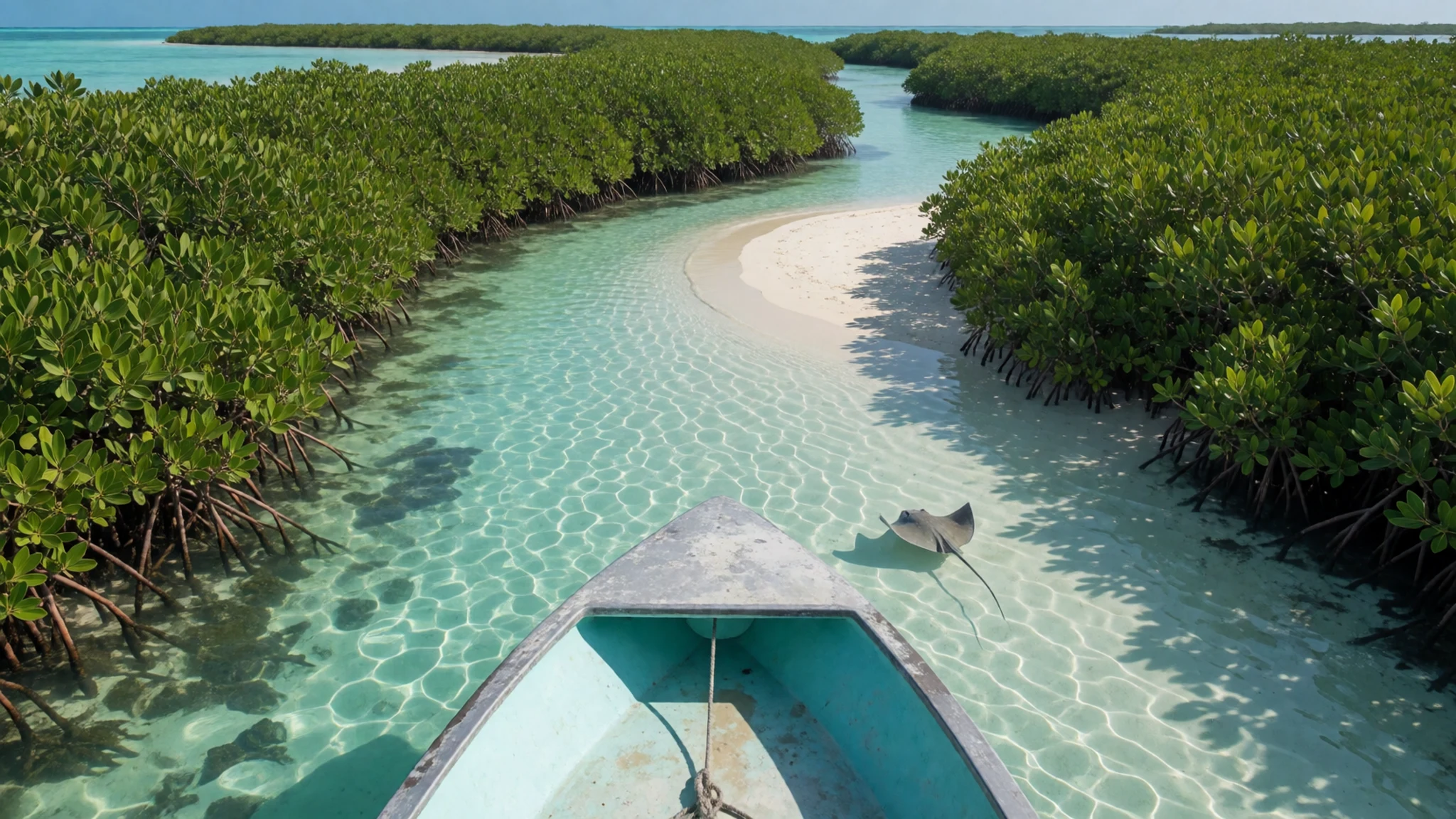
- Staniel Cay Yacht Club — Staniel Cay, central Exumas
Staniel Cay is a small island in the middle of the chain, home to the Staniel Cay Yacht Club, a long-standing fixture in the Exumas. It is a stop for boats and tour operators heading to the Thunderball Grotto nearby. Check opening times with the club directly before you plan a meal, as hours can change.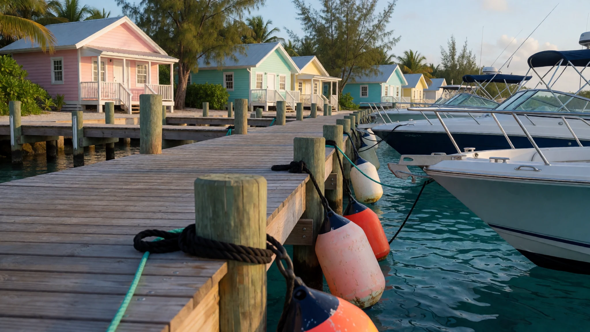
- George Town — Great Exuma
The capital and largest town of the district, on Great Exuma. It holds the government offices, shops and services that serve visitors and residents, and it is one of only a few towns with restaurants, besides the marinas. Stock up on supplies here before heading to the quieter cays, where choice drops away quickly.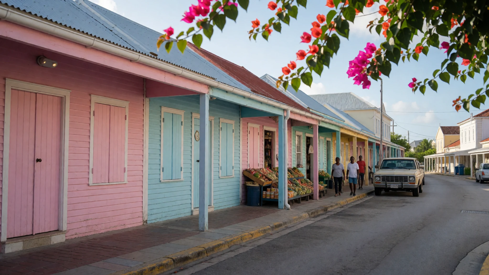
Culture
Exuma's social year is built around festivals and homecoming events. The annual Bahamian Music and Heritage Festival, regattas, Junkanoo and the homecoming gatherings in smaller settlements bring islanders and visitors together. Junkanoo is a street parade of costumed groups, and the crowds that gather for it can fill the roadside well before the groups arrive. Depending on the event, the focus may be food, sailing, arts or music, so the mood is often closer to a community gathering than a tourist show. Homecomings are when the smaller settlements are busiest, with music and food. Fishing matters both to tourism and to the local food supply, so guides and locals treat the water as a working resource as well as a playground. Visitors who fish should remember that local fishers are feeding their own households. Ask before photographing people at a festival or in a settlement, and keep engines and music low in quiet anchorages.
What to wear
Exuma has no single everyday traditional dress. Its most visible textile tradition is Junkanoo costume, built from crepe paper, cardboard and fabric, and worn by groups who parade through the streets during festivals. Costumes are bright, layered and often elaborate, and making them is a long community project that many families take part in. Day to day, islanders dress much as people do in any Caribbean town: T-shirts, shorts, sundresses and sandals, with more formal clothes for church and official occasions.
For a visitor, dress for heat and sun first. Loose cotton or linen, a hat, sunscreen and a light long-sleeved layer for evenings on the water will serve you well. Swimwear is fine on beaches and boats, but cover up in George Town and in the settlements. Pack a warm, ideally waterproof coat for the crossing from Nassau, because the open water can be choppy. Sturdy sandals with grip suit the rocky shores, and reef shoes help when you wade.
What to eat
- Cracked conch — Restaurants in George Town and Black Point, and beach bars at lunchtime
Conch is the signature seafood of the Bahamas. Cracked conch is the meat pounded thin, coated in seasoned flour and fried quickly, usually served with fries and a sauce. Find it at a restaurant in George Town or Black Point, or at a beach bar at lunchtime.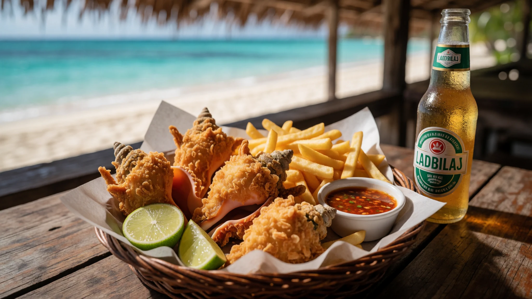
- Conch chowder — Beach bars and marina restaurants across the islands
Conch chowder is a tomato-based soup with conch, potato and vegetables, often with a little heat. Beach bars and marina restaurants across the islands serve their own versions, so the bowl changes from place to place. Order it at a bar with a view over the water for a relaxed start to a long lunch.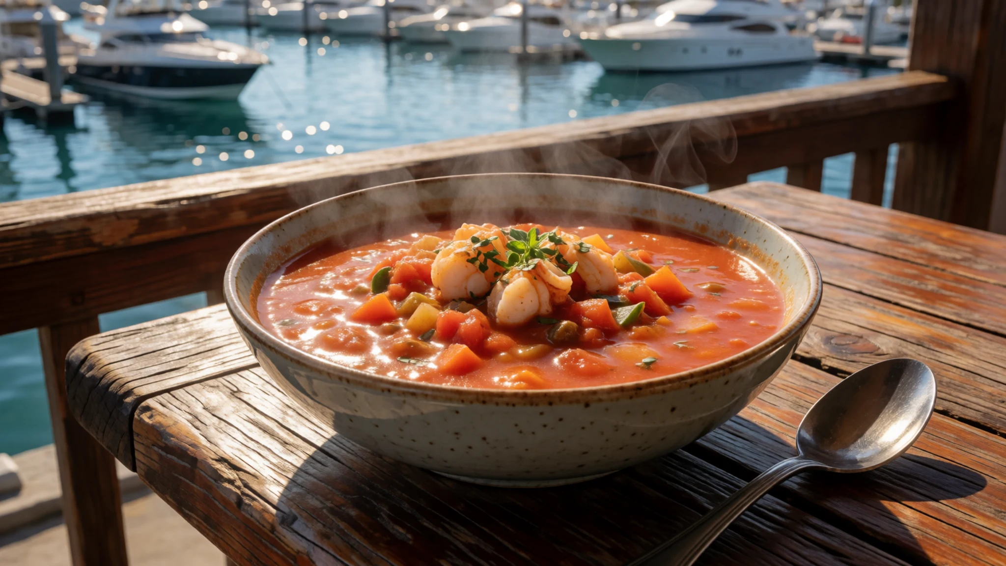
- Garlic coleslaw — Local restaurants on Great Exuma, especially around George Town
Shredded cabbage and carrot in a sharp garlic dressing, served alongside grilled fish or chicken. Some local restaurants on Great Exuma are known for it, and it is worth ordering even if you think you do not like coleslaw. It is a good counterpoint to fried seafood. - Fresh-caught reef fish — Yacht club restaurants and small eateries at marinas
Fishing feeds the islands as well as visitors, so grilled or fried fresh catch appears on menus at small restaurants and yacht clubs. Ask what came in that morning, because the local reef fish on offer changes from day to day. Simple seasoning lets the fish carry the meal. - Peas and rice — Local restaurants, cookshops and grocery counters in George Town
Peas and rice is the everyday staple, rice cooked with pigeon peas, coconut milk, onion and thyme, often served beside fish or chicken. Home cooking is the best version, but you will find it at most local restaurants and some cookshops. If you want a takeaway portion, ask at a grocery in George Town.
Plan it
Best time. The drier, cooler months from December to April suit beach days and sailing best. Summer is hot and humid, with a higher chance of storms.
How long. 3–5
Getting there. Great Exuma is home to the sole airport across the island chain, roughly 16 km north of George Town, with flights arriving from Atlanta, Charlotte, Miami, Fort Lauderdale and Nassau. The northern islands are under an hour by speedboat from Nassau, but the open crossing can be choppy. Other cays are reached by charter or your own boat.
Budget. high
Tips
- Check flight schedules early, since the route list is short
- Go out early for the quietest beaches and calmest water
- Carry some cash for small shops and eateries outside George Town
- Take water and sun protection on boat days, as shade is scarce on sandbars and cays
- Use current charts and guidance, because the old Admiralty charts on display are not for navigation
Etiquette
- Ask local advice on where to swim, as nurse and lemon sharks are present, though shallow water is usually fine
- Keep to park rules in the protected areas and leave wildlife alone, including the iguanas
- Check opening times directly with restaurants and yacht clubs, since they change
Nearby
Sources
- Wikidata Q1385577 (CC0)
- Wikipedia (rev 1380936370) (CC BY-SA 4.0)
- Wikivoyage (rev 5319095) (CC BY-SA 4.0)
- Photo 01 Little Exuma, Williamstown (Rüdiger Stehn) (CC BY-SA 2.0)
- Photo 02 Exuma tourism (CC BY 3.0)
- Photo 03 Sails up (cogdogblog) (CC0 1.0)
- Photo 04 Taut (cogdogblog) (CC0 1.0)
- Photo 05 Allens Cay iguana (Jimi world) (CC BY 3.0)
- Photo 06 Admiralty Chart No 2075 (UKHO) (Public domain)
- Photo 07 Admiralty Chart No 408, 1922 edition (UKHO) (Public domain)
- Photo 08 Admiralty Chart No 408, 1963 edition (UKHO) (Public domain)


