El Yunque National Forest
El Yunque National Forest, United States
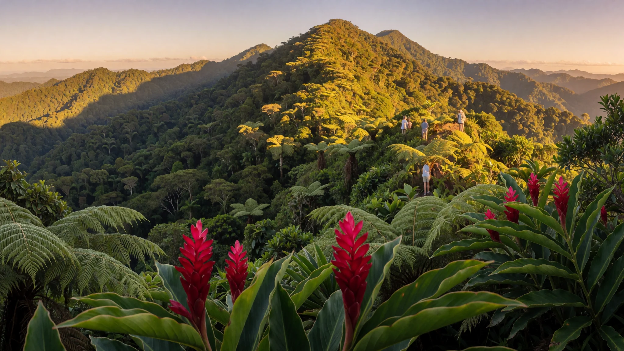
El Yunque is a rain-drenched hike-and-swim forest on Puerto Rico’s northeast side, with waterfalls, towers and rich biodiversity.
The place
El Yunque National Forest (Bosque Nacional El Yunque) sits in the Sierra de Luquillo mountain subrange in the northeast of Puerto Rico, close to the San Juan metro area. It’s managed by the U.S. Forest Service and has been in its current institutional care since 1903. The feel here is unmistakably tropical: dense greenery, streams that keep going, and a landscape that rewards slow, repeated visits rather than one quick pass.
The rainforest covers a large chunk of rugged terrain, with steep, thickly forested slopes where the trails climb, viewpoints open up, and the air gets cooler at higher elevations. The forest includes multiple peaks, including ones that rise above 900 m, and several that go beyond 1,000 m. In practice, that variety matters for hiking because conditions can shift quickly from humid valley paths to cloudier, breezier high points.
El Yunque is also unusually convenient. It’s near urban areas and the airport, so day trips are realistic, but the trade-off is that popular trailheads and waterfall spots can feel busy during peak visitor windows. The flip side: start early and the forest often feels like you’ve got the trails to yourself.
If you’re travelling from the UK or India, it helps to plan for constant rain risk. There isn’t a clear dry season inside the forest; showers can pop up any time, even when nearby streets feel bright. Pack for wet ground, expect slippery surfaces, and bring food because you won’t be relying on restaurants inside the rainforest.
Its story
El Yunque National Forest’s story starts long before modern signposts. The mountainous area was important for indigenous Taíno communities, and archaeologists have found features such as petroglyphs in the forest—signs of meaning and use in the landscape. Even where evidence points to ceremonial or sacred activity, researchers have not found proof of permanent settlements in the forest itself, suggesting people may have visited certain areas intentionally rather than living there year-round.
After Spain began its conquest of the island of Borinquen in 1493, the region’s reputation shifted as prospectors looked for gold in nearby rivers. Mining activity grew quickly, with finds reported across multiple river systems in the mountain range. But the boom didn’t last forever: by the early 1500s, conflict and resistance affected the stability of the operation, and mining activity around the area tapered off. Settlements in the broader area didn’t fully take off until later centuries.
Under all that history, the rainforest is also a geology lesson. The hills formed from volcanic debris and later igneous intrusions, giving the area a rugged, steep character that shows up in the way trails climb, valleys drain, and waterfalls drop into pockets of forest.
Today, El Yunque keeps layering experiences on top of this past: hikers follow routes that run through living rainforest, swimmers look for waterfall pools, and visitors pause at towers and viewpoints to understand how the forest rises and gathers cloud.
What to see
- Yokahú Tower area (observation views) — Yokahú lookout area
El Yunque’s tower viewpoints give you that “green ocean” perspective—canopy stretching, mist rolling in, and the ridge lines layering into the distance. The climb is mostly about reaching the platform safely on wet steps, then taking your time with photos and a slower look around.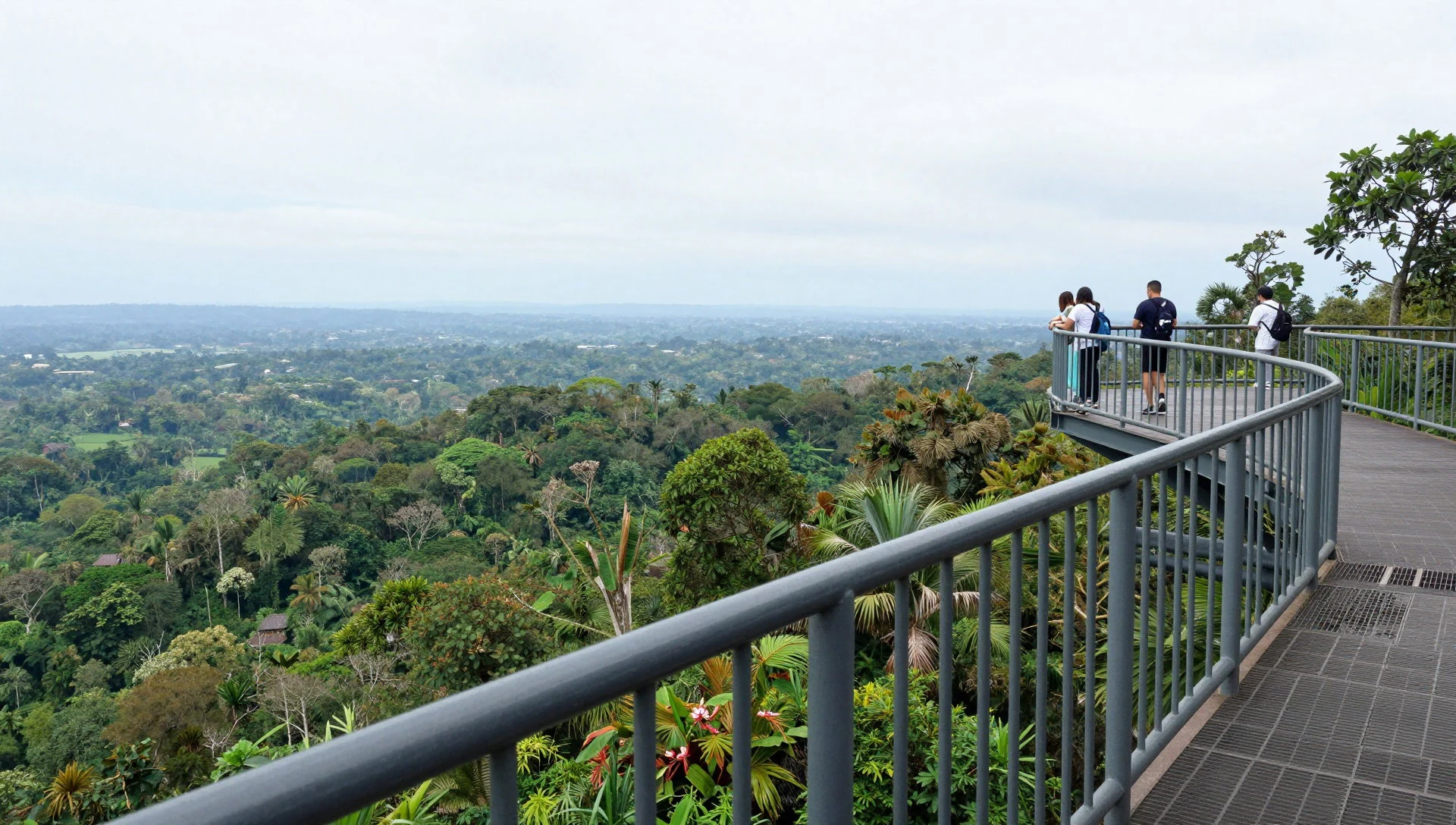
- Mount Britton Tower views — Britton lookout area
Mount Britton Tower is another high point where the forest’s verticality becomes obvious. From up top, you can see how valleys carve through the rainforest and how weather moves across the hills, so it’s a good stop when the sky is clearing between showers.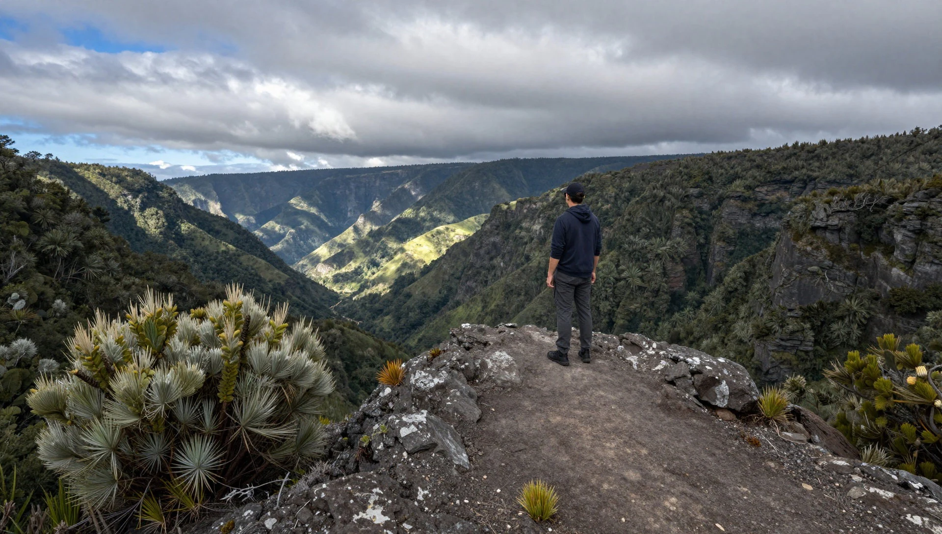
- La Mina Trail (La Mina Falls) — La Mina trail area
La Mina Trail leads to La Mina Falls, a route that’s popular in film and television memories. Expect rainforest footing and frequent wet surfaces—this is the kind of hike where a steady pace matters more than speed, and where pauses for photos are built into the experience.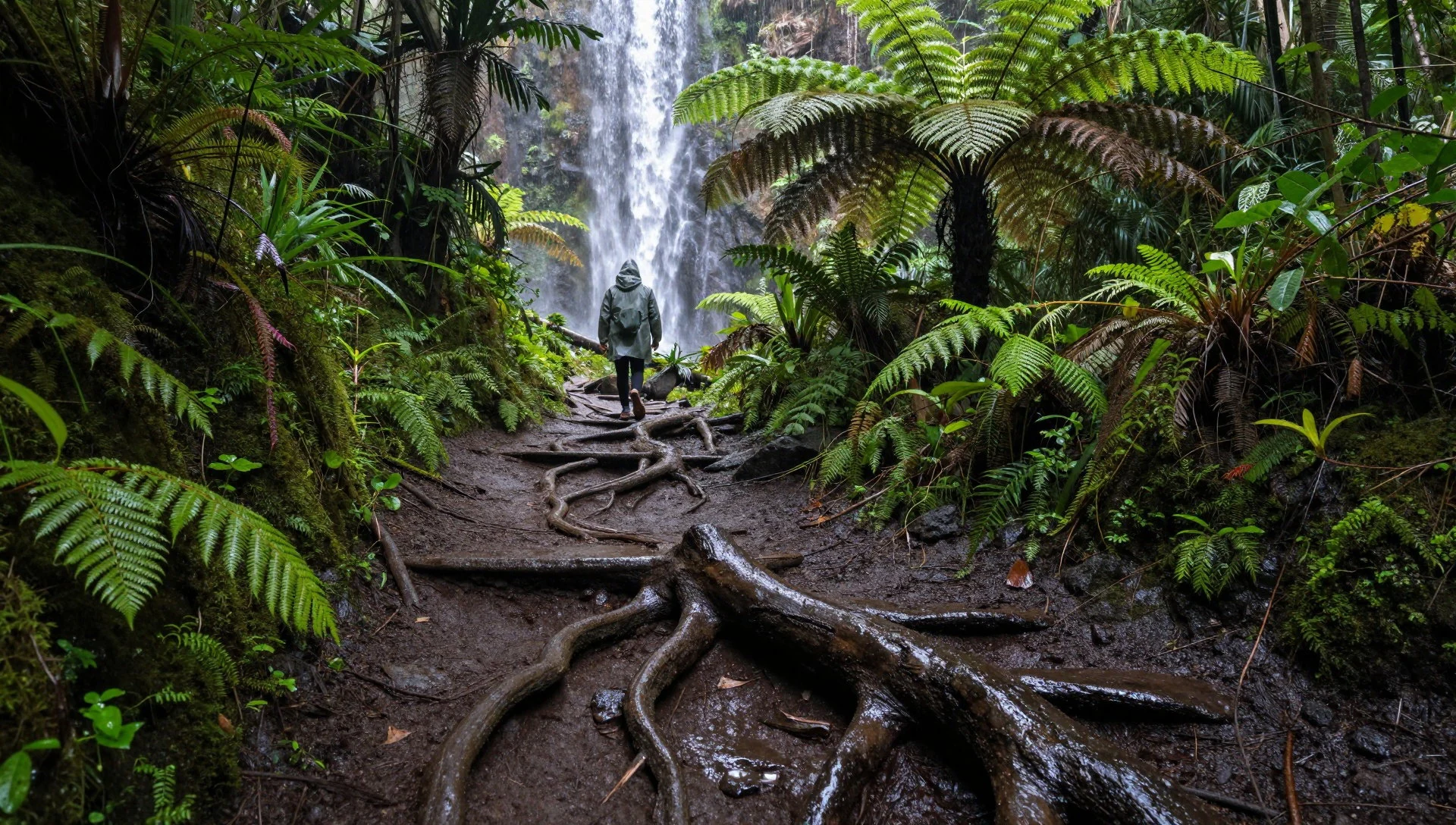
- Espíritu Santo Waterfall swimming spot — west side of the forest
Espíritu Santo is a popular waterfall and swimming spot on the west side of the forest, known for that classic “tropical dip” feeling. Don’t treat it like a lazy pool—water conditions change, and getting in and out needs care on slippery edges.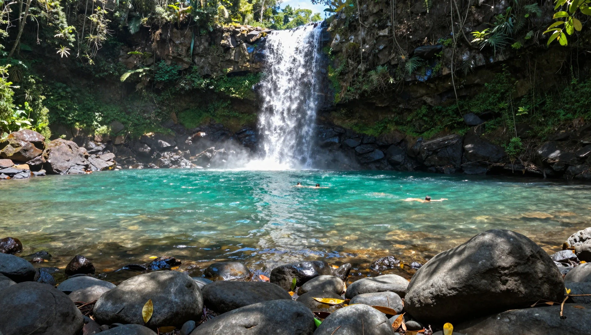
- El Yunque Art Gallery (Palmer area) — Palmer, near the main approach road
If the weather closes in, El Yunque’s Art Gallery offers a creative indoor breather without losing the local vibe. It’s a good complement to rainforest time, especially when you want something calm and dry before heading back toward the trails.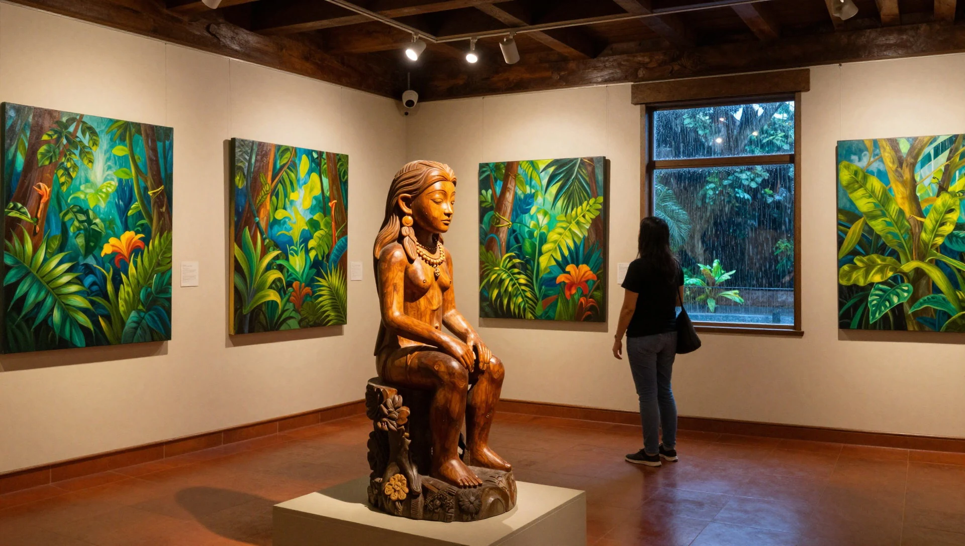
Culture
El Yunque National Forest is one of those places where the weather is part of the rules, not just background. Because it rains year-round, visitors often arrive carrying ponchos and then wish they’d brought proper footwear—wet trails and streams make slipping the main hazard. The forest also has plants that can sting if you brush the wrong leaves, so look where you step and keep hands off vegetation.
Culturally, the rainforest is not just a set of views; it’s also a protected natural area that people visit for recreation and learning. You’ll see a mix of hikers and day-trippers, with the busiest moments usually around the most accessible waterfalls and easier viewpoints. Early starts help: the forest feels calmer, and photos come out more realistically when the surfaces are freshly watered rather than crowded.
Practical mindset matters here. Camping can be unpleasant in constant rain, and camping is limited to designated areas, so plan for day trips or accommodation just outside the forest. Bring food because you won’t find proper restaurant service inside the rainforest, and treat water and snacks like trail essentials.
Visitor etiquette: keep to marked paths, use dry bags or sealed containers for your kit, and step carefully around plants to avoid painful stings.
What to wear
In El Yunque, clothing is mostly about staying comfortable on wet ground and coping with humidity, not about looking stylish. The traditional textiles and dress here aren’t central to visiting the forest, so what matters is practical local style: lightweight layers, rain protection, and quick-drying fabrics.
What people actually wear now around Puerto Rico tends to be casual—t-shirts, breathable tops, shorts or light trousers, and sandals or trail shoes depending on how active the day will be. For the rainforest, you’ll want proper footwear with grip because paths can be slick and muddy.
What visitors should wear: a light waterproof jacket or poncho, a spare dry top in your bag, and moisture-wicking socks. Long sleeves can help slightly if you’re spending time near vegetation where stinging plants exist. If you’re planning to swim near waterfalls, bring swimwear plus a change of clothes for after, and consider water-resistant footwear or sandals with secure straps.
If you’re visiting in hotter months, keep layers thin and airy; if you’re there at higher elevations, expect cooler air on exposed viewpoints. Either way, plan for rain to be constant enough that “umbrella” is less reliable than proper waterproof outerwear.
What to eat
- Picnic supplies before the rainforest — outside the rainforest, before you enter
Bring a packed meal or picnic food, because restaurants aren’t available inside El Yunque. A cooler with drinks and snacks makes a big difference once you’re on trails where you don’t want to keep turning back for supplies.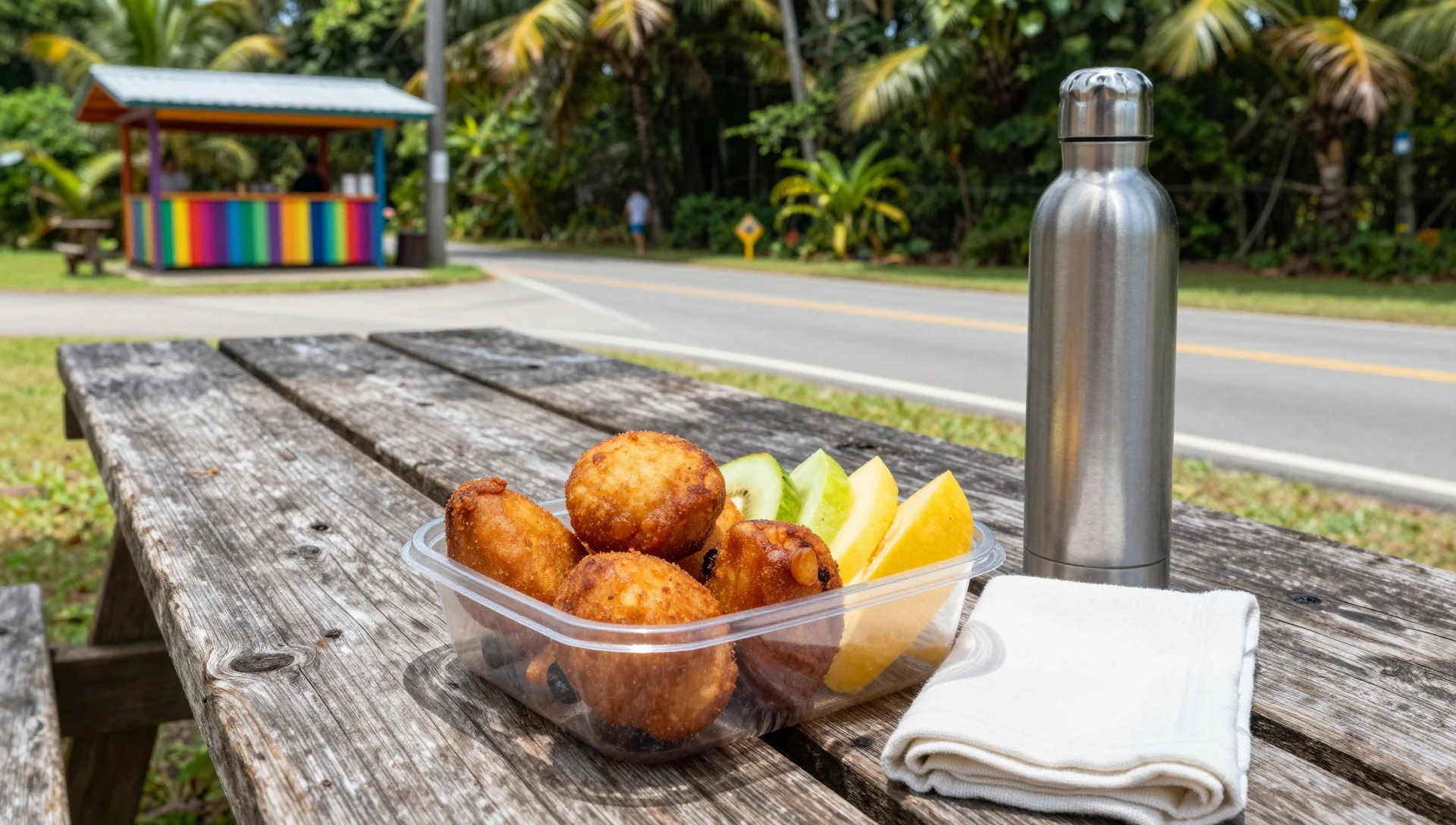
- Snacks and drinks at the forest’s access area — near the main access routes and gateway areas
For small refuels, pick up snacks and drinks near the approach areas before you move further into the green. Keeping water topped up helps because the hike effort and humidity can catch you out.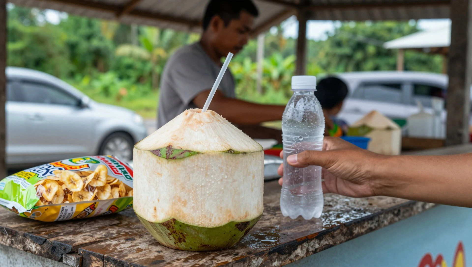
- Local lunch spots in nearby towns — towns at the base of El Yunque
Most proper meals happen at the foot of the rainforest, where you’ll find regular Puerto Rican restaurant options after a hike. It’s an easier plan than trying to eat on-site during unpredictable showers. - Market-style grab-and-go before day trips — local markets and everyday shops near San Juan–east routes
If you like flexibility, grab simple items at everyday food stores: fruit, sandwiches or ready snacks. It keeps your day on your own pace, especially when weather changes mid-plan. - Coffee- or bakery-style stops on the way — along the drive between San Juan and the forest approach
A warm drink and something sweet can feel like a reset after a wet hike. Plan stops along your driving route so you’re fuelling before the rainforest time rather than searching once you’re on trails.
Plan it
Best time. March–April and October–November are good shoulder options for comfort, but El Yunque rains year-round, so pack for showers any month.
How long. 2–3
Getting there. Fly into Luis Muñoz Marín International Airport (SJU) in San Juan, then drive east toward El Yunque; the trip typically takes about an hour, heading via Route 3 and then Route 191 through Palmer in Río Grande.
Budget. mid
Tips
- Start your hikes early to avoid the busiest times on popular trails and waterfall stops.
- Plan around rain: treat mist and short showers as normal, and keep a waterproof layer accessible.
- If walking trails, prioritise grip footwear and take it slowly on wet surfaces.
- Arrange the day around where you’ll be able to eat: bring food for inside the forest and plan meals outside it.
- Consider a rental car if you want flexibility for less accessible stops.
Etiquette
- Stay on marked trails and keep a steady footing around streams and slippery sections.
- Avoid brushing plants with unknown leaves—some can sting.
- Keep noise and litter to a minimum so the rainforest stays calm for everyone.
Nearby
Sources
- Wikidata Q2375961 (CC0)
- Wikipedia (El Yunque National Forest) (CC BY-SA 4.0)
- Wikivoyage (El Yunque National Forest) (CC BY-SA 4.0)
- Photo: Puerto Rico El Yunque 1 (CC BY 3.0)
- Photo: Top of El Yunque from the Yokahú Tower (CC BY-SA 2.0)

