Écrins National Park
Écrins National Park, France
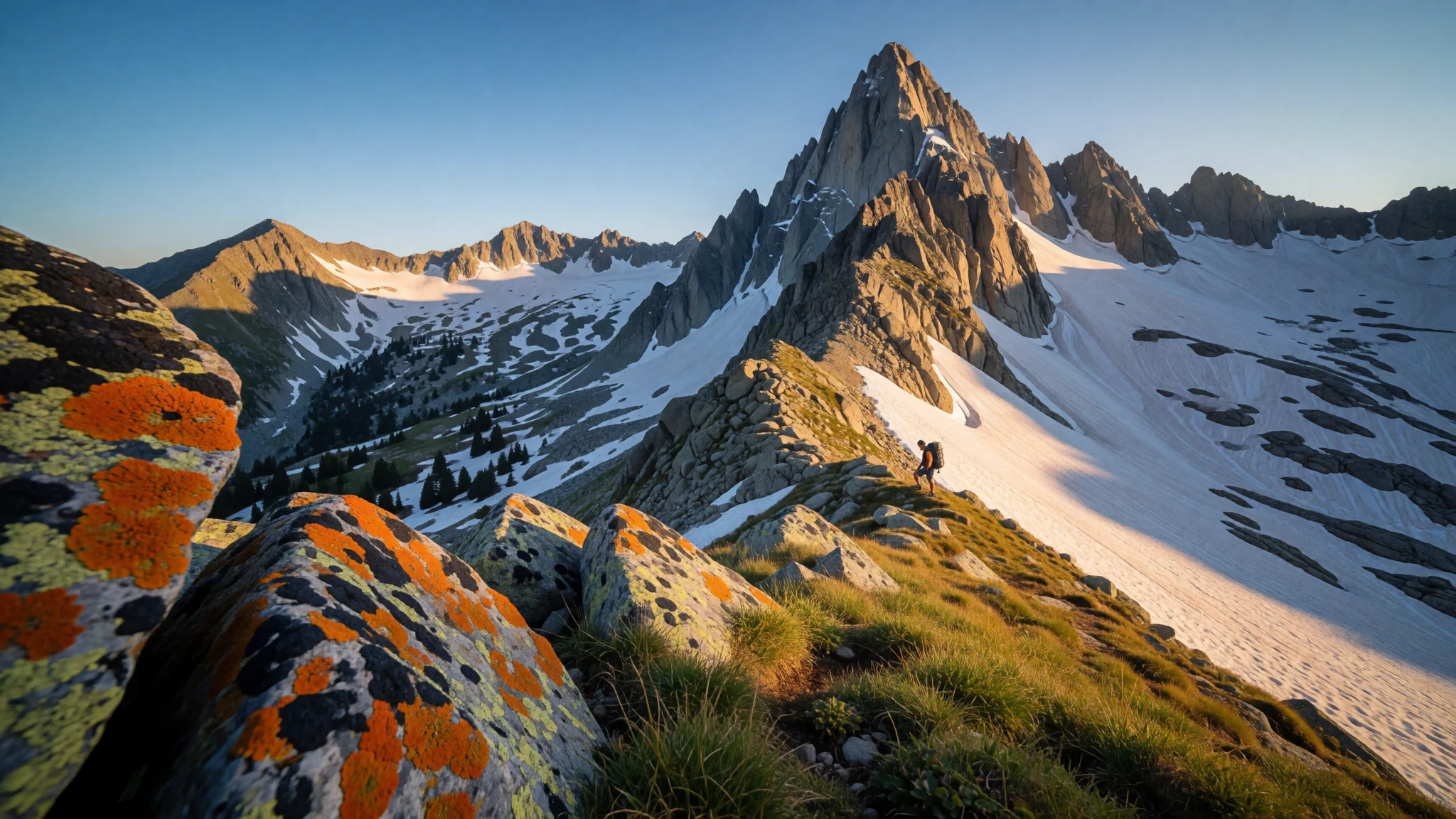
Écrins National Park blends glacier landscapes, high passes and mountain villages, with hiking at a scale that feels genuinely remote.
The place
Écrins National Park (French: parc national des Écrins) sits in the Dauphiné Alps in south-eastern France, straddling the departments of Isère and Hautes-Alpes. It rises from valleys into proper high-mountain terrain, with the Massif des Écrins forming much of its landscape. The park is shaped by major river valleys—Drac, Romanche and Durance (plus its Guisane branch)—so routes often follow water, switch back through side valleys, and open up suddenly onto plateaus.
What really defines Écrins is how many environments are packed into one protected area: glacier fields and glacier valleys, alpine pastures, subalpine woodland and small lakes. The park’s highest point reaches 4,102 m at the Barre des Écrins, and the overall area covers 925 km of high mountain territory. That mix is why hikers and climbers come in numbers and why the seasonality matters so much: snow lingers higher up, weather can change quickly, and paths can feel very different from one valley to the next.
Tourism is significant—up to 800,000 visitors in a year—with plenty of people arriving specifically for day walks, longer hikes and technical climbing. It’s not a wilderness with zero tracks; rather, it’s a large mountain playground where crowds concentrate around popular trailheads and access roads, while more work (time, altitude, route-finding) buys you quiet.
Its story
Écrins National Park is one of those places where the view improves because the ground keeps changing. Starting from the lower valleys in the south-eastern French Alps, the landscape gradually steepens: meadows and patches of woodland give way to rockier slopes, then to harsher terrain where snow and ice can still show up outside the peak summer weeks.
A typical day here often follows the logic of the Alps: you move from lift-off in a village area, start steadily climbing, and wait for the moment when the valley opens into something bigger—an expanse of pale stone, a ribbon of water, or a basin where lakes sit close to the cloud line. The park’s glacier character is a big part of the atmosphere; even when you’re not on an ice-related objective, you can read the past glacial work in the shape of the valleys.
Crowds are real, especially around classic routes and access points in summer. Early mornings help, but the other trick is to choose a route that doesn’t just mirror what everyone posts online. Even within the same park, the experience can swing from easy scenic walks to long, committing hiking. Plan for changing conditions, expect altitude to slow things down, and treat the day as a mountain day rather than a simple sightseeing loop.
By the time you return to the lower slopes, the sense of scale usually lingers: glaciers, glacier valleys, alpine pastures and woodlands all feeling like they belong to the same story.
What to see
- Lac du Lauvitel — Oisans region / high valleys
Lac du Lauvitel sits high in the Écrins landscape at about 1,530 metres. As a perched lake, it gives that classic ‘basin framed by slopes’ feeling that works brilliantly for a calm morning walk before foot traffic builds.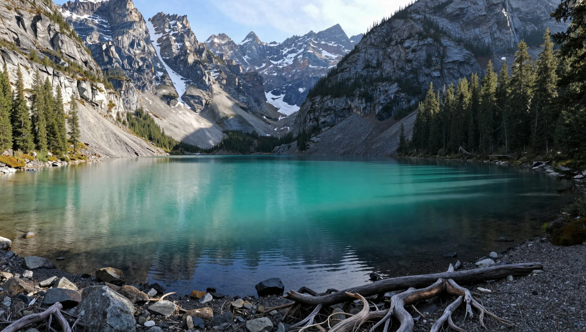
- Glacier d'Arsine — Glacial lake basins
Glacier d'Arsine is another of the park’s glacial settings, tied to the idea of change over time. It’s a landscape that rewards slow walking: rock, ice-influenced terrain and wide views tend to feel more meaningful the longer you stay.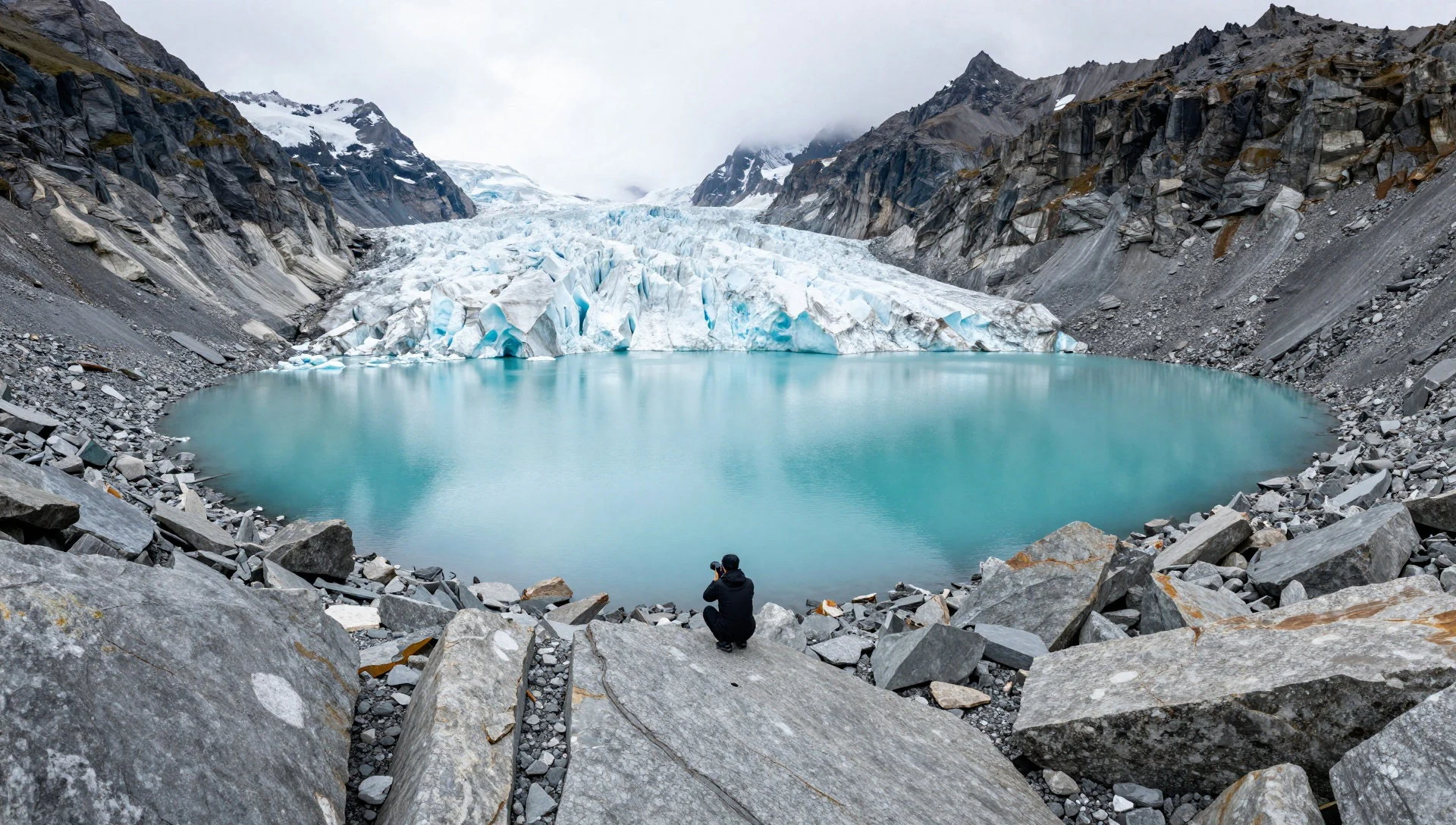
- Vallon du Sélé — Valley hiking routes
Vallon du Sélé is a valley that suits the ‘immerse rather than rush’ style of hiking. Think of it as moving through mountain geometry—side slopes, shaded sections and open stretches—until the light and the air make the whole place feel quieter than the trailhead suggests.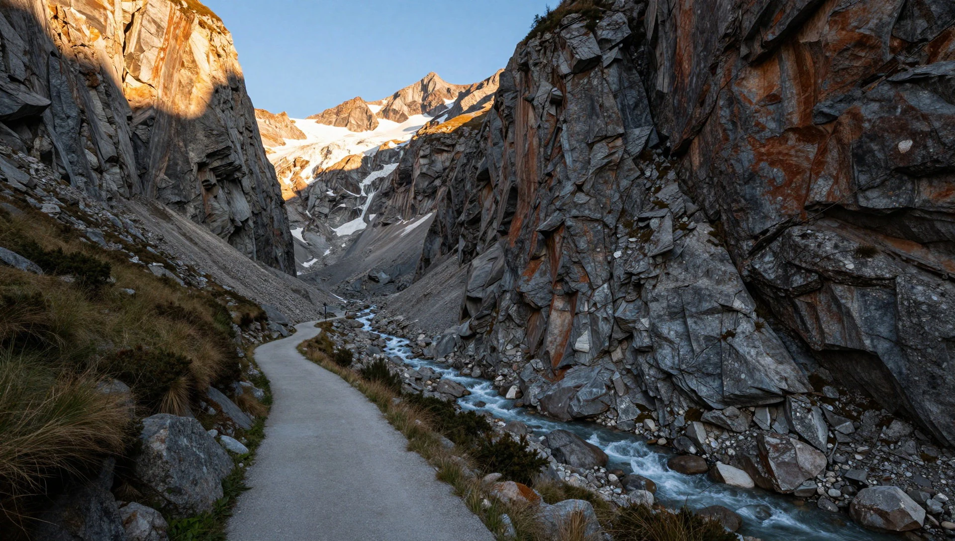
- Plateau d'Emparis (Lac Noir area) — Plateau country
The Plateau d'Emparis area gives a long, airy feel, with lakes and high-mountain colour that changes from morning to afternoon. It’s the kind of place where you can understand why people talk about patience and pacing on Alpine walks.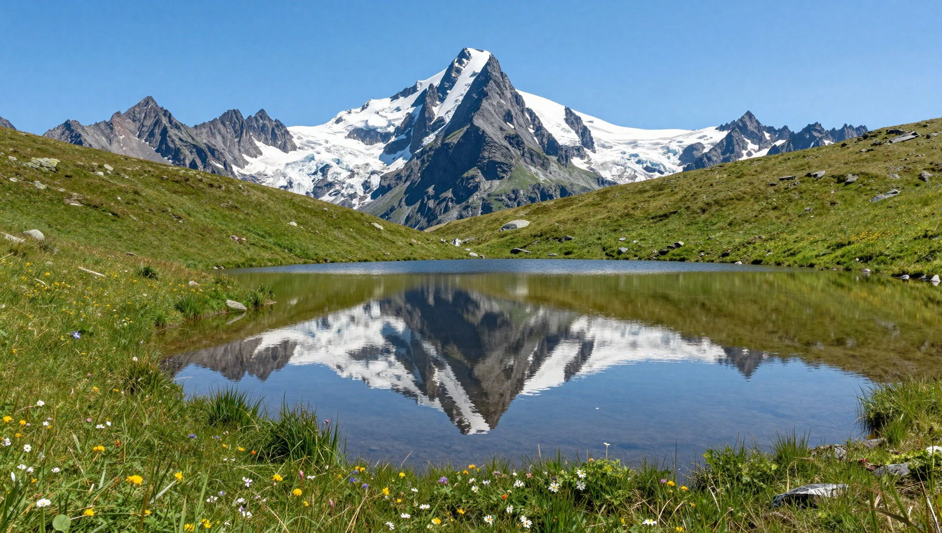
- Villar-d'Arêne viewpoints — Villar-d'Arêne / plateau above
Villar-d'Arêne offers an easy way to anchor your trip: start with village access and let the plateau views do the heavy lifting. The region around it tends to give a sense of stepping into the massif rather than just looking at it.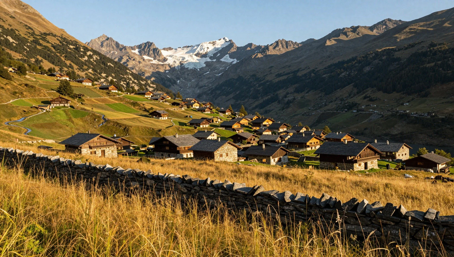
Culture
Écrins National Park is a working mountain landscape as much as it is a protected area. The sheer number of hiking routes—over 700 km of trails—means most visitors interact with mountain infrastructure like trail signage, huts or shelters in some places, and common valley access roads. During peak weeks, you’ll notice bottlenecks where everyone funnels through the same start points, and you’ll hear plenty of languages on the trail; a calm walk is still possible, but it takes timing.
Respect the mountain’s logic: don’t treat exposed slopes as shortcuts, and avoid cutting across wet meadows or fragile patches where routes can erode. If you’re heading higher up, remember that weather can shift fast in mountain terrain; that affects not just comfort but also safety and the day’s pacing. Also, keep in mind that wildlife and pasture life are part of the experience in many seasons, so quiet behaviour matters even when you’re outdoors and not in a formal ‘site’ setting.
Visitor etiquette: stay on marked paths, keep voices down near villages and pastures, and pack out everything you bring.
What to wear
For Écrins National Park, dress for altitude and fast-changing mountain weather rather than just the forecast. Even in comfortable seasons, mornings can feel cooler, and higher trails can bring wind and sudden cloud. Practical layers beat one big jacket: a warm mid-layer, a waterproof outer shell and moisture-wicking base make it easier to adjust as you climb.
Traditional Alpine dress exists in the region, but on the trails people mostly wear modern hiking gear—light trekking trousers or leggings for walking, sturdy footwear with grip, and gloves or a hat when the air turns sharp. In village areas near trailheads, you’ll still see locals in more traditional styles on certain days, but visitors should focus on comfort and weather readiness.
For religious or ceremonial spaces (if you detour into village churches/chapels on a stop), aim for modest coverage: shoulders and legs covered, and avoid very short or overly revealing outfits. Footwear is the big non-negotiable in the mountains: choose shoes or boots that handle rocky ground and potentially slippery sections. Bring a small daypack and don’t forget a hat and sunglasses—sun can be intense at elevation.
What to eat
- Restaurant Italian-style meals (e.g., La Galinette) — In-town restaurants around the park’s visitor areas
If you’re looking for something reliably comforting after a long walk, Italian-style restaurant meals are one option around the park. Order for warmth and energy: pasta, salads and simple mains work well when you’re tired and want an easy reset.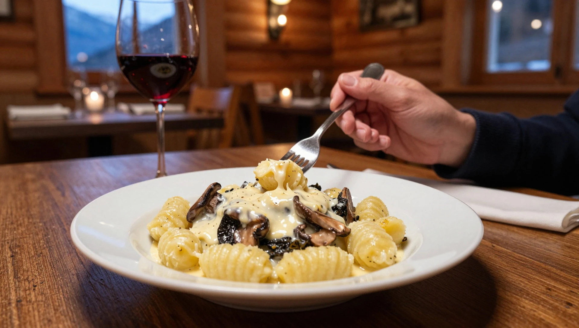
- Local bakery-style stop (near La Petite Fabrique)
A bakery or small eatery stop is often the easiest way to keep your energy steady between hikes. Grab something portable—breads and pastries—then treat it as a snack while you plan your next route or wait out weather.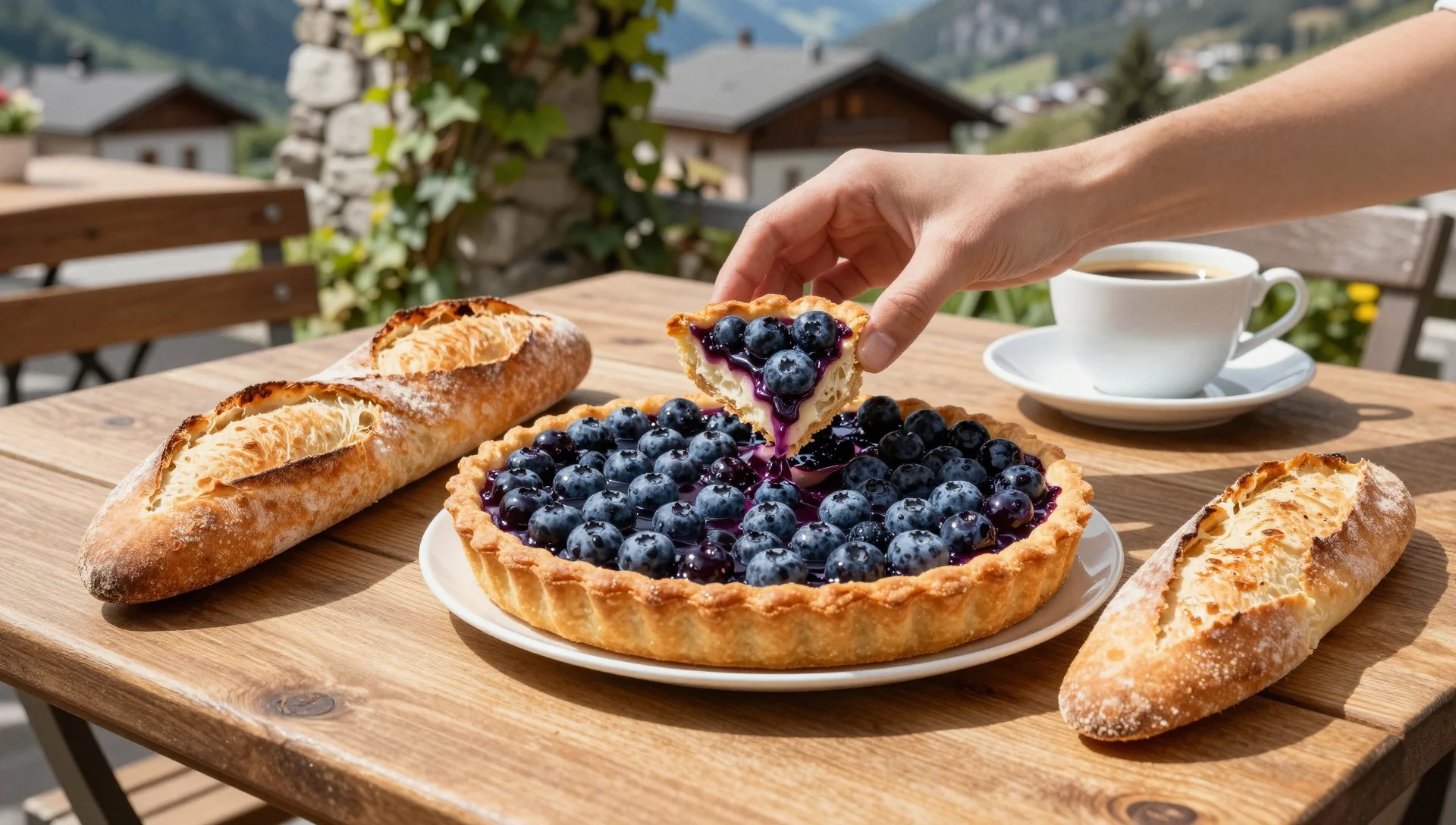
- Picnic supplies from local shops — Village shops and small stores before trailheads
For day hikes, pick up picnic basics from village shops: bread, cheese, cured meats, fruit and water. The point is to assemble something that won’t spoil quickly and that you can eat at your rest break without rushing. - Mountain refuge-style simple meals (where available) — Mountain huts and shelter areas along certain trails
Some routes involve huts and special shelters, where food tends to be straightforward and filling. Think hearty, practical dishes designed for hikers: hot meals and warm drinks that help you recover after altitude and wind. - Market browsing for snacks — Local markets in towns near main access valleys
On days when markets are on, snacks and ready-to-eat items can turn a transit day into a pleasant food stop. Look for regional produce and simple bites, then carry what you need for the next section of hiking.
Plan it
Best time. May–September for the most reliable hiking weather, with warmest conditions in August and generally lower rainfall than in the wetter months; October–November for cooler autumn walks, when the lower slopes can look their best. June can bring rainy conditions, and August is often hot and humid at lower elevations, with harsher weather risk still possible higher up.
How long. 3–4
Getting there. Drive in via the road access points, with one common entry route from the southwest via Chabottes; use that as your base for valley-to-valley hiking around the massif.
Budget. mid
Tips
- If you’re doing popular trails, start early to avoid the busiest foot traffic
- Build your days around valleys: follow river corridors so you’re less likely to fight route-finding
- Pack layers even when the day starts warm—conditions change quickly in mountain terrain
- Carry enough water for your planned distance, and include spares for higher, exposed sections
- If the weather turns, adjust plans; mountain days reward flexible itineraries
Etiquette
- Stay on marked paths and avoid cutting across fragile ground
- Keep noise down in villages and pasture areas
- Pack out all rubbish, including small items like wrappers and tissue
Nearby
Sources
- Wikidata Q476446 (CC0)
- Wikipedia (rev 1362954380) (CC BY-SA 4.0)
- Wikivoyage (rev 5423338) (CC BY-SA 4.0)
- Photo photos/01-villar-d-ar-ne-rif-de-la-planche-1975-m.jpg (CC BY 3.0)
- Photo photos/02-dreamy-wake-up-plateau-d-emparis.jpg (CC BY-SA 4.0)
- Photo photos/03-dscn1287-ecrins-park.png (CC BY 3.0)
- Photo photos/04-2017-07-cp-savines-11.jpg (CC BY-SA 4.0)
- Photo photos/05-2018-10-emc-refuge-s-l-03.jpg (CC BY-SA 4.0)
- Photo photos/06-camping-in-ecrins.jpg (CC BY-SA 4.0)
- Photo photos/07-des-biches-la-neige-rien-de-plus-beau.jpg (CC BY-SA 4.0)
- Photo photos/08-maison-du-parc-bourg-d-oisans-1.jpg (CC BY-SA 4.0)


