Doi Inthanon National Park
Doi Inthanon National Park, Thailand
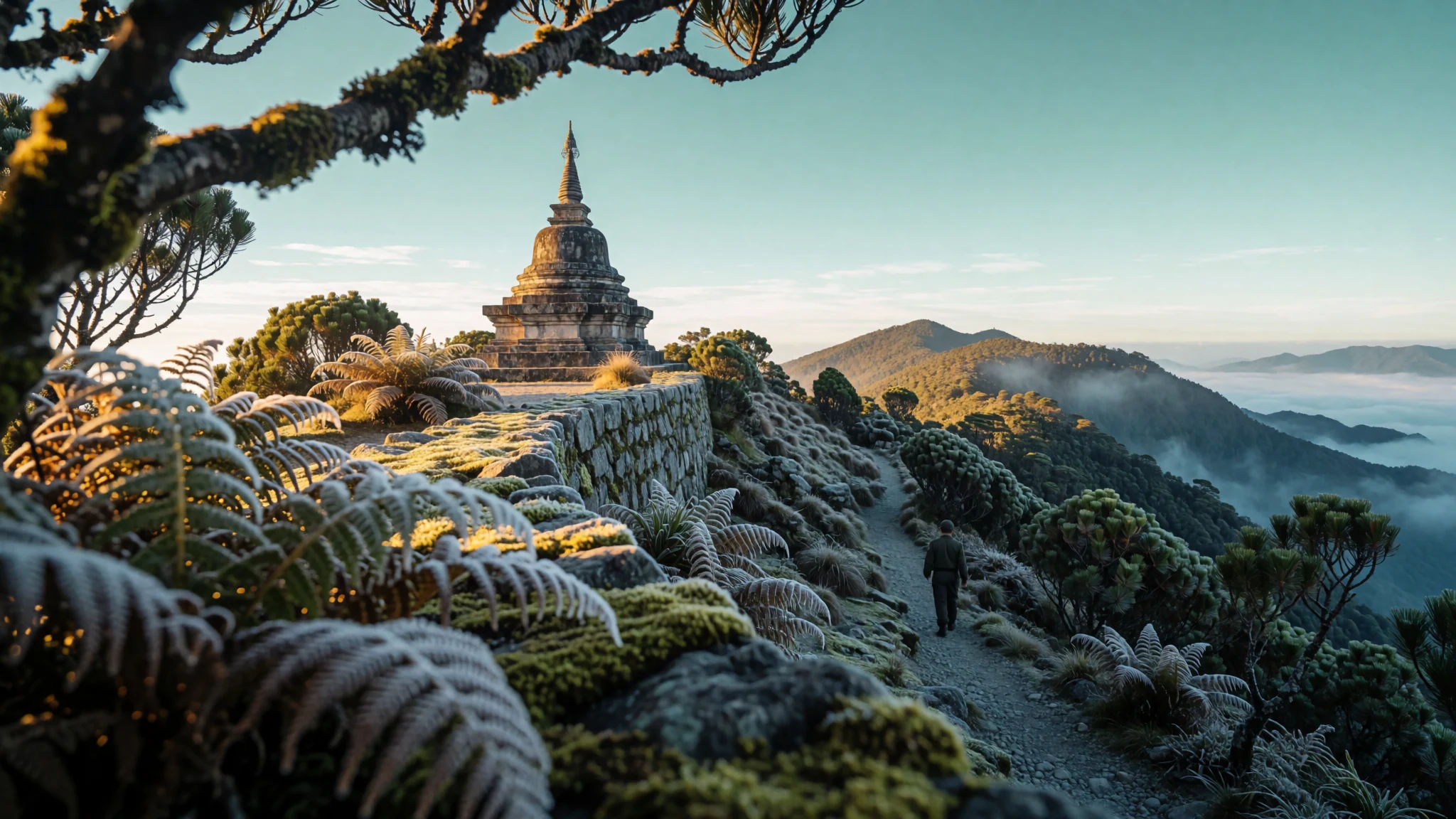
Thailand's highest mountain, cool forest air, waterfalls and hill villages, a two to three hour drive from Chiang Mai.
The place
Doi Inthanon National Park sits in the Thanon Thong Chai range in Chom Thong district, Chiang Mai Province, about 115 km from Chiang Mai city. Its nickname, the roof of Thailand, comes from the mountain at its heart: Doi Inthanon rises to 2,565 m and is the highest peak in the country, with the smaller Doi Hua Mot Luang at 2,330 m nearby. The park covers roughly 482 square kilometres, and its land runs from about 800 m up to the summit, so the lowland forest and the cloud-wrapped ridges feel like two different places.
That spread of altitude gives the park its variety. Lower slopes carry warm, seasonal forest with fast streams, while the upper ridges are cooler, mossy and quieter. Several waterfalls drop from the cliffs, including Mae Klang, Wachirathan, Siriphum and Mae Ya, and rivers that feed the Ping watershed run through the valleys.
People have lived here long before the park was drawn on a map. Karen and Hmong villages of around 4,500 people lie within the boundaries, and families farm the hillsides. Visitors often pass fields of temperate vegetables and flowers, a legacy of a royal development project that helped hill communities move away from opium.
The park is best treated as a set of separate outings rather than one long walk. The summit is a drive away, the waterfalls are scattered along the road, and the cool air up top makes even a busy day feel manageable.
Its story
Doi Inthanon National Park was declared in 1972, when a royal gazette notice made it the sixth national park in Thailand. Its boundaries were modified in 1978, as the protected area was adjusted to match the forest and the land around it. The mountain was valued long before it had any formal protection, and its high forests were already part of the lives of people living on its slopes.
The park's wider story owes much to King Inthawichayanon, the last king of Chiang Mai. He was concerned about the importance of forests and wanted to preserve them, and his stupa on the summit is a reminder of that concern. The national park drew on the same idea: keep the upland forest standing and the rivers flowing.
Protection did not end the pressures on the land. Many hill families had farmed the slopes for generations, and opium had been one of the few cash crops available to them. A royal development project begun in 1979 set out to help these communities grow temperate vegetables and other crops in place of opium, and trained them in modern agricultural methods.
Today the park is a mix of conservation, farming and tourism, with trails, waterfalls and a visitor centre, and with village communities still living at its edge. The balance between keeping the forest intact and supporting the people who depend on the land remains the central thread of its history.
What to see
- Doi Inthanon National Park Tourist Centre — Park headquarters area, lower slopes
The park's tourist centre sets out the wildlife and forest types found across the mountain, with displays on the animals that live in the area. Exhibits are simple but informative. It is a sensible first stop, giving context before the drive to the summit.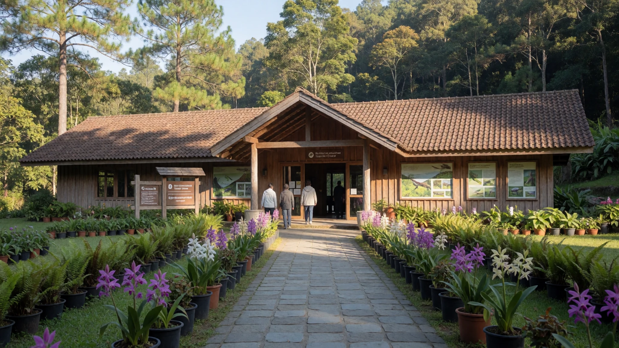
- Doi Inthanon Peak — Summit, Chom Thong district
The summit sits at 2,565 m, the highest point in Thailand, and is crowned by an air force radar station and a stupa dedicated to King Inthawichayanon, the last king of Chiang Mai. On clear mornings the views stretch across the surrounding ridges, though cloud often rolls in by midday.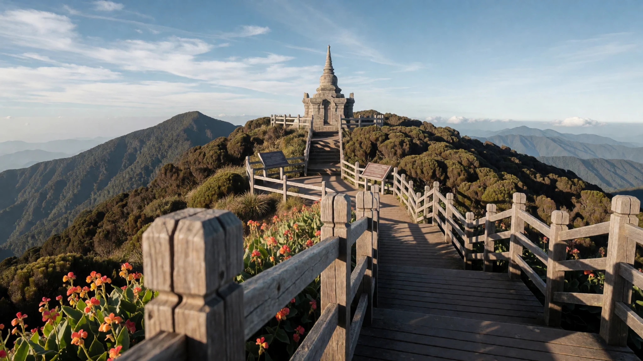
- Twin Pagodas (King and Queen Pagodas) — Near the summit road
Two pagodas, known as the King and Queen Pagodas, were built to commemorate royal birthdays of King Bhumibol Adulyadej and Queen Sirikit. Their setting is quiet, and they offer a calm place to see Buddhist architecture set among the forest.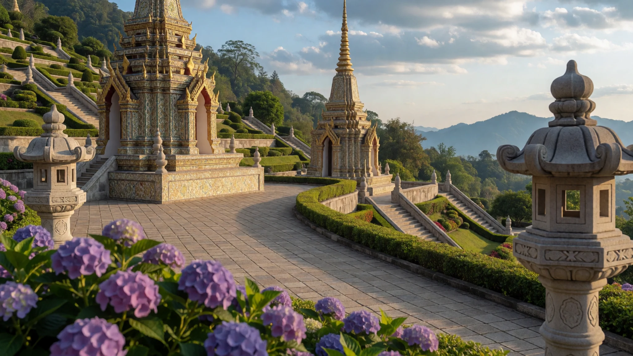
- Namtok Mae Ya — Lower slopes, Chom Thong district
Water drops about 280 m down a cliff before spreading over rock formations in a lower basin, falling like curtains of white water. The forest around it is dense and green, and the falls look most striking after rain.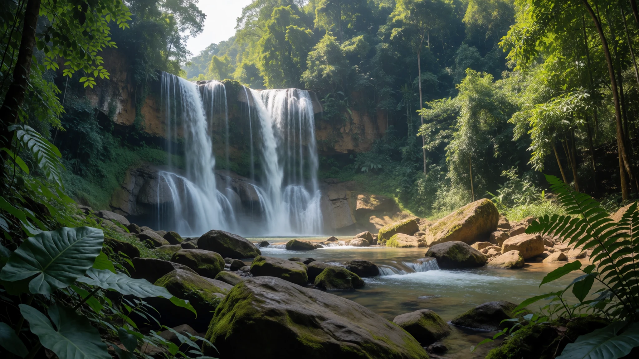
- Namtok Wachirathan — Along the main road to the summit
A large waterfall pours over the lip of a high cliff into a deep pool below. After heavy rain the splash in the basin throws up a cool spray, and the spot feels refreshing even in the heat of the day. The falls sit close to the road, so they make an easy stop on the way up or back down.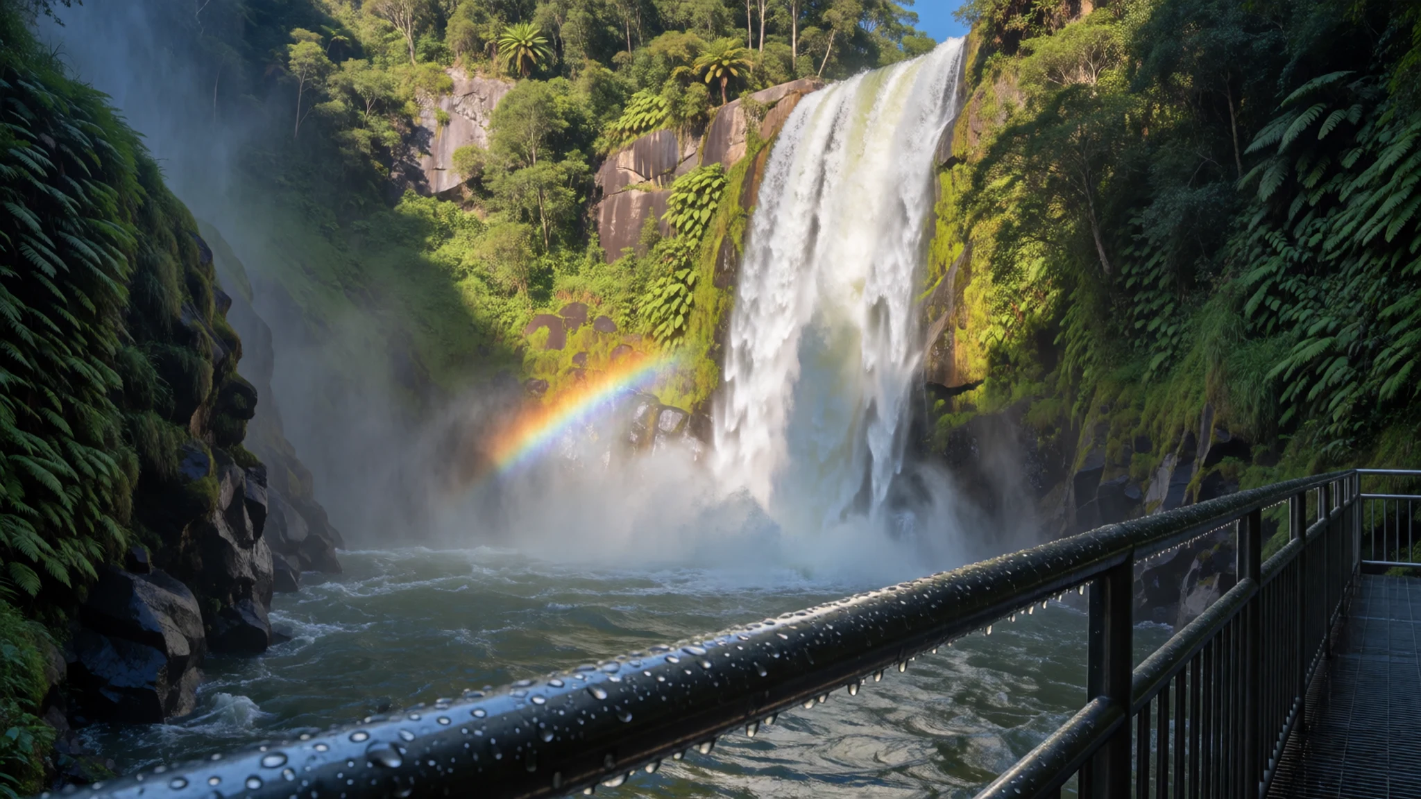
Culture
Doi Inthanon National Park is a working landscape as well as a protected one, and the Karen and Hmong communities who live inside its boundaries have their own customs, languages and household routines. Many villages sit on steep slopes where farming is hard work, so visitors should treat them as homes rather than attractions. The Buddhist monuments on the mountain, including the summit stupa and the twin pagodas, are places of worship and remembrance, and people climb their steps quietly and modestly. Buying a snack or a handicraft directly from a household is a fair way to contribute to local incomes, and a clear, friendly approach works better than hurried requests. Photographing people needs a clear yes first, and a smile and a gesture usually do more than a camera raised quickly. Keep the same care at the waterfalls, where litter and loud music spoil the setting for everyone. Ask before photographing villagers or their homes, and take your shoes off wherever a pagoda or stupa asks you to.
What to wear
Doi Inthanon National Park's traditional dress belongs to the hill communities who live within its boundaries, and it is most visible at festivals and in the villages rather than on the road. Karen women have long worn woven cotton skirts and blouses, often decorated with bands of colour and finished with beaded jewellery and silver. Hmong dress is known for embroidery and batik-dyed indigo cloth, with pleated skirts and layered aprons. The garments are made from home-grown cotton and other plant fibres, and the patterns carry family and village identity.
Day to day, most people in the villages wear ordinary Thai and Western clothing such as T-shirts, jeans and fleece jackets, keeping the traditional costume for ceremonies and special days.
Visitors should dress for altitude and terrain. Temperatures can drop sharply near the summit, so pack a warm layer and a light waterproof even in the dry season. Closed walking shoes or trainers suit the steep, sometimes wet paths, and a hat and sunscreen help on the open ridges. For the pagodas and any temple, cover shoulders and knees and carry a shawl to wear over shorts or sleeveless tops. Light, breathable clothing works well in the heat near the lower waterfalls.
What to eat
- Khao soi — Morning eateries in Chom Thong
A coconut-milk curry noodle soup with crisp fried noodles on top, and the dish most people in Chiang Mai will name first. On the drive up, look for it at morning eateries in Chom Thong, where bowls are ready before the mountain traffic starts.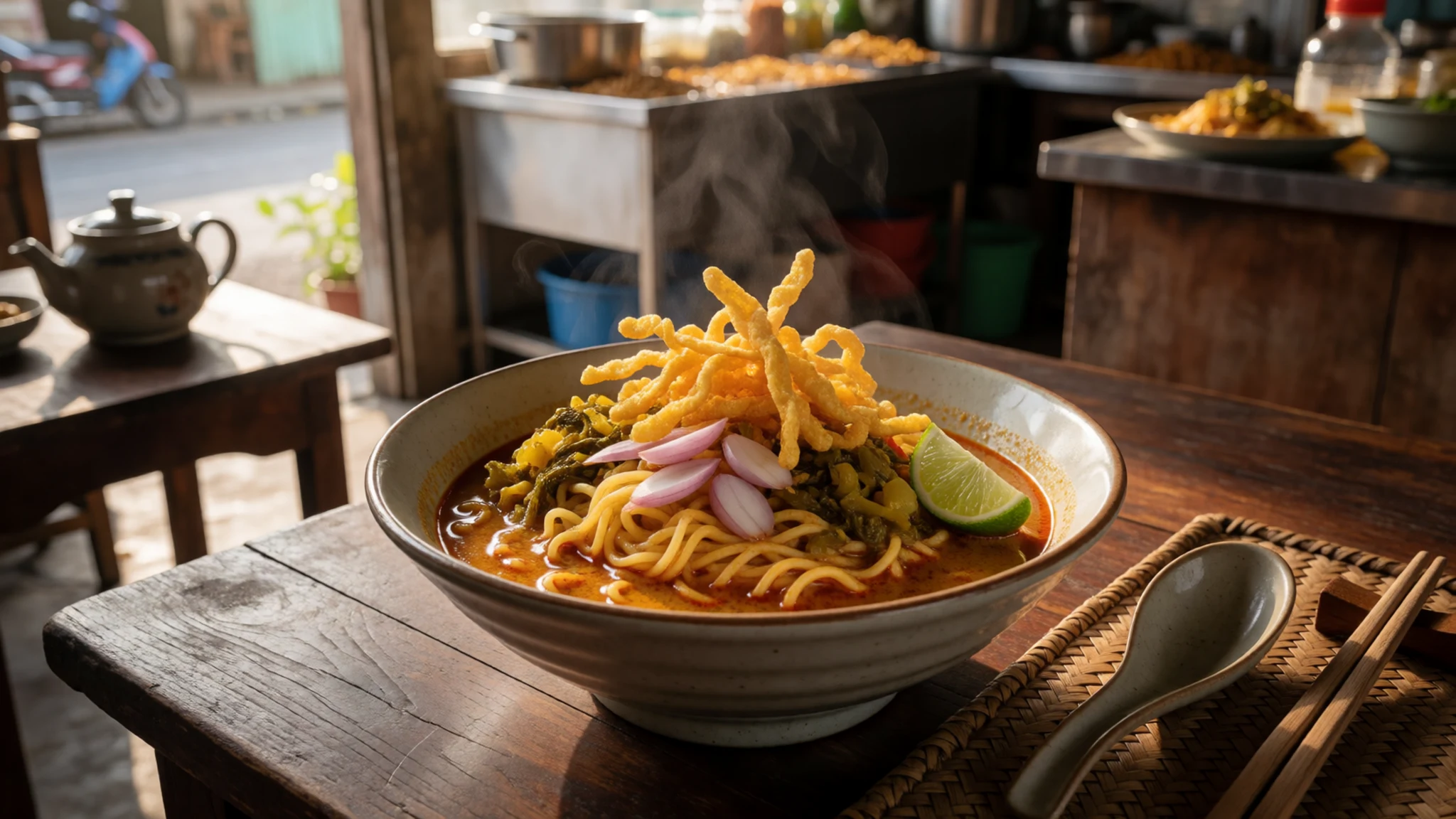
- Sai ua — Roadside stalls near the park headquarters and in Chom Thong
A northern Thai pork sausage packed with lemongrass, herbs and chilli, grilled over charcoal until the skin blisters. Stalls in the park headquarters area and in Chom Thong sell it by the stick, usually with sticky rice and raw cabbage on the side.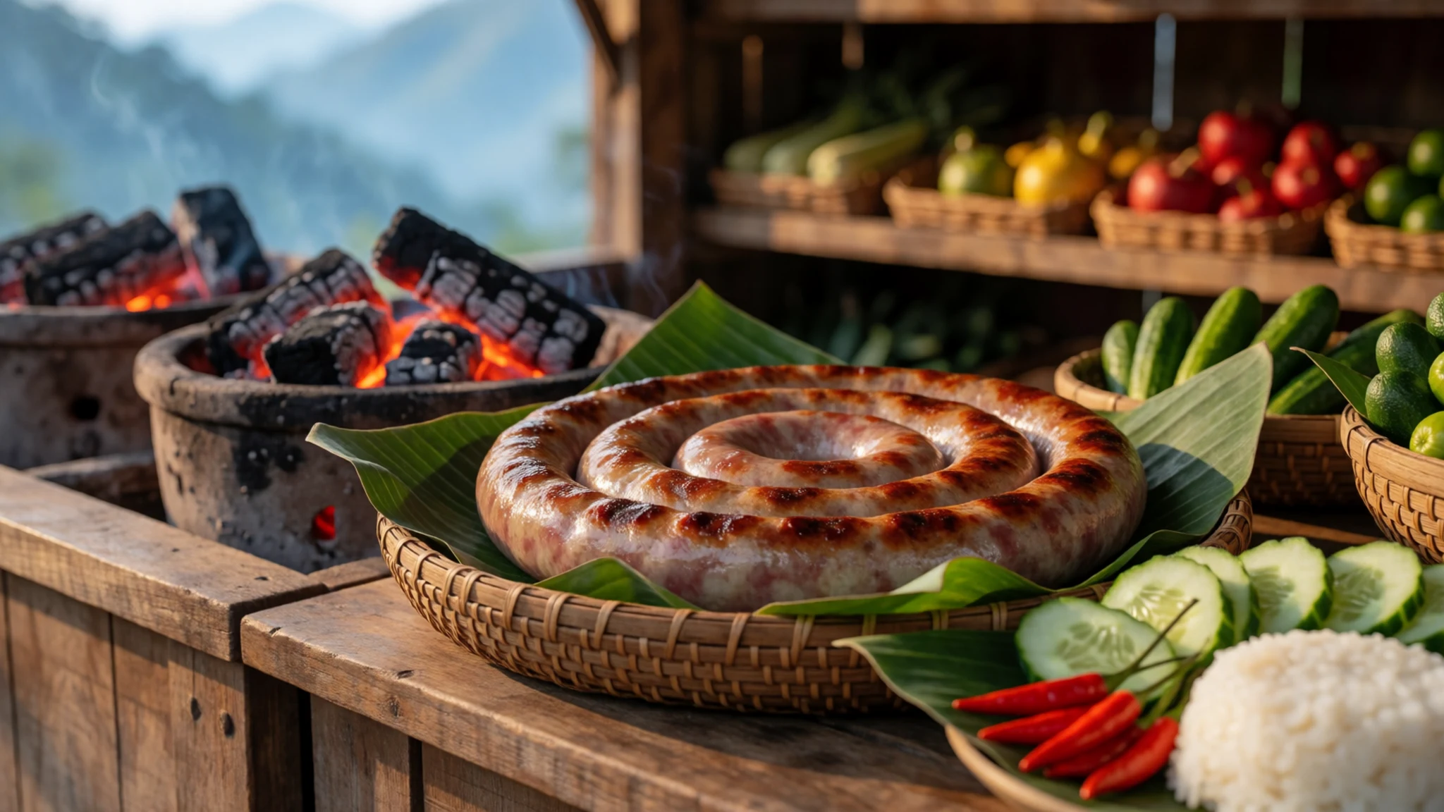
- Kai yang with sticky rice — Evening food stalls in Chom Thong
Chicken marinated in garlic, coriander root and pepper, grilled slowly until the skin is glossy and charred at the edges. It arrives with sticky rice and a sweet-sour dipping sauce, and it is easy to find at evening food stalls in Chom Thong. - Nam prik ong — Any morning market in Chom Thong district
A tomato and minced pork chilli dip, sweetened slightly and eaten with raw and blanched vegetables and crisp pork skin. Bought at any morning market in the district, it makes an easy lunch to carry up the mountain.
Plan it
Best time. December to February is the cool, drier stretch and the most comfortable for walking and views. March and April are hot and hazy in the lowlands, and the rainy months bring fuller waterfalls but frequent cloud on the summit and slippery trails.
How long. 2–3
Getting there. Fly into Chiang Mai, then drive about two to three hours to the park. The last leg climbs from Chom Thong on a steep, good asphalt road, so a car in good condition or a pre-booked songthaew is the practical choice.
Budget. mid
Tips
- Book a songthaew or a minibus tour direct with the operator, and agree the stops before you set off
- Start early for the summit, when the air is clearer and the crowds are smaller
- Carry cash for the entrance fee, food stalls and small village purchases
- Pack layers, since the summit is markedly colder than Chiang Mai
- If you want sunrise on the peak, consider staying at the park headquarters, and reserve in advance
- Bring plenty of drinking water, especially for the walks to the waterfalls
Etiquette
- Respect Karen and Hmong villages and ask before taking photographs
- Keep to marked paths and take litter back down the mountain
- Keep voices low at the pagodas and the summit stupa
Nearby
Sources
- Wikidata Q656576 (CC0)
- Wikipedia, Doi Inthanon National Park (rev 1374700457) (CC BY-SA 4.0)
- Wikivoyage, Doi Inthanon National Park (rev 5383360) (CC BY-SA 4.0)
- Photo: Doi Inthanon, View of the mountains, Thailand (Vyacheslav Argenberg) (CC BY 4.0)
- Photo: Park signage, Doi Inthanon National Park (Swhemma) (CC BY 3.0)
- Photo: Pin of the highest point of Thailand (Z3144228) (CC BY-SA 4.0)
- Photo: Wachirathan Waterfall (Z3144228) (CC BY-SA 4.0)
- Photo: Subtropical semi-evergreen seasonal forest (Adbar) (CC BY 3.0)
- Photo: Cethosia biblis, Doi Inthanon (JJ Harrison) (CC BY 3.0)
- Photo: Green-tailed Sunbird, Doi Inthanon (JJ Harrison) (CC BY 3.0)
- Photo: Viewpoint at km 41 of the Chom Thong–Doi Inthanon road (BerryJ) (CC BY-SA 4.0)


