Dingle Peninsula
Dingle Peninsula, Ireland
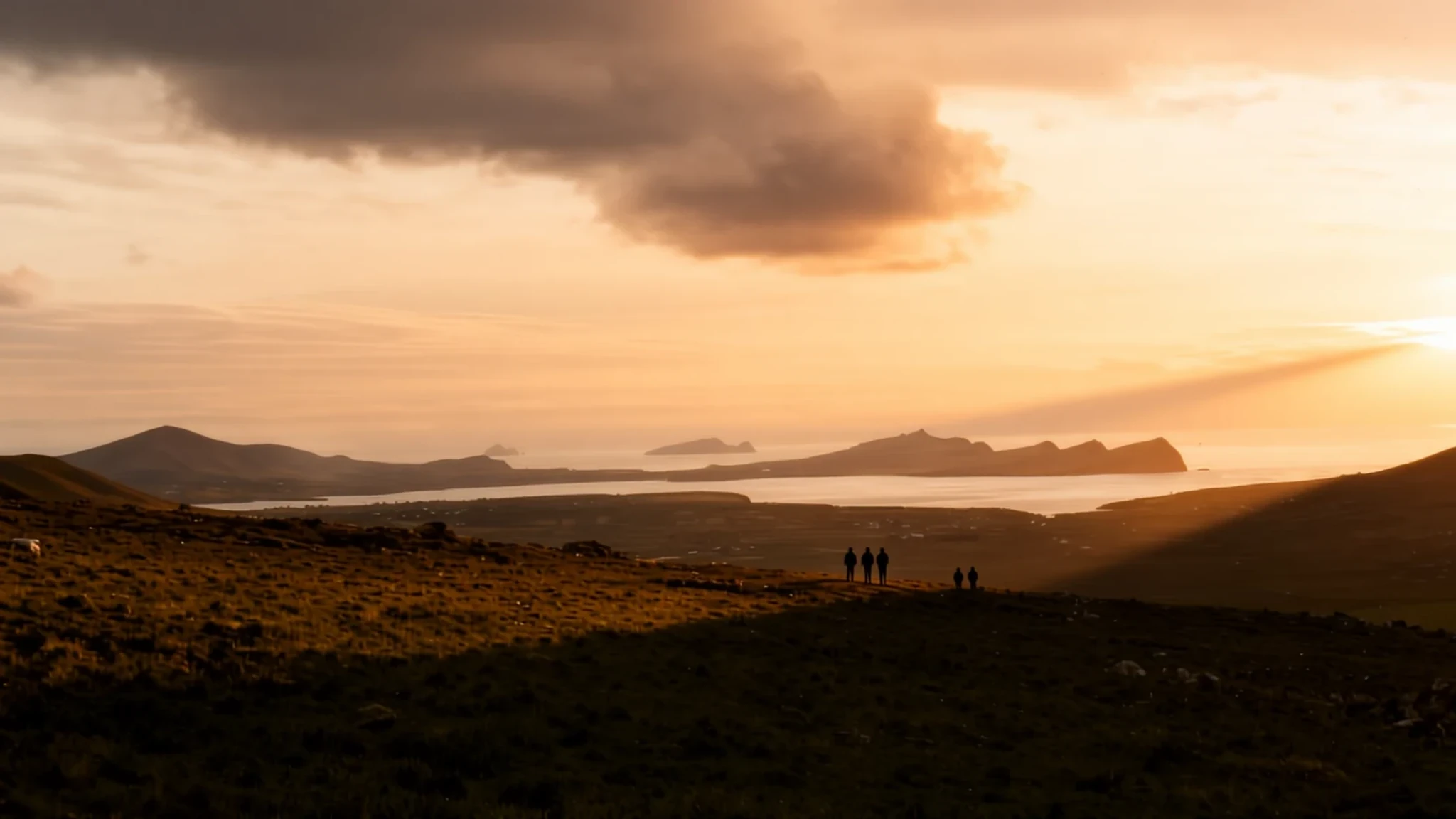
Wild Atlantic cliffs, a Gaelic-speaking heartland and a harbour dolphin's legacy make Dingle a peninsula worth a slow week.
The place
The Dingle Peninsula, known in Irish as Corca Dhuibhne, sits in County Kerry on Ireland's south-west edge. Dingle Bay separates it from the Iveragh Peninsula to the south, and its western tip ends at Dunmore Head, the most westerly point of mainland Ireland. The land is shaped by sandstone ridges. The Slieve Mish range runs along its neck, while the Brandon group and the central mountains fill the western half. Mount Brandon, at 951 m, is the highest peak in that group, and its ridge gives wide views over the peninsula and the north of Kerry. The road over Conor Pass, the highest mountain pass in Ireland, is a dramatic drive past cliffs and high corrie lakes. Many visitors arrive for the pubs and the harbour, but the real draw is the open ground: small fields, stone walls, and a coastline that changes every few miles. Dingle town is the one busy base, with shops, restaurants and music in the evenings, and almost everything else is a drive, a walk or a boat ride away. Off the western coast lie the Blasket Islands, empty since their last residents were moved off, which gives the far end of the peninsula a quiet, unsettled feel.
Its story
The Dingle Peninsula has long been shaped as much by people at its edges as by its centre. The west was the Irish-speaking heartland, and the Blasket Islands off its coast became known for memoirs and stories written by islanders in Irish, many later translated and read far beyond Kerry. The islands were evacuated, and nobody has lived there since, so the empty cottages and the boat crossings now belong to walkers and boatmen rather than families.
Dingle town's most famous resident was not human. Fungie, a male Atlantic bottlenose dolphin, took up residence in the harbour and stayed for decades. He was not part of a pod. He came to the quay and swam alongside boats, and he approached swimmers and kayakers too, though he was never aggressive. His presence helped launch a dolphin-watching trade along the coast at a time when such trips were rare in Irish waters, and visitors came to the harbour hoping for a glimpse. He disappeared in the last autumn of his long life and is presumed dead. A plaque at the harbour now marks him.
The peninsula's past also holds hardship. The Famine years left deep marks, and the old workhouse burial ground north of the town holds thousands of people who died there. Walking the lanes today, you pass reminders of that hardship alongside the boats, the music and the seafood, and the mix is part of what makes the place feel lived in rather than staged.
What to see
- Dunmore Head — Far west of the peninsula, off the Slea Head road
Dunmore Head is the westernmost point of mainland Ireland, a windy headland at the far end of the peninsula, reached from the Slea Head drive. From the edge you look out over the Atlantic, and on a clear day the Blasket Islands sit offshore. Bring a windproof layer, even in summer, and keep well back from the cliff edge in gusts.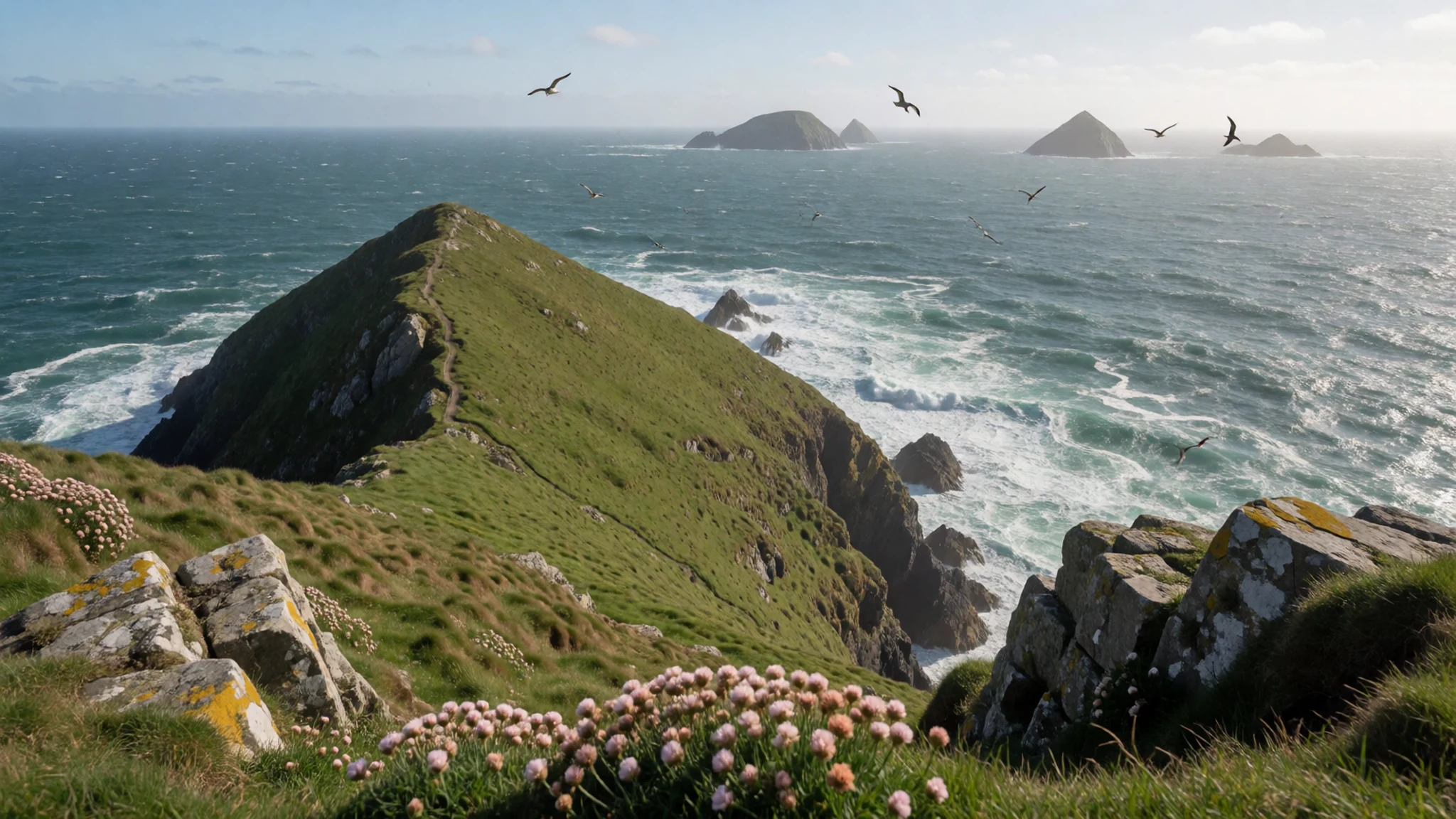
- Ballingtaggart Ogham Stones — On the edge of Dingle, by the racecourse
The Ballingtaggart Ogham Stones stand in an enclosure near the racecourse outside Dingle. Eight inscribed stones form a circle, with a ninth set in the centre. They are grave markers from the fifth and sixth centuries, carved in ogham, one of Ireland's early writing systems. Walk in quietly, and look at the inscriptions without leaning on the stones.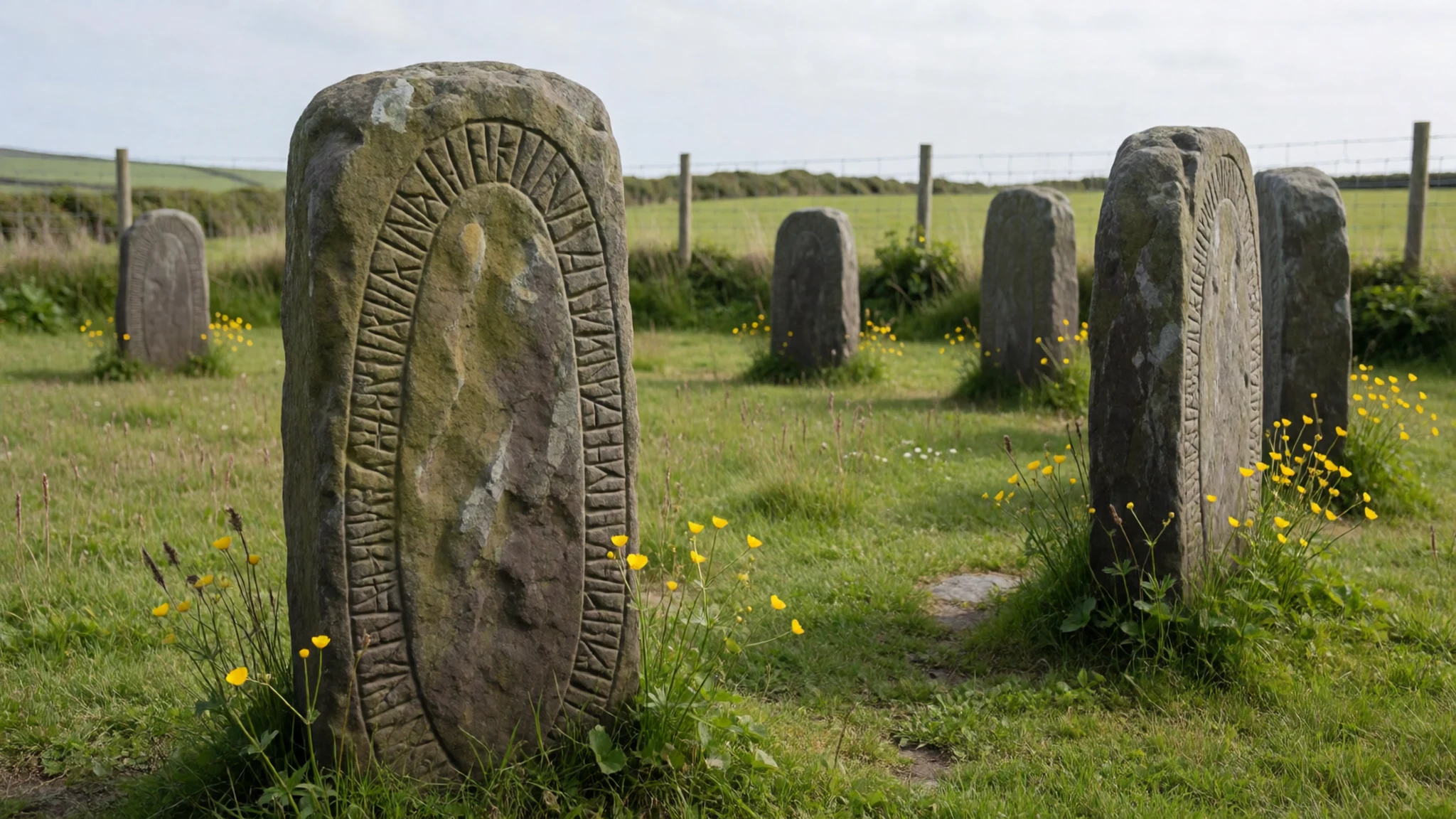
- Eask Tower — Carhoo Hill, above Dingle
Eask Tower stands on Carhoo Hill, a stone day-mark that helps sailors line up on the route into Dingle Harbour. Built in 1847 as famine relief work, it was also meant to win converts, which it did not. The tower is about 10 m tall. Walk up from Ballymeenbocht on a clear day for the views; the landowner may ask for a small fee.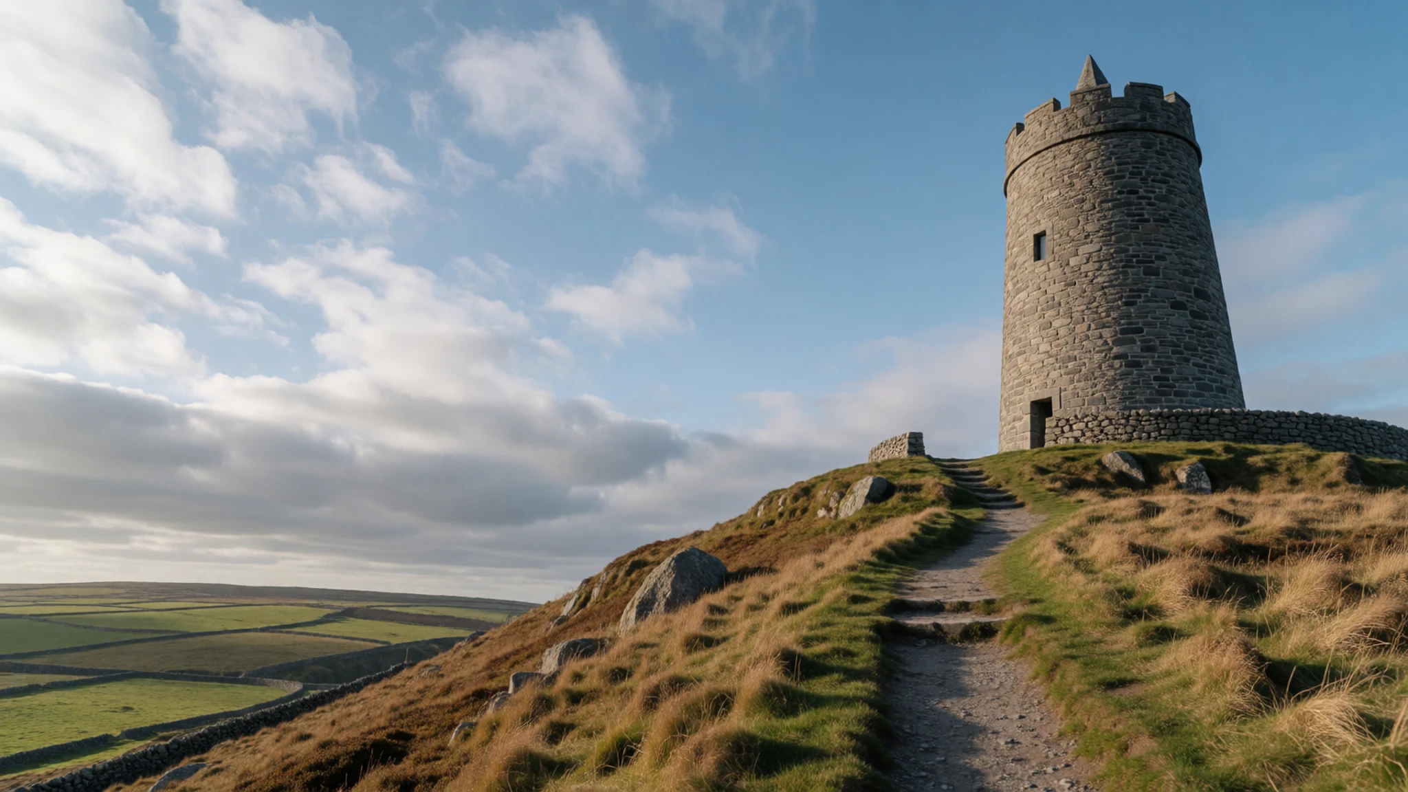
- Gallaunmore standing stone — East of Dingle, beside the N86
Gallaunmore is a standing stone about 3 km east of Dingle town, reached along the N86 road that runs across the south side of the peninsula. Standing stones like this are prehistoric markers whose purpose is still debated, so form your own view. Pull in carefully, since the road carries heavy traffic and tour coaches.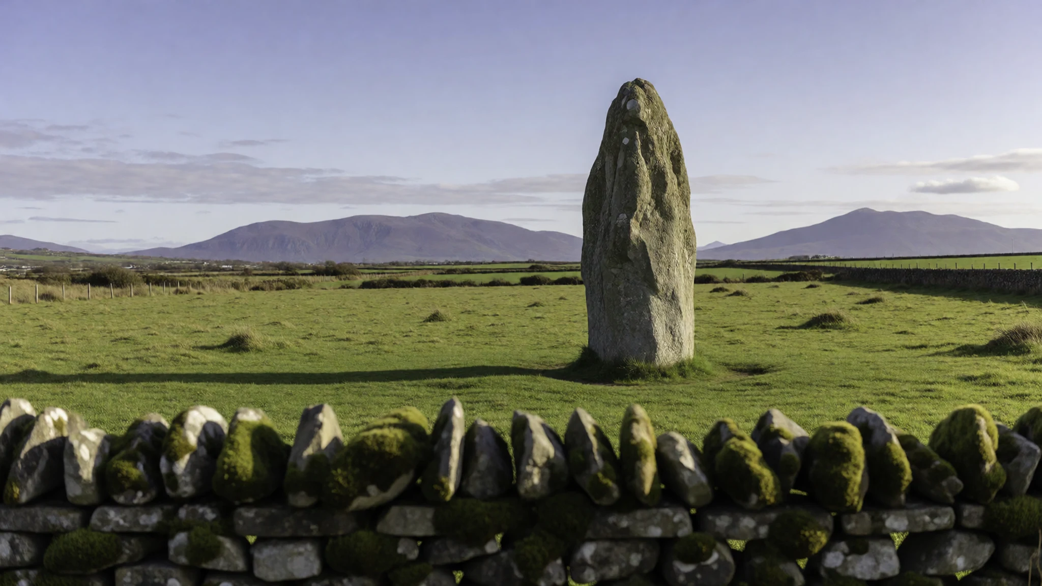
- Oceanworld Aquarium — In Dingle town itself
Oceanworld Aquarium is a large aquarium with a walk-through tunnel and touch pools. Its residents include sharks, penguins, reptiles and otters, which makes it a sensible choice on a wet day or with children. Check the official website for opening times and prices before you go, since these change.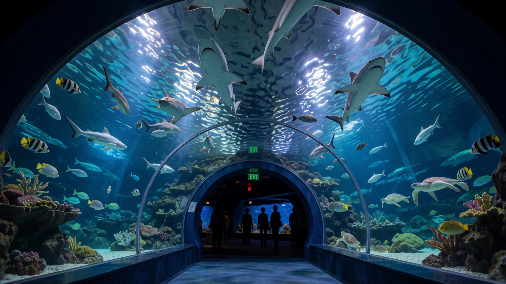
Culture
Dingle is one of the strongest places in Ireland for the Irish language. The Gaeltacht, the districts where Irish is the everyday language of many households, reaches across the western half of the peninsula, and you will see road signs and shop names in Irish with English beneath. Locals move between the two without thinking, and a few words of Irish at a shop or pub are warmly received, though nobody expects them.
Music is the other constant. Traditional sessions happen in pubs most evenings. They are informal: musicians sit together, play tunes in turn, and the room goes quiet while a tune is on. Join in by listening, buy a drink, and applaud at the end.
Religion is part of the fabric too. St Mary's is an active Catholic church, so go inside quietly and sit only in the seats at a service. The graveyards, including the Famine burial ground, are places of memory rather than viewpoints.
Life here runs on farms and fishing, and many roads are single-track with passing places. Pull into a passing place to let a car through, and raise a hand in thanks, which is normal practice. Keep to the marked paths on the cliffs, leave gates as you find them, and step into a passing place rather than making a car reverse.
What to wear
Traditional dress in this part of Kerry was practical rather than ornamental. Wool was the core material: heavy frieze and tweed for coats and trousers, shawls for women, and hand-knitted jumpers that kept fishermen warm on the water. Aran-style knitwear, with its cabled patterns, is sold across the peninsula, though it comes from the islands off Galway rather than from Kerry, and that origin is worth knowing before you buy.
What people wear now is much the same as anywhere in rural Ireland and its towns. In Dingle you will see waxed jackets, wool jumpers, sturdy boots and jeans, with a little more colour in the evening pubs. Musicians tend to dress for comfort, and nobody dresses up for a session. The best-dressed people on a wet day are often those with the best rain gear.
For a visit, the weather matters more than fashion. Pack a waterproof jacket, a warm mid-layer that works in wind, and shoes with grip for wet paths and rocky ground near the cliffs. Summer days can feel mild, but a gust off the Atlantic will cool you quickly. Churches ask only for modest, tidy clothing, and a hat is useful on the exposed headlands.
What to eat
- Seafood chowder — A cosy restaurant in the town centre
A creamy seafood chowder, thick with fish and shellfish, is the dish most visitors ask for in Dingle. It is often served with brown bread on a cold afternoon, and the best bowls come from the cosy restaurants in the town centre, where the kitchen is calmer early in the evening.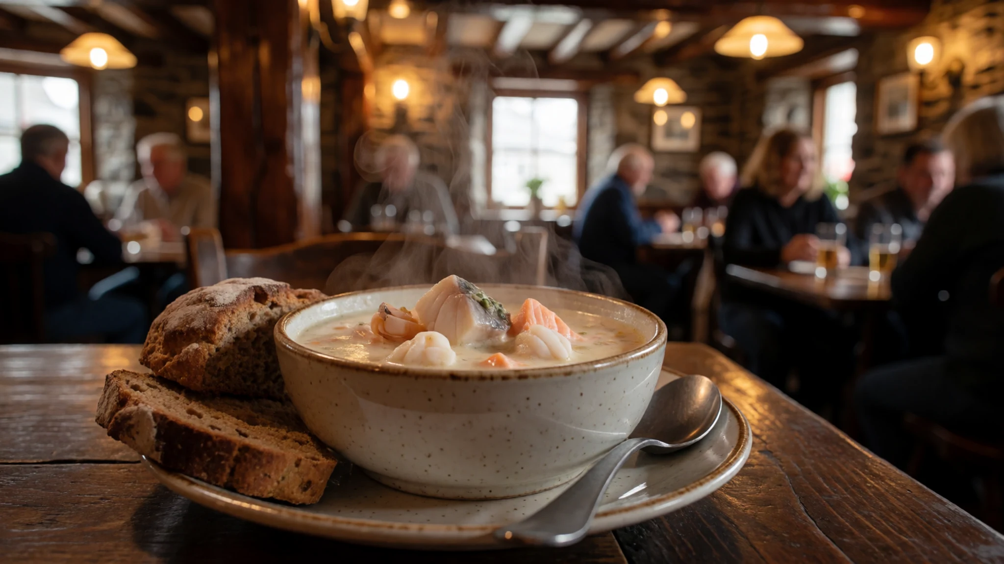
- Fish and chips — A takeaway on the harbour front
Fresh fish, usually cod or haddock in a crisp batter, comes with chips in paper from a harbour takeaway. Eat it on the pier or the harbour wall, where the gulls are part of the experience. Some takeaways queue at lunchtime, so allow a little time.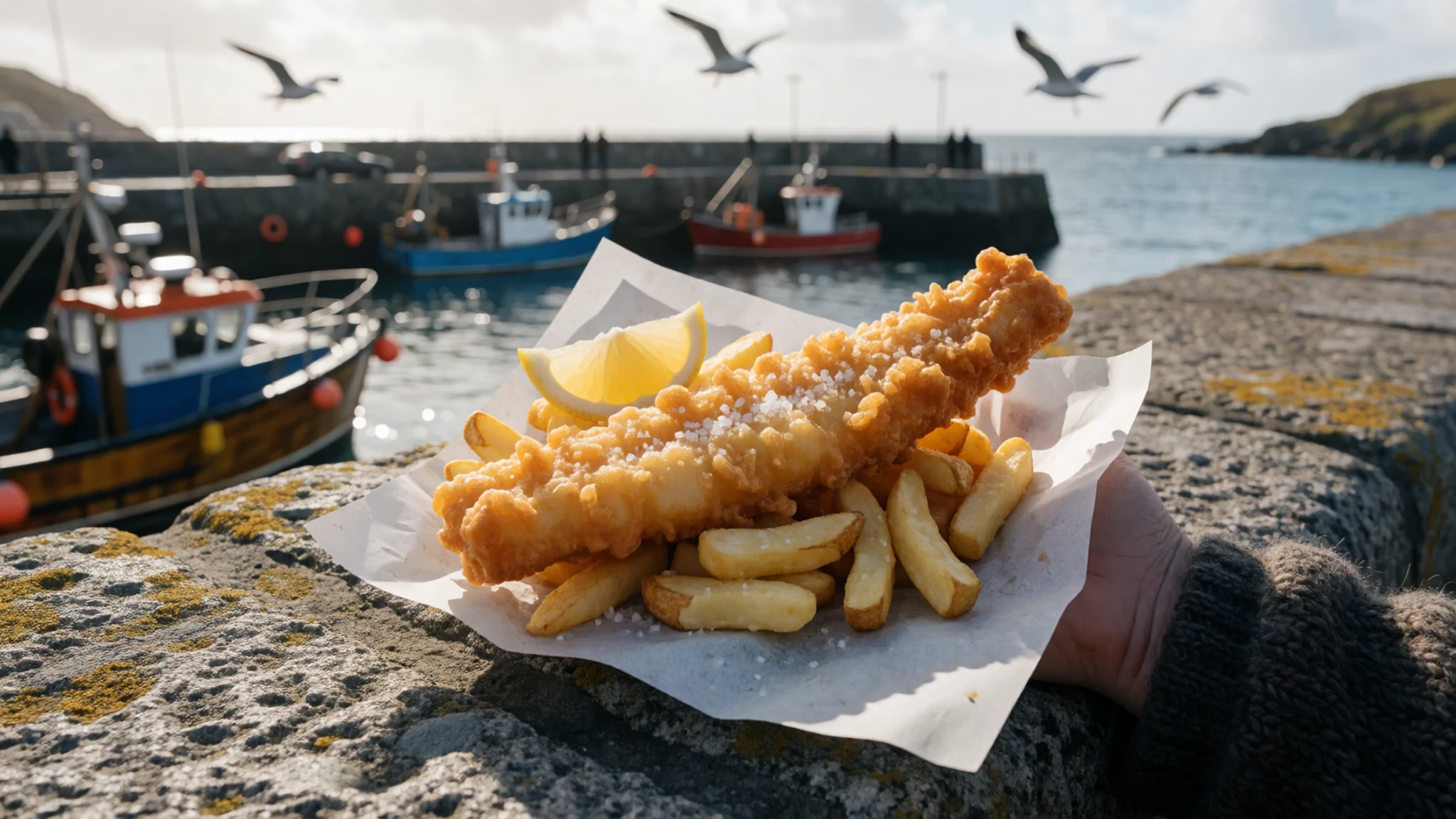
- Pub seafood with live music — Traditional pubs in the town centre
Several traditional pubs serve seafood alongside a pint, and many host live music most evenings. A plate of fresh mussels or a crab sandwich makes a good early meal before the session begins. Arrive early if you want a seat near the musicians. - Ice cream on the seafront — The seafront, near the harbour pier
Ice cream from a seafront parlour is a summer ritual here, and the shop near the harbour pier is an easy stop after a walk. Take a cone to the seawall and watch the boats come in. Opening times change with the season, so check when you arrive. - Local spirits — Dingle Distillery, in the town
Dingle Distillery makes whiskey, gin and vodka in the town, and it runs tours. A tasting is a relaxed way to learn about the grain and water behind each bottle. Book ahead in summer, and check the current tour times on the official website before you go.
Plan it
Best time. May to September gives the longest days and the mildest weather, with June and July the warmest months, though Atlantic weather changes quickly, so pack rain gear in any month. Winter brings stronger wind and shorter days.
How long. 2–3
Getting there. Fly to a main Irish airport, then take a train or bus to Tralee, which has links from Dublin and Limerick. From Tralee, a Bus Éireann service takes about an hour to Dingle via Camp and Annascaul. A Local Link bus from Killarney takes about an hour and a half via Castlemaine, Inch and Annascaul.
Budget. mid
Tips
- Book accommodation early for July and August, when the town fills up
- Drive the Conor Pass in the morning, when the road is quieter
- Carry cash for small pubs, since some do not take cards
- Pack a waterproof and layers, because the weather can change within an hour
- Check the official websites for opening times, which vary through the year
Etiquette
- Keep to marked paths and leave gates as you find them, since the land is farmed
- Ask before photographing people at work on boats or in their homes
Nearby
Sources
- Wikidata Q1127558 (CC0)
- Wikipedia, Dingle Peninsula (rev 1378067249) (CC BY-SA 4.0)
- Wikivoyage, Dingle Peninsula (rev 5401113) (CC BY-SA 4.0)
- Dingle Peninsula NASA World Wind (Public domain)
- Location map of the Dingle Peninsula (CC BY 3.0)
- Dunmore Head, 2012 (CC BY 3.0)
- Gaeltacht chorca dhuibhne (CC BY-SA 4.0)
- Shipwreck of the MV Ranga at Dunmore Head, 1986 (CC BY 3.0)
- Dunquin, Dingle, Ireland (CC BY 2.5)
- Dingle peninsula panorama (crop) (CC BY 2.5)
- Dingle Peninsula.jpg (Public domain)


