Denigomodu
Denigomodu, Nauru
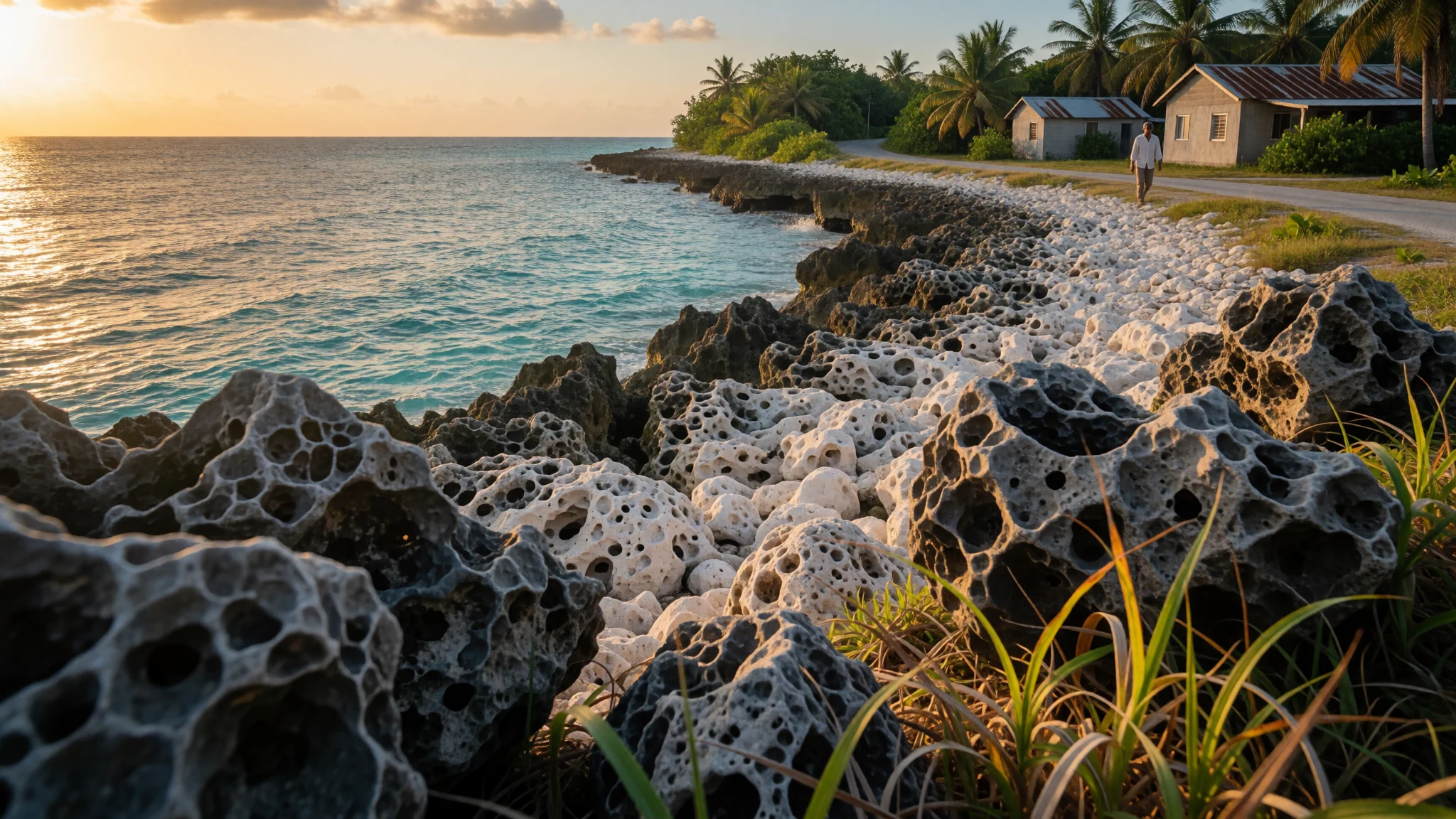
Denigomodu is Nauru’s biggest district by population, a place to experience day-to-day island life away from postcard clichés.
The place
Denigomodu is a district on the western side of Nauru, a small island in the Pacific. Locally, Nauru’s communities are organised into districts, and Denigomodu is the most populated one. It sits close to the parts of the island where people live, work, and get around the ring of roads that connects the coast and services.
A big reason people end up spending time in Denigomodu is practical: it includes the expatriate housing compound known as “The Location”, which has made it Nauru’s largest settlement by population. The district also reflects Nauru’s broader story of a place shaped by trade, changing administrations, and the rise and fall of phosphate fortunes.
What you’ll notice on arrival is the texture of everyday life rather than set-piece sightseeing. Streets and neighbourhood edges feel close and informal; buildings are spread but never far, and the atmosphere is more “workday on an island” than “heritage quarter”. Even if you’re mostly here for sights elsewhere on Nauru, Denigomodu is where you can get a sense of how housing, clinics, and coastal connections mesh together.
If you’re coming for beaches, Denigomodu won’t deliver the classic South Pacific look—parts of Nauru are more rugged, and the island’s history of mining and development shows in the landscape. Still, that’s the point: Denigomodu gives a grounded view of how Nauru actually functions, with real people, warm weather, and very limited crowds.
Its story
Denigomodu’s identity is tied to how Nauru has been shaped over long stretches of time—human settlement first, then outside contact, then the phosphate era and the modern economy that followed. Long before “Denigomodu” was a district name on maps, the island was divided into twelve parts by early Micronesian and Polynesian settlers; today, the idea of those divisions survives in the national symbolism.
The early European chapter brings its own turning points. A British commander, John Fearn, reached the island in 1798, during a period when ships still came in for trade and occasional contact. Later, the island went through a period of instability and external control, with annexation and administrative shifts that affected everyday life. Those wider events matter because districts like Denigomodu sit inside the modern pattern of housing and services that grew around whoever needed to live and work on the island.
In the 20th century, phosphate mining became the island’s defining economic activity, occupying most of the island’s land area and drawing international involvement. World War I and World War II brought further foreign presence and disruption, and military and administrative roles left traces across Nauru’s geography. Today, the district of Denigomodu reflects that layered history in a quiet way: it’s where residents and visiting staff concentrate, and where you can see how Nauru’s “modern” life has to operate within a small space.
If the island feels different from other Pacific stops, that’s because Nauru never followed the standard script. Denigomodu is where that reality is most obvious—compact, lived-in, and shaped by practical needs more than tourist infrastructure.
What to see
- Denigomodu streets and housing areas — Denigomodu district
Denigomodu’s built-up edges and neighbourhood streetscapes show day-to-day island living: low, practical housing, simple road connections, and small clusters of activity that feel local rather than resort-like. The scale is intimate, so sights are in the everyday scenes.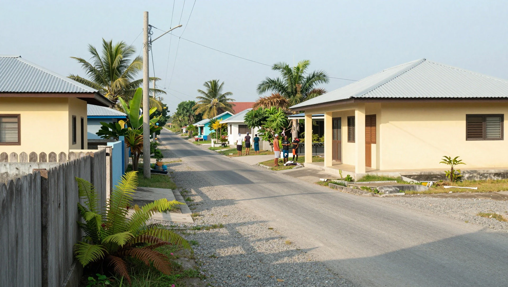
- Coastline views around the west of Nauru — western coastline near Denigomodu
Coastal edges around Denigomodu offer open water views and the “ring road” feeling of an island you travel around rather than through. Look for the mix of settlement and shoreline, where the sea frames what’s reachable on foot and by short drives.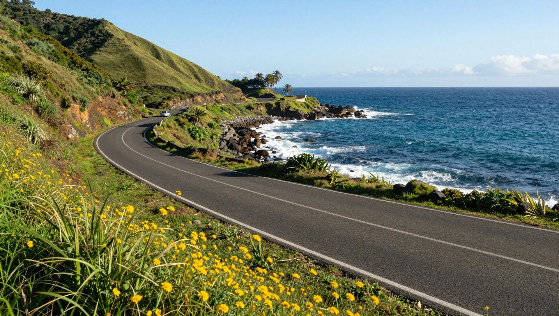
- District map and layout — Denigomodu district
A quick way to understand Denigomodu is to study the district layout: where the housing zones sit relative to the coast and how the district boundary sits within Nauru’s wider geography. It helps you plan short hops between viewpoints and services.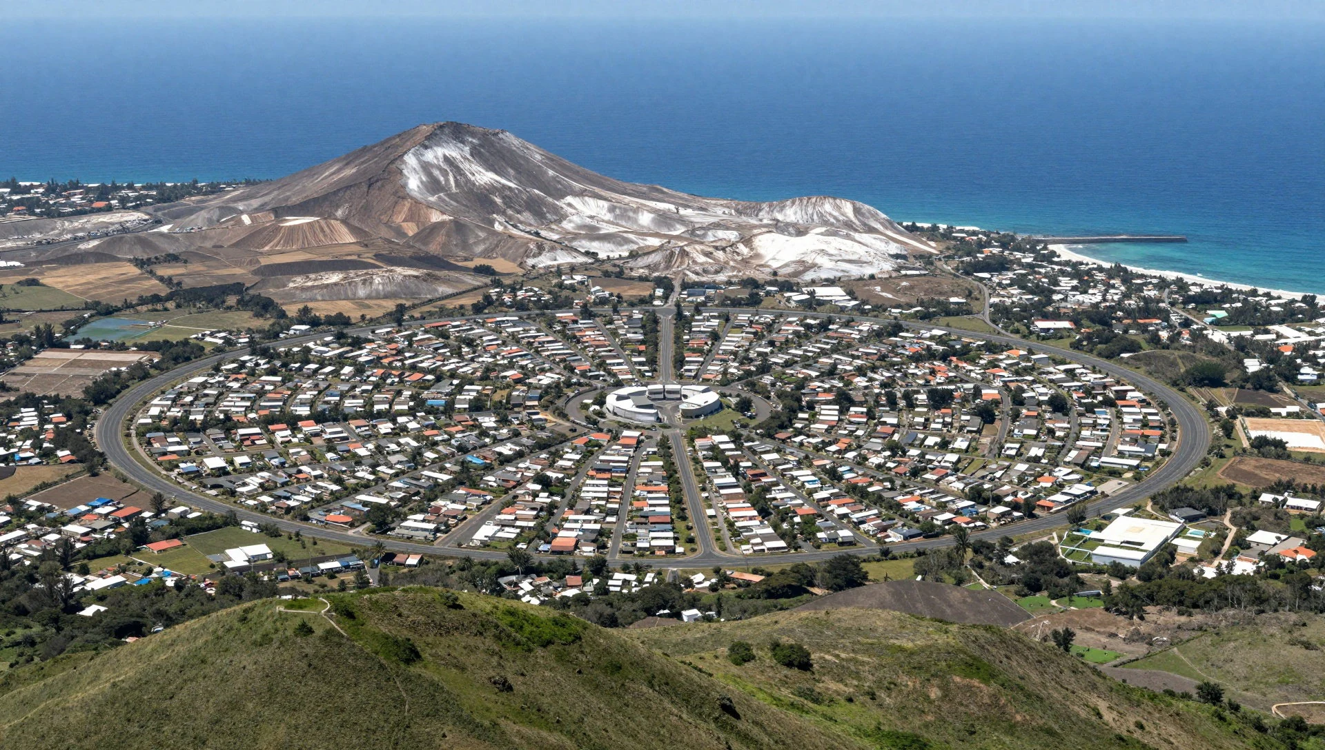
- The Location compound (expatriate housing) — Denigomodu district
Denigomodu includes the expatriate housing compound known as “The Location”, which is a defining feature of the district’s present-day settlement pattern. It’s less about dramatic architecture and more about understanding why Denigomodu holds Nauru’s largest concentration.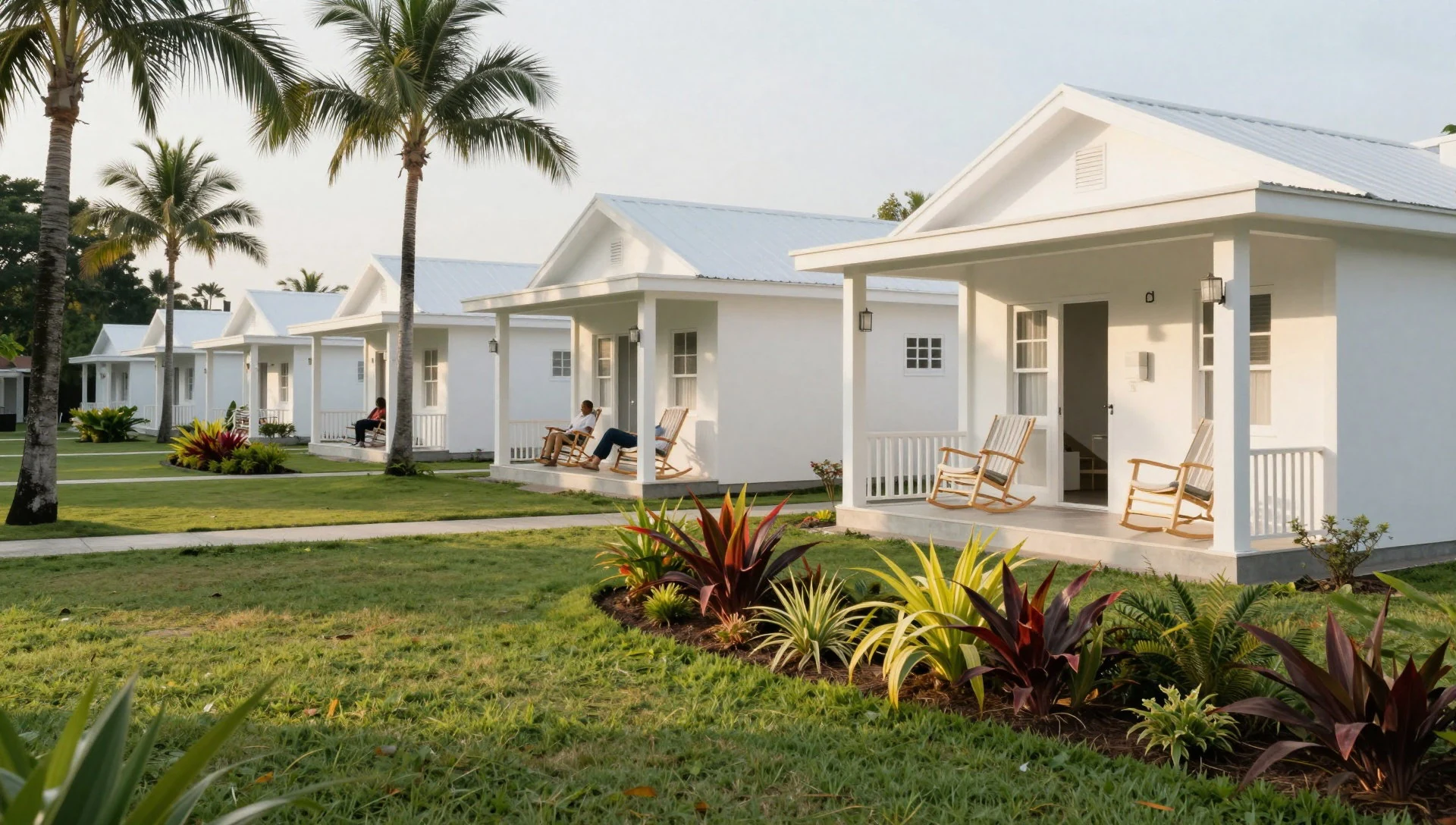
- Nauru Medical Centre area — Denigomodu district
In Denigomodu, local services feel close to where people live, so the area around the Nauru Medical Centre reads as part of everyday geography rather than a “stop”. It’s a useful landmark for orientation and for seeing how healthcare fits into the district.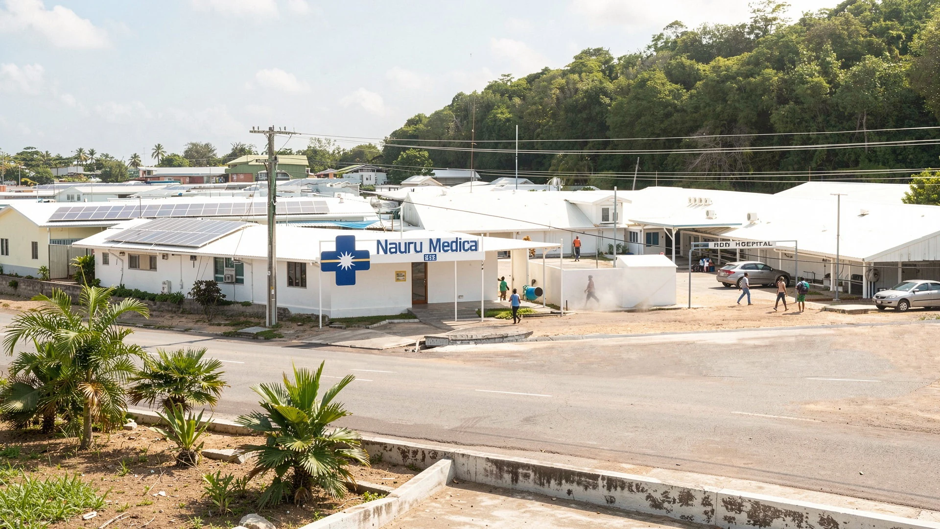
Culture
Denigomodu sits inside Nauru, and Nauru is predominantly Christian, so general rules of conduct reflect that. In practical terms, visitors should assume conservative public standards: keep interactions respectful, avoid behaviour that could be read as deliberately offensive, and dress and speak in a way that doesn’t draw unnecessary attention.
There are also clear boundaries around privacy and legality. Nauru has restrictions on pornographic material, including blocking access to internet porn, and drug trafficking is punished severely. If you’re taking photos, be aware that the Australian processing centre for asylum seekers is a place visitors may not photograph.
Sexual behaviour and public displays can be a sensitivity: public displays of affection between same-sex partners may cause offence. It’s sensible to keep affection private, and to read the room—if others are not expressing affection publicly, follow that pace.
Overall, Nauru is small and people notice visitors. Being calm, polite, and low-key goes a long way, especially in districts like Denigomodu where everyday routines are the main “attraction”.
Visitor etiquette: Dress modestly and avoid public affection that draws attention in Christian households.
What to wear
Denigomodu is on a tropical island, so the clothing reality is practical: light fabrics, breathable layers, and sun protection matter more than fashion statements. Traditional dress in Nauru isn’t usually something you’ll see all the time in daily streets, but cultural textiles and garments are part of the island’s identity, and visitors may encounter them during community events.
What people actually wear now tends to be simple and hot-weather friendly—everyday tops and shorts or longer casual clothing, plus sandals or other easy footwear. Because the district is compact and you’ll likely move around on foot between services and small viewpoints, comfort matters.
For visitors, the best approach is modest, respectful, and weather-ready: choose lightweight clothing that covers shoulders and doesn’t feel too revealing in public, especially in neighbourhood areas. A cap or hat helps against the strong sun, and sunglasses are useful for coastal glare. For footwear, bring something with grip—roads can be uneven, and the mix of sun, dust, and rain can make surfaces slick.
In short: dress for heat and for local comfort standards, with light breathable clothes and covered-enough styling, and you’ll blend in better while staying comfortable.
What to eat
- Fast food kiosk (Capelle’s supermarket)
If you want something straightforward, head to the fast food kiosk at Capelle’s supermarket in the north. It serves western fast food, useful when queues elsewhere are slow or ingredients feel limited.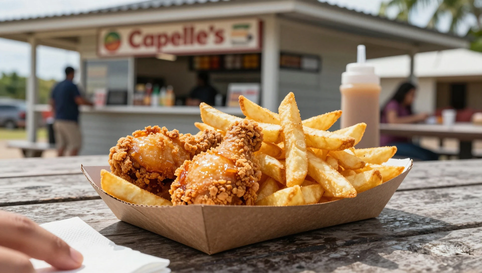
- Kasuo Chinese restaurant (near Aiwo hotel) — near the Aiwo hotel (Denigomodu-area north)
Kasuo is a Chinese restaurant near the Aiwo hotel, known for fish-focused dishes alongside fried rice and noodles. It’s a good option when you want something familiar but still rooted in what’s available on Nauru.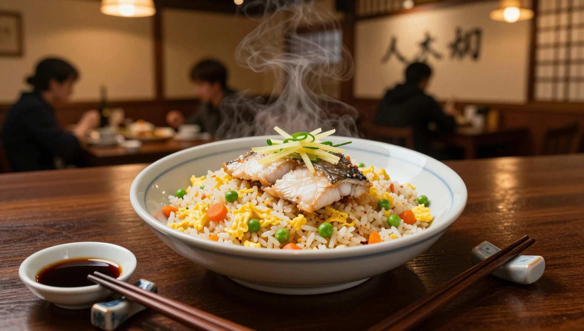
- Anibare seafood and international — Anibare
Anibare is the place to look for seafood, with an international menu too. It’s also tied to where fishing boats arrive, so it matches the island’s rhythm: eat what the sea provides. - The Bay Restaurant (fish dishes, pizza and Indian food) — Anibare
The Bay Restaurant specialises in fish dishes but also offers pizza and Indian food. It’s a mix that reflects Nauru’s imported supplies and the practical way restaurants adapt to what’s shipping in. - Oriental (Thai, Indian, Chinese) — Nauru (near the Aiwo/Anibare side)
Oriental covers several Asian styles—Thai, Indian and Chinese—so it’s a flexible choice if you’re trying to vary flavours. Expect dishes to be simple, shaped by ingredient availability. - Reef Bar (public bar) — Reef Bar area, Nauru
For a drink and a social stop, Reef Bar is one of Nauru’s public bars. If you’re staying around the other hotel on the island, it’s a short ring-road journey rather than a quick next-door walk.
Plan it
Best time. For the most comfortable sightseeing, aim for May–July or September–October, when temperatures are steadier and rainfall is lower (May and June are especially drier). The hottest months are January–March and August, and the wettest are December and January–February, so expect more frequent heavy showers then.
How long. 2–3
Getting there. Fly into Nauru (the airport is on the island; flights commonly route via Australia). From the airport, the last leg is local transport by car/taxi or organised transfer to Denigomodu and nearby districts.
Budget. mid
Tips
- Book ahead by a few months if possible, as the island’s flights and accommodation can fill with visiting staff.
- Plan around daylight; sun and humidity can tire you quickly, and rain can change walking conditions fast.
- Carry some cash for small everyday purchases and places that may not rely on card payment.
Etiquette
- Respect local rules around photography; do not photograph the Australian processing centre for asylum seekers.
- Keep affection discreet in public, as open displays can offend some people.
- Follow Christian-influenced norms: keep behaviour calm, respectful, and non-provocative.
Nearby
Sources
- Wikidata Q1187200 (CC0)
- Wikipedia (Denigomodu, rev 1375773574) (CC BY-SA 4.0)
- Wikivoyage (Nauru, rev 5415880) (CC BY-SA 4.0)
- File:Nauru_Denigomodu-Nibok.jpg (Public domain)
- File:Nauru_Medical_Centre.jpg (CC0 1.0)
- File:DENIGOMODU.png (CC BY 3.0)
- File:Locatie_District_Denigomodu.png (CC BY 3.0)
- File:North_coast_of_Nauru.jpg (CC BY-SA 2.0)


