Curonian Spit
Curonian Spit, Lithuania
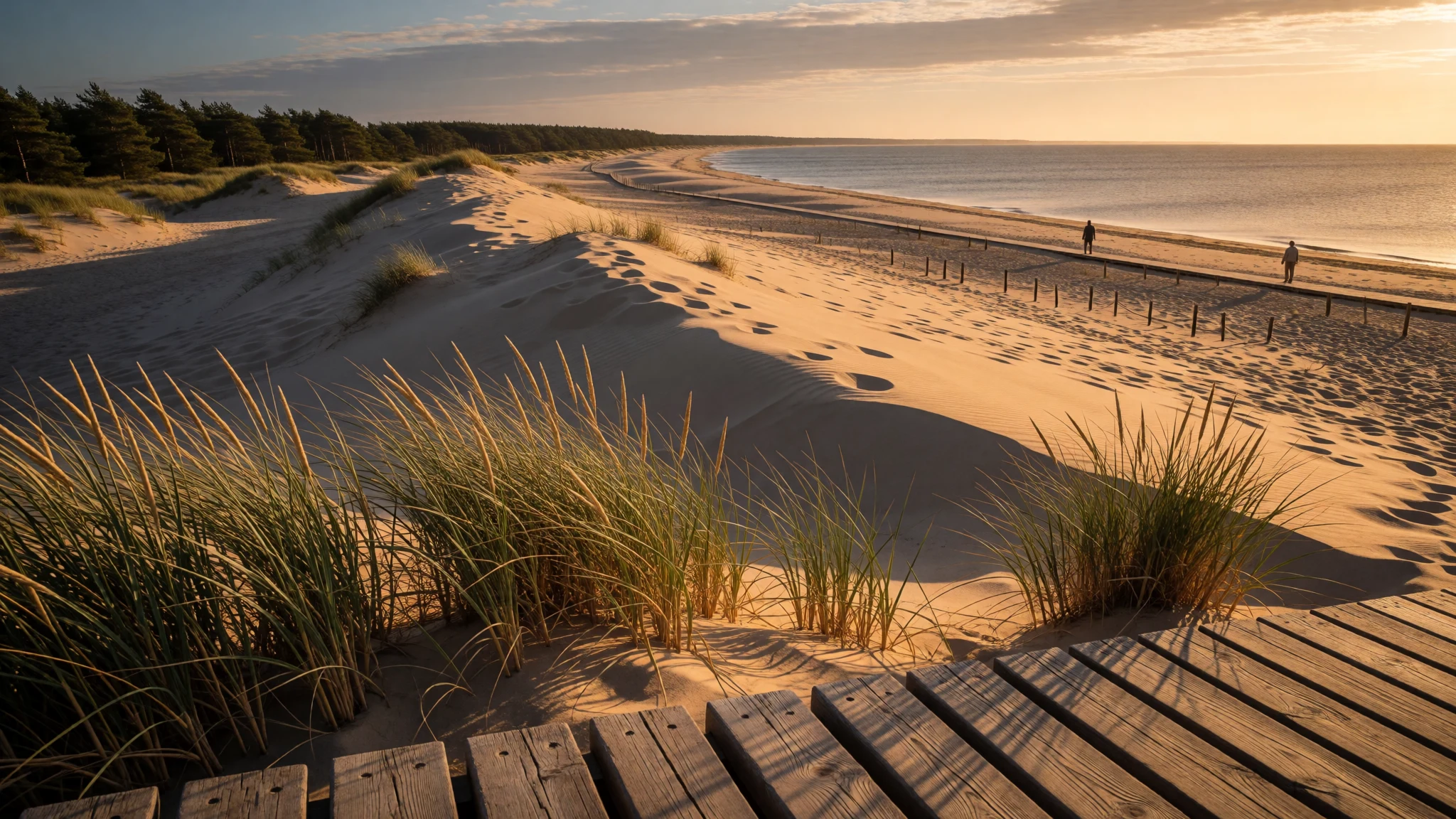
Curonian Spit pairs big-sky coastal scenery with quiet villages and dune hikes—walk it for landscape, not crowds.
The place
Curonian Spit is a thin, curved strip of sand-dunes that splits the Curonian Lagoon from the Baltic Sea. Stretching from the Sambia Peninsula in the south to a northern tip by a narrow strait, it runs along Lithuania’s Klaipėda County in the north and into Russia’s Kaliningrad Oblast to the south. On the Lithuanian side, the settlement of Nida is the easiest anchor; to the south, the landscape continues under different administration.
What makes the place feel so distinctive is the constant push-and-pull of wind and sand. The spit formed as changes in the Baltic’s waters allowed sandbanks to build and curving spits to develop, and it’s still shaped by drifting dunes today. Some areas are actively protected with boardwalks, because fragile vegetation and shifting sands don’t like heavy foot traffic.
Geographically, the spit is about movement: you can see it in how the dune ridges rise and fall, how the lagoon-side feels calmer than the open sea, and how the coastline changes character from town edges to wide sandy expanses. The UNESCO status matters here, but you don’t need a lecture—just notice how the landscape has been kept in balance by replanting, designated paths, and simple infrastructure that lets people pass without flattening everything.
Expect a place that’s peaceful but not empty: it’s a holiday destination, and the nicest light usually comes early.
Its story
Curonian Spit has a long, layered history that still shows up in the way the villages look and in how the landscape was managed. Long before today’s visitors, the region’s sand stability was a constant problem: when forests were stripped for timber, the dunes became easier for wind to push inland, swallowing farms and villages. Later, systematic replanting helped hold the dunes in check, but it also created a more artificial, conifer-heavy forest pattern.
During the 13th century the area came under the Teutonic Knights, and later it sat within Prussia, with German-speaking communities dominating for a long stretch. Even so, people along the spit weren’t all the same: fishing villages included both Curonian and Lithuanian-speaking communities. Mobility mattered too—roads and boat travel connected these settlements with the wider world rather than leaving them totally cut off.
World War Two changed the map again. After 1945, German residents were deported and the north and south of the spit were split between the Lithuanian SSR and Soviet-controlled Kaliningrad. That “hard” border reality is one reason the spit can feel like two worlds joined by sand and sea. Yet it’s also why the cultural atmosphere varies over relatively short distances.
Today, the story you feel is about conservation in practice: dunes are allowed to exist, but people are guided along paths and protected zones. The result is a coastline that feels both wild and carefully managed—windy, sunlit, and stubbornly alive.
What to see
- Parnidis Dune and the sundial — Neringa (Parnidis Dune area)
Parnidis Dune near Neringa rises steeply and rewards early starts with sweeping views over sand ridges. A granite sundial sits on top, rebuilt after storm damage, and it gives the spot an almost old-fashioned, precise feel.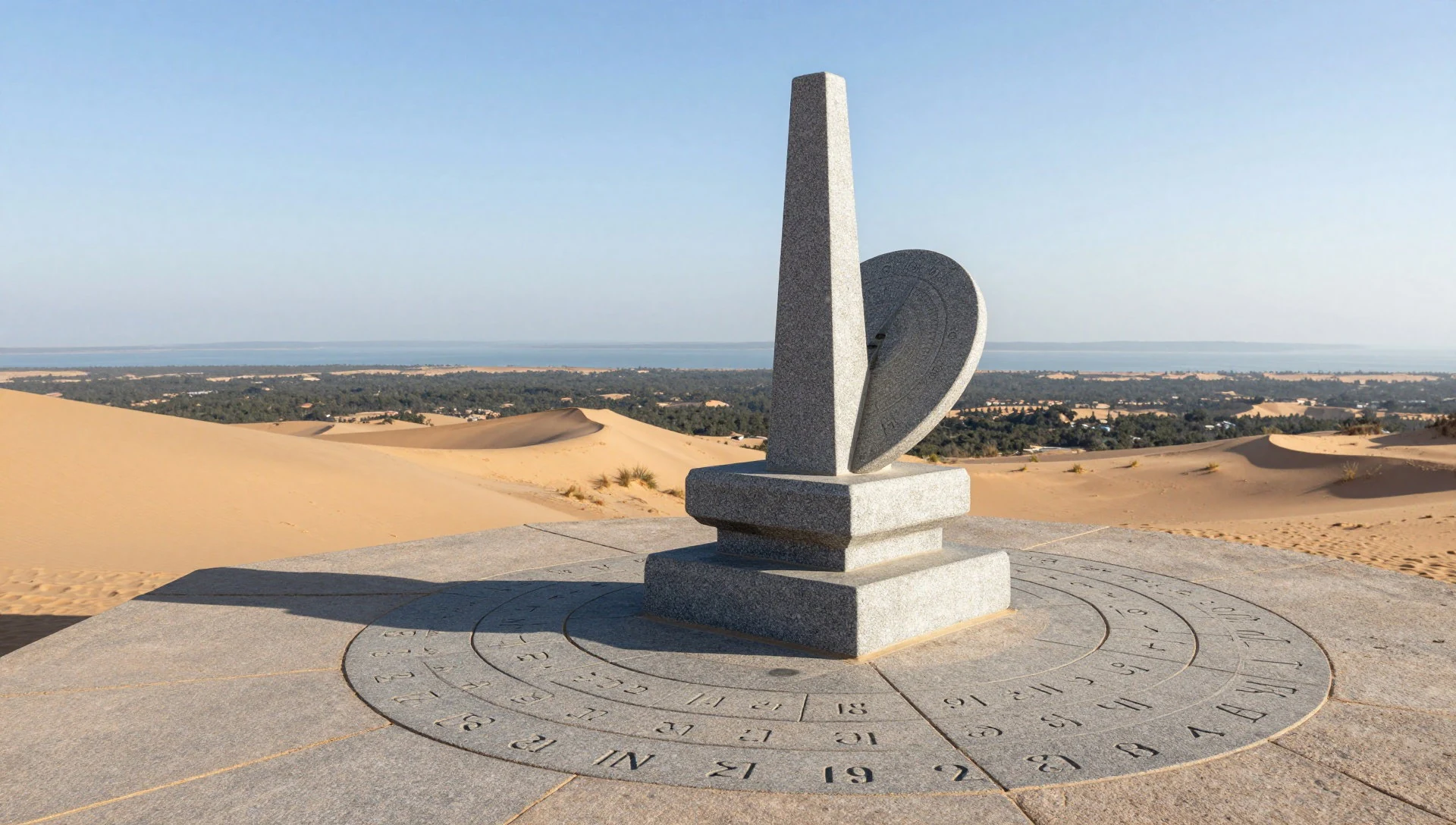
- Mirties slėnis (Valley of Death) viewpoint — Nida / Parnidis Dune area
From Parnidis Dune, the Valley of Death viewpoint opens up into a stark patchwork of sand hollows and dune slopes. It looks dramatic without being complicated—just walk carefully on the paths and let the scale sink in.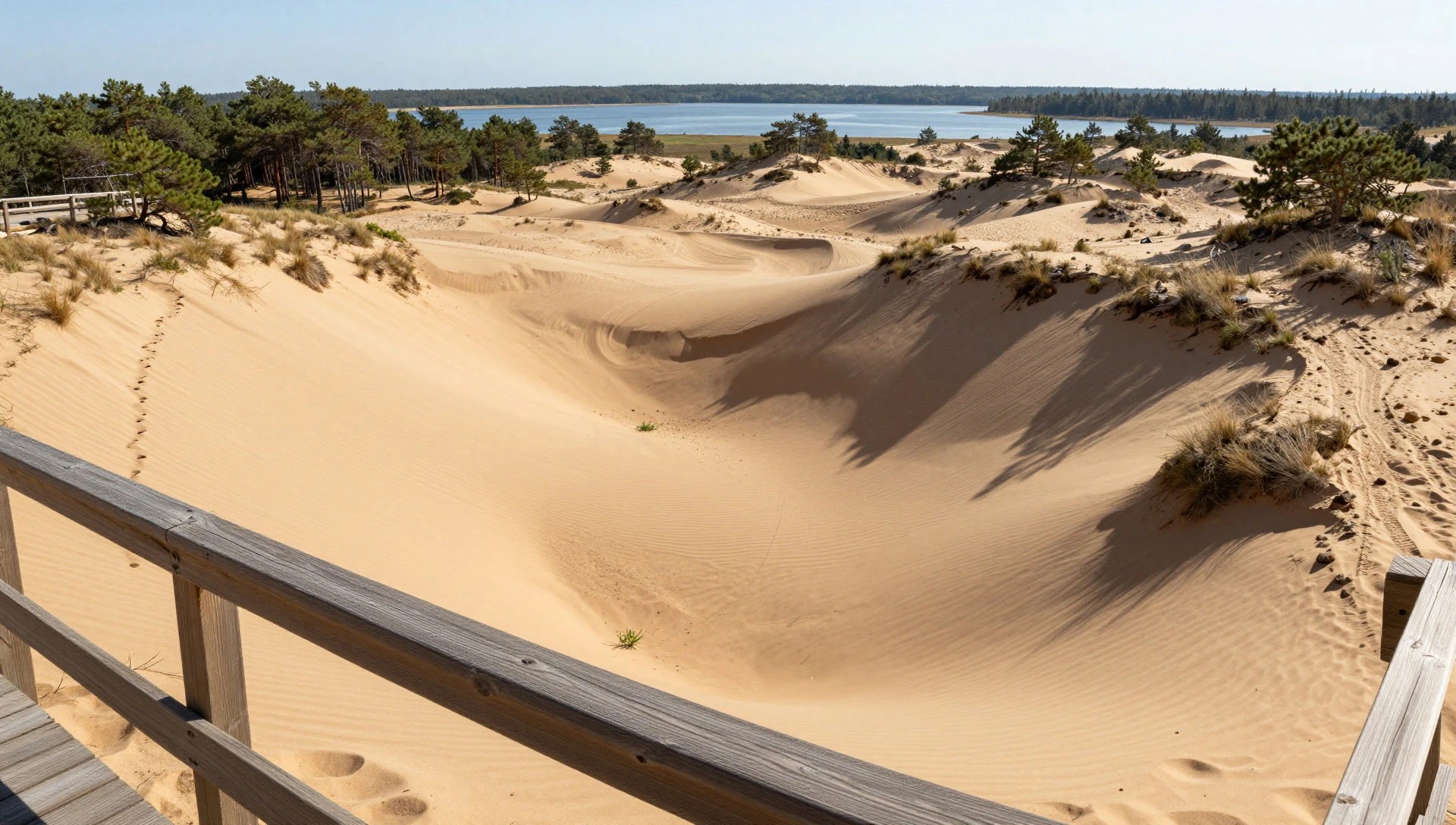
- Thomas Mann cottage area, Nida — Nida
In Nida, the Thomas Mann cottage adds a literary layer to the seaside town. It’s an easy stop if the dunes have been exhausting; the atmosphere is quieter than the beach, and the town’s character makes the setting feel believable.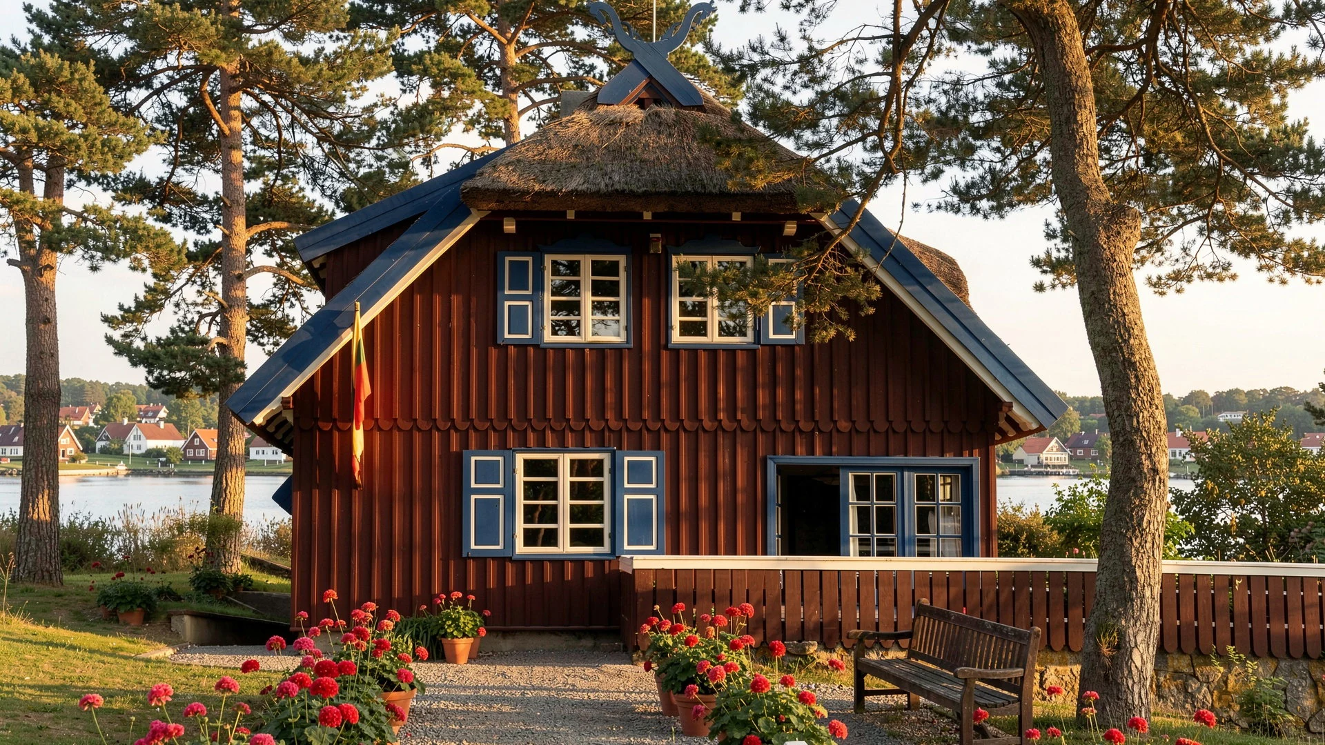
- Krikštas burial marker, Nida — Nida
Krikštas is an older marker at Nida, and it’s a good pause point on a dune-side walk. It’s the kind of site that benefits from slowing down: take a minute to look at the marker itself, then scan how the dunes and forest frame it.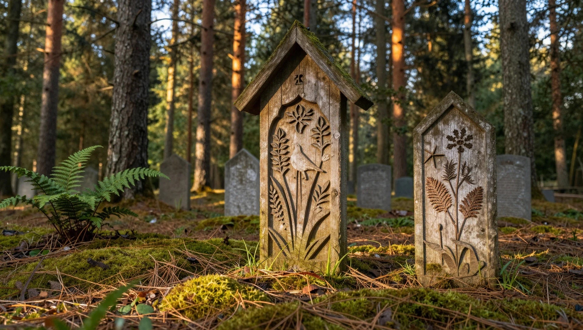
- Curonian Lagoon edge — Nida / lagoon waterfront
Along the Curonian Lagoon side, the water feels more sheltered than the open Baltic. The shoreline is where the spit’s dual personality becomes obvious—lagoon calm for lingering, sea-side wind for movement.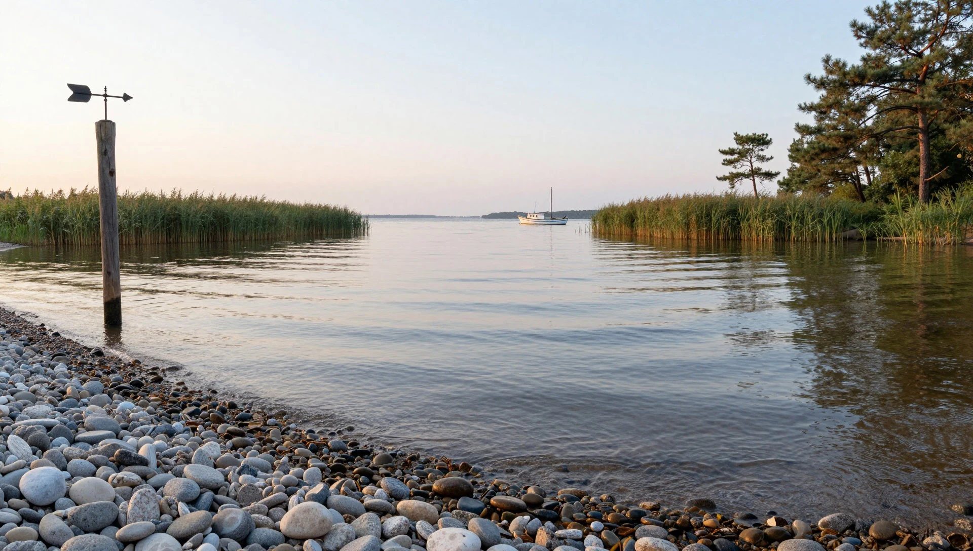
Culture
Curonian Spit’s culture is tightly linked to sand, sea, and the everyday routines of dune-side life. On the Lithuanian side, Nida has the feel of a seaside resort, shaped by visitors but still grounded in local town rhythms. On the Russian side, the settlements continue the fishing and holiday traditions, with the border history making the atmosphere feel different as you move.
The most important “cultural” thing here is how people respect the landscape. Some dunes are steep enough that climbing the wrong way isn’t just inconvenient—it can move large amounts of sand, which is why designated routes exist. Boardwalks and protected areas aren’t there to spoil the view; they help keep the spit from degrading.
Older markers and local stories also add texture. Krikštas, for example, is a reminder that belief systems changed over time, but the coastline remained the constant stage.
Visitor etiquette line: Stick to marked paths and boardwalks on the dunes, and don’t cut across to “save steps”.
What to wear
Curonian Spit wardrobes are basically about wind, sun, and sand. Traditional dress in the region isn’t something you’ll see daily on the street, but visitors still tend to notice the Baltic-leaning style in occasional cultural events: practical fabrics used for everyday clothing historically, and festival outfits with patterned textiles that look at home against a coastal landscape.
What people wear now on the spit is straightforward: breathable layers for beach weather, plus a light windbreaker because the dunes can feel gusty even when the town looks calm. In summer, shorts and T-shirts are common around Nida and along the lagoon; for longer dune walks, closed shoes are the real deal.
For visitors, the best approach is simple and functional. Bring a hat and sunglasses for glare on pale sand, and wear shoes with grip because shifting surfaces can get slippery. If visiting sites like dune viewpoints and markers, consider modest, comfortable layers—nothing elaborate, just clothes that cover legs and shoulders if the day turns windy or the route passes through cooler forest edges.
What to eat
- Smoked fish and simple coastal plates — Nida and other village centres
Curonian Spit is built on fishing culture, so look for smoked fish options in the towns. In places like Nida, they’re often served as a straightforward plate that matches the salt-air vibe—no fuss, just flavour.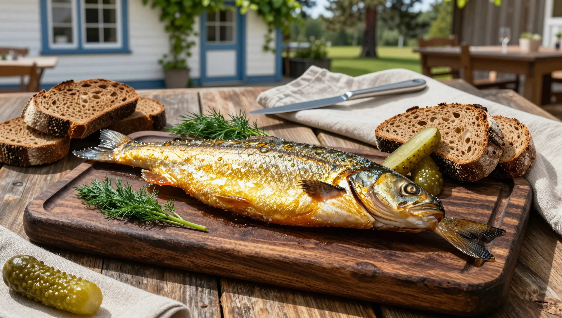
- Warm soups and hearty stews — Town eateries and small cafes
When the wind comes off the lagoon, warm bowls help. Expect seasonal soups and thicker stews to show up in local menus, especially outside peak summer, when evenings can feel cooler on the coast.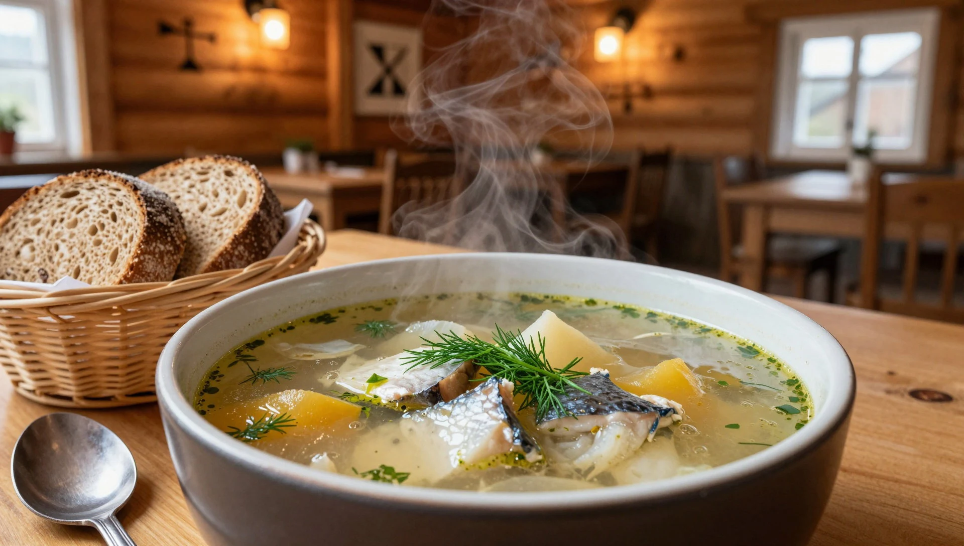
- Fresh breads and local dairy — Small bakeries and cafes in Nida
Across Baltic coast towns, simple breads and dairy-based sides are a reliable comfort. It’s the kind of food that works well during a day of dune walking—easy to grab and not too heavy. - Coffee and cake stops — Cafes and restaurants around Nida’s main streets
Resort towns like Nida make room for slow breaks. A coffee with cake is a common midday rhythm before heading back to the sand—think of it as a practical reset more than a treat. - Lagoon-fresh bites (seasonal) — Seafood-oriented menus in coastal villages
The lagoon-side conditions support different seasonal catches, so menus can vary by time of year. Keep an eye out for small “bite-sized” seafood dishes that suit a walk-and-return day rather than a long sit-down meal.
Plan it
Best time. For the warmest conditions, aim for July and August (the highest temperatures); if you want the coolest months, January and December are coldest. Rainfall is fairly steady through the year, with the wettest months in October and November, and the driest around February. Temperatures dip below freezing in winter and climb toward the 30°C range by late summer, with June and July among the rainier stretches.
How long. 3–4
Getting there. Fly into Lithuania, then continue by road to Klaipėda and use local transport to reach Nida; for the Russian side, be ready for extra border planning and allow time for the crossing depending on current rules.
Budget. mid
Tips
- Start dune walks early in the day to avoid the strongest wind and the busiest daylight hours
- Stay on designated paths and boardwalks—dunes are fragile and actively shifting
- Plan one slow afternoon around Nida town rather than packing every viewpoint into the same morning
- Carry water and a light layer; coastal weather changes quickly
Etiquette
- Use marked routes on steep dunes and don’t climb where trails don’t go
- Keep voices down around smaller heritage markers and sacred-feeling spots
- Tidy up after beach picnics—sand gets everywhere, so pack out what’s brought in
Nearby
Sources
- Wikidata Q5595 (CC0)
- Wikipedia (Curonian Spit, rev 1382252656) (CC BY-SA 4.0)
- Wikivoyage (Curonian Spit, rev 5077751) (CC BY-SA 4.0)
- Photo photos/01-mirties-sl-nis-nuo-parnid-io-kopos.jpg (Public domain)
- Photo photos/02-nida-thomasmann-cottage.jpg (CC BY 3.0)
- Photo photos/03-kurenwimpel-aus-nidden-2004.jpg (CC BY 3.0)
- Photo photos/04-krikstas.jpg (Public domain)
- Photo photos/05-viesbutis-kavine-in-nida.jpg (CC BY 3.0)
- Photo photos/06-e-erin-svetain-9617446912.jpg (CC BY 2.5)
- Photo photos/07-nidos-kopos.jpg (CC BY 3.0)
- Photo photos/08-nida-sand-dunes-august-6-2007.jpg (CC BY-SA 2.0)


