Kodagu district
Kodagu district, India
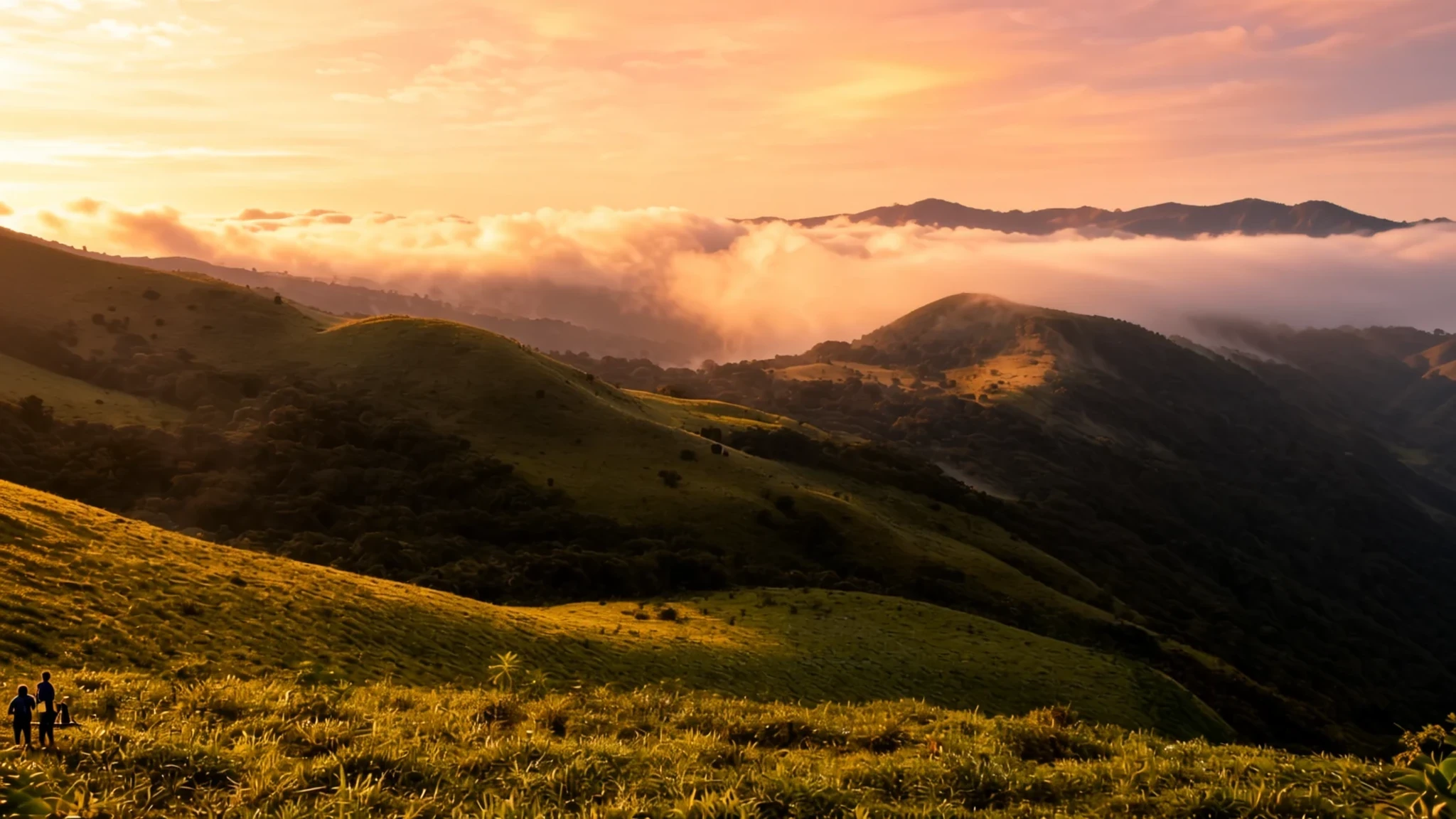
A misty hill district of coffee estates, waterfalls and forest on the Western Ghats, best explored slowly by car and on foot.
The place
Kodagu, still often called Coorg, is a hill district in the state of Karnataka in southern India. It sits on the eastern flank of the Western Ghats, the long escarpment that runs down the western side of the peninsula, and it holds roughly 550,000 people across a landscape of ridges, valleys and plantation slopes. Elevation is around 900 metres, and the ground rises and falls sharply, so roads twist and distances take longer than the map suggests. The district's most visible feature is coffee. Estates cover long stretches of hillside, with pepper vines, cardamom and orange groves between them, so the countryside often looks like a managed garden rather than wild forest. The south-west monsoon brings heavy rain, and the hills turn green and wet. The cooler months bring clearer skies and easier walking. Kodagu suits slow days rather than checklists. Its towns are small, its roads wind, and the sights are spread out, so most visitors base themselves in one town and travel out by car. The Kaveri river rises here and carries much of the district's water away across the region.
Its story
Kodagu's story begins with the Kodava people, who are generally regarded as its earliest settlers and farmers, and who lived in these hills for centuries before any kingdom laid claim to them. Kodava society combined cultivation with a warrior tradition. Men carried arms in times of conflict and answered to their own local chieftains. Early Tamil literature from the Sangam era, covering roughly the first few centuries either side of the common era, mentions the region as part of a wider network of hill and coastal territories under the Ezhimala rulers. Later the land fell under the Haleri dynasty, a branch of the Keladi Nayakas, which governed from 1600 until 1834. That year the East India Company took control after deposing the last king, Chikka Virarajendra, and the district became known in English as Coorg. Colonial rule brought schools, a more orderly administration and a new crop. Coffee planting spread across the slopes and became central to the local economy, and the estates still shape the view today. The British period is also remembered for extraction, since the district's resources were valued for what they could return to an empire. Independence in 1947 ended British rule, but Coorg remained a separate state until 1956, when it was merged into Mysore State, now Karnataka. Kodava identity, language and customs survived all these changes.
What to see
- Abbey Falls — Near Madikeri
Abbey Falls, a short drive from Madikeri, keeps plenty of water even in summer, when many falls thin to a trickle. A path winds through coffee and cardamom plantations to the falls, and you can hear the roar from the main road before you see the water. The air around the falls is full of birdsong, though the birds are usually heard rather than seen. Wear shoes with good grip, as the path can be slippery after rain.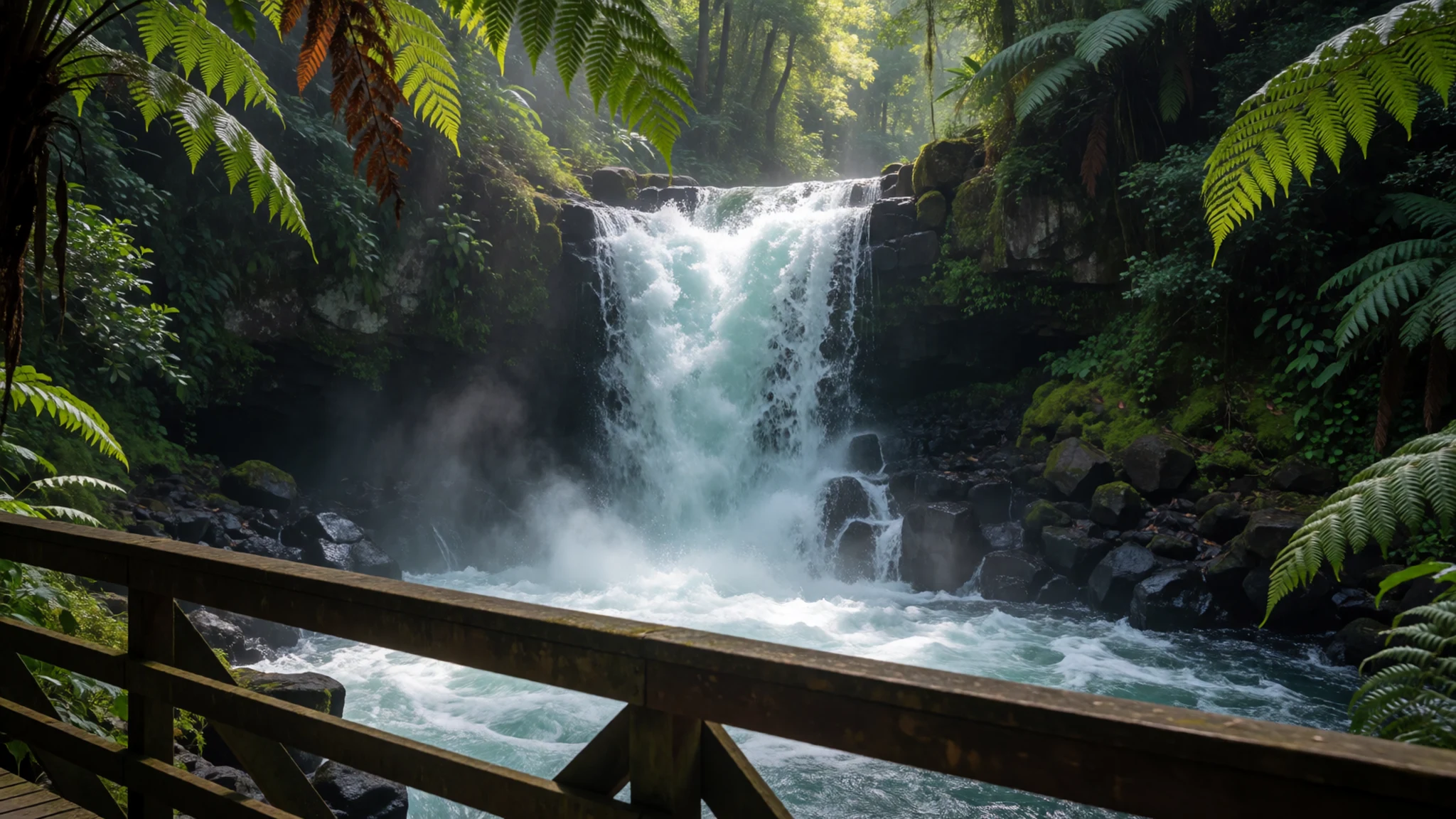
- Golden Temple, Bylakuppe — Bylakuppe, in the district
The Golden Temple at Bylakuppe is a Tibetan Buddhist monastery in Kodagu, home to a large community of monks and students. Its gold-coloured shrines and prayer halls give the complex its name, and the atmosphere is calm and devotional. The monastery lies on the usual road from Bangalore and Mysore, so it makes an easy stop on the way in. Dress modestly, remove your shoes at the door and keep voices low during prayers.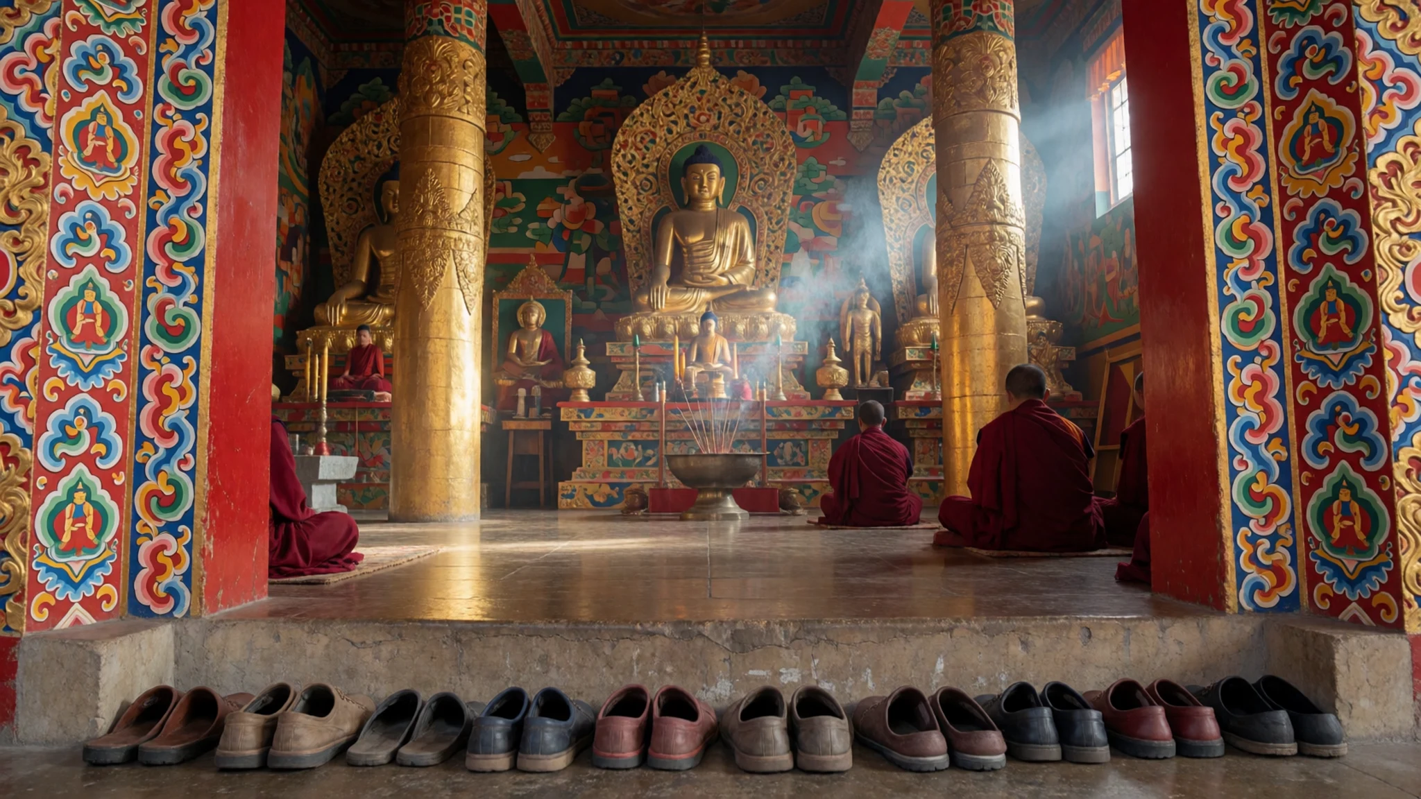
- Tadiandamol — Western Ghats, in the district
Tadiandamol is the highest peak in Kodagu, rising to about 1,750 metres. The route suits walkers who are comfortable on uneven, muddy ground. On clear days the views reach across the surrounding ranges, but mist often sits in the valleys in the mornings and rain can arrive quickly. Start early and carry a waterproof. Ask locally about trail conditions before you set off.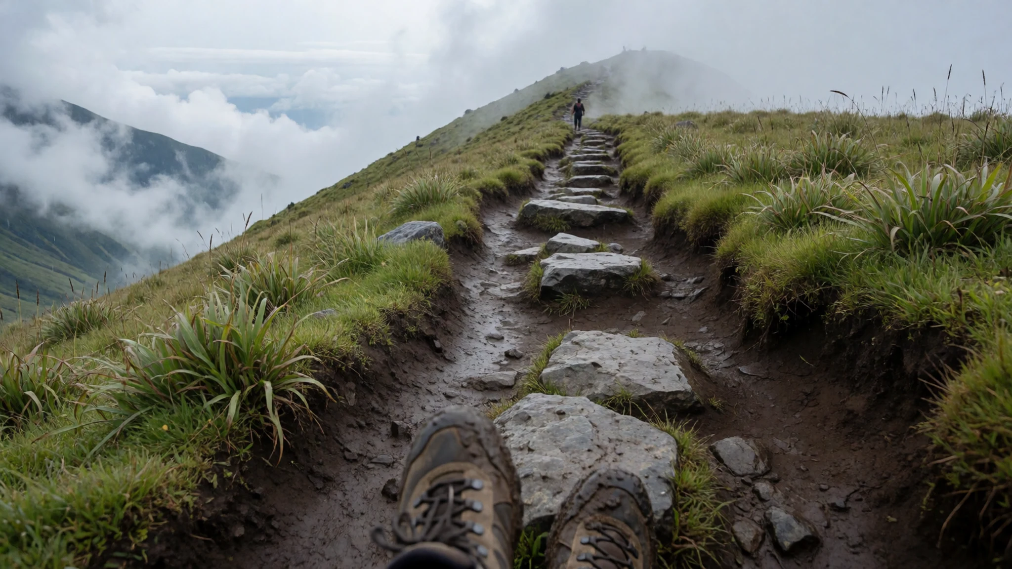
- Honnamana Kere — Madikeri area
Honnamana Kere is a holy lake near Somwarpet, surrounded by coffee estates and cliffs, and it draws both pilgrims and tourists. Cliffs rise around its shores, giving the setting a dramatic backdrop. If you prefer a gentler outing, walk through the coffee plantations instead. Ask locally about getting there before you go, since road conditions vary from day to day.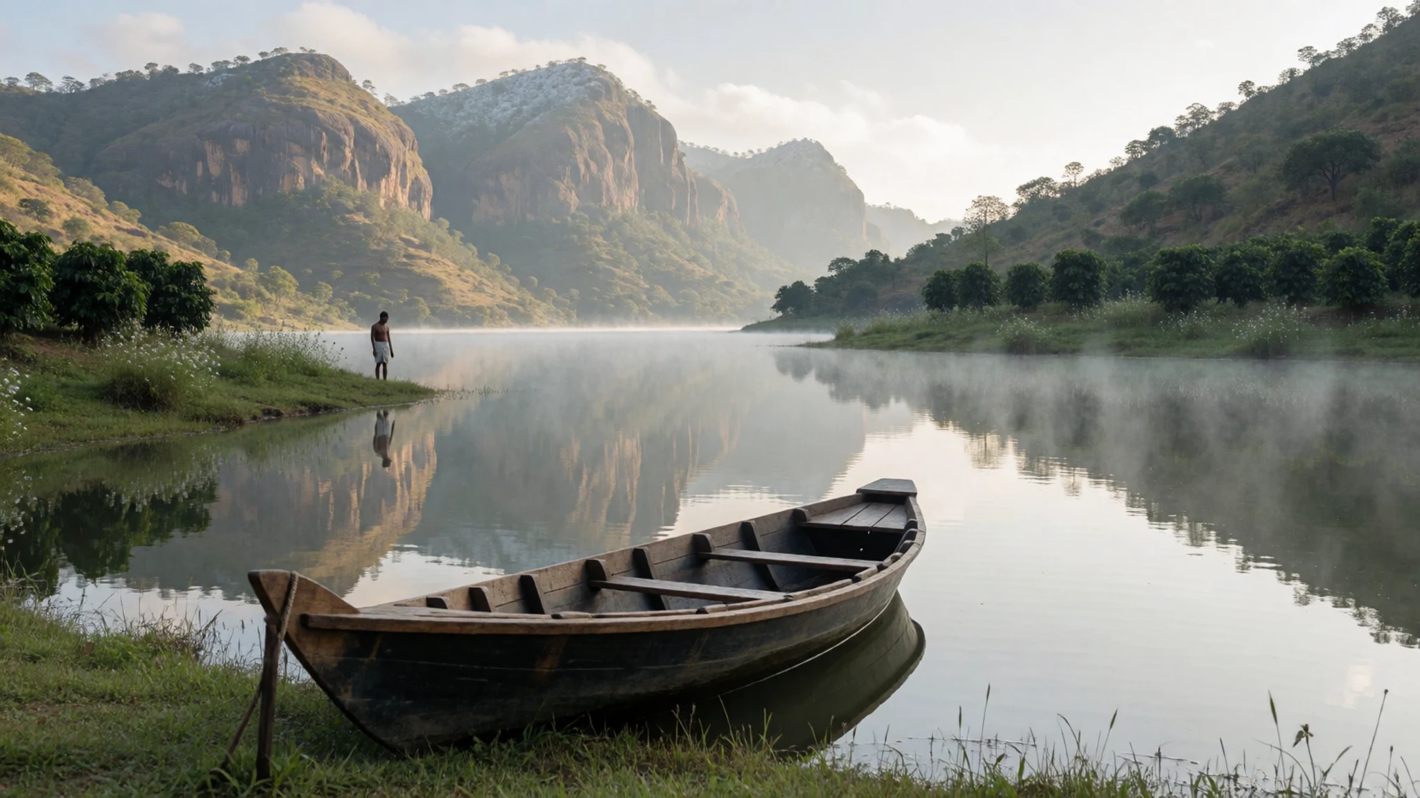
- Nagarahole Tiger Reserve — Reached from Hunsur
Nagarahole Tiger Reserve is reached from Hunsur and forms part of a biosphere reserve. Visitors can see bison, elephant, spotted deer, sambhar, wild boar, peacock and many birds. Wildlife viewing depends on the season and the time of day. Check the official forest department site for permits and rules before you travel, because access can change.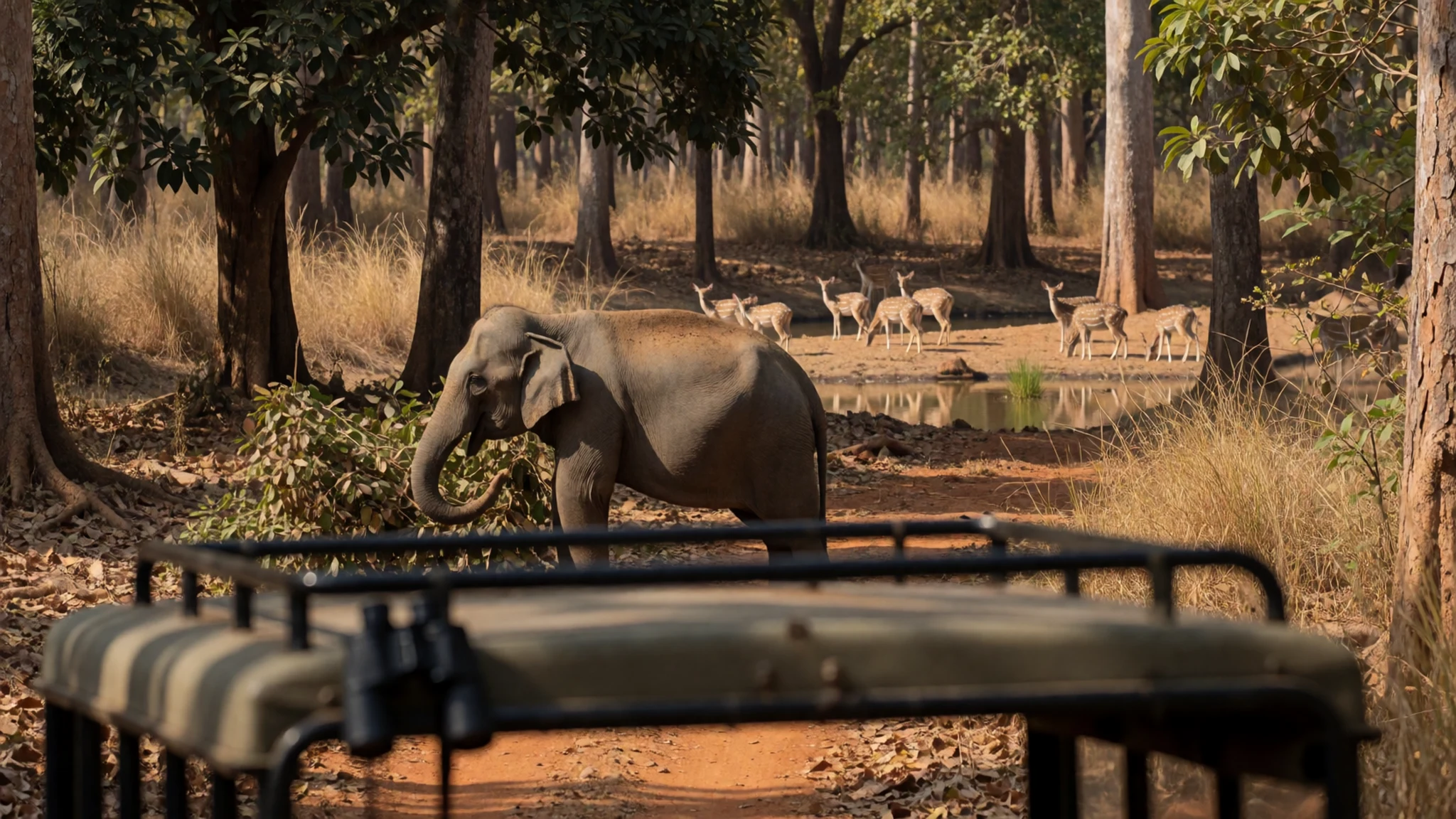
Culture
Kodagu is a place where community and land are closely tied, and daily life follows the rhythms of the coffee and pepper harvests. The Kodava people have a distinct language, cuisine and dress, and many families still keep to older customs around marriage and the household. The district is also home to a Tibetan community, whose presence is most visible at Bylakuppe, where a large monastery complex draws pilgrims and visitors alike. Monks there keep daily prayer and ritual, so the atmosphere is devotional rather than festive. Hospitality matters across the district, and a visitor who accepts a cup of coffee or a plate of homemade food is usually receiving a real gesture of welcome. Estate homes often run on family routines, so arrive when invited rather than unannounced. Remove your shoes before entering any temple, monastery or prayer hall, and ask before photographing people at family ceremonies.
What to wear
Kodagu's best-known traditional dress belongs to the Kodava community and is worn mainly at weddings, festivals and family ceremonies. Men wear the kupya, a long, fitted coat, usually dark and worn with a cloth at the waist and, on formal occasions, a ceremonial dagger. Women wear a saree draped in the distinctive Kodava style, with pleats gathered at the front, often in silk for special occasions. The textiles are mostly cotton and silk, with woven borders and simple embroidery, and the colours carry more weight than ornament. Day to day, most people in Madikeri and the towns dress as they would across southern India, in cotton shirts, trousers, kurtas and sarees, saving traditional clothing for ceremonies. For a visitor, the climate is the main guide. Days can be warm and sunny, but the hills turn cool in the evenings and rain can arrive suddenly, so pack a light layer and a waterproof. Lightweight cotton keeps you comfortable on plantation roads. At temples, monasteries and family homes, cover shoulders and knees and wear shoes that are easy to take off. Closed walking shoes or sandals with grip matter on wet trails near waterfalls, and in the wet season socks tucked into trousers help against leeches.
What to eat
- Pandi curry — Kodava-style eateries in Madikeri and family kitchens
A pork curry in a dark, spiced gravy, and the dish most associated with Kodava cooking. Pepper, curry leaves and a slow simmer give it a heat that many visitors find strong. Eat it with rice or rice-based breads.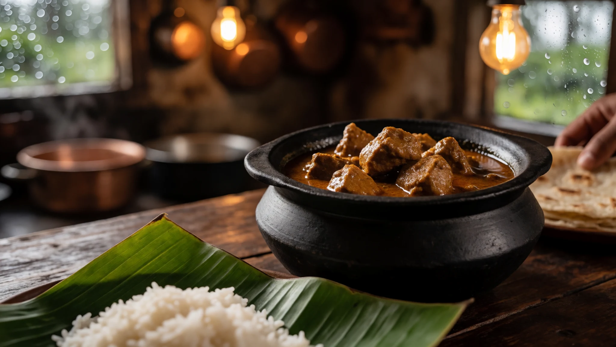
- Akki roti — Breakfast tables in local homes and small eateries
A thin flatbread made from rice flour and cooked on a hot griddle, often folded around vegetables or grated coconut. It is the everyday partner to curries across the district and simpler to make than it looks. Kodava households make it fresh for each meal.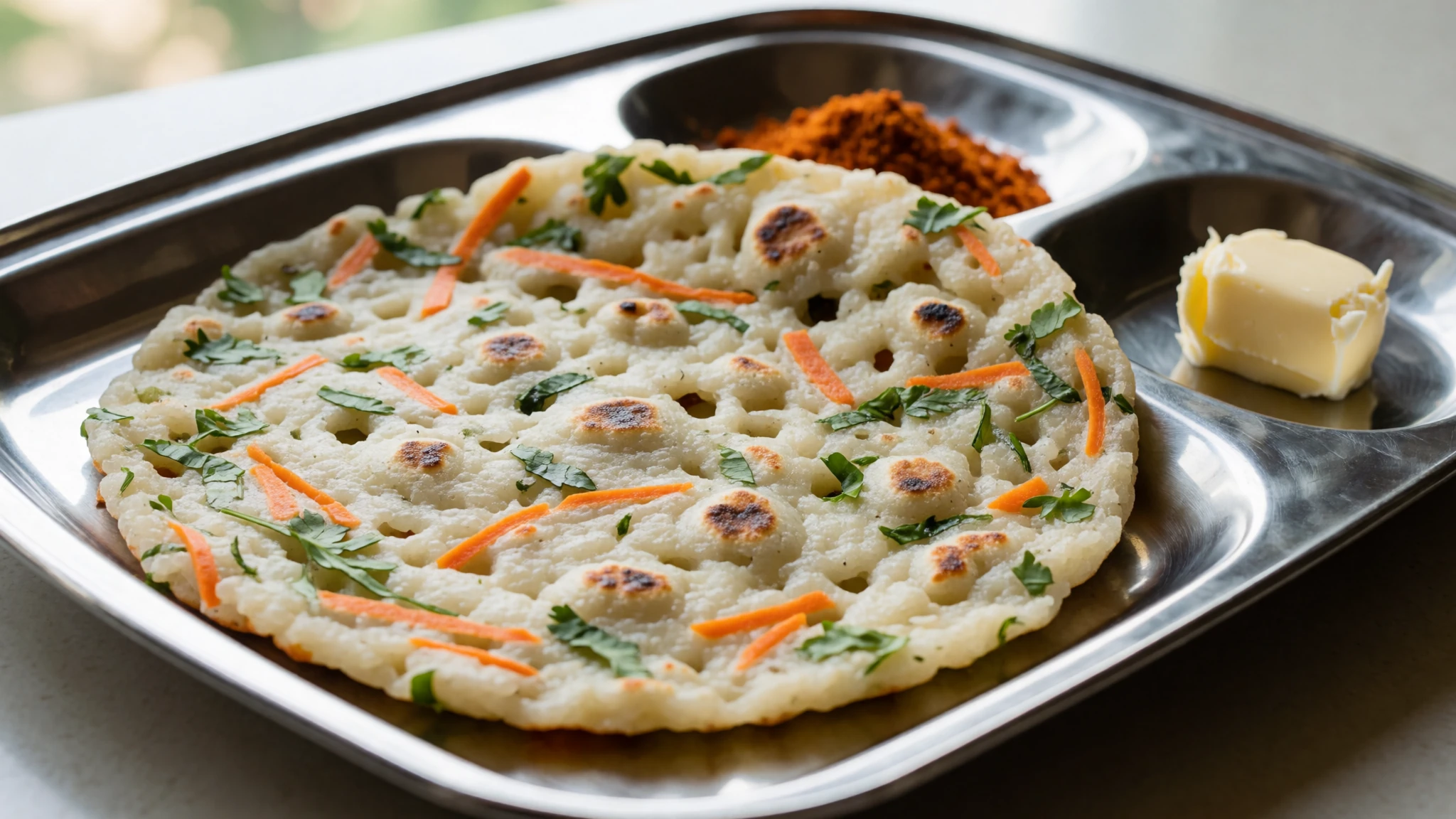
- Kadubittu — Morning eateries and home kitchens, especially at festivals
Small steamed dumplings of rice dough, often wrapped in leaves and served with a spiced curry or a side of chutney. Their soft texture makes a good contrast to fiery meat dishes. They are a common part of festive meals. - Pork pepper dry — Meat-focused eateries in the district's market towns
Pork fried with black pepper, onions and curry leaves until the meat is dry and glossy. It is a classic Kodava meat dish and shows how much pepper the region grows. Expect it to be hot, and ask for less chilli if you prefer. - Coorg coffee — Local shops and small roasters in Madikeri and the estate towns
Coffee grown on the district's estates and roasted locally, sold as beans or ground powder. Buy small packets to take home, since the estates are the best source. Ask for it black or with milk, the way most locals drink it.
Plan it
Best time. December to February, when the rains have largely stopped and the nights are coolest, suit walking best; March to May are the hottest months and June to August the wettest. The wet months bring leeches, slippery trails and mist, though the waterfalls run strongest after rain.
How long. 2–3
Getting there. The nearest railway station and airport are at Mysore, about 100 km away, though Mangalore International Airport is also within reach. Buses connect the district with Mysore and Mangalore but are slow and winding, so many visitors hire a cab from Mysore or Bangalore for the final leg.
Budget. mid
Tips
- Hire a cab for the whole stay, since sights are spread across the district and bargaining is harder at tourist spots
- Start walks and falls visits early, before the mist and afternoon rain arrive
- Carry cash for small shops, plantation stalls and local eateries
- Pack a waterproof, and tuck socks into trousers when walking through wet grass
- Watch for unmarked speed breakers and overloaded lorries on the main roads, and avoid driving at night when animals cross
- Mobile coverage is patchy in places, and BSNL usually works in more areas than other networks
Etiquette
- Remove your shoes before entering temples and monastery halls
- Ask before photographing people, especially at family ceremonies
- Dress modestly at religious sites
- Accept hospitality politely, since coffee or food offered in a home is a gesture of welcome
Nearby
Sources
- Wikidata Q1553185 (CC0)
- Wikipedia, Kodagu district (rev 1376697502) (CC BY-SA 4.0)
- Wikivoyage, Kodagu (rev 5336200) (CC BY-SA 4.0)
- Photo 01-kodagu.jpg, Aneezone, ml.wikipedia (CC BY 3.0)
- Photo 02-tadiandamol-valley-western-ghats.jpg, Jyotirmoy (CC BY-SA 4.0)
- Photo 03-golden-temple-kodagu-pic-3.jpg, Navi guy (CC BY-SA 4.0)
- Photo 04-mallalli-falls-1.jpg, Shanmugamp7 (CC0 1.0)
- Photo 05-tadiandamol-trek-starting-point-near-resort.jpg, Navi guy (CC BY-SA 4.0)
- Photo 06-harangi-elephant-camp-and-tree-park.jpg, Navi guy (CC BY-SA 4.0)
- Photo 07-mandalpatti-hills.jpg, RN Satyanarayana rao (CC BY-SA 4.0)
- Photo 08-kodava-wedding.jpg, Yana Kaveramma (CC BY-SA 4.0)


