Ciudad Perdida
Ciudad Perdida, Colombia
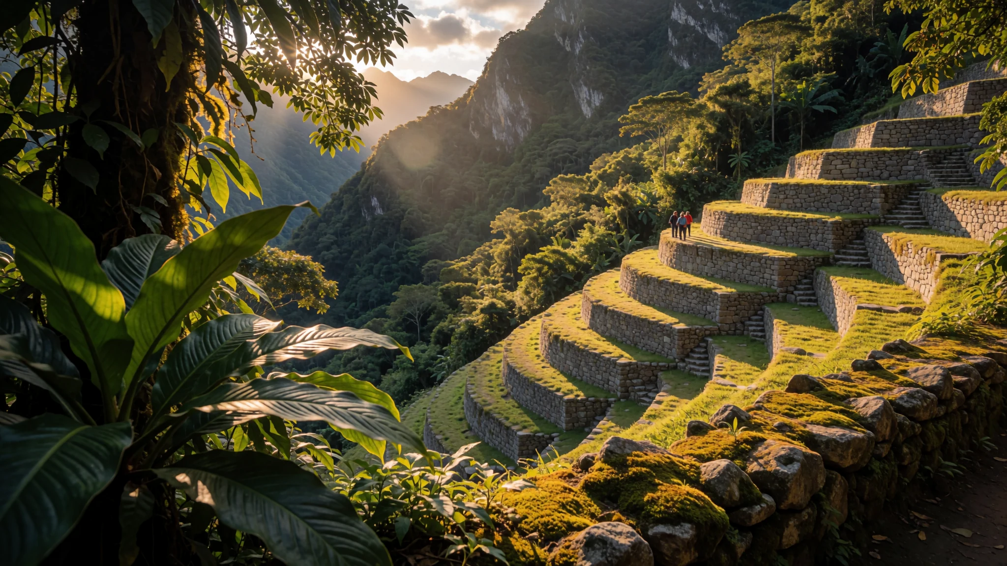
A jungle-covered city of stone terraces, reached only on foot after several days of trekking through the Sierra Nevada de Santa Marta.
The place
Ciudad Perdida is the Spanish name for an archaeological site in the Sierra Nevada de Santa Marta, a coastal mountain range in northern Colombia. Locals call it Teyuna, and it is sometimes known as Buritaca-200, after the river that runs through the valley below. The site lies at about 975 metres above sea level on a steep slope.
What survives is mostly stonework. The layout is a network of 169 terraces linked by paved paths and small circular plazas. Most of the houses that once stood on them have gone, so the impact comes from the shape of the land and from the way the jungle has taken over the walls. The upper terraces are reached only after a long climb up a stone stairway cut into the hillside, so the approach is part of the experience.
Access is restricted. Independent visitors cannot go alone; licensed tour operators arrange the trek, and a guide leads each group. Most itineraries take four to six days, through forest, river crossings and camps with basic shelter. Arriving at the terraces is the payoff, and cloud can roll over the upper valley within an hour.
Water is everywhere in this setting: streams, waterfalls and rain that can arrive suddenly in the afternoon. Expect humidity, mud and insects, and plan each day around the weather rather than the clock.
Its story
Ciudad Perdida was most likely a political and manufacturing centre for the region, set beside the Buritaca River. Historians think it may have held several thousand people at its height, with households spread across the terraces and craft work carried out in its plazas. The city predates Machu Picchu by a considerable margin, which makes it one of the earlier large settlements in the Americas that visitors can still walk through today.
The people who built it were the Tairona. Their descendants include the Kogi, who still live in the surrounding mountains. Kogi tradition describes the Tairona as having lived in the region for a very long time, until the arrival of Spanish conquistadors changed everything.
The settlement was abandoned during the sixteenth century. Pressure from the Spanish arrival, along with the strain of years of trade and armed clashes, pushed people away from the terraces. Over time the stone walls were left to the forest, which slowly covered the paths, houses and plazas.
What remains today is the stonework itself. The terraces were shaped into the mountainside long before modern roads reached the valley, and the rediscovery of the site brought it back into view as a destination for walkers. The Kogi regard the mountains as a living landscape, a reminder that the Tairona world did not disappear entirely.
What to see
- Ciudad Perdida (Teyuna) — Sierra Nevada de Santa Marta
The main terraces are the reason people make the trek. Stone platforms step up the hillside, joined by paths and small round plazas, and the jungle has grown over much of the stonework. Standing on the upper levels gives a clear view across the valley. Guides usually allow a few hours on site, so there is time to walk the terraces slowly and rest before the return.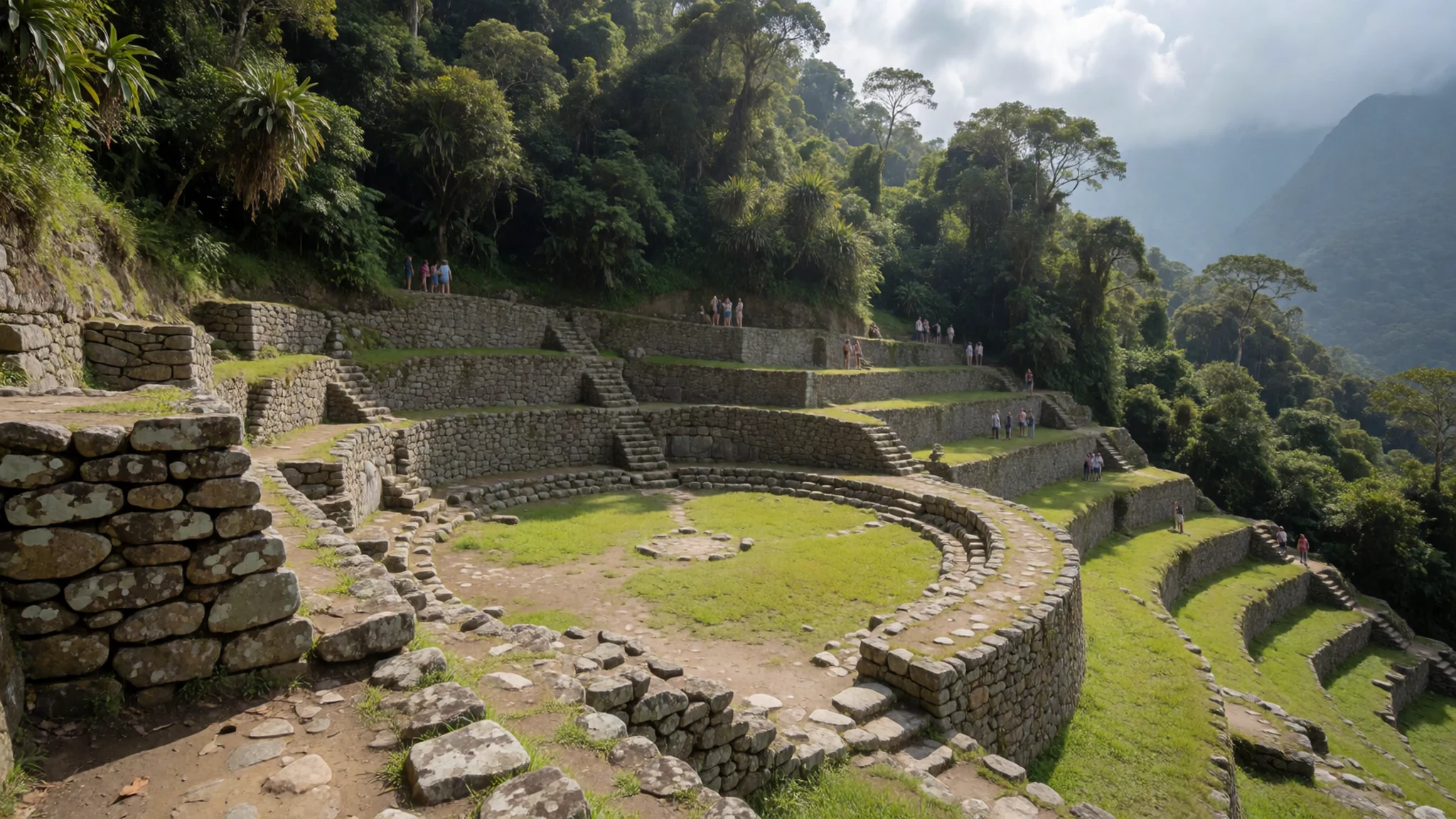
- The stone staircase — Between the river valley and the upper terraces
The climb from the river valley to the terraces follows a long stone stairway, made up of around 1,200 steps. The steps are steep in places and slick after rain, so most walkers climb slowly. Stop at the landings to get your breath back, and use handrails where they exist. For many people this is the hardest part of the approach.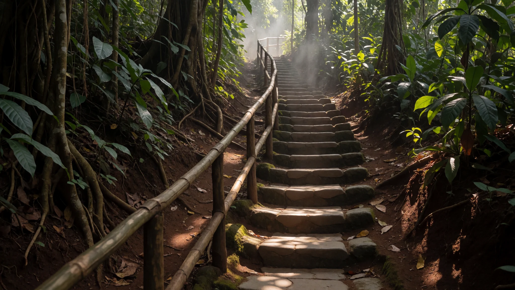
- Mamey — Upper Buritaca valley, trekking route
Mamey is a named place in the mountains, lying away from the main terraces and reached along the wider trekking route. Routes differ between tour companies, so check with your operator whether it is included in your itinerary. Expect a quieter and more remote setting than the main site, with forest, fewer groups and the sound of water nearby.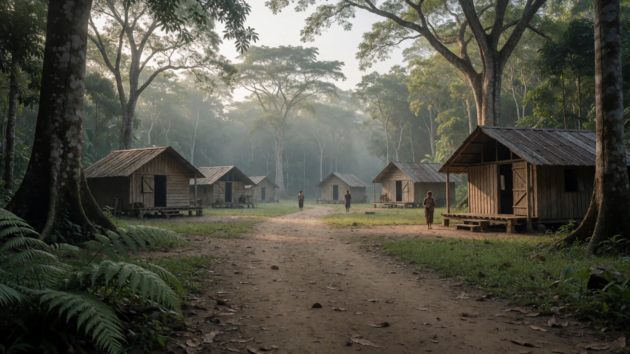
- Mutanyi — Lower mountain country, trekking route
Mutanyi lies further from the main site, on the route through the lower mountain country. Like Mamey, it is best seen as part of the walk rather than a stop in its own right. Ask your guide about the settlement and the people who live in the area, and keep to the paths.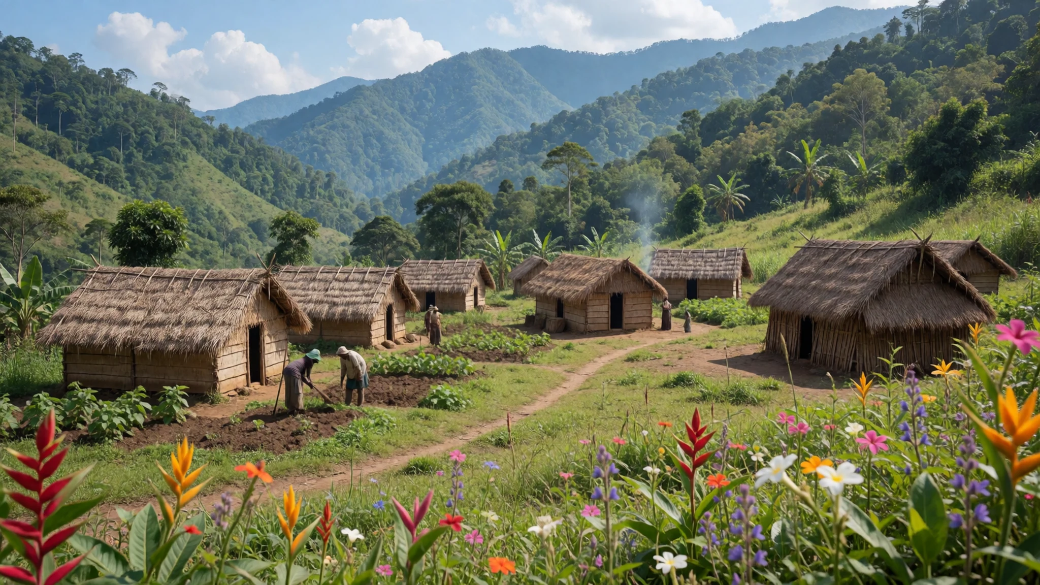
- Streams and waterfalls on the trail — Along the trekking route
Streams and waterfalls line much of the trail, and some have pools where walkers can swim in calm conditions. Swim only when the water looks settled and the sky is clear. When rain begins upstream, leave the water and climb higher at once, because flash floods can rise quickly.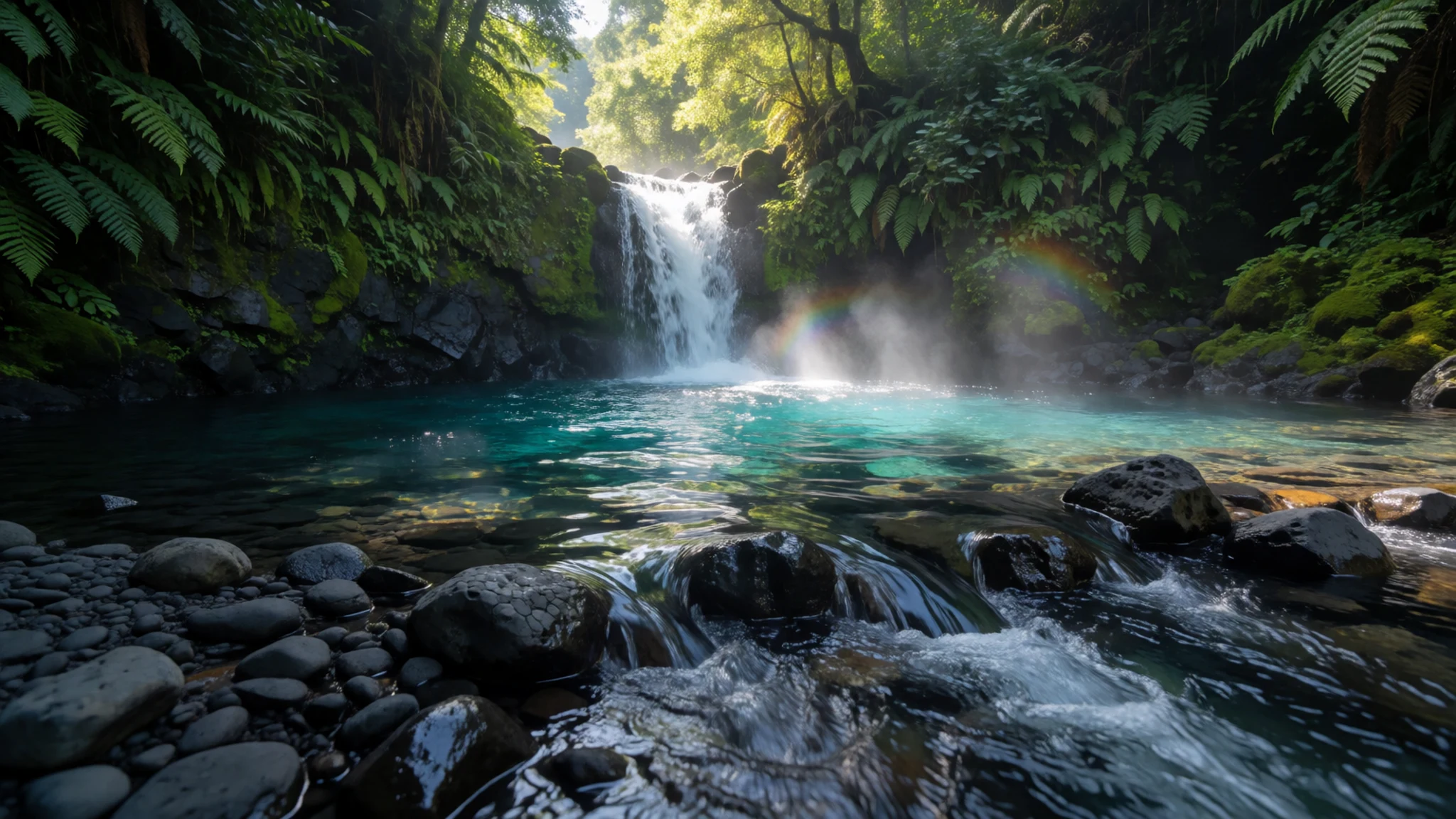
Culture
Ciudad Perdida lies within the territory of the Kogi, whose communities live in the Sierra Nevada de Santa Marta and trace their lineage to the Tairona. Many walkers meet Kogi people on the trail, often wearing white dress and going about daily work. The trek passes through and near their communities under an agreement between the government and tour companies, so visitors are guests on land that is still lived in. Respect is expected at the terraces too, because the site holds deep cultural meaning for the people who see it as part of their history. Dress modestly around villages and avoid loud music or shouting on the path. Ask before photographing any person, and accept a refusal without argument.
What to wear
Ciudad Perdida sits in the homeland of the Kogi, and their traditional dress is the clearest link to the mountains. Kogi men and women are typically seen in white cotton garments, a simple cloth style that is worn daily and in ceremony. The white colour and loose cut suit the heat and give a sense of continuity with older traditions. Woven bags, carried across the body, are also part of everyday life in these communities.
What people wear now is a mix of the traditional and the modern. Many Kogi still wear white cloth in villages, while younger people in towns near Santa Marta may dress in ordinary Colombian clothing. Walkers on the trail often wear synthetic trekking gear, which is common for the terrain.
What a visitor should wear is practical. Pick light, long-sleeved layers that cover the arms and legs against insects and sun, and dress modestly in villages and near religious sites. Quick-dry trousers, a rain jacket and closed walking boots with good grip suit the mud and river stones, and sandals or flip-flops are useful at camp and for crossings.
What to eat
- Beans, rice and meat — The communal dining area at each trekking camp
The main meals at the trekking camps are built around beans, rice and meat, served plainly after long hours on the trail. The food is basic, but hungry walkers find it satisfying. Meals are usually eaten together in the communal dining area at each camp, which is a good time to talk with the group and the guides.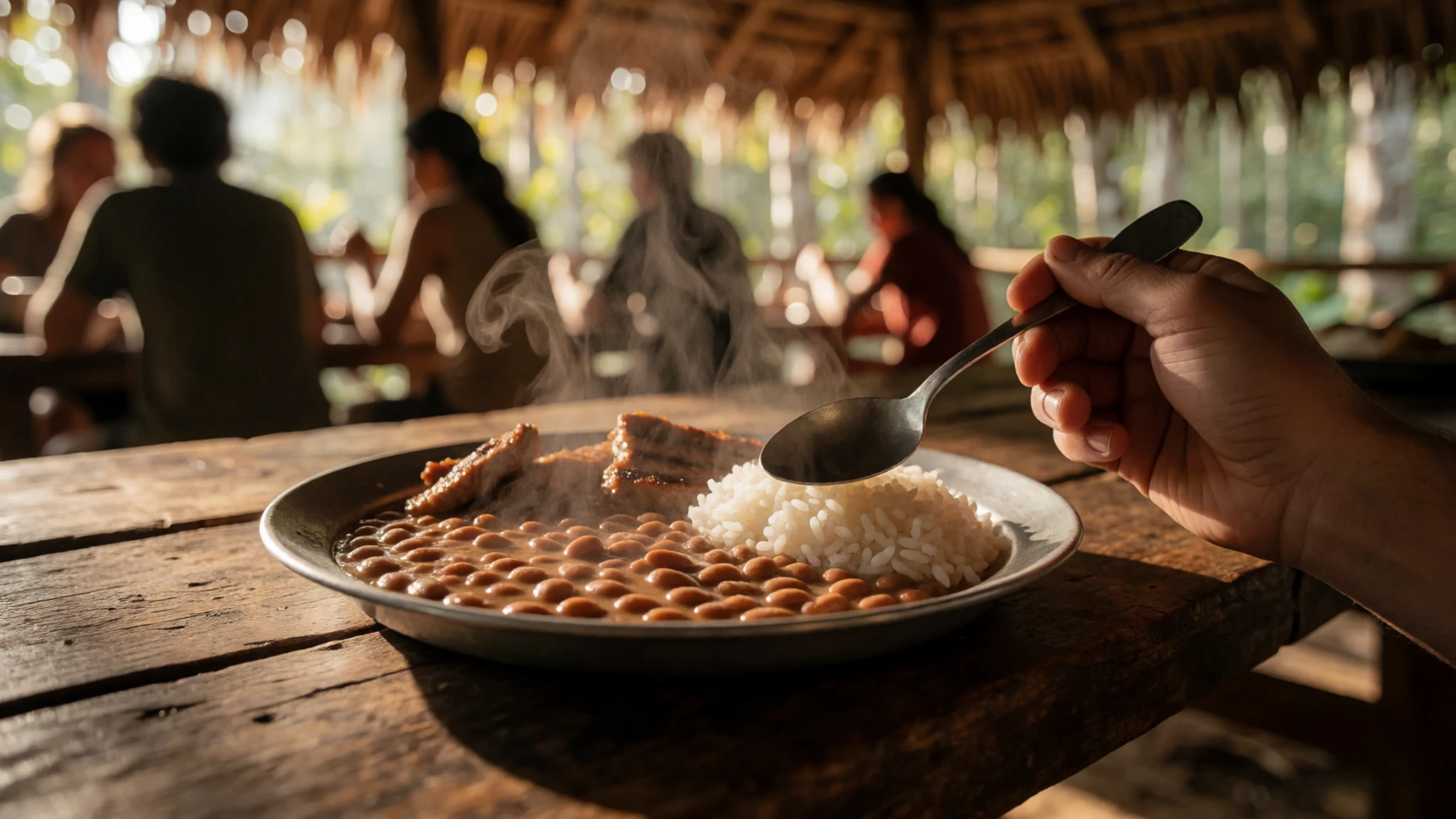
- Fresh fruit at rest stops — Rest stops along the trekking route
Most walks include a break or two during the day, and guides often hand out fresh fruit for a quick energy lift. It is a welcome change from the heavier camp food. Fruit is usually offered at trailside rest points, so there is no need to bring much of your own.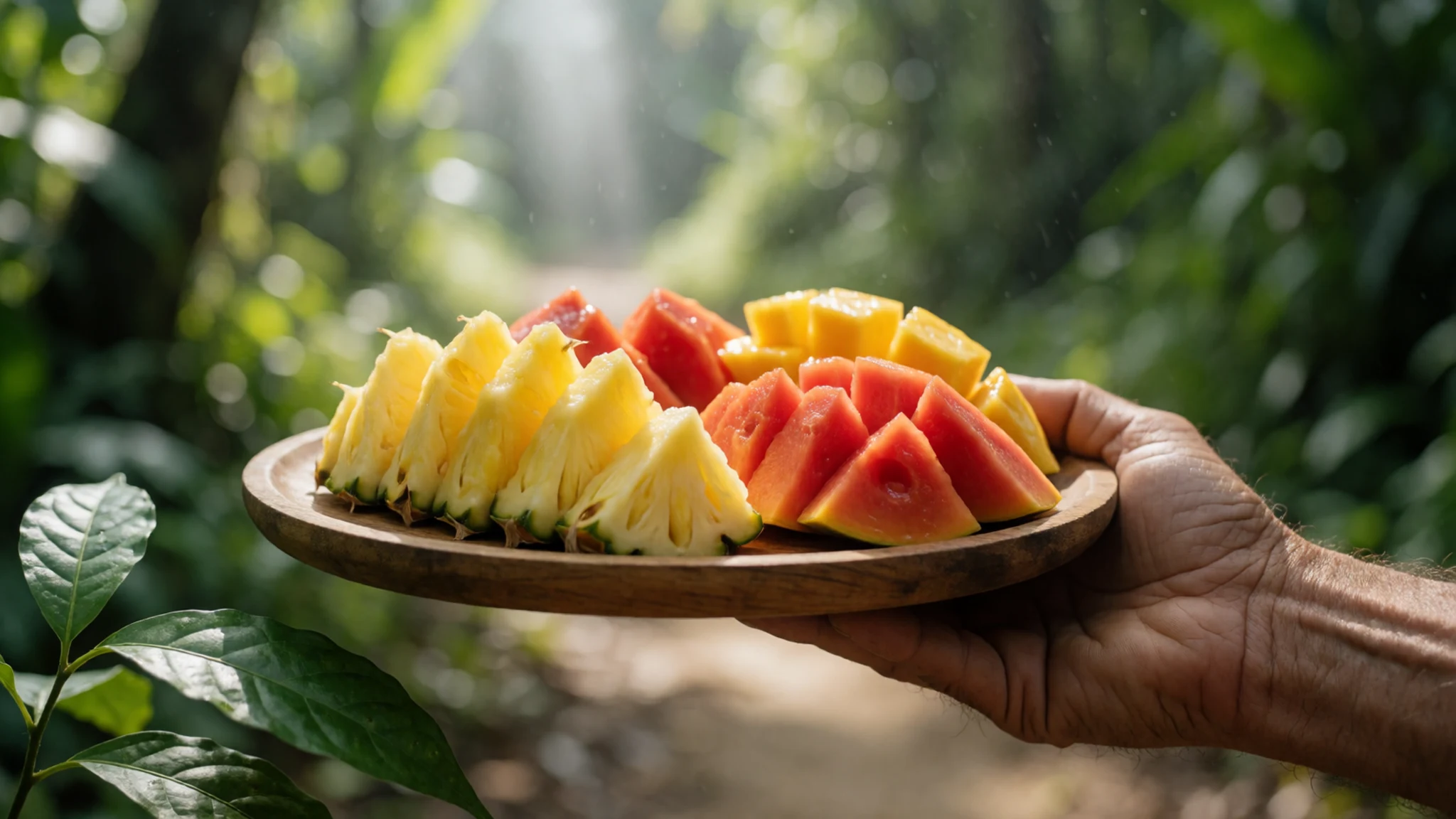
- Simple salad — Camp dining areas, served with the main meal
A small salad usually appears alongside the main meals at camp, offering something fresh after days of hot, filling food. It is simple, with whatever vegetables the camp has at hand. Eating it is a good way to balance the diet on a multi-day walk, especially if fresh produce is scarce elsewhere on the route. - Bottled water and soft drinks — Camp shops at the trekking campsites
Bottled water, sports drinks, cola and beer are sold at most camps, and prices rise the further up the trail you go. Bring enough cash for these purchases, because camp shops may not take cards. Many walkers also carry a small bottle of spirits to share with the group after reaching the city.
Plan it
Best time. Go in the drier months of the year, roughly December to March, when the afternoon rains tend to be less frequent. Rain is possible at any time, and the jungle stays wet and humid, so expect mud and slippery steps whatever the month.
How long. 4–6
Getting there. Fly into Santa Marta, which has the nearest airport, then travel by road to the start of the trek. Tours normally begin and end in Santa Marta or Taganga, and operators can collect you from La Aguacatera on the road to Palomino or from the entrance to Tayrona National Park.
Budget. mid
Tips
- Book through one of the licensed operators based in Santa Marta or Taganga, and confirm what the price covers before paying
- Ask which departure days run in the month you plan to visit, because tours do not leave every day in every season
- Carry cash for camp shops, as cards may not be accepted there
- Start walking early, since afternoon rain is common and river crossings become dangerous once water rises
- Pack a headlamp and a warm layer, because nights in the camps can get cold at height
Etiquette
- Stay on the marked paths and follow your guide's instructions at every stage
- Ask before photographing people, and keep drones packed away
- Carry out all rubbish and use the designated facilities at each camp
Nearby
Sources
- Wikidata Q1094367 (CC0)
- Wikipedia: Ciudad Perdida (rev 1375592394) (CC BY-SA 4.0)
- Wikivoyage: Ciudad Perdida de Teyuna (rev 5400168) (CC BY-SA 4.0)
- Photo 01-lost-city-ruins.jpg, Gavin Rough (CC BY 2.5)
- Photo 02-ciudad-perdida-2.jpg, Giancarlos1234 (CC BY-SA 4.0)
- Photo 03-yael-photos-819.jpg, Wanderingstan (CC BY 3.0)
- Photo 04-view-of-ciudad-perdida.jpg, Dwayne Reilander (CC BY-SA 4.0)
- Photo 05-stone-stairway-to-ciudad-perdida.jpg, Dwayne Reilander (CC BY-SA 4.0)
- Photo 06-koguis-tribeswoman-with-child.jpg, Dwayne Reilander (CC BY-SA 4.0)
- Photo 07-koguis-shaman.jpg, Dwayne Reilander (CC BY-SA 4.0)
- Photo 08-02visita-parque-teyuna-ciudad-perdida-ovidio-gonz-lez.jpg, Presidencia de Colombia (Public domain)


