Capitol Reef National Park
Capitol Reef National Park, United States
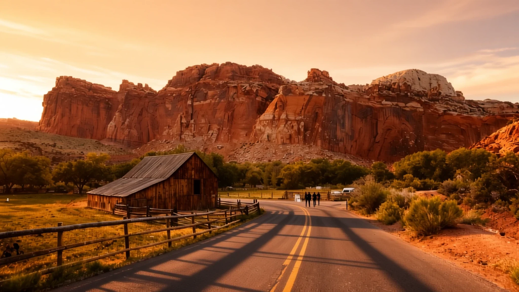
Pale sandstone domes, slot canyons and roadside orchards make Capitol Reef a slow, rewarding stop on Utah's Waterpocket Fold.
The place
Capitol Reef National Park occupies a long, narrow stretch of south-central Utah. It runs roughly sixty miles from north to south but is only about six miles across on average, so the shape of the park follows the rock beneath it. That rock is the Waterpocket Fold, a huge wrinkle in the earth's crust that stretches far beyond the park toward Lake Powell. The park protects the most rugged part of that fold, where the Fremont River has carved through it and left a landscape of canyons, ridges, buttes and free-standing monoliths.
The name comes from the pale sandstone cliffs and rounded domes that rise along the middle of the park. Early observers compared those tops to the cupolas of government buildings, and the word 'reef' describes a long barrier of rock that blocks travel, much as an offshore ridge blocks a boat.
Most visitors arrive by car on the state highway that follows the Fremont River canyon, the main paved route into the heart of the park. The visitor centre sits near Fruita, a historic farming settlement where orchards still line the road. Hiking is the best way to see the terrain, and trails range from short canyon walks to demanding climbs with wide views.
The park is open all year, but May through September brings the most visitors, and summer heat in the lower canyons can be intense. Spring and autumn are gentler. Running water near the visitor centre and campground is safe to drink, but carry your own supply on any walk, because the desert gives little shade and no shops along the trails.
Its story
Capitol Reef National Park has been home to people for a very long time. A thousand years ago, Fremont-culture farmers lived beside the river, watering fields of maize and squash and storing their grain in small stone granaries, some built partly from the dark basalt boulders scattered across the ground.
Around the thirteenth century, the Fremont settlements and fields here were abandoned, probably after a long drought changed the climate and made farming untenable. Paiute families who came later gave the stone storehouses a name, moki huts, and linked them to a small people said to have lived there.
Outsiders arrived slowly. In 1872, Almon Thompson, a geographer who was part of John Wesley Powell's expedition, traversed the Waterpocket Fold as he explored the area. The geologist Clarence Dutton later spent several summers studying its rock layers, though none of these early expeditions explored the fold in any depth. Church leaders in Salt Lake City, seeking to plant communities in the most isolated corners of the region, sent settlers into its valleys after the Civil War.
Conservation came later. President Franklin D. Roosevelt declared a national monument in 1937 to protect the canyons and domes, but the land did not formally open to visitors until 1950. The park itself was established in 1971, and the road through the Fremont River canyon, which opened the area to cars, dates from the early 1960s.
What to see
- Rim Overlook and Navajo Knobs trail — Fruita area, above the Fremont River
This trail climbs to high ground above the river for wide views across the Waterpocket Fold. The ascent is steady and steep in places, with little shade, so start early and carry plenty of water. The summit rewards the effort, especially in soft morning light when the domes and cliffs show their colour most clearly.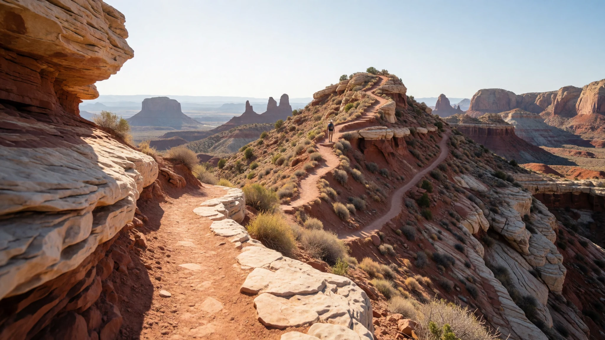
- Cohab Canyon — Fruita area, near the visitor centre
Cohab Canyon is a sculpted passage between walls of pale rock, with side slots and small holes in the stone to explore. It suits visitors who want the feel of the desert without a demanding climb. Keep to the marked path where the canyon narrows, and avoid climbing the walls, which are fragile.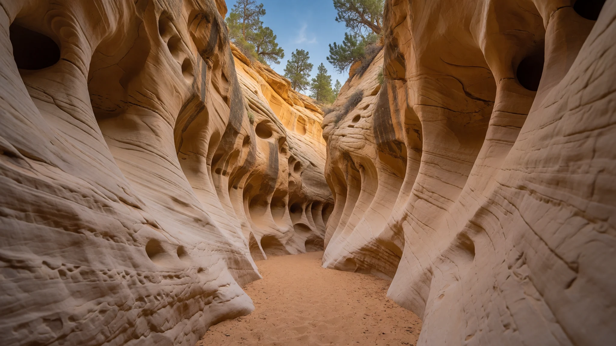
- Hickman Bridge — Fruita area, trail from the main road
Hickman Bridge is a natural arch of sandstone reached on foot from the main road. The trail is a moderate, steady climb with some loose footing, and the arch makes a good turnaround point for a morning walk. Go early, because the trail has little shade and gets hot by late morning.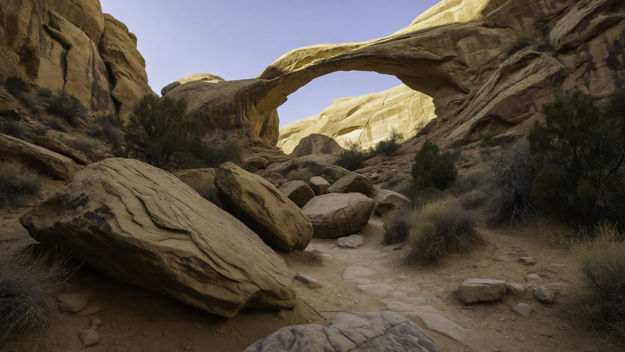
- Capitol Gorge — southern part of the park, reached by the gorge road
Capitol Gorge is a deep, winding canyon cut through the Waterpocket Fold, once a route used by travellers crossing the rock. Its sandy floor and high walls make it a classic desert walk. Narrow canyons like this can flood without warning when storms fall far upstream, so check conditions before entering and never walk it in rain.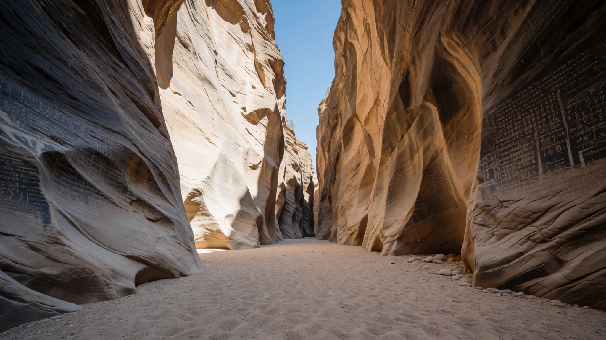
- Navajo Dome — park interior, near the rock domes
Navajo Dome is one of the rounded sandstone domes that gave the park its name. Its smooth, pale surface and the high ground around it give a long view across the fold. Allow time for it rather than rushing, carry water, and wear shoes with grip, since bare rock can be slippery when damp.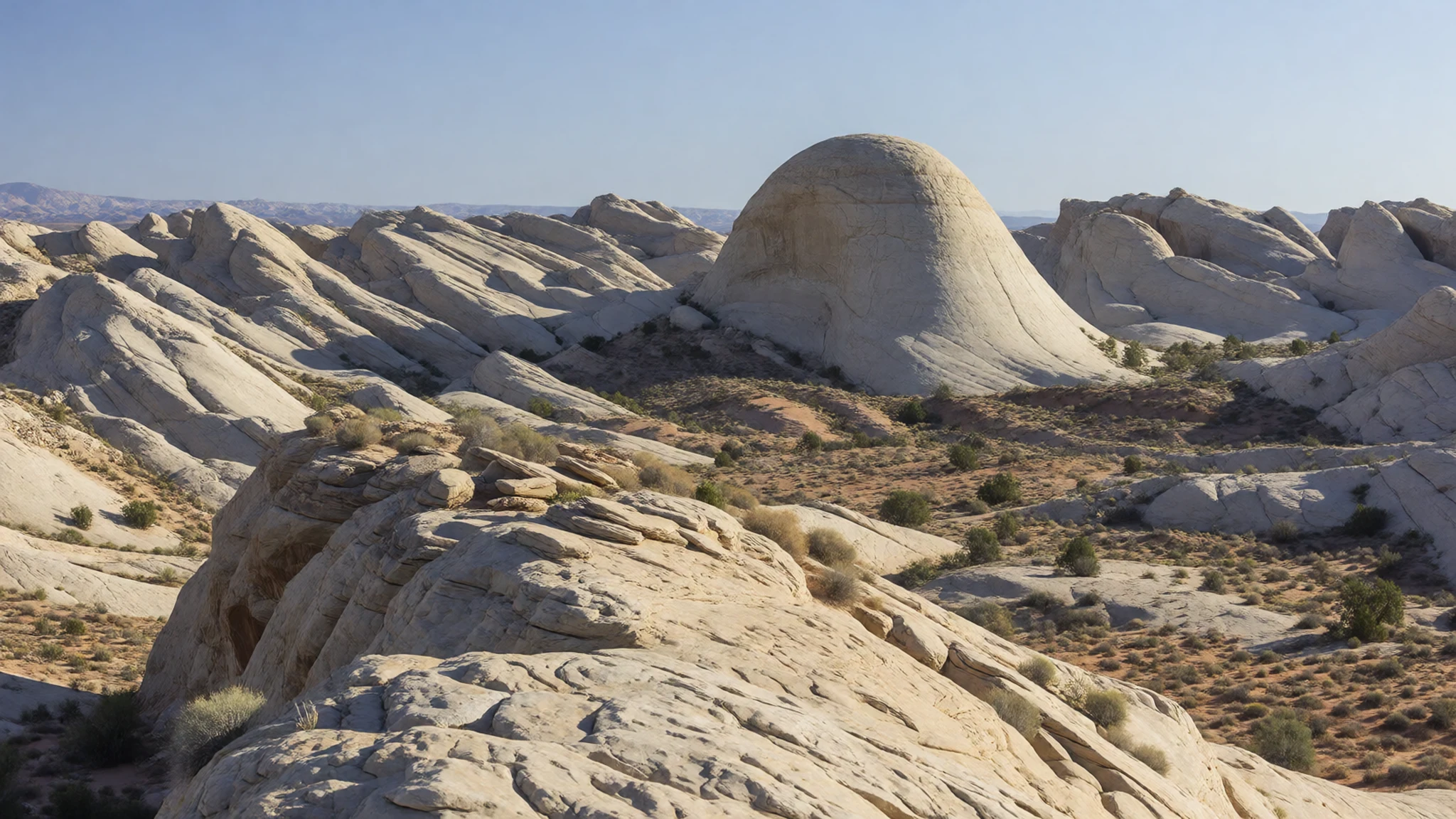
- Orchards along the state highway — Fremont River canyon road, near Fruita
The orchards along the state highway near Fruita are among the park's most unusual features. Cherry, apricot, peach, pear and apple trees grow in plots of varying size, and the road is lined with them. Blossom arrives in early spring, while the harvest runs through summer into autumn, so check which fruit is ready before you go.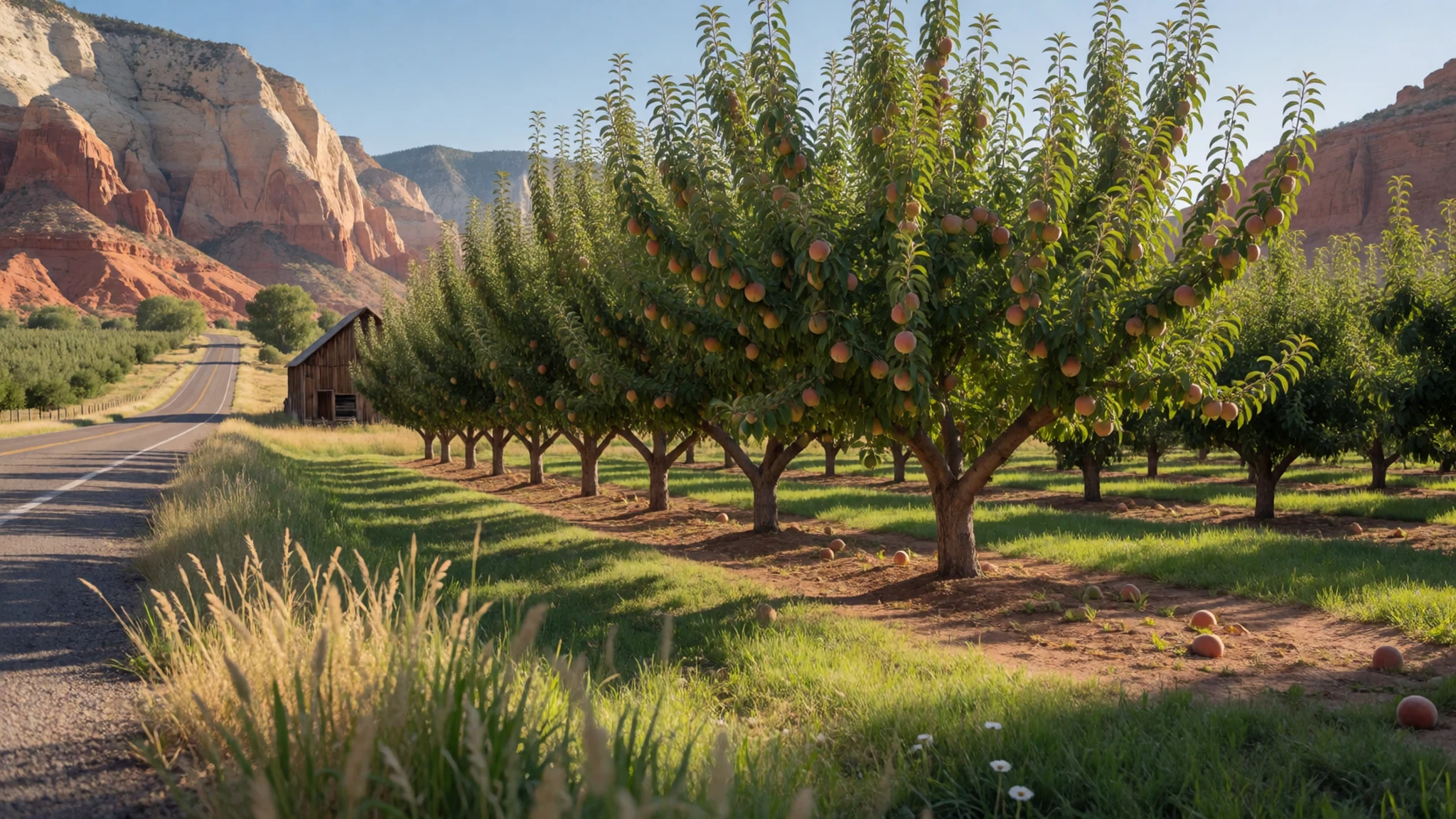
Culture
Capitol Reef National Park is a landscape with a long human history, and visitors are guests in it. The Fremont granaries along some routes are ancient structures built by farmers who lived here many centuries ago, and they are fragile. The Paiute families who came later also have deep ties to these canyons, so the park's stories are not only about geology. The orchards along the road belong to a shared, generous approach to the land: anyone may eat ripe fruit in unlocked plots, but the rules for taking it away change with the season. Visitors also respect the small seasonal pools that wildlife depend on, and keep voices low when they meet others on narrow canyon paths, because sound carries off the walls. Do not climb on, lean against or take stones from the old granaries, and leave the seasonal pools alone, since local wildlife depend on them.
What to wear
The clothing once worn by the Fremont farmers who lived beside Capitol Reef's river is poorly preserved, so little can be said with confidence about its cut or cloth. Later Paiute families wore practical dress suited to a dry climate, with hide, plant fibre and woven cords used for clothing and bags. The settlers who followed relied on wool and cotton cloth, sturdy boots and wide-brimmed hats for farm work and long rides.
Today people in the park wear ordinary outdoor clothing: hiking trousers, lightweight long-sleeved sun shirts, caps and sturdy boots. Few people dress up here, and the orchards and visitor centre call for nothing more formal than clean, practical layers.
A visitor should dress for strong sun, dry air and cold nights, which can arrive quickly after a hot afternoon. Bring layers, a hat, sunglasses and sun cream. Choose closed shoes with good grip, because sandstone can be slippery when damp and fine sand gets into everything. At the few churches and small communities near the park, modest clothing is the sensible choice.
What to eat
- Ripe orchard fruit — unlocked orchards along the state highway near Fruita, in season
Cherry, apricot, peach, pear and apple trees grow in small plots along the road. In unlocked orchards you may eat ripe fruit on the spot, but take it away only during that variety's harvest, which usually runs from early June into mid-October.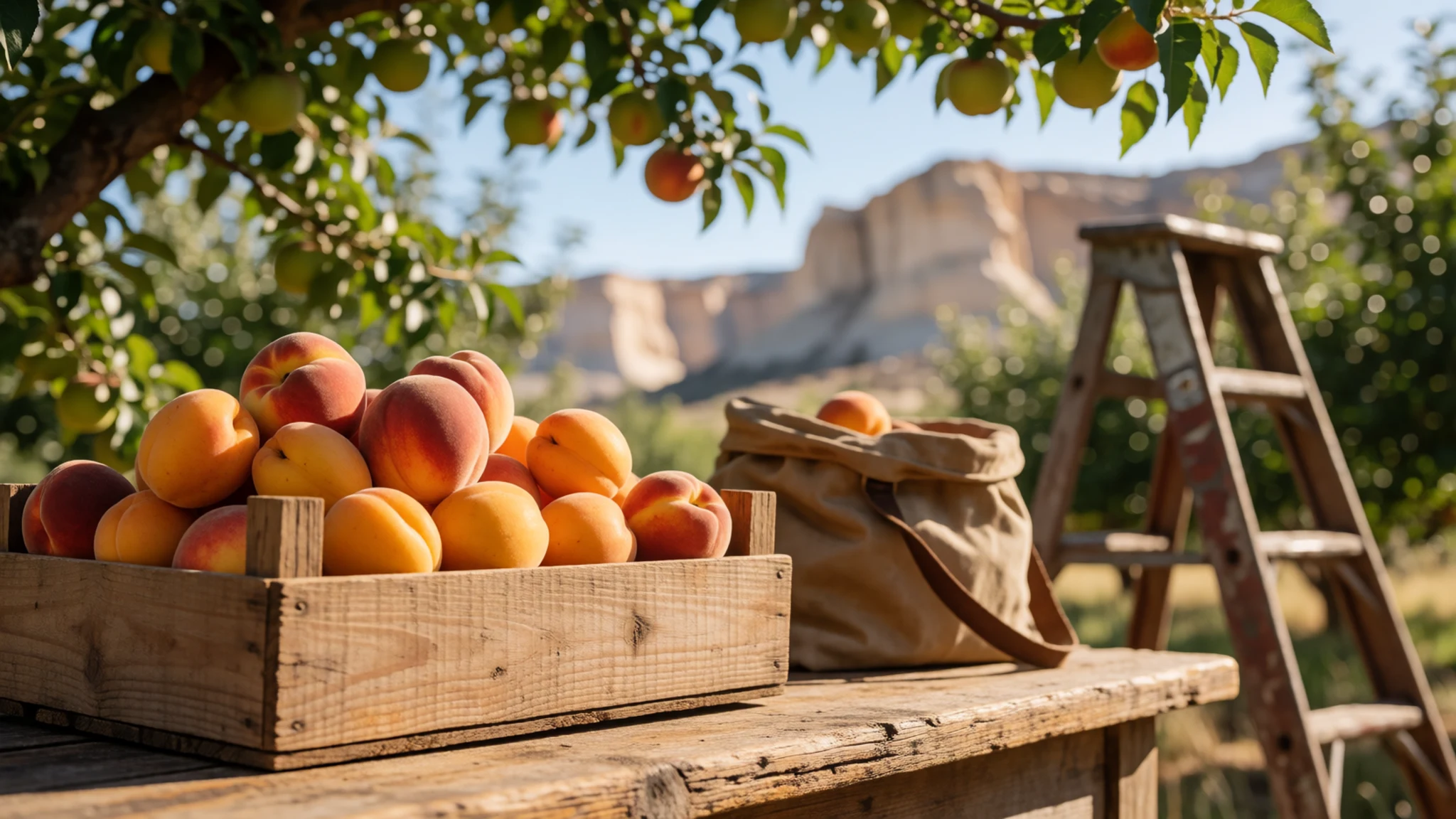
- Pies, scones and artisan bread — the visitor centre and the Gifford Farmhouse
Freshly baked fruit pies, scones and loaves of artisan bread are the park's own treats, sold in small quantities. They make a good picnic base for the canyon walks. Arrive early in the day for the best choice.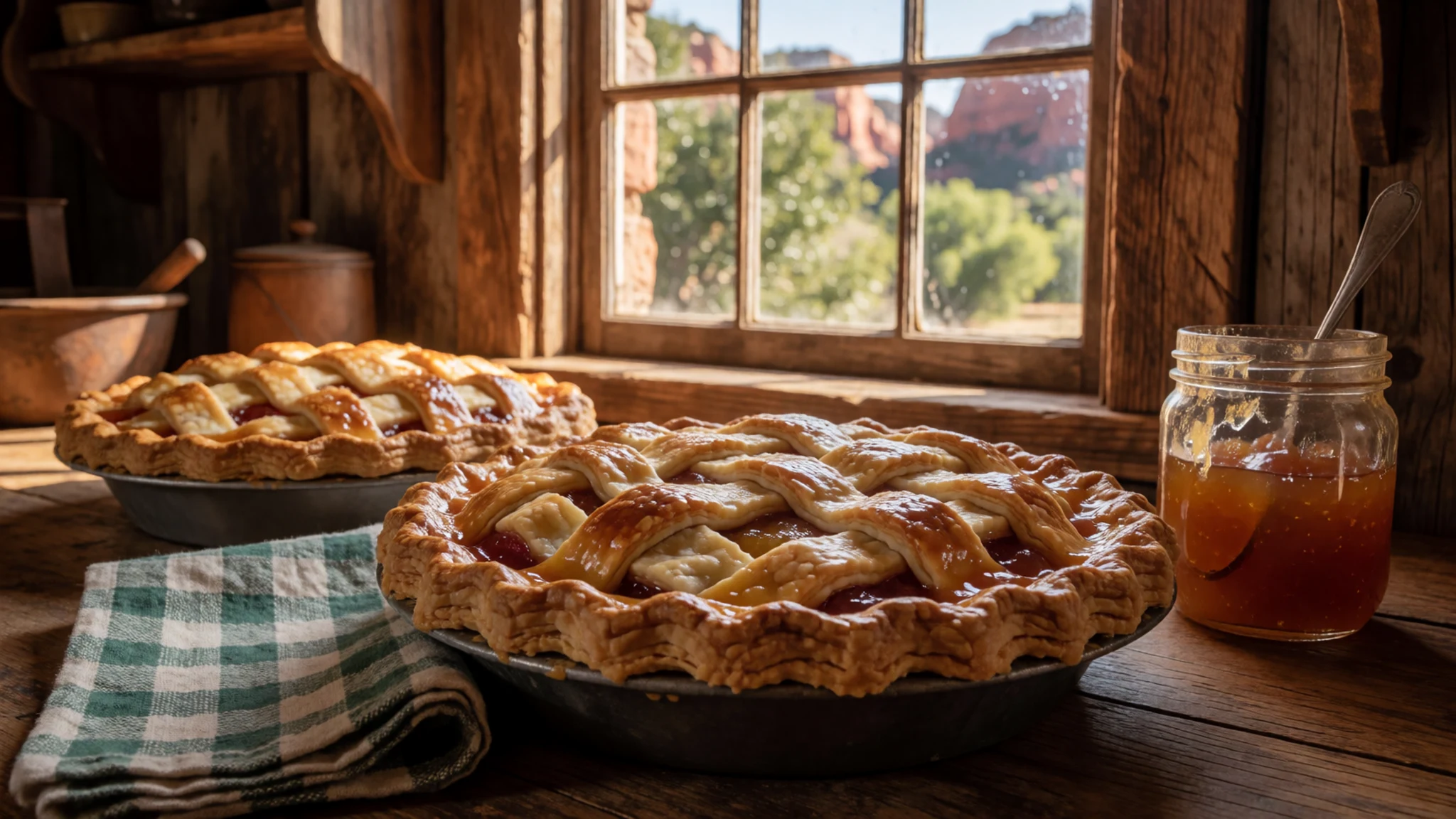
- Salsa, jam and fruit butter — shops and stalls in Torrey, the small town just outside the park
Many of the salsas, jams and fruit butters sold in the park come from Torrey, the small town just outside it. Local makers mix fruit with chilli and spices, so taste before you buy. Pack the jars carefully for the drive home. - Ice cream — the visitor centre
Ice cream is one of the few cold treats available inside the park and is most welcome after a hot morning on the trail. Save it as a reward at the end of a walk rather than the start, and eat it in the shade if you can.
Plan it
Best time. April and October are the most comfortable months, with mild days and cool nights, while July is the hottest month and May and September run hot too. The desert is warm but not punishing, the orchards blossom in spring and fruit in autumn. Summer brings the most visitors and high heat in the lower canyons, while winter is cold and quiet.
How long. 2–3
Getting there. Fly to Salt Lake City, then drive south for several hours on the interstate and a state highway. The last leg follows the highway through the Fremont River canyon, which is paved; the Burr Trail road reaching the park's skinny south end from the west is unpaved, very steep and not passable when wet, so leave it for a dry day in a high-clearance vehicle.
Budget. mid
Tips
- Arrive at the visitor centre early for the first walk, before the midday heat
- Check flash flood forecasts before entering any narrow canyon, because storms miles away can send water down a wash
- Carry all the water you will need, since there is no food for sale on the trails
- Expect busy roads and full car parks on spring and summer weekends, so plan trailheads for the morning
- Bring some cash for roadside fruit stalls and small purchases, and check the official site at nps.gov/care for current road and trail conditions
Etiquette
- Eat ripe fruit only from unlocked orchards, and carry fruit away only during its harvest season
- Leave seasonal pools and wildlife undisturbed, and filter any backcountry water before drinking
- Stay on marked trails near the granaries and do not remove stones from them
Nearby
Sources
- Wikidata Q129902 (CC0)
- Wikipedia: Capitol Reef National Park (rev 1370355892) (CC BY-SA 4.0)
- Wikivoyage: Capitol Reef National Park (rev 5242088) (CC BY-SA 4.0)
- Photo: Capitol Reef - Cathedral Valley, Bob Palin (CC BY-SA 2.5)
- Photo: Capitol Reef National Park, Wolfgang Staudt (CC BY 2.5)
- Photo: Cathedral Valley in Capitol Reef National Park, NPS / Damian Popovic (Public domain)
- Photo: NPS Capitol Reef National Park map, National Park Maps (Public domain)
- Photo: Fruita School House, Staplegunther / David Jolley (CC BY 3.0)
- Photo: Capitol Gorge, Oliver Dodd (CC BY 2.5)
- Photo: Navajo Dome, benito roveran (CC BY 2.5)
- Photo: Capitol Reef National Park, Elf (CC BY 3.0)


