Canyonlands National Park
Canyonlands National Park, United States
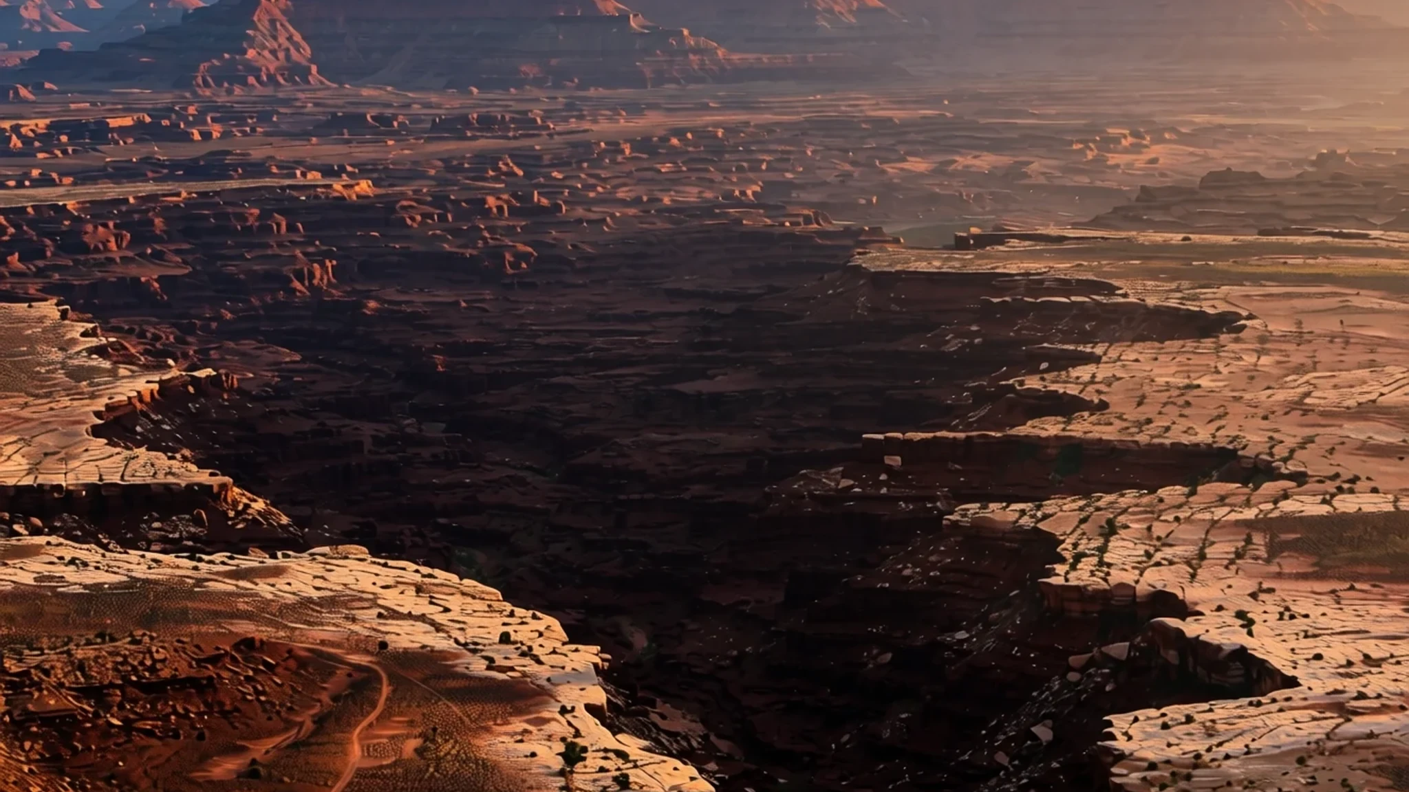
Canyonlands is a vast desert of canyons and mesas carved by two rivers, and it rewards those willing to drive a little further.
The place
Canyonlands National Park sits in southeastern Utah, close to the town of Moab. The Colorado River and the Green River, along with their tributaries, have eroded the land here into a maze of canyons, mesas and buttes. The park was created in 1964, and it is large enough that most visitors see only one part of it on a single trip.
The park is divided into four districts. The Island in the Sky is a broad, level mesa in the north, lying between the two rivers, and it is the district most visitors reach first. Its viewpoints look down onto the White Rim, a sandstone bench far below, and beyond that to the rivers themselves. The Needles lies south of the Island on the east side of the Colorado and takes its name from banded red and white rock pinnacles. The Maze is remote and rugged, cut by deep, twisting ground that suits experienced walkers. The fourth area is where the Green and Colorado meet and flow through Cataract Canyon.
Each district has its own character, but they share a dry, open, primitive feel. Water is scarce, shade is rare and the sky is enormous. The rivers are the reason the scenery exists, and most of the views people come for are looks down into their cuts. Visitors often expect a single canyon and leave realising the park is a set of separate worlds, so it helps to choose one or two districts rather than trying to see everything.
Its story
Canyonlands National Park took shape through a campaign that began with one man's explorations of the desert south and west of Moab. Bates Wilson, then superintendent of Arches National Monument, explored that country in the early fifties. After seeing what is now the Needles district, he argued for a new national park that would include it. Further exploration widened the proposal to take in the meeting point of the Green and Colorado rivers, the Maze, and Horseshoe Canyon.
The idea gained a powerful ally in 1961. Stewart Udall, the Secretary of the Interior, was flying to a conference at the Grand Canyon when he passed over the confluence of the two rivers. The view seems to have convinced him, and he began promoting Wilson's plan.
Getting it through Congress was slower. Utah Senator Frank Moss introduced the first bill, which was designed to satisfy two groups who wanted different things: preservationists who wanted the land kept wild, and commercial developers who wanted access and use. Over the following years the bill was struck down, debated, revised and reintroduced more than once before it finally passed.
In September 1964, President Lyndon B. Johnson signed the measure that made Canyonlands a national park. The compromise shaped its boundaries and its mix of districts. The land itself still carries the story of its making, with mesas that were once level ground and canyons that still drop away from the edge.
What to see
- Grand View Point — Island in the Sky
Grand View Point sits at the end of the Island in the Sky mesa and gives a broad look across the canyons. It is busy at sunset, so arrive early for a spot at the edge. The light turns the rock deep orange and red in the late afternoon, and the view runs out across the desert on a clear day.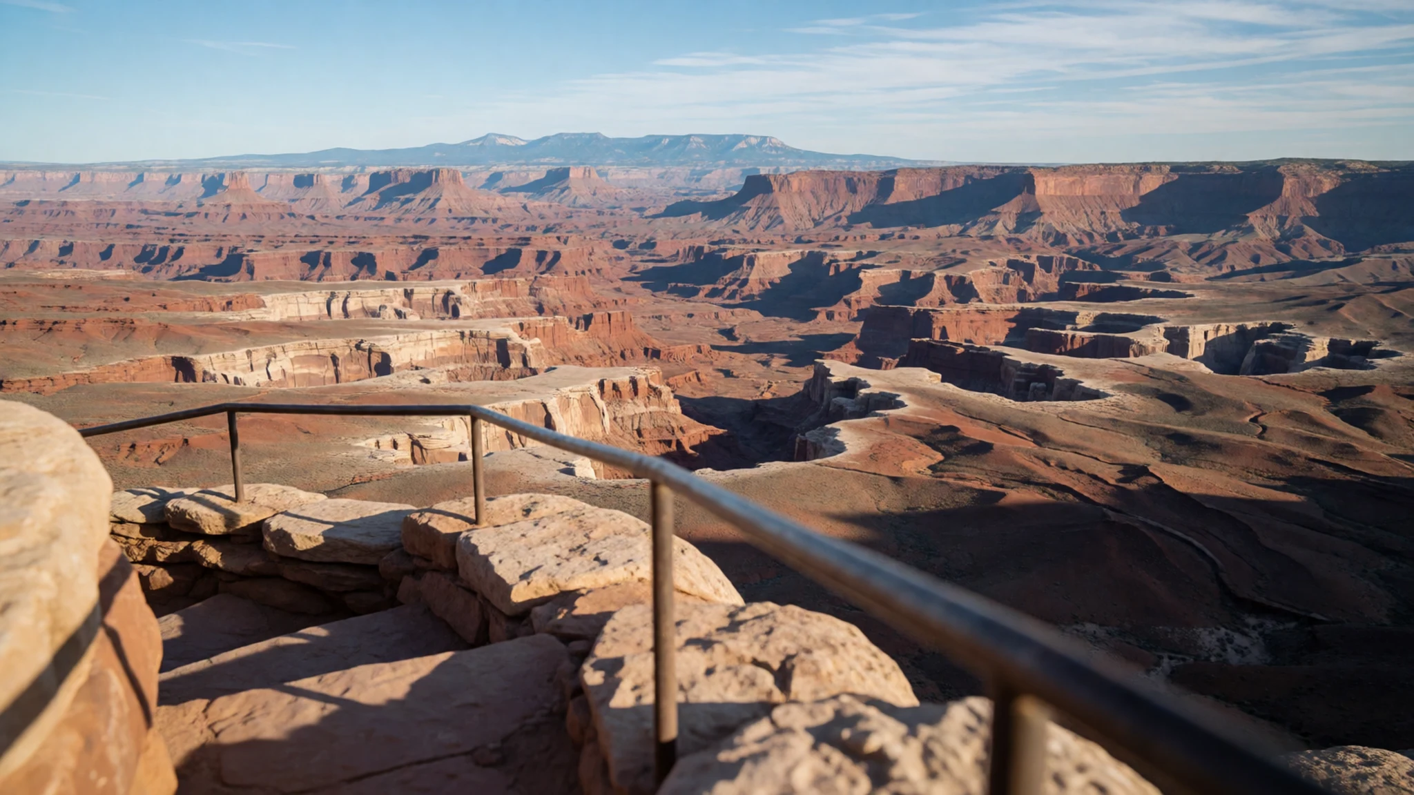
- Green River Overlook — Island in the Sky
Green River Overlook is one of the few places at the Island in the Sky where you can actually see the river below. The Green, together with the Colorado, cut the canyons you are looking into. The overlook is especially scenic at sunset, when the cliffs glow and the water catches the last light. Bring water, since the desert air dries you out quickly.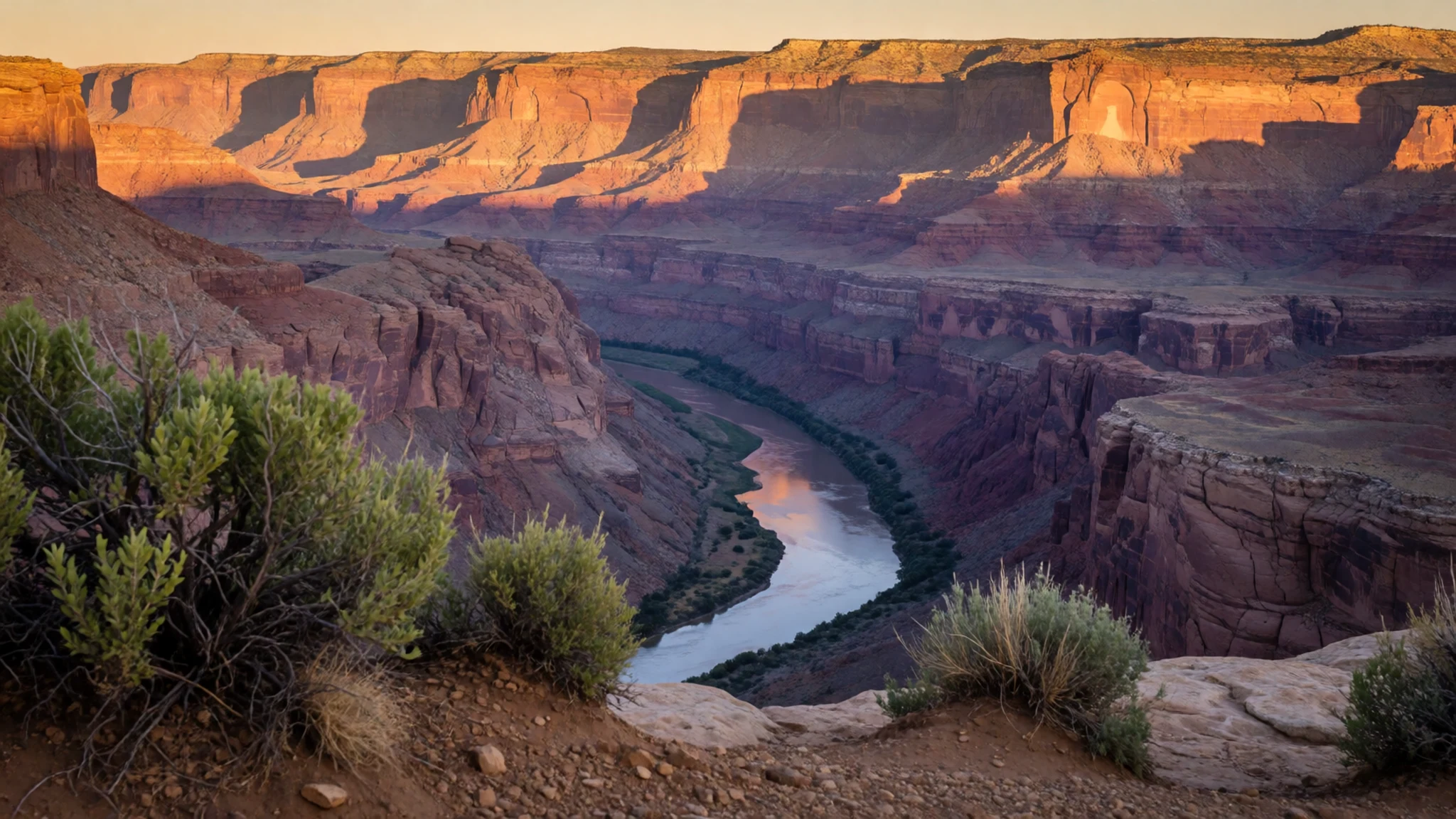
- Upheaval Dome — Island in the Sky
Upheaval Dome is an unusual crater that you can reach by a short but strenuous trail. The walk climbs toward the rim, giving views into the bowl and out across the desert. Go in the cooler hours, carry plenty of water, and allow extra time for the climb back.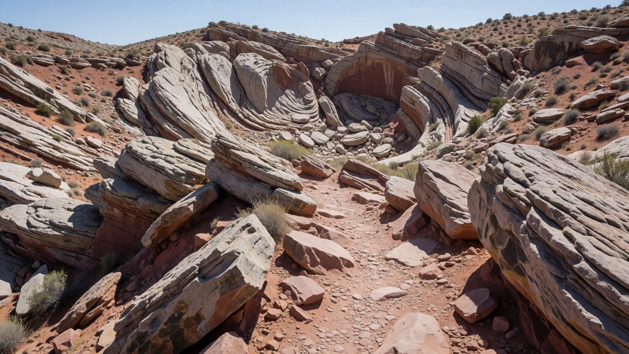
- Mesa Arch — Island in the Sky
Mesa Arch is a natural arch on a rim close to the Island in the Sky road, and it is the photograph many people come for. The arch is best seen at sunrise, when the light catches its underside and the canyon below glows. Arrive well before dawn, since the viewing area gets crowded and the light changes within minutes.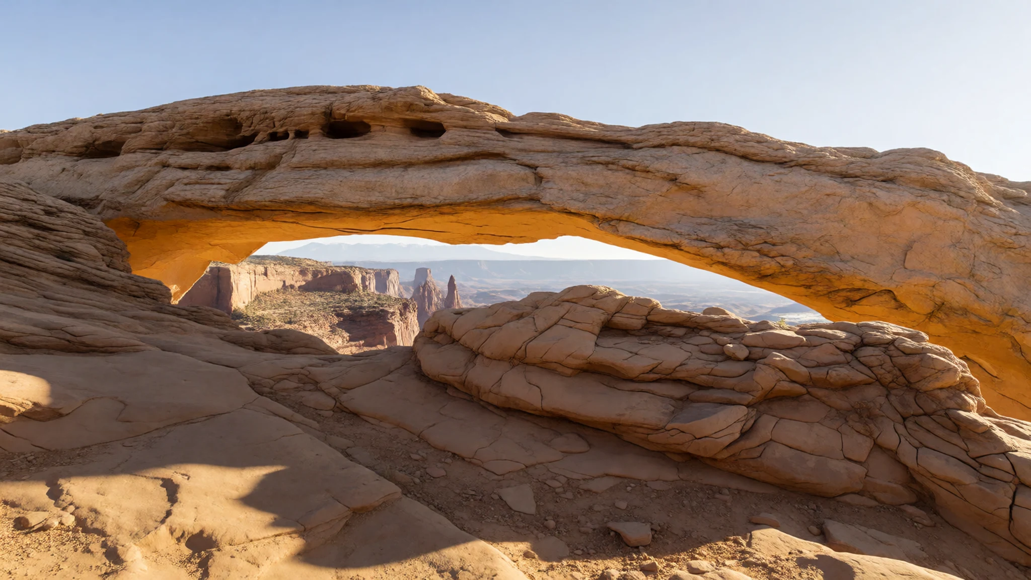
- Joint Trail — Needles district
The Joint Trail follows a narrow crack in the earth through the Needles, with walls that rise several storeys on either side. Parts of it are only a few feet wide, so the path feels close and cool. It is a walk for steady feet, since the floor can be sandy and uneven. Bring water and watch the sky, because the crack is a poor place to be in a flash flood.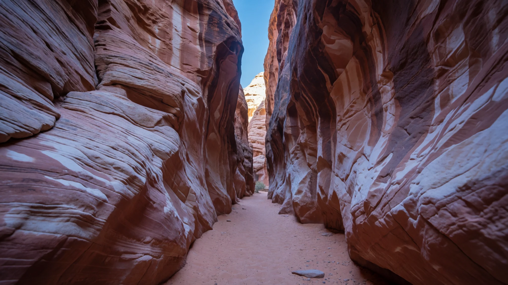
Culture
Canyonlands has a quiet, working culture of its own, shaped by rangers, visitor centres, and a steady flow of hikers, cyclists and four-wheel-drive drivers who come for the solitude. The desert around it has long been home to Native peoples, and the ancient Puebloan builders left stone structures such as Tower Ruin, which you can reach on foot or by four-wheel drive. Those ruins are protected, so treat them as the sites they are: keep to marked paths and do not move stones or build cairns near them. Visitors share a small number of roads and trailheads, so pull fully off the road when stopping and keep voices low at overlooks where others are watching the light. Ask rangers about current conditions, since trails can close after rain or heat. Leave every rock, potsherd and ruin exactly as you find it, and carry out everything you bring in.
What to wear
Canyonlands has no dress of its own, but the land around it carries older traditions. The ancient Puebloan people who built Tower Ruin, and the Native nations of the wider Colorado Plateau, wove cloth and cord from plant fibres and made footwear and bags suited to rough ground. Some Native communities in the region still wear beadwork, silver jewellery and woven textiles at ceremonies. Ask at local cultural centres before photographing or asking about specific garments.
What people wear now is practical. Hikers and campers in Moab and the park wear lightweight shirts, long trousers, hats, and sturdy trail shoes or sandals with grip. Fleece is common, because nights turn cold from autumn through spring. Cyclists and off-road drivers bring their own gear, and in town the look is relaxed.
For a visit, dress for sun, wind and cold. Choose breathable layers that cover the arms, a wide-brimmed hat, sunglasses and sun cream. Closed shoes with good grip suit the sandstone, which can be slick and loose. Carry a warm layer for dawn at the viewpoints, when the temperature drops sharply before sunrise. No religious dress code applies inside the park, but modest, covered clothing is respectful at any ceremony or community event you may be invited to.
What to eat
- Packed trail lunch — Delis and grocery stores in Moab, the town outside the park
There is no food sold inside Canyonlands, so bring a lunch from Moab before you drive in. Sandwiches, fruit, nuts and salty snacks travel well and suit a long day in the heat. Pack more water than you think you need, since the desert takes it quickly.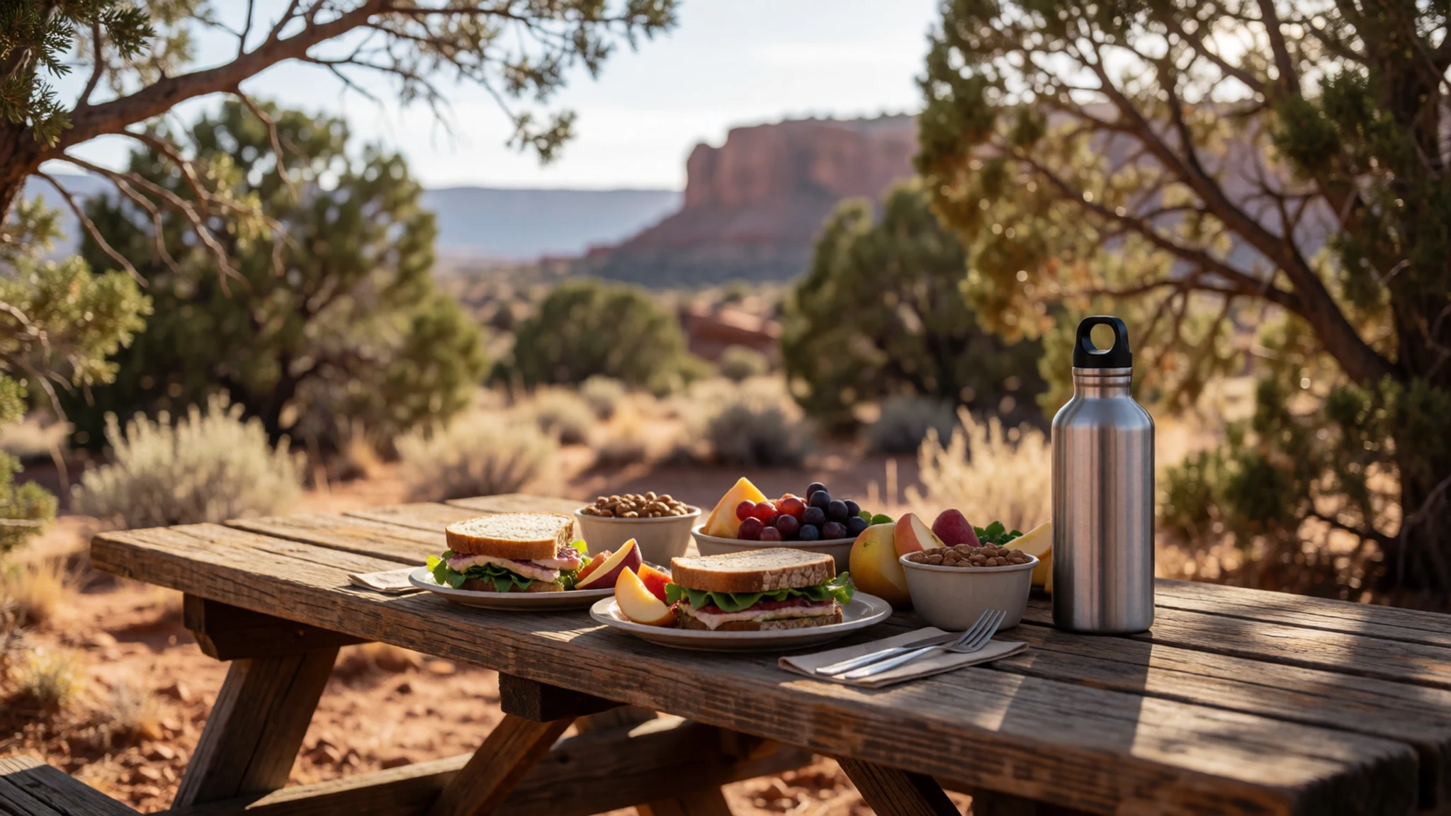
- Burgers and fries — Diners and casual eateries in town
Burgers and fries are a common end-of-day meal in Moab, where diners cater to people back from the canyons. Eat early, since kitchens in small towns close sooner than you might expect. Expect plain menus and generous portions.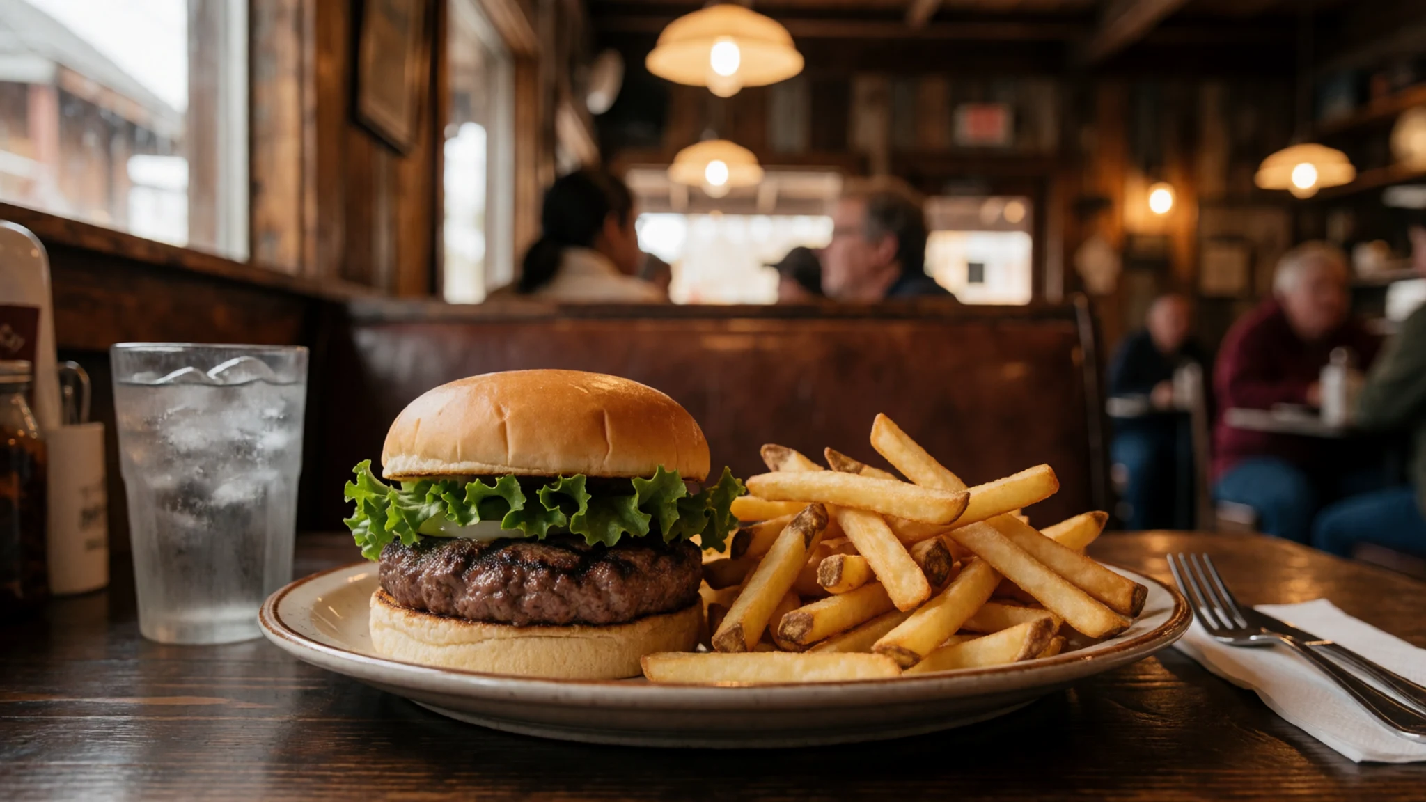
- Bottled water and drinks — Visitor centres inside the park, with supplies bought in Moab beforehand
The visitor centres sell bottled water and provide fountains, so refill there before heading out on a trail. Water found along the way has to be treated before drinking to prevent disease, so do not rely on it. Buy a spare bottle for the car as well. - Southwestern plates — Restaurants in Moab, the town nearest the park
Moab restaurants often serve grilled meats, beans, corn and chilli-spiced dishes that reflect the wider Southwest. Try a plate in the evening after a hot day, when the air cools and the town fills. Ask staff what is fresh, since menus change with the season. - Simple camp cooking — Campsites in and around the park; check the rules at the visitor centre
If you stay at a campground, cook simple meals on a stove or over a grill where fires are permitted. Pasta, eggs and tinned beans are easy to carry and quick to cook. Keep food sealed and away from wildlife, and take all rubbish with you.
Plan it
Best time. April to May and September to October suit Canyonlands best, when days are warm, though nights can drop to or below freezing. Summer afternoons are very hot and the sun is fierce on the open ground, while winters bring cold nights and occasional wet weather.
How long. 2–3
Getting there. Fly to Canyonlands Field, a small airport a short drive north of Moab, which has commuter service to Denver; check current flights first. The last leg is by car: take the highway north of Moab to the Island in the Sky road, or head south for the Needles. Expect about an hour's drive from Moab to the Island in the Sky visitor centre.
Budget. mid
Tips
- Visit the Island in the Sky viewpoints early or late in the day, when the light is best and the car parks are less full.
- Check current road and trail conditions on the official site, nps.gov/cany, before you set out.
- Carry more water than you think you need, since none is sold on the trails.
- Fill up with fuel and supplies in Moab before entering, because services inside the park are limited.
- Give the Needles and the Maze a full day each if you want to walk them, as the distances are long and the ground is rough.
- Watch the forecast, since summer storms can bring flash floods to the canyons.
Etiquette
- Stay on marked trails and do not build cairns or move stones.
- Keep vehicles on established roads and off the desert crust.
- Give way to other walkers on narrow sections such as the Joint Trail.
- Leave artefacts, pottery and ruins untouched at sites such as Tower Ruin.
Nearby
Sources
- Wikidata Q541856 (CC0)
- Wikipedia (rev 1380428451) (CC BY-SA 4.0)
- Wikivoyage (rev 5236861) (CC BY-SA 4.0)
- Photo 01 Green River Overlook, mtnscll, via Wikimedia Commons (CC BY-SA 2.0)
- Photo 02 Island in the Sky, Qfl247, via Wikimedia Commons (CC BY 3.0)
- Photo 03 Chesler Park, brewbooks, via Wikimedia Commons (CC BY-SA 2.0)
- Photo 04 Chocolate Drops in Evening Light, CanyonlandsNPS, via Wikimedia Commons (CC BY 2.5)
- Photo 05 Pronghorn in Canyonlands, Kool Cats Photography, via Wikimedia Commons (CC BY 2.5)
- Photo 06 Juniperus Osteosperma, SBirdsell, via Wikimedia Commons (CC BY-SA 4.0)
- Photo 07 Upheaval Dome, Kent G. Budge, via Wikimedia Commons (CC0 1.0)
- Photo 08 Canyonlands Needles, Molas, via Wikimedia Commons (CC BY-SA 2.5)


