Børgefjell National Park
Børgefjell National Park, Norway
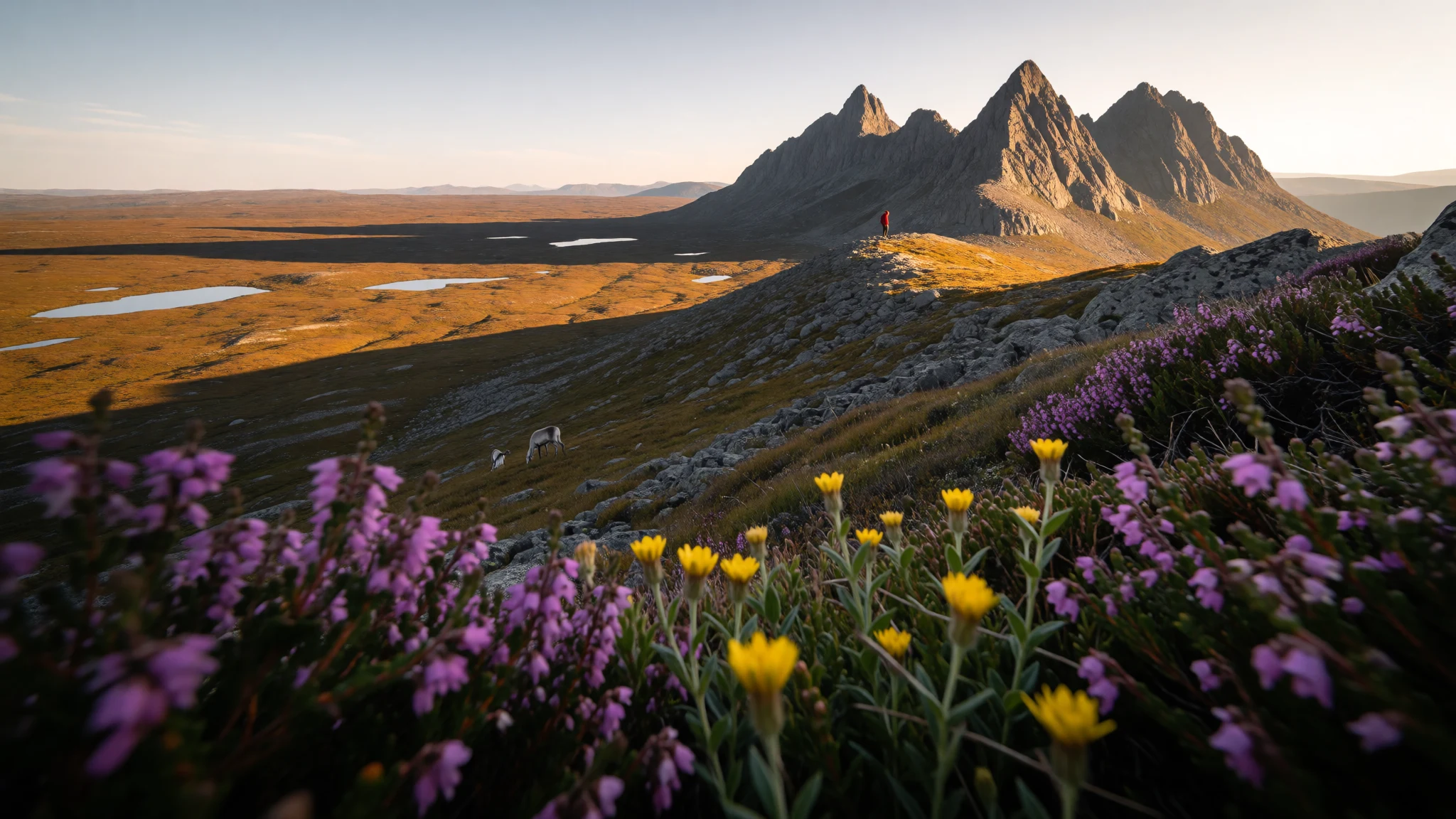
Børgefjell is a roadless, almost facility-free mountain park in Northern Norway, where walkers can go for days without meeting another person.
The place
Børgefjell National Park lies in Northern Norway, straddling the line between Trøndelag and Nordland counties and running up against the Swedish border. It is deliberately undeveloped. Trails are few, facilities are close to non-existent, and a walker can spend days on the high ground without meeting anyone. Four municipalities share the land: Hattfjelldal, Grane, Namsskogan and Røyrvik. The park was founded in 1963 and enlarged twice, in 1973 and again in 2003, so today's outline is much wider than the original protected area. Its Southern Sami name is Byrkije vaarjelimmiedajve.
That emptiness is the whole point. Børgefjell has no ticketed viewpoints and no staffed lodges to anchor a day around. It is open mountain country where route-finding, weather and self-reliance matter more than any list of sights, and where help is a long way off if something goes wrong.
The wider region gives some context. Nordland, the county on the park's western side, is a long, thin stretch of Norway squeezed between the Swedish frontier and the Atlantic. Its coast is a fringe of low islands and skerries with mountains rising abruptly behind. Børgefjell is the inland, upland counterpart to that scene: similar rock, but far from the sea lanes and far quieter. Most people reach it through valley towns and then simply walk in. It suits experienced hikers who enjoy solitude and are happy to plan a trip as carefully as they would for any remote area.
Its story
The story of Børgefjell begins with the Sami, who controlled this land until the early twentieth century. Reindeer herding here goes back at least 500 years, and the mountains and valleys were worked as grazing and hunting ground across many generations. Traces of that life survive as Sami cultural monuments, including old settlement sites and hunting stations. They are found inside the park and in the border areas around it, and they are part of what the protection is meant to safeguard.
Norwegian farming arrived much later. The first farms appeared at the end of the 1700s and the start of the 1800s, and settlement grew steadily from then on. The usual reason was pressure on land elsewhere: families with little room in older farming districts pushed into marginal country at the edge of the mountains and tried to make a living there. It was a hard way to farm, and it sat alongside a herding culture that was already centuries old.
Formal protection came in 1963, when the national park was first established. Later enlargements, in 1973 and 2003, brought more of the surrounding country into the park, and the area now stretches across four municipalities. What visitors walk through is therefore both a protected wilderness and a working, lived-in landscape with a long human history. The absence of roads, huts and signposts is a choice, made to keep the mountains quiet and the old sites undisturbed.
What to see
- Børgefjell's high country — Inside the park, on the Trøndelag–Nordland border
The park's main attraction is the walking itself: open mountain terrain with few marked routes and almost no company. Børgefjell is best approached as a multi-day trip with a good map, a compass and a flexible plan. The reward is silence, wide horizons and the sense of being properly away.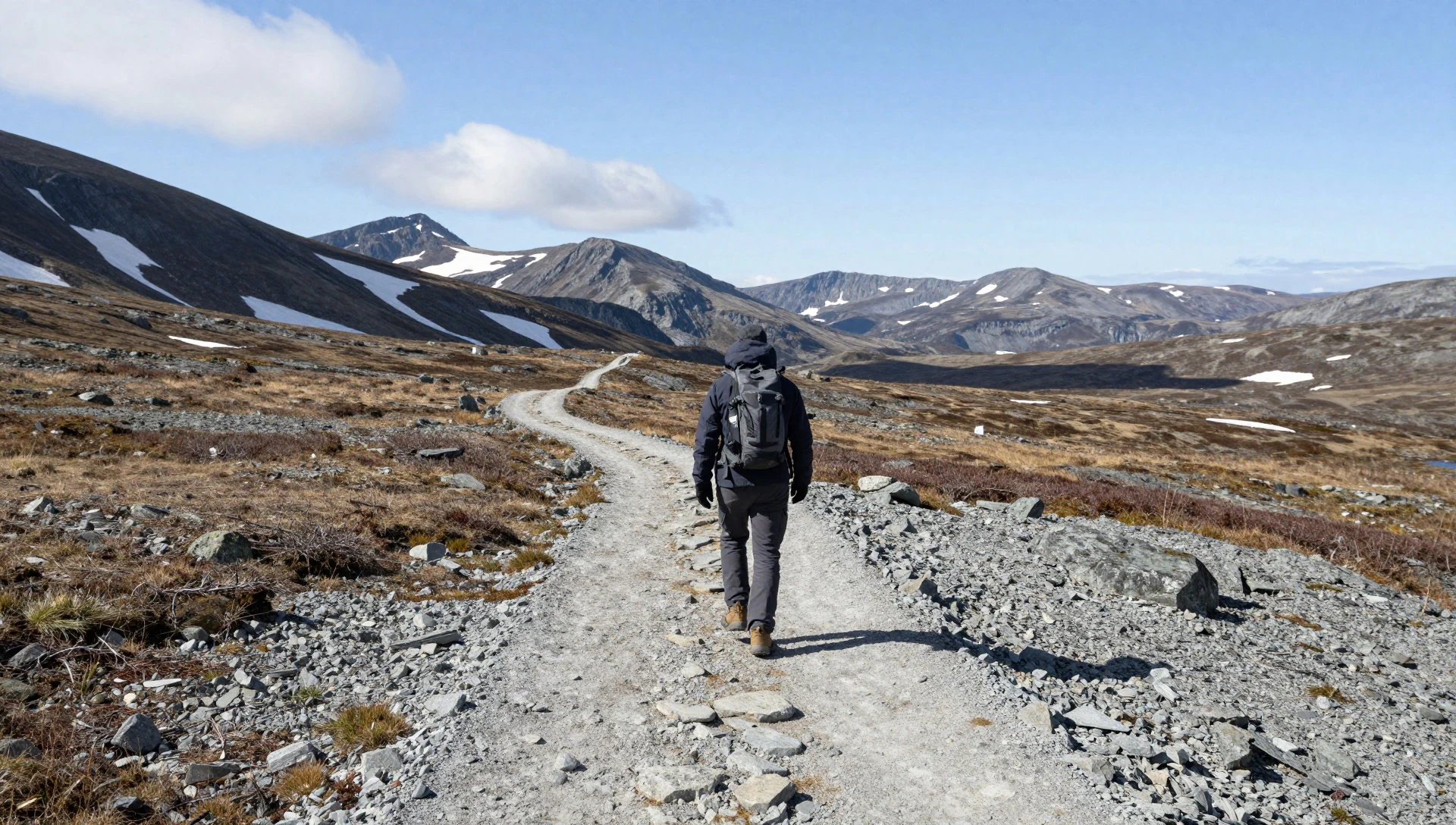
- Sami sites around the park — Park and border areas
Old Sami settlements and hunting stations are scattered both inside Børgefjell and in the border country around it. They are quiet and unmarked by tourist signage, so they reward patient, respectful looking rather than a checklist. Ask locally about what is known, and leave anything you find exactly as it lies.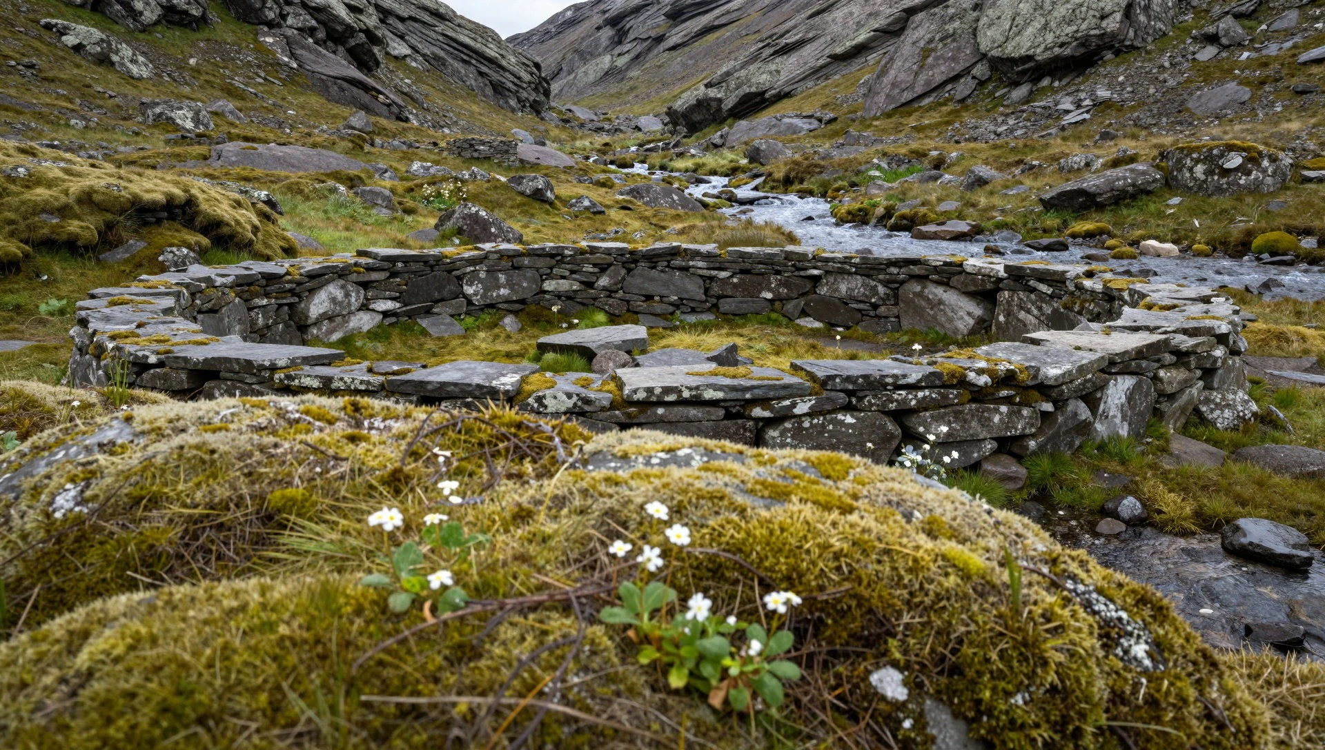
- Ørnes trading post — Ørnes, Nordland coast
On the Nordland coast, a museum tells the story of an old trading centre. It makes a sensible stop when mountain weather turns, or on the way to or from the park, and gives a sense of how coastal communities once exchanged goods with the interior.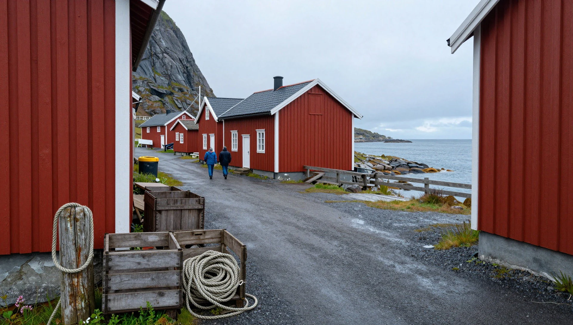
- Torghatten — Near Brønnøysund, Helgeland coast
Torghatten is a hill on an island near Brønnøysund, on the Helgeland coast, with a hole running right through the summit. Waves and ice carved it. A cave-like passage you can see daylight through is an unusual sight, and the visit combines easily with a coastal trip.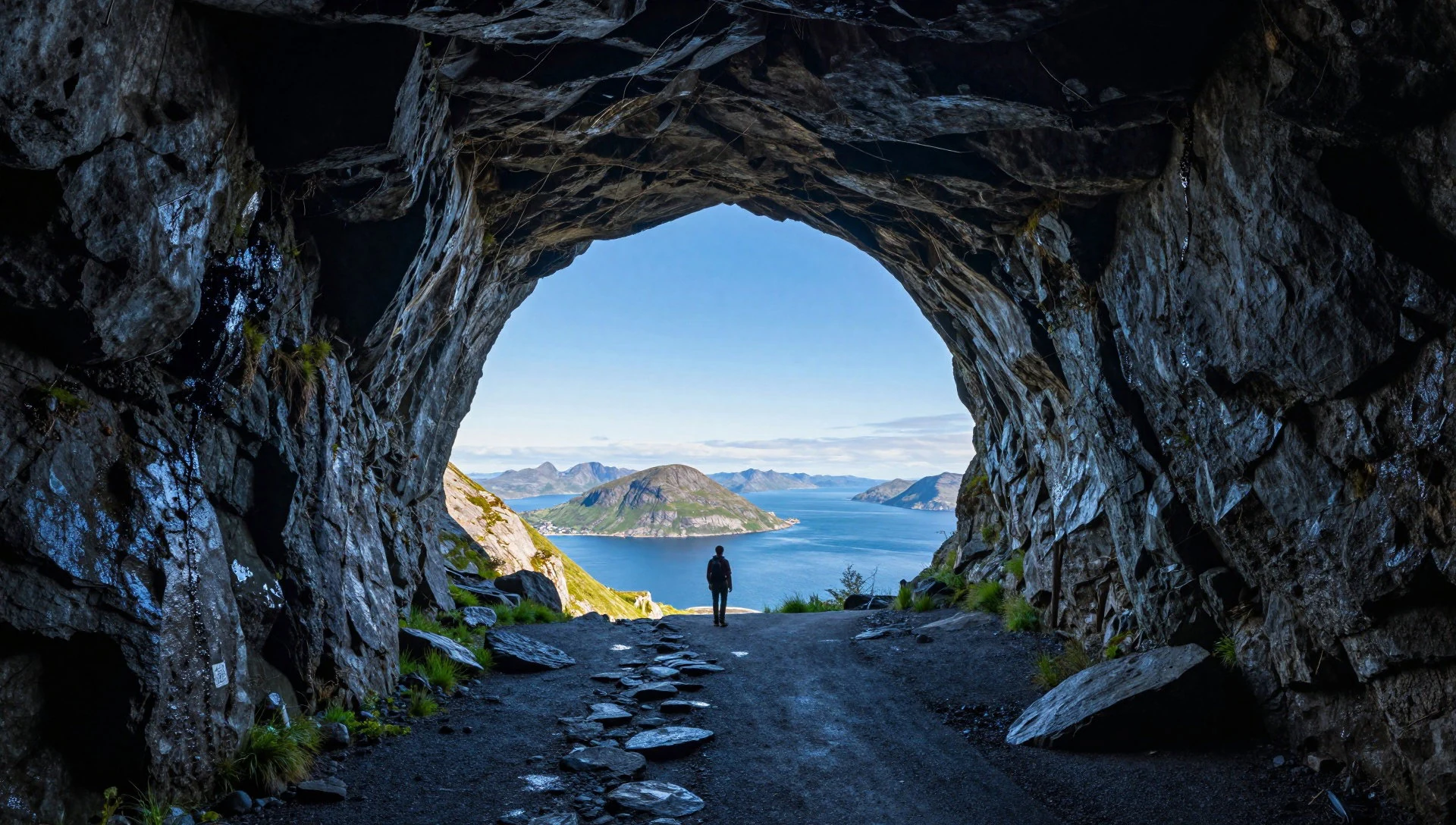
- Saltstraumen — Near Bodø, Nordland
Near Bodø, Saltstraumen is a tidal channel where seawater forces through a narrow gap and forms whirlpools. It is also a well-known fishing spot, with competitions held there and gear available to rent. It is a long drive from Børgefjell, so treat it as a separate coastal outing.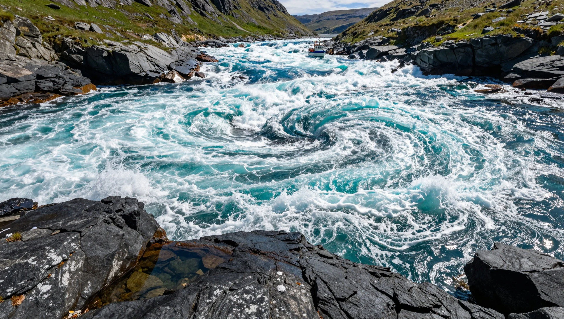
Culture
Børgefjell National Park sits on land with deep Sami roots. The Southern Sami name for the park, Byrkije vaarjelimmiedajve, is a reminder that this was reindeer country long before Norwegian farms appeared. Herding has been practised here for centuries, and it continues in and around the mountains. Reindeer are working animals, owned and managed by herding families, even when they seem to be wandering freely.
Norwegian settlers arrived from the late 1700s and early 1800s, and their farms and valley communities now surround the park. Those communities have their own habits of mountain life: walking, fishing, hunting and cabin trips, along with a strong sense that one should be self-sufficient outdoors and leave little trace.
That shared outlook shapes how the park works. There are few facilities by design, and visitors are expected to bring their own judgement. Locals tend to be friendly but unfussy; a brief greeting on the trail or in a valley shop is normal, and long conversations are not required. Sami cultural monuments, including settlement sites and hunting stations, are part of the heritage that the park protects, and they are not attractions in the usual sense. They are evidence of a living culture.
At Børgefjell, keep well clear of reindeer, never touch or move anything at a Sami settlement or hunting site, and carry out every scrap of your rubbish.
What to wear
Dress in the Børgefjell area has two layers: Sami tradition and everyday mountain practice. The traditional Sami garment is the gákti, a tunic made mainly of wool, with colours, bands and trim that vary by region and family. It is often worn with a belt, and with shoes and leggings in reindeer skin. These pieces are worn today at weddings, confirmations, national celebrations and by many herders at work or on formal occasions. Silver jewellery and woven bands add detail, and the pattern of a gákti can tell other Sami where its wearer comes from.
What people actually wear day to day is much more practical. In the valley towns, expect outdoor jackets, wool jumpers, sturdy boots and hard-wearing trousers, since much of life here involves weather. Residents who hike, hunt or fish dress in layers and favour wool and waterproofs over fashion.
Visitors should do the same. Wear sturdy, waterproof walking boots with good ankle support, since the ground is rough, wet in places and often has no path. Pack wool or synthetic base layers, a warm mid-layer, a windproof and waterproof shell, a hat and gloves even in summer, because mountain weather can change fast. A head net or insect repellent is sensible in the warmer months. There are no dress codes beyond ordinary modesty in villages, and no religious sites to prepare for inside the park itself.
What to eat
- Finnbiff — Restaurants and eateries in valley towns such as Mosjøen or Mo i Rana
Thinly sliced reindeer meat, usually fried and served in a creamy sauce with potatoes and lingonberry. It is a northern Norwegian staple and reflects the region's herding tradition. It is mostly found on menus at valley-town restaurants and at roadside eateries.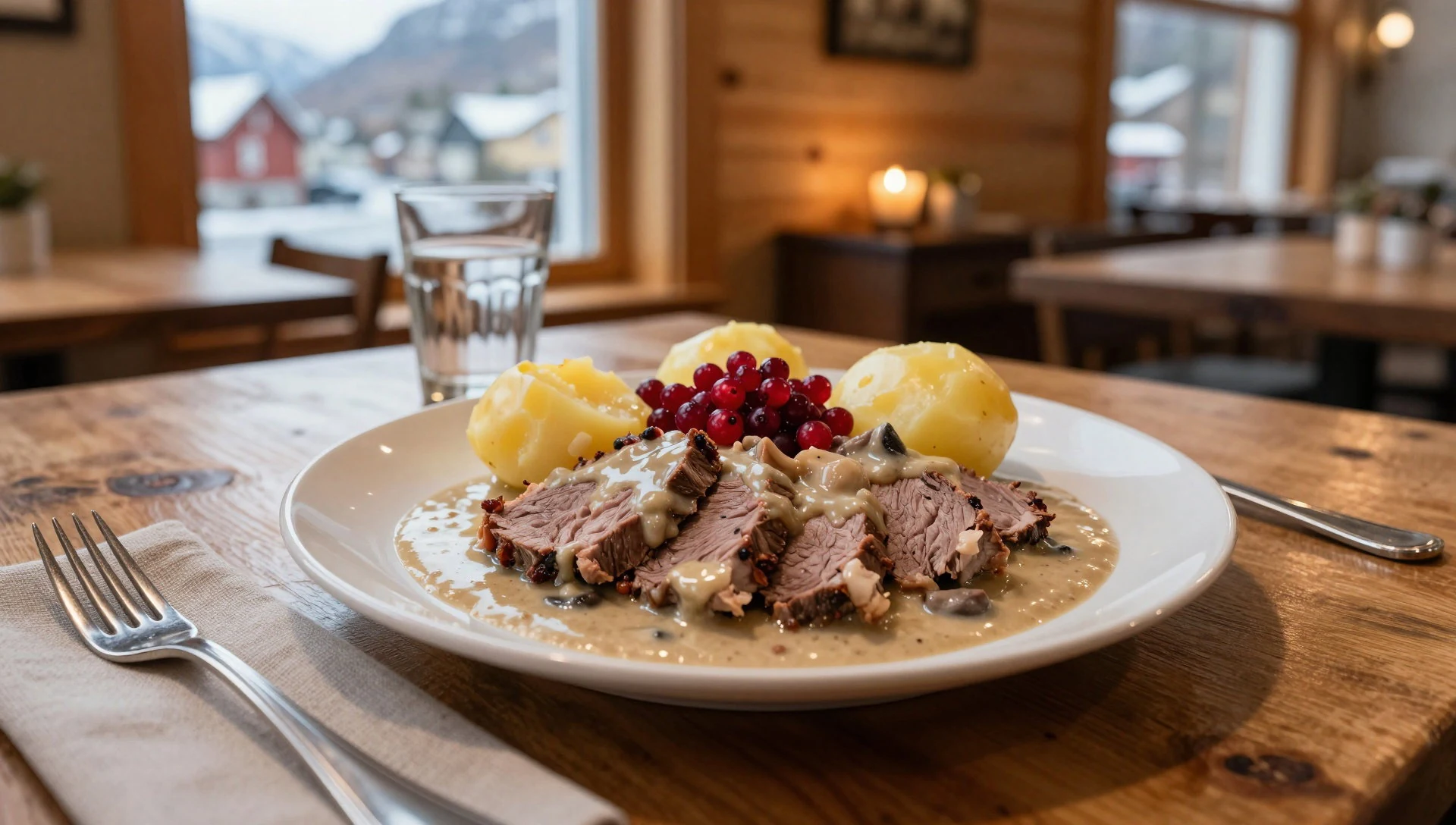
- Tørrfisk (stockfish) — Coastal eateries and fish shops on the Nordland coast
Cod that has been air-dried on racks until hard, then soaked and cooked. It is a long-standing food along the Nordland coast, where cold, dry air suited the method. Look for it in coastal eateries or in simple stews.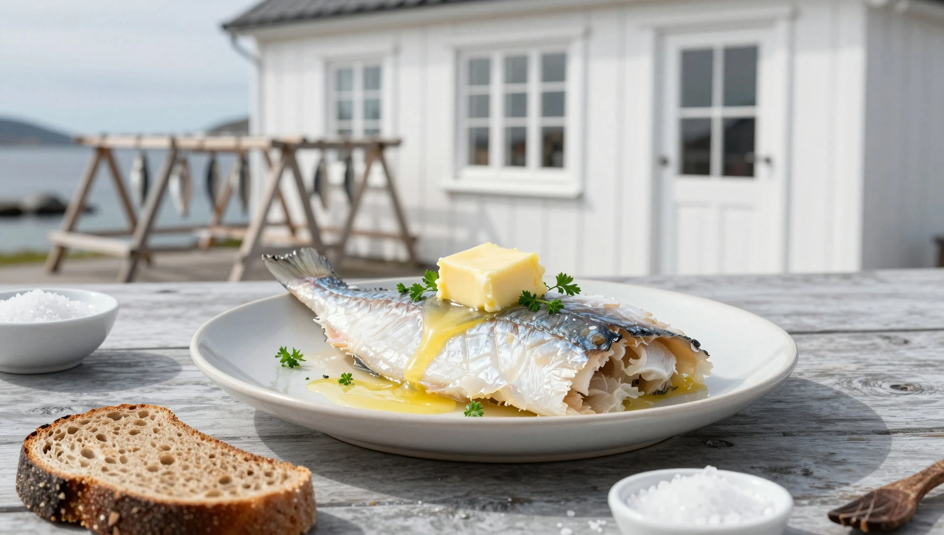
- Cloudberries (multer) — Roadside stalls and local shops in late summer
An amber northern berry with a tart, slightly honeyed taste, picked on boggy ground in late summer. It is eaten with cream, waffles or as jam. Roadside stalls and local shops sometimes sell it in season, and it is a treat worth seeking out. - Freshwater trout and char — Village shops, cafés and mountain cabins in the valleys
Mountain lakes and rivers hold fish that locals catch and cook simply, often fried or smoked. Fishing requires the correct permits, so ask locally first. Smoked or fresh fish sometimes appears in village shops and cafés. - Waffles with brown cheese — Cafés and petrol-station kitchens in the valley towns
Heart-shaped waffles served warm with sour cream, jam and slices of brunost, the sweet brown whey cheese. It is a standard coffee-stop snack at Norwegian cafés and mountain cabins, and a welcome reward after a long walk.
Plan it
Best time. July to September, when the high ground is most likely to be free of snow and the days are long. Mountain weather is changeable even in summer, and the warmer months bring insects.
How long. 3–5
Getting there. Fly to Trondheim, or to a regional airport such as Røssvoll (Mo i Rana) or Mosjøen, then drive to a gateway municipality such as Hattfjelldal, Grane, Namsskogan or Røyrvik. The last leg is on foot, as the park has few trails and no facilities. Check the official site for current entry points and advice.
Budget. mid
Tips
- Carry a paper map and compass, and know how to use them, as marked routes are few and phone signal is unreliable
- Tell someone your route and expected return before setting off, since help can be far away
- Bring all food, fuel and shelter you need; the park has no services
- Pack for sudden weather changes, with waterproofs and warm layers even in summer
- Check the official park website (https://www.norgesnasjonalparker.no/nasjonalparker/borgefjell/) for current rules and conditions before you go
Etiquette
- Keep your distance from reindeer and never chase or disturb them
- Leave Sami settlement sites and hunting stations untouched
- Take all rubbish with you and camp without leaving a trace
Nearby
Sources
- Wikidata Q1020241 (CC0)
- Wikipedia: Børgefjell National Park (rev 1339768284) (CC BY-SA 4.0)
- Wikivoyage: Nordland (rev 5412730) (CC BY-SA 4.0)
- Václav Marek, Børgefjell in 1979 (photo) (CC BY 3.0)
