Bay of Kotor
Bay of Kotor, Montenegro
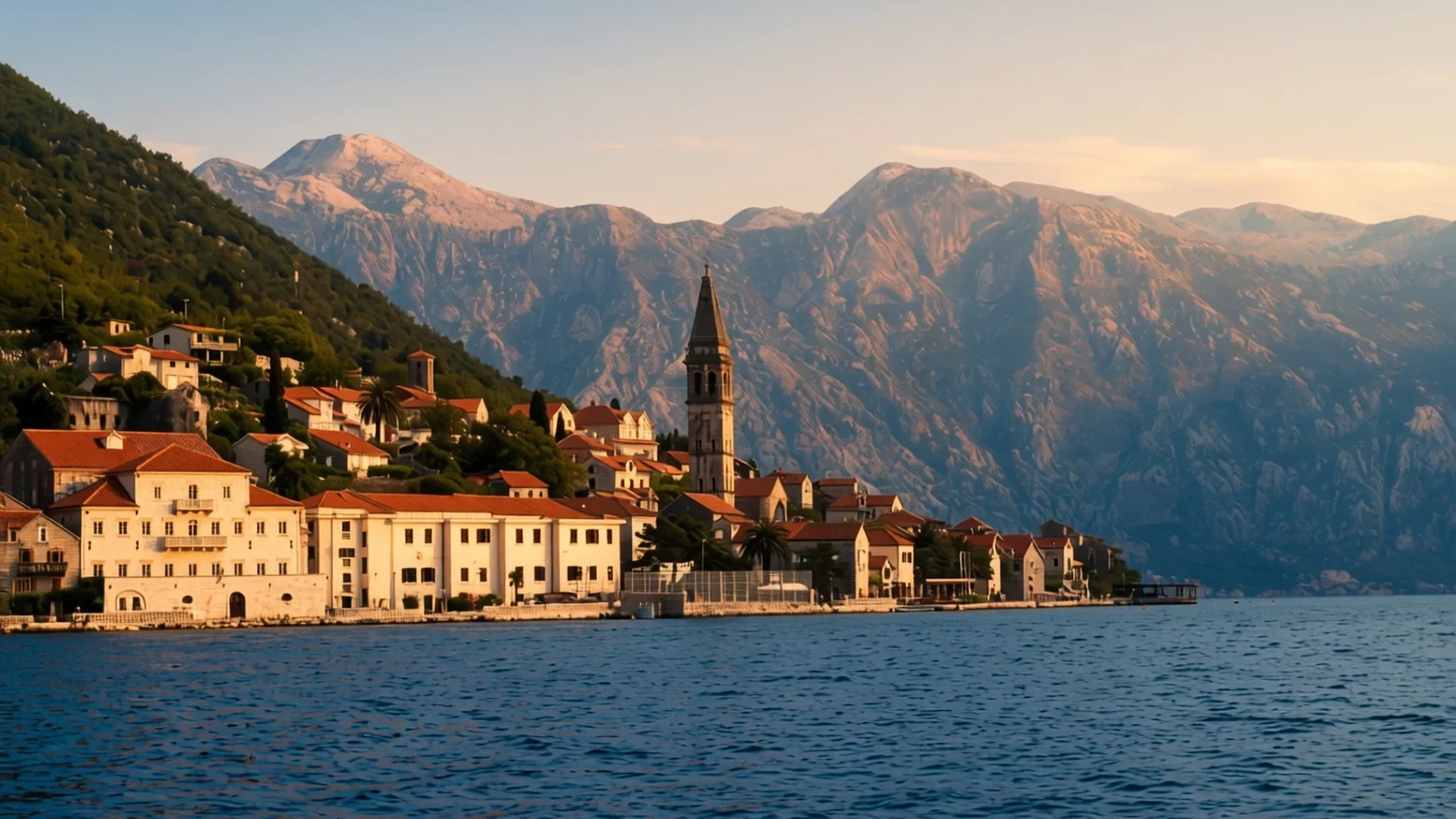
A winding Adriatic bay of medieval stone towns, mountain walls and a long seafaring past, best seen slowly by boat or road.
The place
The Bay of Kotor lies in the southwest of Montenegro, a long arm of the Adriatic that doubles back through a chain of smaller bays joined by narrow channels. Its southern edge marks the end of historical Dalmatia, and a small peninsula at the entrance belongs to Croatia. Most visitors come for the towns along its shores: Kotor, tucked beneath walls that climb the mountainside; Perast, strung along the water; and Herceg Novi at the western gate.
The bay runs about 28 km from end to end, but its shoreline stretches to roughly 107 km once every inlet is counted, so it rewards a slow pace by road or boat. Mountains press in on both flanks, the Orjen range to the west and the Lovćen range to the east. The narrowest stretch, the Verige Strait, is a tight passage only 340 metres wide at its tightest point, and sailing through it feels like threading a needle. The shape of the bay is that of a drowned river valley, which explains its odd twists and turns.
The region holds a dense scatter of churches and monasteries, both Orthodox and Catholic, which is why pilgrims come alongside sightseers. The old town of Kotor and its surrounding walls are the easiest place to base yourself, and the Natural and Culturo-Historical Region of Kotor has been a UNESCO World Heritage Site since 1979. In summer the old streets fill by midday, when day-trip coaches and cruise passengers reach the port of Kotor. Go early, and leave time for the water.
Its story
The Bay of Kotor's story begins with the South Slavs, who settled across the Balkans from the 6th century. By the mid-9th century the Serbs were said to hold much of Dalmatia, and under the Vlastimirović dynasty (610–960) two principalities, Doclea and Travunia, lay side by side around the bay. Risan fell within Travunia, according to the Byzantine emperor Constantine VII's account of the region from about 960, while the older Byzantine coastal cities slowly absorbed Slav settlers who mixed with the Roman population already living there.
Religion split the coast after the Great Schism of 1054, when the region answered to both the eastern and western Churches. Political loyalties shifted as well. In 1171 Stefan Nemanja sided with Venice against Byzantium, moved towards Kotor, and the bay passed under the Nemanjić dynasty. In 1195 Nemanja and his son Vukan built the Church of Saint Luka in Kotor, a sign that Serbian rule had taken hold and was willing to invest in stone.
Later centuries brought Venetian and then Austro-Hungarian rule, and the seafaring life of those years still shapes the towns. Much of the medieval fabric survives in Kotor, Perast and Herceg Novi, which is why a walk through their lanes feels layered rather than staged. Read the walls and churches as a record of who held the bay at each stage, and the rest of the history follows.
What to see
- Old Town of Kotor and its walls — Kotor
Kotor's old town is a compact knot of stone lanes under a steep wall, and the walls climb towards the castle of Saint John high above. Walking the walls gives you the bay from above and a sense of how the town was defended. Wear shoes with real grip, because the stones are worn smooth. Go early or late in summer, when the lanes thin out and the light softens on the water.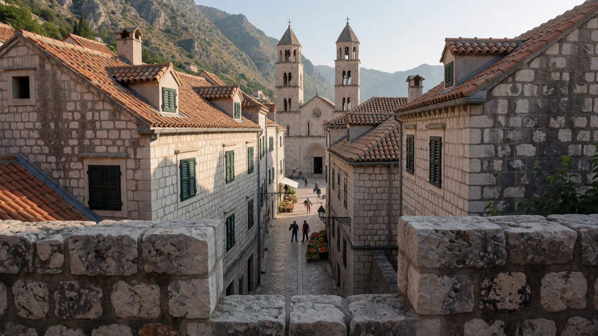
- Church of Our Lady of the Rocks — The bay, reached by boat from Perast
A church on a small islet in the bay, reached by boat from Perast, and one of the places that draws pilgrims as well as visitors. Agree a return time with your boatman before you set off, and check the official site for opening times. Open water can feel cooler than the shore, so bring a light layer for the trip back. Keep your voice low once you step inside.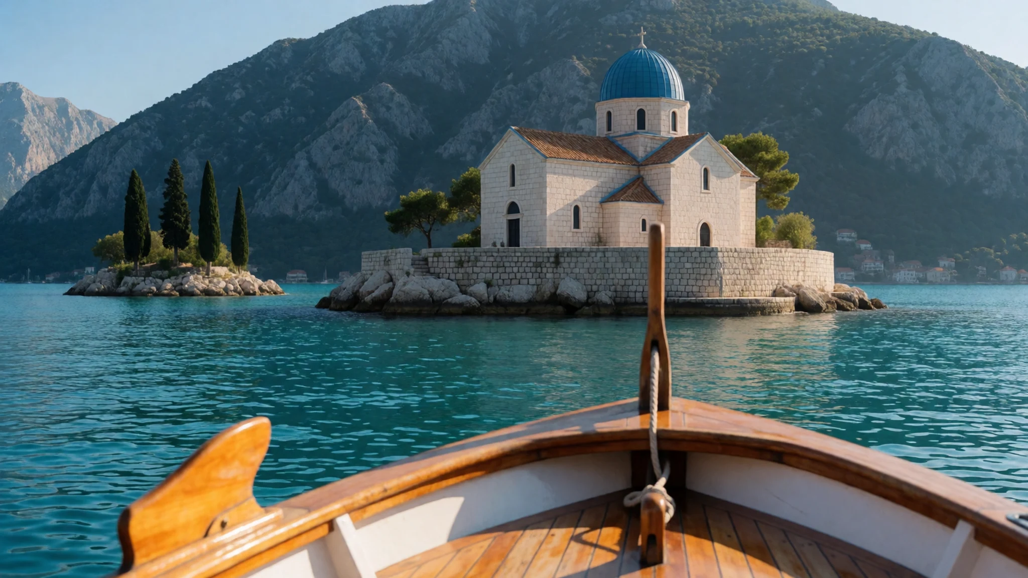
- Perast — Perast, on the bay's eastern shore
Perast is a village of old stone houses strung along the waterfront, and Catholicism has long been the dominant faith here, which the churches show. The view of the bay from the belfry of Saint Nicholas' church is one of the best ways to understand the shape of the water. Spend an afternoon walking the quay, then take a boat out to see the village from the sea.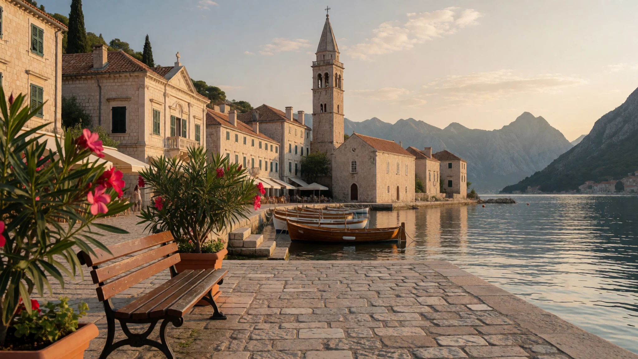
- Risan and the Sopot cave waterfall — Risan, on the northern shore
Risan is the oldest settlement in the bay and was once the historical capital of an Illyrian kingdom, so it suits anyone curious about the deep past. Near the town, the Sopot waterfall is a short detour that shows how water has shaped the land here, but it flows only after heavy rain, as the spring is usually inactive. Combine the two in a single half-day trip, and bring water and sensible shoes for the paths.
- Blue Cave boat tours — Guided boat tours from the bay
Guided boat trips run to the Blue Cave, and they are a common way to spend a sunny day on the water. Book ahead in peak summer, go early before the boats gather, and check current times with the operator. Ask what the swim or stop involves before you pack. Expect the cave to be busy at the height of the season, and bring water and sun protection.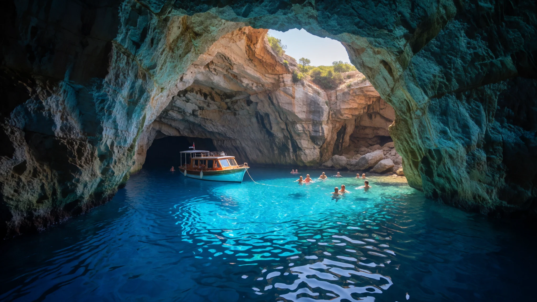
- Danica esplanade, Herceg Novi — Herceg Novi, along the waterfront
Herceg Novi's esplanade is a 6 km promenade along the waterfront, giving a long walk through the town's history. Walk it in the morning or the evening, when the heat drops and the bay is calm. Pause at a café along the way, and treat the walk as a loose route rather than a checklist of sights.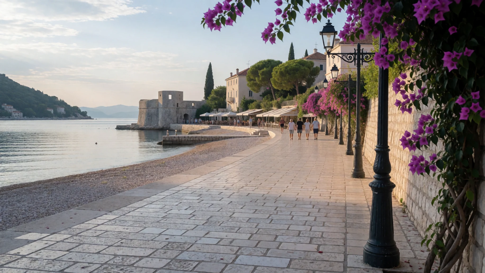
Culture
Around the Bay of Kotor, most people are Orthodox Christians, who identify on census forms as Montenegrins or Serbs, while a Croatian minority lives here too. The faith history is layered. In 1806 roughly two-thirds of the bay's people, known in Italian as Bocchesi, were Orthodox and the rest Catholic, and Catholicism stayed dominant in Perast. Those divisions still shape the churches on either side of the water. Savina monastery near Herceg Novi, founded in the 16th century, keeps 17th-century silverwork in its gardens.
The bay also has a deep seafaring tradition. Its fleet was the backbone of the local economy from the Middle Ages, peaking at 300 ships in the 18th century, when Boka rivalled Dubrovnik and Venice. Kotor once housed a notable naval academy, the Scuola Nautica, and during the Austro-Hungarian period the bay produced most of the sea captains of the Österreichischer Lloyd shipping company.
The region's cultural heritage is protected, and its churches and monasteries draw pilgrims as well as visitors. When you enter a church or monastery, cover your shoulders and knees, keep your voice low, and ask before photographing anyone who is praying.
What to wear
Around the Bay of Kotor, historic dress survives mostly in festivals, folk displays and church occasions rather than in daily life, and details varied from village to village. Local museums and festival organisers are the best source for specific garments, fabrics and when they were worn, so ask them rather than relying on general descriptions. Everyday dress in the towns is much like any southern European seaside town: light cotton and linen in summer, jeans and trainers during the day, and smarter clothes for weddings and services.
For a visit, pack a light layer for churches and monasteries, where shoulders and knees should be covered. The old towns of Kotor and Perast have steep, uneven stone streets and worn steps, so choose shoes with good grip over flat soles. In summer the sun is strong on the water, so a hat and sunglasses matter more than style. A light windproof layer helps on boat trips, when the breeze can feel sharp even on a hot day.
What to eat
- Mediterranean-style grilled dishes — Old mill restaurants at Morinj and Ljuta, a short drive from Kotor
Near Kotor, the old mill restaurants at Morinj and Ljuta serve Mediterranean cooking, and simply grilled fish and meats suit the coast well. These are good places for a long lunch away from the crowds of the old towns. Ask what has come in that day, and allow time for the drive back.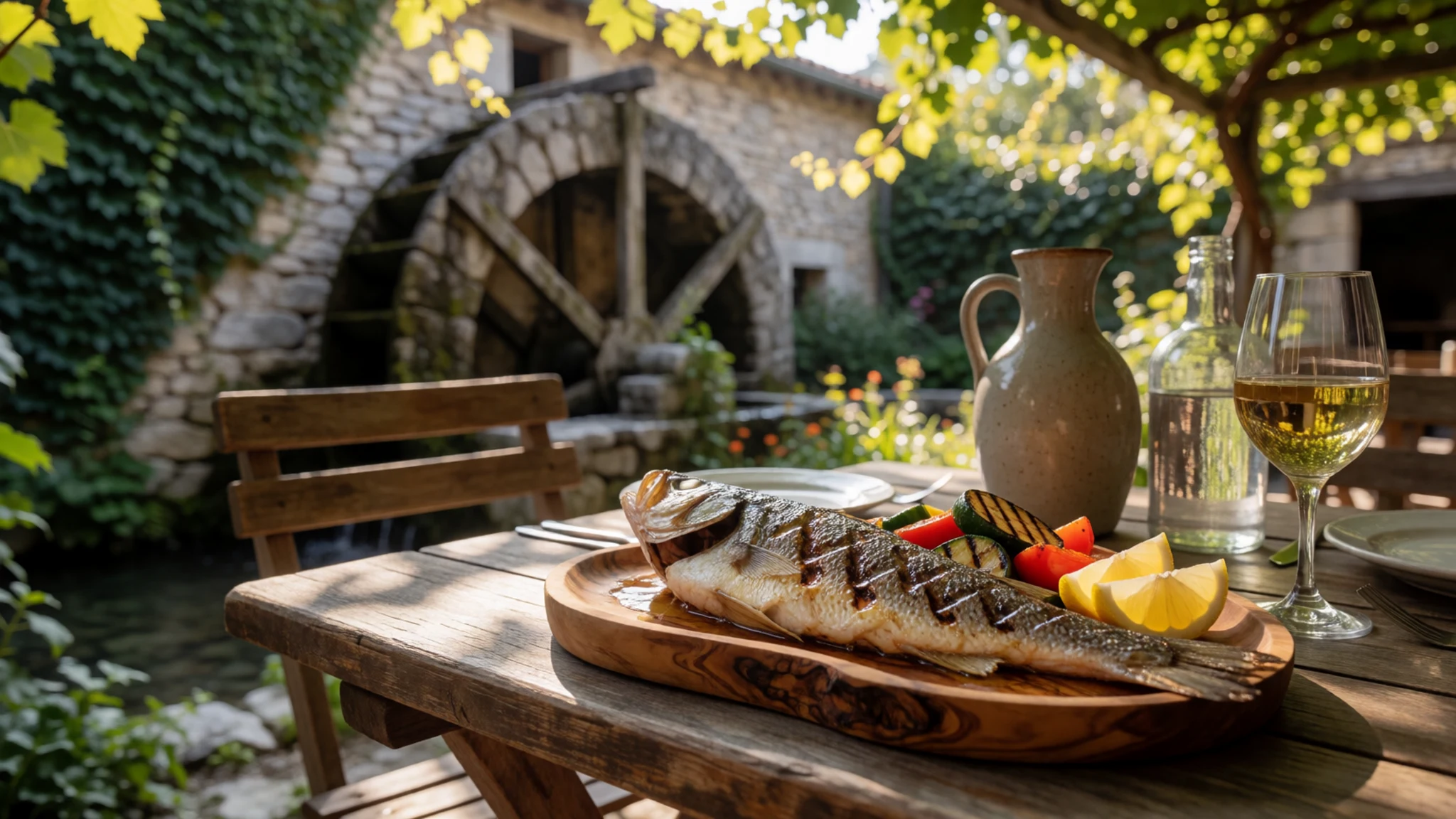
- Pasta and pizza — The old towns of Kotor and Herceg Novi
Italian restaurants are common in Kotor and Herceg Novi, reflecting the long Venetian influence on the bay. Pasta and pizza are easy, filling choices for a lunch between walks. Sharing a table is simple, so order a few plates and try the local wines alongside.
- Dalmatian dishes — Restaurants in the old towns
Dalmatian cooking, drawn from the wider Adriatic coast, appears on menus in the old towns alongside Italian food. Ask for a seafood or meat plate, and compare two or three places, since menus and quality vary widely. Lunch is often the better value than dinner, so plan a midday stop. - Georgian dishes — A Georgian restaurant in Herceg Novi
Herceg Novi has a Georgian restaurant, a useful break from the coastal menus elsewhere on the bay. Go with others so you can share several dishes, and ask staff to explain anything unfamiliar. It makes a good evening after a day on the water. - Coffee on an old-town square — The squares of Kotor and Herceg Novi's old town
Cafés cluster on the squares of the old towns in Kotor and Herceg Novi, and sitting out with an espresso is one of the simplest pleasures here. Prices vary a lot between the squares and the bayside, so check the menu before you order. Bottled water is easy to find, and the squares are pleasant after dark.
Plan it
Best time. Spring and early autumn suit walking the old towns and taking boat trips best, with fewer crowds than high summer. High summer is busy, with cruise passengers in Kotor, and the sun on the water is strong. July and August are the hottest months, with daily highs near 36°C, while November is the wettest; May and October are the most comfortable, with milder days and less rain.
How long. 2–3
Getting there. Tivat Airport serves many international and budget flights. From Tivat, frequent and inexpensive buses run around the bay, and they are the most common way to get between towns. Kotor and Zelenika both have passenger sea ports if you arrive by ferry or cruise.
Budget. mid
Tips
- Base yourself in Kotor or Perast and use frequent buses for day trips
- Book boat and cave tours ahead in peak summer, and check current times with the operator
- Visit the old towns early or late in the day, before or after the cruise crowds
- Carry some cash for smaller cafés and kiosks, and check cards are accepted before you order
- Carry water and sun protection for walks and boat trips
Etiquette
- Cover shoulders and knees when you enter a church or monastery
- Keep an eye on your bag in busy resort towns, where pickpockets operate
- Keep your voice down in the old towns late at night, when residents are at home
Nearby
Sources
- Wikidata Q207468 (CC0)
- Wikipedia: Bay of Kotor (rev 1375107256) (CC BY-SA 4.0)
- Wikivoyage: Bay of Kotor (rev 5260900) (CC BY-SA 4.0)
- Aerial panorama of Perast, Chensiyuan (CC BY-SA 4.0)
- Aerial view of the Kotor bay, kallerna (CC BY-SA 4.0)
- Perast and Bay of Kotor from Saint Nicholas' Church, Gertjan R. (CC BY 3.0)
- The rainiest region of Europa, K. Kassner 1904 (CC BY-SA 4.0)
- Sopot cave waterfall, kallerna (CC BY-SA 4.0)
- Churches in the Bay of Kotor, Bratislav Tabaš (CC BY 3.0)
- The Scuola Nautica, Cattaro, F. Hamilton Jackson (Public domain)
- Kotor and Boka kotorska, panorama from city wall, Pudelek (CC BY 3.0)


