Andringitra National Park
Andringitra National Park, Madagascar
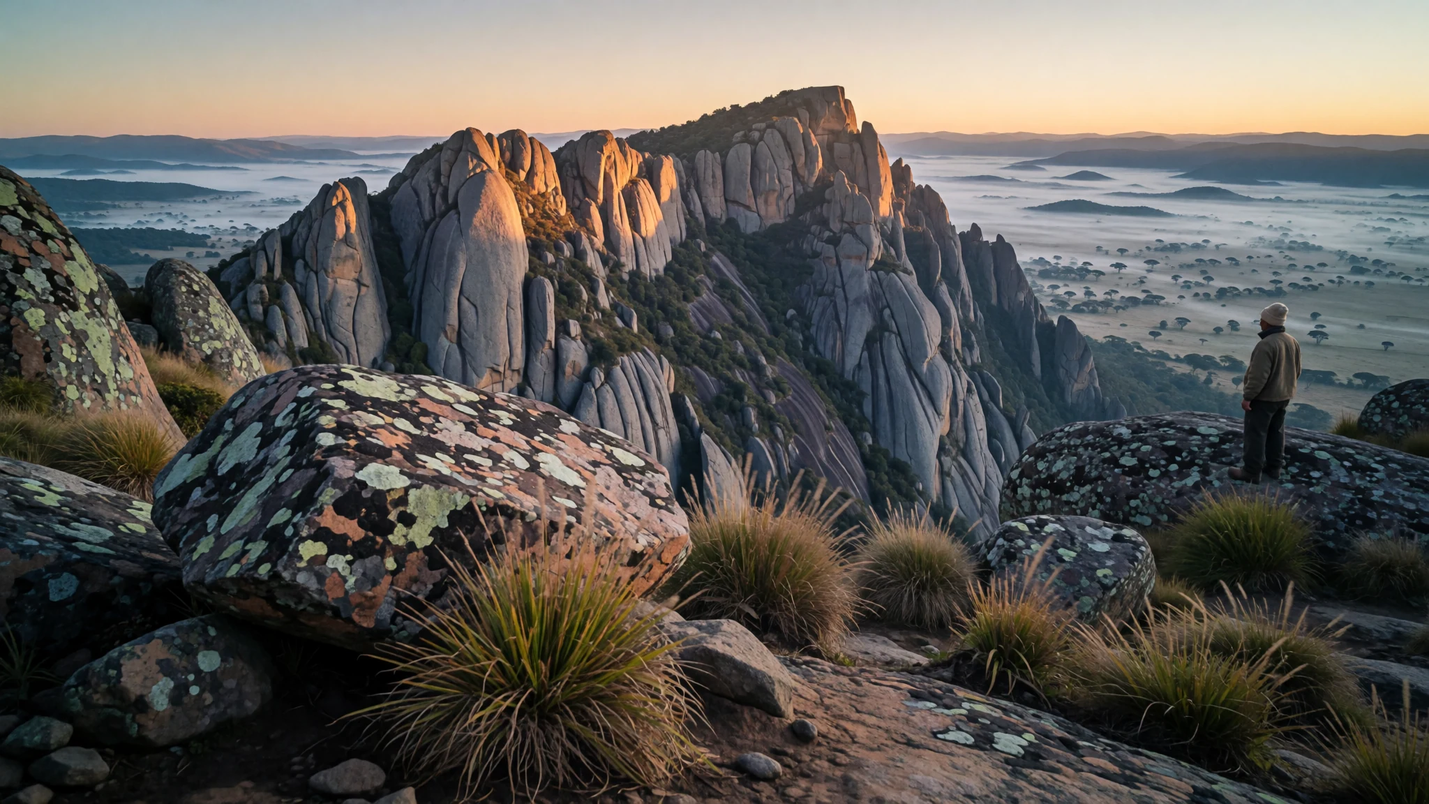
A granite massif south of the Malagasy highlands, where cattle herders, rice farmers and lemurs share some of the country's roughest ground.
The place
Andringitra National Park sits in the Haute Matsiatra region of Madagascar, roughly 47 kilometres south of the town of Ambalavao. Most of the park covers a granite massif that rises sharply above the surrounding plains, so a walk from the lowland savannah to the upper ridges is a steep one. Its highest point, Imarivolanitra, formerly called Pic Boby, reaches 2,658 metres and is the country's second highest mountain. Ground across the reserve runs from about 700 metres up to that summit, so a single trip can pass through several quite different climates.
The reserve covers 31,160 hectares and holds four rivers: the Ampanasana, Iantara, Menarahaka and Zomandao. They cut through deep valleys and run along the ridges. Rain is heavy here, with a mean annual figure of 1,500 to 2,500 millimetres, and snow falls in some years. Nights can be far colder than people expect on a tropical island. The lowest temperature recorded anywhere in Madagascar, minus 8 degrees Celsius, was measured inside the park.
Biology is a large part of the appeal. The park supports a wide range of plants, birds and frogs, and thirteen lemur species have been recorded. Much of its wildlife is closely tied to these high, broken habitats. Expect a trip built around walking, camping and watching, rather than sightseeing from a vehicle. Facilities are basic, and the weather can change within hours.
Its story
Andringitra National Park's story begins with outsiders noticing its mountains. Explorers in the early twentieth century recognised the range as unusual, and the massif was valued long before it had any formal protection. In 1927 the central part of the range was declared a Strict Nature Reserve, a status that placed it under tight controls without opening it to visitors.
Attitudes shifted in the early 1990s. The Malagasy Environmental Action Plan argued that Madagascar should set its own environmental agenda rather than leave the direction to foreign donors. That change of thinking shaped what came next. In 1999 the reserve became a national park, managed with the Madagascar National Parks Association.
The geology is older than any of these decisions. The core is granite, a hard rock that weather has carved into steep faces, deep valleys and narrow ridges above the lower plains. That rugged shape helps explain why the range stayed relatively intact. People living at its edges have long used the lower savannah and valleys, while the upper slopes remained hard to reach.
In 2007 the park became part of the Rainforests of the Atsinanana World Heritage listing. Andringitra is one of six national parks in that group, which is a useful way to see it: the mountains connect to a larger story of Madagascar's forests rather than standing apart from them.
What to see
- Imarivolanitra (Pic Boby) — Central massif
The summit of Andringitra National Park, at 2,658 metres, and the second highest mountain in Madagascar. The climb is demanding, with rough, rocky sections and exposure to wind on the upper slopes. Start early, carry warm layers even in daylight, and go with a guide who knows the route and the weather patterns. From the top, the view runs across the granite ridges and the valleys below.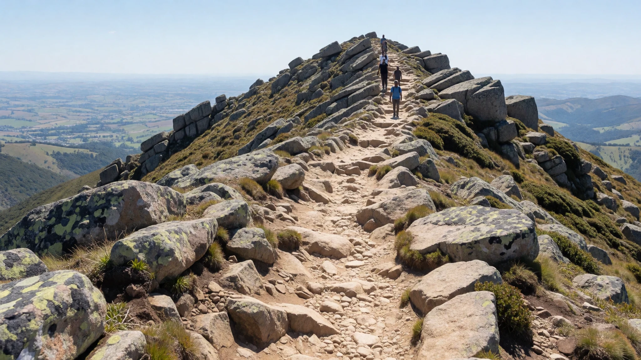
- Dawn over the massif — Upper ridges and valleys
Early light is the best time to see the ridges and valleys of the park, when mist sits in the lower folds and the granite catches the first sun. Mornings are usually cold, so bring a warm layer, a hat and a head torch for the early start. Many visitors judge the whole trip by these first hours on the trail.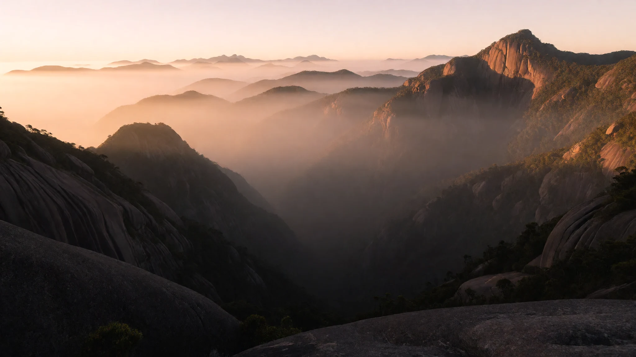
- The four rivers — Valleys across the reserve
The reserve is traversed by the Ampanasana, Iantara, Menarahaka and Zomandao rivers, which carve the valleys and feed the wider landscape. Crossings can be difficult after heavy rain, so plan routes around water levels and ask your guide before committing to a river. Water is central to the local farming systems that line the park's edges.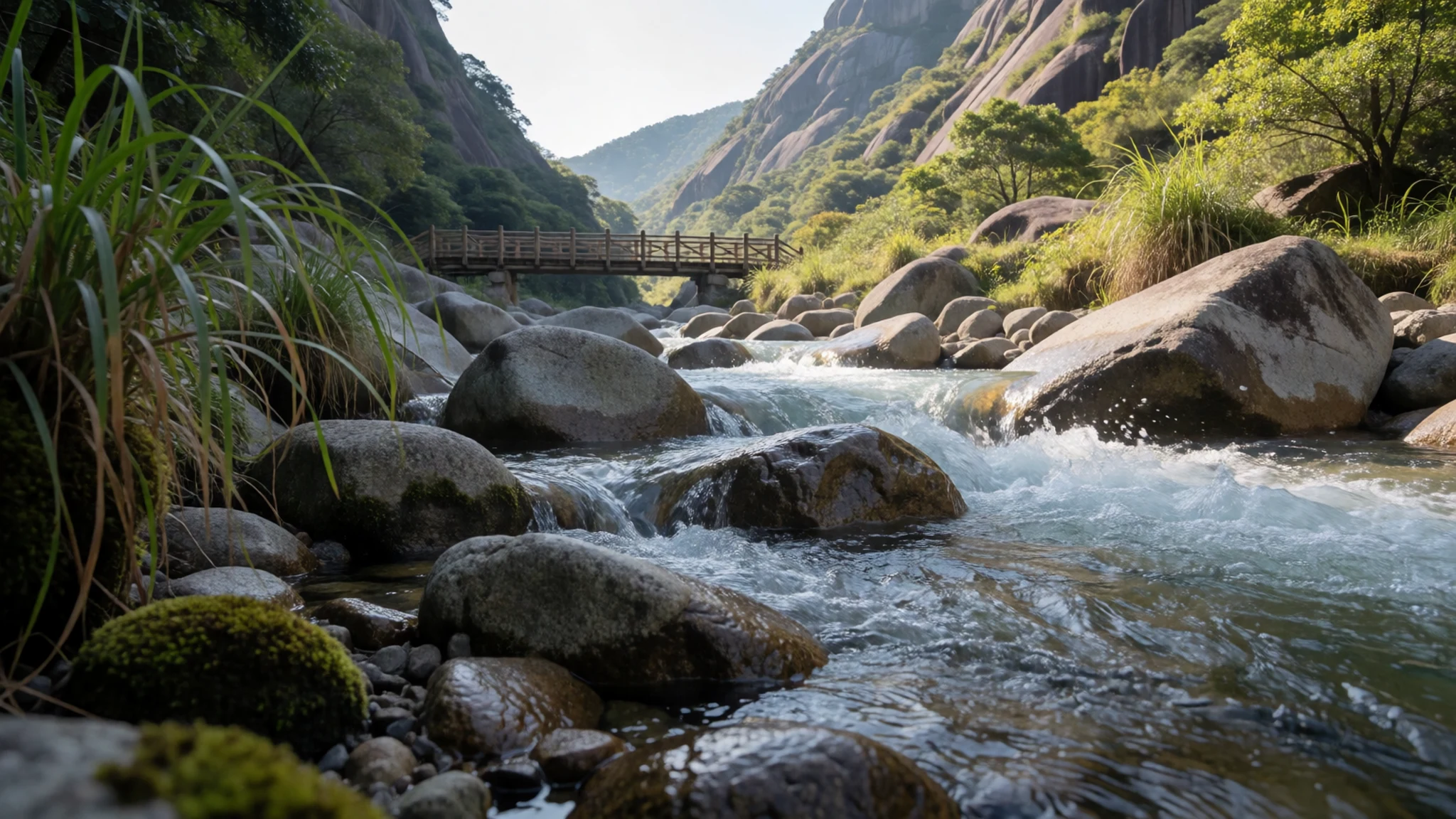
- Grazing lands in the south and west — Southern and western margins
To the south and west, cattle are grazed by the Bara people across the savannah, valleys and ridges. This open country gives a sense of how people and animals use the park's margins. Walk with a local guide, keep to paths, and expect herds to move across the trail. Cattle are central to Bara life, so treat them and their herders with care.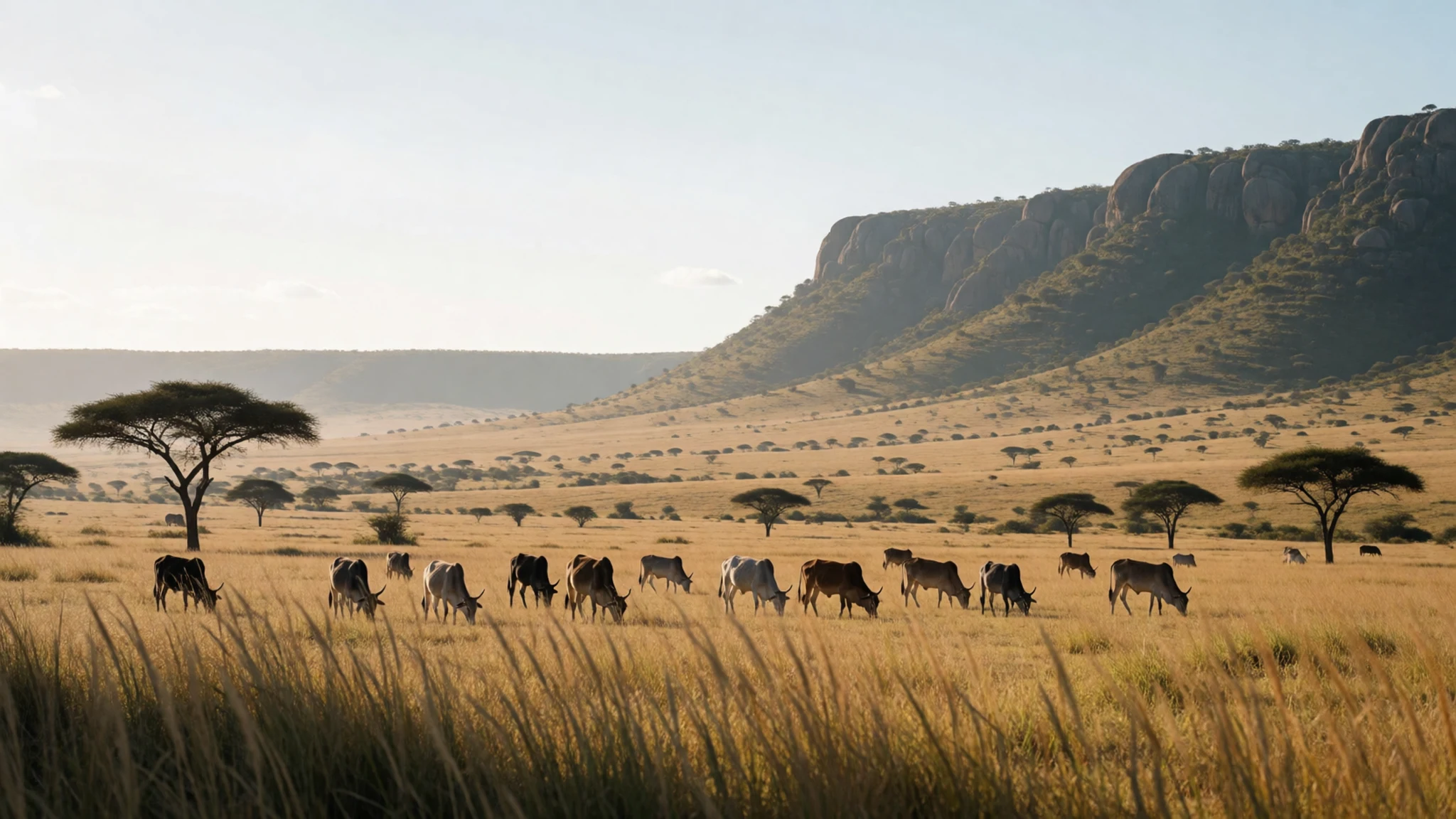
- Rice fields and irrigation — Eastern and northern foothills
In the east, the Bara Haronga grow rice, and the Betsileo have built irrigation on the northern mountain flanks. The terraces and channels show how people have shaped the slopes for generations. Visit with a guide who can explain the water system, and stay on the paths between the fields rather than walking across planted ground.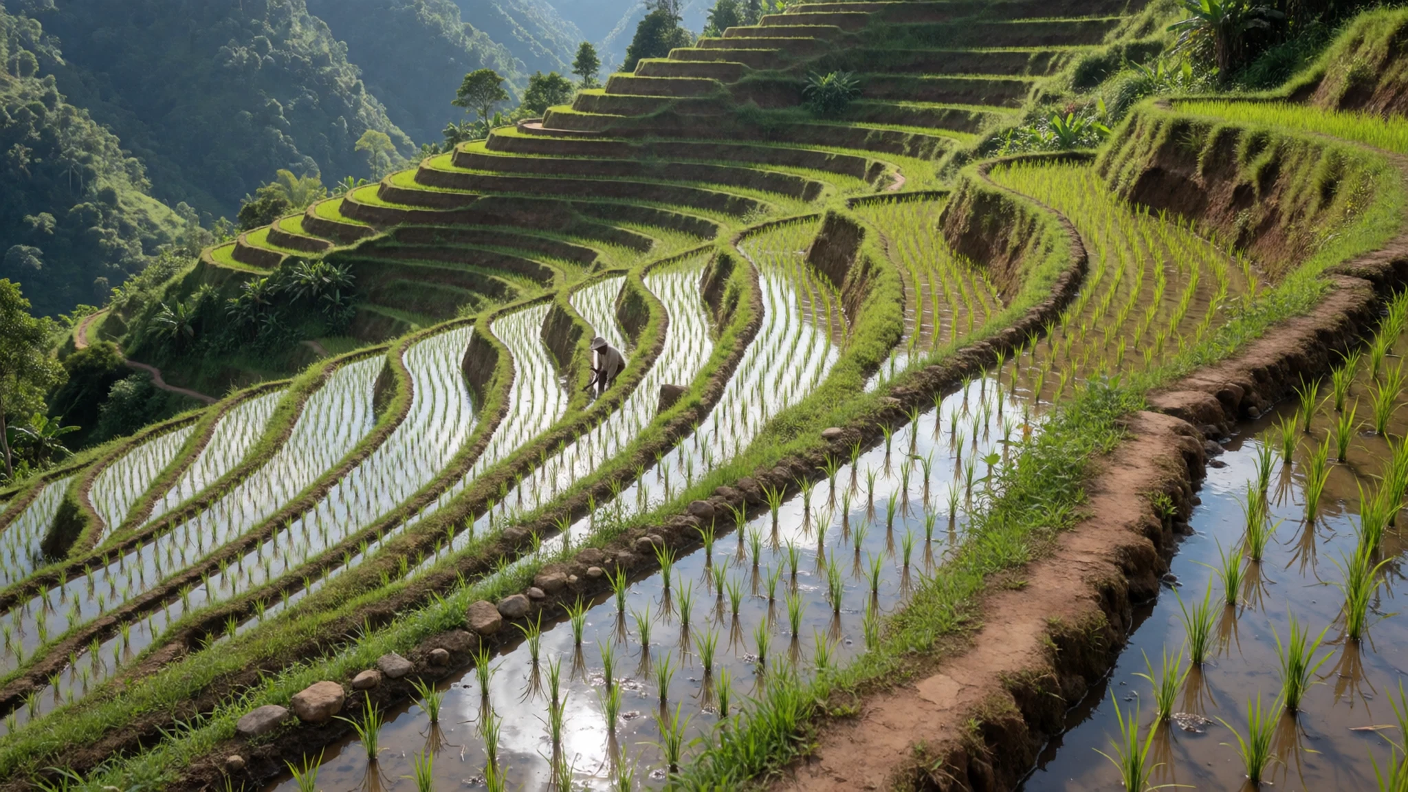
Culture
Andringitra National Park is shared by three groups of people: Bara herders in the south and west, Bara Haronga rice growers in the east, and Betsileo farmers who built irrigation on the northern flanks. Their livelihoods, from cattle to terraced rice, shape the land that visitors cross, so the way you move through it matters. Cattle are a measure of standing and wealth in many Bara households, which makes a herd more than scenery. Ask before photographing herders, families or people working in the fields, and accept a refusal gracefully. Greetings matter in rural Madagascar, so a polite word on meeting someone on the path goes a long way. Local guides usually arrange introductions, and it is wise to rely on them. Most villages have their own customs around visitors, so follow the guide's lead on whom to greet and where to sit. Avoid walking through planted fields or over irrigation channels, and carry out all your rubbish. Keep to the paths, and leave gardens and herds undisturbed.
What to wear
Traditional dress around Andringitra National Park centres on the lamba, a wrapped cloth worn by many Malagasy people. Lambas are woven from cotton and sometimes silk, with striped and checked patterns that vary by region and occasion. They are worn over the shoulder, around the body or as shawls for warmth, and they remain common in rural markets and at family events. The cloth is practical as well as symbolic, suited to both sun and cool evenings.
In towns, people wear Western-style clothing for work and school. Many rural women still wear lambas daily, often paired with simple blouses or skirts, while men may wear a mix of shirts, trousers and a lamba for warmth. Clothing in the highlands reflects the cold nights and the strong daytime sun.
For a visit, dress for changing conditions. Long sleeves and trousers protect against sun, insects and scrub. Bring a warm fleece and a waterproof jacket, because nights at altitude are cold and rain can arrive quickly. Sturdy walking boots with good grip suit rocky trails and wet river crossings. Modest, practical clothing helps you blend in when visiting villages, and a lightweight lamba or shawl makes a useful layer.
What to eat
- Romazava — Local eateries in Ambalavao
A classic Malagasy stew of beef and leafy greens, flavoured with ginger and sometimes a little chilli. It is usually served with a big plate of steamed rice. Simple, warming and filling, it suits a day after the trail. Ask for it at a local eatery in Ambalavao, where it is commonly served.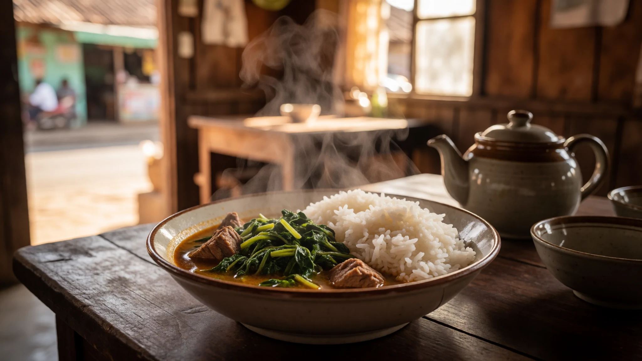
- Ravitoto — Rural eateries along the road to the park
Pounded cassava leaves cooked slowly with pork, garlic and onion until soft and rich. The dish is often eaten with rice, and it has a deep, earthy flavour. It is a good choice when you want something hearty after a long walk. Look for it in simple rural eateries along the main road to the park.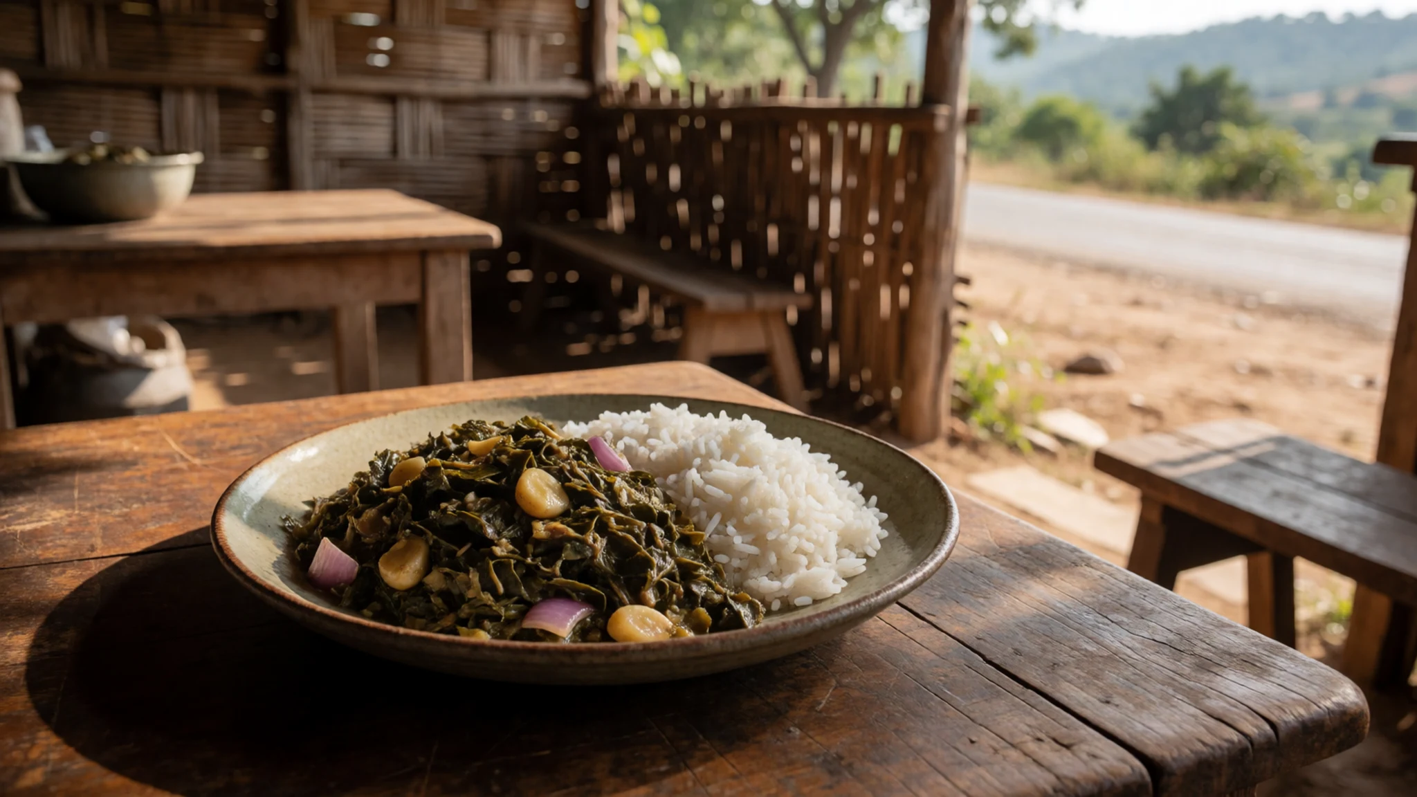
- Mofo gasy — Morning markets and street stalls in Ambalavao
Small rice cakes, fried or griddled, sold for breakfast or as a snack. They have a slightly sweet, spongy texture and are often eaten warm with coffee or tea. They are easy to find early in the day, and a good way to start a pre-dawn walk. - Zebu beef — Ambalavao's weekly market and local butchers
Zebu, the humped cattle kept across the region, are the source of much of the beef eaten here. Meat is often grilled, stewed or added to soups. Cattle are a prized asset, so expect beef to appear at special meals. Ask the guide where local meat is sourced and cooked. - Fresh rice with side dishes — Family-run eateries in the eastern and northern foothills
Rice is the centre of most meals in the Betsileo and Bara Haronga areas, served with vegetables, eggs or small portions of meat. Meals are simple and shared. Eat where guides or families take you, and you will taste the local rice grown on the irrigated terraces.
Plan it
Best time. The drier months from about May to October are the usual choice, when trails are firmer and skies more often clear. Nights are at their coldest then, so pack warm layers. The wetter months, roughly November to April, bring heavier rain that makes trails slippery and river crossings harder. Check current conditions before booking.
How long. 3–4
Getting there. Fly to Antananarivo's Ivato airport, then continue south by domestic flight or road towards Fianarantsoa. Reach Ambalavao, then cover the last 47 kilometres to the park by road. Transport options change, so confirm the final leg with a local operator.
Budget. mid
Tips
- Book a licensed local guide in advance, and check the official park site at the website listed in the facts for current rules
- Start walks early for cooler temperatures and clearer views of the ridges
- Carry cash in Ambalavao and small towns, as card payment is unreliable outside larger places
- Pack for cold nights and wind, even when days are warm
- Bring plenty of water and a way to purify it, as sources can be far apart on the trail
- Allow a spare day in case of rain, which can make rivers and tracks impassable
Etiquette
- Ask before photographing herders, families or people working in fields
- Keep to marked paths and off planted terraces and irrigation channels
- Carry out all rubbish and leave no litter on the mountain
Nearby
Sources
- Wikidata Q1116933 (CC0)
- Wikipedia (rev 1380112482) (CC BY-SA 4.0)
- Wikivoyage (rev 5217196) (CC BY-SA 4.0)
- Andringitra National Park, Madagascar by Effervescing Elephant-09 (Chris) (CC BY-SA 2.0)
- 8 natur2 (travelforfuture, Taschpeer) (CC BY-SA 4.0)
- Andringitra National Park WV Banner (Missvain; original author Chris) (CC BY-SA 2.0)
- Beautiful morning in the mountains, Andringitra (Chris) (CC BY-SA 2.0)
- Dawn in Andringitra National Park (Chris) (CC BY-SA 2.0)
- Andringitra National Park, Madagascar by Effervescing Elephant-03 (Chris) (CC BY-SA 2.0)
- Lake in Andringitra National Park (Chris) (CC BY-SA 2.0)
- Pic Boby, Andringitra National Park (Chris) (CC BY-SA 2.0)


