Aigüestortes i Estany de Sant Maurici National Park
Aigüestortes i Estany de Sant Maurici National Park, Spain
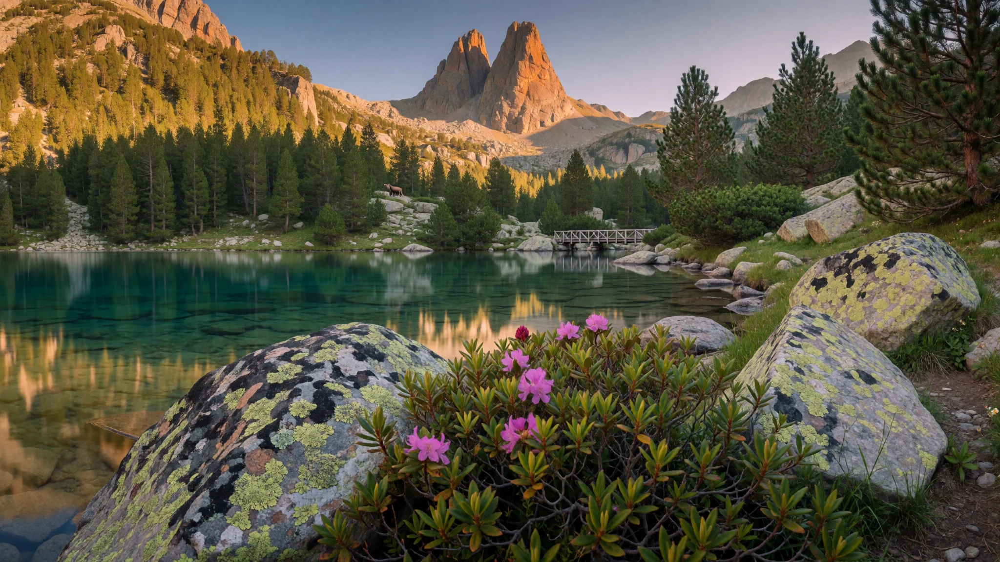
Come to Aigüestortes for glacial lakes, high-mountain streams and a hiking landscape where weather changes quickly.
The place
Aigüestortes i Estany de Sant Maurici National Park sits in the Catalan Pyrenees and is the only Spanish national park located in Catalonia. The terrain is steep, rugged and very “alive”: headwater rivers braid through valleys and then feed a landscape dotted with nearly 200 lakes, many shaped by glaciers. The park’s Catalan name—often translated as winding streams and St. Maurice lake—fits what people actually see once they start walking.
Altitude does the heavy lifting here. With an elevation range stretching from 1600 to 3000 metres, you move through different vegetation belts as you climb: lower montane woods, upper montane zones, then subalpine and alpine areas. In practice, that means the colours and the feel of the trail shift from forested slopes to more open, rocky terrain.
Wildlife is part of the atmosphere. You might spot chamois on steeper ground, and birds add constant movement in the canopy and sky; larger mammals exist too, including brown bear, though sightings depend heavily on season, time of day and sheer luck.
Administration-wise, the park’s seats are in Espot and Boí, and it’s mainly in Pallars Sobirà and Alta Ribagorça. Planning matters because the mountains can be demanding, with cold or stormy spells that arrive fast—even outside peak winter. For many visitors, the “wow” isn’t a single view but the way the whole route feels like a chain of small, distinct valleys, lakes and bridges rather than one single destination.
Its story
Aigüestortes i Estany de Sant Maurici National Park was created in 1955, later shaped by Catalan management that added stricter rules for protecting the high-mountain landscape. Long before the park existed, humans used the wider Pyrenees, but within the park borders there’s no record of stable habitation during glacial-melt periods. Later archaeology indicates temporary settlements dating back roughly 8,500 years in the Neolithic Age, suggesting people came when conditions and resources allowed.
By the nineteenth century, the high Pyrenees became more populated. The push came from demand for natural resources—forestry, farming and fishing—which left a different footprint on the landscape. Then, in the early twentieth century, hydroelectric projects helped transform parts of the region, changing how water and energy were harnessed.
When the national park arrived in the mid twentieth century, the focus shifted from extracting resources to conserving habitat. Since creation, forestry exploitation, fishing, camping and other exploitation of natural resources have been forbidden in the protected area. The rules aren’t entirely “no-human”: cattle breeding remains allowed, and the park also makes room for operative hydroelectric generation. That mix—strict protection of the wild core, combined with narrowly defined uses—helps explain why the park still feels rugged and natural, while surrounding valleys remain lived-in.
What to see
- Estany de Sant Maurici (Sant Maurici lake) — Sant Maurici area
Estany de Sant Maurici is the signature water in the park: a calm, high-mountain lake set against steep slopes. Walk in for shoreline views and look for the moment the light makes the water go from grey to green-blue.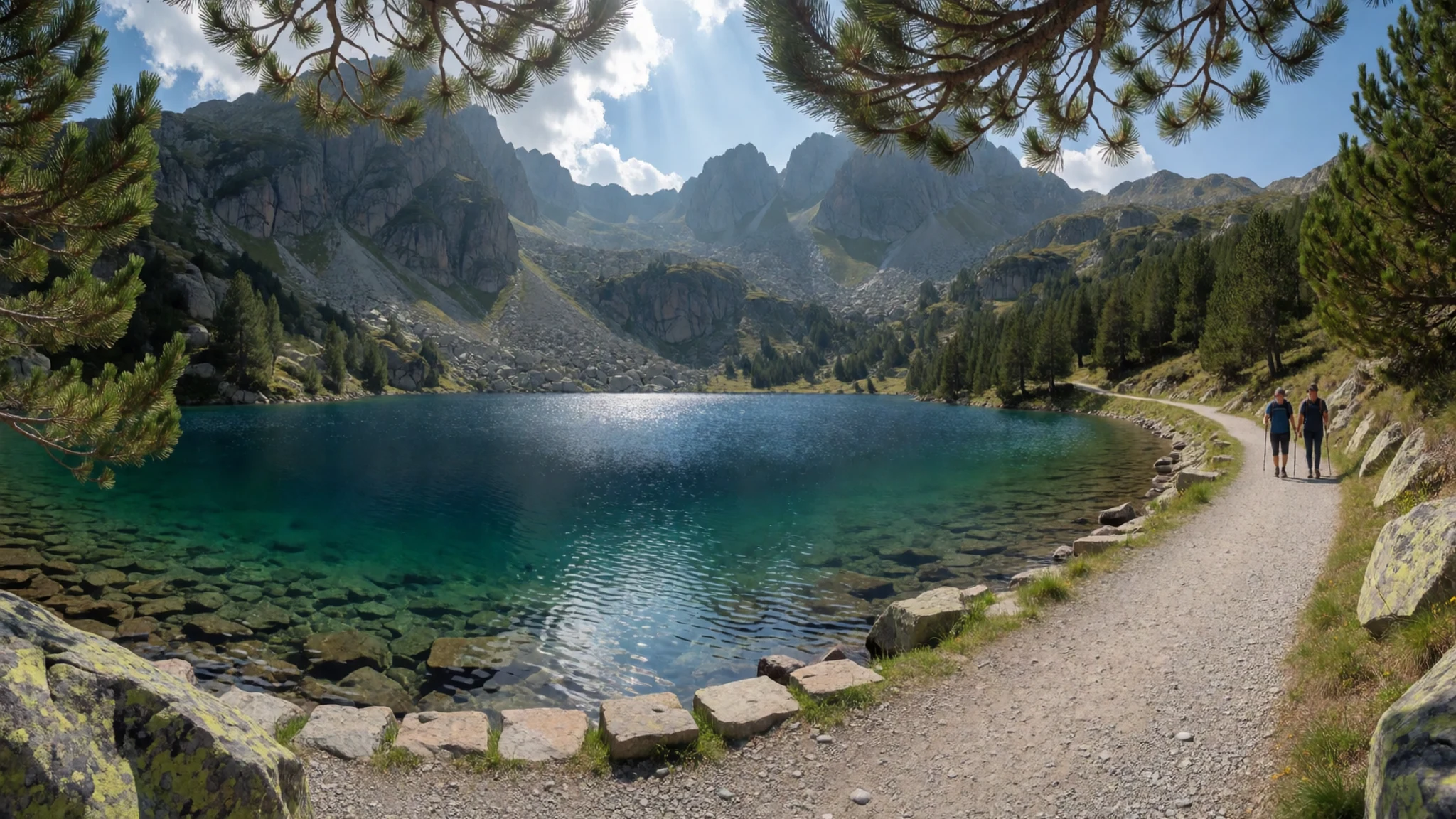
- Aigüestortes river-and-lake valleys — Espot valley approaches
Aigüestortes is named for winding streams that braid through valley floors and then open into lake pockets. The best feel comes from hiking between water features—bridges, bends and glacial basins appear in sequence.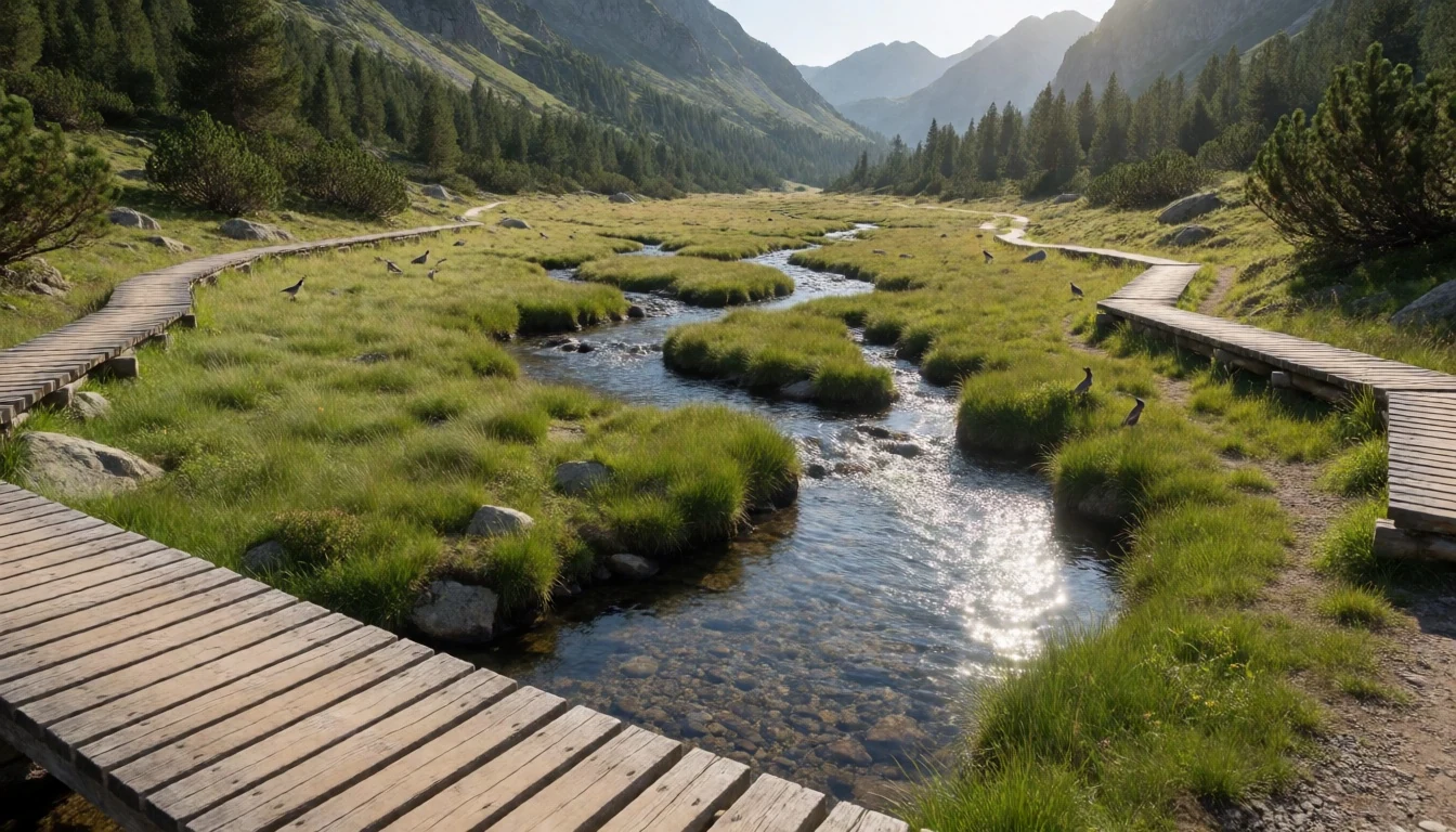
- Lake viewpoints around Sant Maurici — Sant Maurici viewpoints
Around Sant Maurici, short detours can lift you above the shorelines for overviews. These viewpoints are where the lake system looks like a patchwork—water edges, rocky banks and distant ridgelines all in one frame.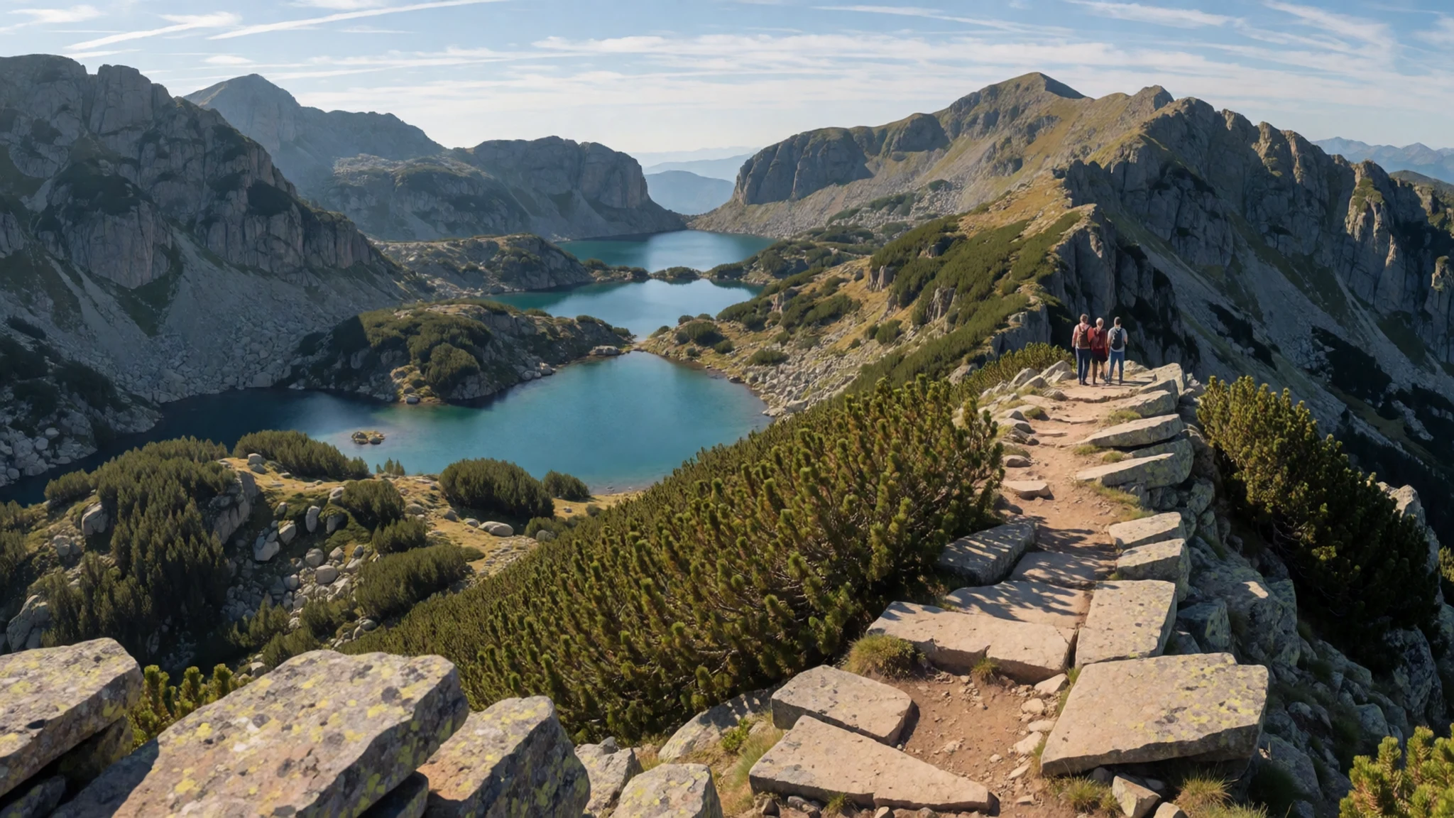
- Sant Maurici–Estany routes (short hikes) — Sant Maurici to nearby lakes
Between Sant Maurici and nearby lake targets, the park’s routes work well as shorter day hikes. Expect changing ground—forest to higher slopes—with steady rewards when the trail crests and a new lake basin appears.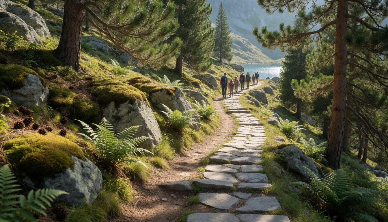
- Mountain refuges: Estany Llong and Colomina — High-lake refuge routes
Refuges like Estany Llong and Refugio Colomina give your hike a “destination” that’s also a lens on the high mountains. They’re especially useful for longer days, because the scenery keeps widening as you climb.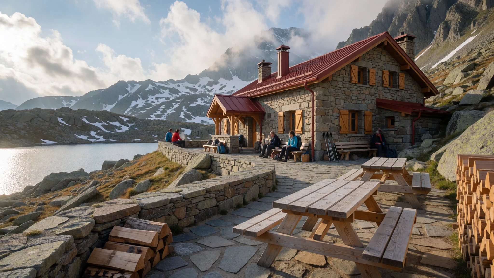
- Espot and Vall de Boí-adjacent landscapes — Espot and Vall de Boí areas
Espot and the Vall de Boí approaches put the park’s mountain character into context: villages, valleys and trails that lead upward into glacial terrain. If you’re comparing areas, these edges show how different valleys feel before the higher basins.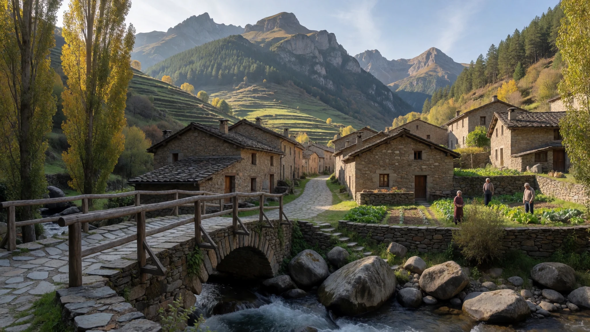
Culture
Aigüestortes i Estany de Sant Maurici National Park is protected wilderness in the Catalan Pyrenees, so the “culture” is mainly how people behave outdoors. The park’s management rules are strict: forestry exploitation, fishing, camping and other resource uses are forbidden, while cattle breeding and operative hydroelectric generation are allowed. That management shows up in what visitors are asked to do—stay on marked routes, keep to the rhythm of mountain safety practices, and treat the landscape like something to pass through carefully rather than something to conquer.
In settlements around the park (Espot, Boí and the surrounding valleys), you’ll still feel local life—cafés, picnic areas and routes that funnel hikers towards trailheads. But inside the park, the atmosphere is quieter and more seasonal: spring can bring cold and wet ground, while late autumn can mean crisp air and early darkness. Wildlife is part of the experience, so loud groups or off-trail shortcuts can quickly spoil both safety and the chance of peaceful encounters.
Visitor etiquette: Stay on marked paths, keep noise down in sensitive areas, and pack out everything you bring in.
What to wear
In and around Aigüestortes i Estany de Sant Maurici National Park, the traditional “look” is less about town clothes and more about mountain-ready dressing that matches the terrain and weather swings. Catalonia’s high-country culture isn’t the same as a single outfit you’ll see everywhere in the park, but the underlying idea is practical layers—because temperatures can shift quickly in the mountains and rain can turn trails slick.
What people wear now is mostly outdoor gear: waterproof jackets, trekking trousers or leggings, breathable layers, and sturdy boots with good grip. On higher routes, warm layers matter even when the sun is out. If you’re stopping in villages for food, you’ll see casual clothes mixed with day-hiking shoes, and then hikers moving back into weather protection.
What to wear as a visitor: bring a waterproof outer layer, insulating mid-layer, and a pair of boots you trust on rocky, muddy ground. Pack a hat and gloves for cooler conditions, and avoid cotton-only outfits because they stay damp. If the forecast turns, your comfort will come from layers you can add or remove quickly.
What to eat
- Bar-restaurant meals in the village network — Bars and restaurants in villages around the park
Aigüestortes visits tend to pair well with hearty bar-restaurant food in nearby villages. Expect simple Catalan comfort meals, often ideal after a wet or long walk, with local ingredients showing up in daily specials.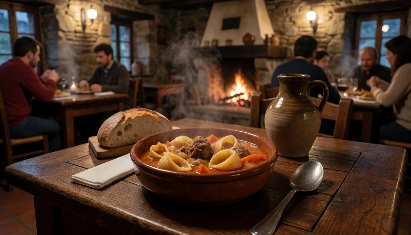
- Les Ares — Les Ares area (near the park)
Les Ares is one of the village places listed for eating near the park area. It’s the kind of stop that works for a midday meal before you head back to trailheads, keeping things practical for hikers.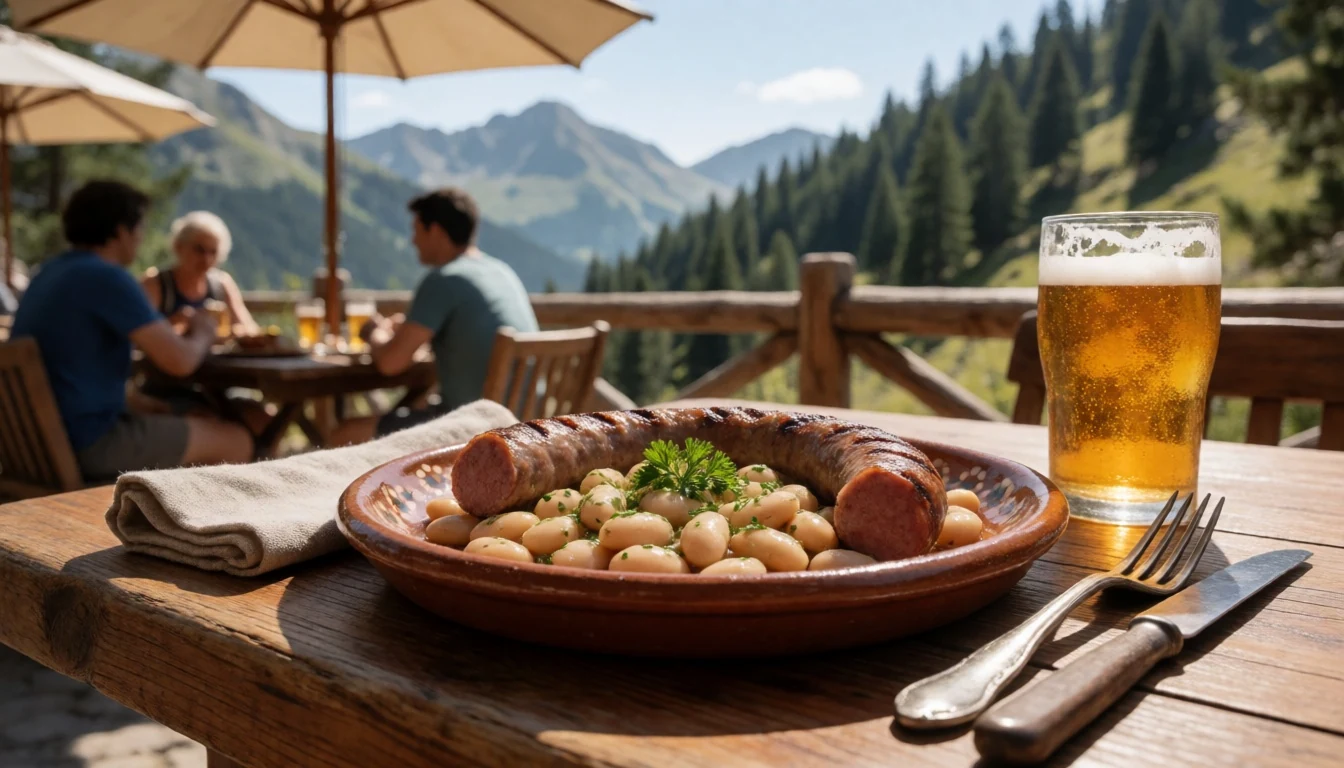
- Conangles grilled stop — Conangles
Conangles is noted for grills and a convenient, road-linked place to eat around itineraries. It suits travellers who want something quicker than a full sit-down meal, especially when you’re planning longer days outdoors. - Picnic spreads at Bordes de Llessuí — Bordes de Llessuí picnic area
Bordes de Llessuí is a picnic area option for stocking up with sandwiches and easy snacks. It’s a good match for a “break in nature” day—less fuss, more time enjoying the landscape at your own pace. - Capdella picnic area stop — Capdella picnic area
Capdella is listed as a picnic area with parking and basic amenities, which makes it handy when you want a viewpoint break without committing to a long hike. It’s a steady choice for families and casual walkers.
Plan it
Best time. Late spring and early autumn: March–April for clearer days after winter and more manageable conditions, and October–November for cooler air and autumn light; mountain weather can still change fast.
How long. 3–4
Getting there. Fly into Barcelona El Prat (BCN) or Toulouse–Blagnac (TLS), then continue by road into the Pyrenees; the park is far from major airports and the final approach is by mountain roads to Espot or the Vall de Boí area.
Budget. mid
Tips
- Base yourself near Espot or Boí so you can start hikes early and avoid midday rushes.
- Check conditions before setting off; in high mountains the weather can change abruptly.
- Use proper mountain gear: boots and warm, rain-protective clothing.
- If the route feels exposed, postpone and adjust—access in winter and shoulder seasons can be limited.
- For longer days, plan around mountain refuges rather than expecting one hike to do everything.
Etiquette
- Wear footwear with grip and stay on marked paths, especially near streams and lake edges.
- Avoid noisy behaviour in quiet valleys where wildlife may be near.
- In rough weather, move as a team and don’t push beyond your group’s strength.
Nearby
Sources
- Wikidata Q1470066 (CC0)
- Wikipedia (Aigüestortes i Estany de Sant Maurici National Park) (CC BY-SA 4.0)
- Wikivoyage (Aigüestortes i Estany de Sant Maurici National Park) (CC BY-SA 4.0)
- Photo: Estany de Sant Maurici (Wikimedia Commons) (CC BY 3.0)
- Photo: Sant Maurici lake (Wikimedia Commons) (CC BY 3.0)
- Photo: Aigüestortes from Son (Wikimedia Commons) (CC BY-SA 3.0 es)
- Photo: Aiguestortes 1 (Wikimedia Commons) (CC BY-SA 3.0 es)
- Photo: Aiguestortes 4 (Wikimedia Commons) (CC BY-SA 3.0 es)
- Photo: Refugi d'Estany Llong (Wikimedia Commons) (CC BY 3.0)
- Photo: Refugio Colomina (Wikimedia Commons) (CC BY 3.0)
- Photo: San Maurici lake (Wikimedia Commons) (CC BY 3.0)


