Aberdare Range
Aberdare Range, Kenya
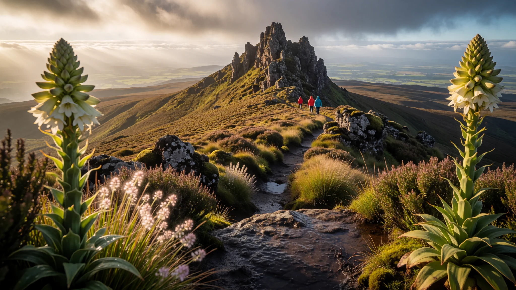
The Aberdare Range offers cool high-altitude moorlands, plunging waterfalls, dense bamboo thickets, and rich Kikuyu cultural heritage in Kenya's misty highlands.
The place
The Aberdare Range forms a dramatic high-altitude volcanic ridge running along the eastern edge of Kenya's Rift Valley. Known locally in the Kikuyu language as Nyandarua, meaning a drying hide, the contour of these rolling peaks resembles a stretched animal skin against the sky. Rising above dense mist, the mountain slopes transition through distinct botanical zones, starting with lush lower rainforests and thick stands of alpine bamboo before opening into wide moorlands covered with giant heather, lobelias, and tussock grass.
Glacial streams carve deep ravines across the plateau, giving rise to magnificent cascades that drop into forested valleys below. The damp, cool climate creates a sanctuary for diverse wildlife, including forest elephants, colobus monkeys, leopards, and rare mountain antelopes that thrive within the tangled understorey. Cool temperatures prevail throughout the year, with heavy mist clinging to the ridges during early morning hours and frequent rain showers refreshing the mountain streams.
Traversing the ridge presents a contrasting landscape to the sun-baked plains of eastern Africa. Rocky outcrops like sharp volcanic spires break through the green mantle of the summit ridge, offering views across the Great Rift Valley towards nearby lakes. Hikers and travellers who venture into these cloud-capped heights encounter an uncrowded wilderness where roaring waterfalls break the deep silence of the high-altitude forest.
Its story
The Aberdare Range holds deep historical and spiritual significance for the Kikuyu people who have lived along its slopes for generations. Believed to be a sacred dwelling place second only to Mount Kenya, the mountain range provided shelter, clean water, and fertile soil for surrounding agricultural communities. The name Nyandarua reflects the traditional pastoral and hunting traditions of the region, where hides were stretched out to dry across flat stones under the sun.
During the mid-twentieth century, these impenetrable mountain forests became a central stronghold during Kenya's struggle for independence. Freedom fighters utilised the dense canopy, hidden caves, and treacherous terrain of the high ranges to evade colonial patrols, establishing supply lines and headquarters deep within the bamboo thickets. Key leaders of the liberation movement operated from hidden camps hidden within the mist, turning the rugged landscape into a natural fortress that proved nearly impossible to penetrate.
In the decades following independence, the Aberdares transitioned from a battlefield into a protected national conservation area. Park authorities and surrounding communities worked together to preserve the vital water catchments that feed major Kenyan rivers and supply water to millions of people downstream. Today, ongoing conservation projects focus on protecting endangered wildlife from poaching, managing human-wildlife conflict along the forest perimeter, and safeguarding the unique alpine flora for future generations.
What to see
- Karuru Falls and Gura Falls — Central Aberdare National Park
Karuru Falls drops in three spectacular tiers down a steep cliff face into a deep forested gorge. Directly opposite across the ravine, Gura Falls plunges into the same river valley. A scenic wooden lookout platform allows visitors to witness both waterfalls cascading simultaneously through the mountain mist.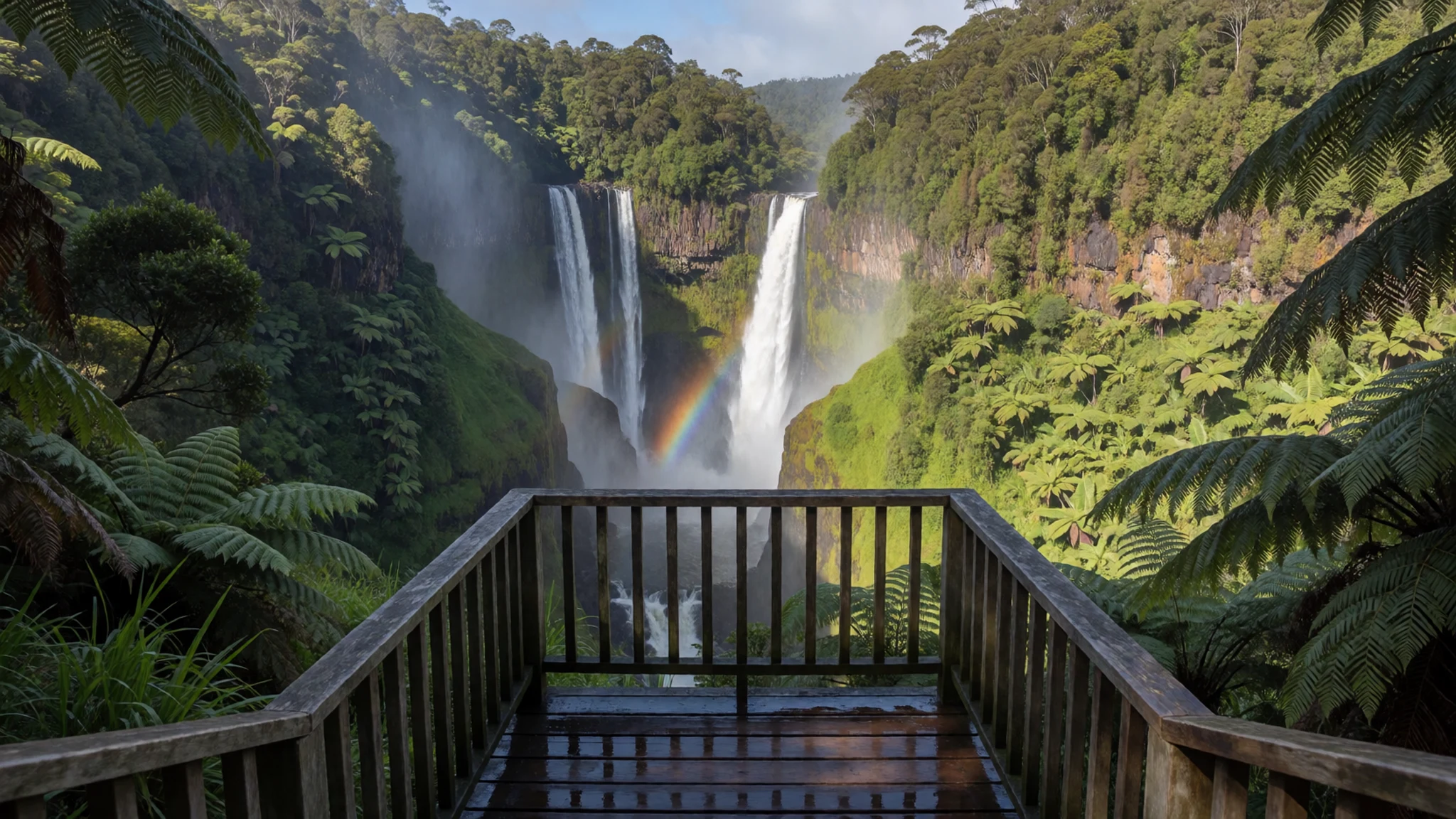
- Elephant Hill — Southern Aberdare Range
Elephant Hill provides one of the most rewarding day hikes in the southern portion of the range. The trail ascends steep slopes through bamboo forests and dense heather zones, ultimately reaching a high summit ridge that offers sweeping views across the surrounding agricultural valleys.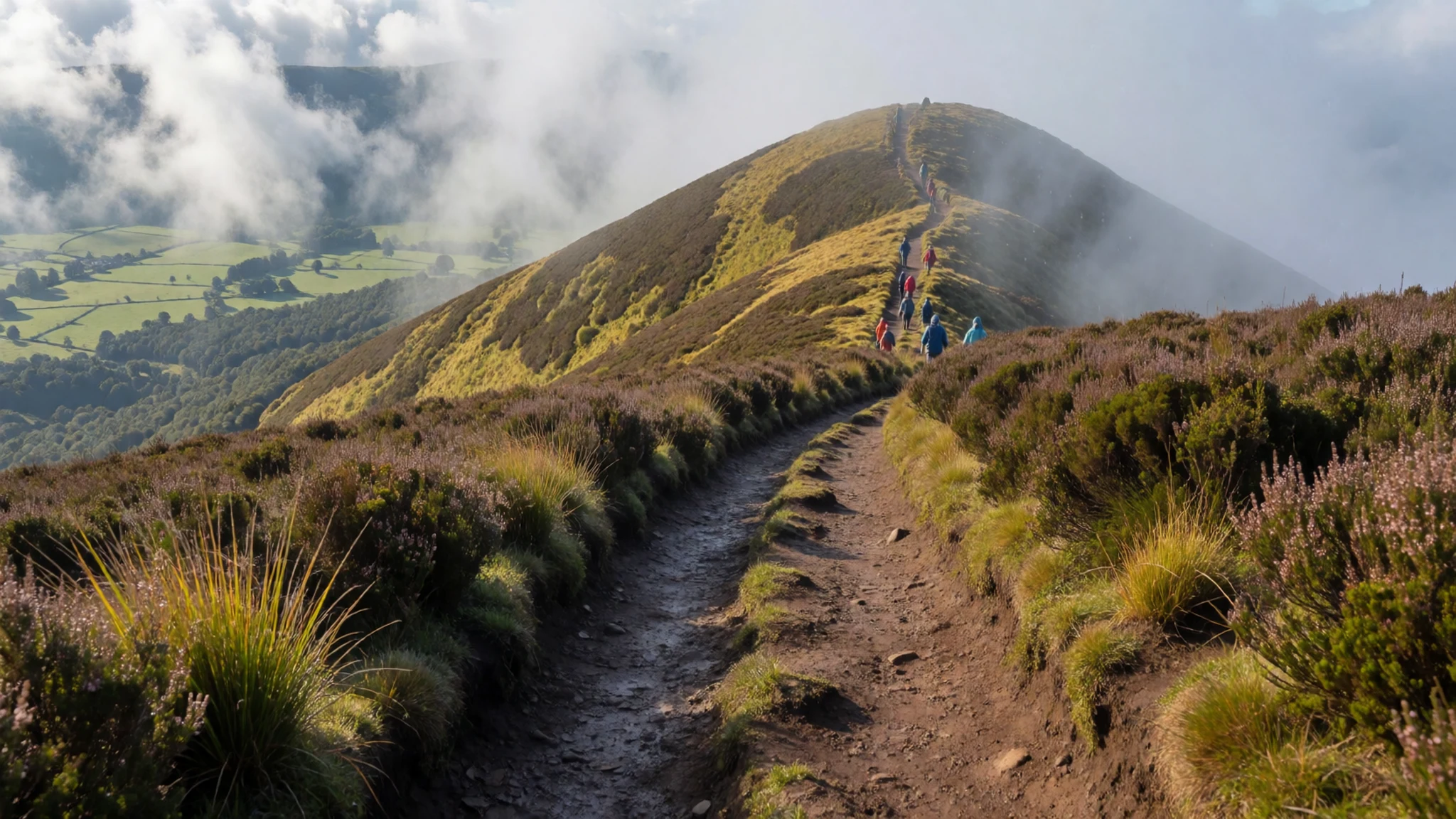
- Dragon's Tooth — Northern Aberdare Plateau
Dragon's Tooth is a jagged formation of volcanic rock standing proudly above the northern moorlands. The unusual rock pinnacles create a dramatic silhouette against the open sky, making this remote summit a popular objective for adventurous trekkers seeking rugged mountain scenery.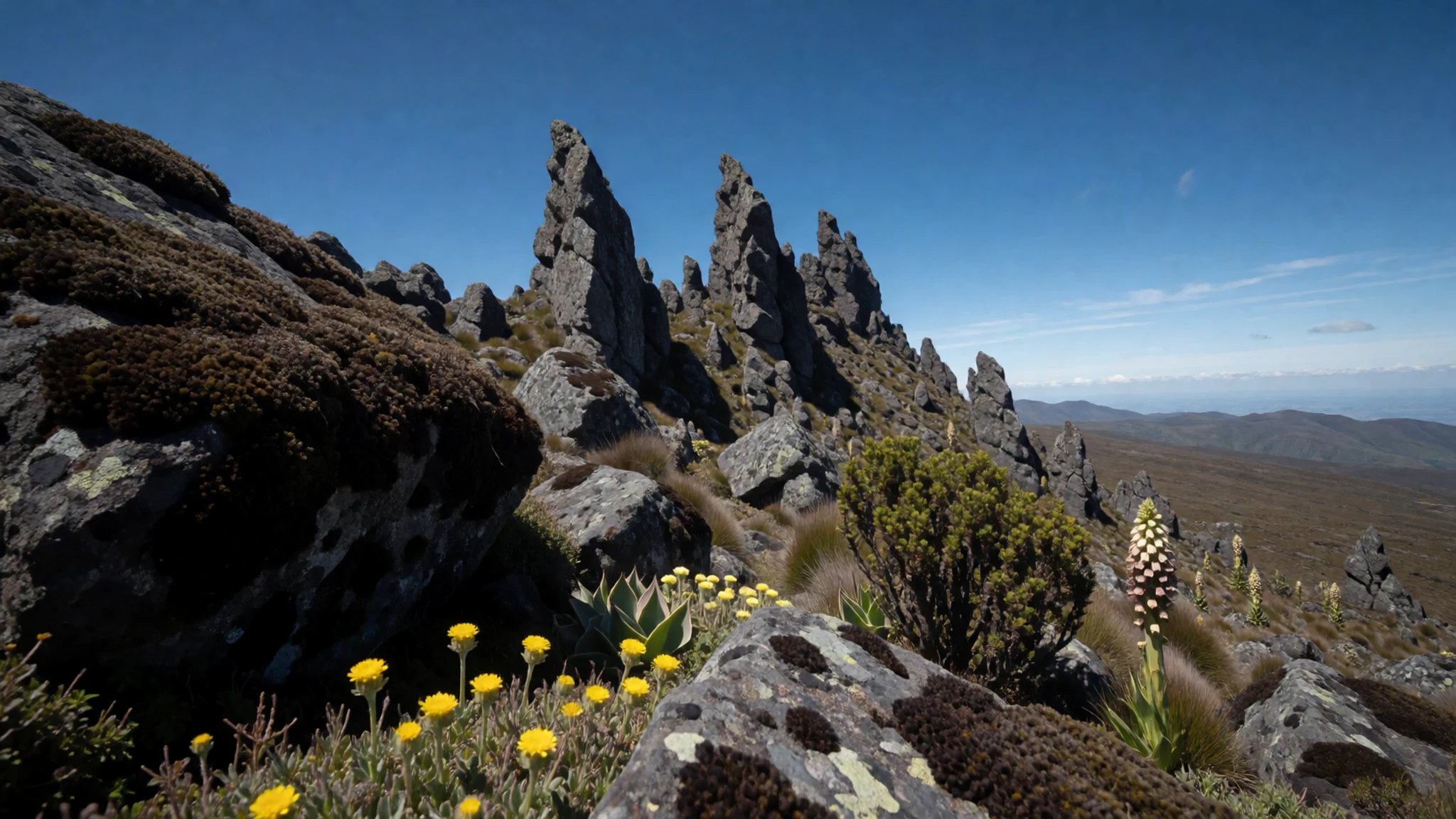
- Table Mountain — High Moorland Zone
Table Mountain features a distinctive flat-topped plateau surrounded by high-altitude vegetation. The hiking route leading to this high peak crosses open tussock grassland dotted with giant lobelias, offering wide panoramas across the cloud forest and distant rift valley lakes.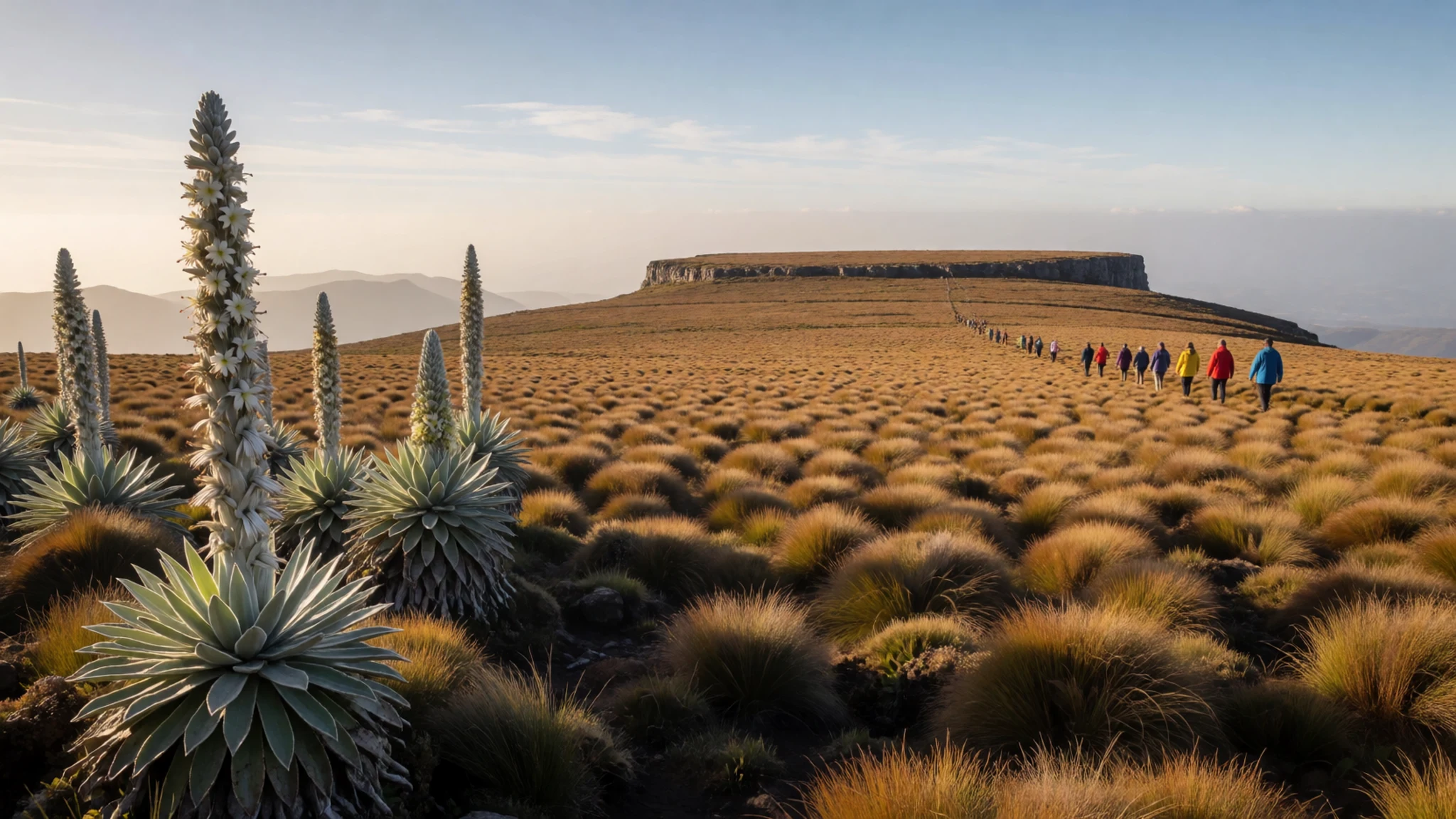
- Bamboo Forest Trail — Mid-elevation slopes
The dense bamboo forest belt encircles the mountain range at mid-altitudes, creating eerie green corridors where sunlight filters through towering stalks. Forest tracks through this zone offer opportunities to spot colobus monkeys leaping between branches and rare mountain birds feeding among the dense foliage.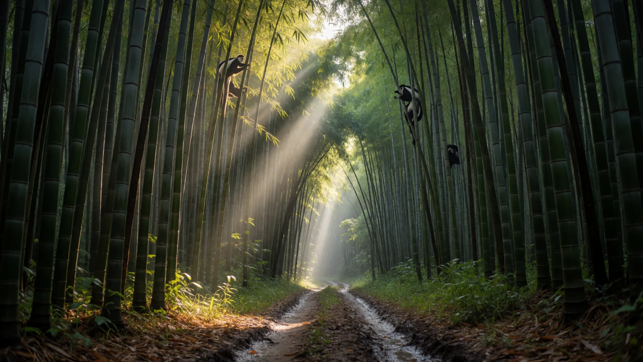
Culture
The Aberdare Range forms an integral part of the cultural identity of the Kikuyu people living in the surrounding highland counties. Traditional belief systems regard these mountains as a place of reverence and natural abundance, where prayers were historically offered facing the high peaks. Storytelling, folk songs, and oral histories preserved by community elders continue to honour the forest as a sanctuary that sustained ancestors during times of conflict and drought.
Living alongside the forest edge has fostered a deep community commitment to environmental stewardship. Local conservation groups collaborate with park rangers to protect forest resources, manage livestock grazing boundaries, and plant native trees along buffer zones. Craft traditions remain strong in nearby towns, where weavers craft sturdy baskets from natural plant fibres and wood carvers produce utilitarian items from sustainably harvested timber.
Respect local customs when visiting towns and rural villages near the park boundaries, and always ask permission before taking photos of residents or forest wardens.
What to wear
The Aberdare Range demands practical, layered clothing due to its cool, damp high-altitude climate. Traditionally, Kikuyu communities in the central highlands wore garments crafted from treated animal skins, decorated with intricate glass beadwork, cowrie shells, and copper ornaments. Over time, brightly coloured woven cotton wraps known as lesos or kangas became widespread, featuring swahili proverbs printed along their borders and worn over shoulder wraps or dresses.
Today, residents in towns around the foothills wear contemporary western-style clothing adapted for cooler mountain weather. Woollen sweaters, heavy jackets, fleece coats, and sturdy rubber boots are everyday essentials for farmers, guides, and market traders working outdoors in the mist and rain. Brightly patterned scarves and lesos remain popular among women for daily wear and formal social gatherings.
Visitors to the high plateau should prepare for rapidly changing weather conditions, including rain, strong winds, and low temperatures. Layering is essential: start with moisture-wicking thermal base tops, add an insulating fleece sweater, and finish with a waterproof and windproof jacket. Sturdy, waterproof hiking boots with good ankle support are vital for muddy mountain trails, alongside thick woollen socks, waterproof gaiters, and a warm beanie hat.
What to eat
- Mukimo (Irio) — Eateries in Nyeri and mountain village homesteads
A classic highland staple made by mashing green peas, potatoes, corn kernels, and pumpkin leaves into a hearty paste. Mukimo is served hot alongside slow-cooked stews or roasted meats.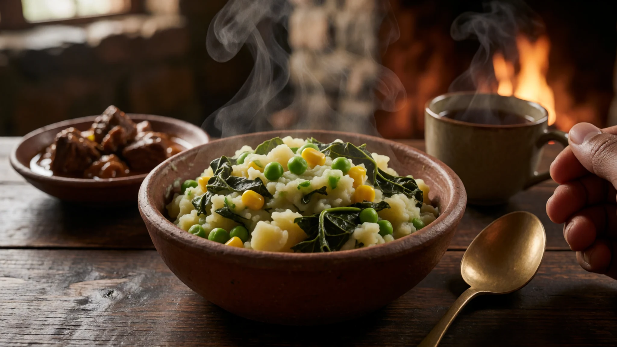
- Nyama Choma — Roadside grills and town taverns near park gates
Seasoned goat or beef grilled slowly over open charcoal embers until tender. This popular dish is carved to order and served with fresh kachumbari tomato salad and warm ugali.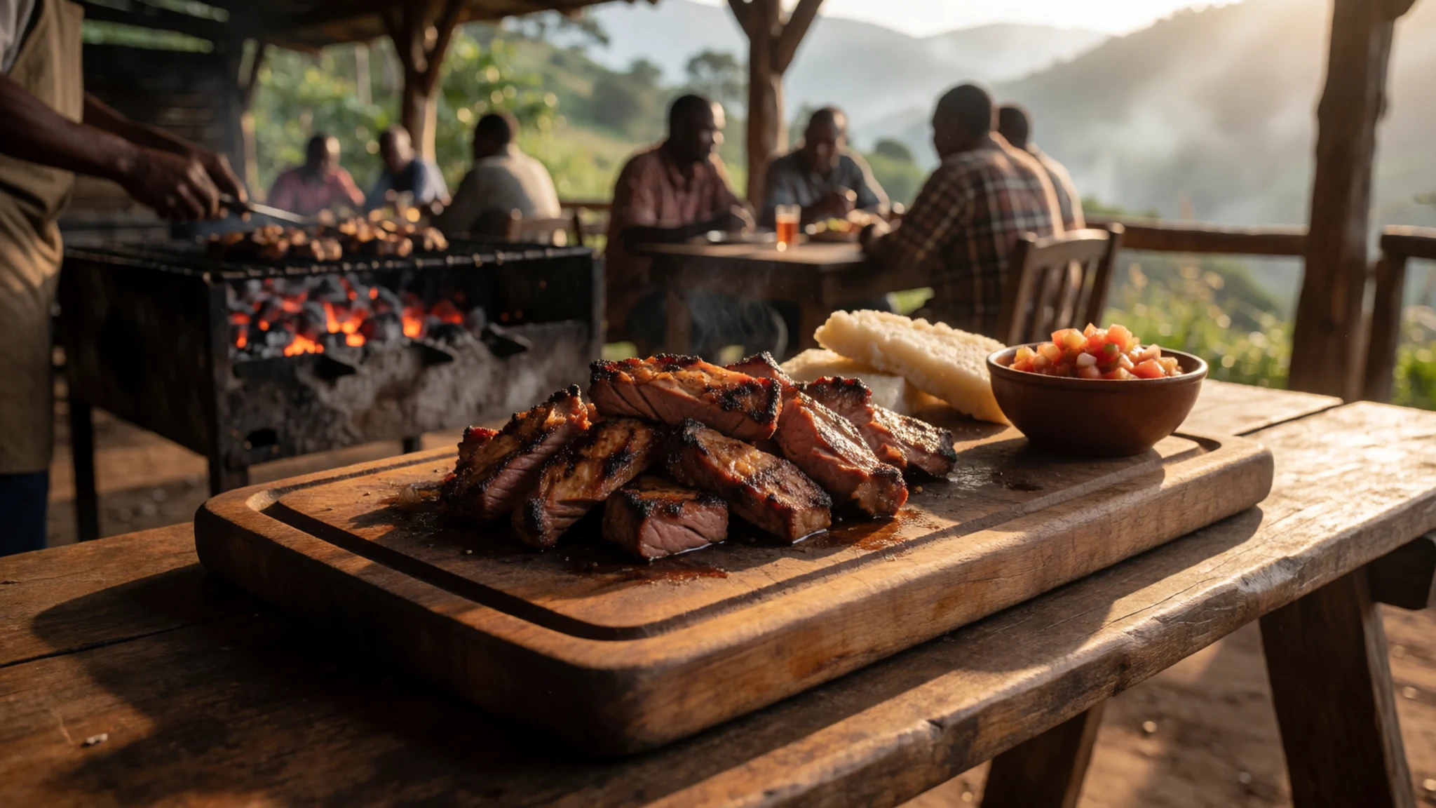
- Githeri — Market stalls and local canteens throughout Nyandarua
A nourishing stew of whole maize kernels and kidney beans boiled together and seasoned with onions, tomatoes, and local spices. It provides long-lasting energy for farmers and mountain hikers alike. - Sukuma Wiki and Ugali — Village eateries and family-run dining spots
Finely chopped collard greens sautéed with onions and tomatoes, paired with dense cornmeal porridge. This ubiquitous Kenyan meal is eaten by hand and offers a fresh, savoury taste of home cooking. - Highland Chai — Tea kiosks and roadside tea houses along the mountain slopes
Strong black tea brewed directly with whole milk, water, sugar, and crushed ginger. Served piping hot in enamel mugs, it offers welcome warmth after a morning walk in the crisp mountain air.
Plan it
Best time. January to February and July to September bring drier weather and clearer trails, whereas heavy rain in April, May, and November makes mountain tracks muddy.
How long. 2–3
Getting there. Fly into Jomo Kenyatta International Airport in Nairobi, then travel north by road for three to four hours to reach the park access gates via Nyeri or Naivasha.
Budget. mid
Tips
- Book an armed park ranger in advance at the gate for guided hikes through forest zones
- Carry extra warm layers and waterproof outer jackets as mountain weather changes rapidly
- Use a four-wheel-drive vehicle to navigate steep, unpaved park tracks during wet conditions
- Bring adequate drinking water and high-energy snacks for day hikes
Etiquette
- Keep to designated hiking trails to avoid disrupting sensitive high-altitude vegetation
- Pack out all rubbish and plastics to protect native wildlife habitats
- Obtain proper park permits and adhere to guidance from wildlife wardens
Nearby
Sources
- Wikidata Q319371 (CC0)
- Wikipedia Aberdare Range (CC BY-SA 4.0)
- Wikivoyage (CC BY-SA 4.0)