Walls of Jerusalem National Park
Walls of Jerusalem National Park, Australia
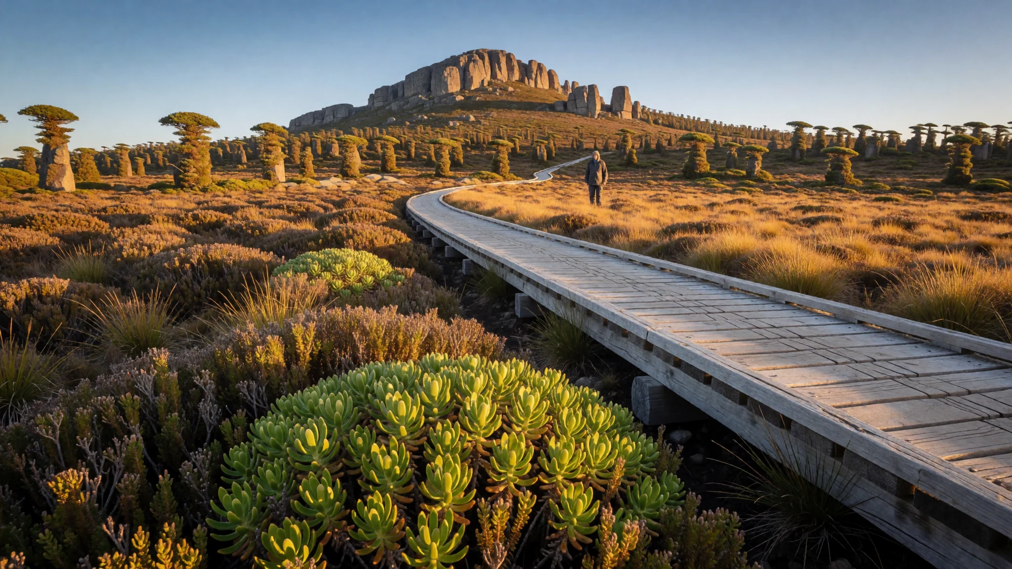
A remote highland wilderness where biblical-named peaks rise above fragile alpine heath and giant glacial tarns.
The place
Walls of Jerusalem National Park is a rugged slice of the Central Highlands in northern Tasmania, situated roughly 144 kilometres northwest of Hobart. The landscape is defined by dramatic rock faces and deep valleys that, to its early European observers, evoked the fortifications of an ancient city. Founded in the late 1970s, the park encompasses about 518 square kilometres of protected terrain, much of which is designated wilderness. The dominant features are the granite monoliths, particularly King David's Peak, which towers at 1,509 metres above sea level. Much of the walking infrastructure consists of elevated boardwalks, a necessary measure to shield the delicate alpine vegetation from trampling foot traffic. The area is dotted with clear, often turquoise, glacial lakes that reflect the surrounding cliffs. While accessible by car to the day-use areas, the deeper parts of the park are reachable only on foot, requiring hikers to carry their own provisions and shelter. The isolation is profound; there are no permanent ranger stations, meaning visitors must be self-sufficient and prepared for shifting weather. The park forms a significant portion of the Tasmanian Wilderness World Heritage Area, linking it via wild tracking corridors to the nearby Cradle Mountain-Lake St Clair National Park to the east. It is a place of stark beauty, where the scale of the mountains dwarfs the human element and the winds can turn biting even in relatively mild months.
Its story
The naming of Walls of Jerusalem National Park is a story of perception and projection. In the 1970s, Reginald G. Hall, a geographer and explorer, traversed these windswept highlands and saw the towering sandstone and granite cliffs through the lens of the Old Testament. He believed the geological formations mirrored the defensive walls of Jerusalem, and he suggested the name to the then-premier of Tasmania. The moniker stuck, and the park’s features subsequently adopted biblical identifiers: Herods Gate, Lake Salome, Solomon's Jewels, and the Pool of Bethesda. This layer of Hebrew mythology overlays the ancient geological reality of the region, creating a unique cultural landscape where natural erosion is interpreted through the narrative of kings and prophets. Local legend adds a darker, more superstitious twist, speaking of a wandering prophet who curses the travelers who dare to enter the wilderness. While the biblical names provide a poetic map, the physical history is one of ice and fire. The alpine zones were shaped by the last ice age, carving out the deep lakes and sharp ridges seen today. The vegetation, largely composed of dwarf mountain beech and tussock grass, is incredibly slow-growing. A devastating fire in the 1960s damaged the native pine stands in lower elevations, prompting strict fire bans that persist today. The park’s protected status, formalized in 1978, was a response to the delicate balance of this high-altitude ecosystem, which supports rare species of flora and fauna found nowhere else in the world.
What to see
- King David's Peak — Central alpine ridge
The tallest peak in the park and a standout feature of the Central Highlands. The ascent is a steady climb that rewards hikers with a panoramic view across the surrounding crags and the distant coastline on clear days. It is a popular stopping point for those attempting the full multi-day loop, offering a moment of stillness amidst the high-altitude wind. The granite outcrops provide a stark contrast to the green alpine heaths.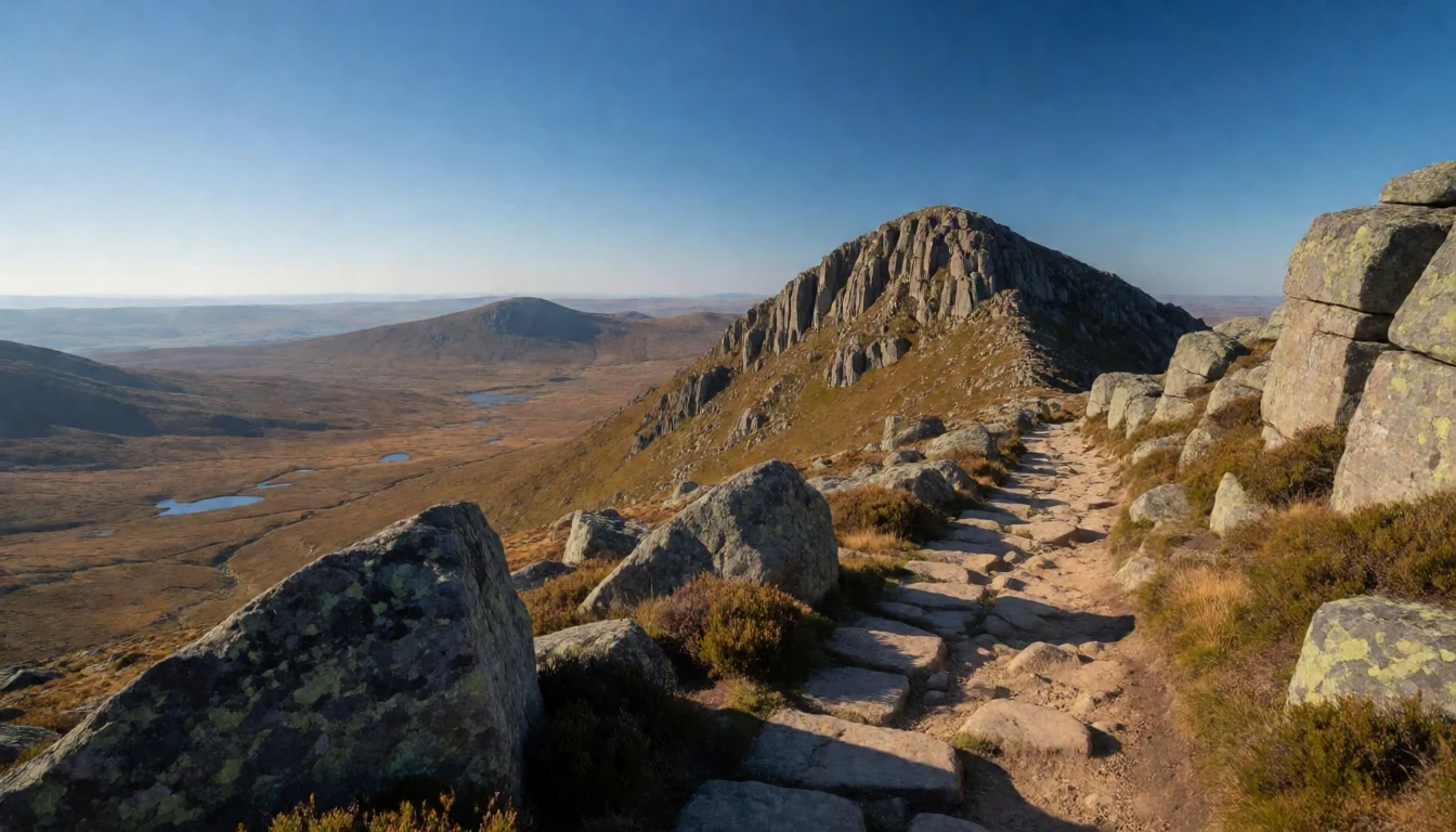
- The Pool of Bethesda — Lower alpine plateau
A glacial tarn with a biblical name that offers a striking visual contrast to its serene reality. The water is often a pale blue, surrounded by low-growing alpine plants. While it lacks the archaeological history of its Jerusalem namesake, it provides a prime location for observing the park's unique plant life. The surrounding boardwalks make it accessible without disturbing the fragile ground cover, allowing visitors to breathe in the clean, cold air of the highland basin.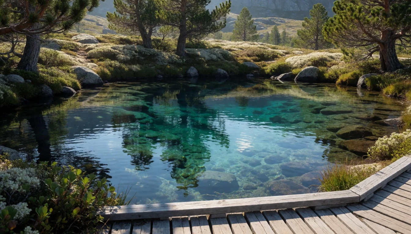
- Solomon's Throne — Main walking track
A naturally formed rock structure that rises sharply from the alpine floor. From the vantage point of the throne, the drop is steep, and the wilderness feels vast and unbroken. It is a dramatic spot for photography, especially during the golden hour when the light catches the texture of the sandstone. The location serves as a significant milestone on the main multi-day walk, marking a point where the landscape opens up to reveal the jagged spine of the park.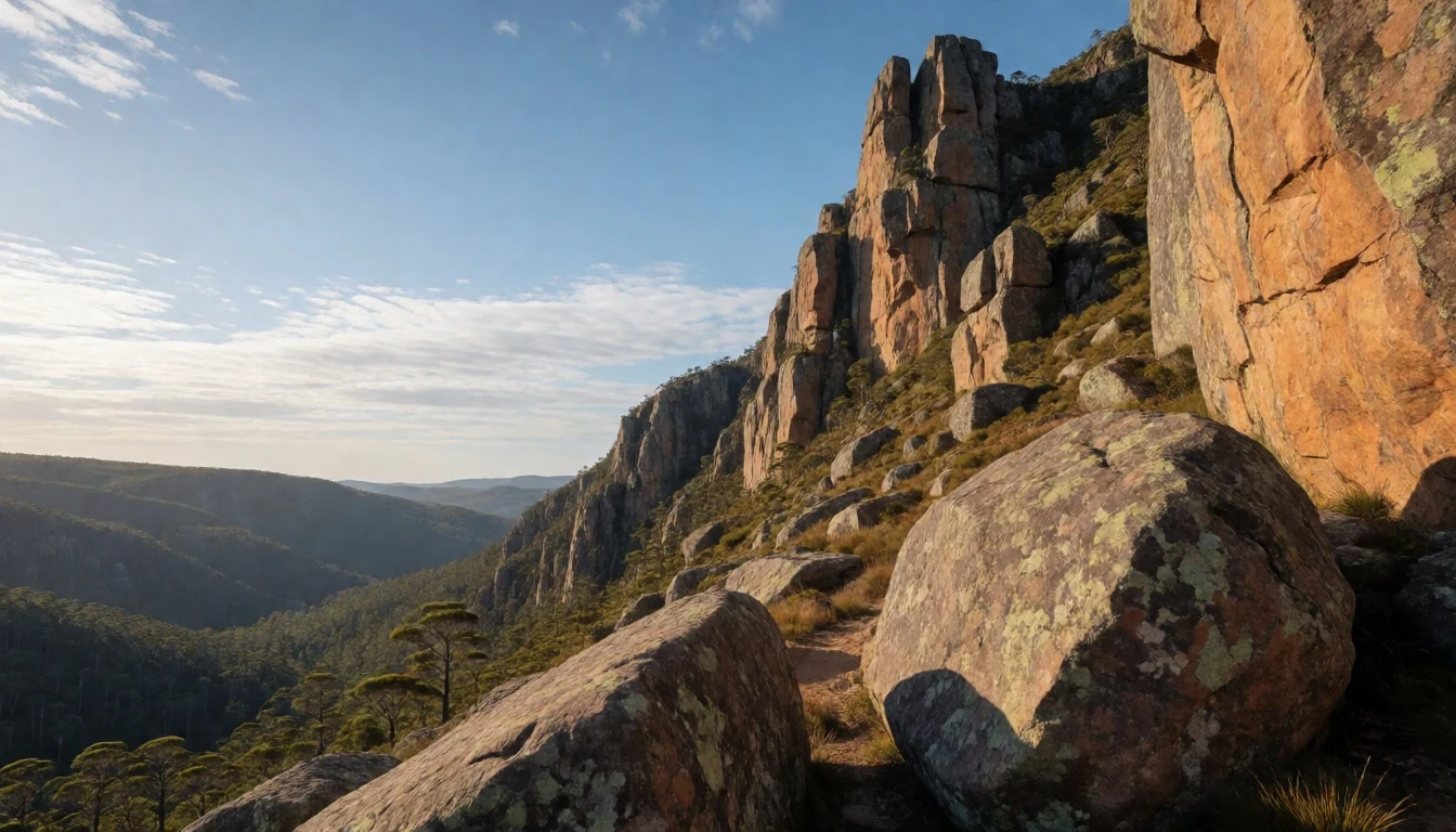
- The Temple — Eastern ridge
A peak reaching 1,446 metres that requires a sustained climb but offers exceptional views. The summit consists of a series of rocky outcrops that provide solid footing for photographers. The landscape here is more exposed than in the lower valleys, with strong winds and thin air affecting conditions quickly. It is a favourite for those who enjoy a bit more vertical challenge and rewards with a sense of scale that lowland hikes rarely provide.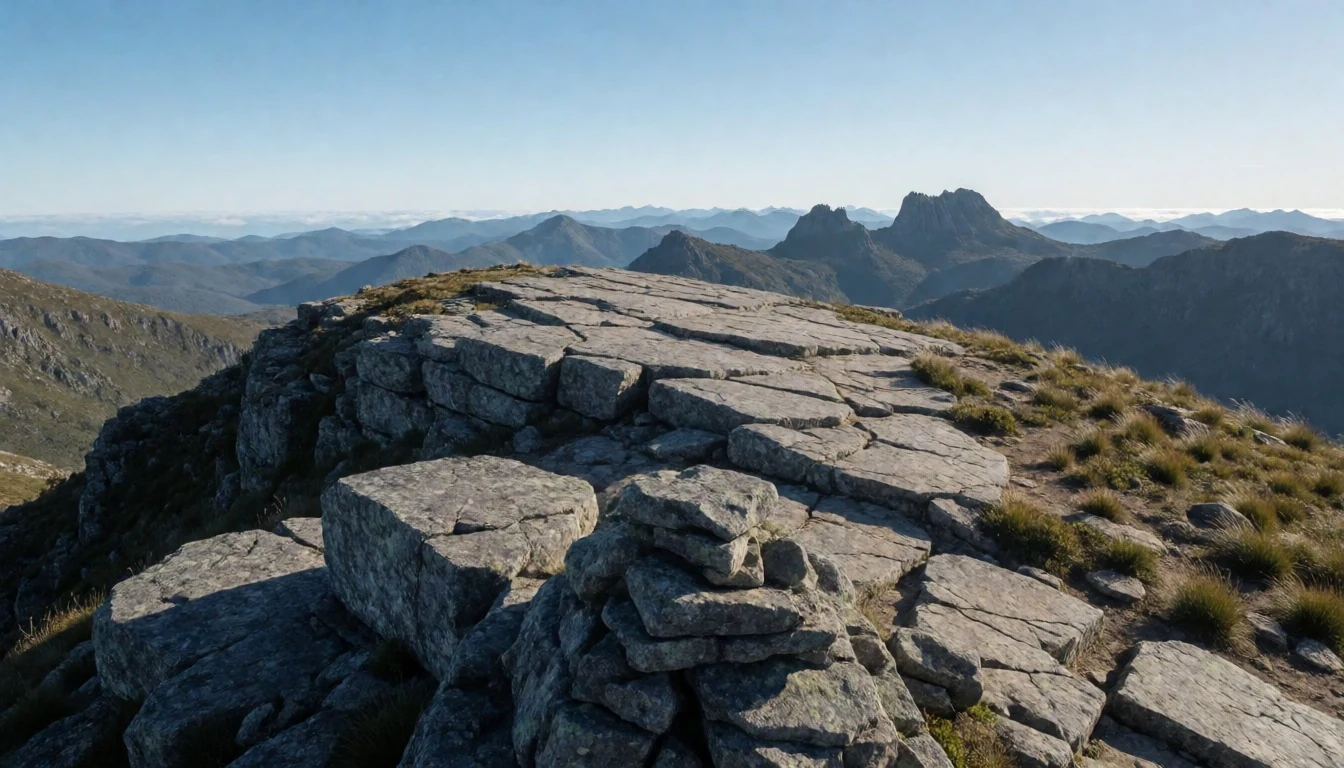
- Herods Gate — Approach to the central basin
A narrow passage cut through the rock wall that serves as a natural gateway into the inner basin of the park. The passage is tight and encourages a sense of transition from the open highlands into the more enclosed valley. The rock faces here are smooth and polished by wind and water. Moving through the gate is a memorable part of the walk because of the sudden change in the acoustic properties of the space and the visual framing of the road ahead.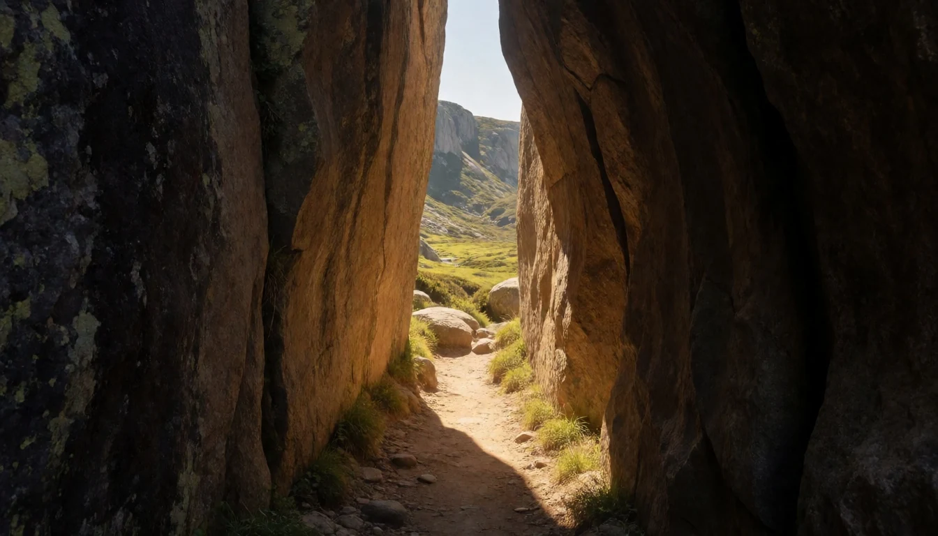
- Lake Ball — Eastern alpine zone
A small, deep waterhole tucked among the boulders of the highland plateau. Its waters are clear and cold, fed by snowmelt and underground streams. It is a popular place for hikers to rest and refill water bottles. The surrounding rock formations offer shelter from the wind, making it a comfortable spot for a lunch break. The name reflects the rounded shape of the water body from above, though on the ground it feels like a rugged, permanent pool.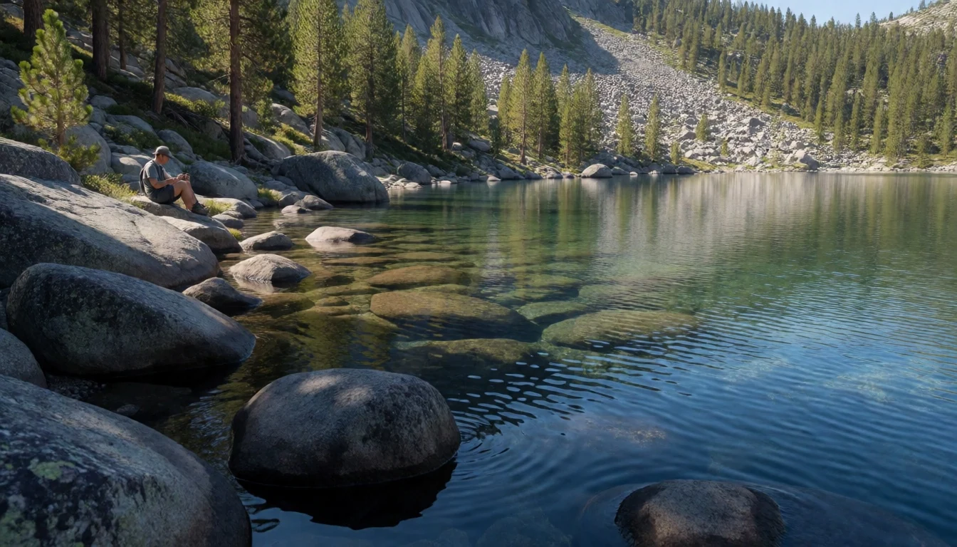
Culture
The culture of Walls of Jerusalem National Park is defined by the spirit of the bushwalker and the quiet reverence for the alpine wilderness. Unlike urban parks, there are no facilities or scheduled events here; the culture is one of self-reliance and low-impact travel. Walkers often speak of the 'alpine edge,' a psychological state reached when the familiar trees give way to exposed rock and wind. The biblical naming convention, while introduced by Europeans, has become part of the park's identity, creating a unique linguistic landscape that blends natural history with religious mythology. Hikers often treat the landscape with a sense of stewardship, recognizing that the boardwalks and fire bans exist to protect a slow-growing ecosystem. The silence is a cultural feature; the distance from the nearest town means that the sounds of traffic, birds, and wind are the primary soundtrack. For many, the walk is a spiritual practice, a time for reflection that mirrors the meditative quality of the unchanging rock. The community of regular walkers is small and dedicated, often sharing route updates and gear advice in local forums. The ethos is simple: leave no trace, respect the fragile vegetation, and accept the weather as it comes. Visiting Walls of Jerusalem means stepping into a culture that values endurance, preparation, and a deep respect for the natural world, where the greatest luxury is the absence of human noise. Always register your entry with the parks authority and carry a detailed map and compass, as GPS signals can be unreliable in the deep valleys of the park.
What to wear
Clothing in Walls of Jerusalem National Park is dictated by the unpredictable alpine climate rather than any specific regional tradition. While Tasmania has a history of woolen sweaters and heavy boots for the cold, modern hikers rely on advanced technical fabrics. Traditional dress is not a factor here, as the park is a wild, rural area rather than a cultural or religious site, but the practical needs of the environment are strict. Visually, the landscape is dominated by the earthy tones of granite, the grey-green of heath, and the white of the mist. Visitors typically dress in layers: a moisture-wicking base layer, a warm mid-layer such as a fleece or down jacket, and a waterproof and windproof shell. This 'onion layering' allows hikers to adjust to rapid temperature changes, which can drop significantly as one moves from the valley floor to the high peaks. Sturdy, ankle-supporting hiking boots are essential; the terrain is often rocky, wet, and uneven, and a slip can lead to serious injury. Comfortable, broken-in socks are equally important to prevent blisters during long days on the trail. Accessories include a warm hat and gloves, as even on a sunny day, the alpine wind can cause rapid heat loss. Sunglasses and high-SPF sunscreen are recommended, especially at higher elevations where the sun's intensity is fiercer. A lightweight, convertible rain jacket is also a wise choice, as weather systems can move in quickly from the west. The goal is functional, durable clothing that can withstand abrasion and moisture without restricting movement. Hikers should avoid loose accessories that can get caught on branches or rock ledges. The right gear makes the difference between a comfortable walk and a dangerous ordeal in one of Australia's most remote and rugged wilderness areas.
What to eat
- Crispbread and Ham — Any alpine field
A classic hiker's lunch, this pairing is lightweight, high-energy, and requires no preparation. The bread provides sustained release carbohydrates, while the cured ham adds protein and flavour without the weight of fresh meat. It keeps well in a pack and is resilient to minor temperature fluctuations.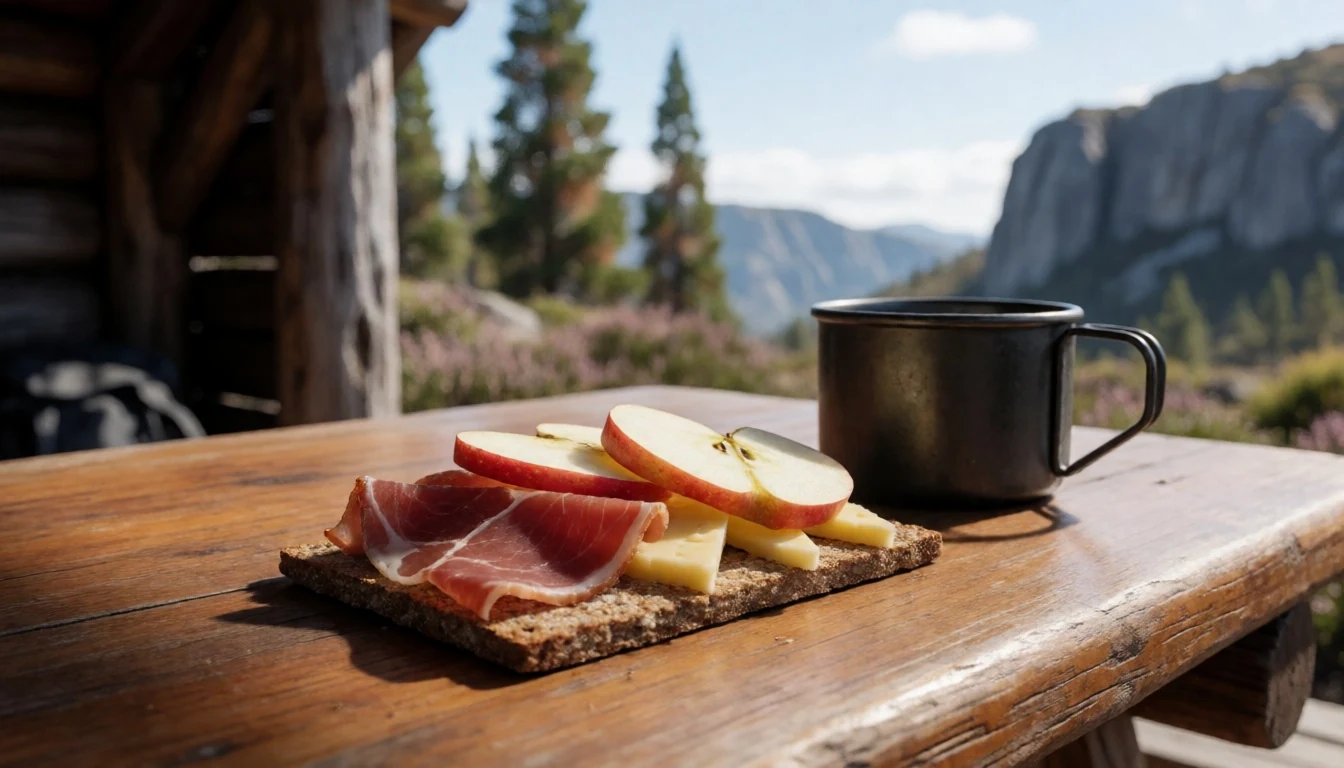
- Trail mix and Nuts — Backpack pocket
A combination of almonds, walnuts, and dried apricots offers a dense source of calories and healthy fats. This snack is perfect for keeping blood sugar stable during long ascents. It is easy to pack in small portion bags, ensuring that energy is available throughout the day.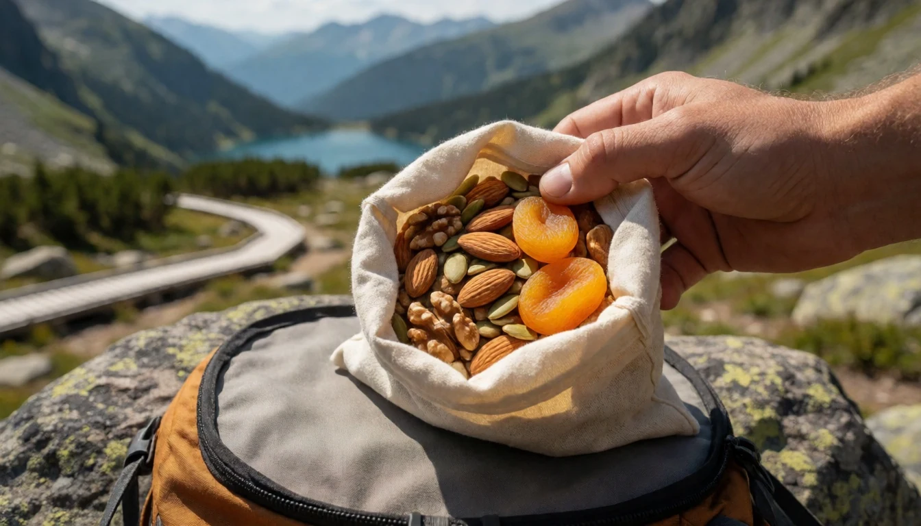
- Instant Soup and Penne — Campsite stove
For dinner, a packaged bowl of vegetable soup with quick-cook pasta is a comforting reminder of home. The hot liquid helps warm the body after a cold day on the trail, and the noodles provide the necessary carb load for the next day's hike. - Fresh Fruit — Rucksack cooler
Apples or clementines are surprisingly durable and provide a vital boost of vitamins and natural sugars. They are refreshing without the need for a spoon or plate, making them ideal for a light snack during a midday rest stop. - Herbal Tea — Campsite tent
A strong cup of ginger or rosehip tea can soothe the throat and provide a sense of normalcy in the wilderness. It is a hydrating drink that also offers a psychological comfort when the weather turns cold and wet. - Dried Meat Jerky — Daypack side pocket
High-protein beef or kangaroo jerky is a compact source of sustenance that contains minimal water weight. It is an excellent trail snack that can be eaten one-handed while navigating tricky rock steps.
Plan it
Best time. September to May is the general best time, with January and February being the warmest months. October and November offer a mix of colour and manageable temperatures. Winter (June to August) brings snow and ice, requiring special skills.
How long. 3–5
Getting there. Drive to Hobart (from the northwest of the island) or fly into Queenstown / Strahan for a coastal start. From Hobart, drive northwest along the Lakes Road/Doveton Highway. The carpark is reached via a short gravel road off C171 Mersey Forest Road. Check Tasmanian Parks service for current road status.
Budget. mid
Tips
- Book the wilderness hut (Dixons Kingdom or Trappers Hut) well in advance if staying overnight.
- Register your walk details with the Parks and Wildlife Service before entering the park.
- Carry a safety whistle, map, compass, and first-aid kit; mobile signal is extremely patchy.
- Start early to avoid afternoon thunderstorms, which are common in summer.
- Check the 3-day weather forecast daily; weather can change rapidly.
- Bring a full set of change of clothes for the campsite.
- Bring extra water or a reliable water filter.
- Confirm if you need to bring your own firewood; campfires are strictly prohibited, only stoves are allowed.
Etiquette
- Stay on the boardwalks wherever they are provided to protect fragile alpine vegetation.
- Do not light any flame-based fires, even in designated areas; use a camp stove.
- Register your entry details with the Tasmania Parks and Wildlife Service online before you start your hike.
Nearby
Sources
- Wikidata Q385655 (CC0)
- Wikipedia (CC BY-SA 4.0)
- Wikivoyage (CC BY-SA 4.0)