Río Abiseo National Park
Río Abiseo National Park, Peru
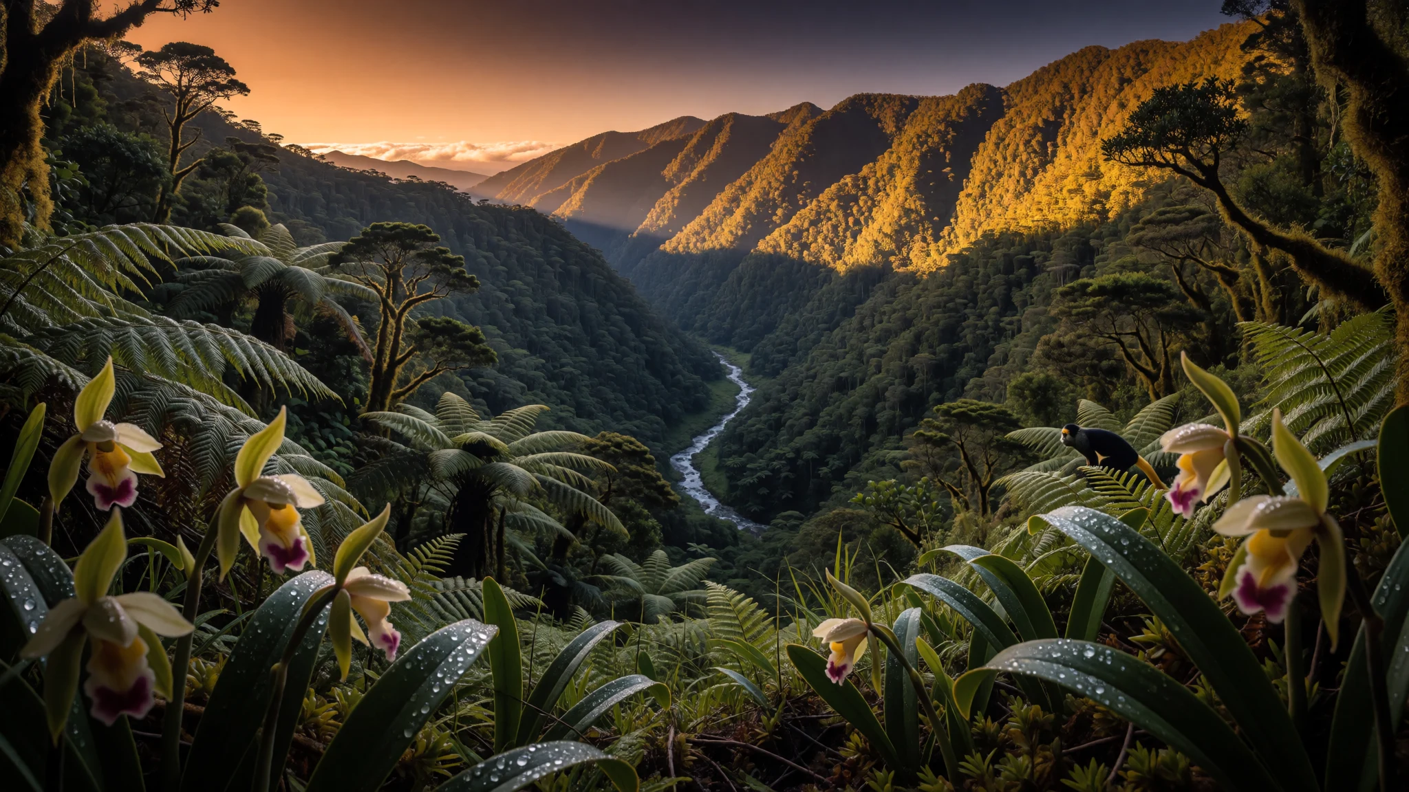
Río Abiseo is a high-humidity mountain world with cloud forest and archaeological remains—scientific in tone, wild in feel.
The place
Río Abiseo National Park (Parque Nacional del Río Abiseo) sits in Peru’s San Martín department, tucked between the Marañón and Huallaga rivers. It was established in August 1983 and later recognised as a World Heritage Site with both natural and cultural value.
The park’s personality is shaped by steep altitude changes and heavy mountain moisture. Elevations run from 350 m to 4,200 m, which helps explain why the landscape flips through multiple habitats in a relatively compact area. At the lower end are moist forests; higher up come Peruvian Yungas; and at the top sit Cordillera Central páramo grasslands. Much of the area is montane cloud forest—short, moss-and-lichen-covered trees that live with constant damp air and frequent rain.
Río Abiseo also holds archaeological layers. The park has over 30 pre-Columbian archaeological sites, including major ruins such as Gran Pajatén and other remains usually linked to the Chachapoyas. The combination of fragile ecosystems and fragile cultural ground is part of why the park’s access has been restricted: since 1986, it has not been open to tourism because of the vulnerability of both nature and archaeology.
If the aim is wildlife and forest scenery, expect humid trails, short visibility when the cloud rolls in, and very “local” weather. The reward is a sense of being in a real mountain system—forested ridges, river canyons, and the quiet weight of ancient settlement above the canopy.
Its story
Río Abiseo National Park feels like it was designed by geography rather than people. In Peru’s San Martín region, the park stretches between the Marañón and Huallaga rivers and covers an area of about 2,745.2 square kilometres. That scale matters because it allows several ecoregions to coexist—moist forests below, Peruvian Yungas in the middle, and high Andean páramo at the highest elevations.
Those ecological shifts are why the park is described in climate-zone terms rather than as a single “forest”. Rainfall is high, and humidity stays strong, especially in higher parts where cloud forest forms. Add the altitude ladder—down to 350 m and up to 4,200 m—and a single day can feel like a jump between different versions of the same wet mountain world.
Cultural history sits on top of that natural framework. Río Abiseo is known for a cluster of archaeological sites, including Gran Pajatén and the cliff tombs at Los Pinchudos, often associated with the Chachapoyas culture. The mid-1980s brought extensive archaeological work led by the University of Colorado, which helped document and interpret these remains.
Yet the park’s story also includes a hard boundary: since 1986, Río Abiseo has not been open to tourism, largely because the natural environment and the archaeological sites are fragile. That decision changes the atmosphere for visitors—this is not a place of casual sightseeing, but a protected landscape where exploration is typically limited and controlled.
What to see
- Gran Pajatén (ruins) — Montecristo River canyon area (Gran Pajatén ridge)
Gran Pajatén is the best-known archaeological site within Río Abiseo. The ruins sit on a forested ridge and look out over the Montecristo River canyon, which gives the place a dramatic, high-position feel even when cloud reduces the view.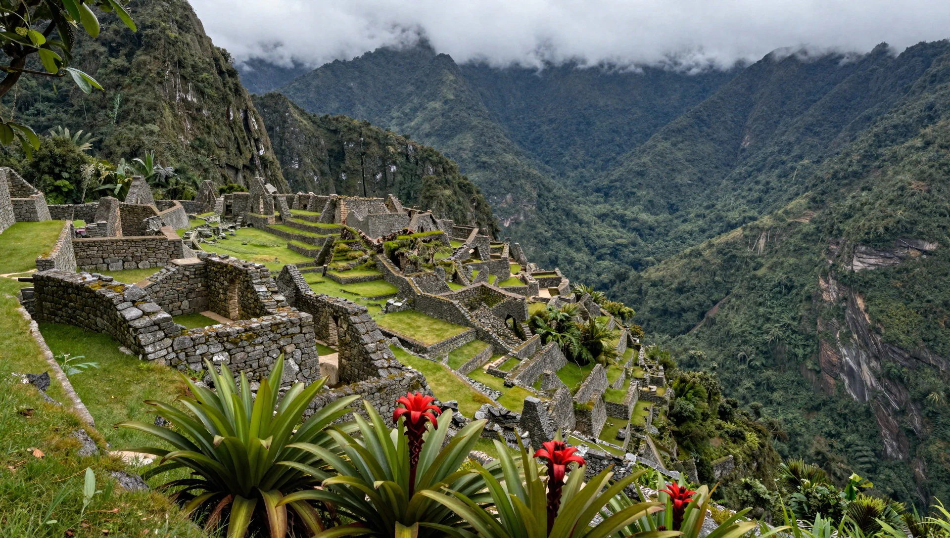
- Los Pinchudos (cliff tombs) — Cliff area near the Pataz region (Los Pinchudos)
Los Pinchudos comprises cliff tombs uncovered by Pataz villagers in the early 1970s. The setting is steep and vertical—an archaeological “up on the rock” experience that matches the park’s rugged terrain.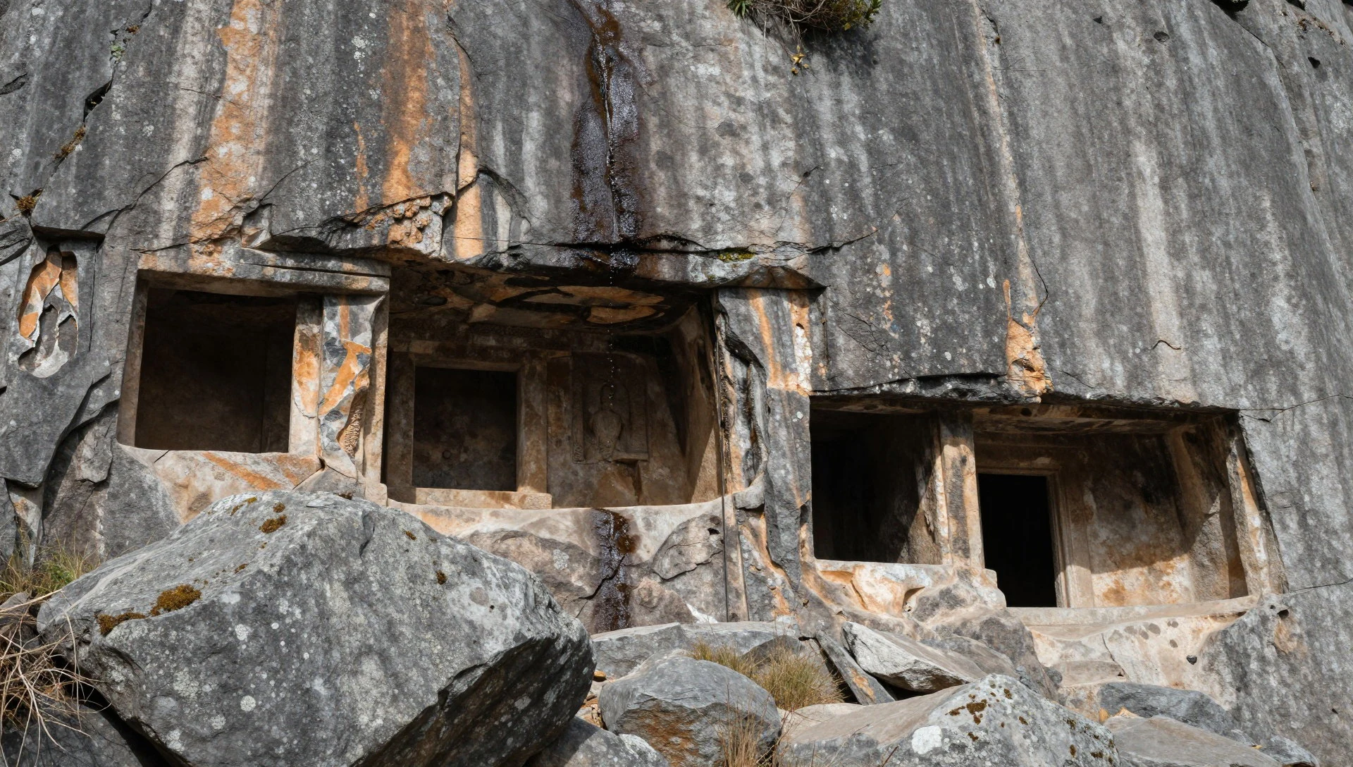
- Chachapoyas-linked settlements — Across the park’s main archaeological zones
Several archaeological remains in Río Abiseo are usually attributed to the Chachapoyas culture. Rather than one single monument, it’s more like a network of sites across the park’s protected ridges and valleys, shaped by people who settled high and lived with the wet mountain landscape.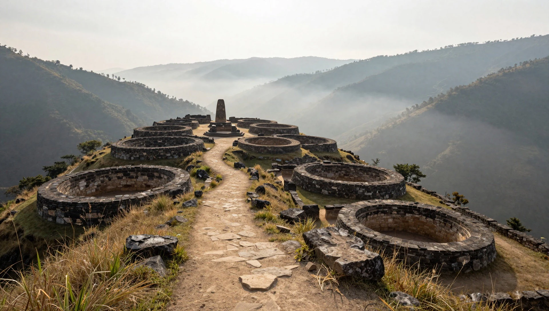
- Montecristo River canyon viewpoints — Montecristo River canyon
The Montecristo River canyon is part of the visual backbone of the park’s better-known ruins. Even without focusing on a single ruin, the canyon helps explain how settlements and trails would have followed water, ridgelines, and natural barriers inside a dense cloud-forest world.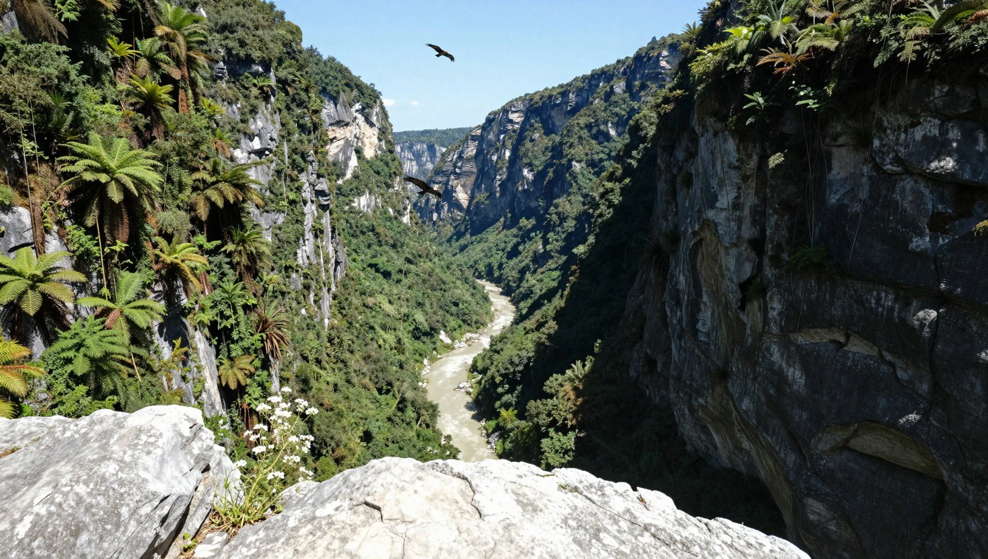
- Research and documentation landscapes — General park areas where sites were identified
Río Abiseo also has an academic “through-line”: extensive archaeological work led by the University of Colorado in the mid-1980s helped identify and interpret remains. That history shows up in how the park is talked about—less mass tourism, more study of culture and ecology in a restricted setting.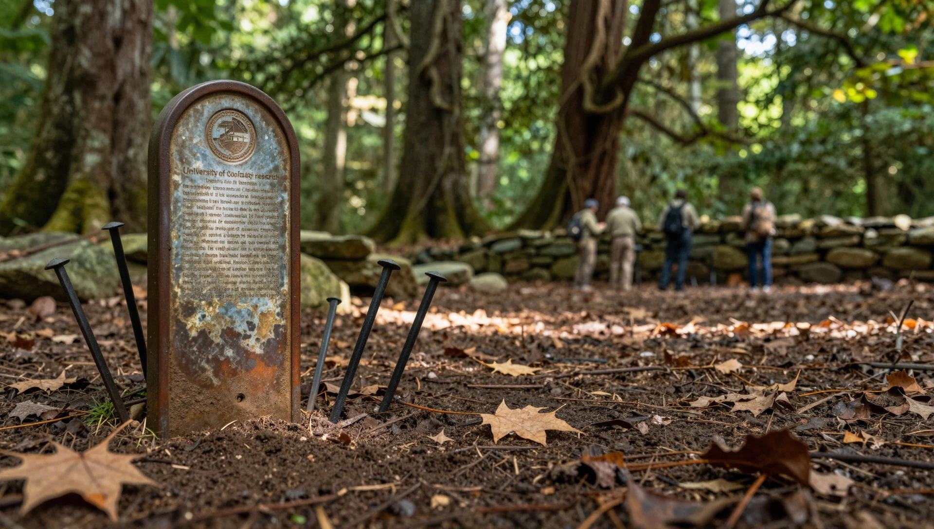
Culture
Río Abiseo National Park is culturally significant because it combines living mountain ecosystems with pre-Columbian archaeological remains, including sites often linked to the Chachapoyas. The mix is part of why access has been restricted: since 1986, tourism has not been permitted so the fragile natural and archaeological environment can be protected. In practice, that means most visitors will encounter the park more as a destination handled through local coordination than as a place for casual, independent wandering.
Respect the idea that this is a research- and conservation-oriented landscape. When talking about the sites, treat the ruins as cultural ground, not photo backdrops. The park’s cloud forest and damp conditions also matter for behaviour: wet trails can be slippery and delicate, and constant humidity makes careless movement more damaging to vegetation.
If travel plans include nearby towns for preparation, remember that local operators are the bridge between the outside world and the restricted park environment—so keep communication clear and follow whatever access guidance is provided for the specific time you visit.
What to wear
Río Abiseo National Park isn’t really a “fashion destination”, but clothing choices matter because conditions are wet and change with altitude. The park’s montane cloud forest keeps humidity high and rain falls throughout the year, especially at higher elevations; temperatures can feel cooler with elevation swings even when the lowlands are warm.
For traditional dress in the wider San Martín area, visitors will see everyday clothing rather than a single single “park uniform”, and regional textiles are worn more commonly for community and cultural events. The key for a visitor is practicality.
What to wear now: a waterproof jacket, quick-drying layers underneath, long trousers, and a hat or hood for persistent drizzle. Sturdy footwear with grip is essential because damp ground can be uneven and slippery. If access involves visiting archaeological areas, keep sleeves and legs covered as a basic sign of respect. Pack an extra dry layer in case rain becomes constant; and if the cloud drops visibility, bright colours help with safety and group-keeping without needing to step off designated paths.
What to eat
- Chicha-style maize drink (local versions) — Local markets and small eateries in gateway towns in San Martín
Look for maize-based drinks sold in regional markets and small eateries around the San Martín gateway towns, where you can find locally made variations that match wet-weather cooking and everyday Peruvian breakfasts.
- Sancocho (hearty chicken/vegetable soup) — Family-run restaurants and lunchtime menus in San Martín
In cooler, rainy mountain climates, a warming broth is common. Find it in family-run restaurants and lunchtime menus where locals eat something filling before heading back out.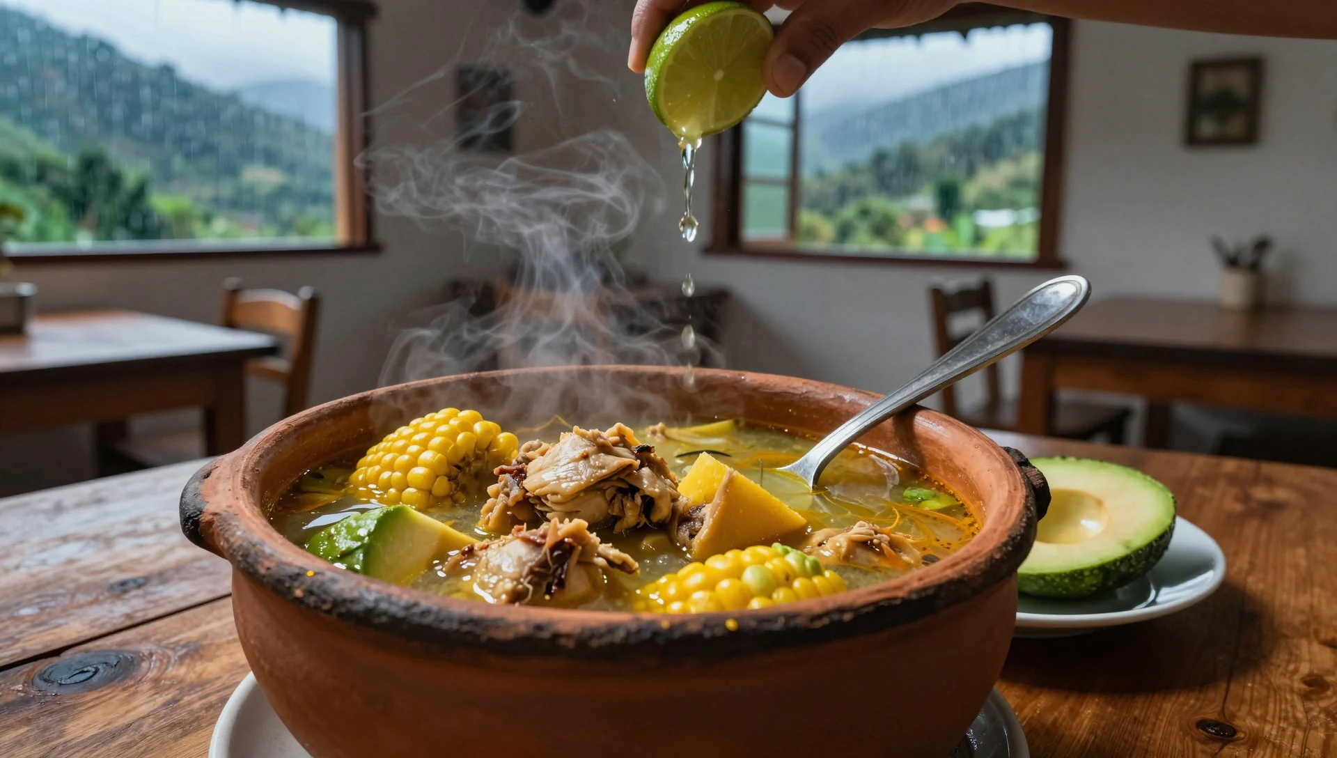
- Grilled meats with sides — Town-centre grill stalls and casual restaurants
In Peruvian town centres, simple grill stands and casual restaurants often serve meat with starchy sides, making it easy to eat quickly after a long day. Choose cooked food that’s served hot. - Ceviche or fresh seafood (when available) — Reputable restaurants in nearby towns when it appears on menus
Even away from the coast, some eateries serve citrus-marinated seafood depending on supply. If it’s on the menu, go for reputable places and eat it fresh, with plenty of water on the side. - Fruit and simple snacks — Corner shops, market stalls, and roadside snack vendors
Carryable fruit and small snacks are handy when weather delays plans or when coordination for access runs long. This is the easiest way to stay energised between meals.
Plan it
Best time. March–April and October–November suit the general “drier windows” pattern for many cloud-forest mountain trips, while June is the rainy season and high elevations can stay damp year-round; August is hot and humid.
How long. 3–4
Getting there. Fly into Tarapoto area, then rely on coordination with hotels to connect with local operators who arrange transportation to the park; the final leg is handled locally.
Budget. mid
Tips
- Reach out to hotels in Tarapoto to locate local operators who can organise the journey to the park
- Plan around persistent wet weather: keep waterproof layers ready even if the morning starts bright
- Build in buffer time for coordination since access has been restricted since 1986
- If high-altitude parts are involved, move slowly and keep hydration steady
Etiquette
- Follow official routes and any access conditions given for archaeological areas
- Do not touch or climb on archaeological features—treat ruins as fragile cultural ground
- Keep noise low when moving through forested areas to avoid unnecessary disruption
Nearby
Sources
- Wikidata Q941412 (CC0)
- Wikipedia (rev 1372188687) (CC BY-SA 4.0)
- Wikivoyage (rev 5290716) (CC BY-SA 4.0)
- Photo photos/01-cataratas-del-breo.jpg (CC BY 3.0)
- Photo photos/02-king-vulture.jpg (CC BY-SA 2.0)
- Photo photos/03-catarata-el-breo-martin-chumbe.jpg (CC BY-SA 4.0)
- Photo photos/04-hilmer-hurtado-flores.jpg (CC BY-SA 4.0)
- Photo photos/05-rio-abiseo-national-park-banner.jpg (CC BY 3.0)


